Once in a while -as I get a chance to go flying or visit GA airport accessible locations, I will post a featured
event with photo's and/or videos, and list a few facts about it that may interest you. I
encourage our members and visitors to do the same and send us their
contributions!
To learn more, in detail,
about Texas airports, please visit our
Fly Texas page and
click the "Texas Airports and Heliports" button; we also encourage you to
study the whole page while you are there too!
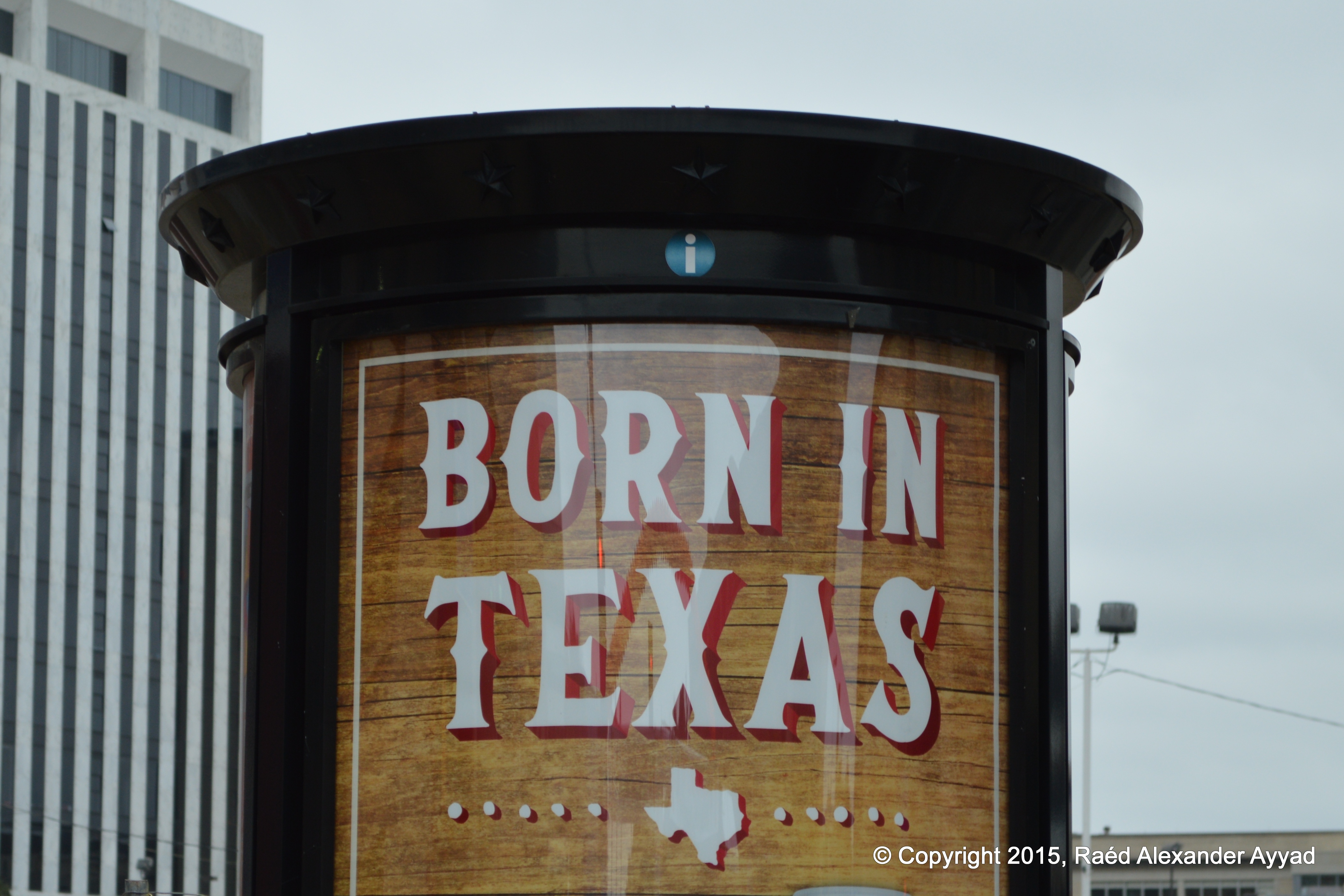
Celebrating 150 years of
aviation
in Texas,
and more to come! Let us now take a vow:
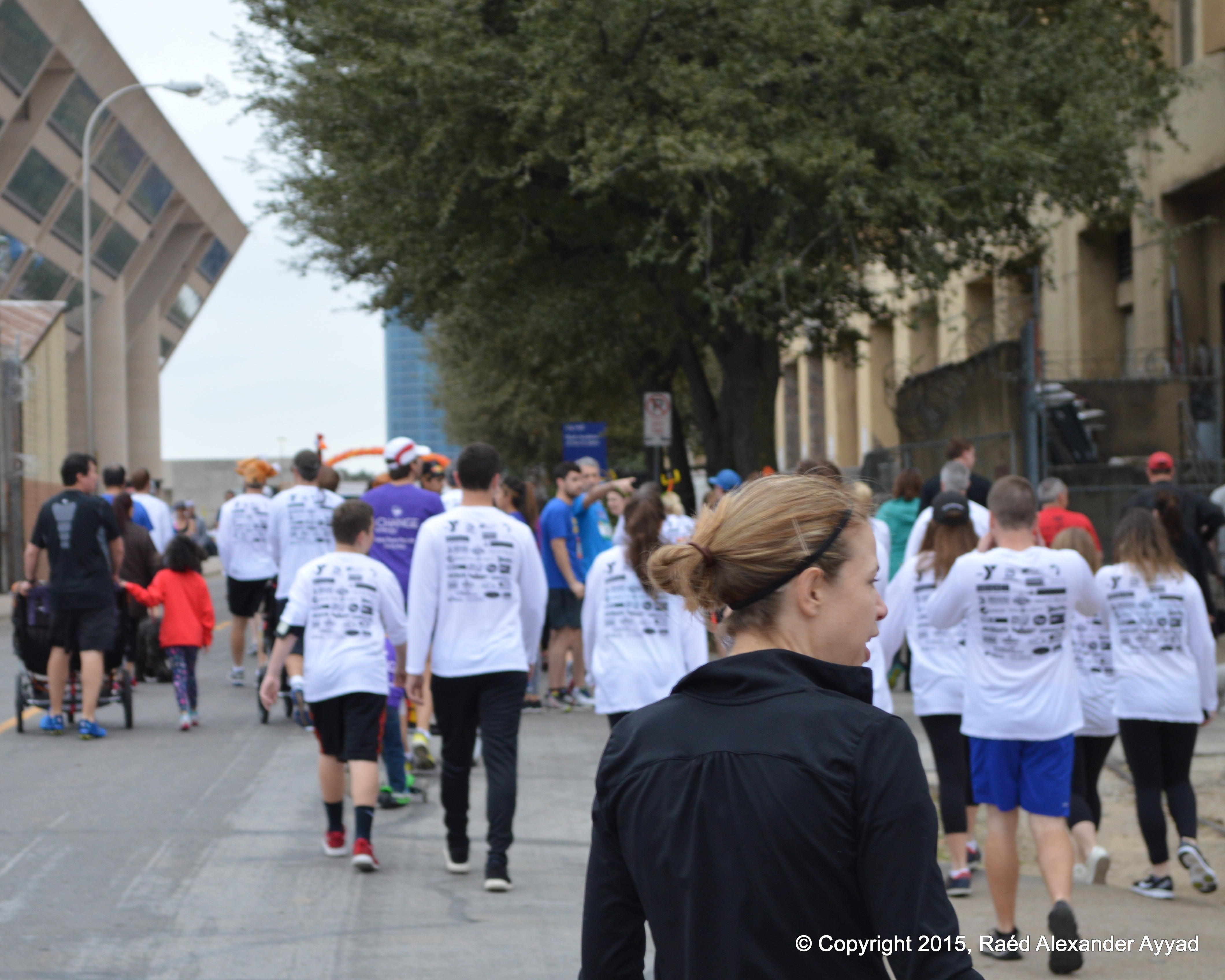
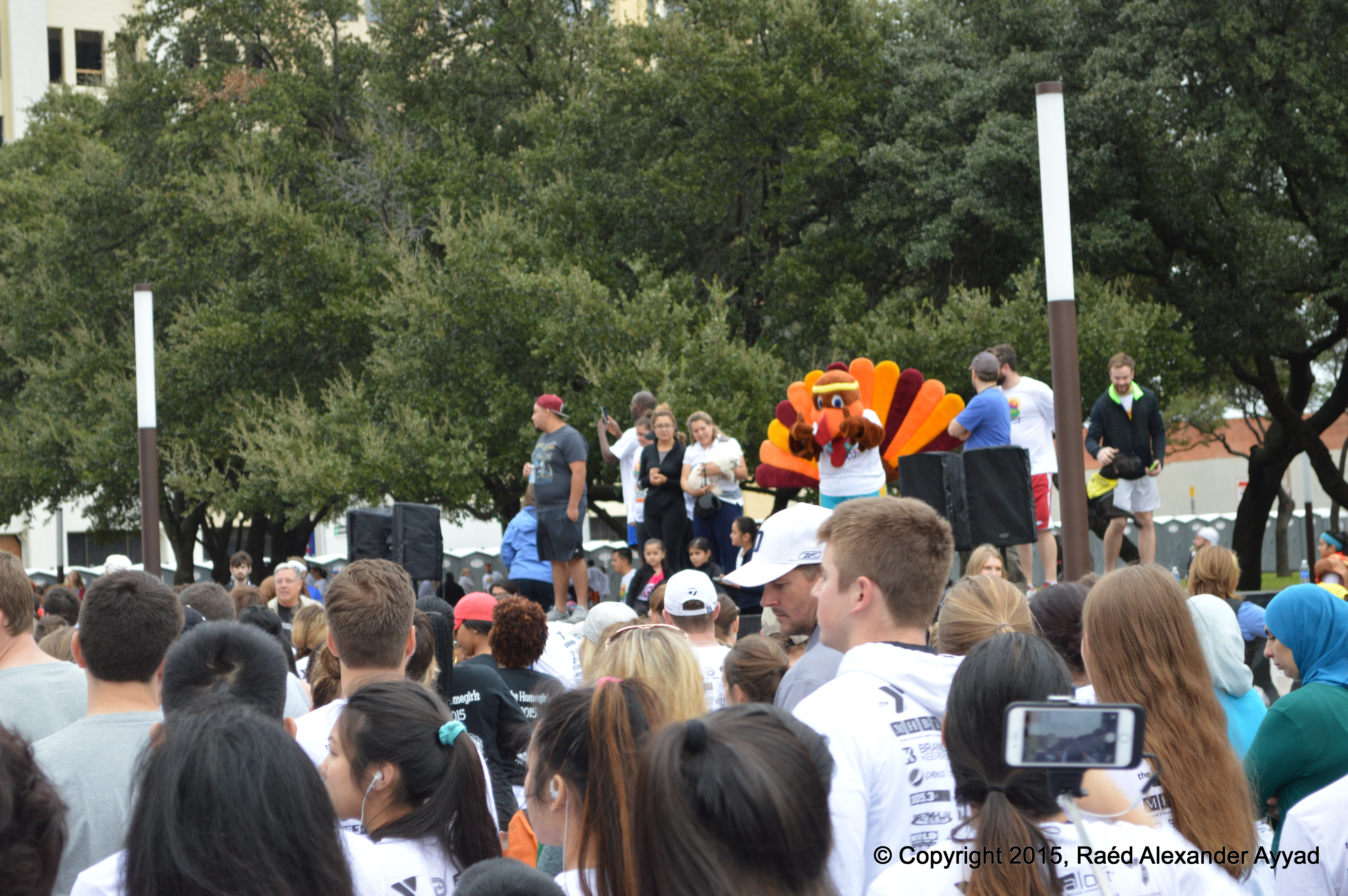
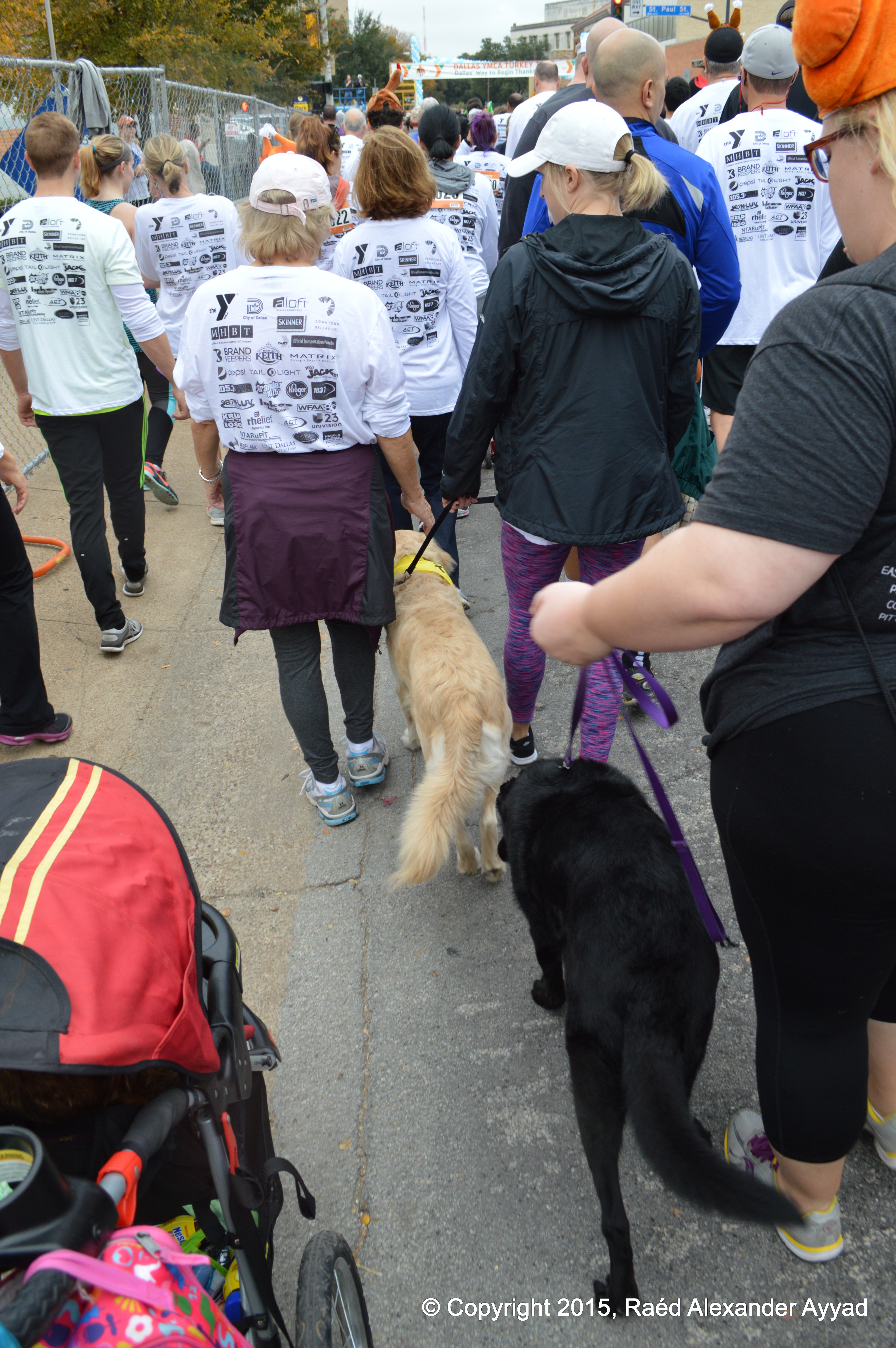
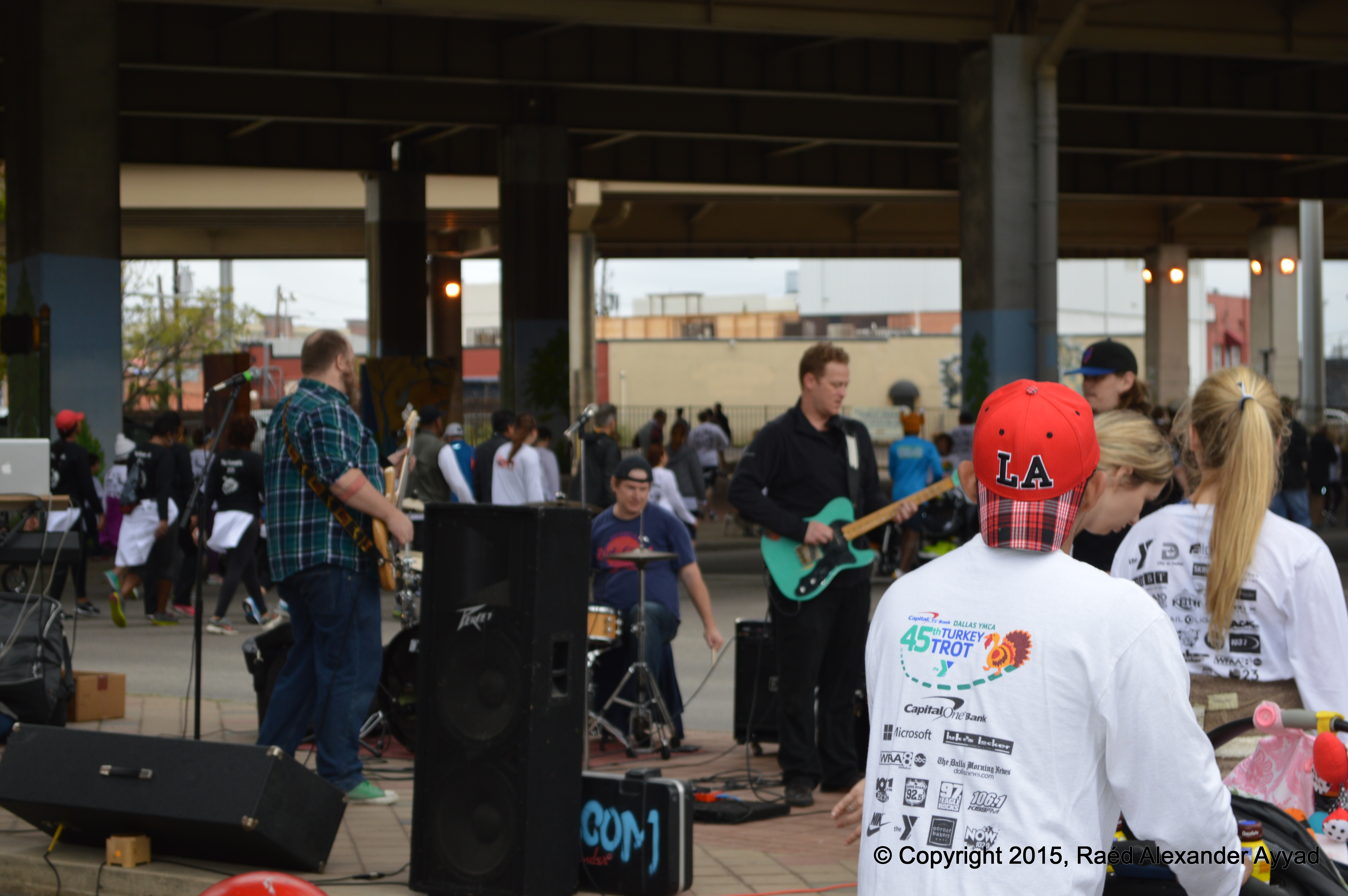
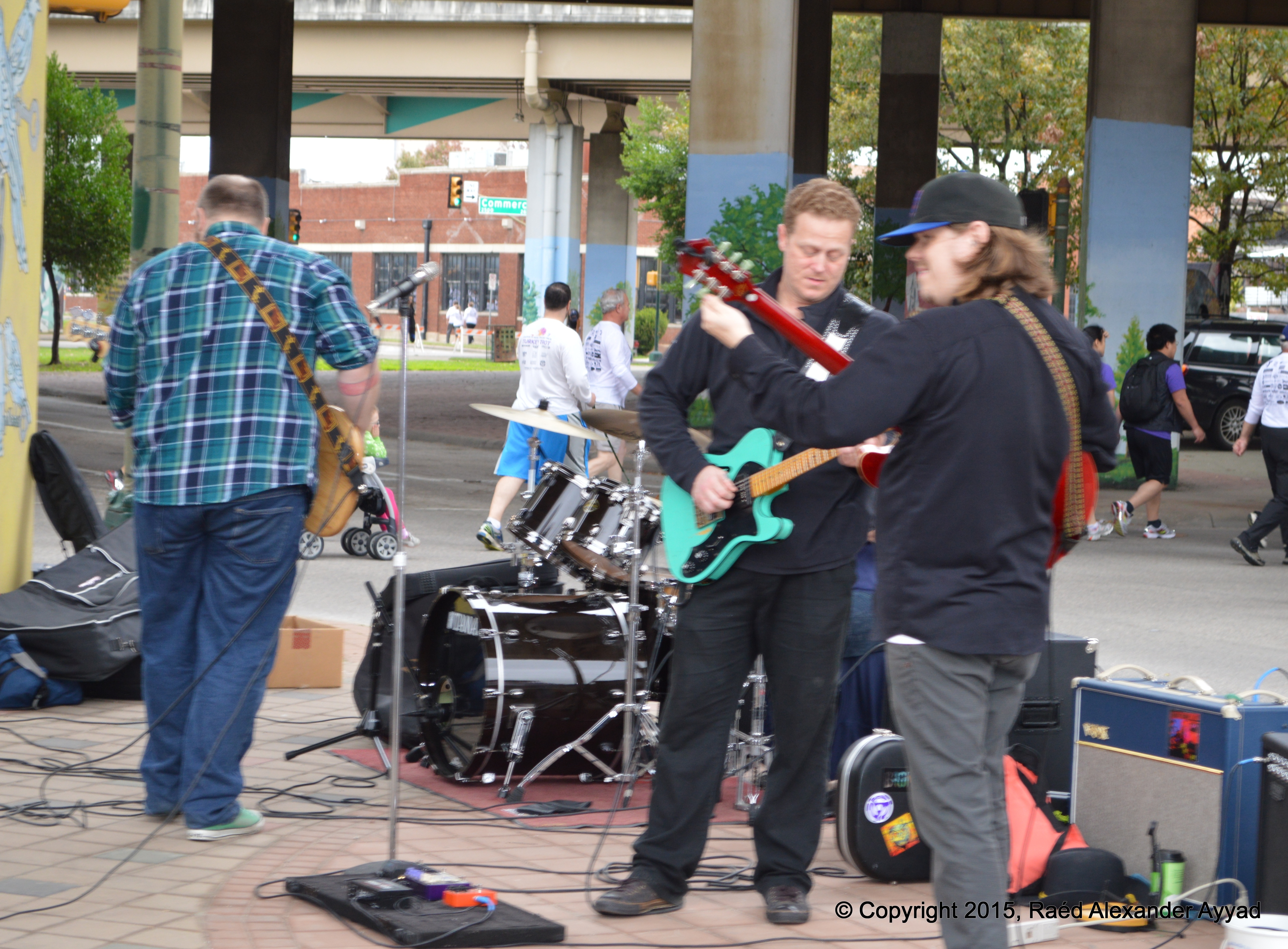
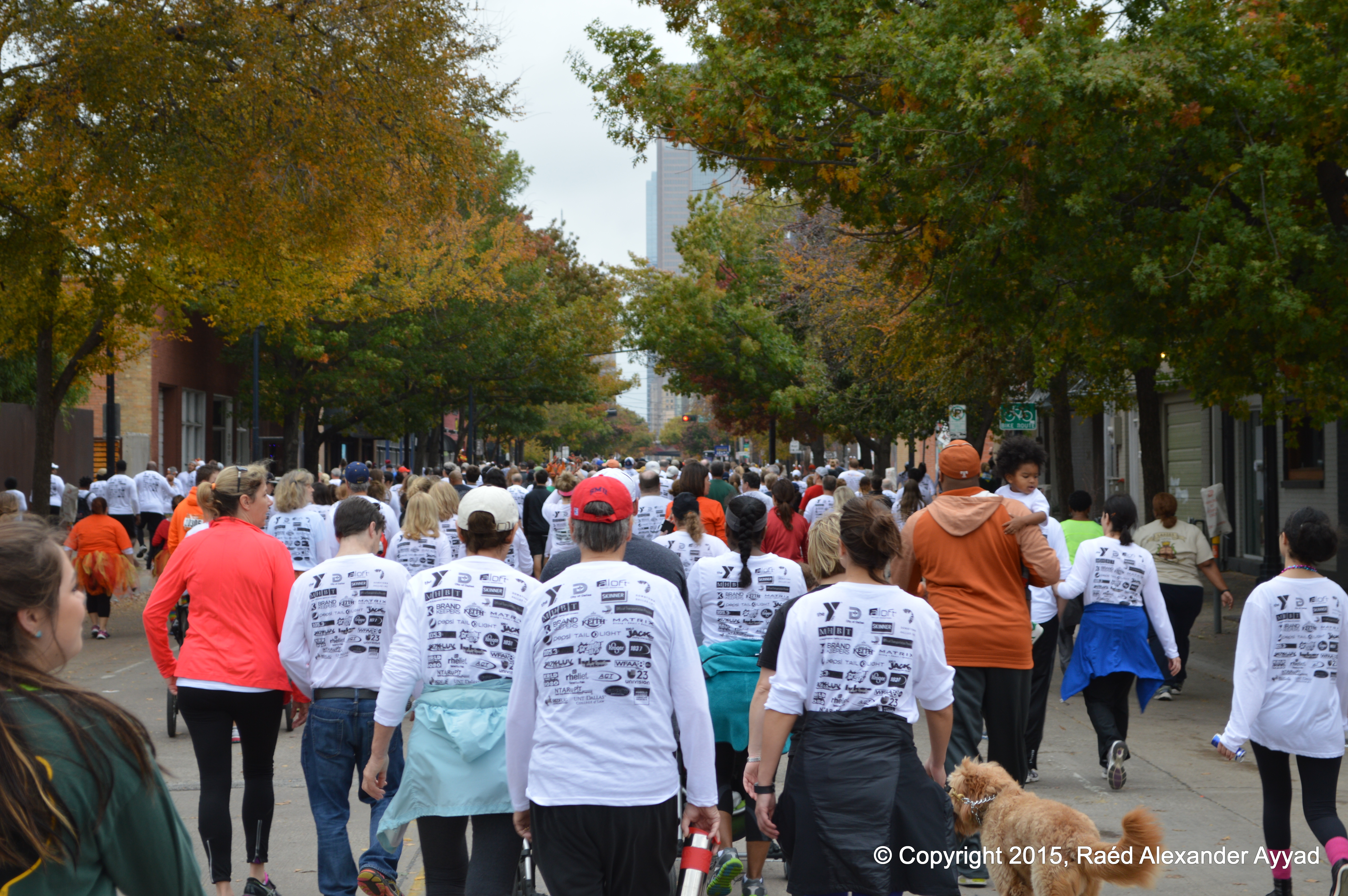
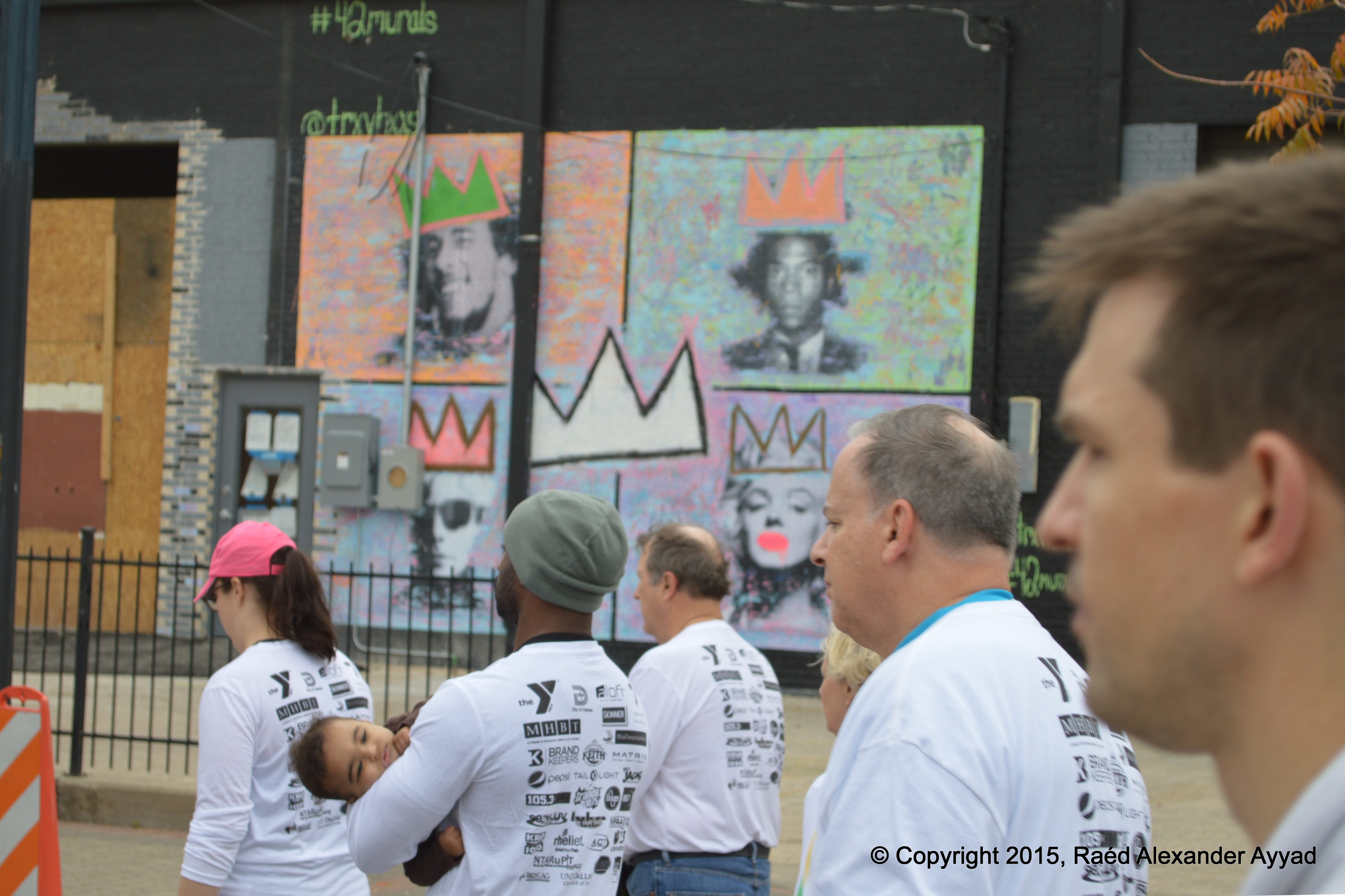
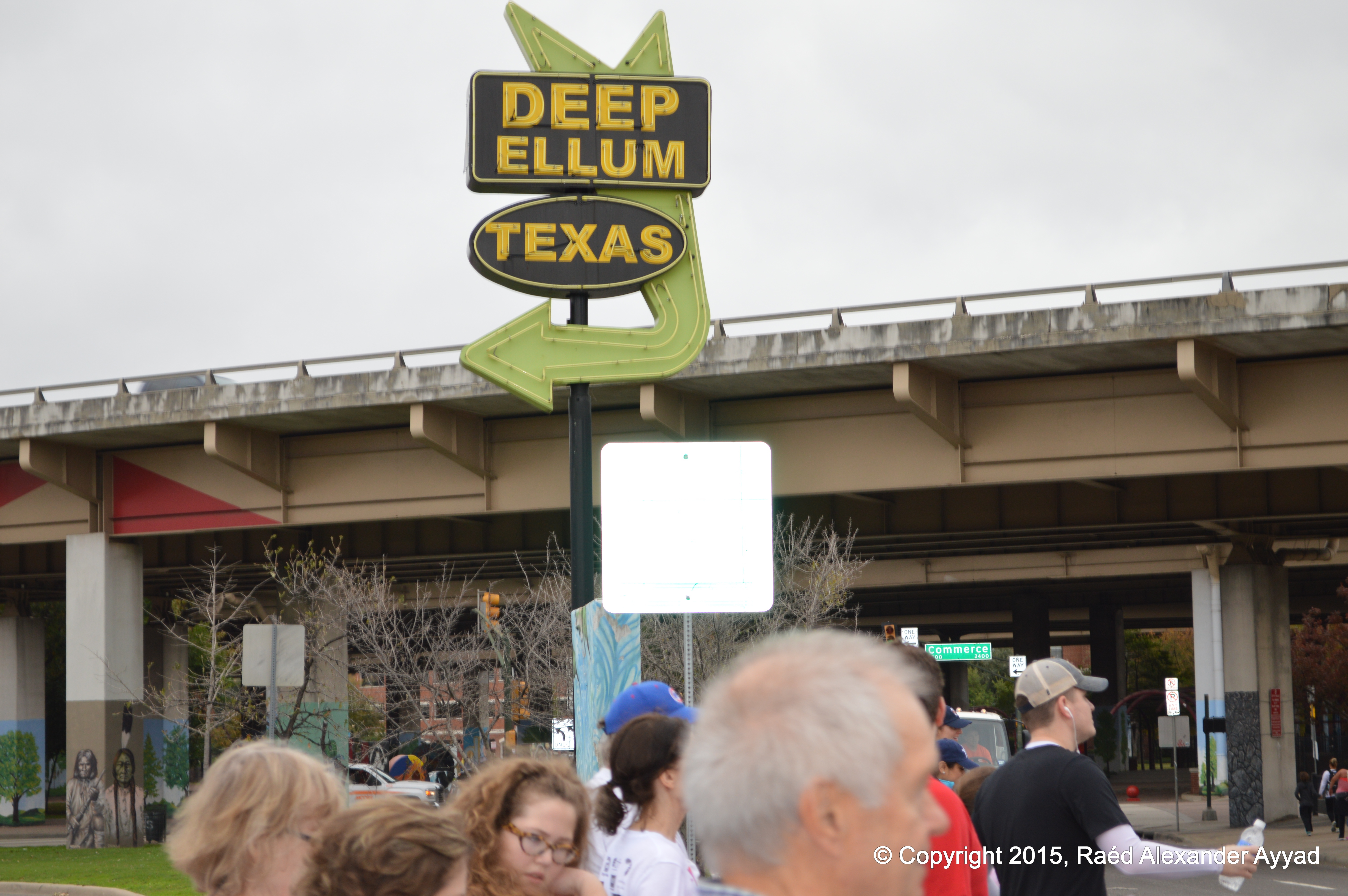
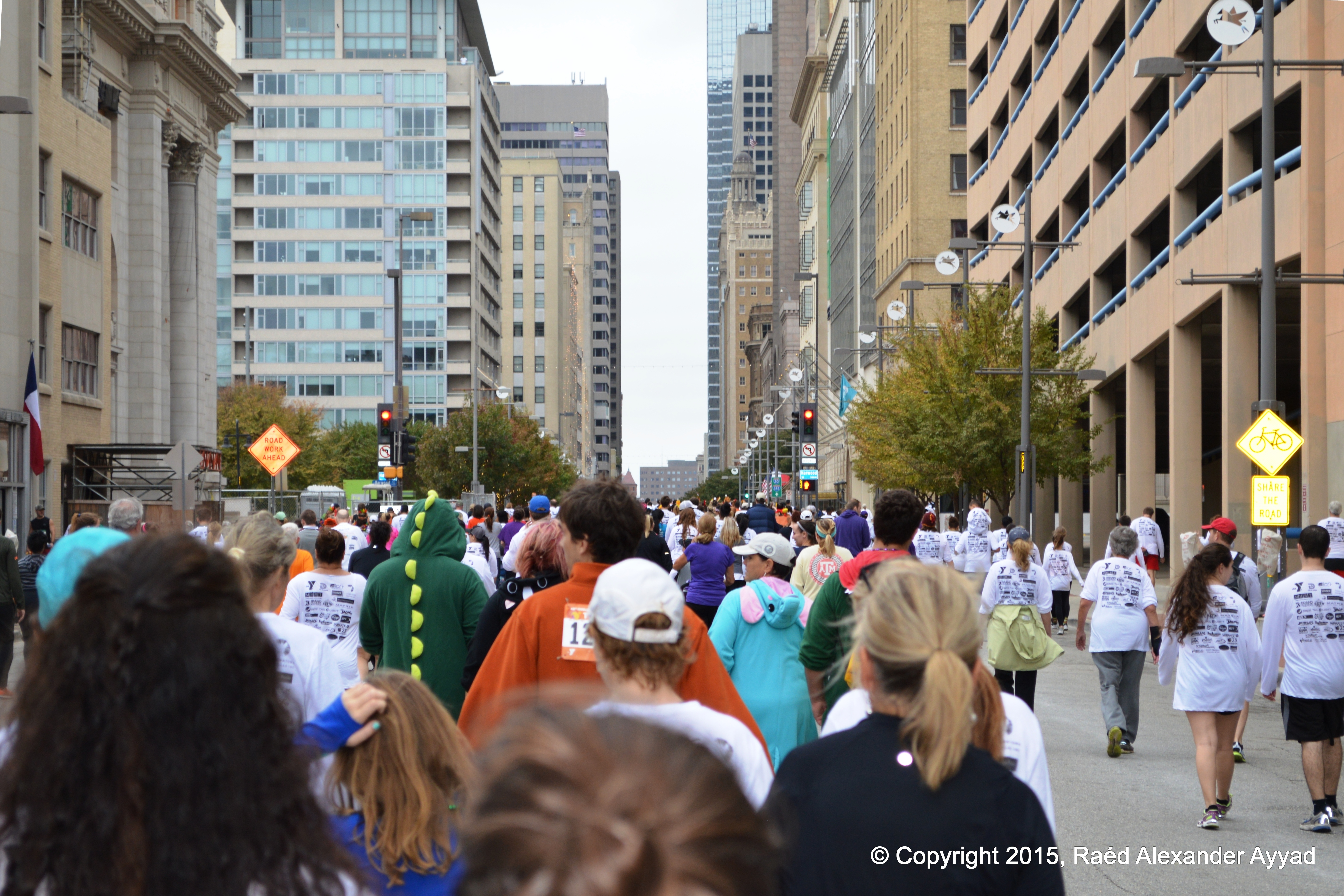
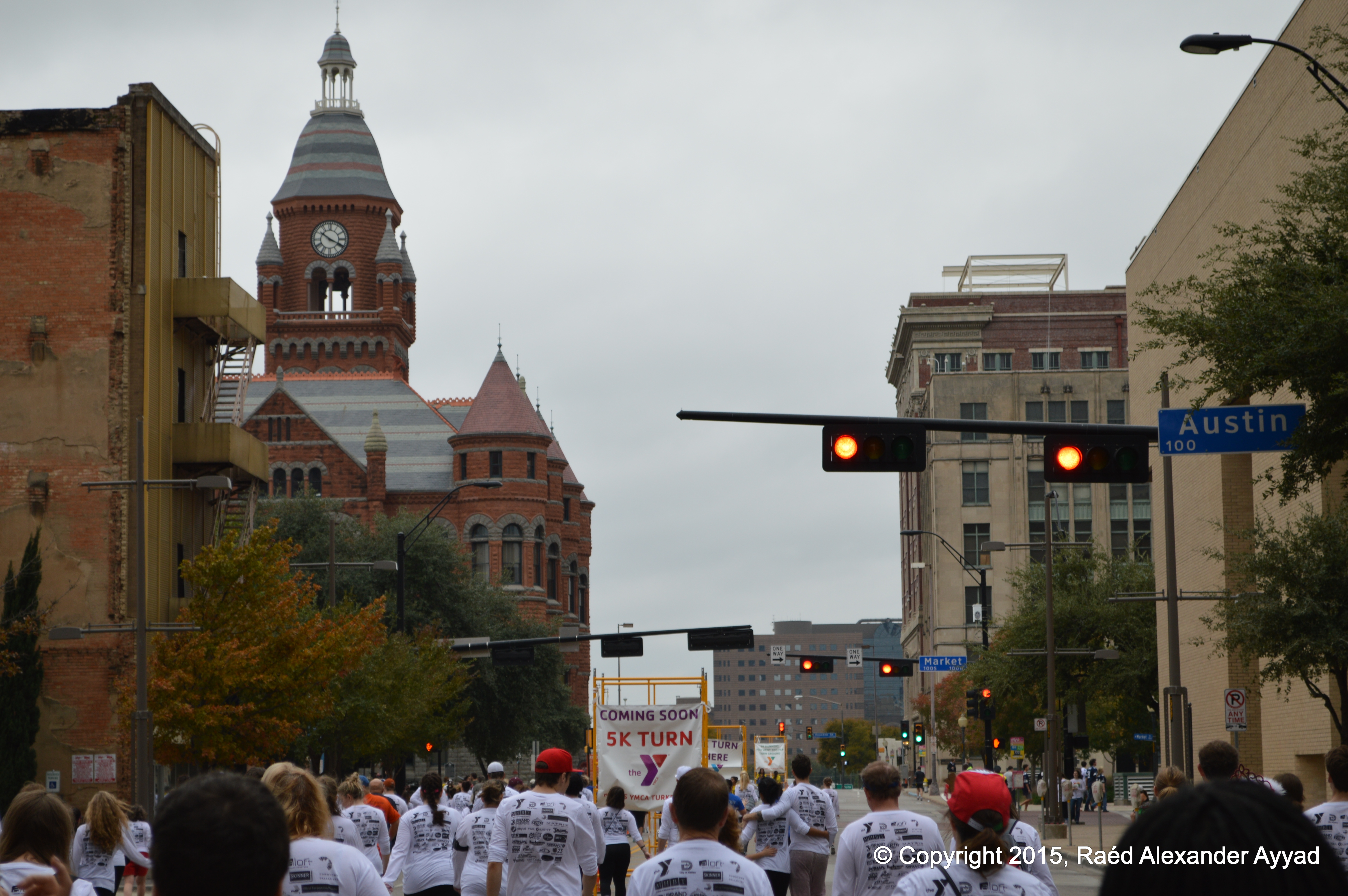
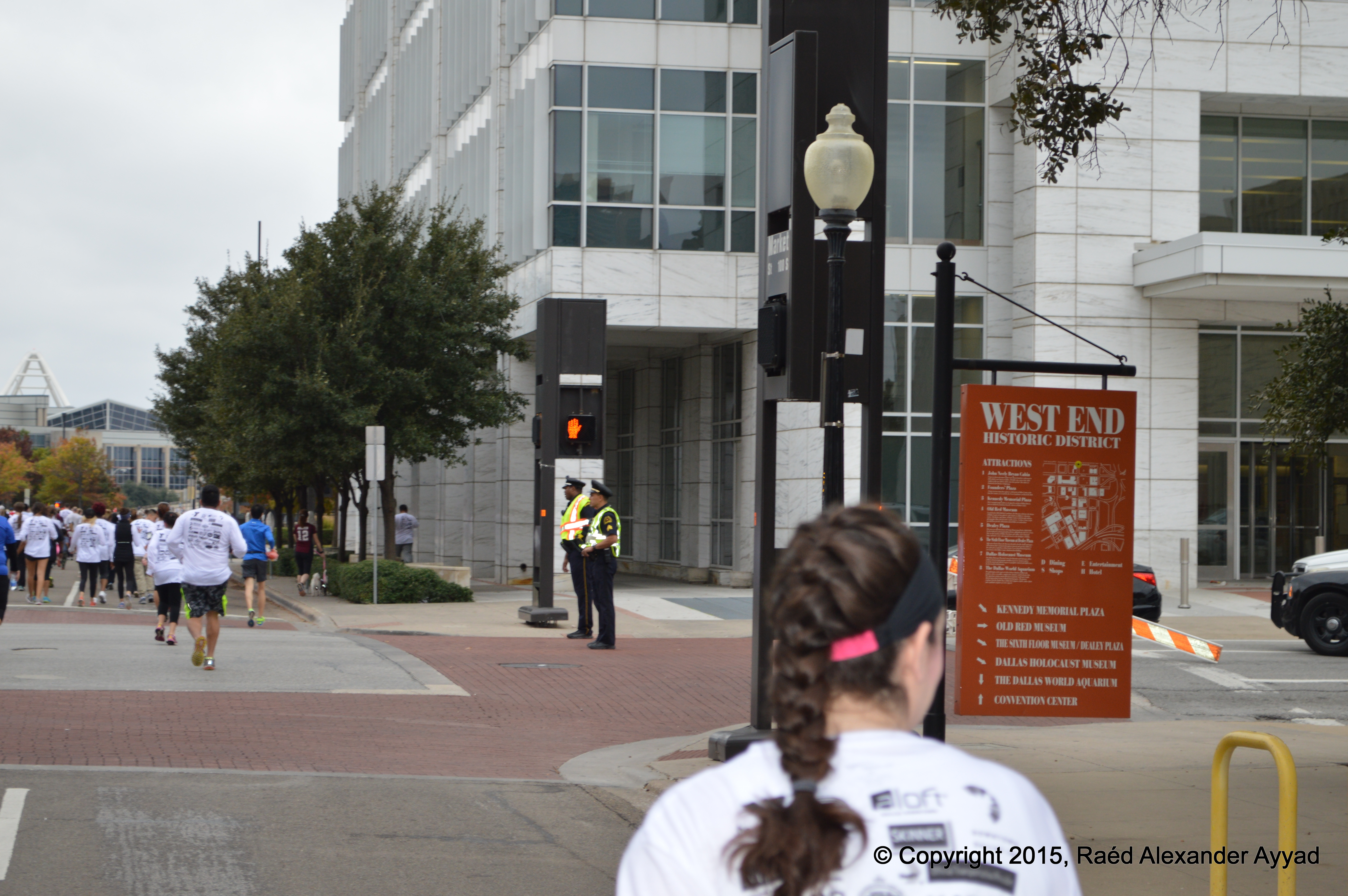
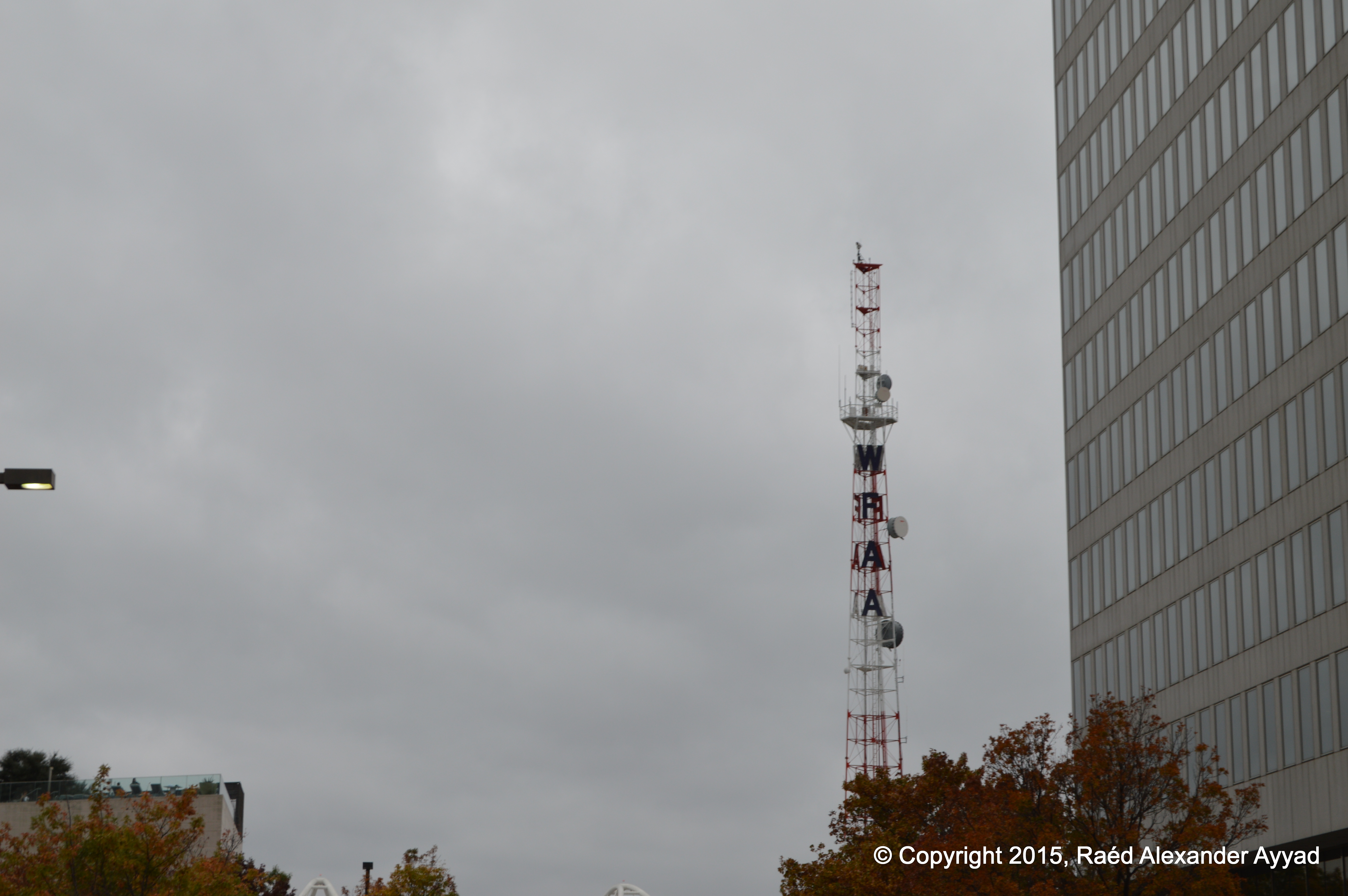
What another
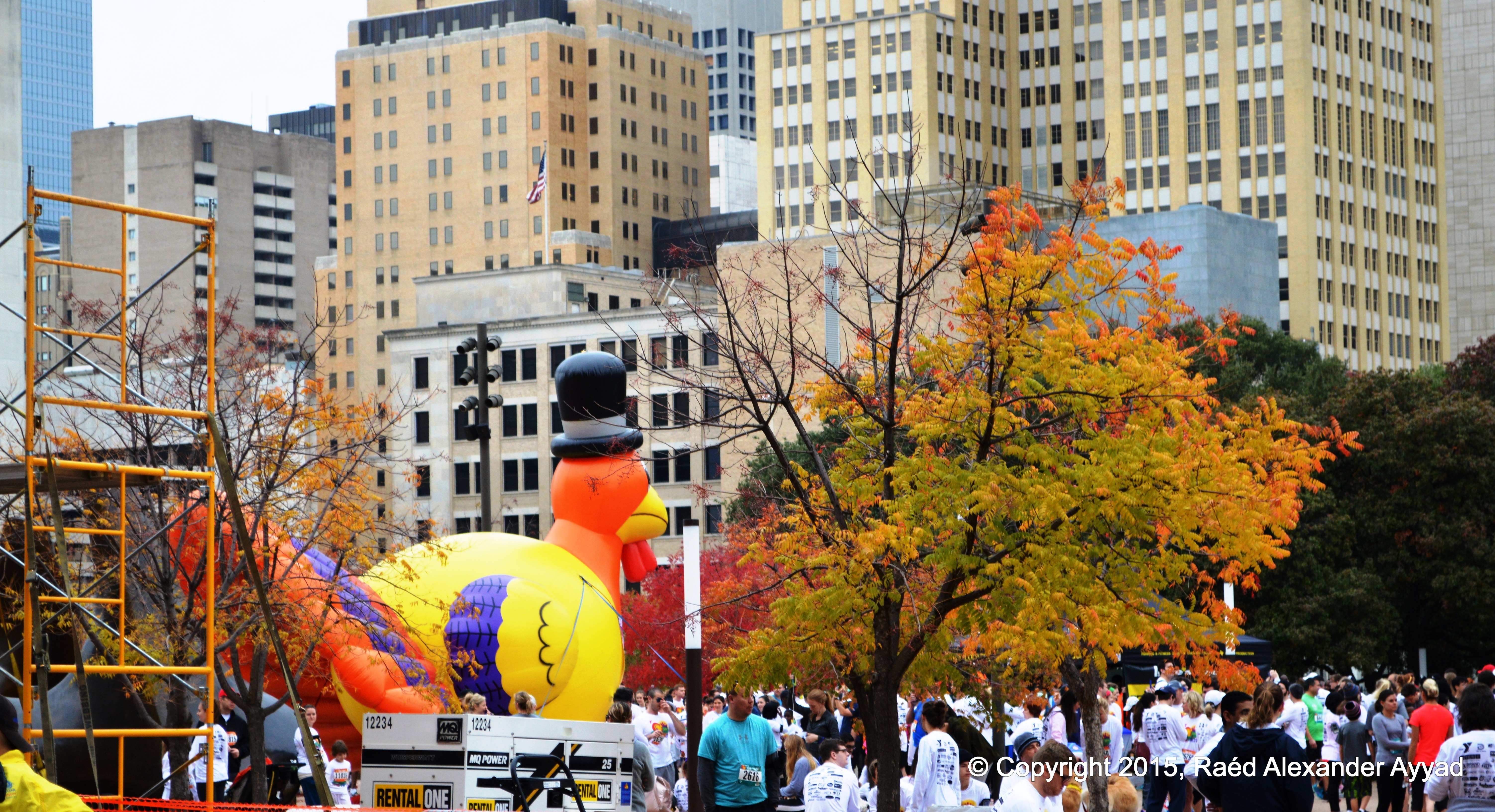
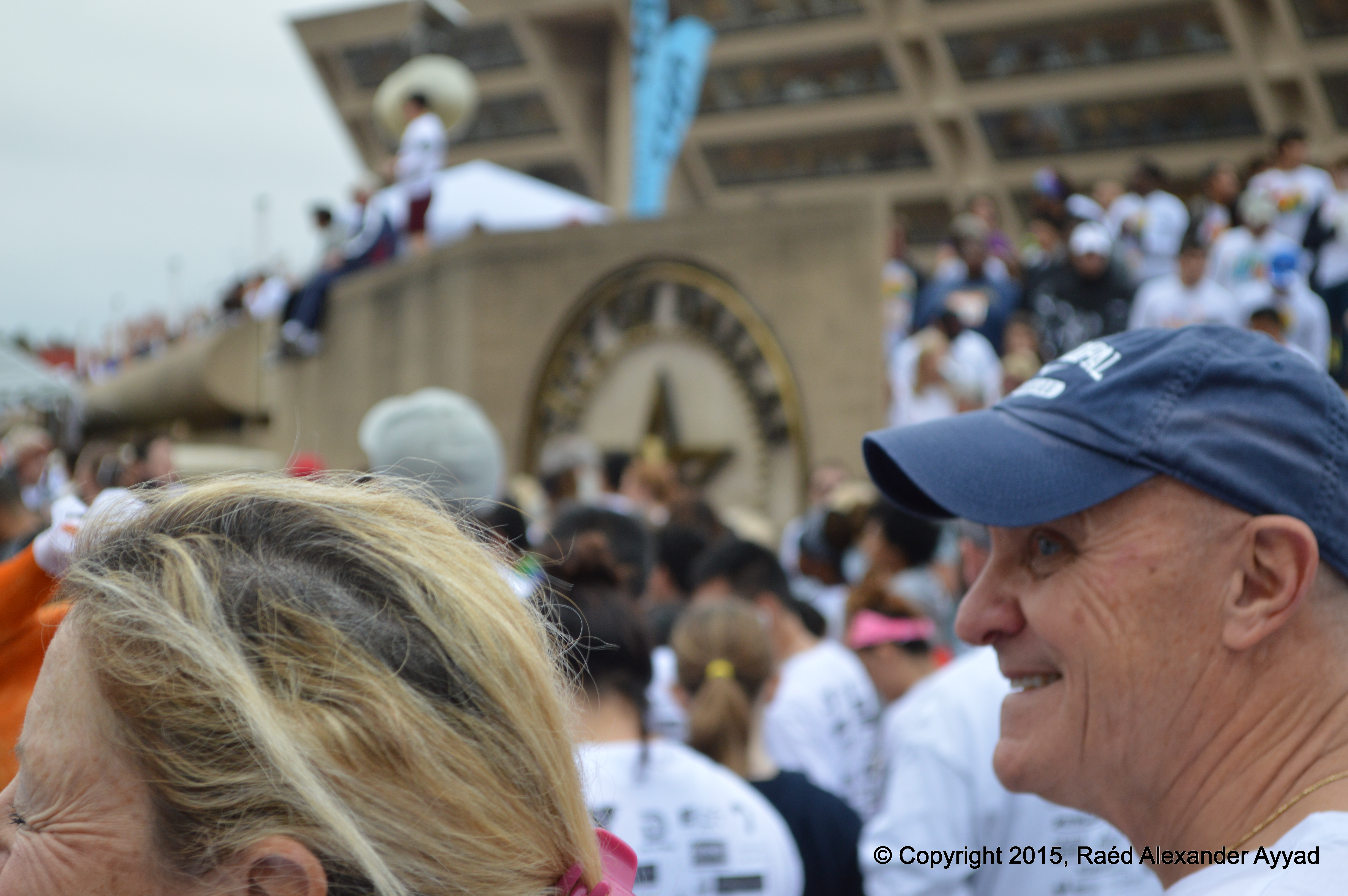
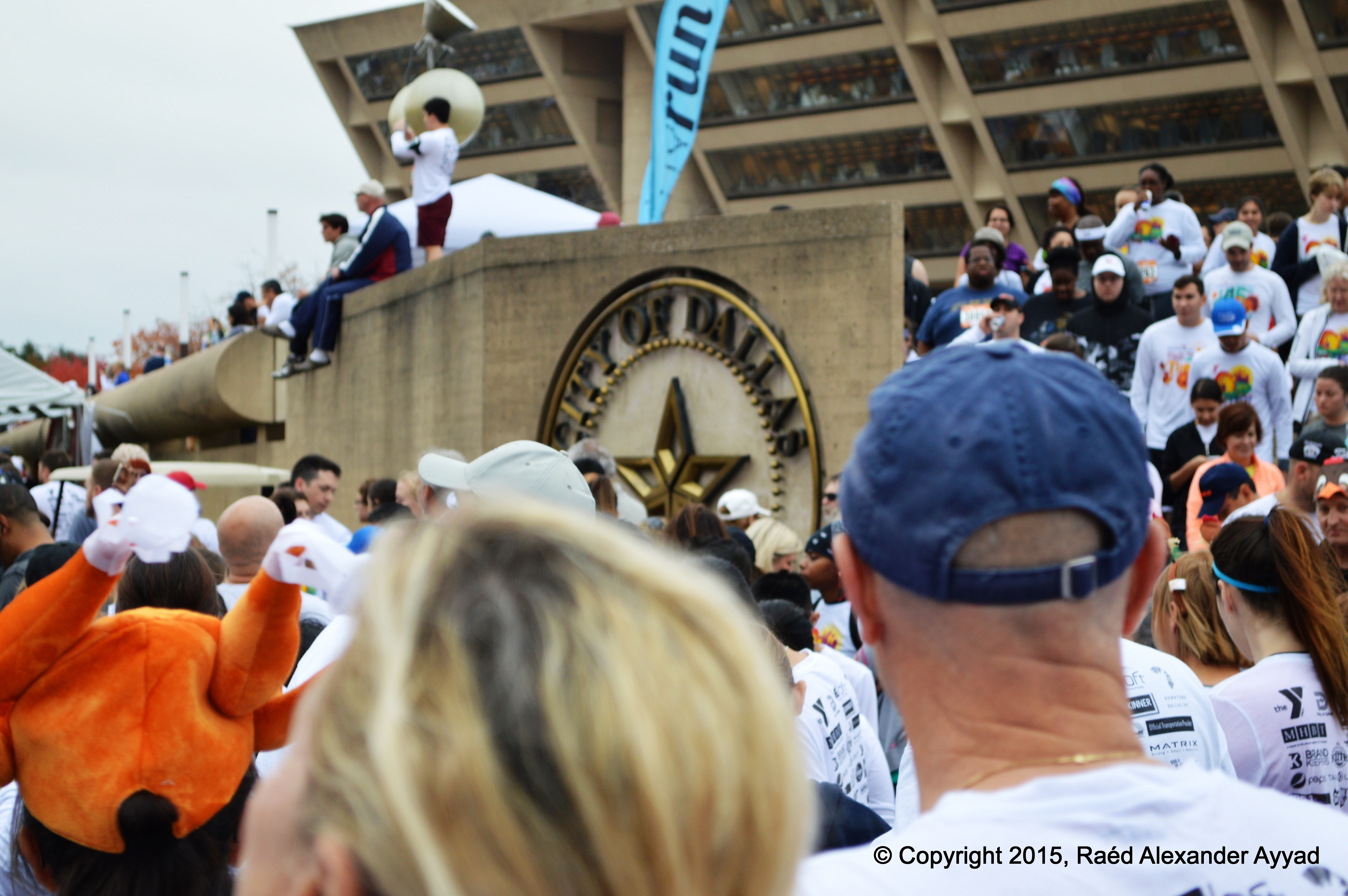
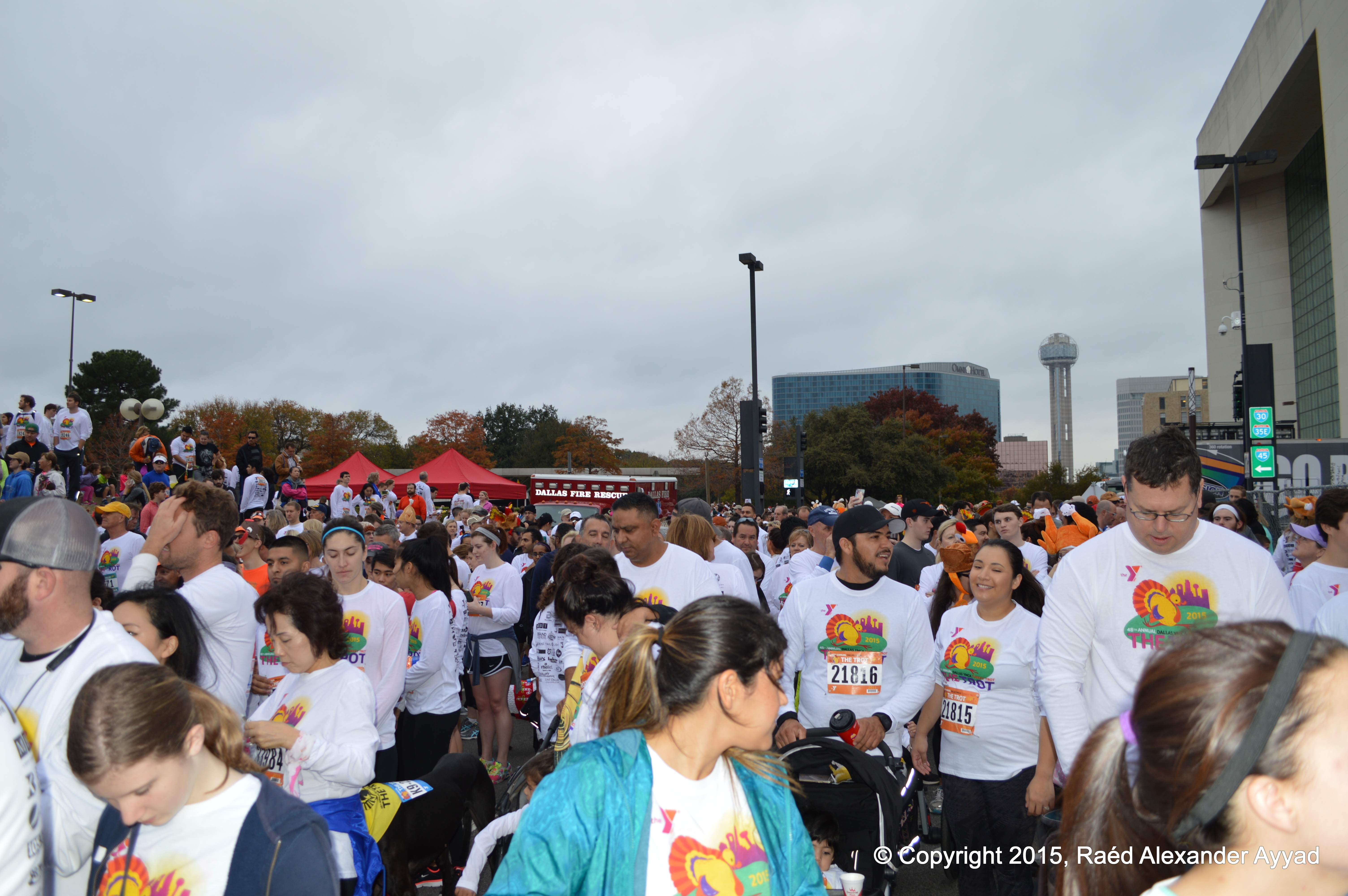
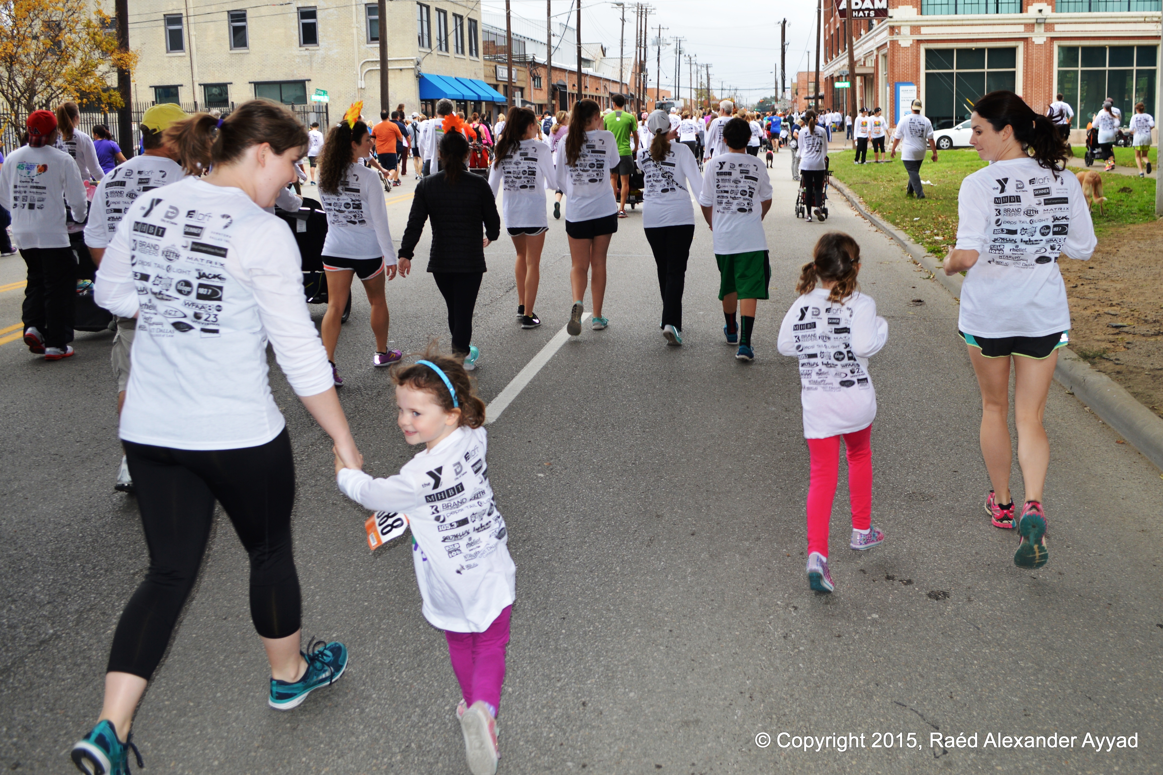
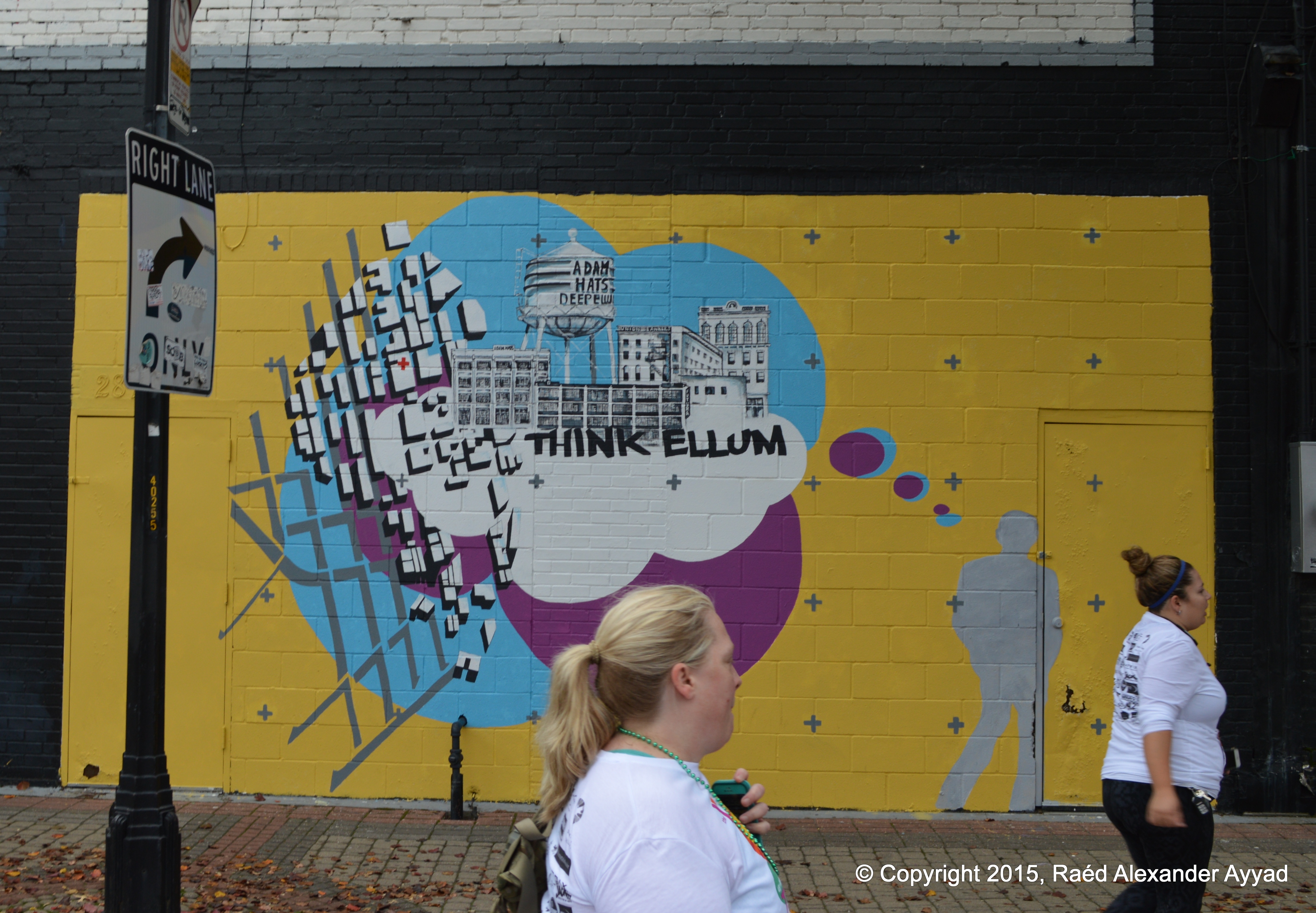
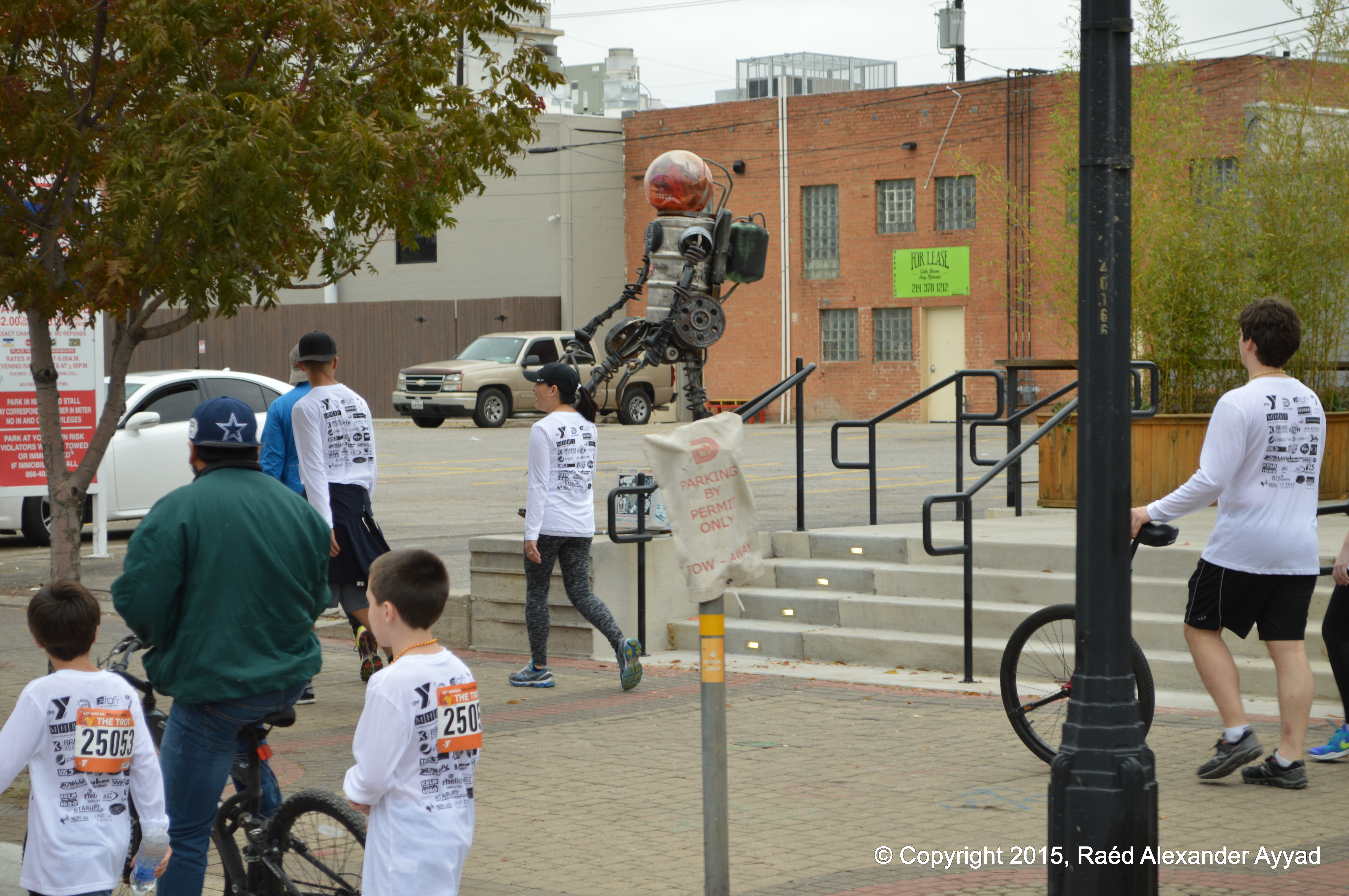
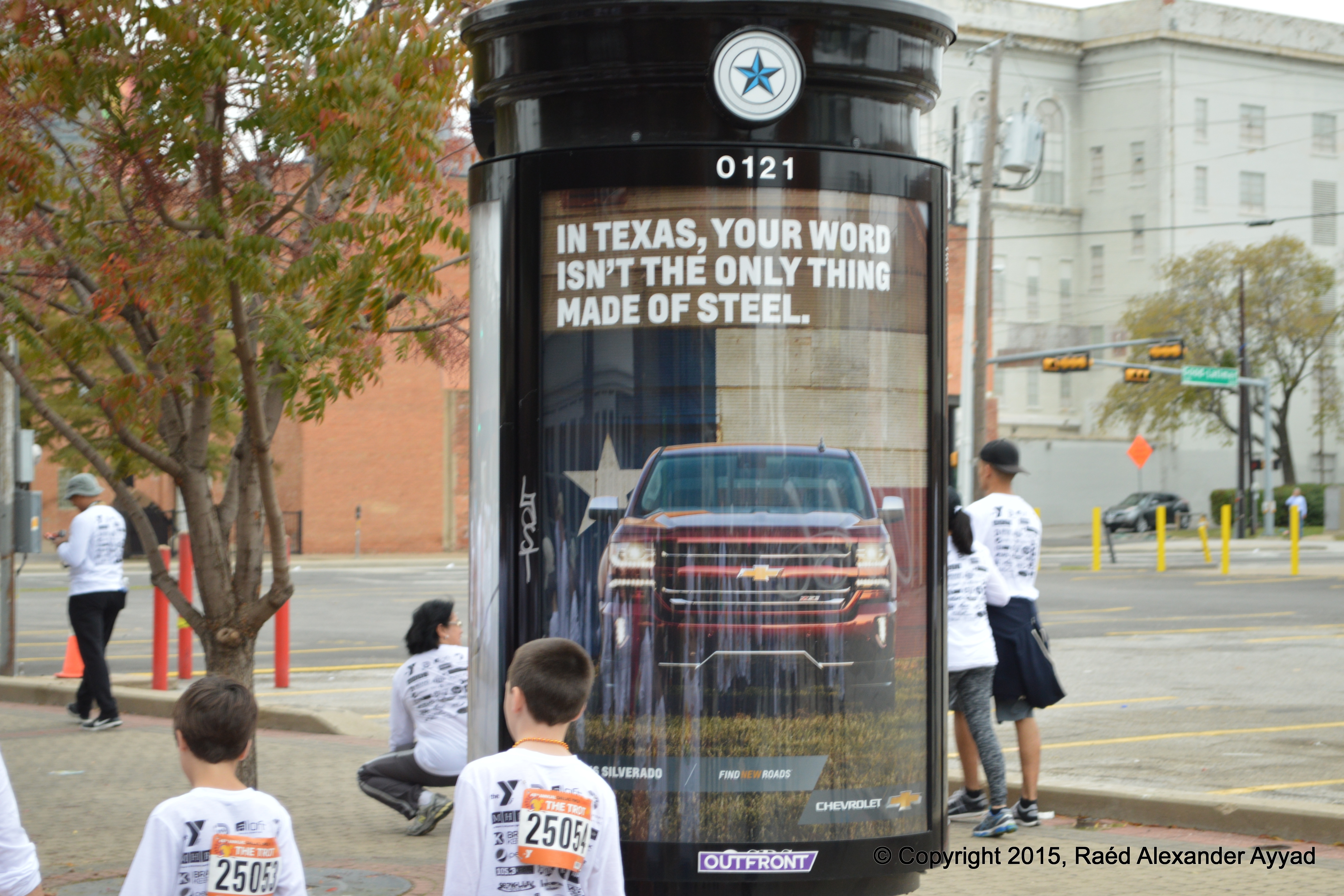
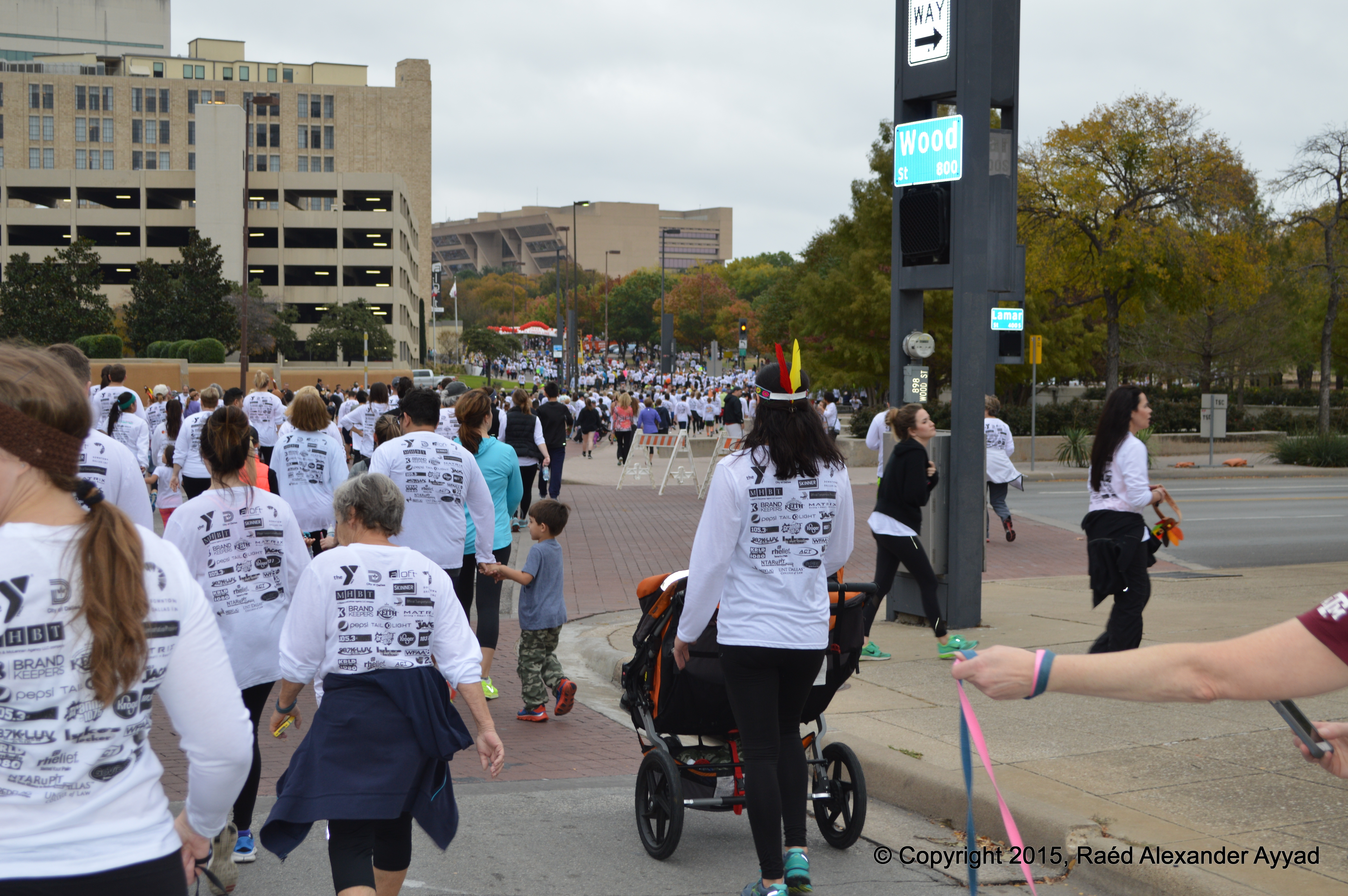
great Dallas event! With my crazy work schedule, I have not been keeping up
with the happenings in the DFW Metroplex, until a day ago, Thanksgiving eve,
I was reminded about The
Trot by a registered participant, who injured his legs
during his last day of preparation and training, and who offered me the
opportunity to attend in his place.
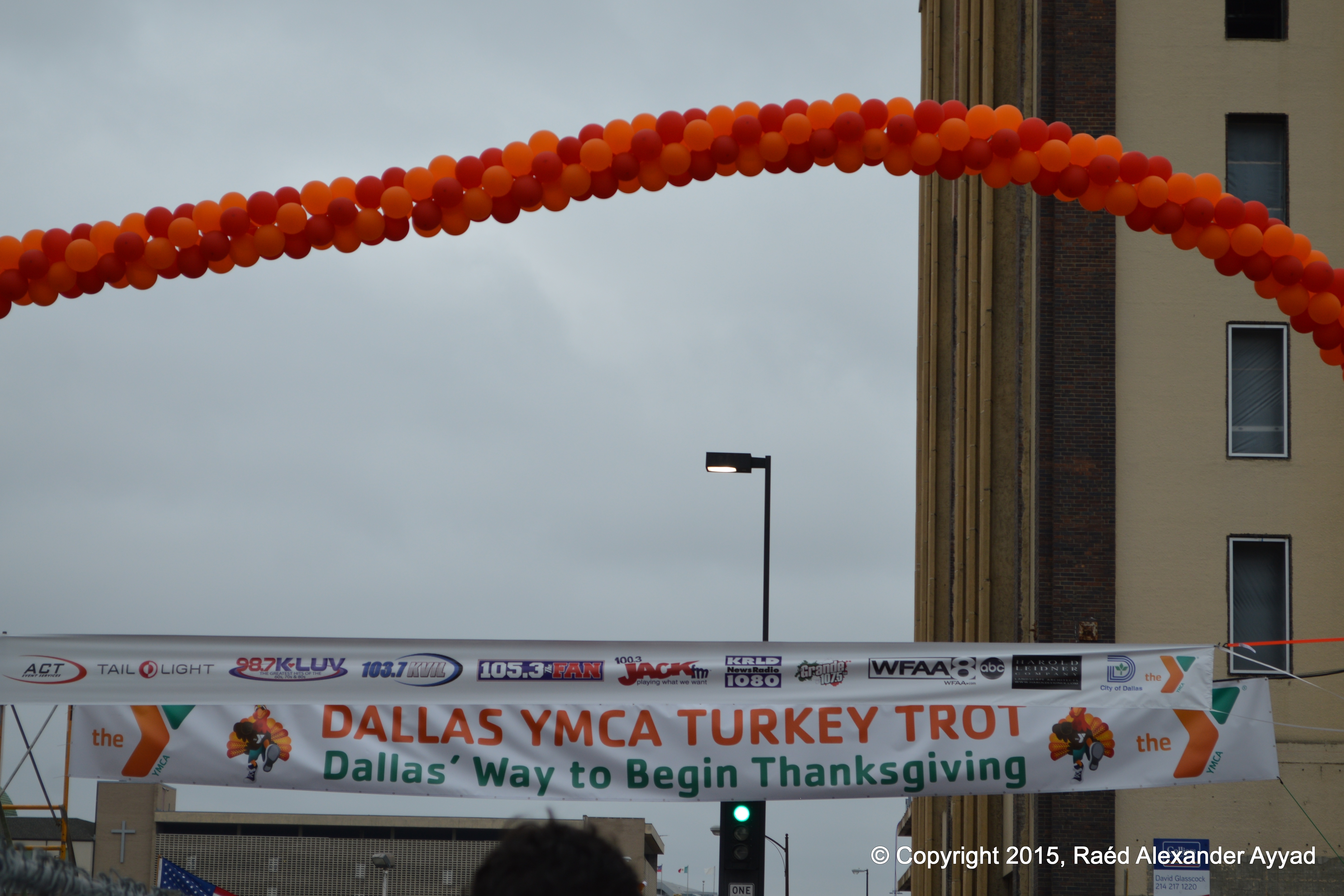
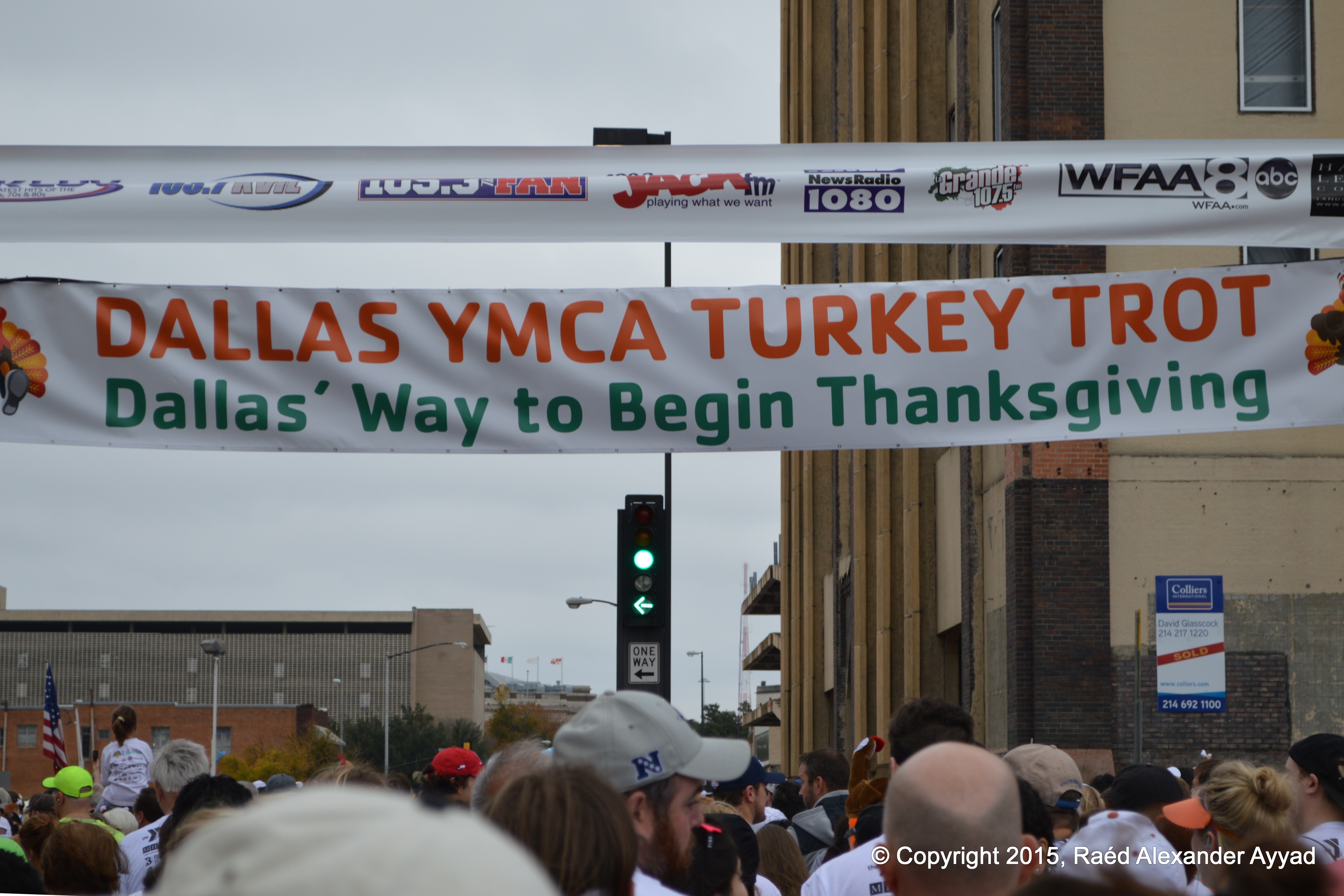
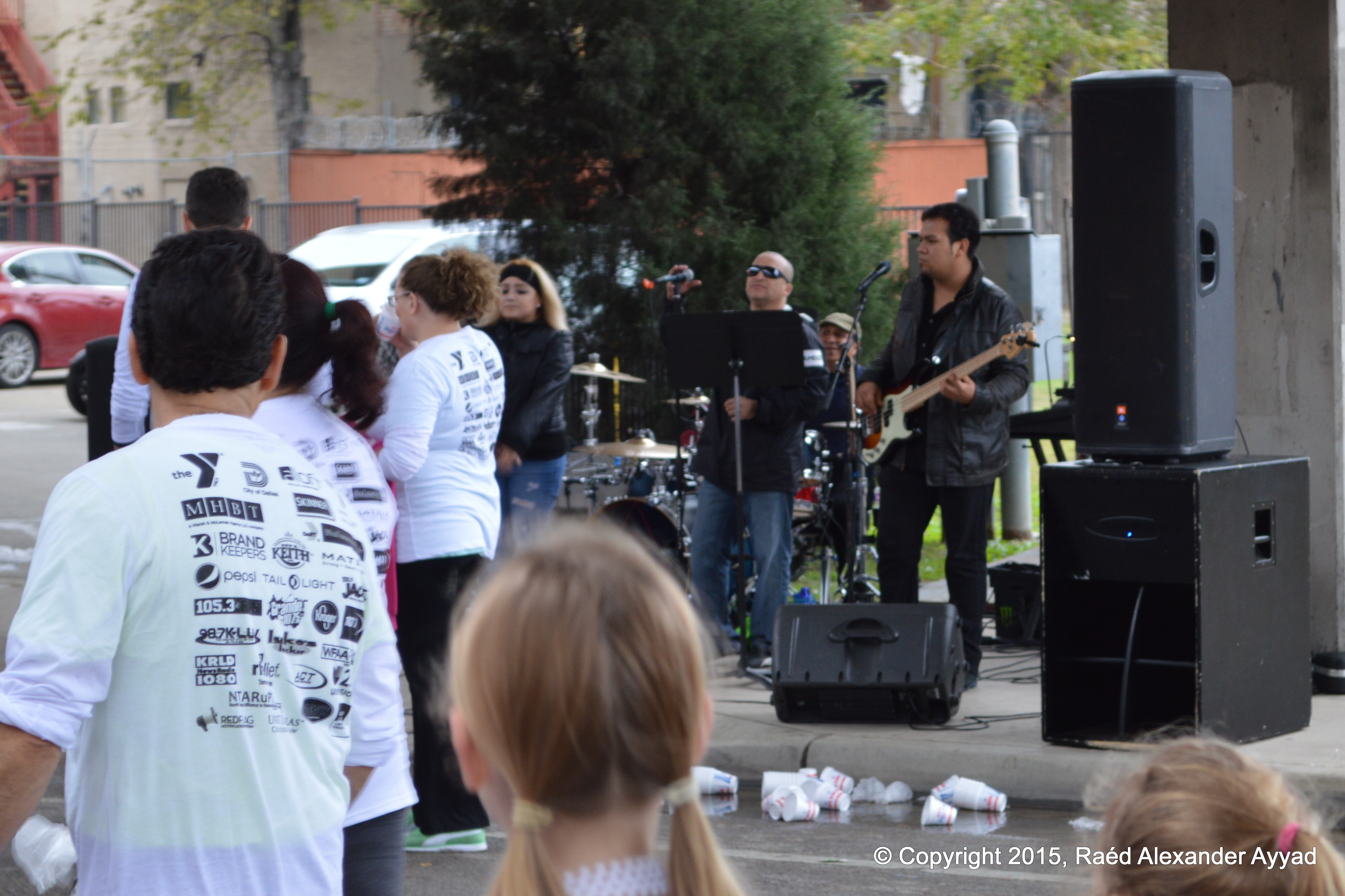
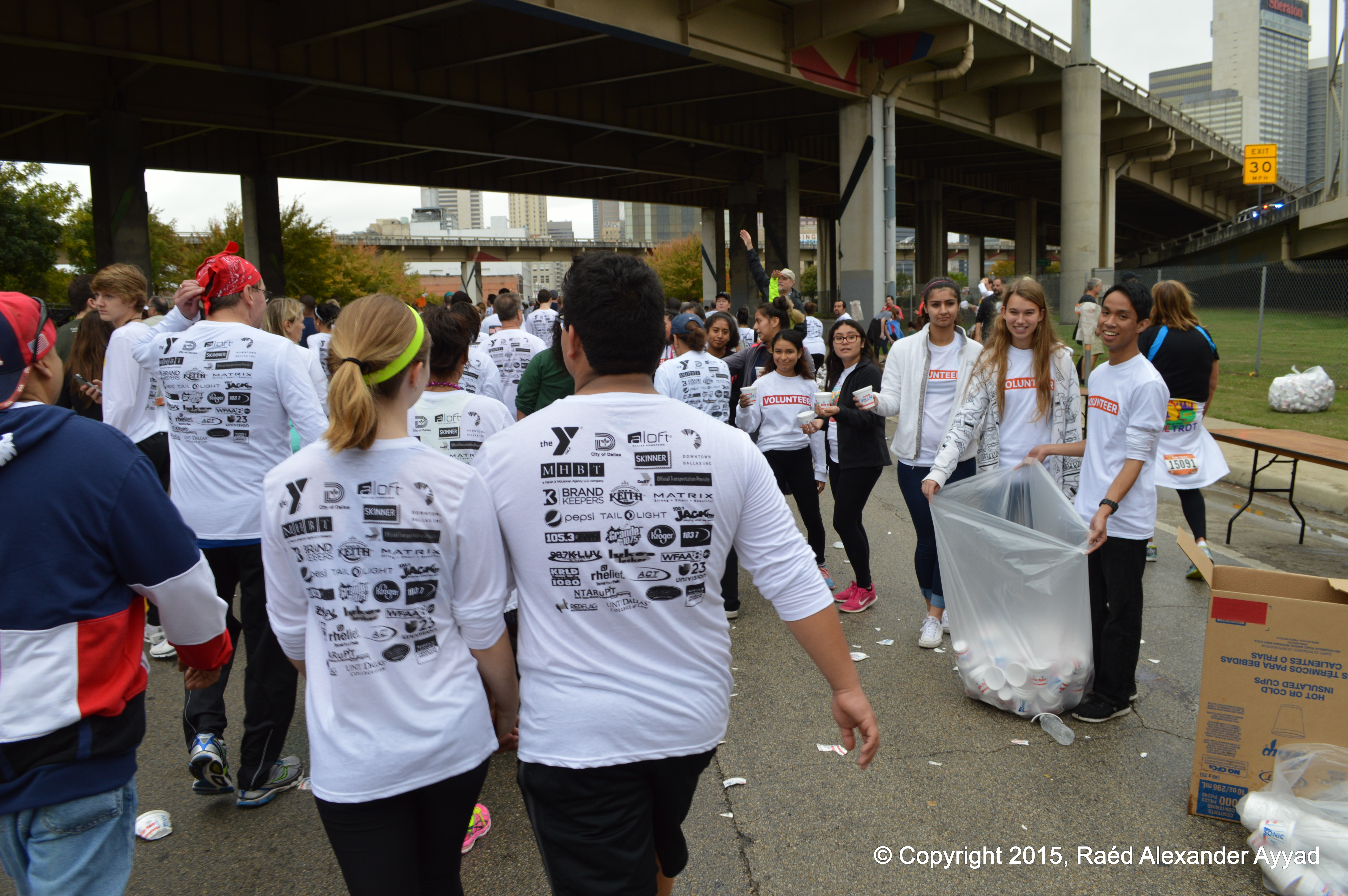
For those of
you who are not familiar with this
event, to quote exurbs from Wikipedia: "the run is produced by the YMCA
since 1968. The Trot is held on Thanksgiving Day and attracts elite
competitors and amateurs from all 50 states in America and 10 countries. The
race includes both runners and wheelchair racers."
I was not
ready to run the event because I am out of shape, having neglected to
exercise for the past couple of months while spending unhealthy amounts of
time sitting at my computers working (I know, my bad!); but, the chance to
walk 5-km (3-mi) was exciting, and possible for me, being that I am a
regular fast long-distance walker (often able to keep-up with most people's
jogging speed)...
... More
importantly, I decided that it is a wonderful chance for me to take photos from
within the race/walk to share them with you here on The TPA's website
(below), and promote the event at the same time.
One problem
arose when I arrived at home late the night before the race, and I was not
able to get myself to fall asleep until it was past 0300h (CST) the morning
of the race, and I had to be up at 0600 to get ready and meet-up with
another participator, for we were going to carpool... that was less than
three hours of sleep!
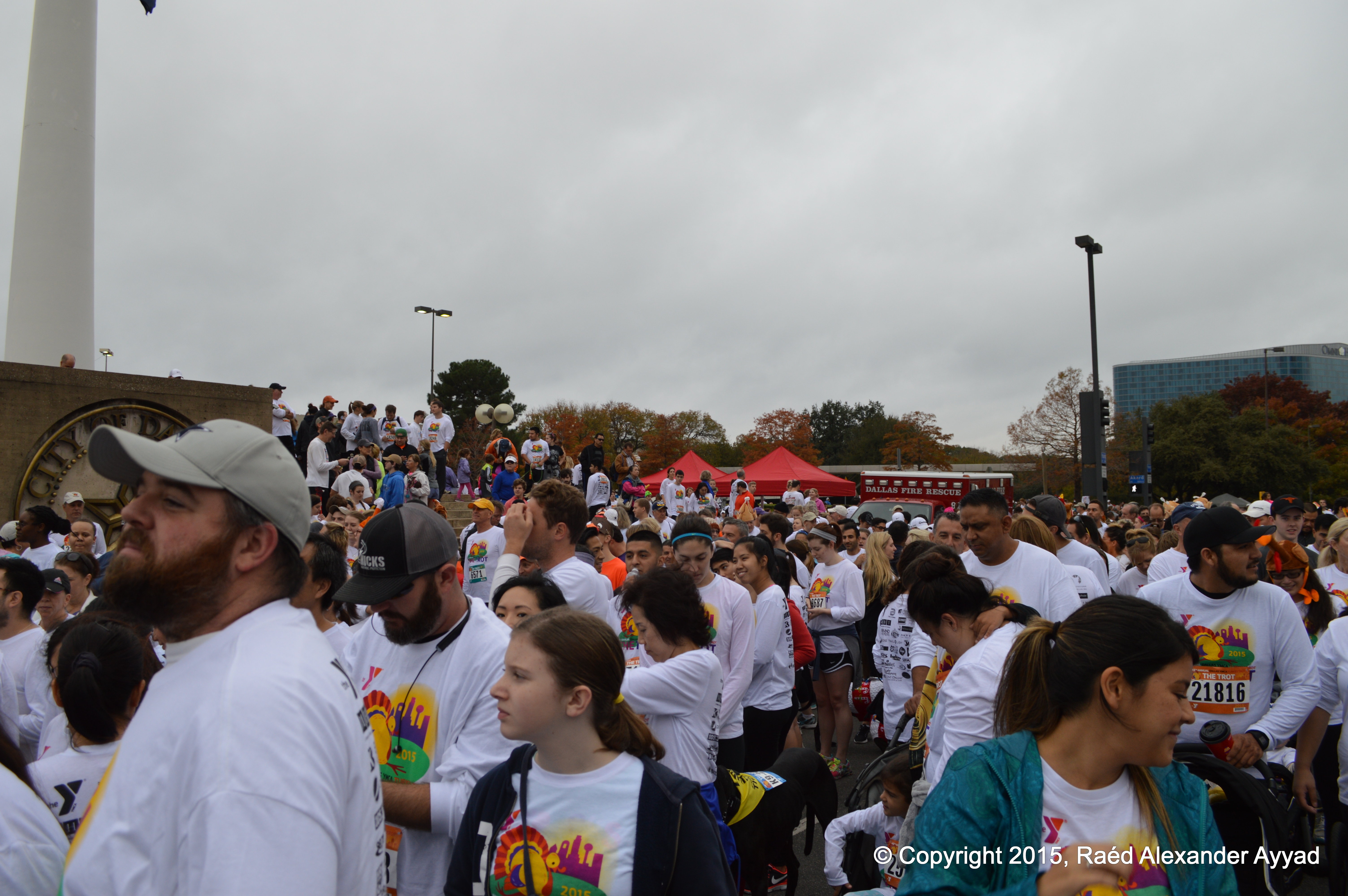
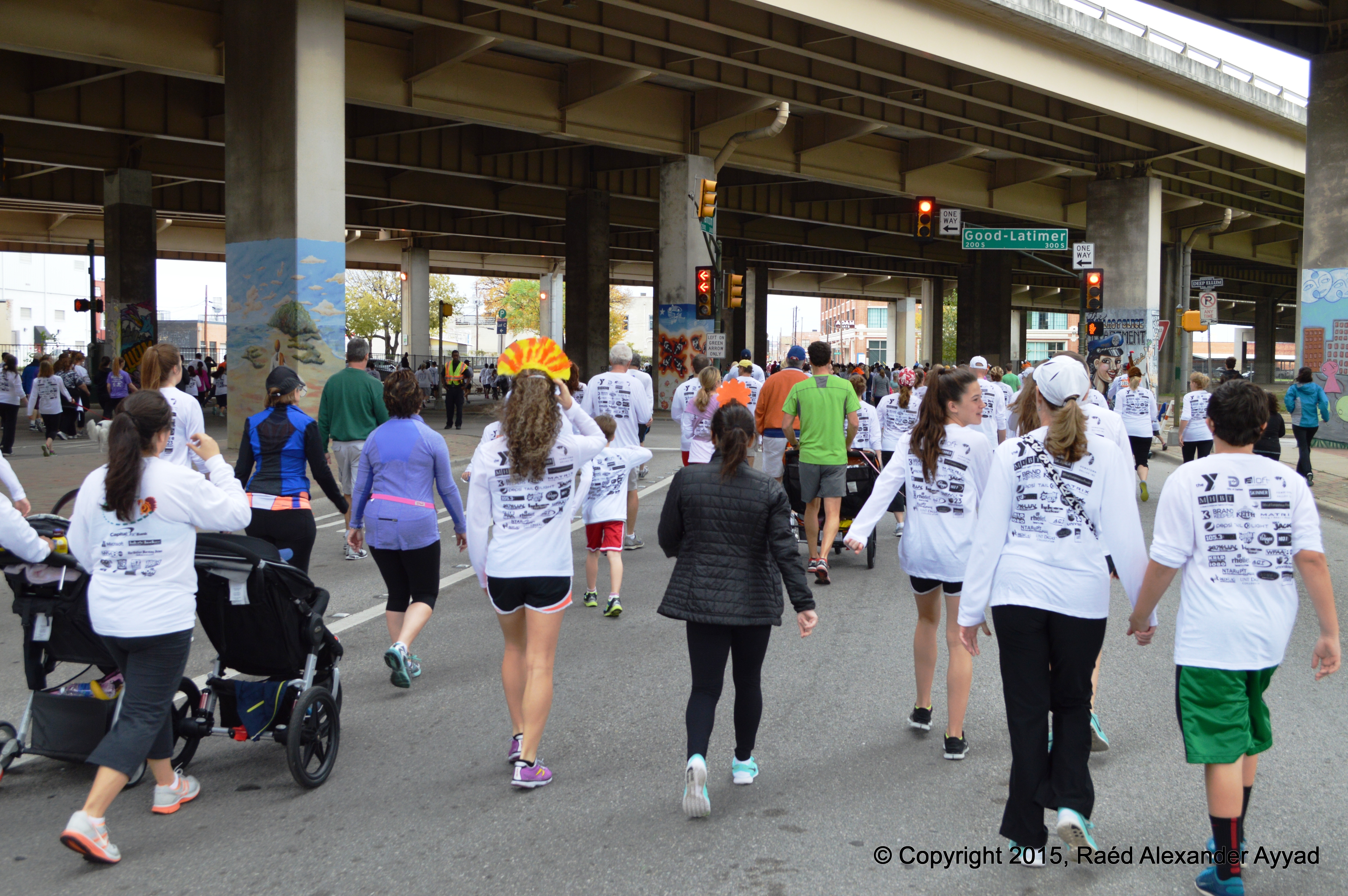
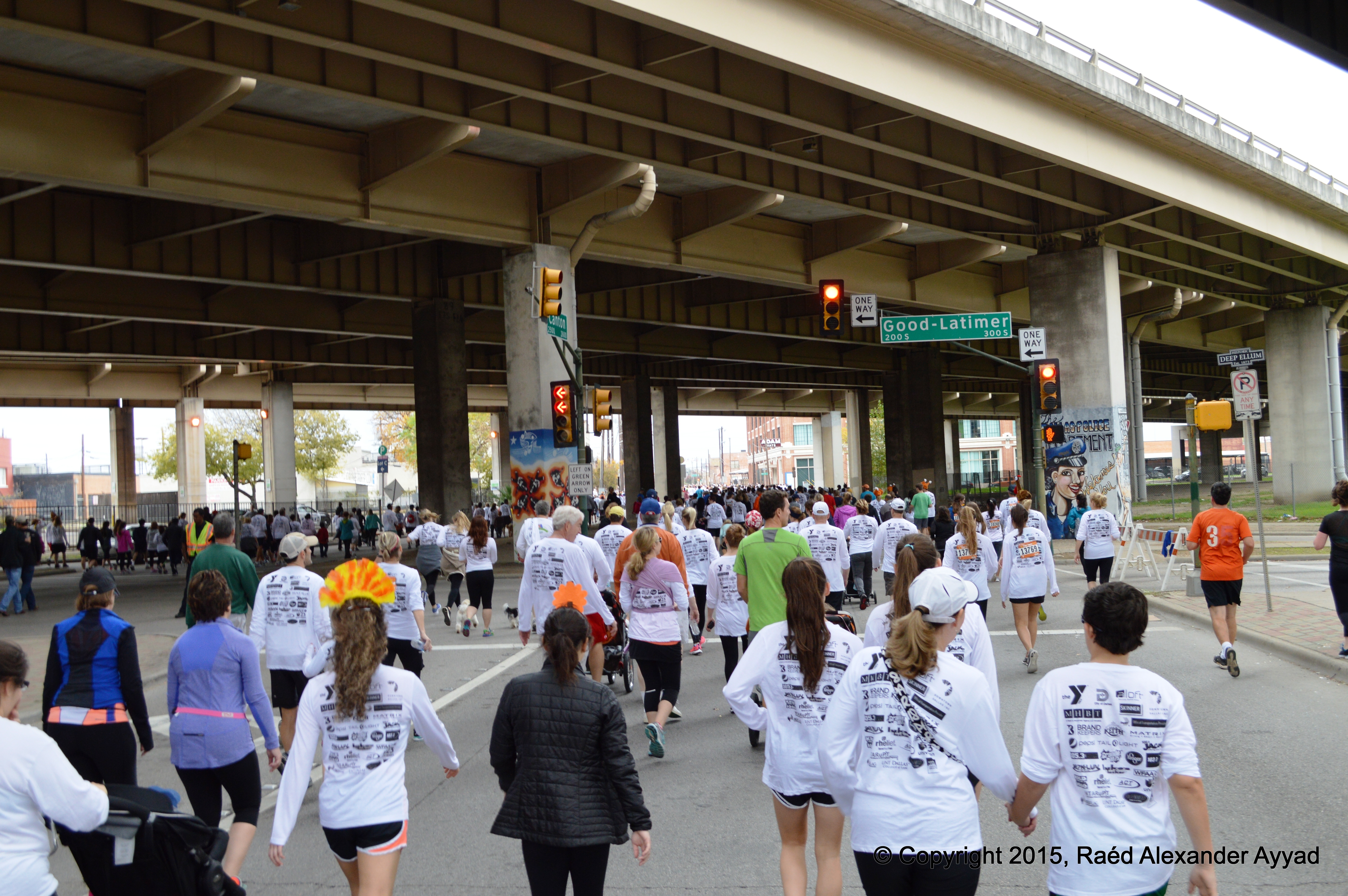
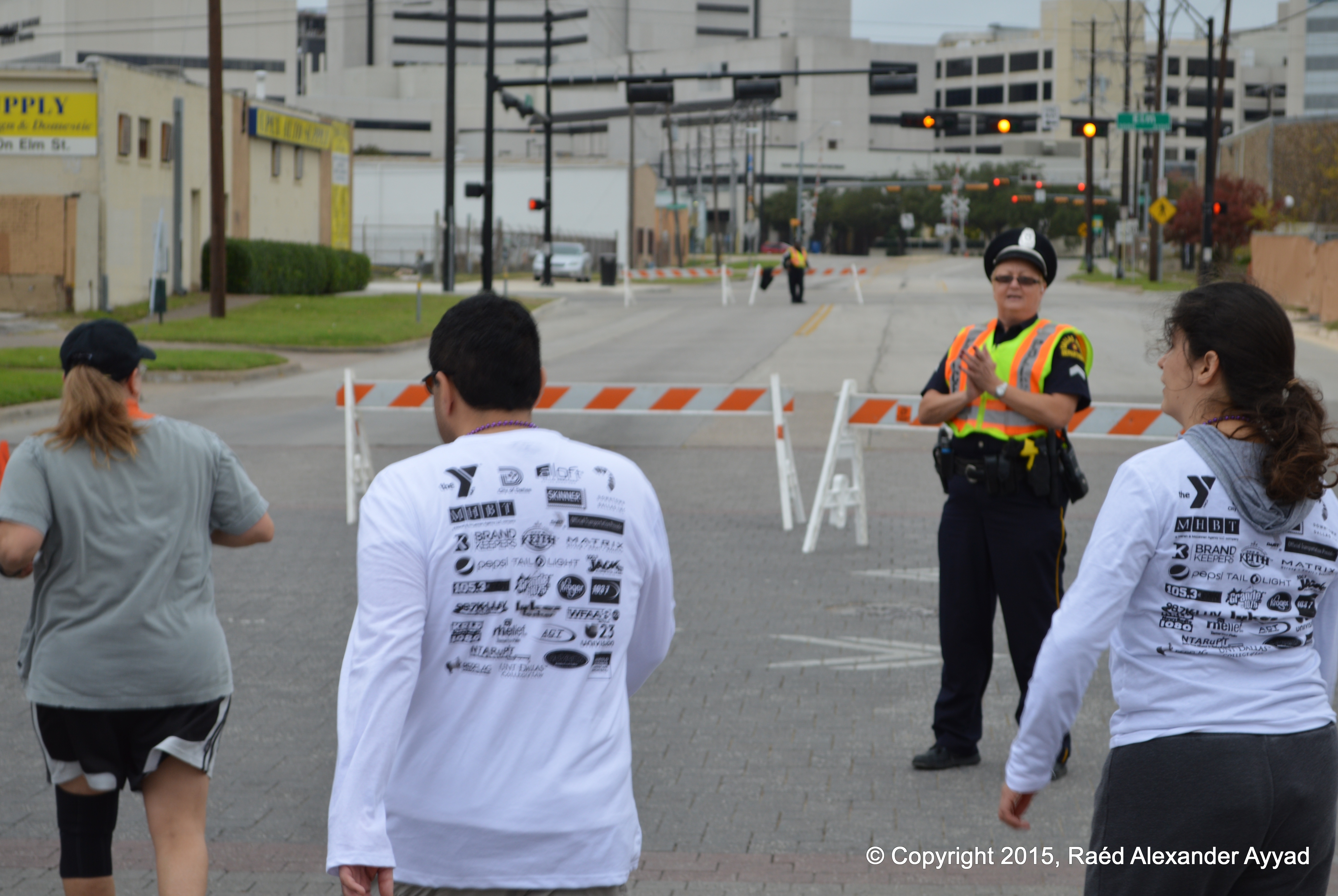
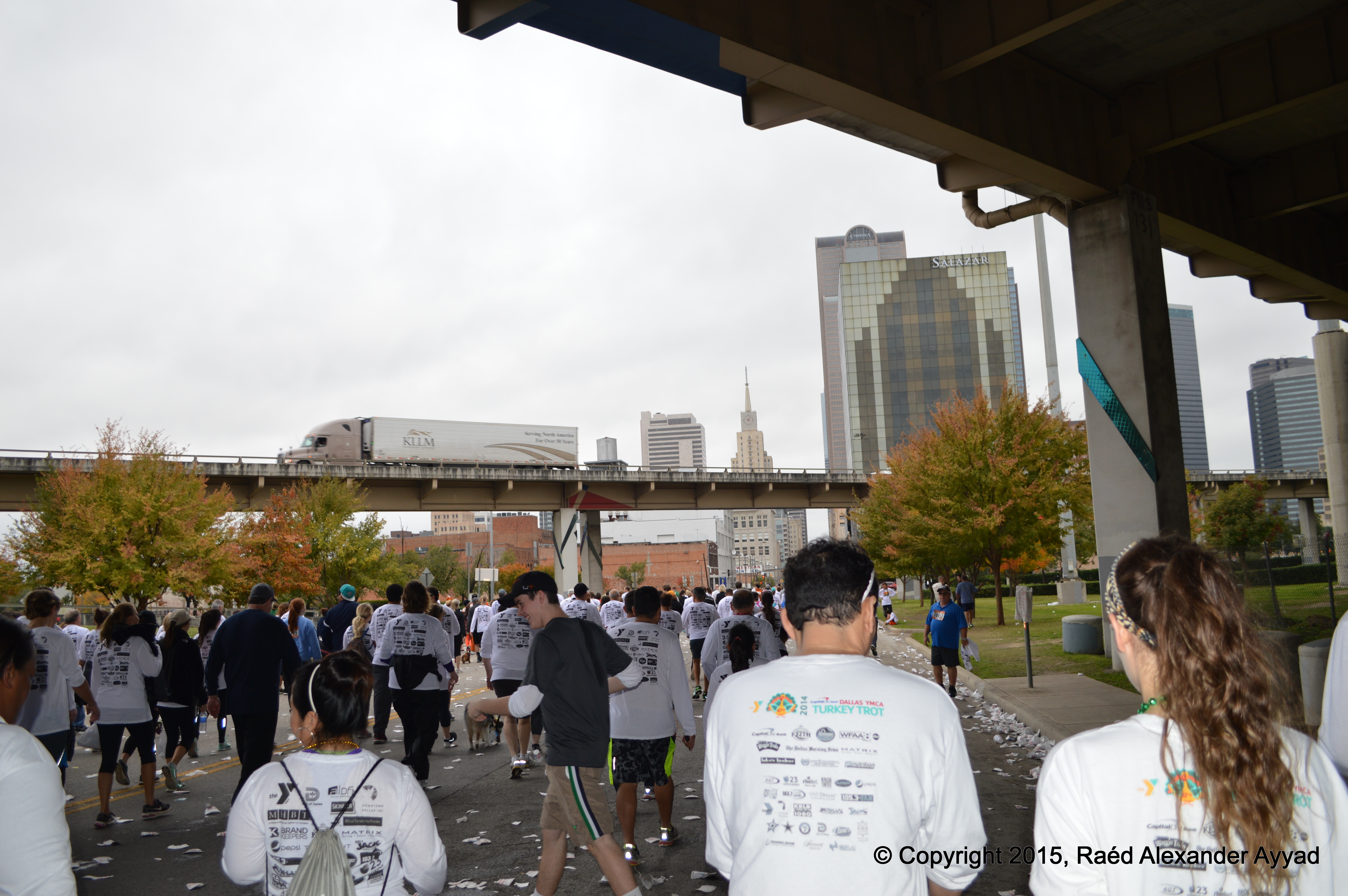
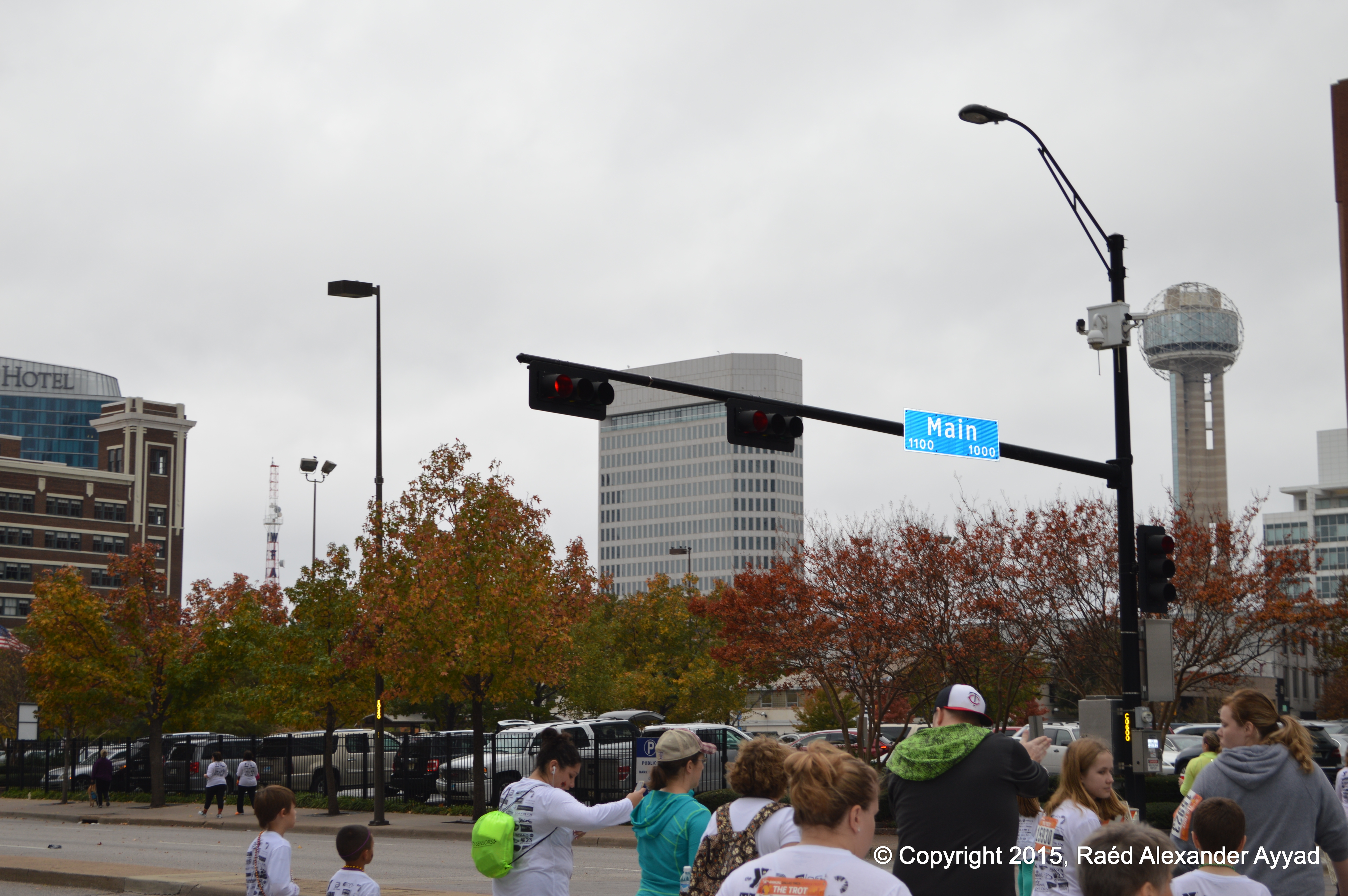
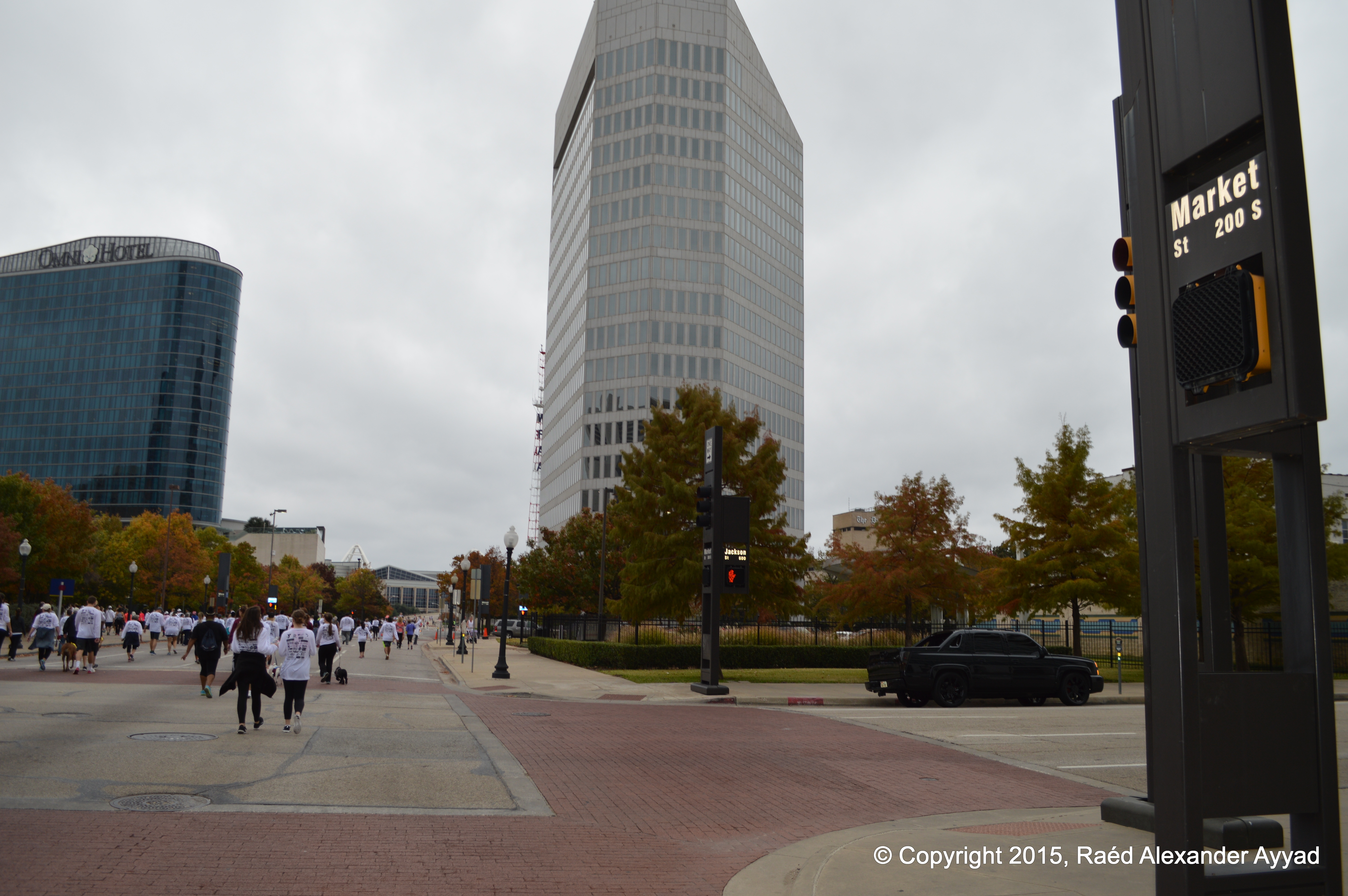
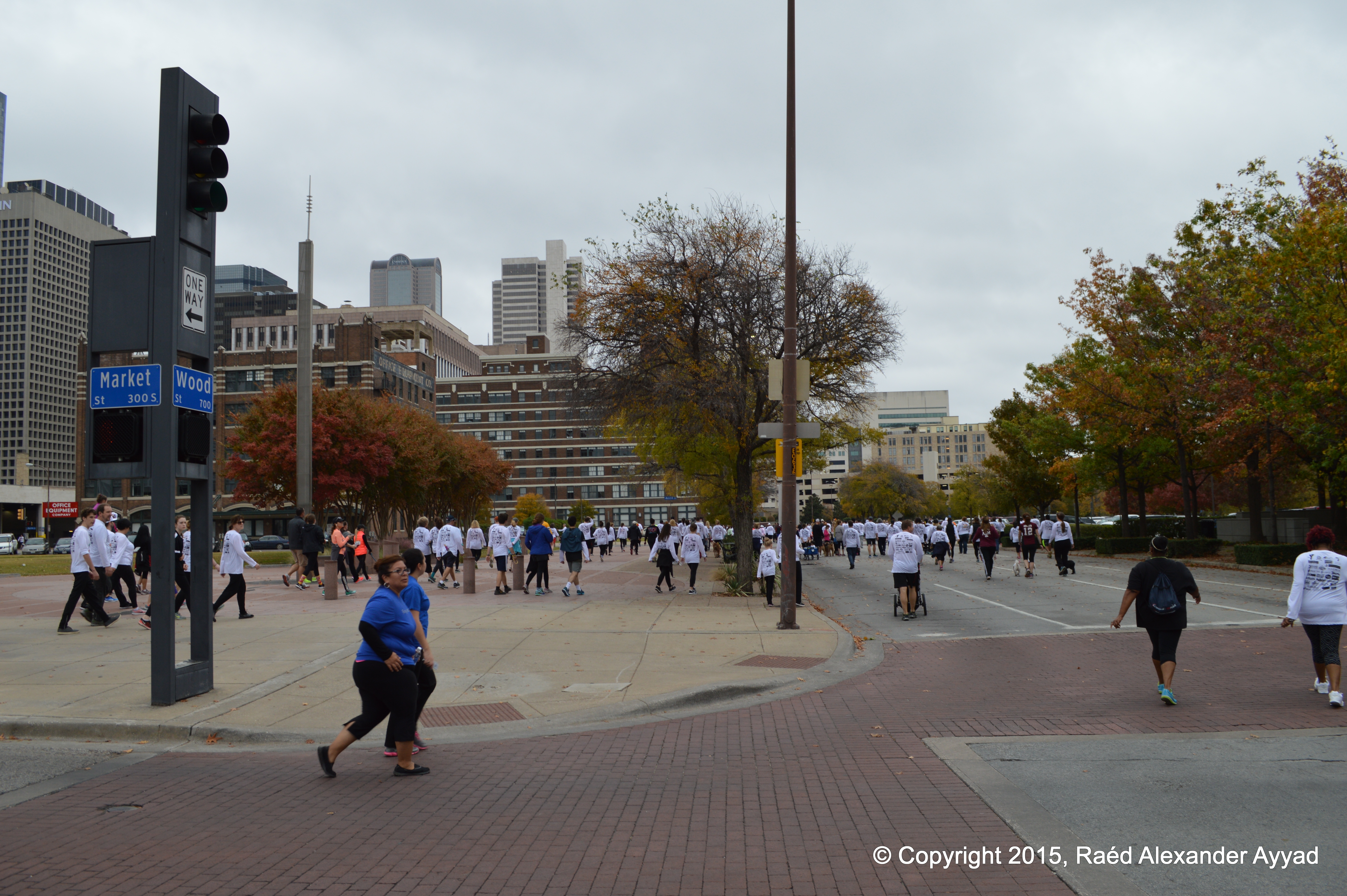
Once
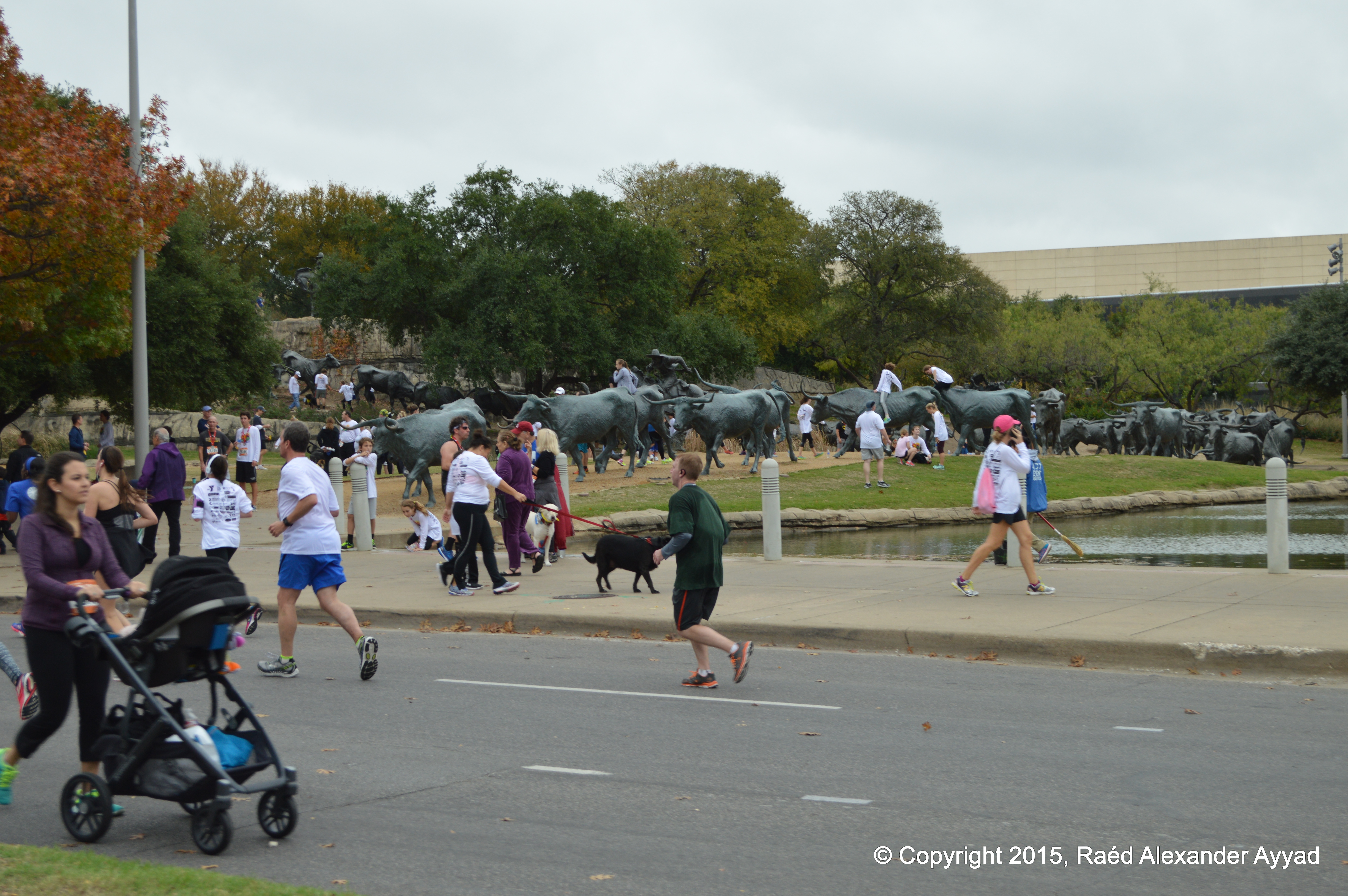
I awoke, showered, and groomed myself, I was recharged like dynamite and
ready to go! I prepared my camera gear bag, and headed out. Thanksgiving morning
was an overcast one, and we were anticipating thunderstorms to roll-in, but
later in the afternoon. The temperature was a cool 65?F, but refreshingly
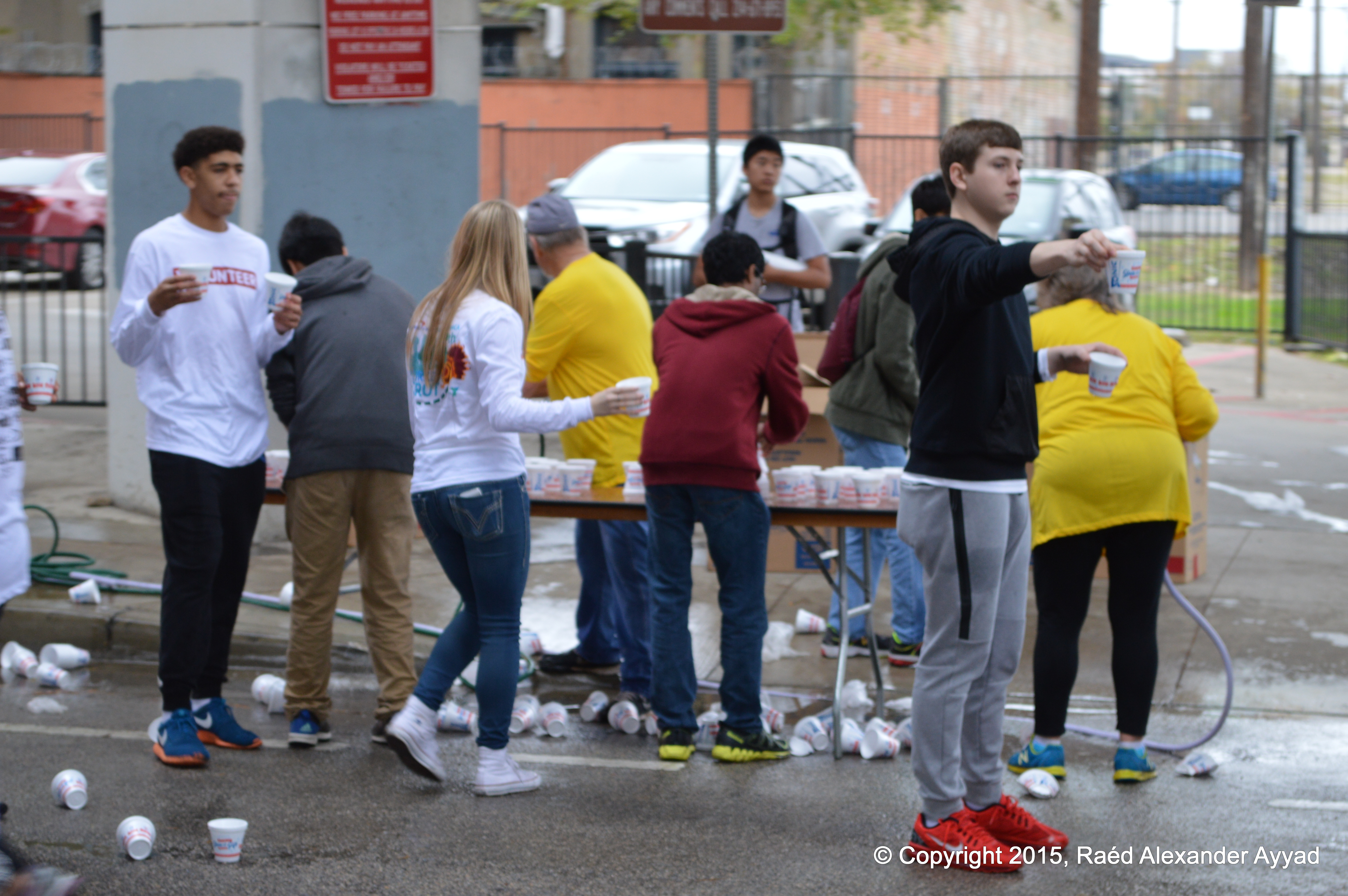
pleasant -especially for an event like this! Registration started at 0700,
and the race was supposed to start at 0900.
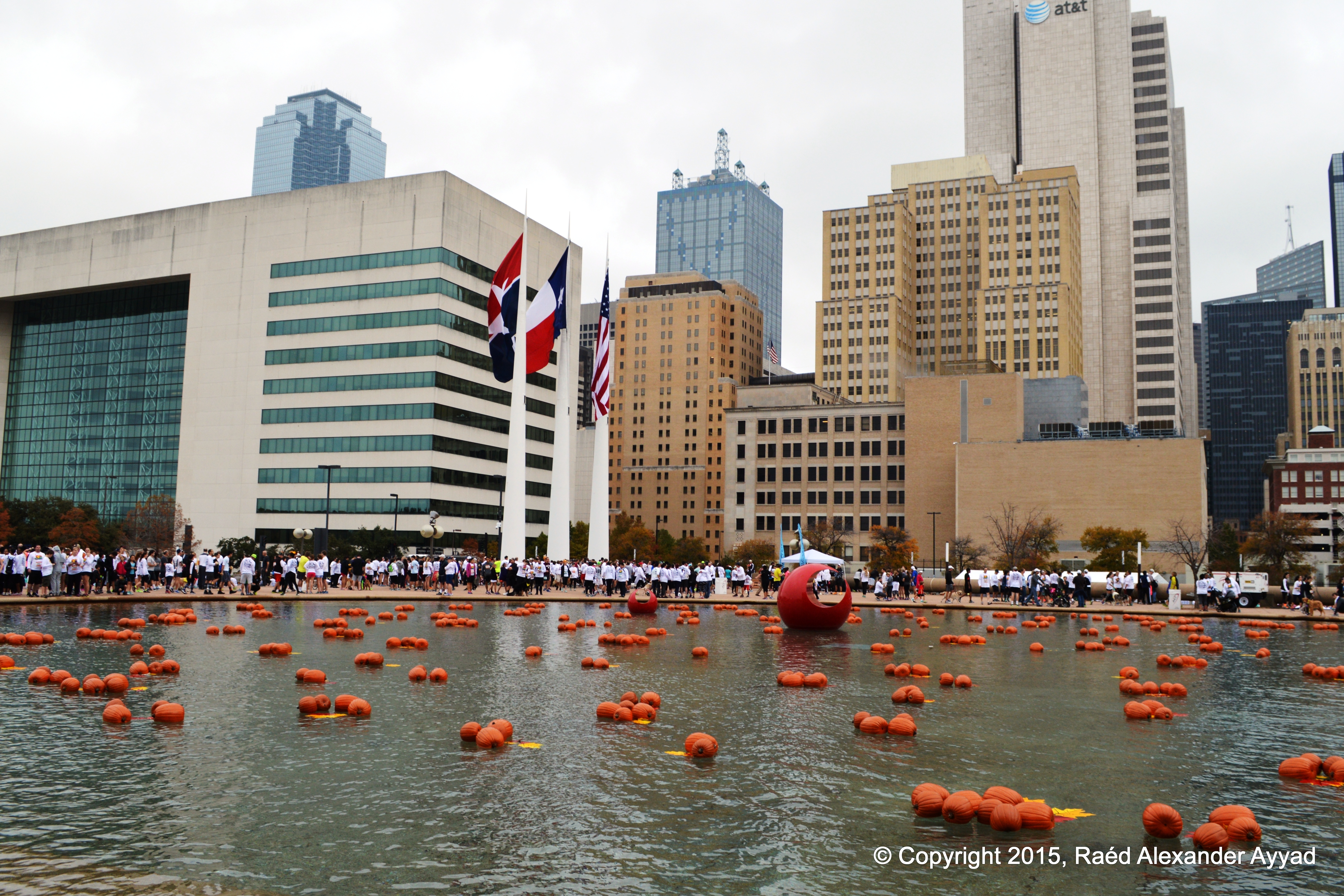
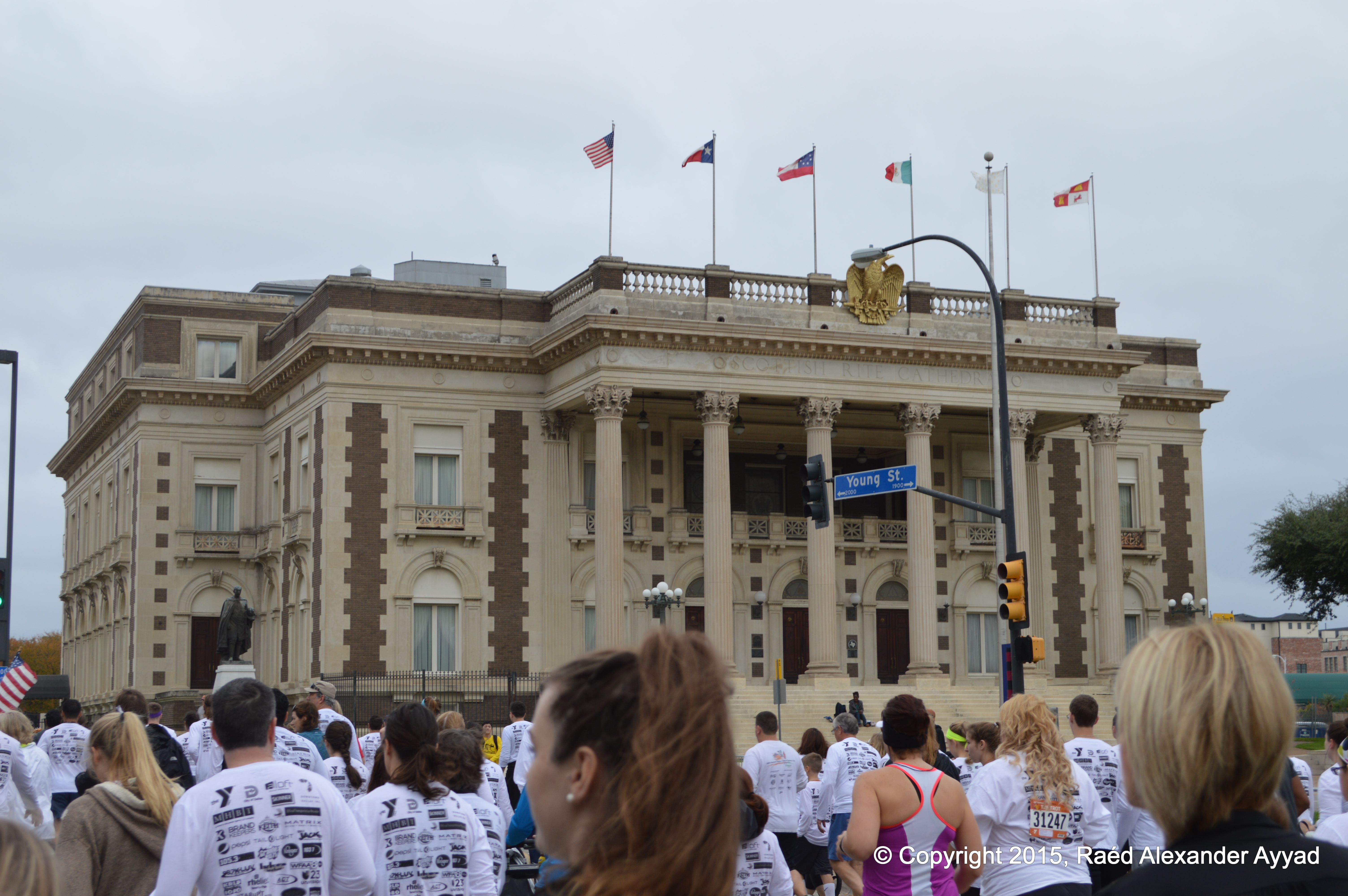
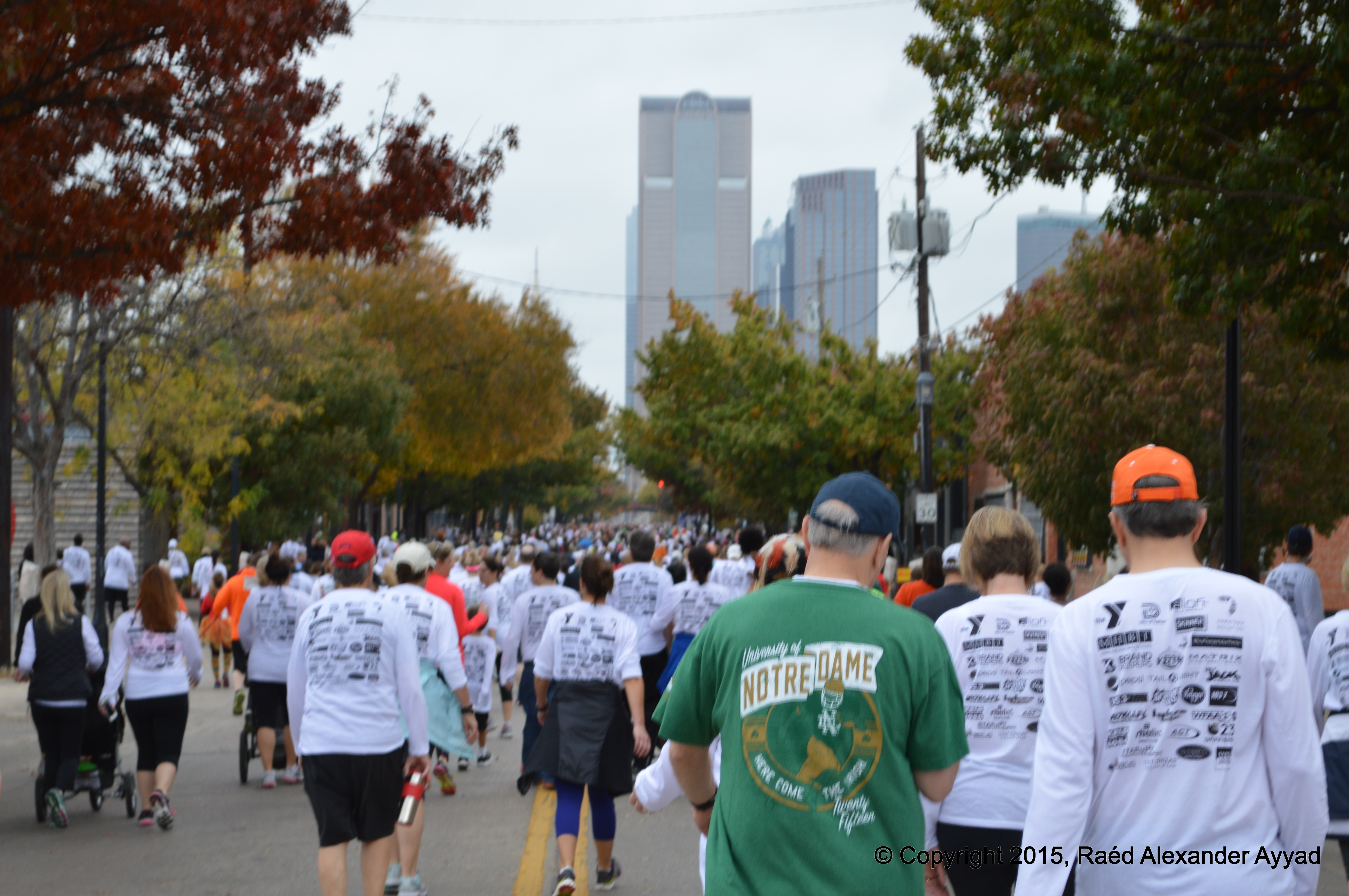
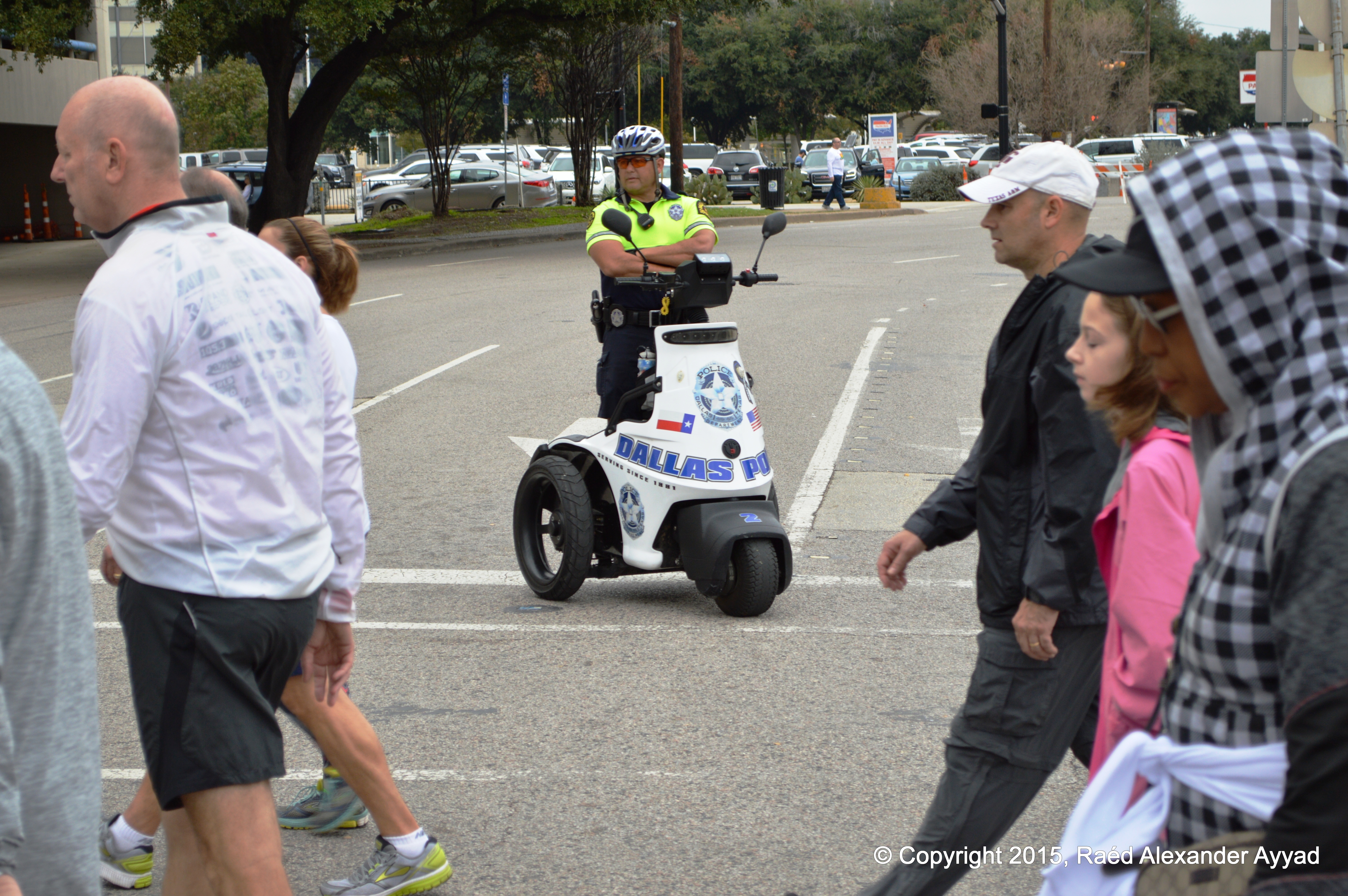
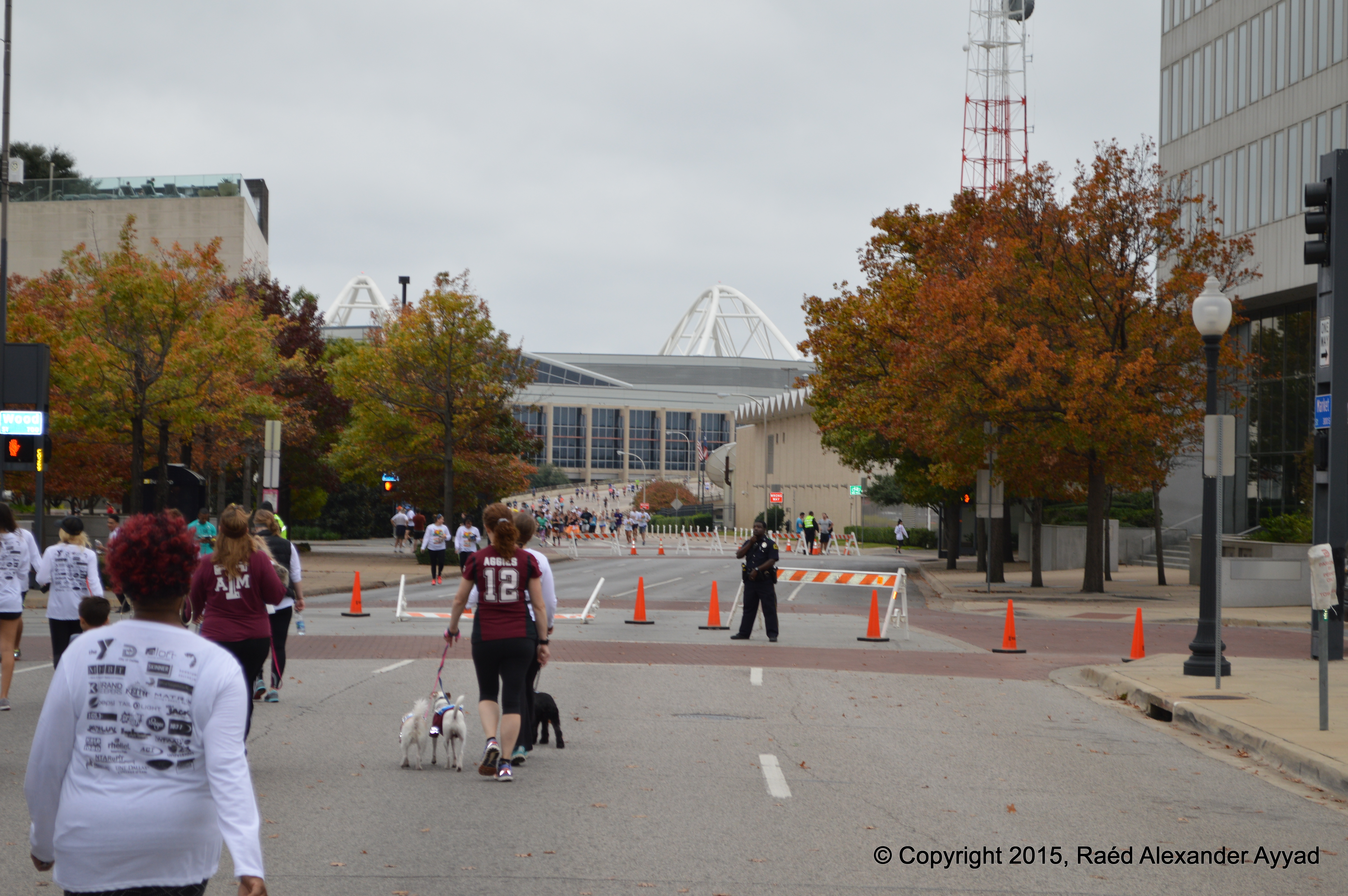
As the
crowds of people amassed behind the starting line, and just around 0900, it
started to lightly drizzle, but fortunately the skies decided to hold-off
raining until it was 1300! What good luck!
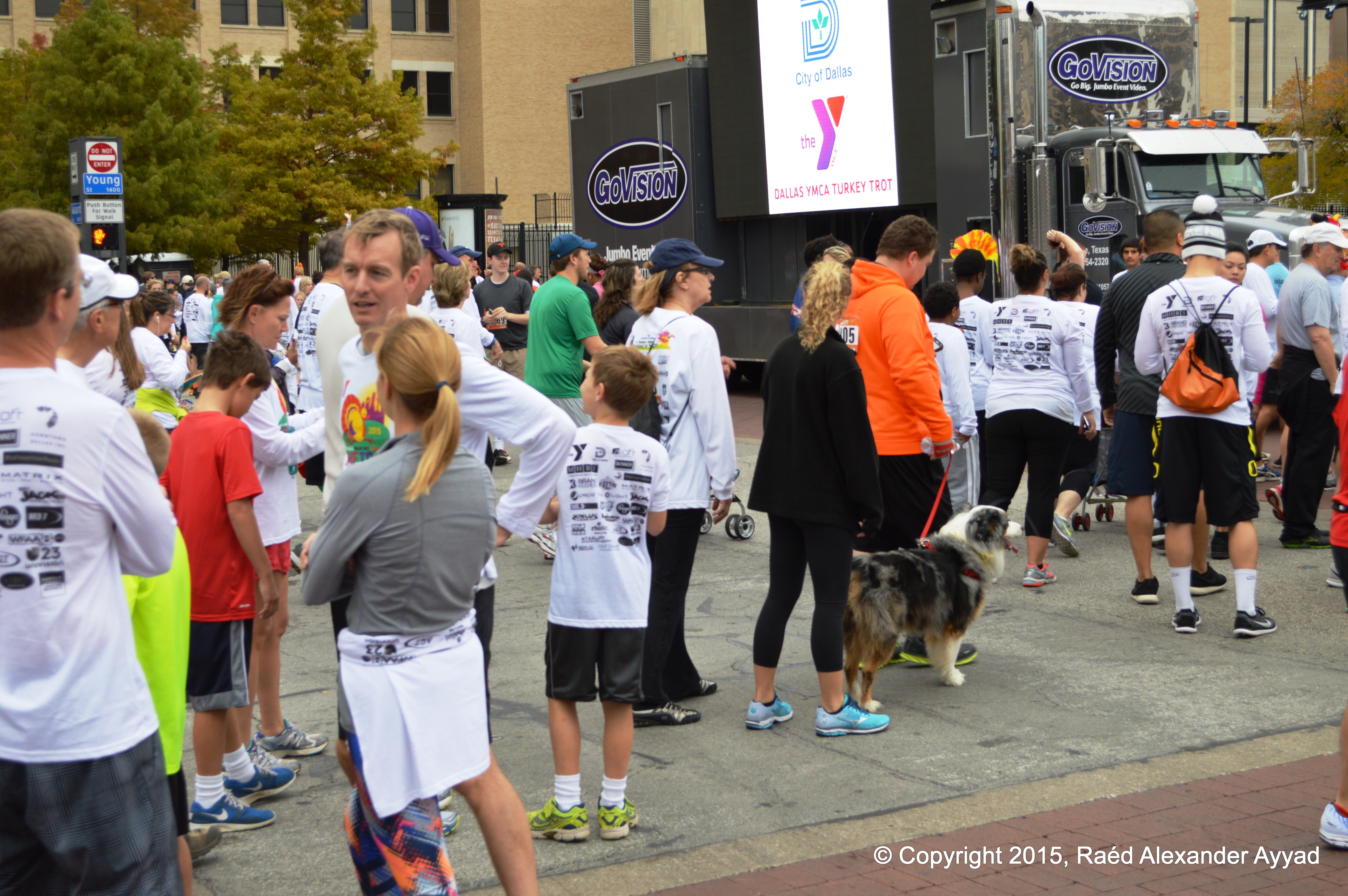
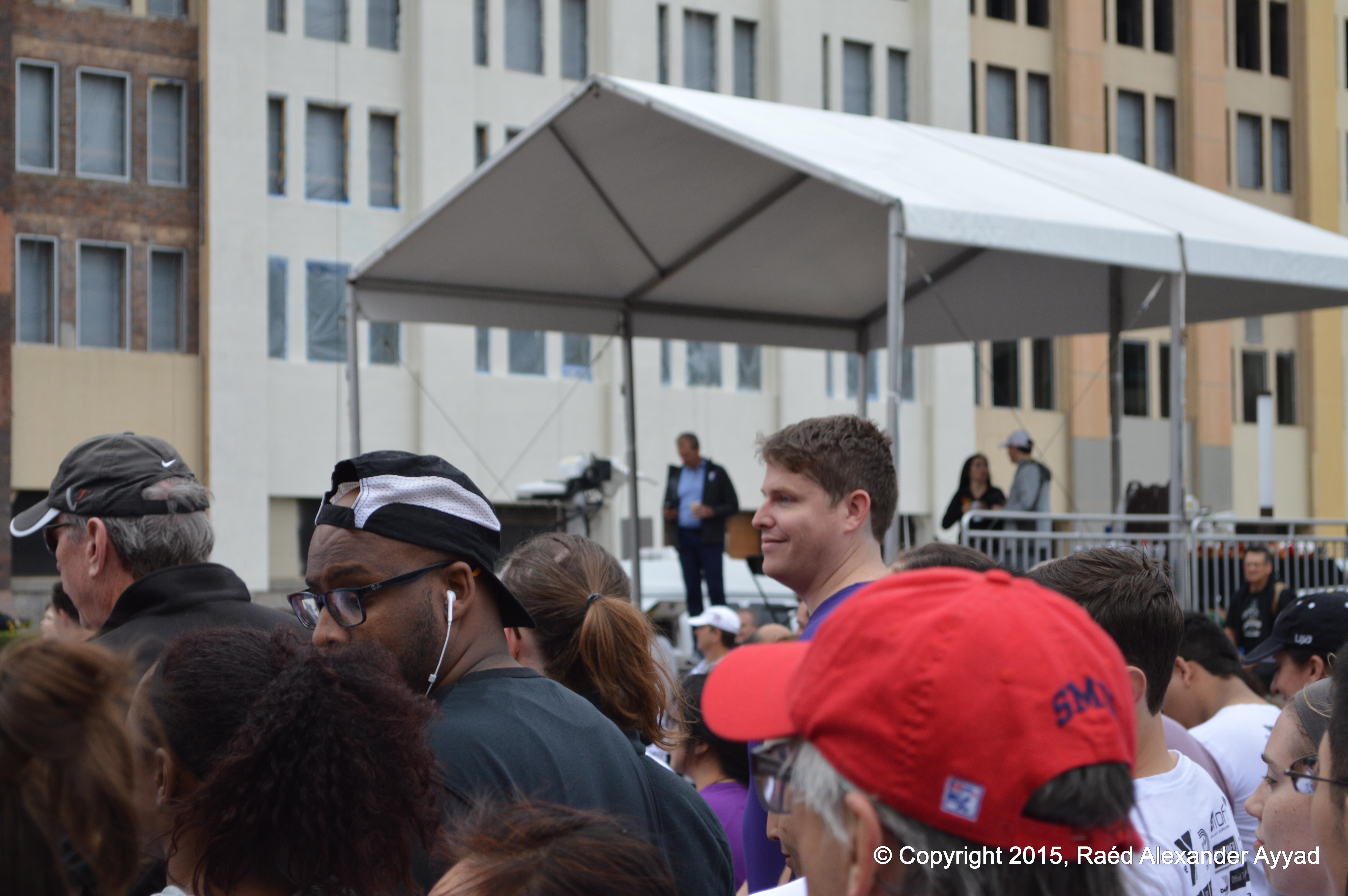
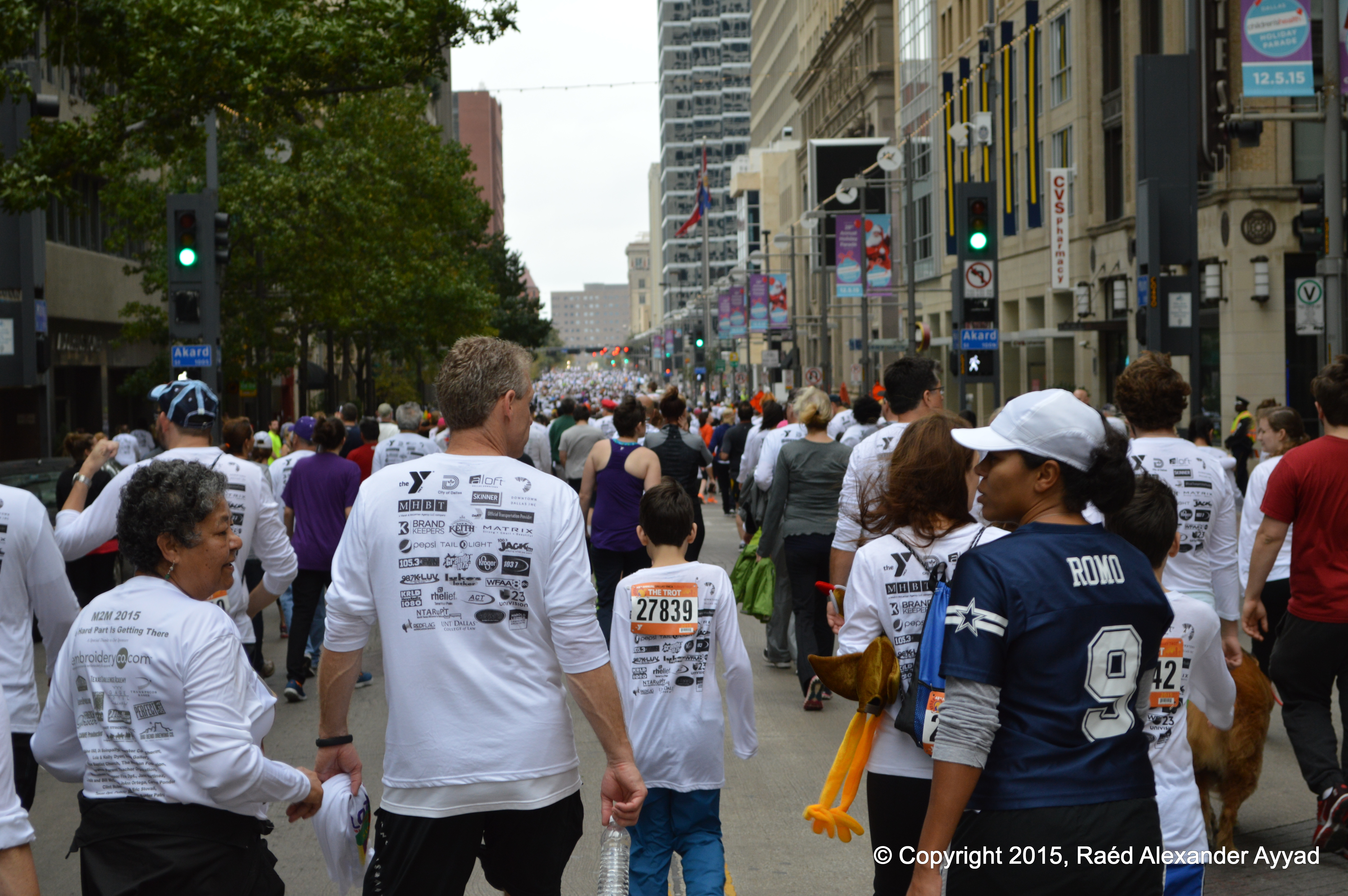
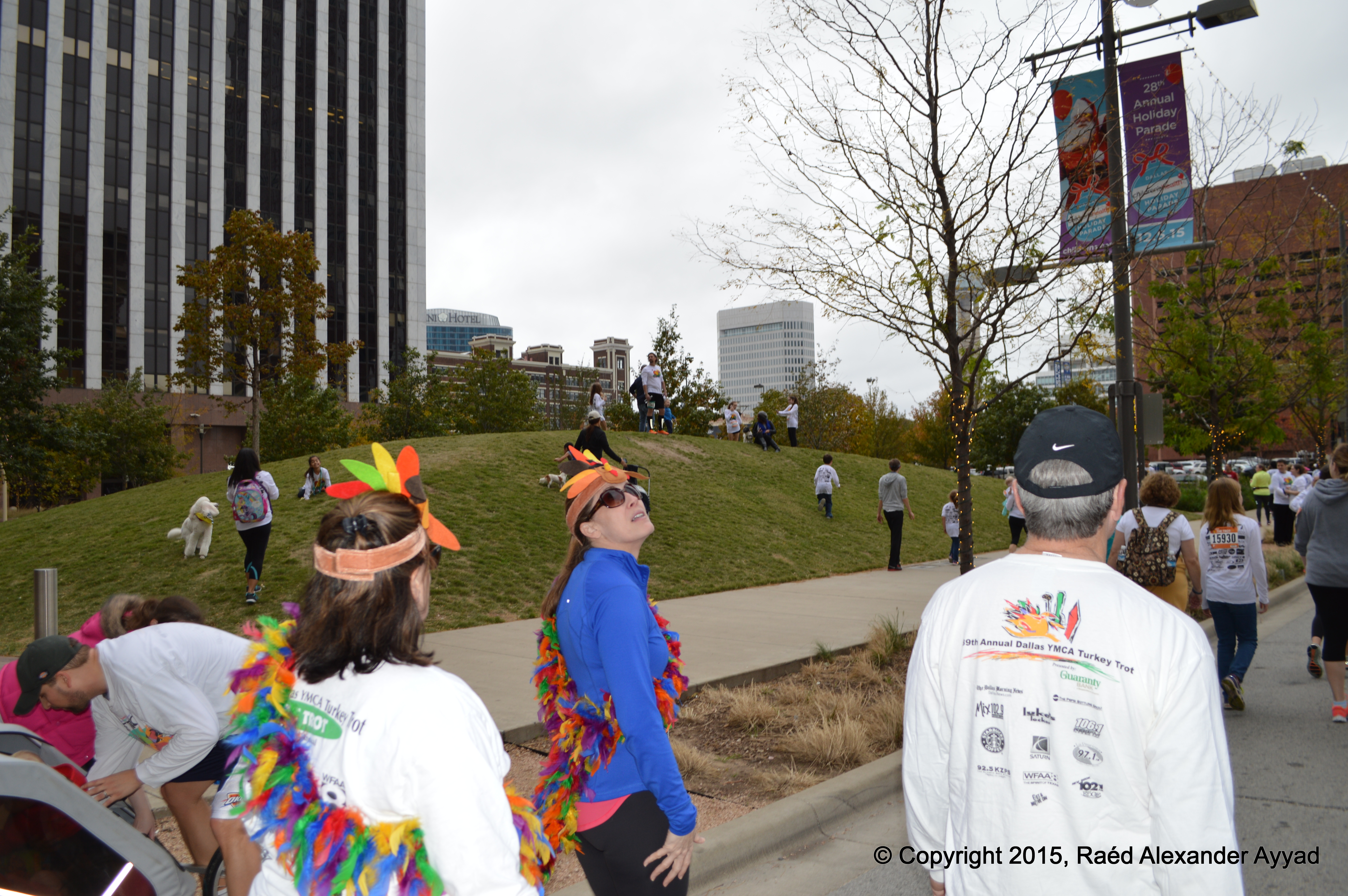
The
announcer on the PA system asked people to acknowledge him when he named
(their) different cities and towns in Texas, universities, and other states
around the nation [while we waited for the "Go" call, which was delayed till
near 0930], and people waved their arms and cheered as they heard the names
of their alma-maters, cities, towns, and states being called out! The
atmosphere was awesomely friendly and positive... that was no surprise to
me.
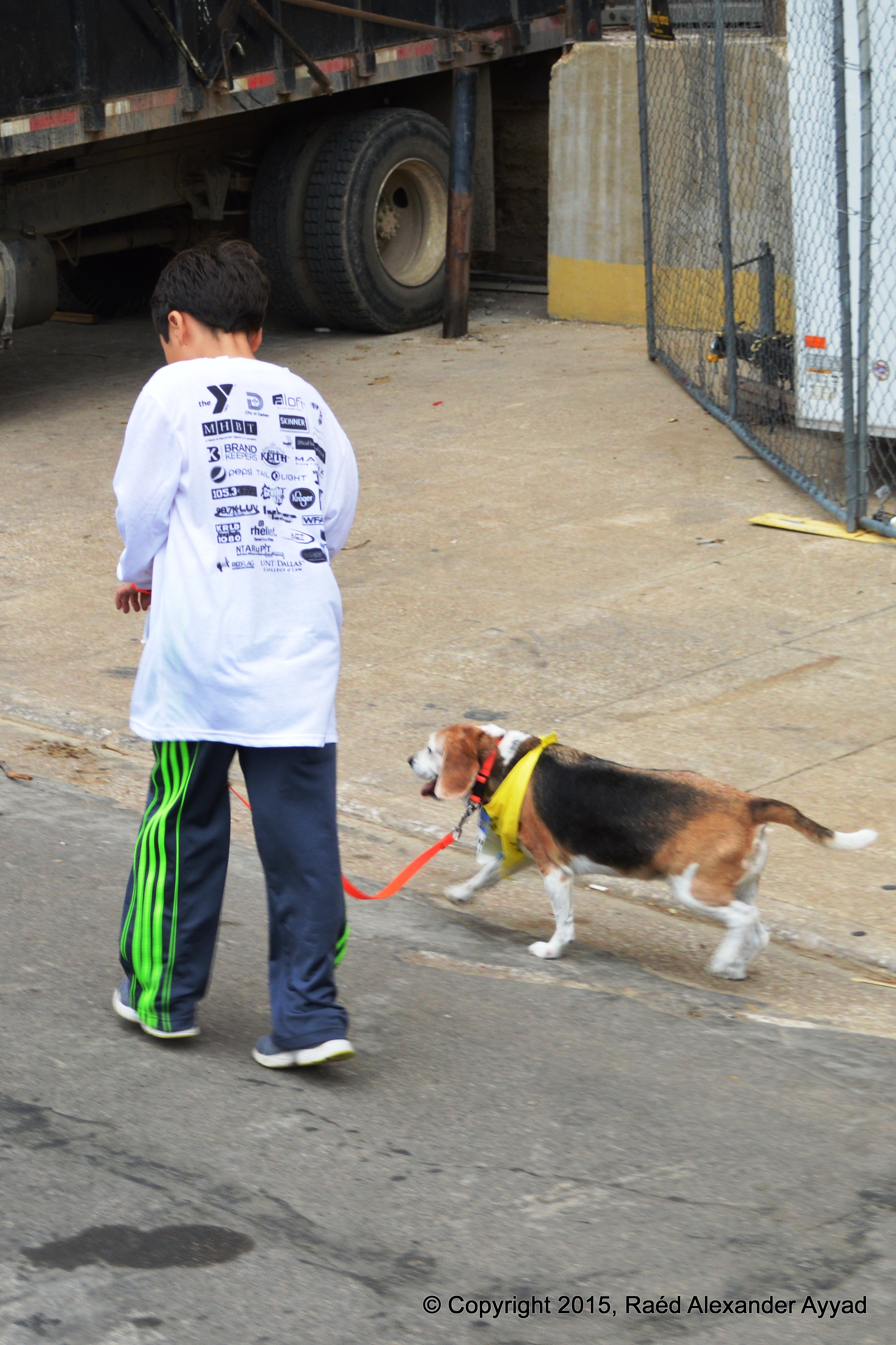
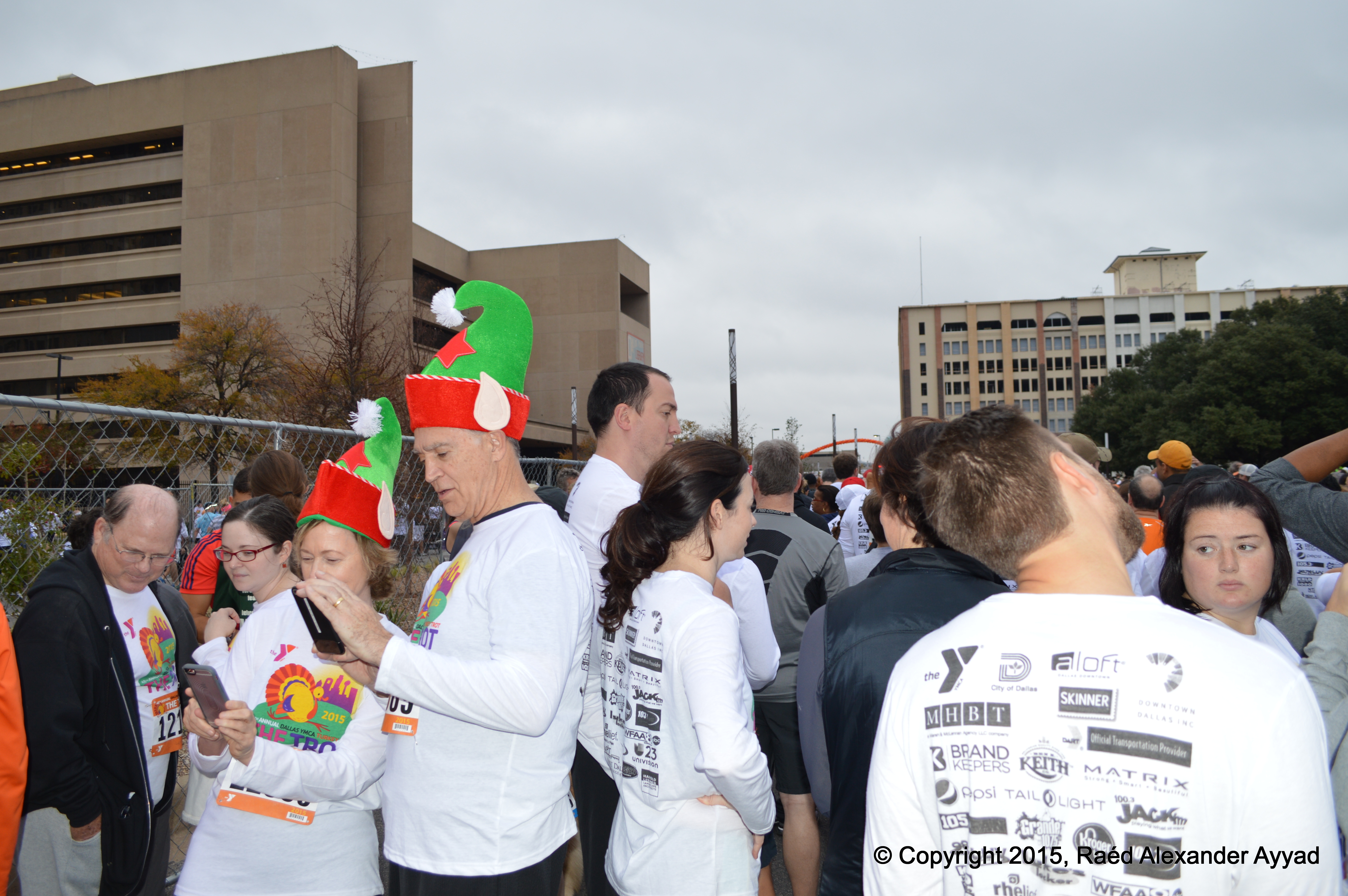
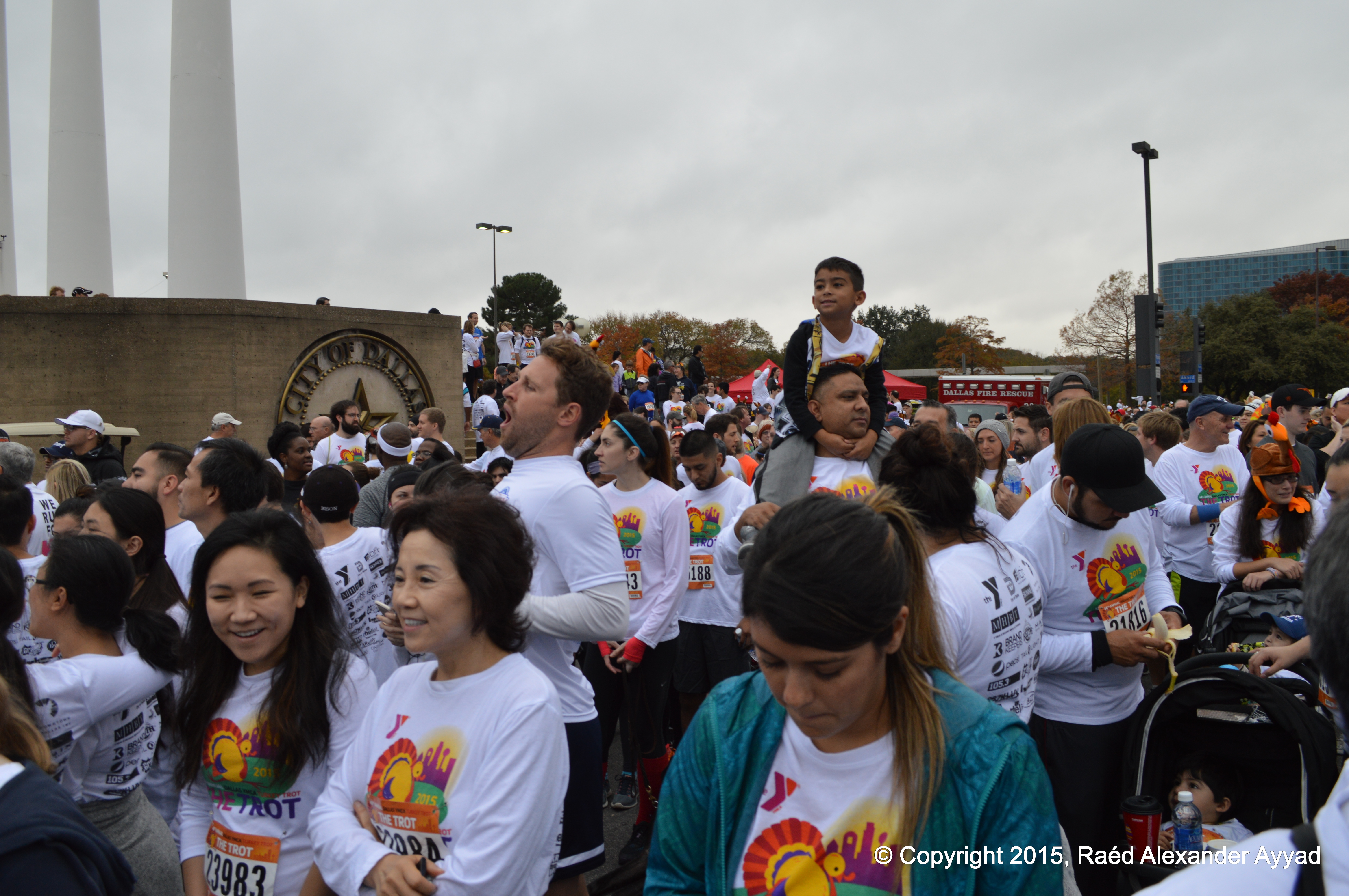
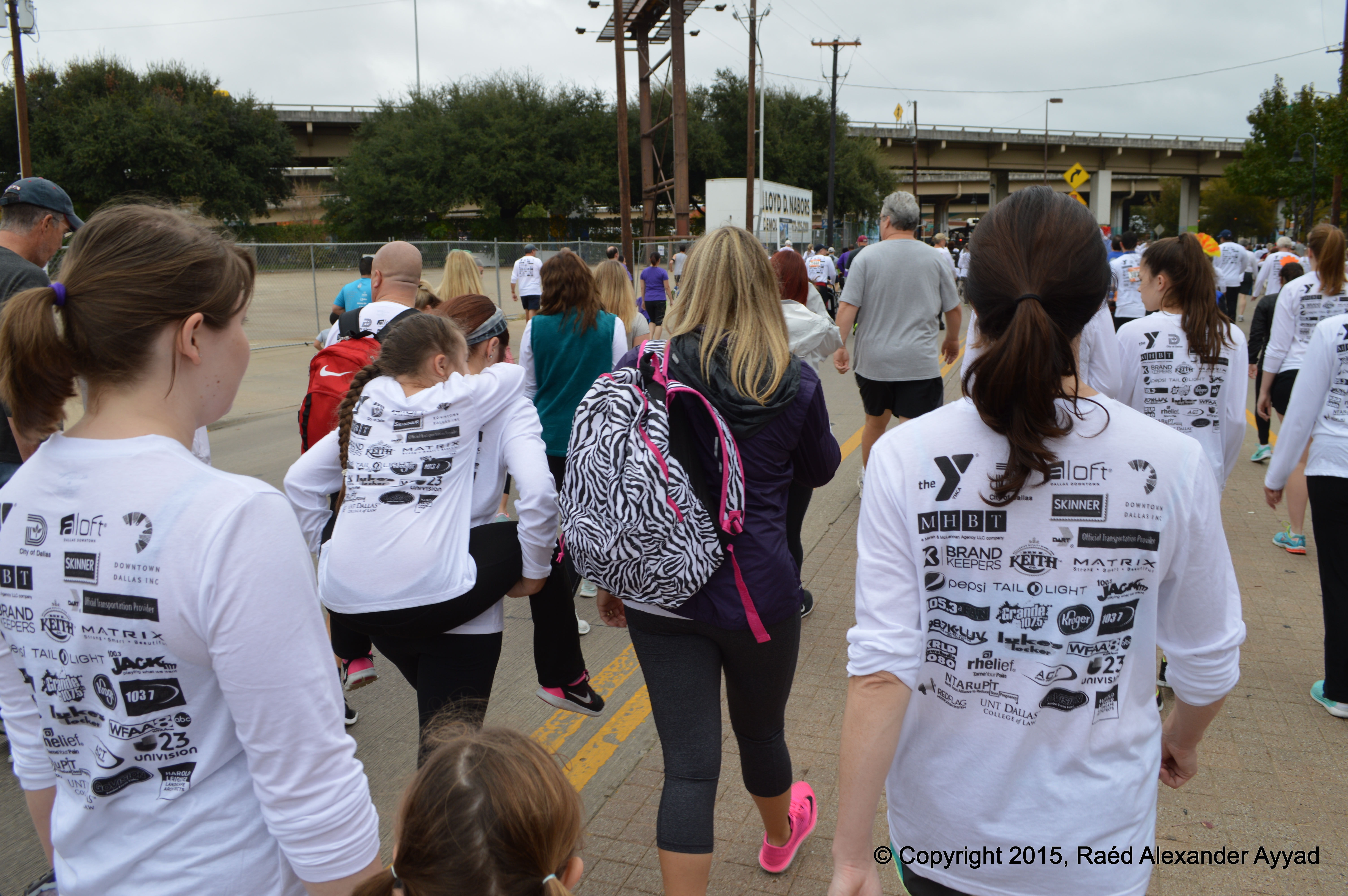
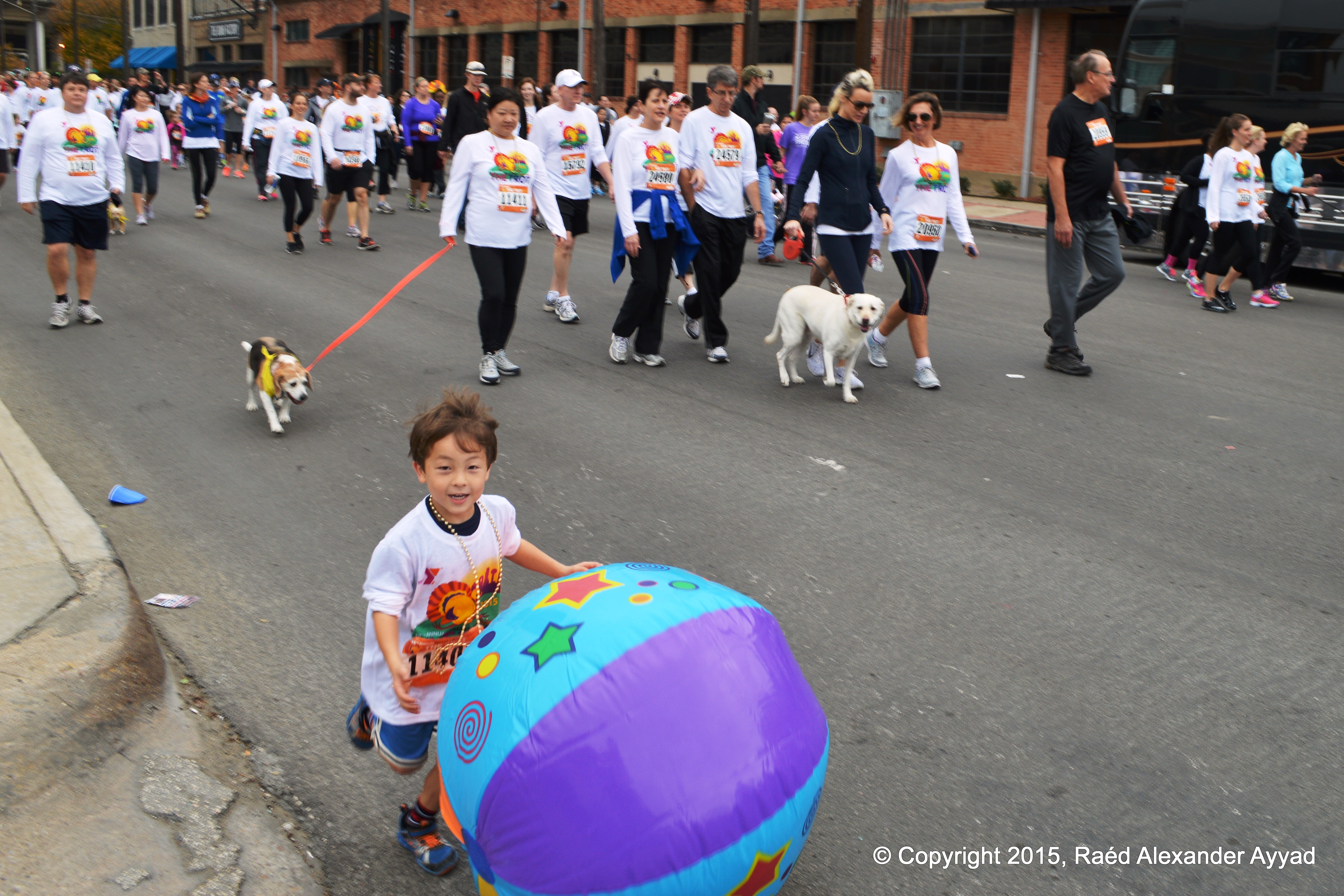
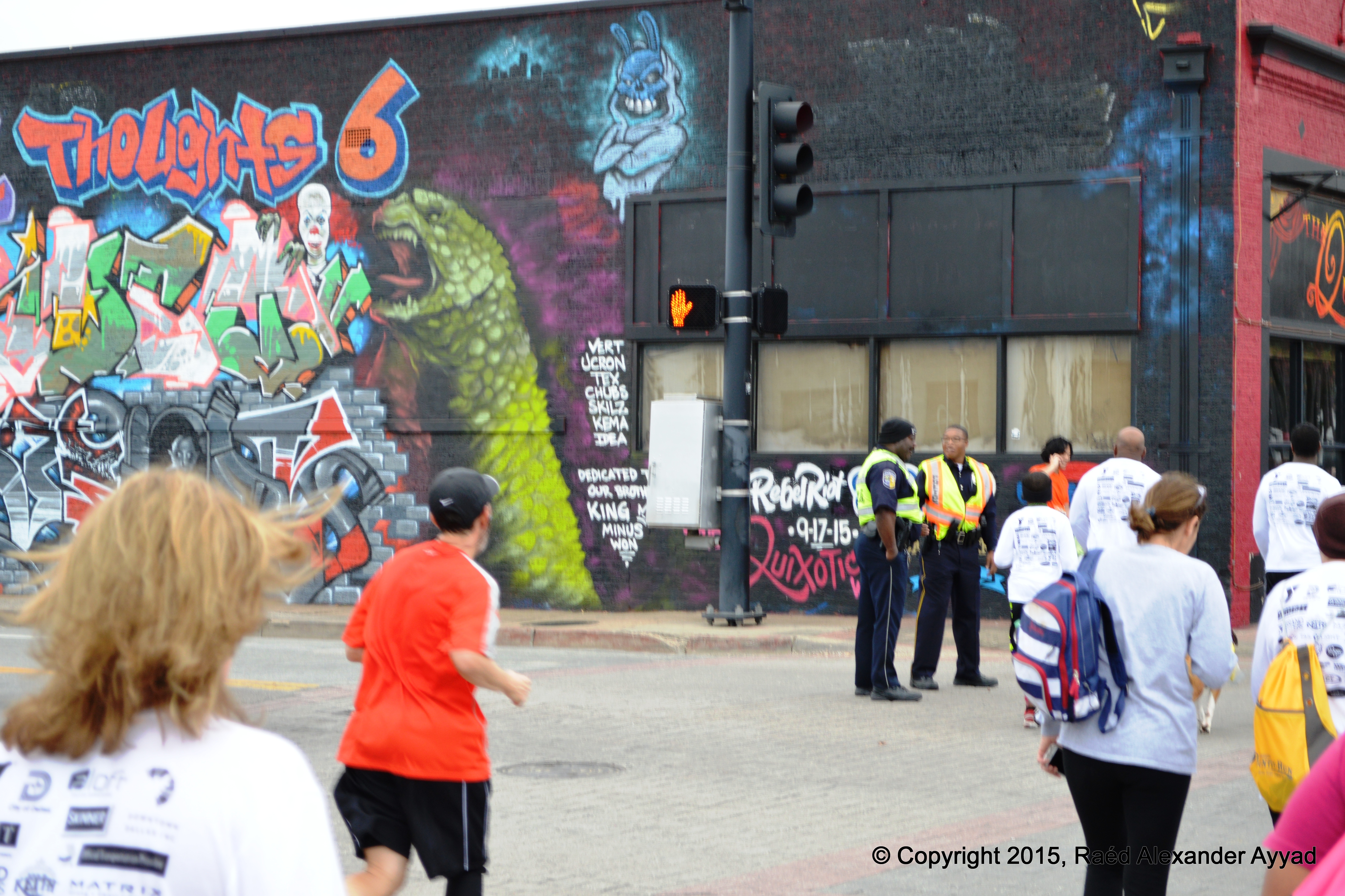
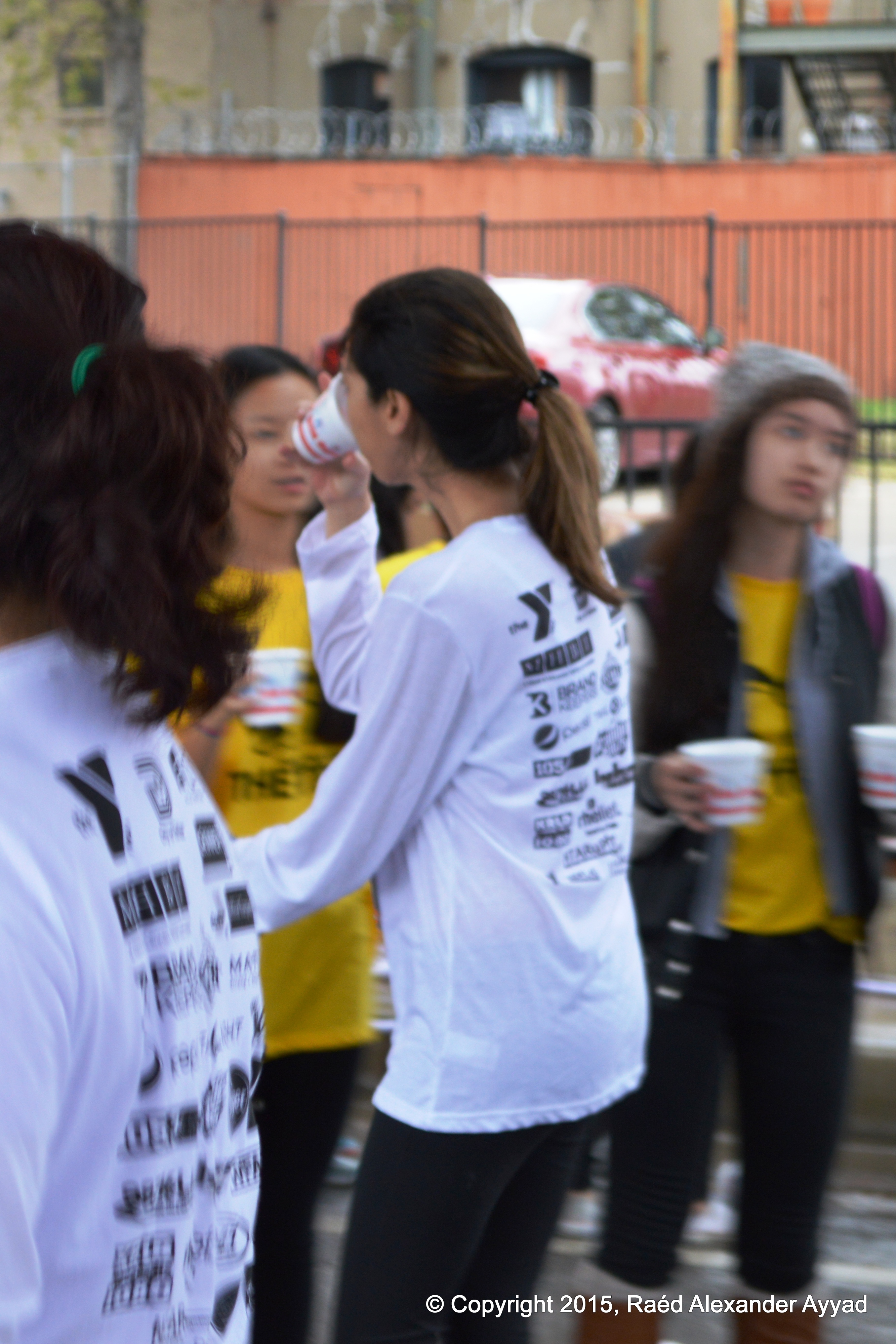
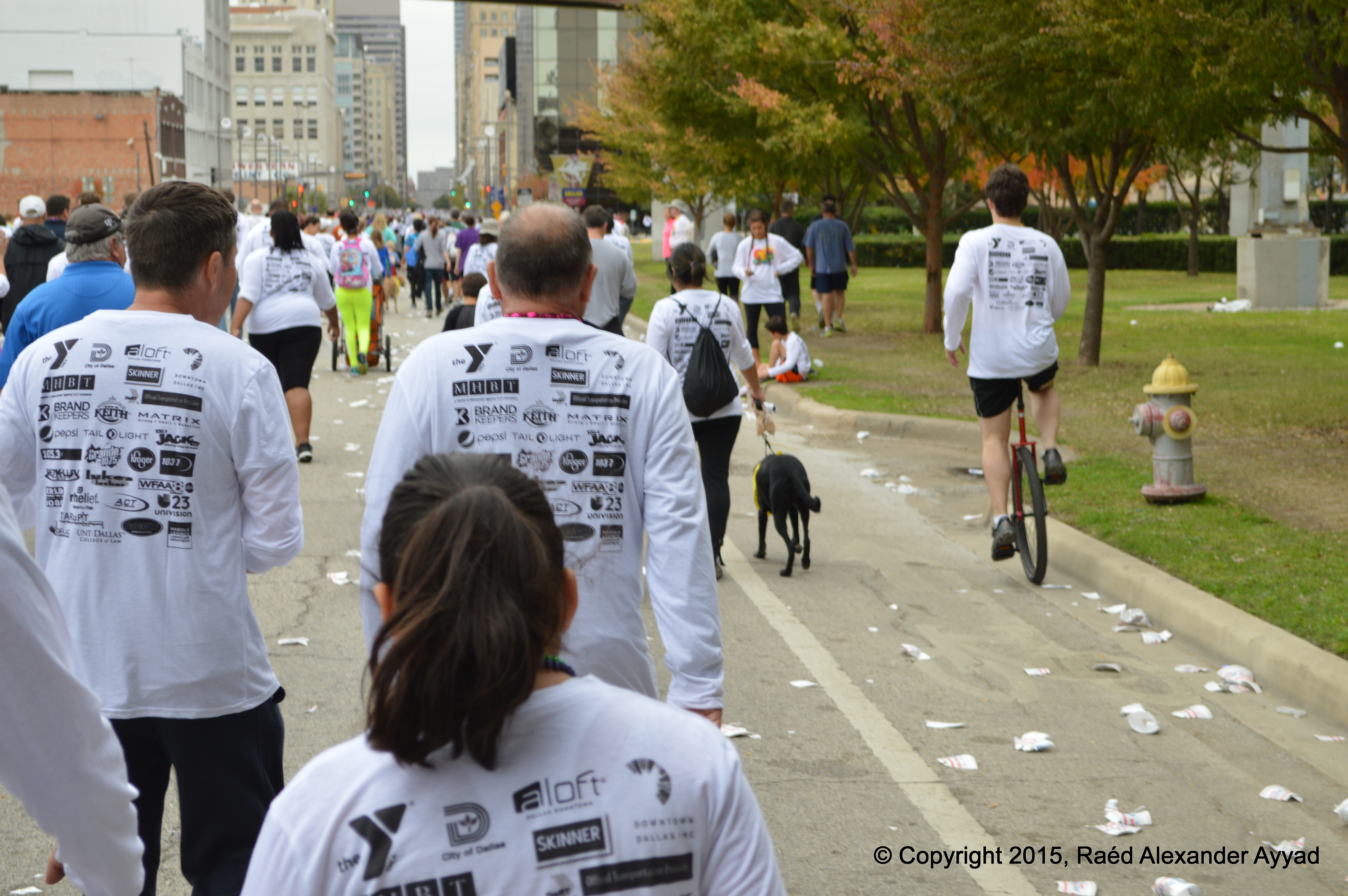
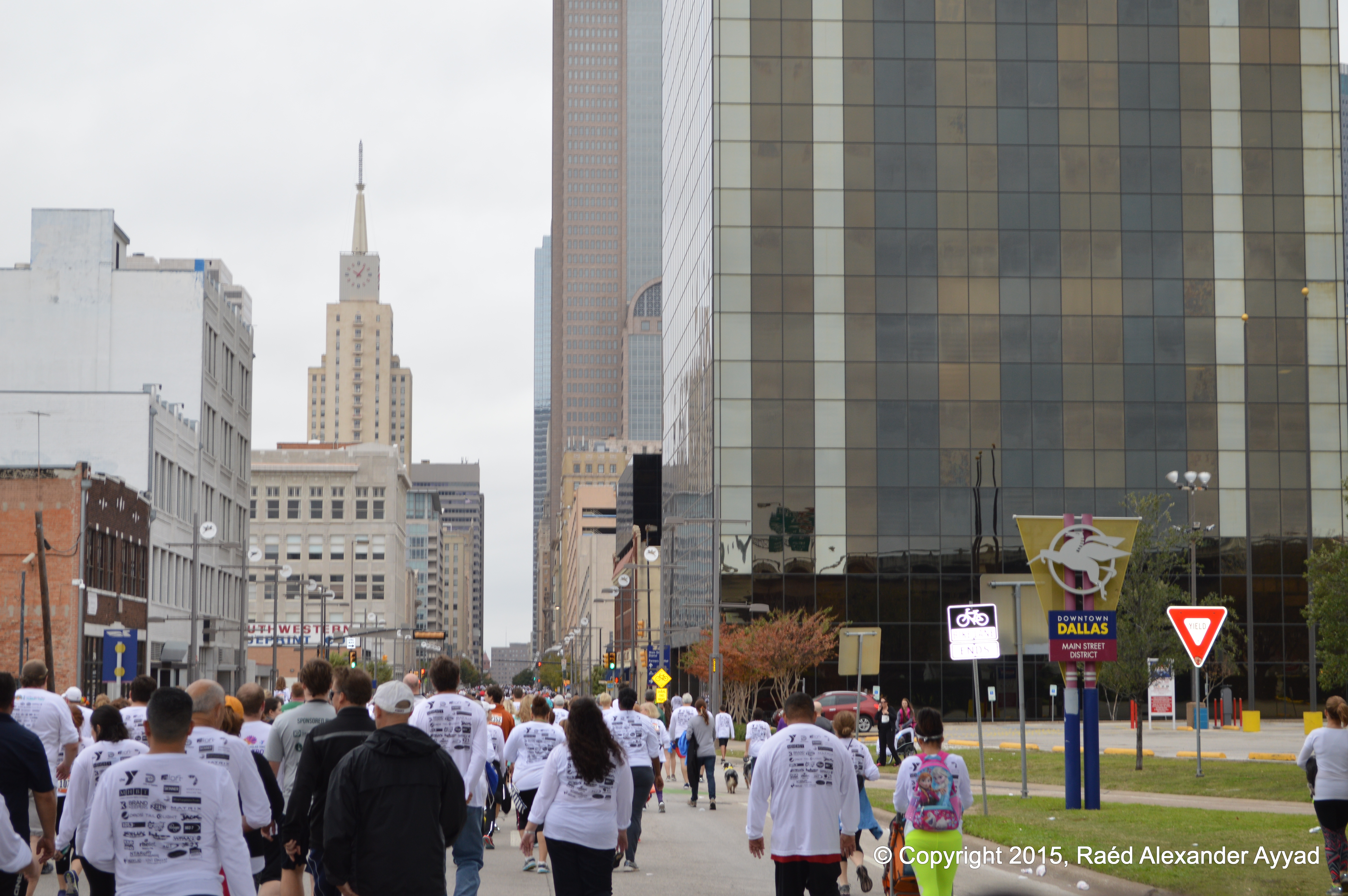
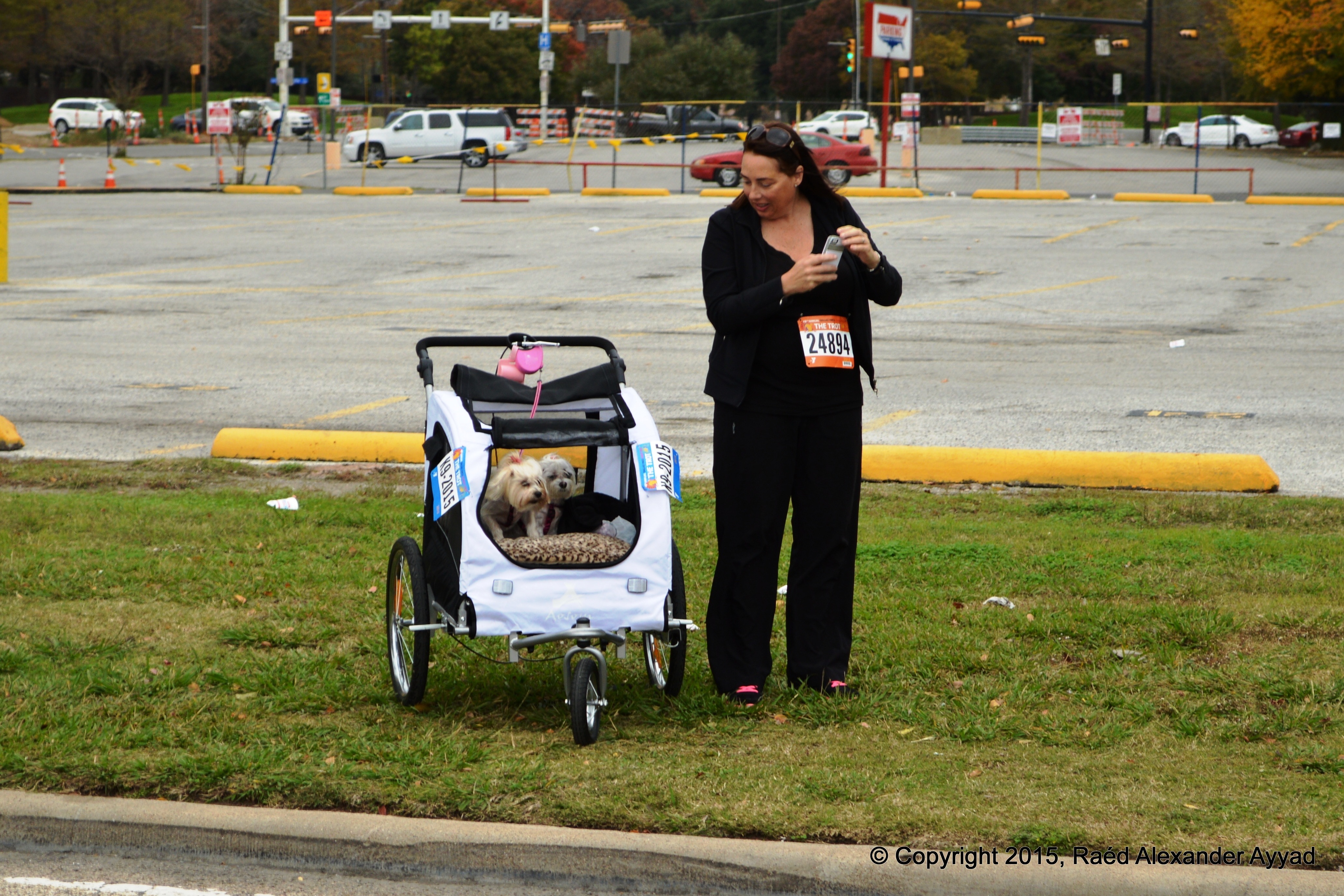
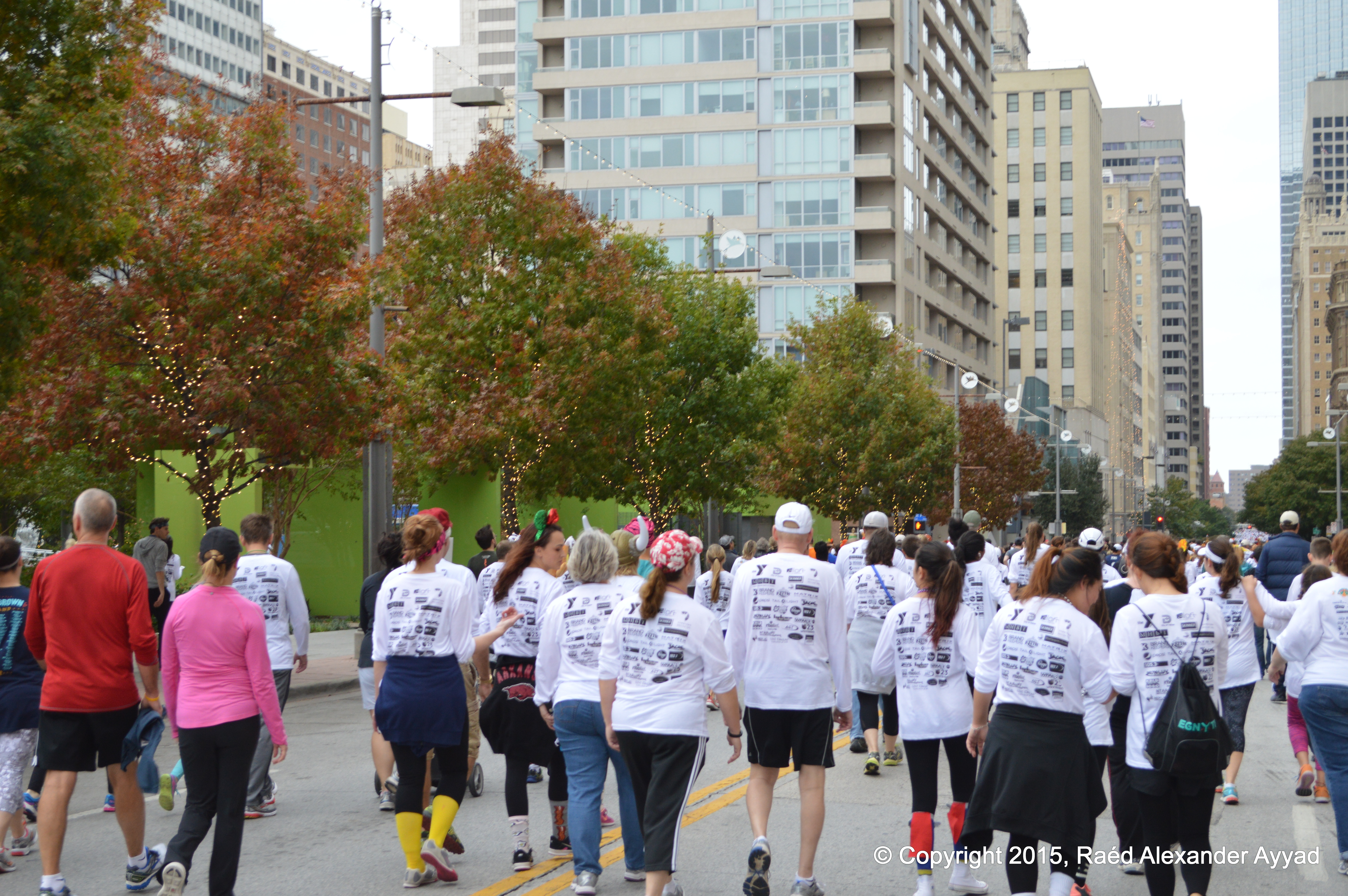
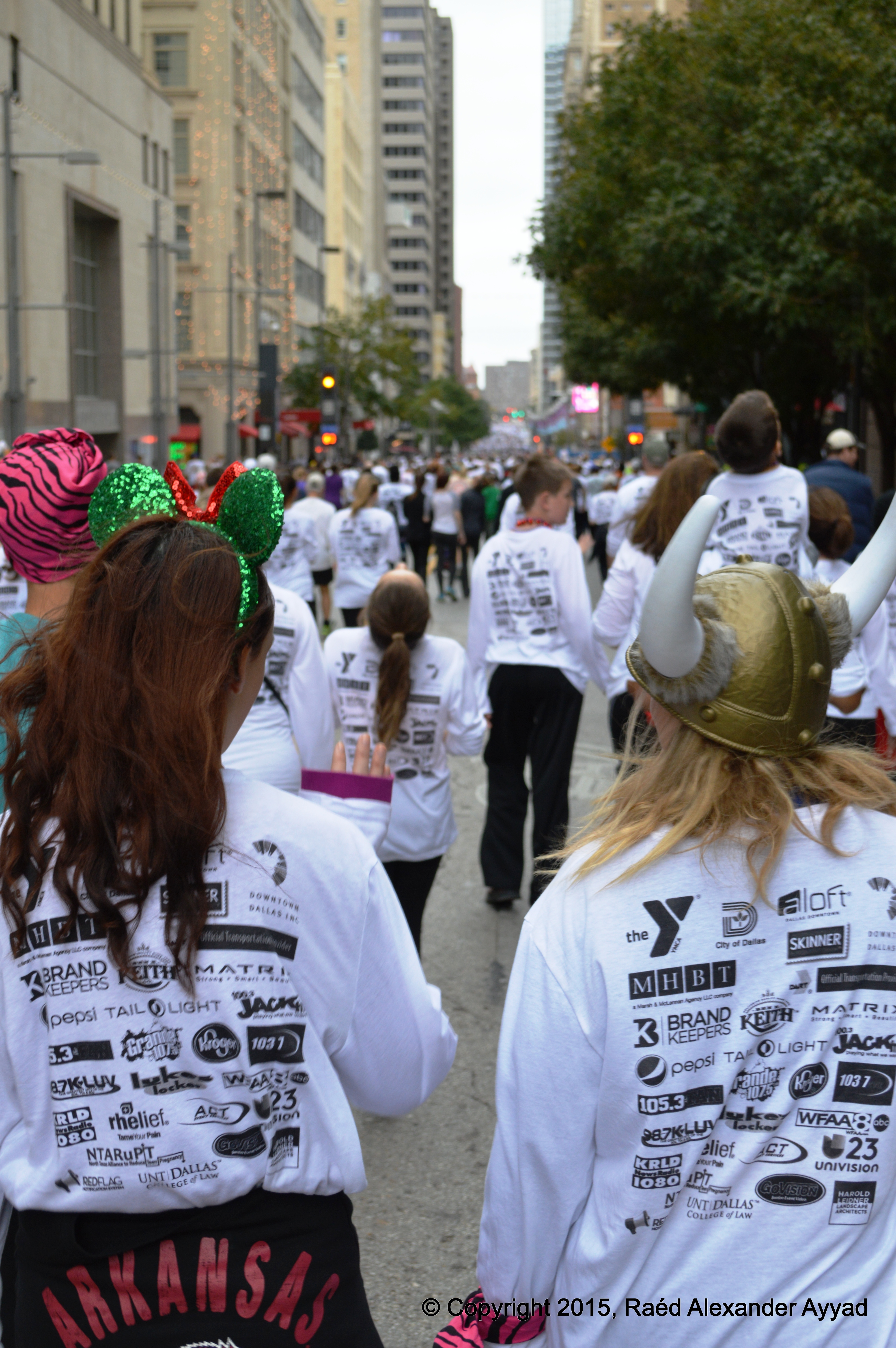
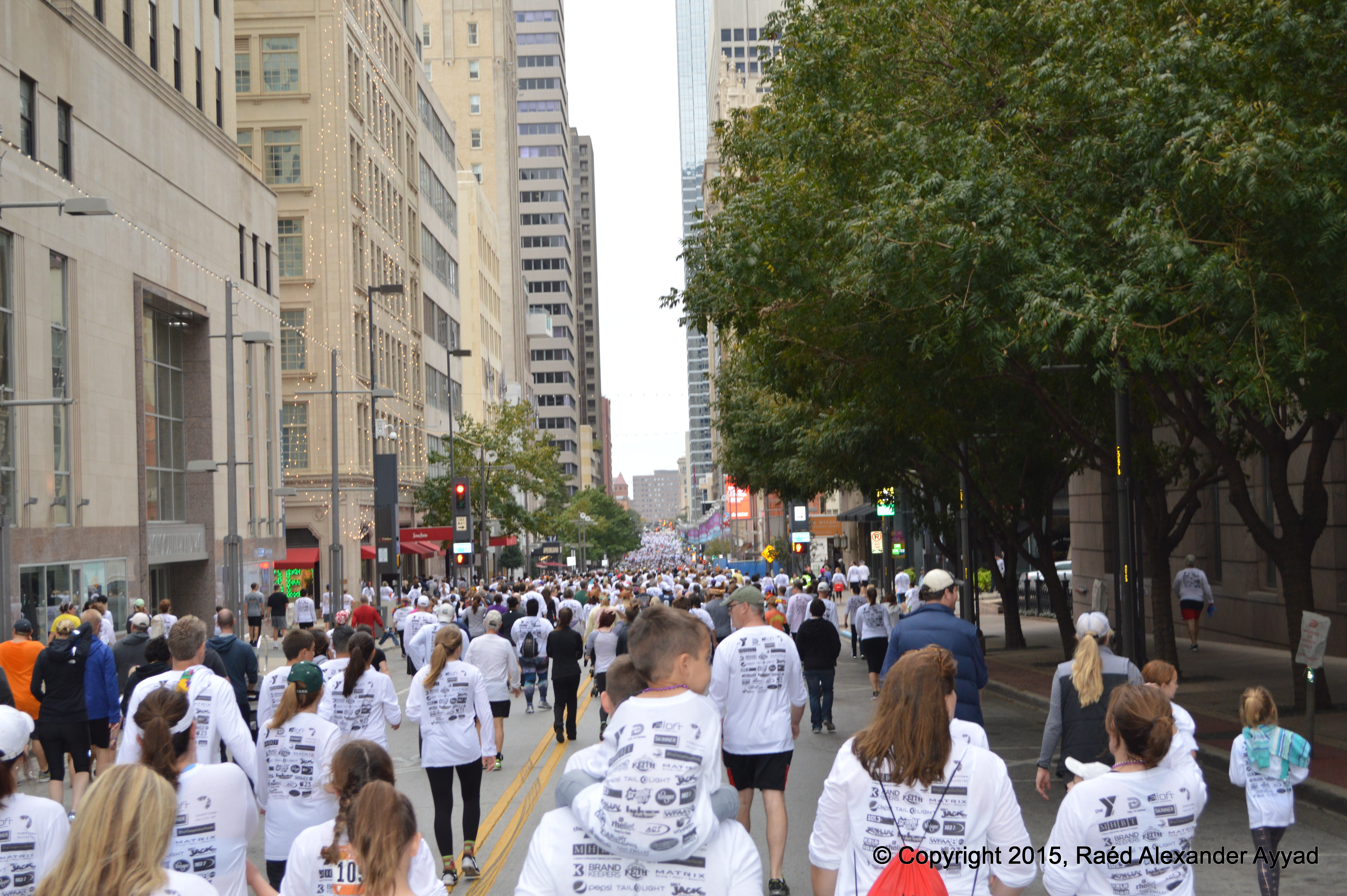
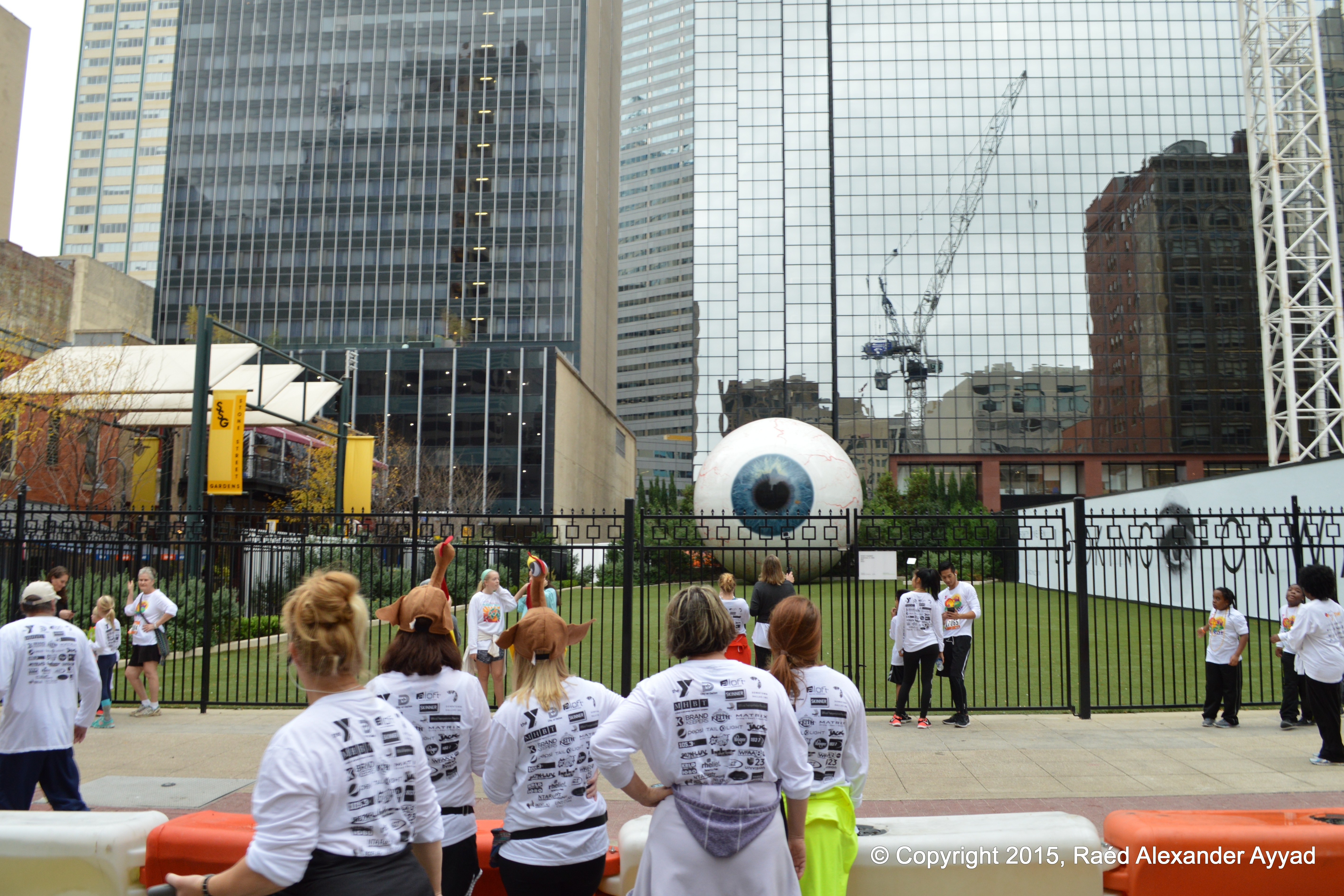
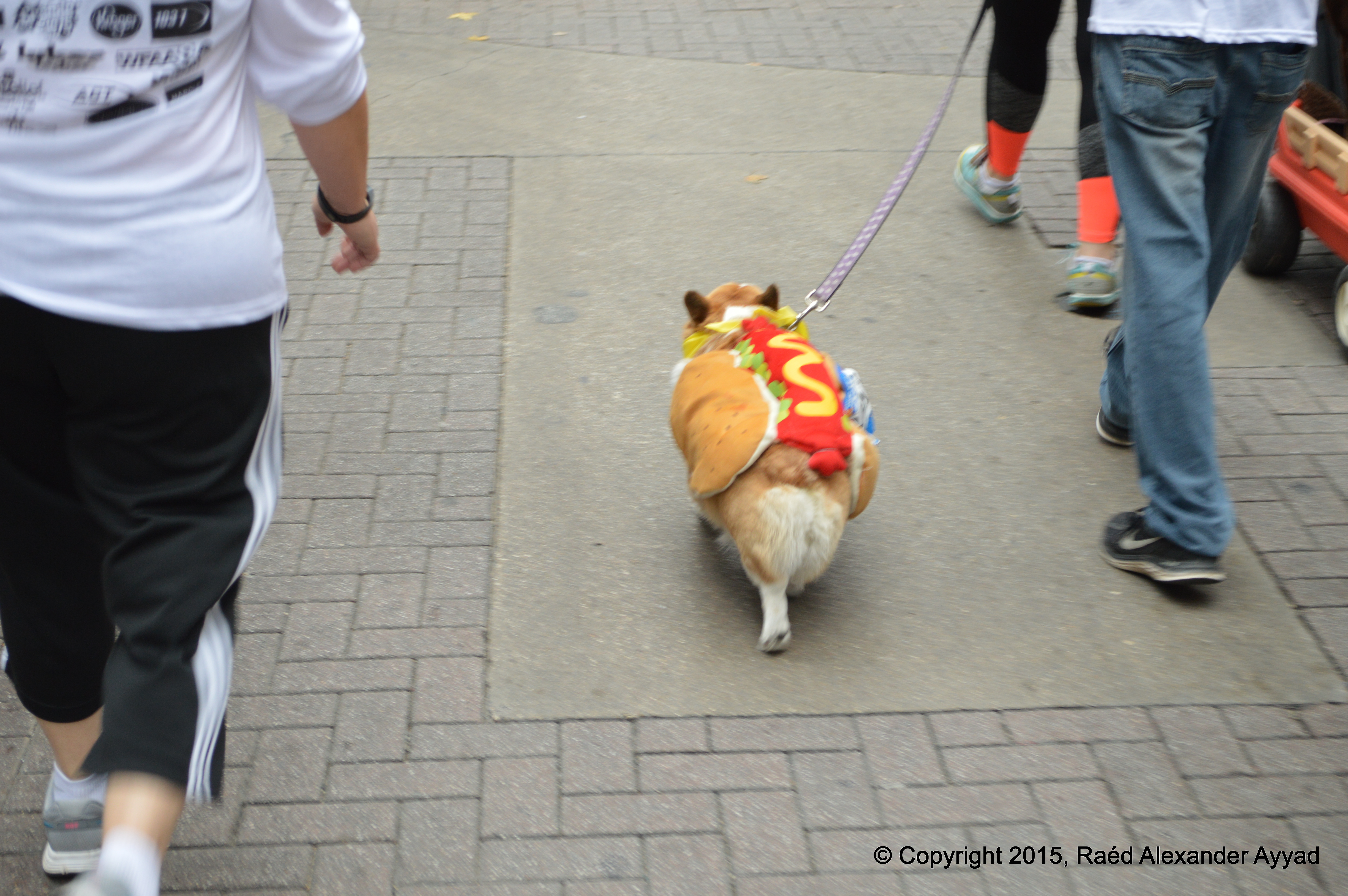
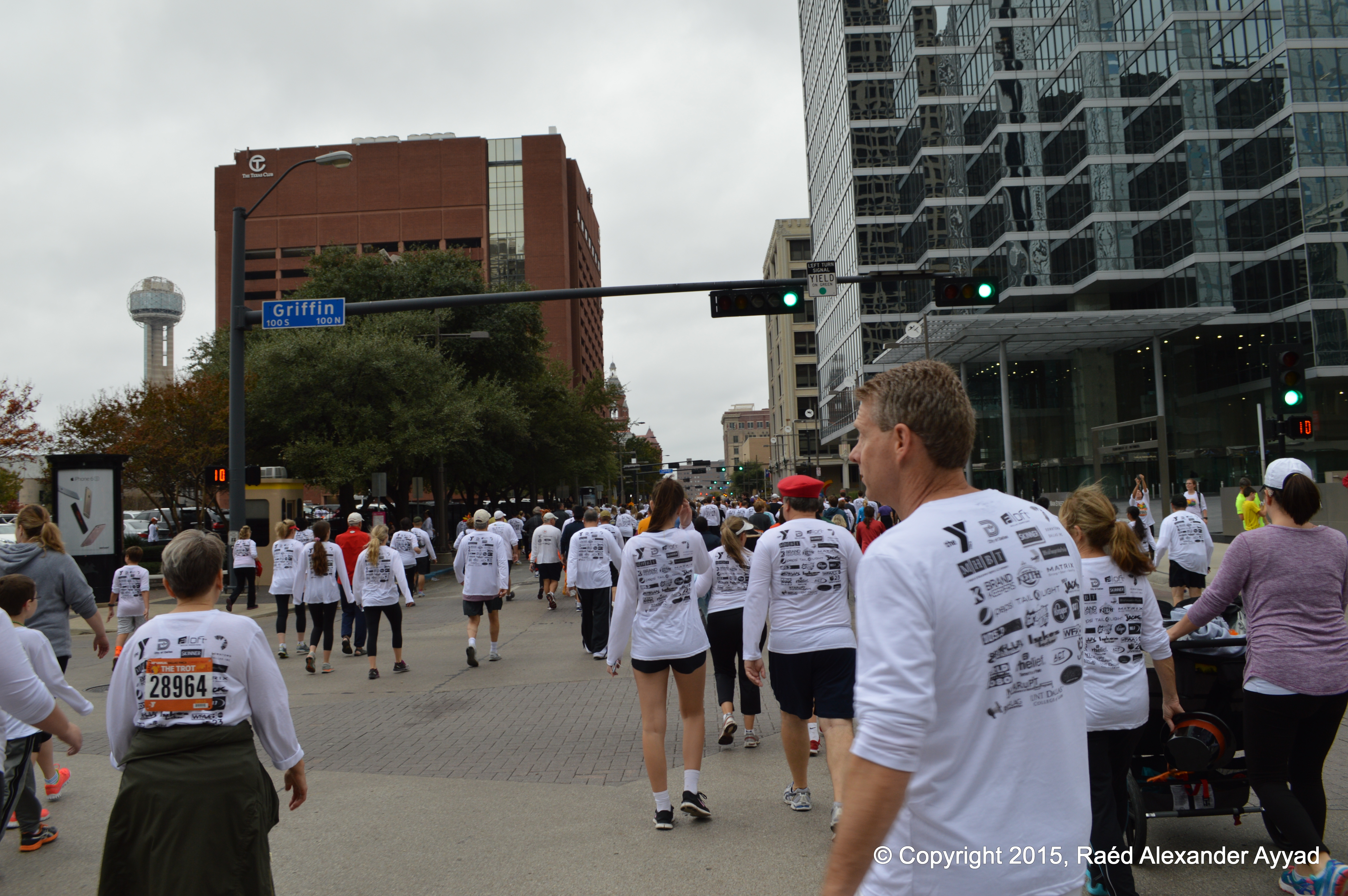
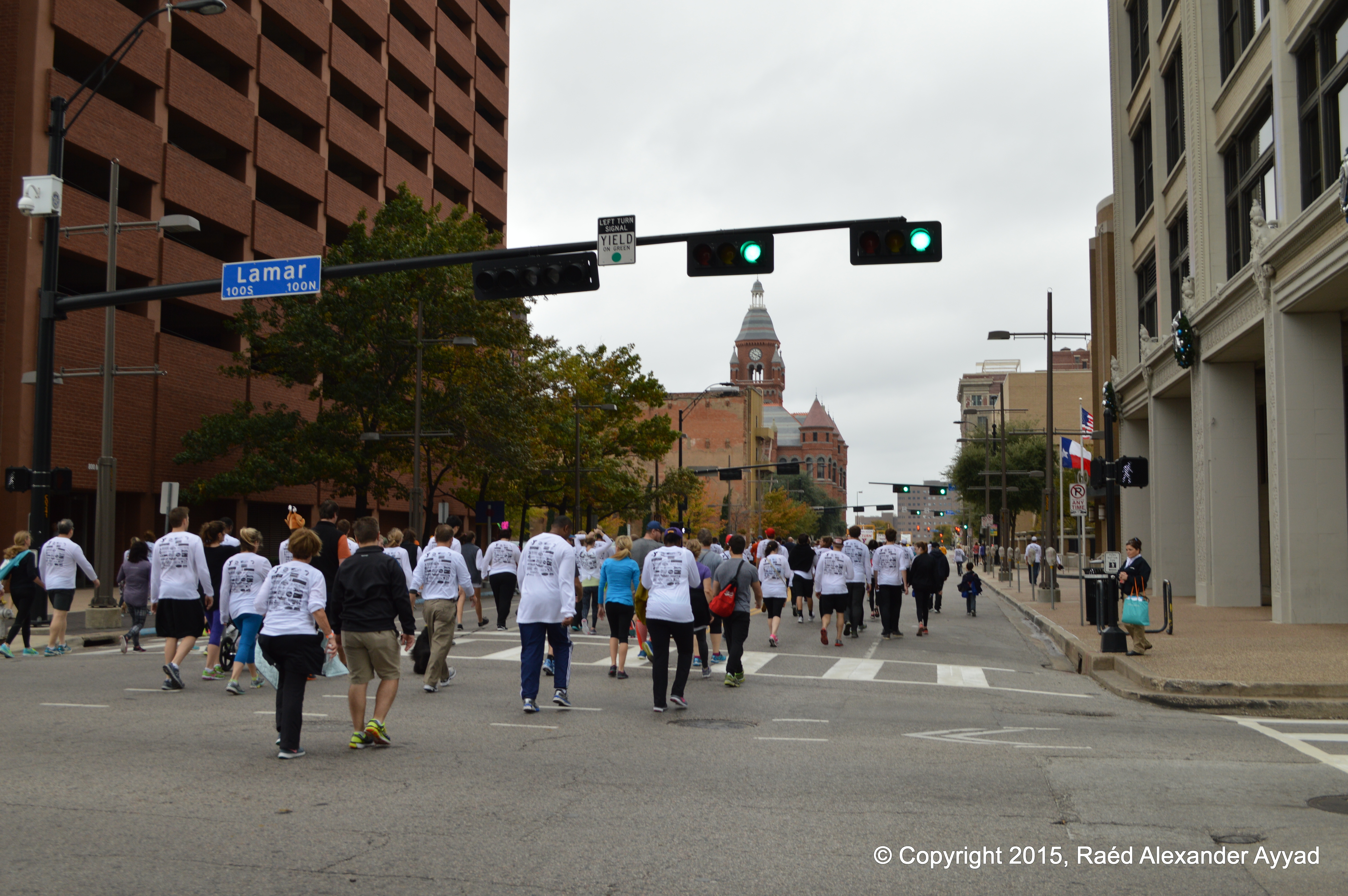
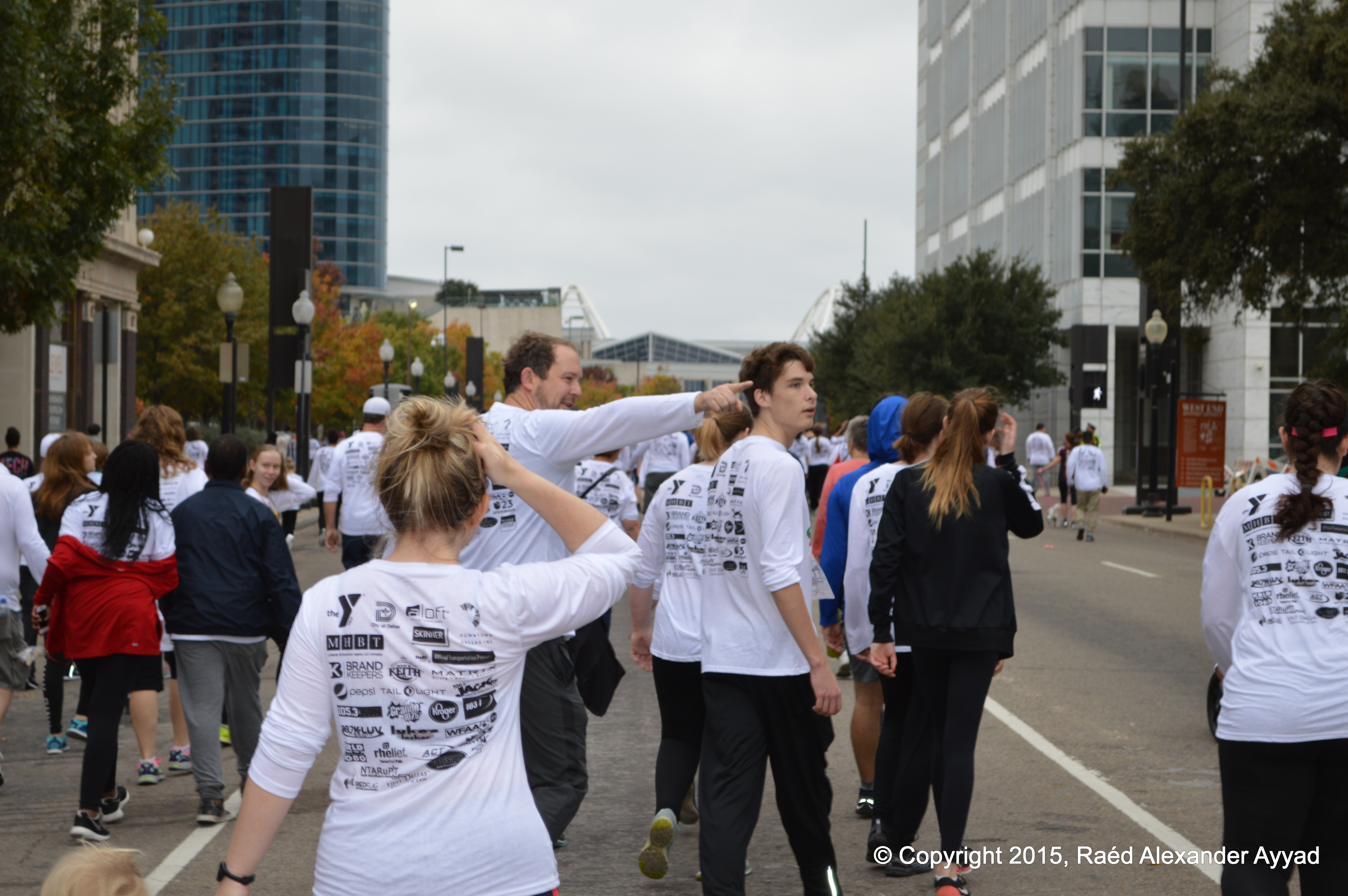
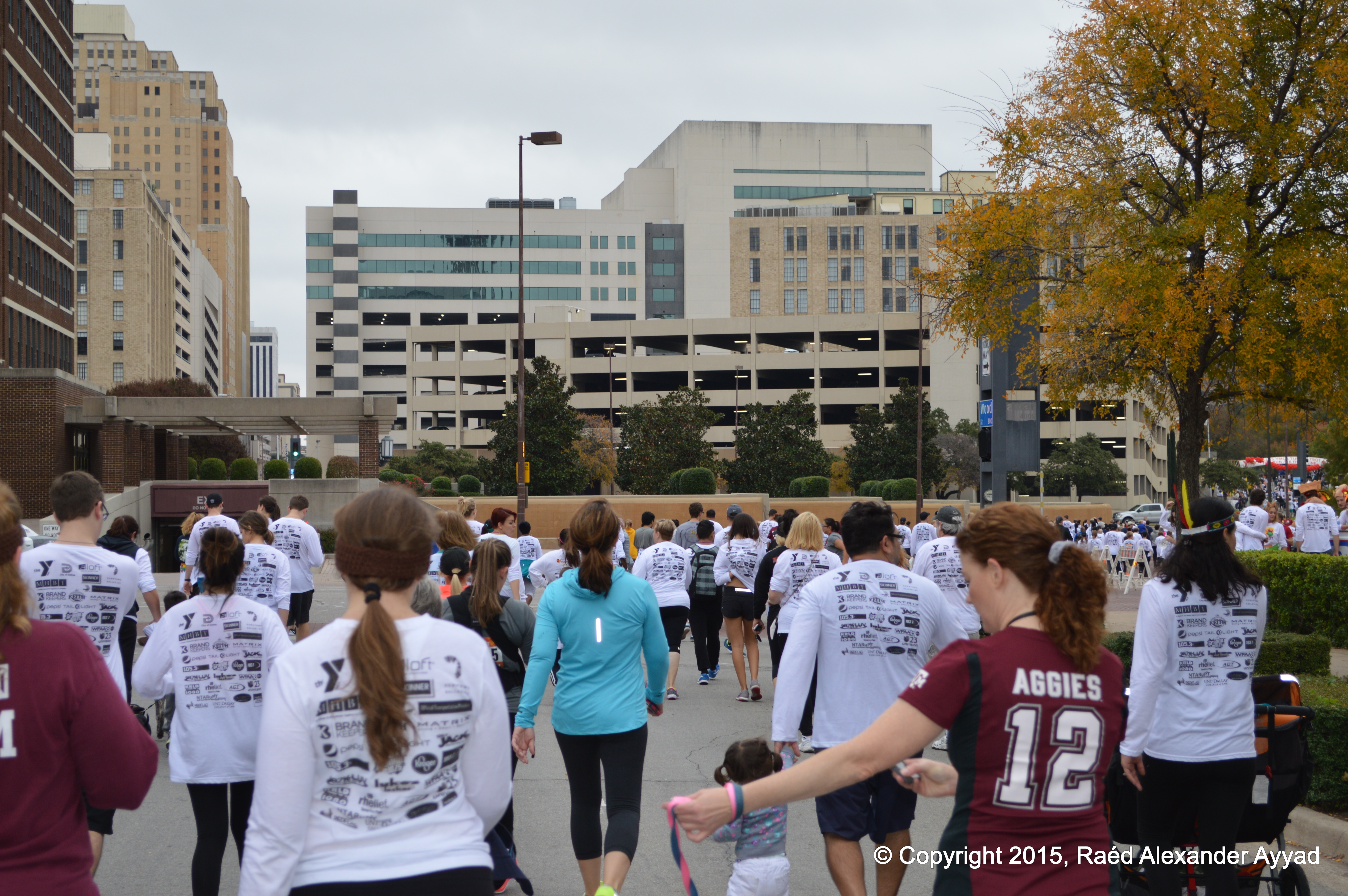
There were
people (many with their pets) from different states and countries, all walks
of life and ages (including babies being carried or riding strollers),
individuals, couples, families, friends, and groups representing
organizations, etc. Some people were chatting together and laughing, others
were focused and somber, and some were simply looking around and smiling.
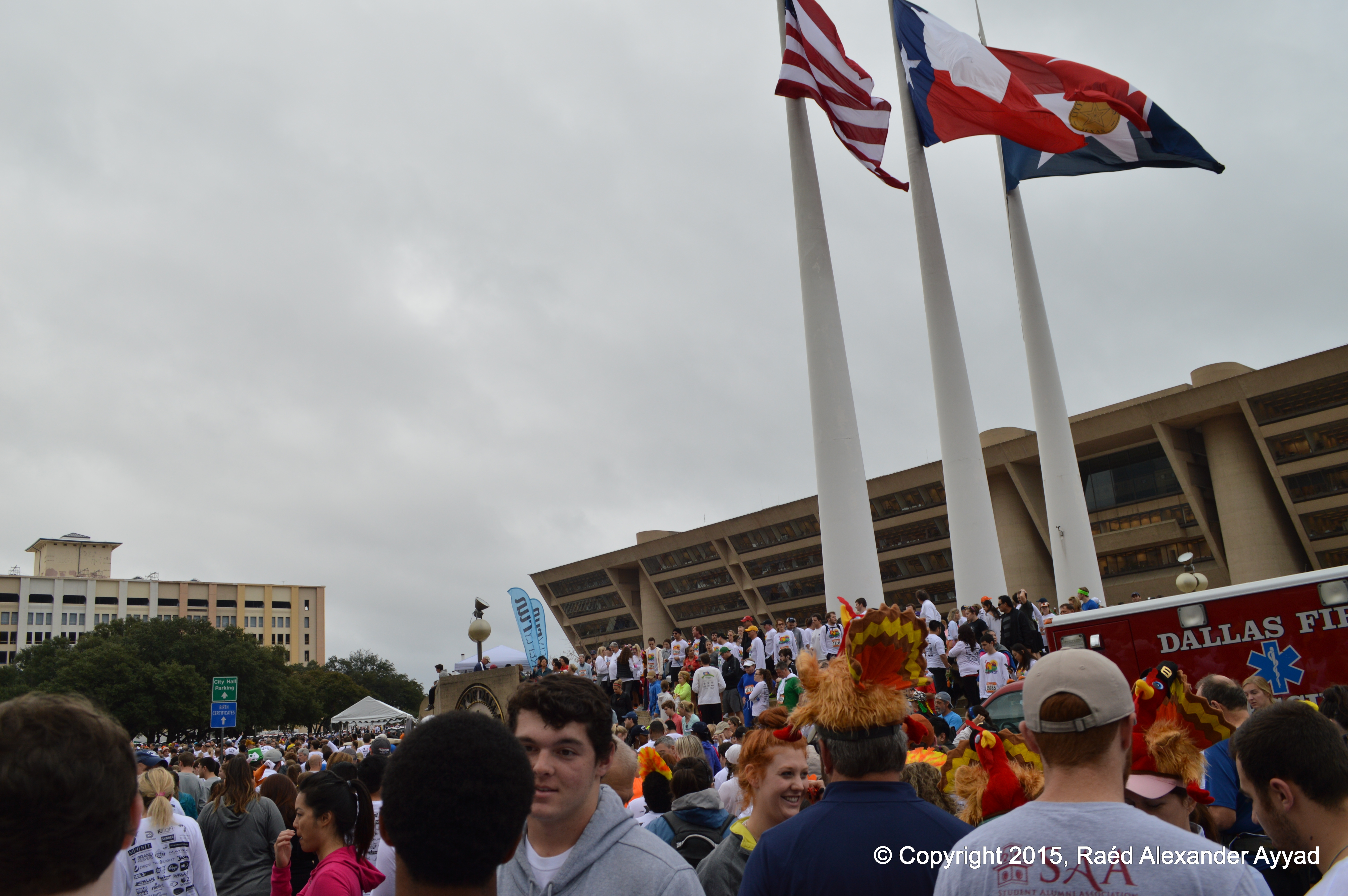
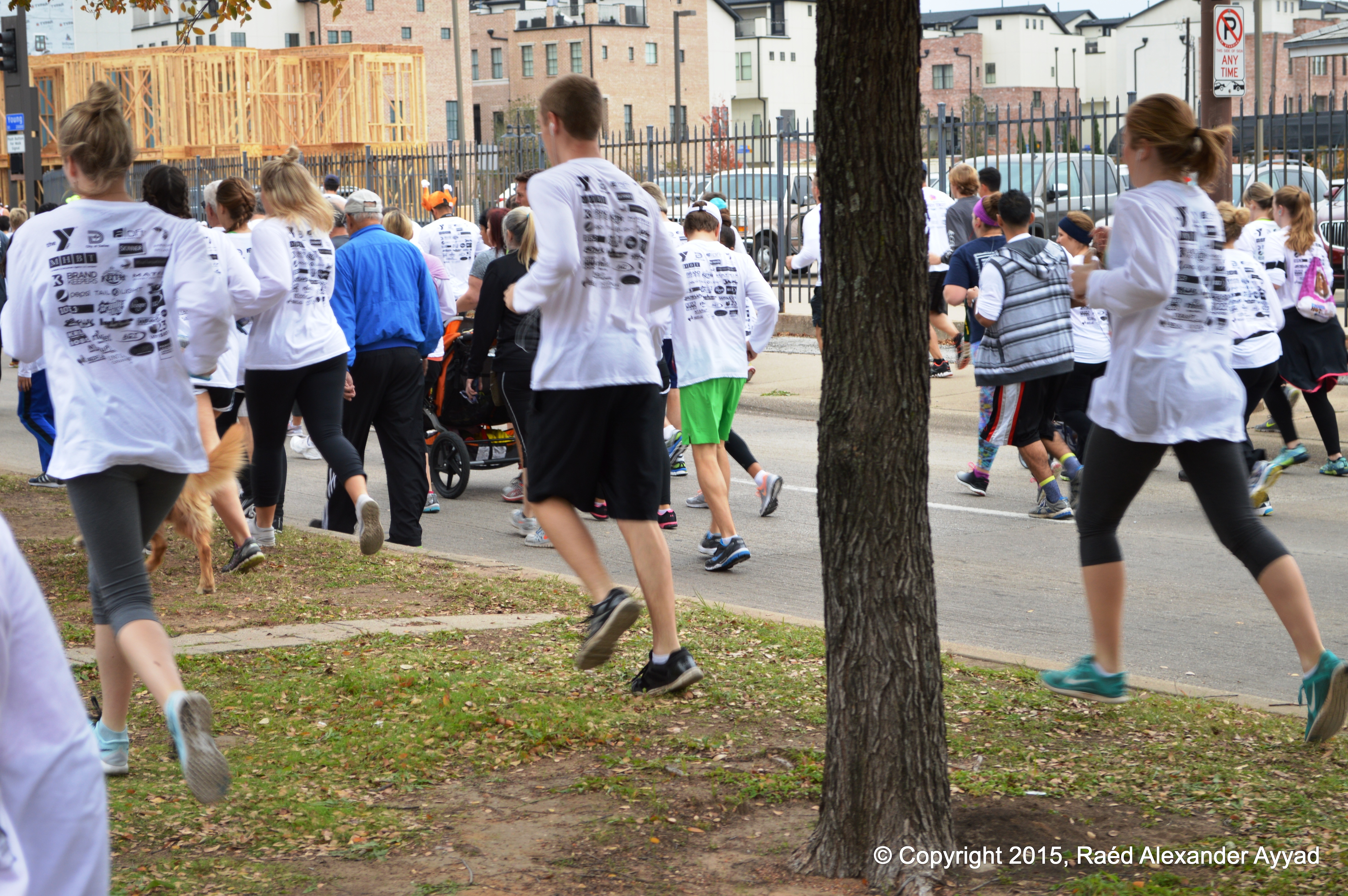
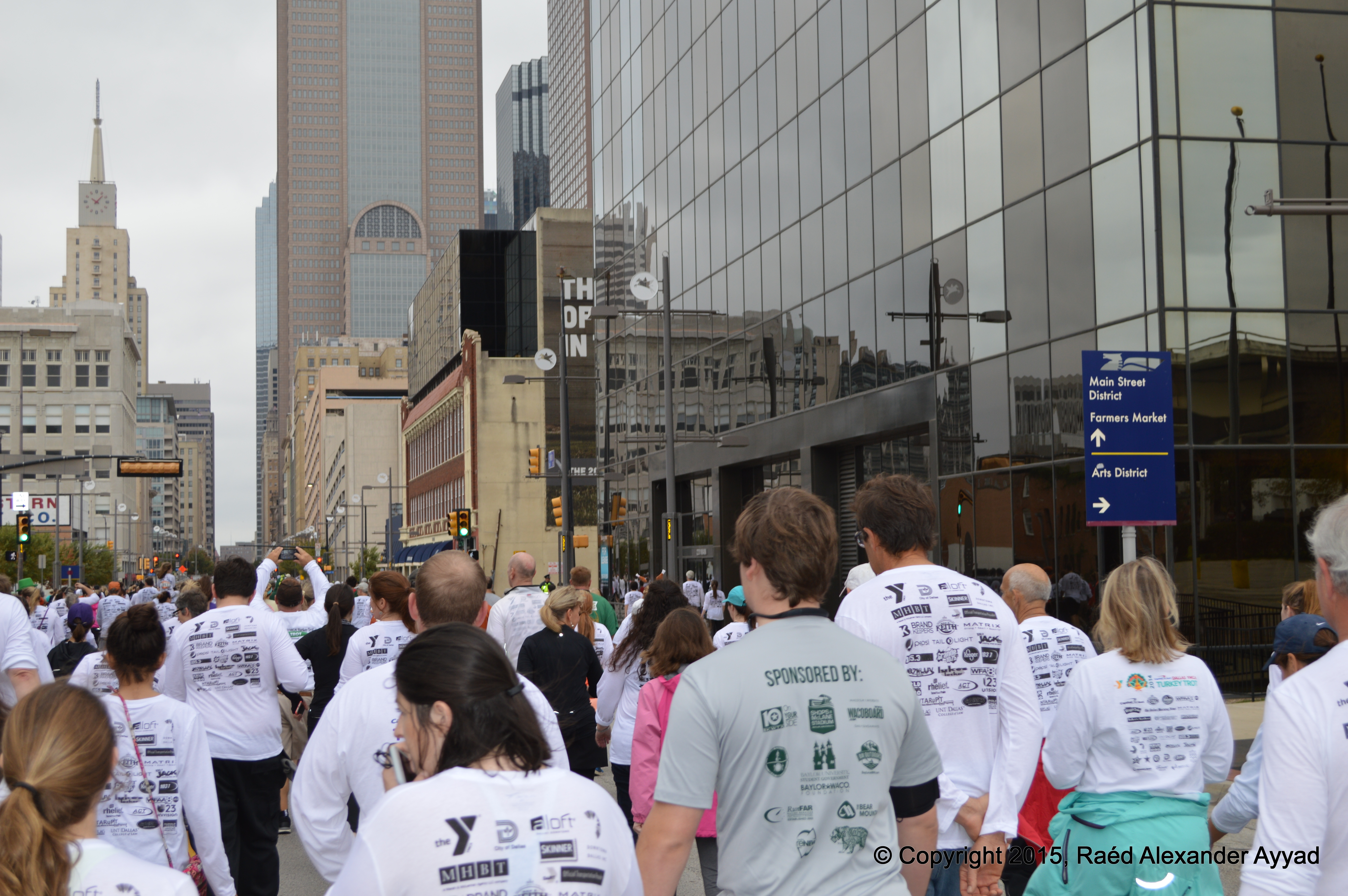
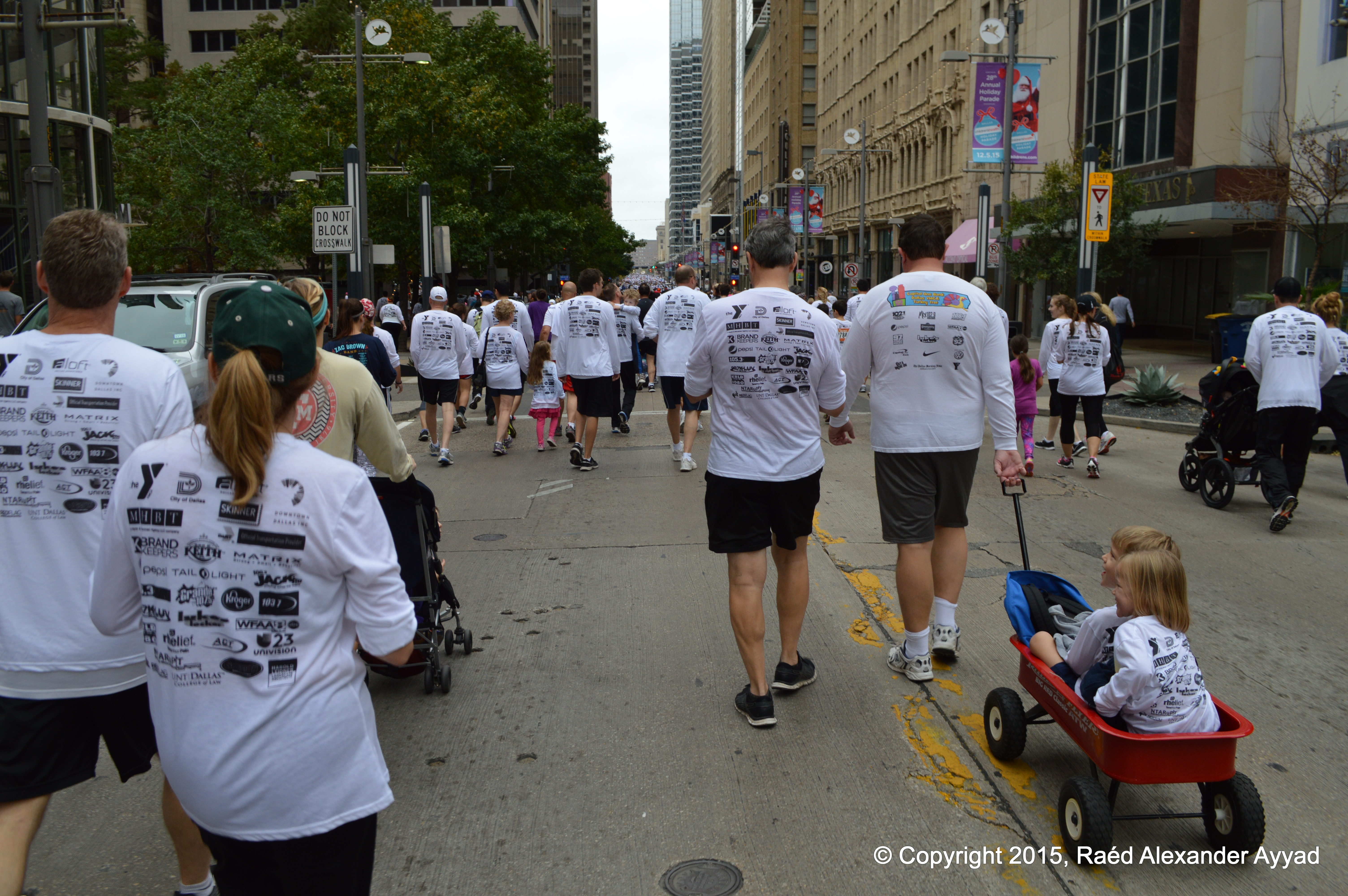
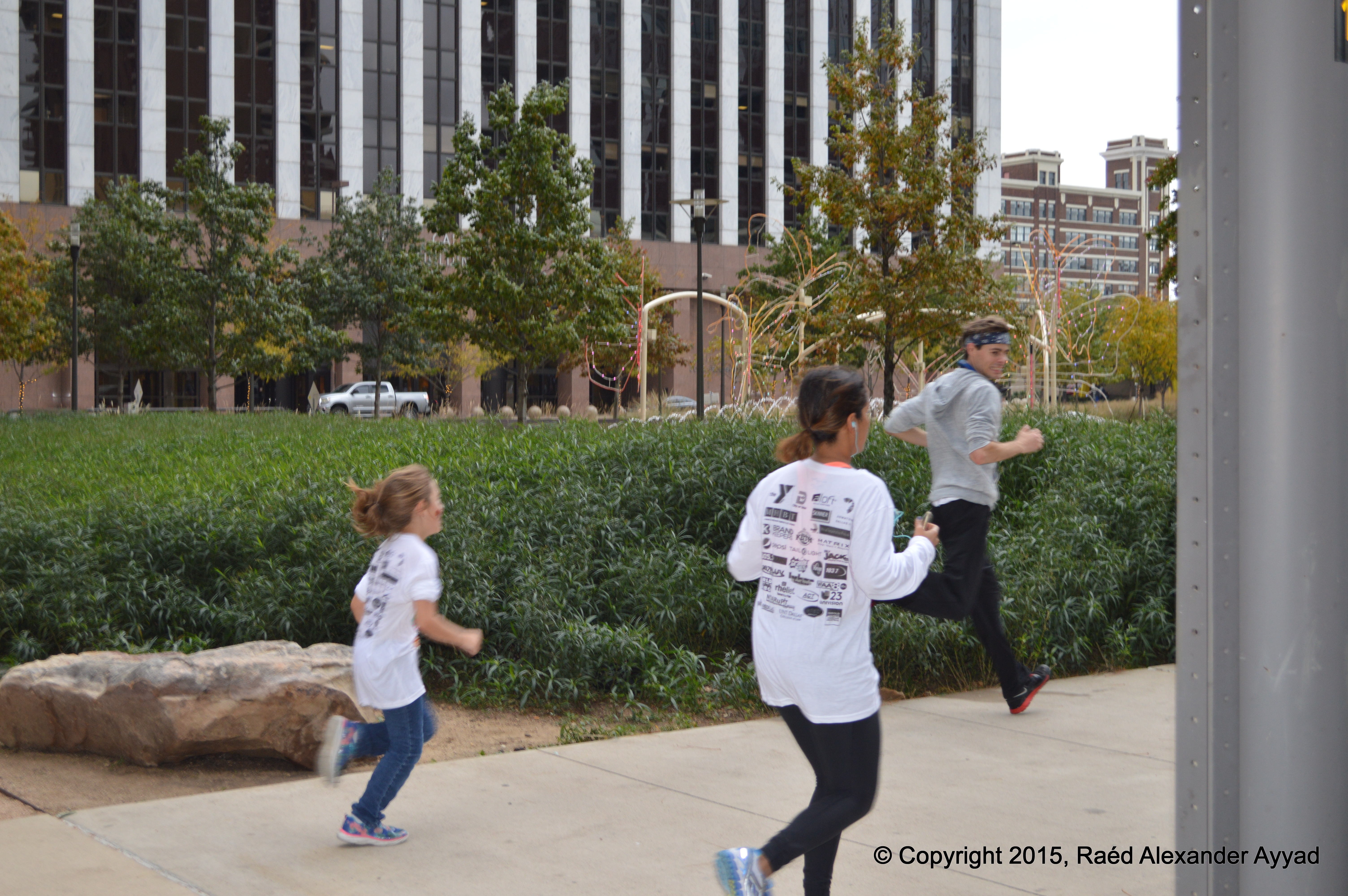
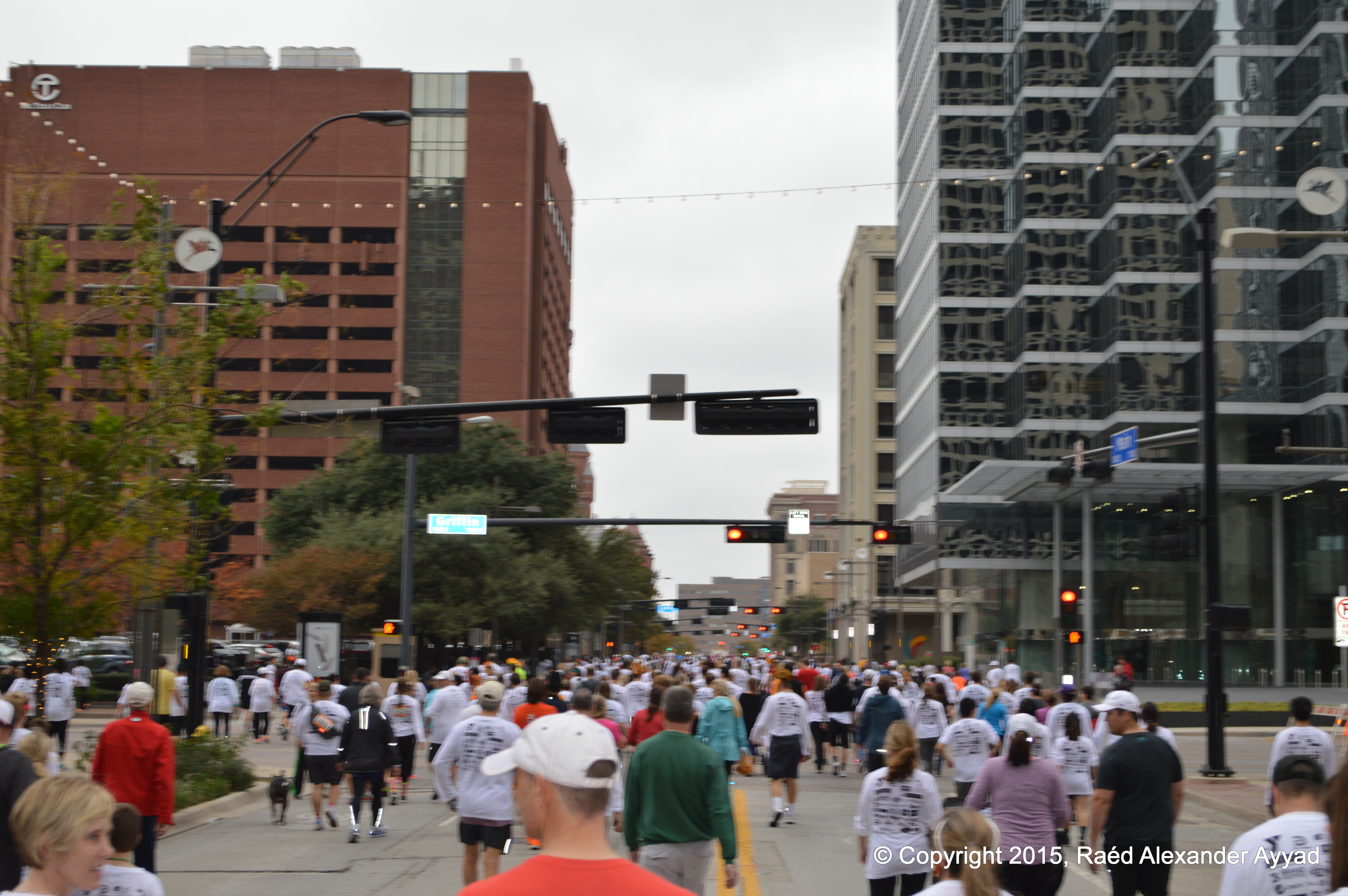
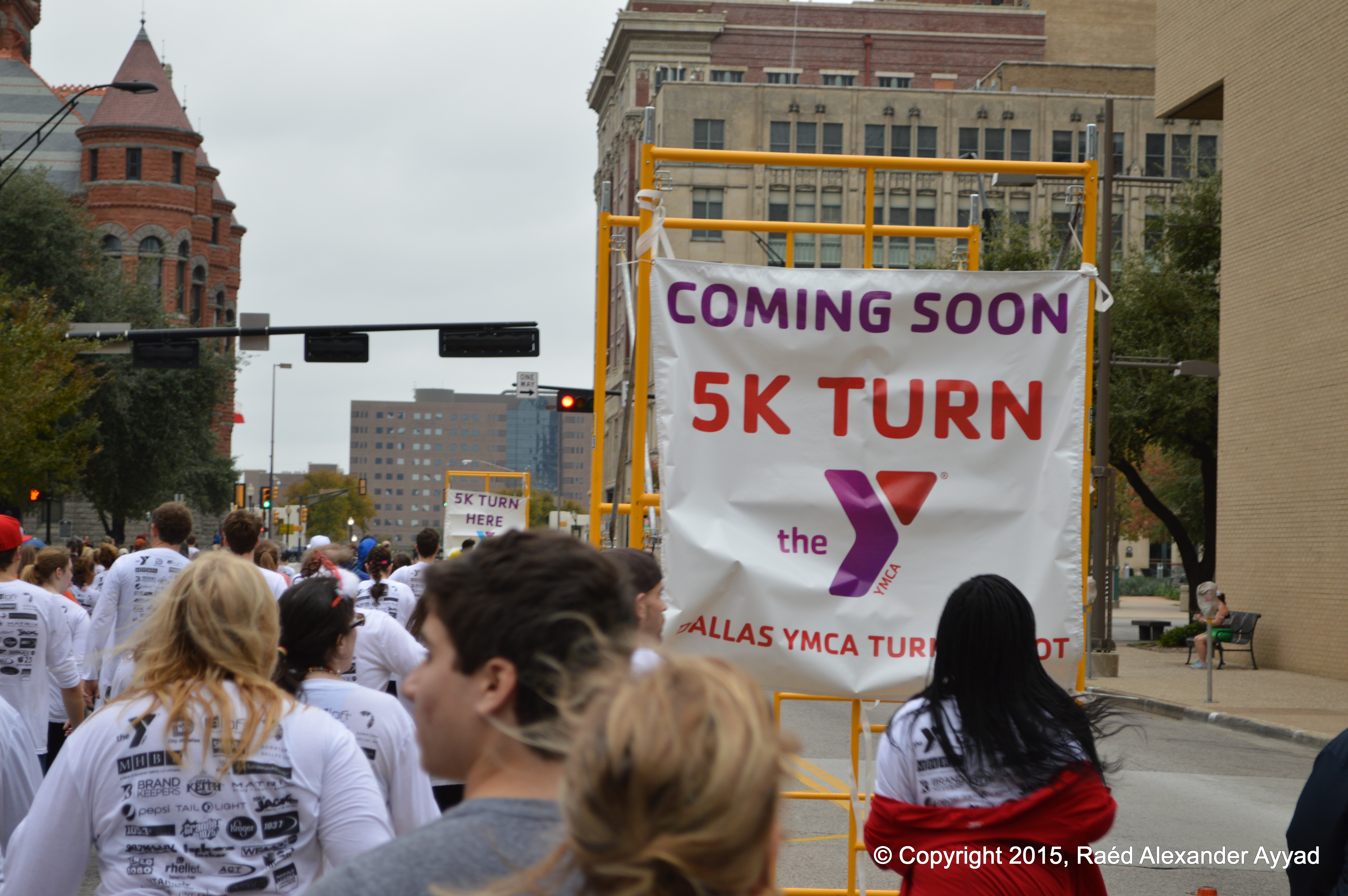
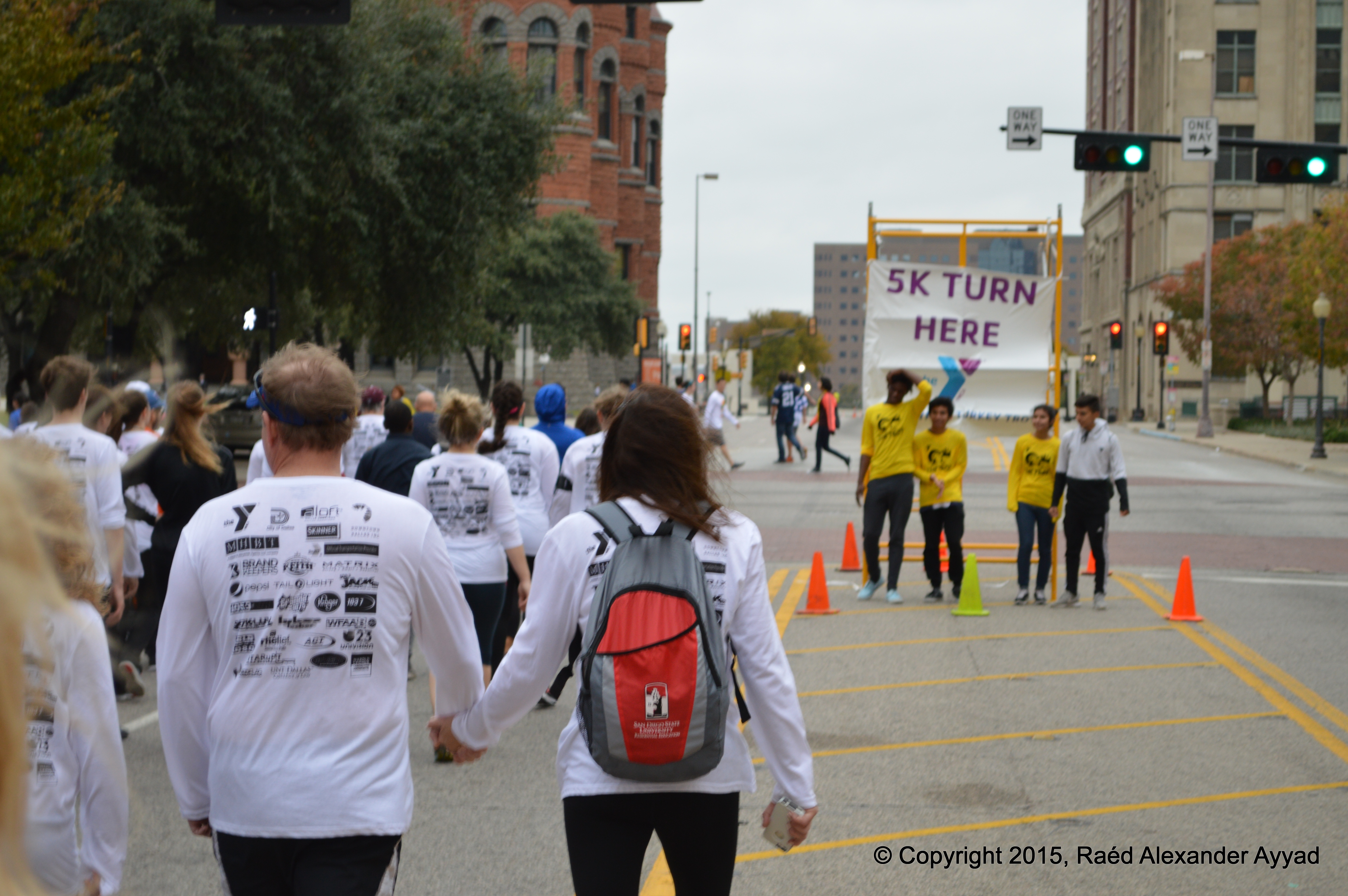
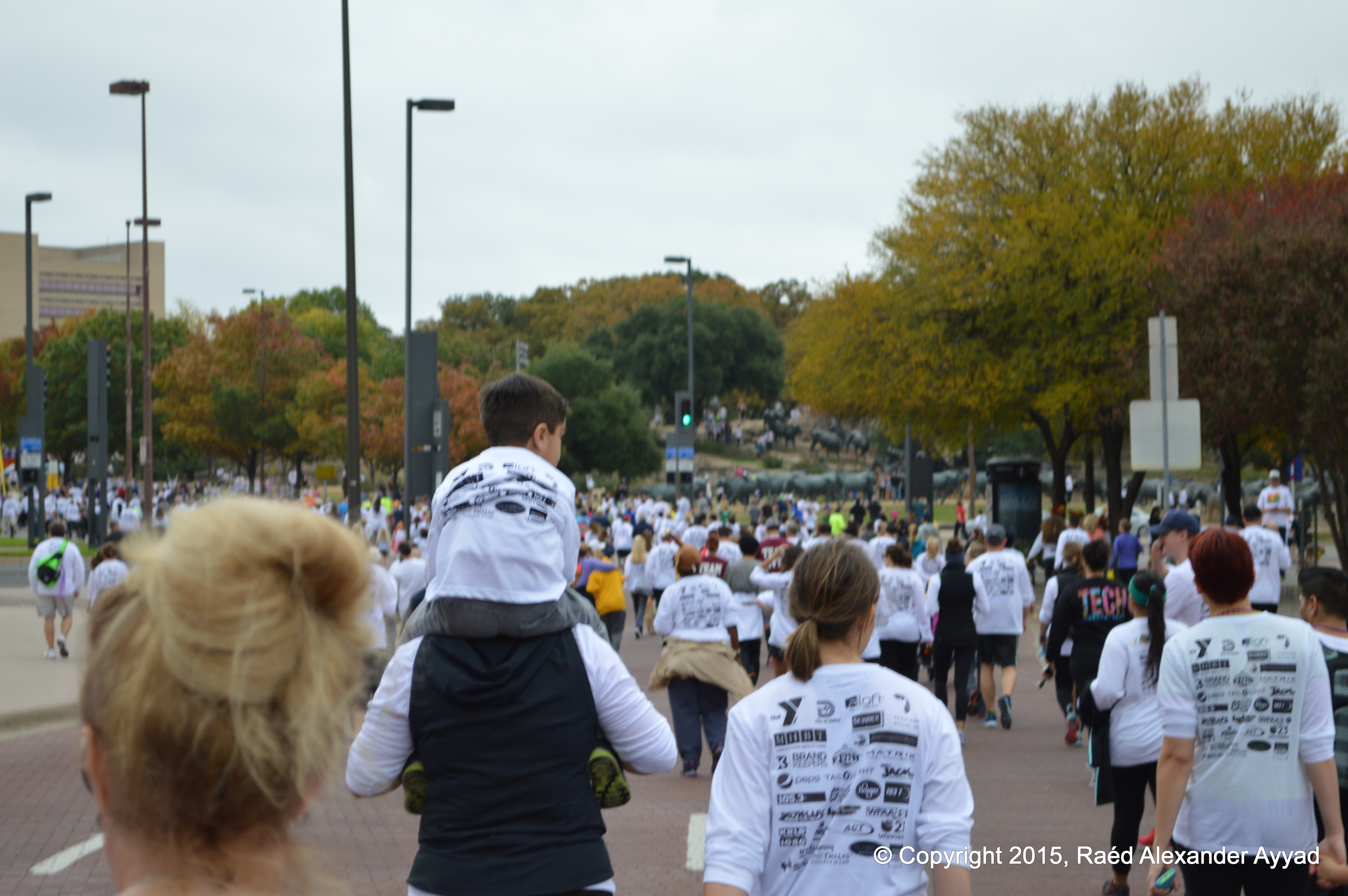
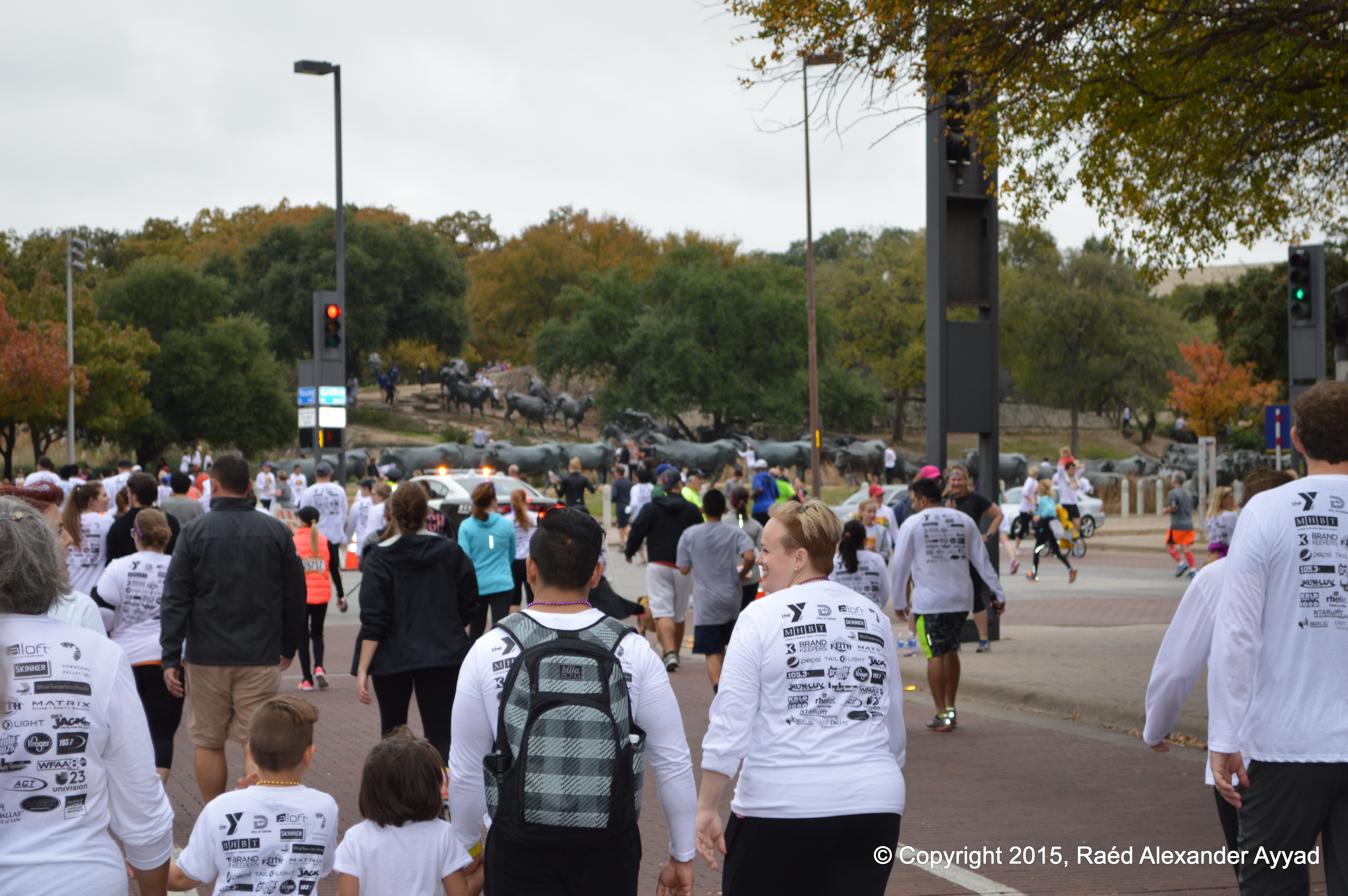
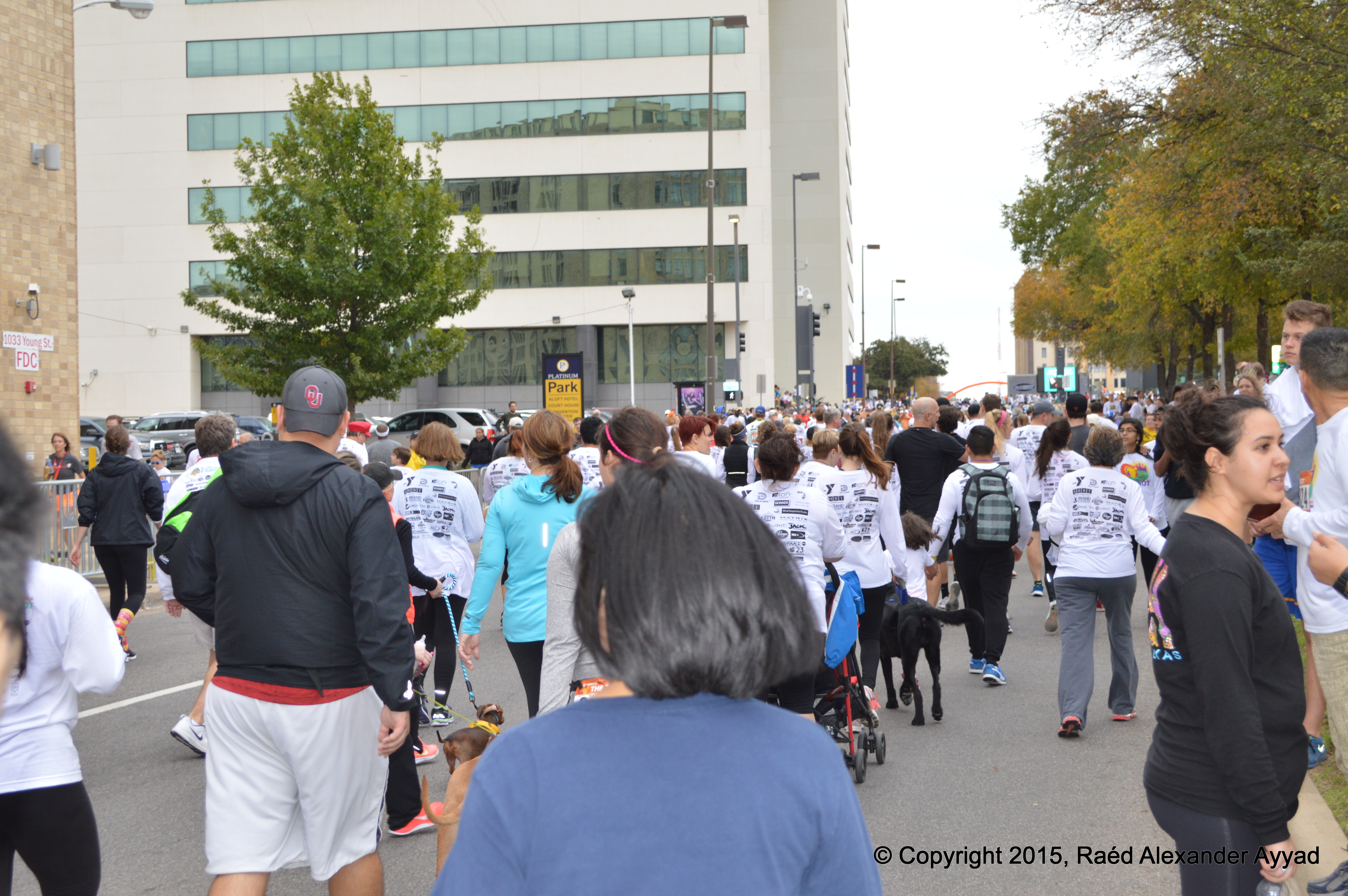
The call to
"Go!" was announced, and the river of people started advancing! Some of the
mothers and fathers pushing babies in their strollers looked like Formula-1
race car drivers revving their motors, and ready to throttle-up, to start travelling their
circuits aiming for the openings between people in the crowd! Others
were just relaxed and chatting as they slowly moved forward.
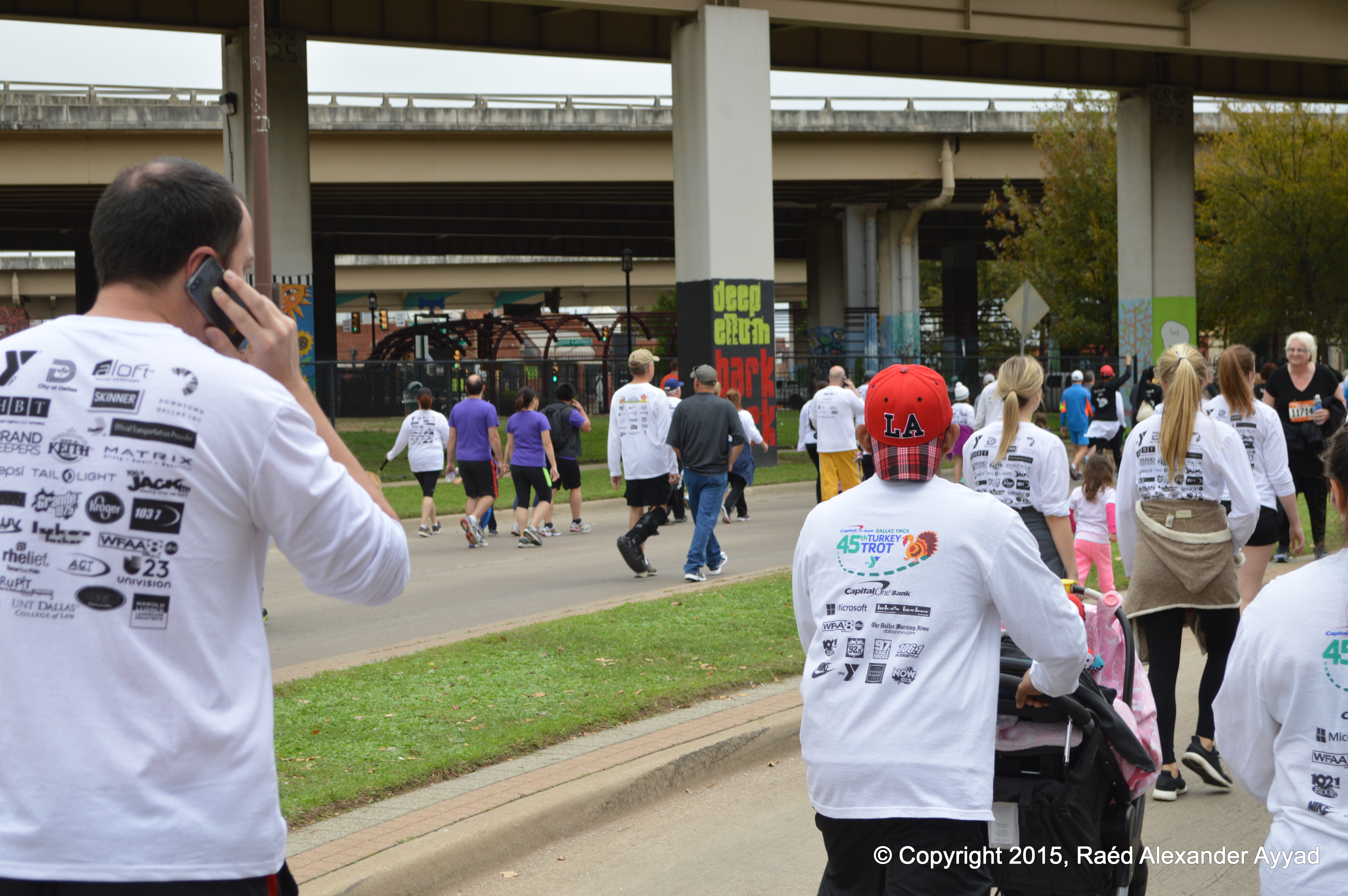
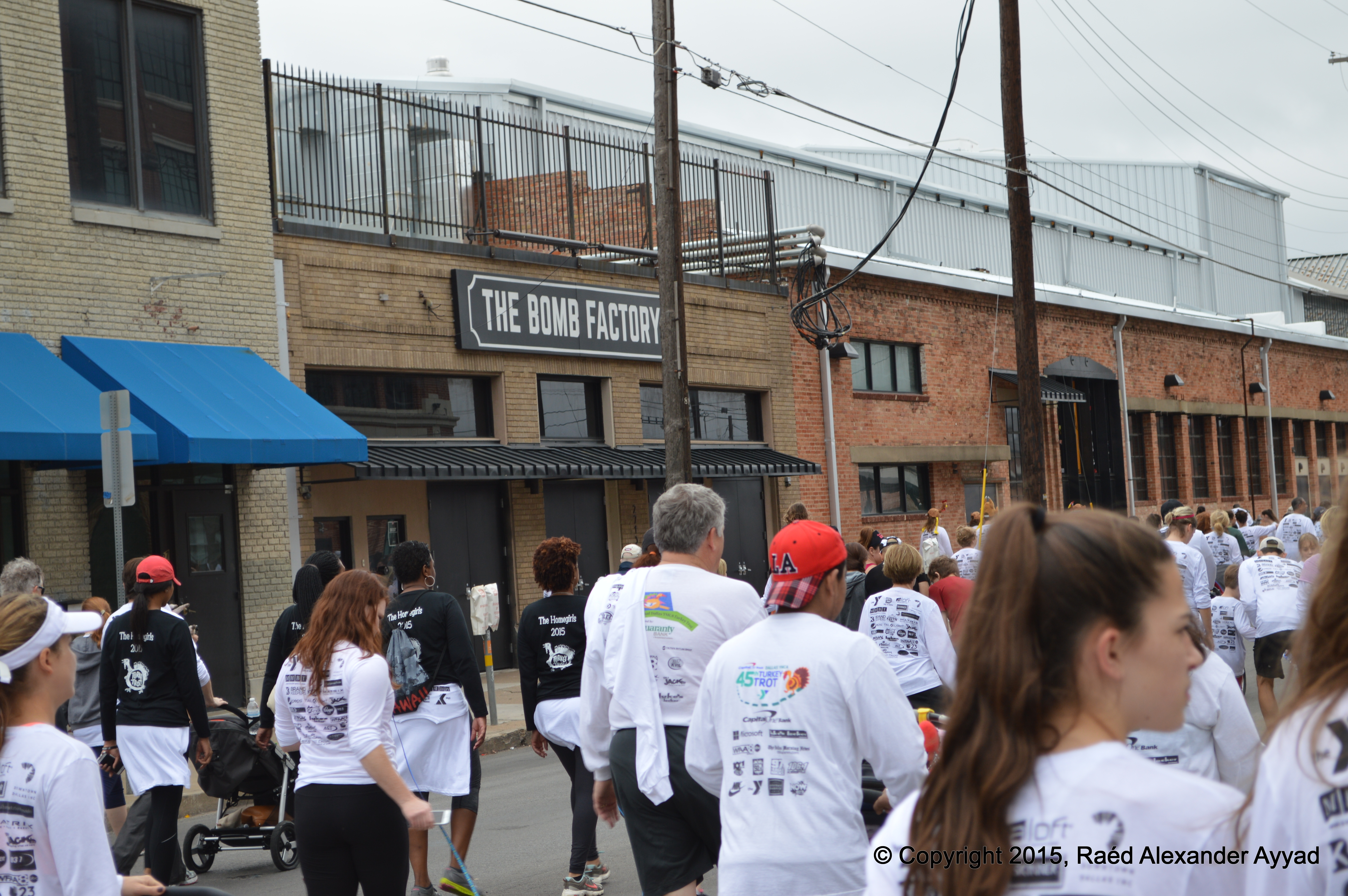
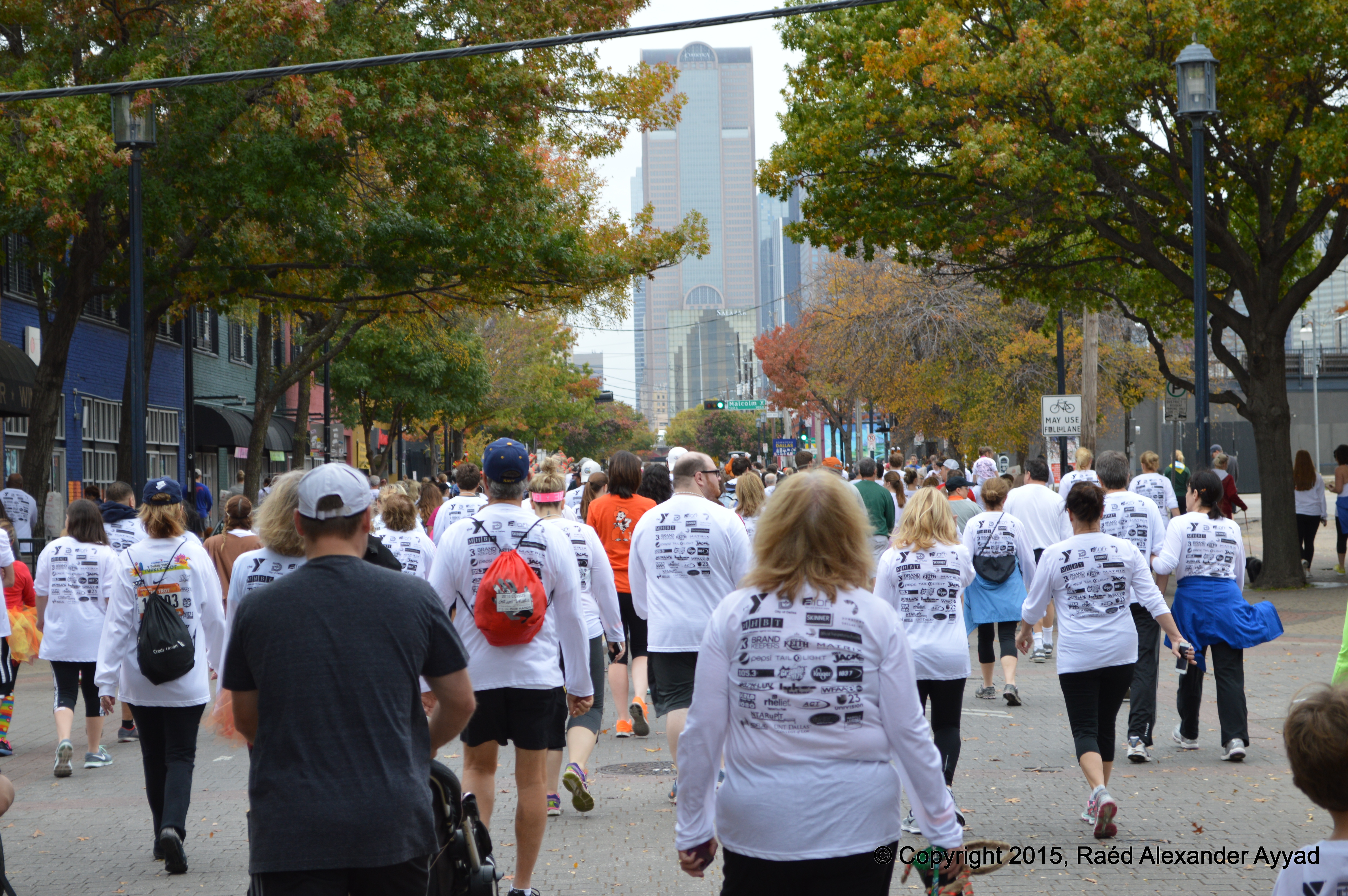
Right off,
some runners were jetting out -while politely maneuvering around other
participants- in competition for the race prizes; others just took their time
in speeds that ranged between a jog and a stroll! Then there was me... I came
so to share this experience with you, and I'll tell you this: taking good
photos while moving in a relatively dense dynamic crowd is not the easiest thing in the world
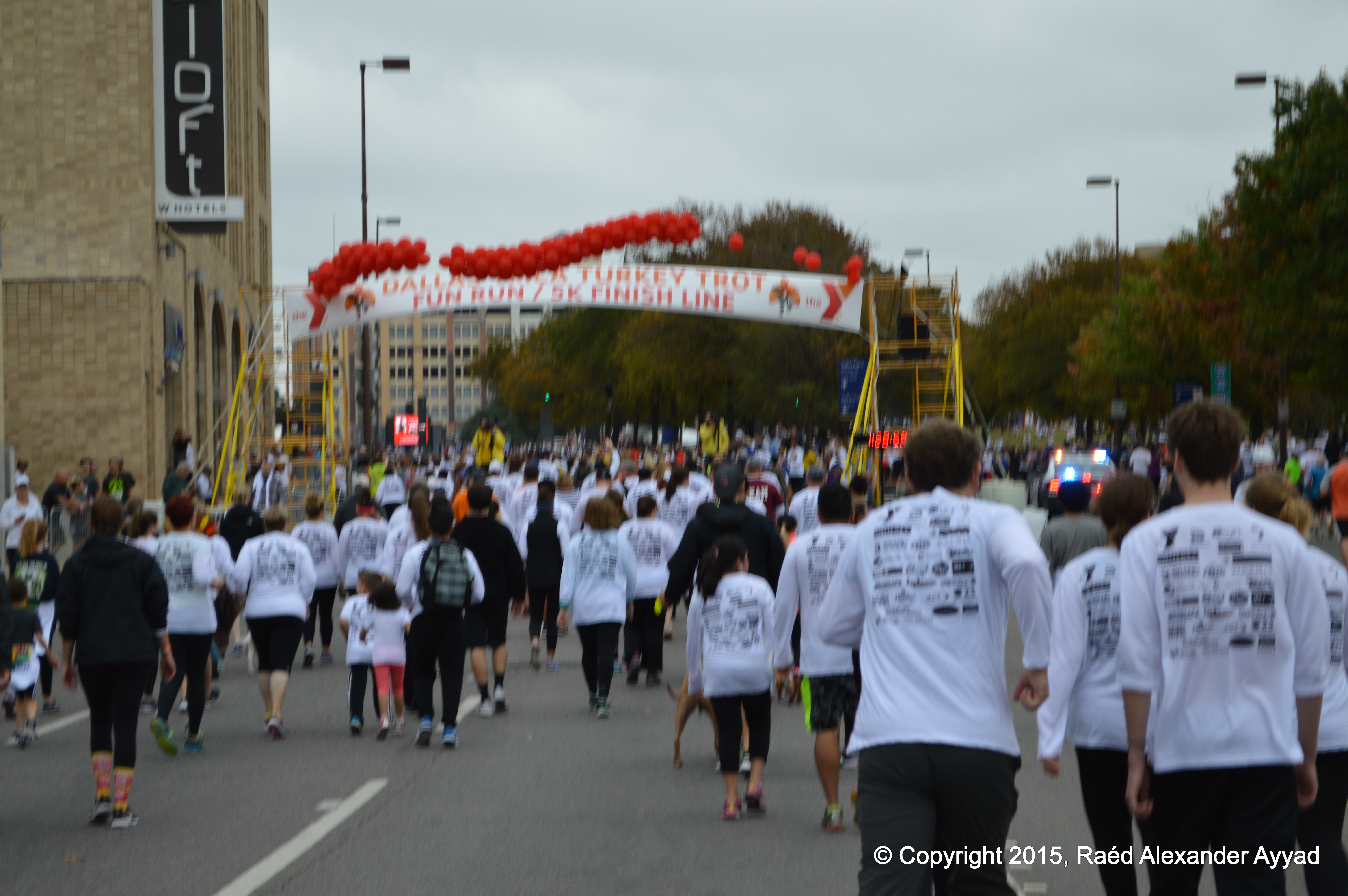
to do! [lol]... but, I was somewhat ready for that :-p ... I walked fast
most of the time, and eventually calmly cruised over the finish-line
threshold while
taking photos to the exhilarating end!
After all
this excitement, I left to prepare myself to spend the rest of this day,
celebrating, with the family.
Next year, I
hope that you will decide to participate in this event, and if you do make
this choice, let me know! Perhaps we can put a group together. I hope that
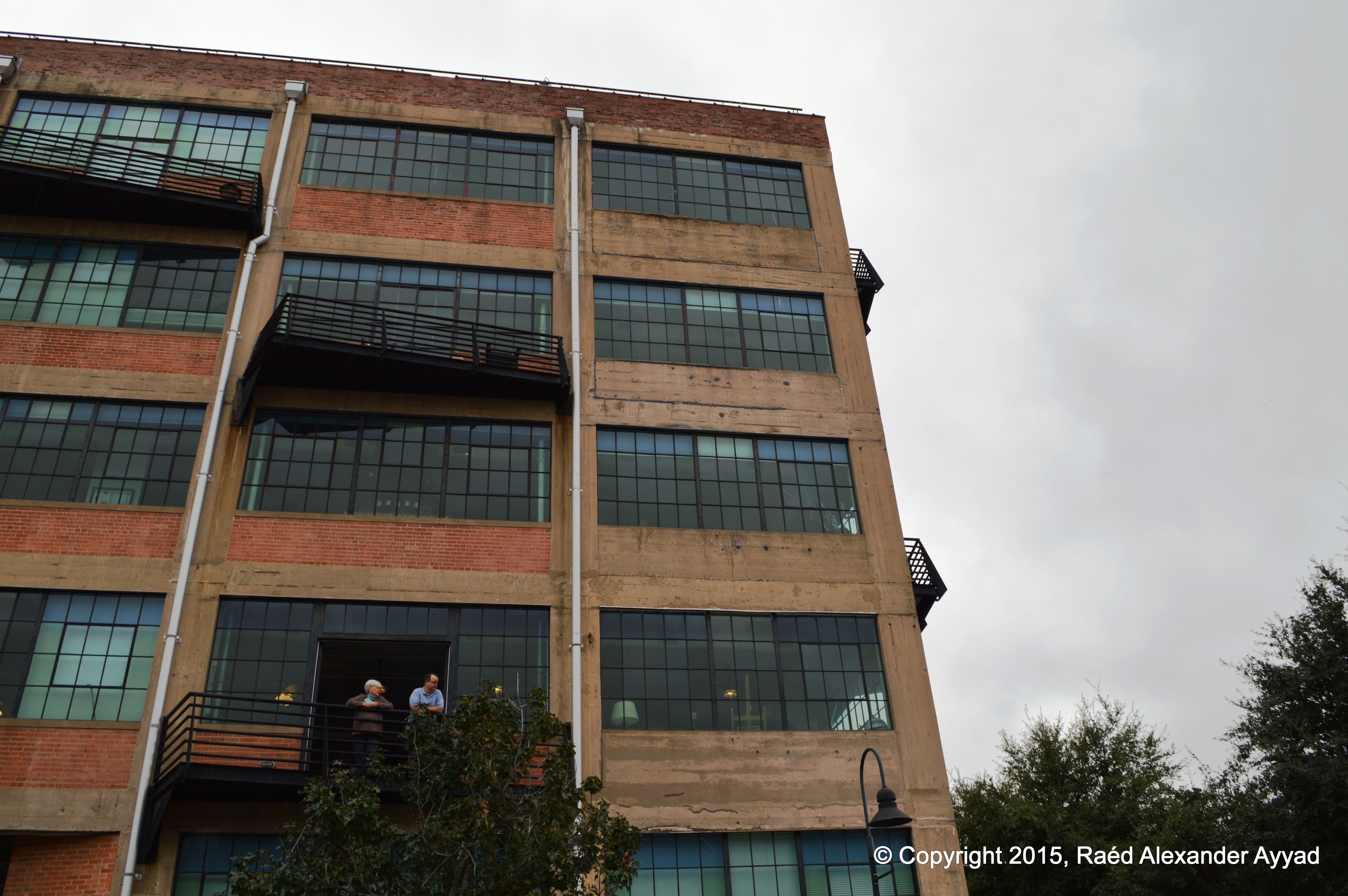
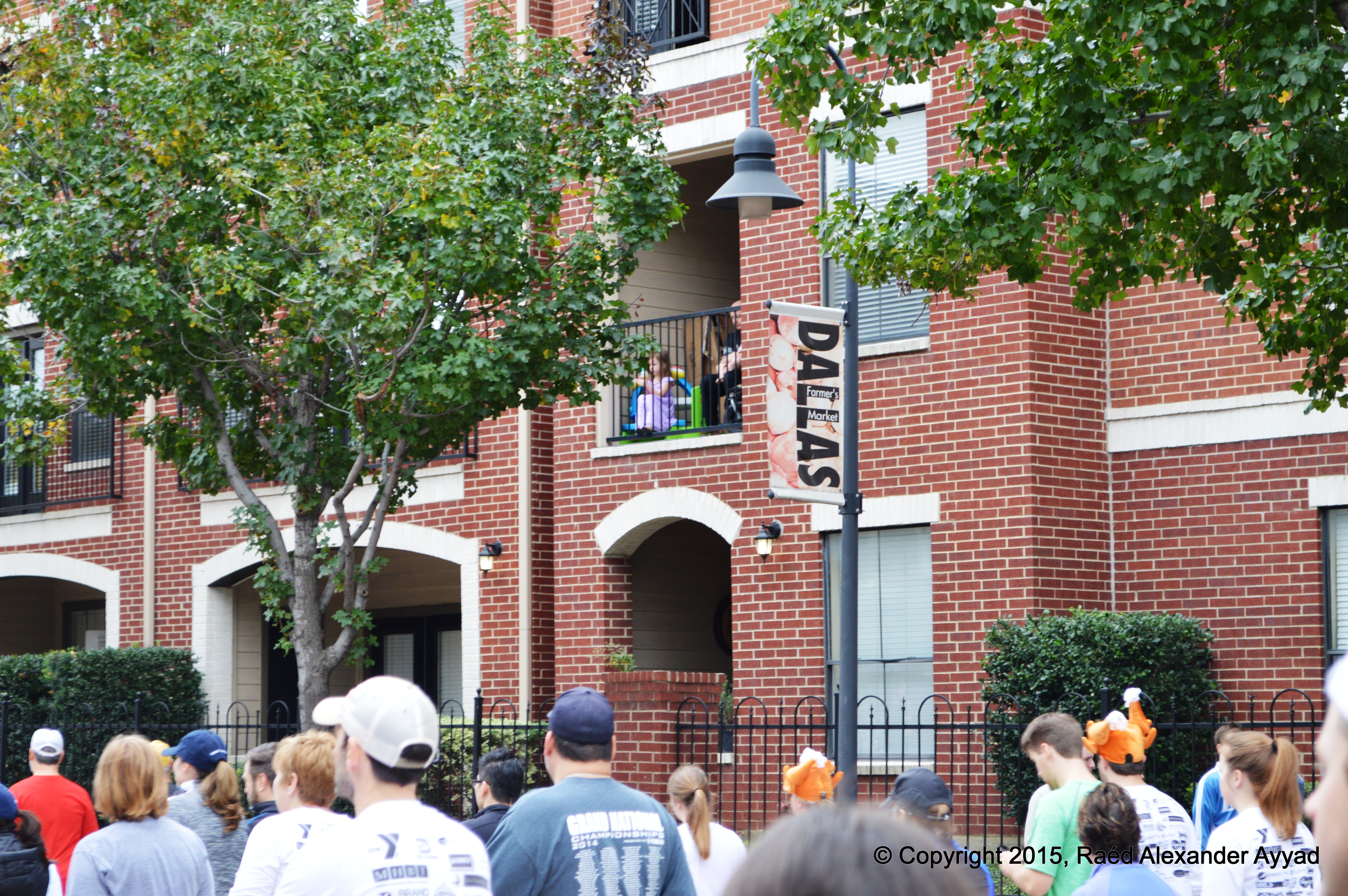
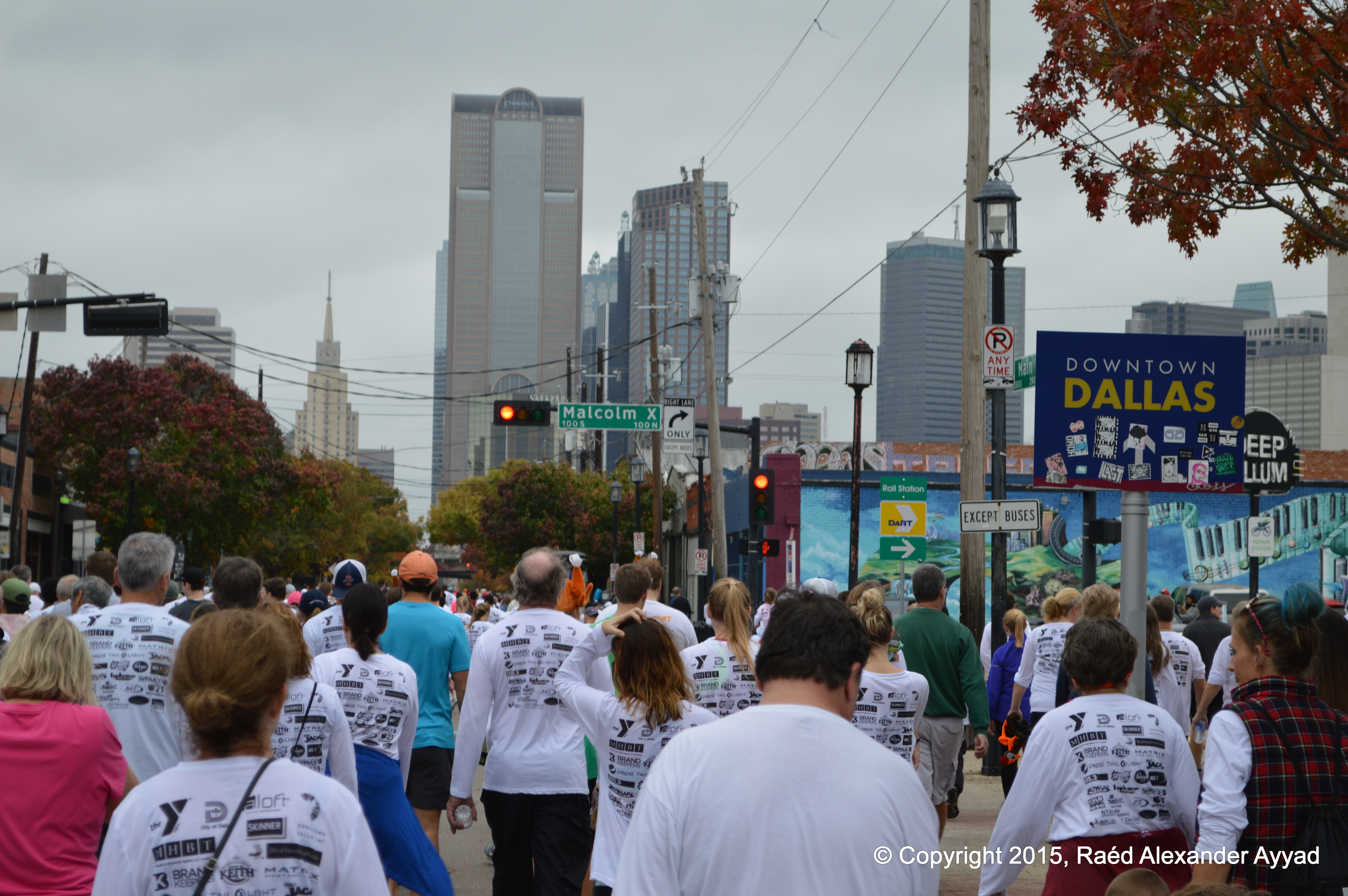
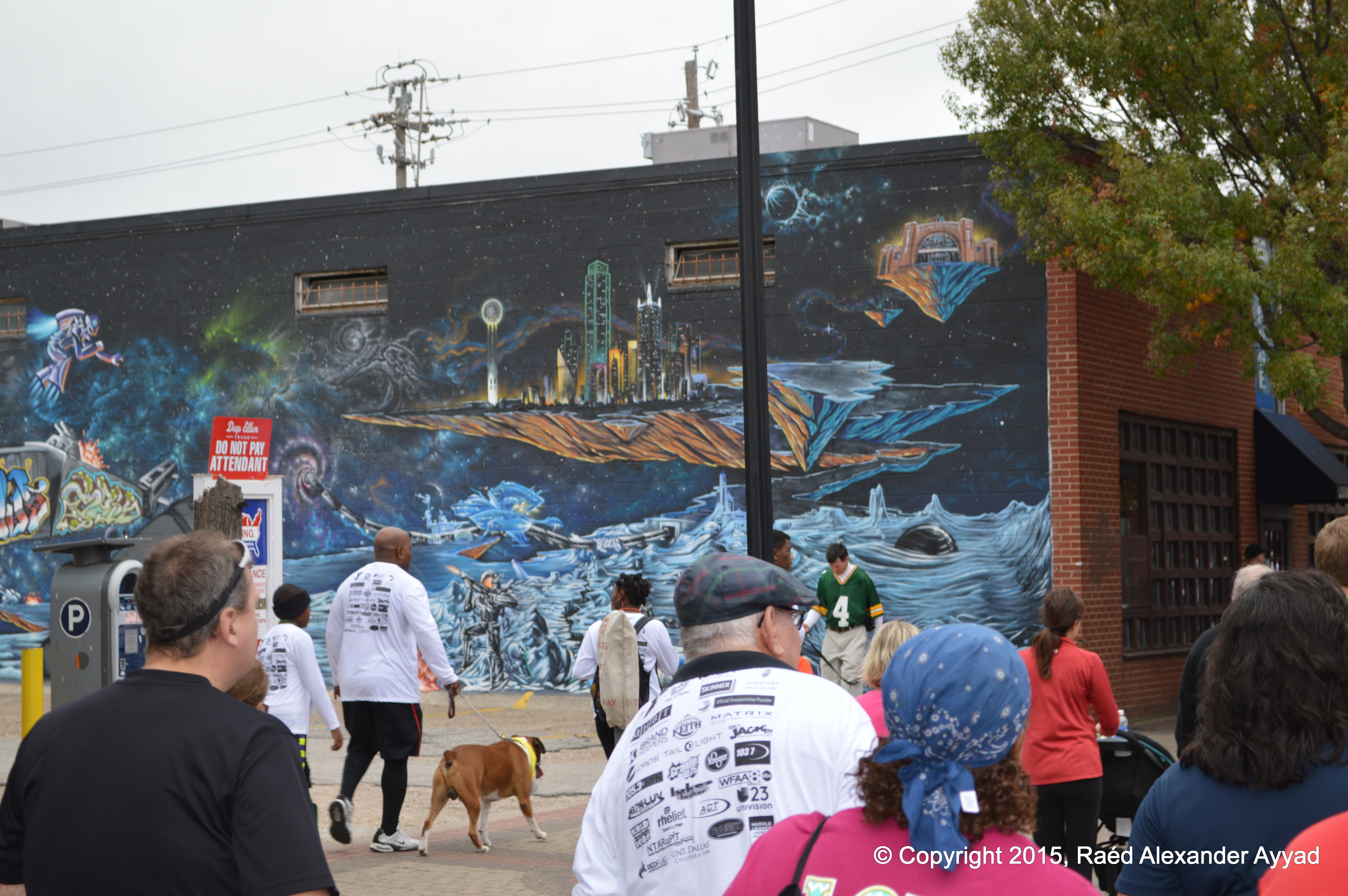
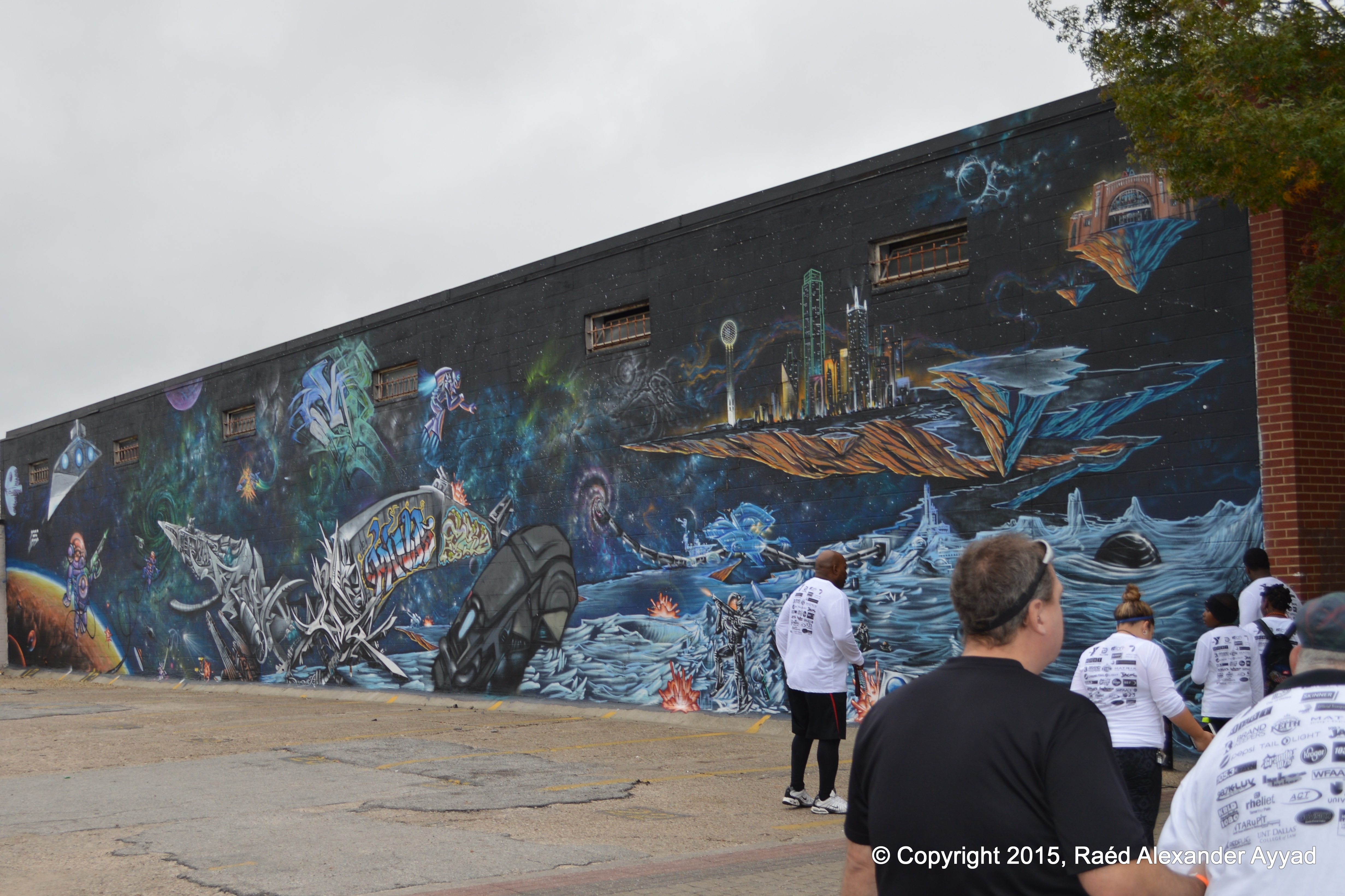
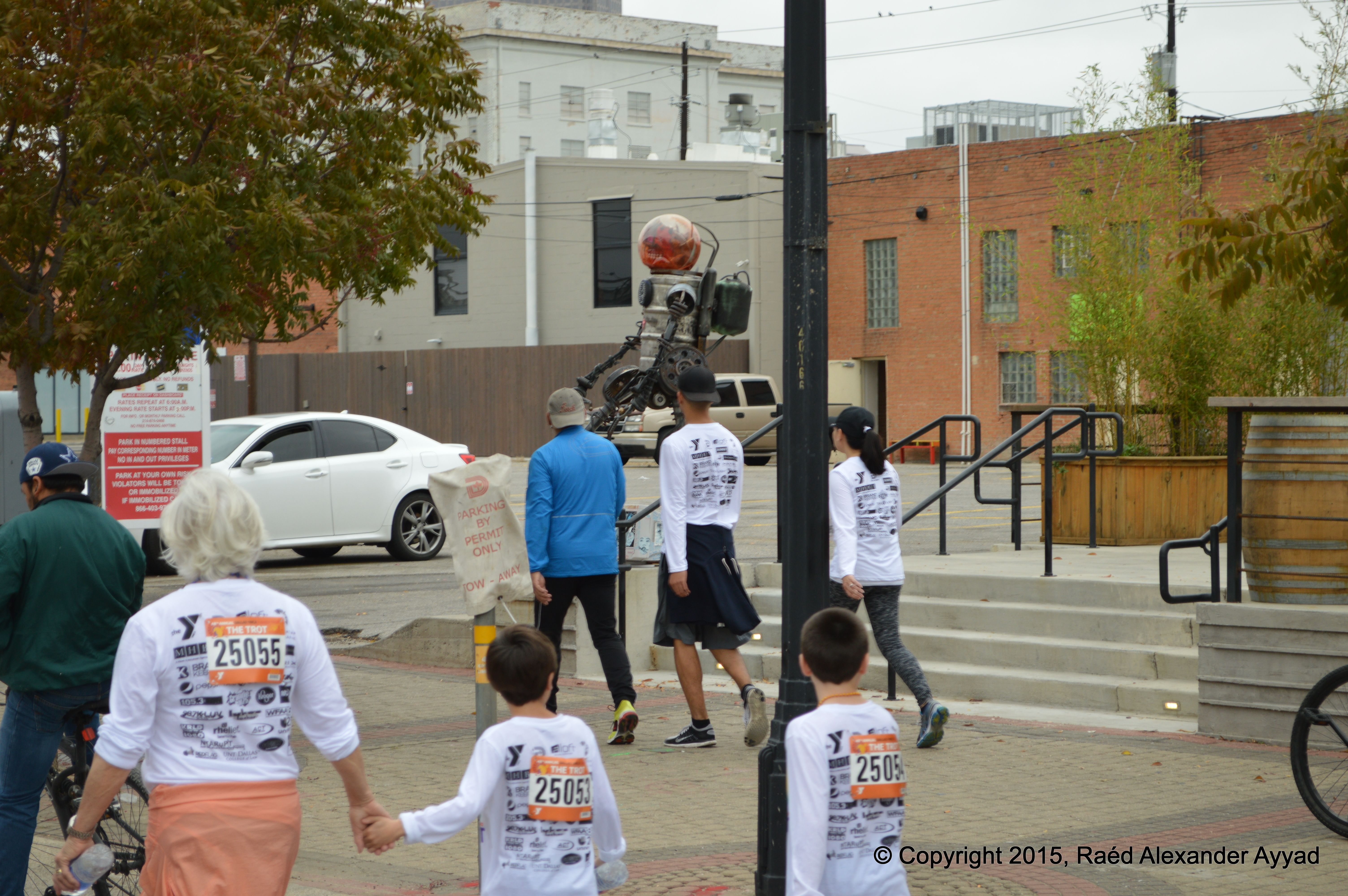
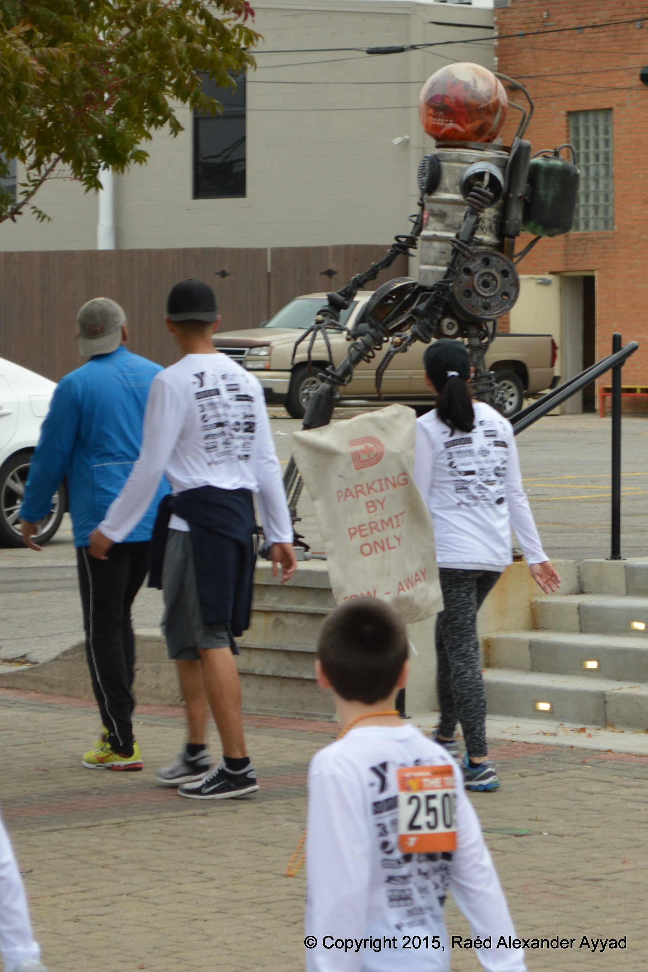
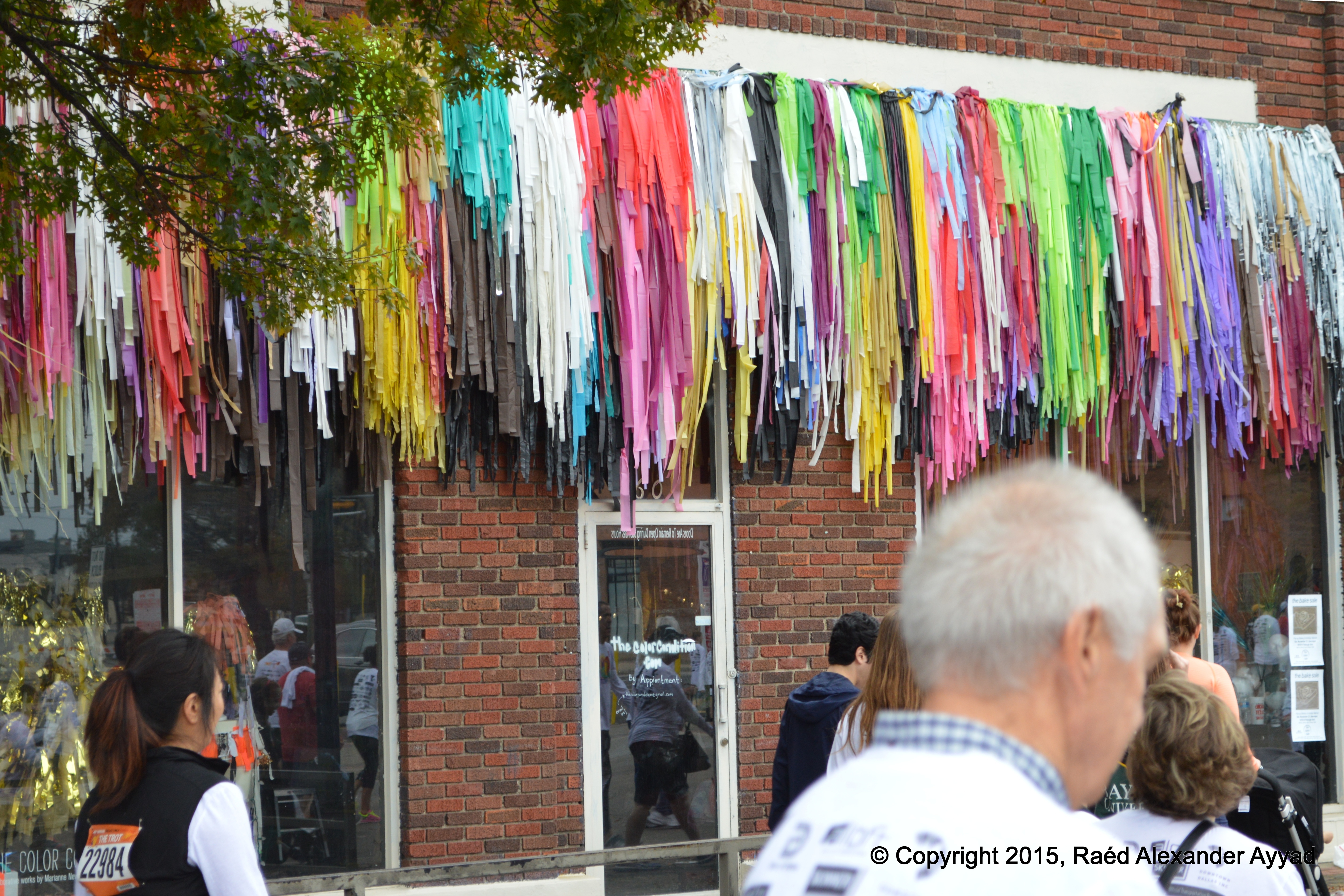
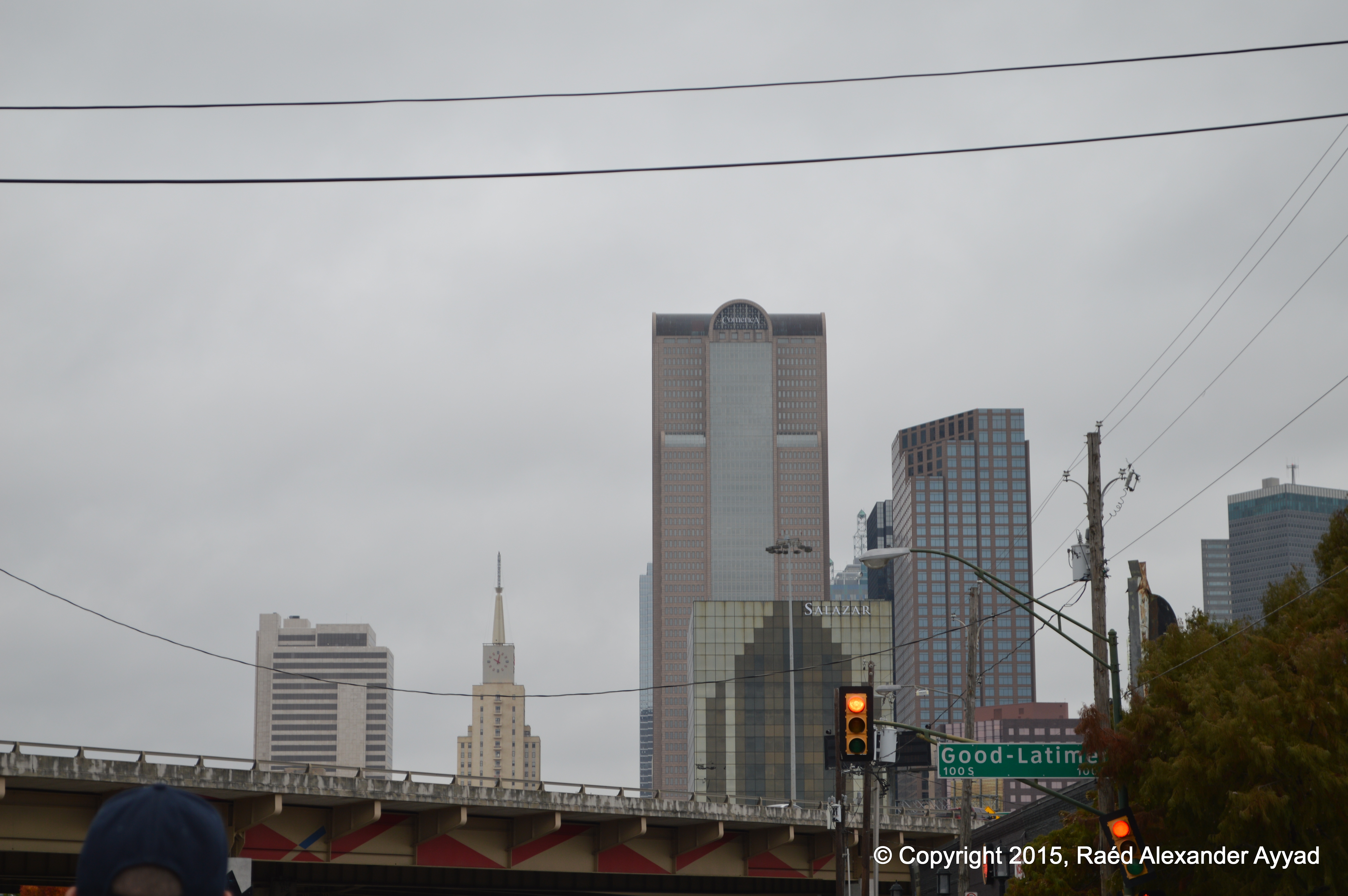
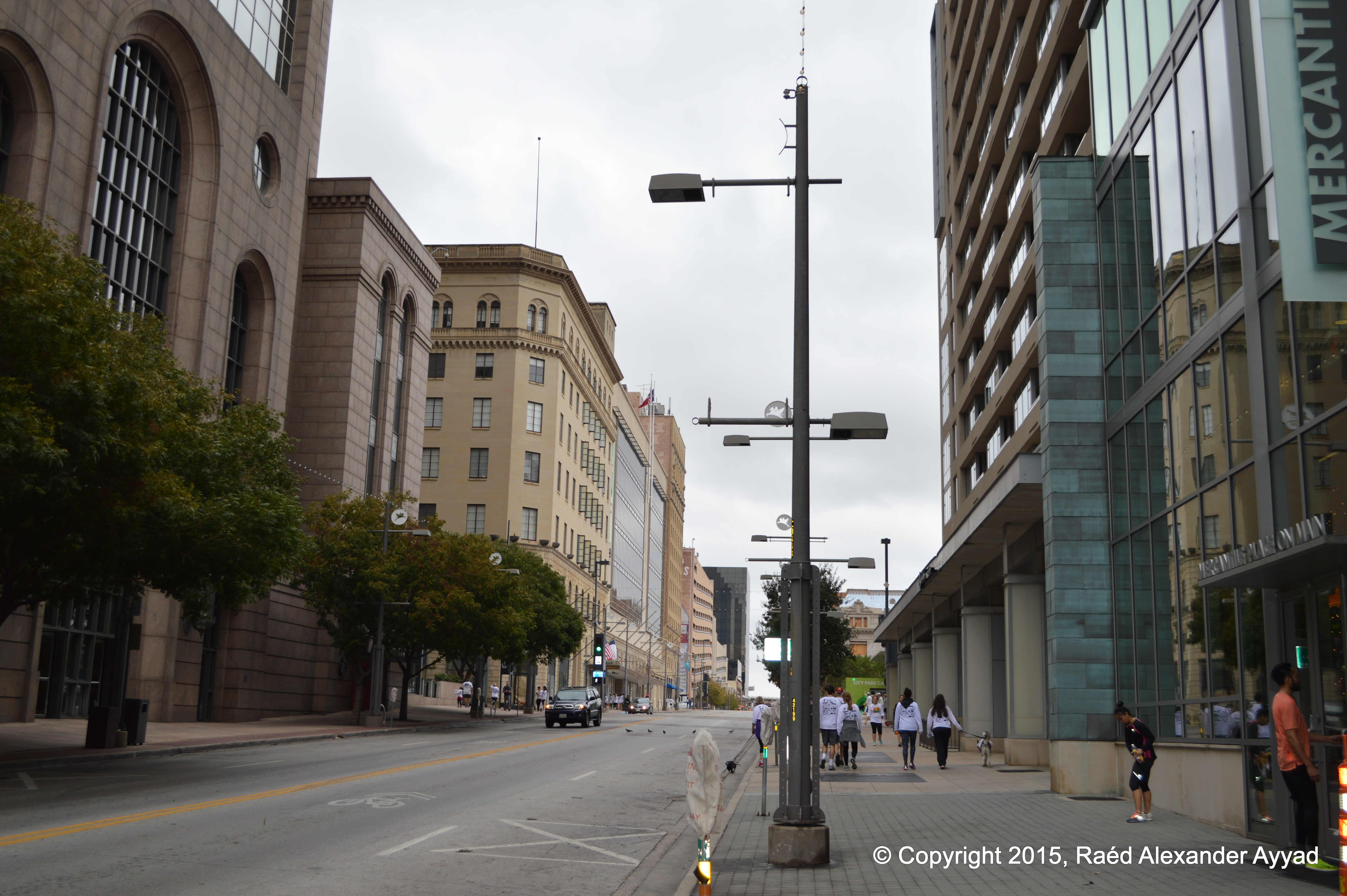
the pictures I took, and have shared with you below, will give you a good
idea of what the experience was like, the size of the event, and also give
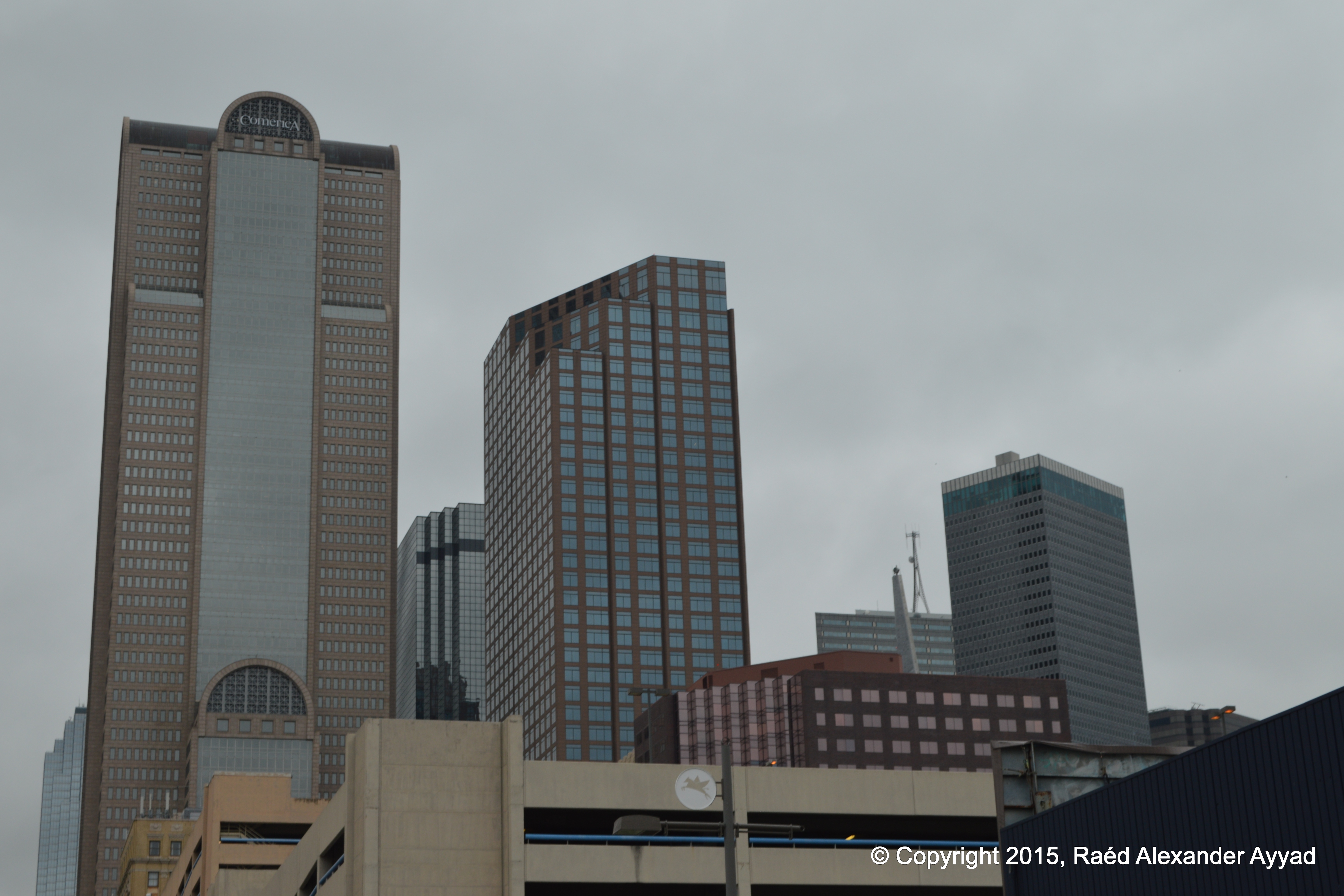
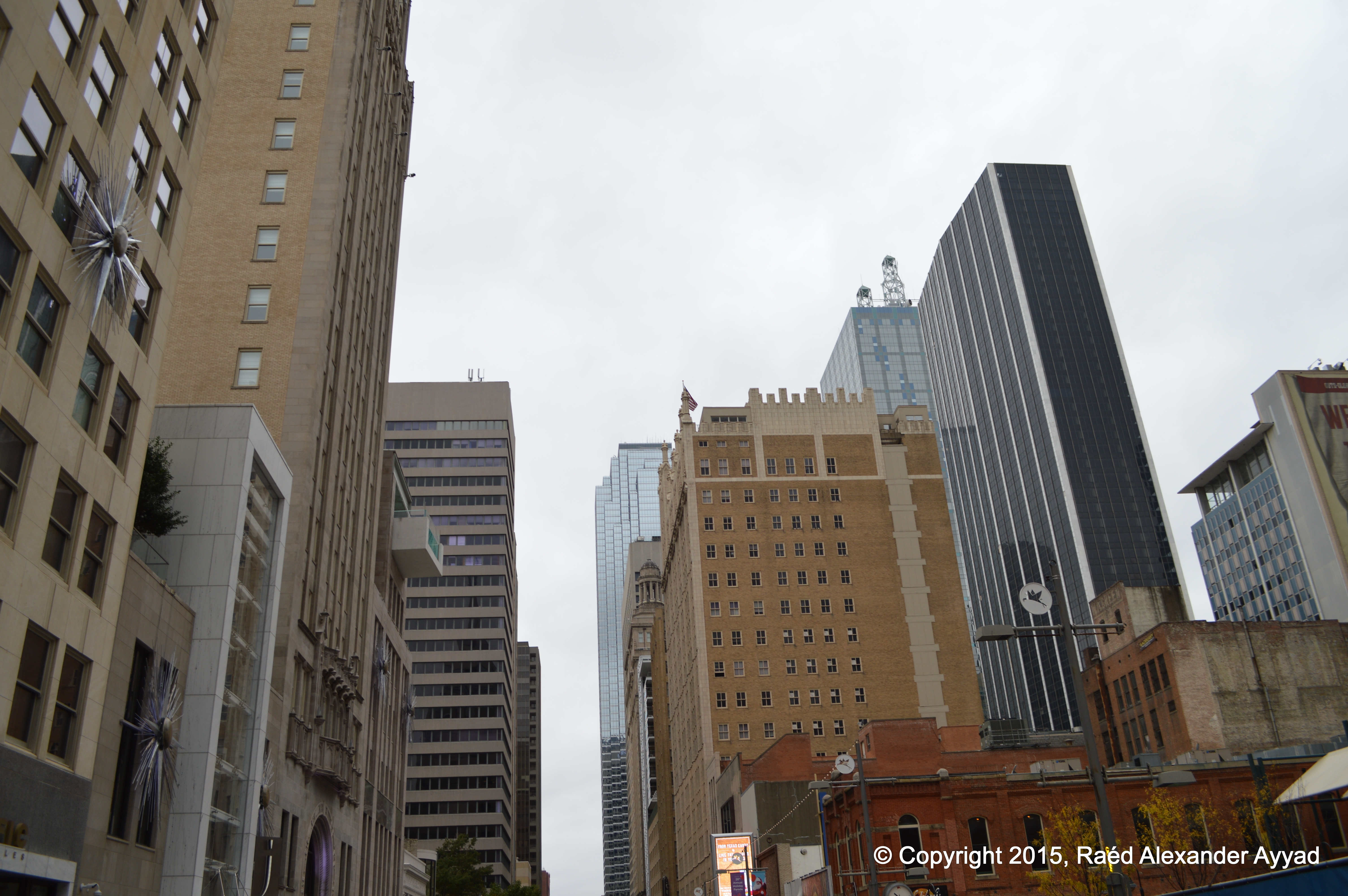
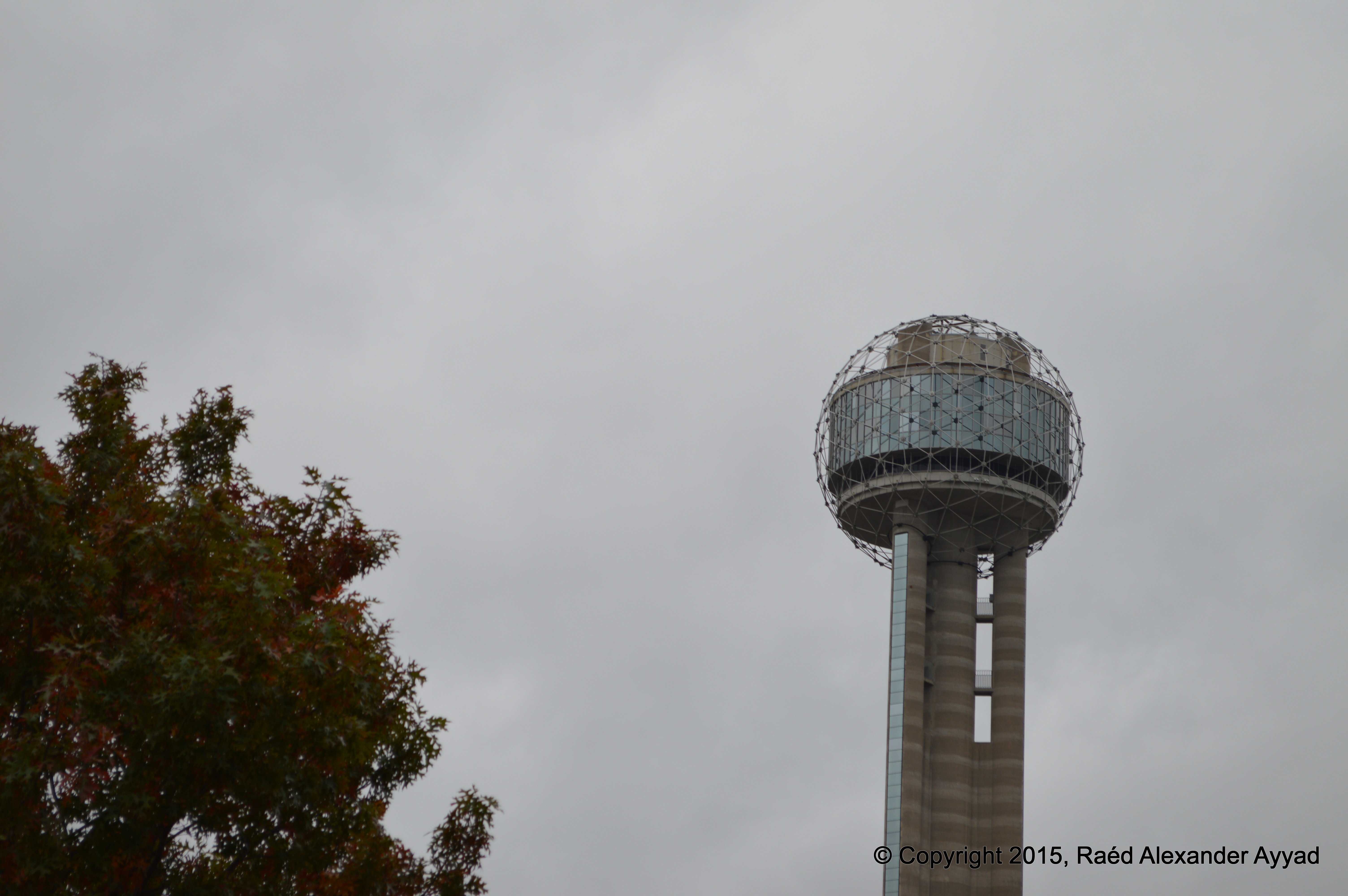
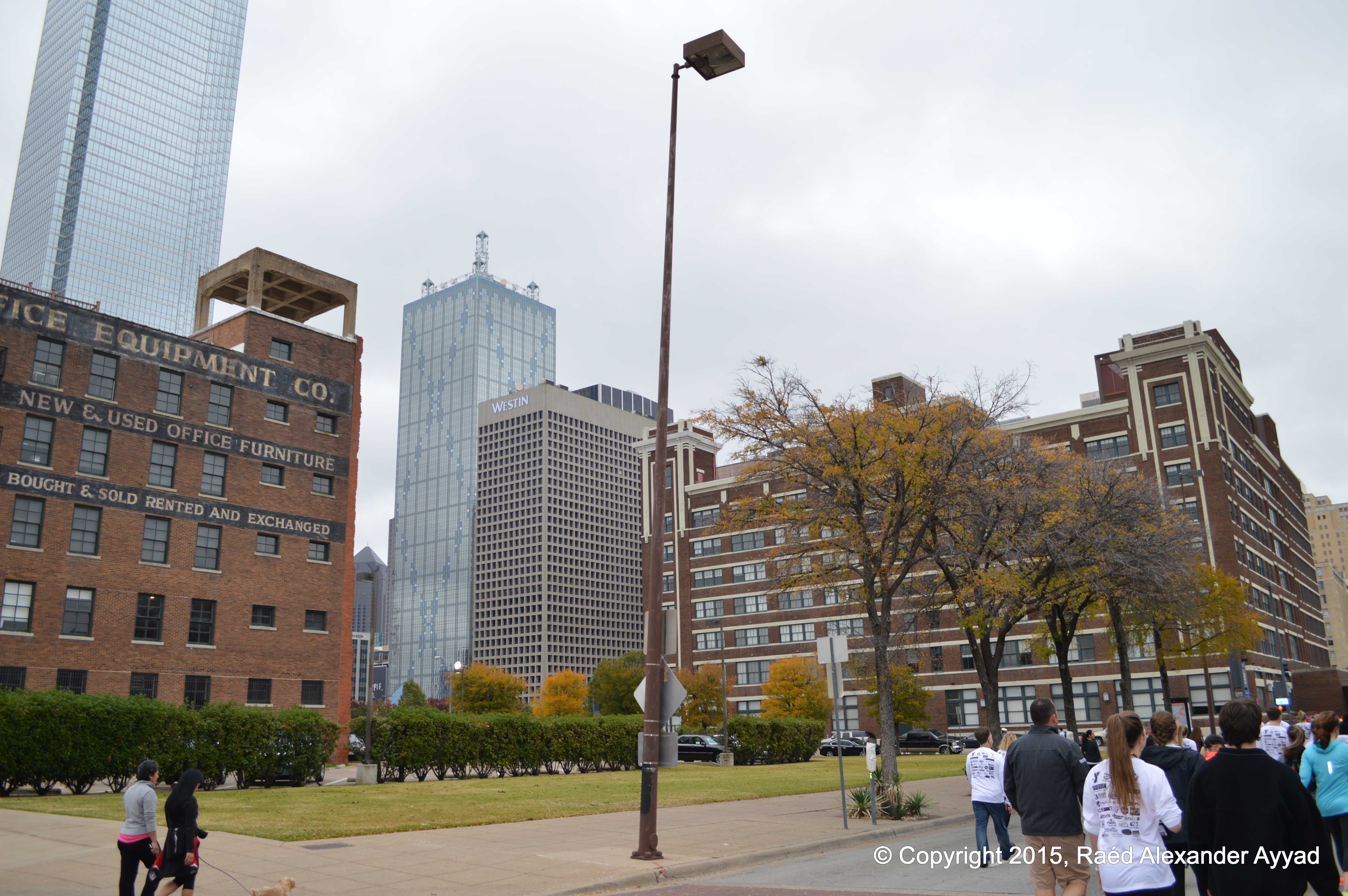
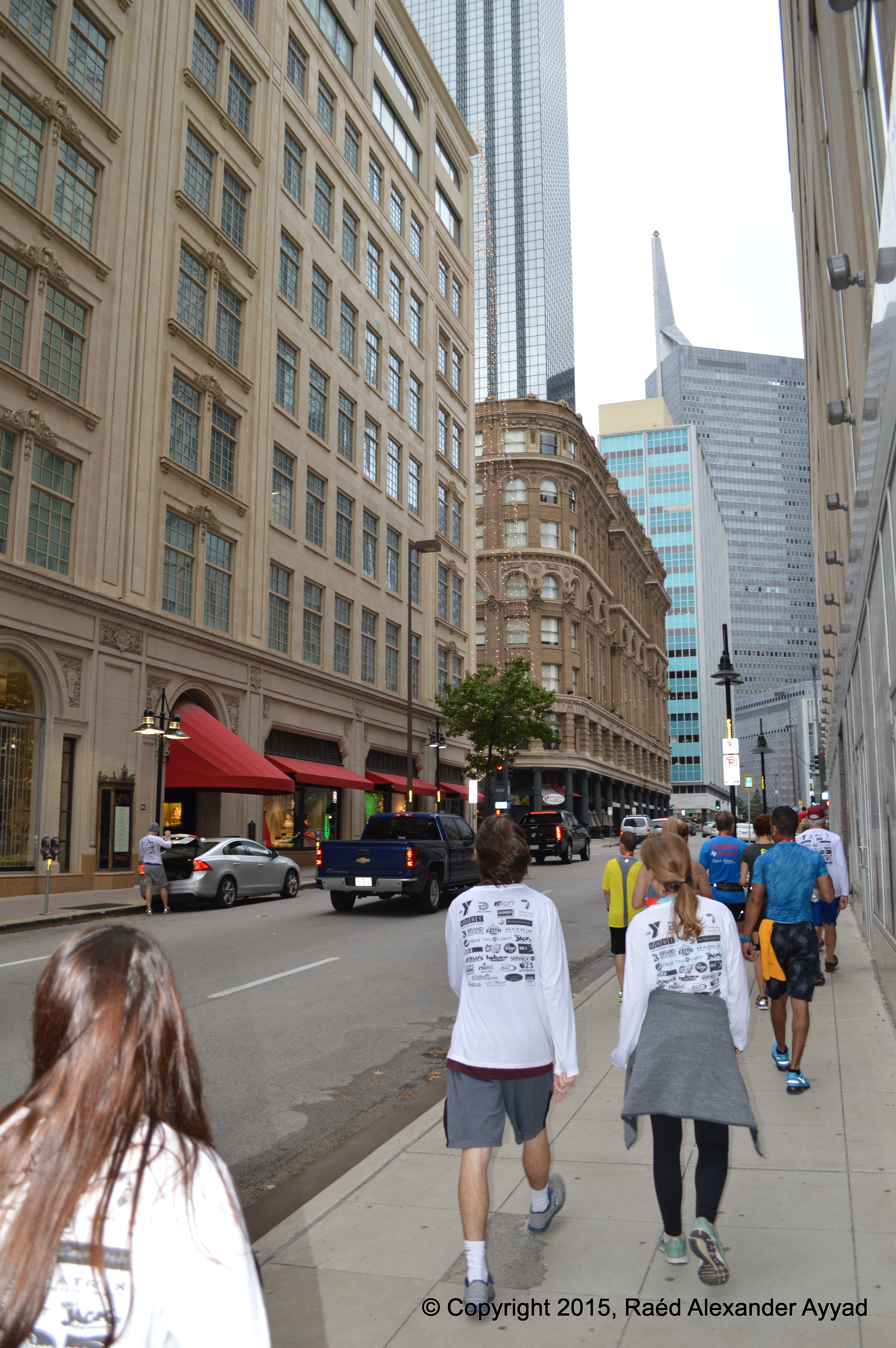
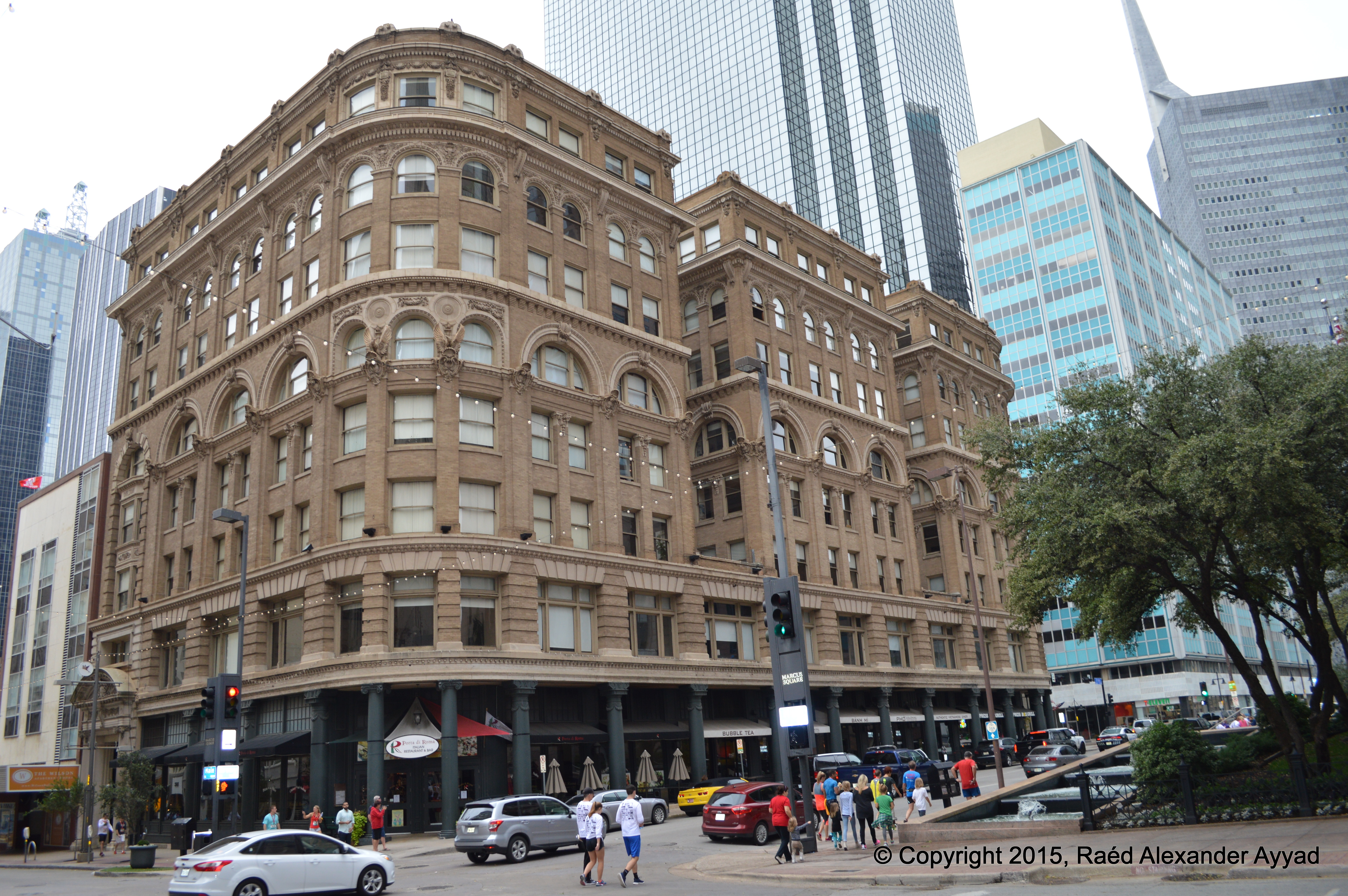
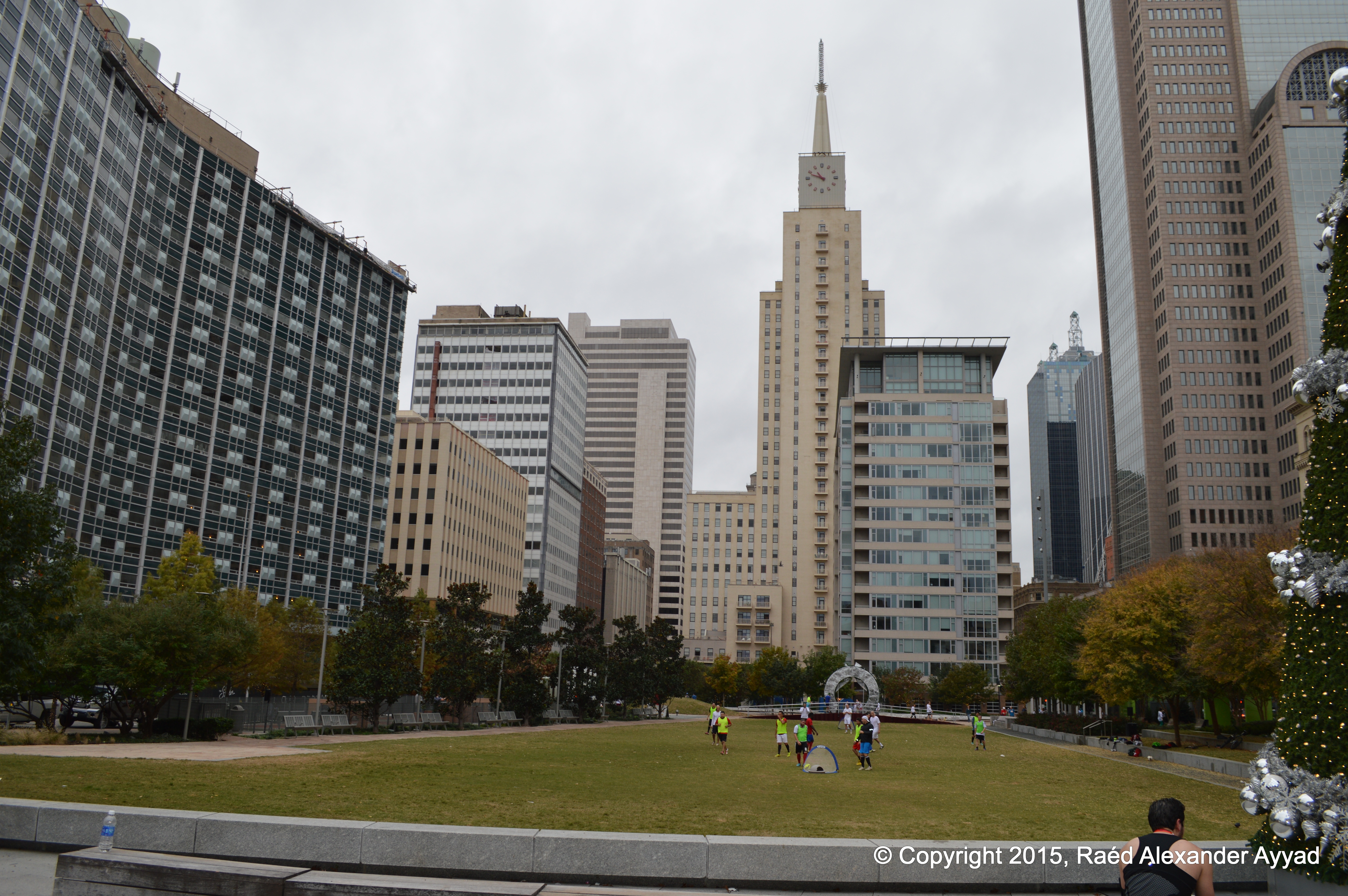
you a humble idea about what a part of the downtown of our fair city of
Dallas looks like
If you are
one of those many wonderful people who would like to fly-in to visit North
Texas, tour the region, and and participate in this event, you have many
options! The most obvious to many is via commercial aviation, but if you
have the option to fly GA, why don't you?! Dallas has several well
serviced airports, and is surrounded with many more within a radius of
20-30mi (~30-min drive). Here are some that you can look up on your charts:
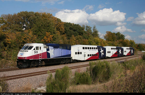
Copyrights reserved to owner: Brandon Kilgore. Source: railpictures.net
I hope that
you will find this information useful... Be safe this Holiday Season!
... I will
post a video of the event once I have access to it.
Till next
year and another Turkey Trot!
By the way, if you
decide to share any of the images on this page/website, feel free to do so, BUT please
do not modify, and give
credit to the site and note the copyright.
Flying into Dallas Love Field (DAL) -Courtesy of: Daniel Troxel
Well, this was one event I was not aware of until almost the last
minute! A friend of mine, a supporter of The TPA's mission and a university
professor of Humanities, Dr. Jacqueline Smith, contacted and invite me to
attend; she had
planed an extracurricular cultural "field event" for her students, near 70 of them... how
could I turn her invitation down!
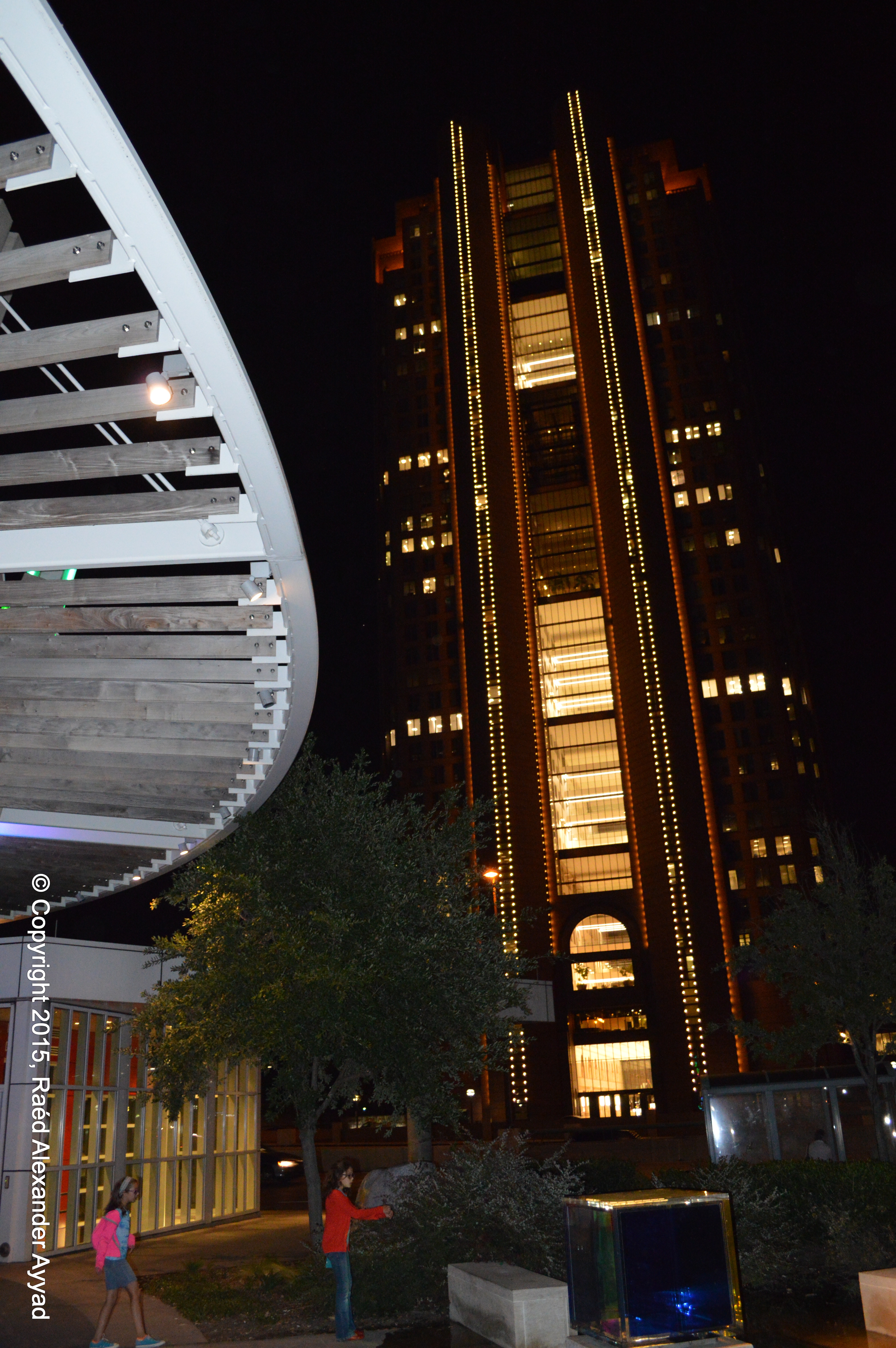
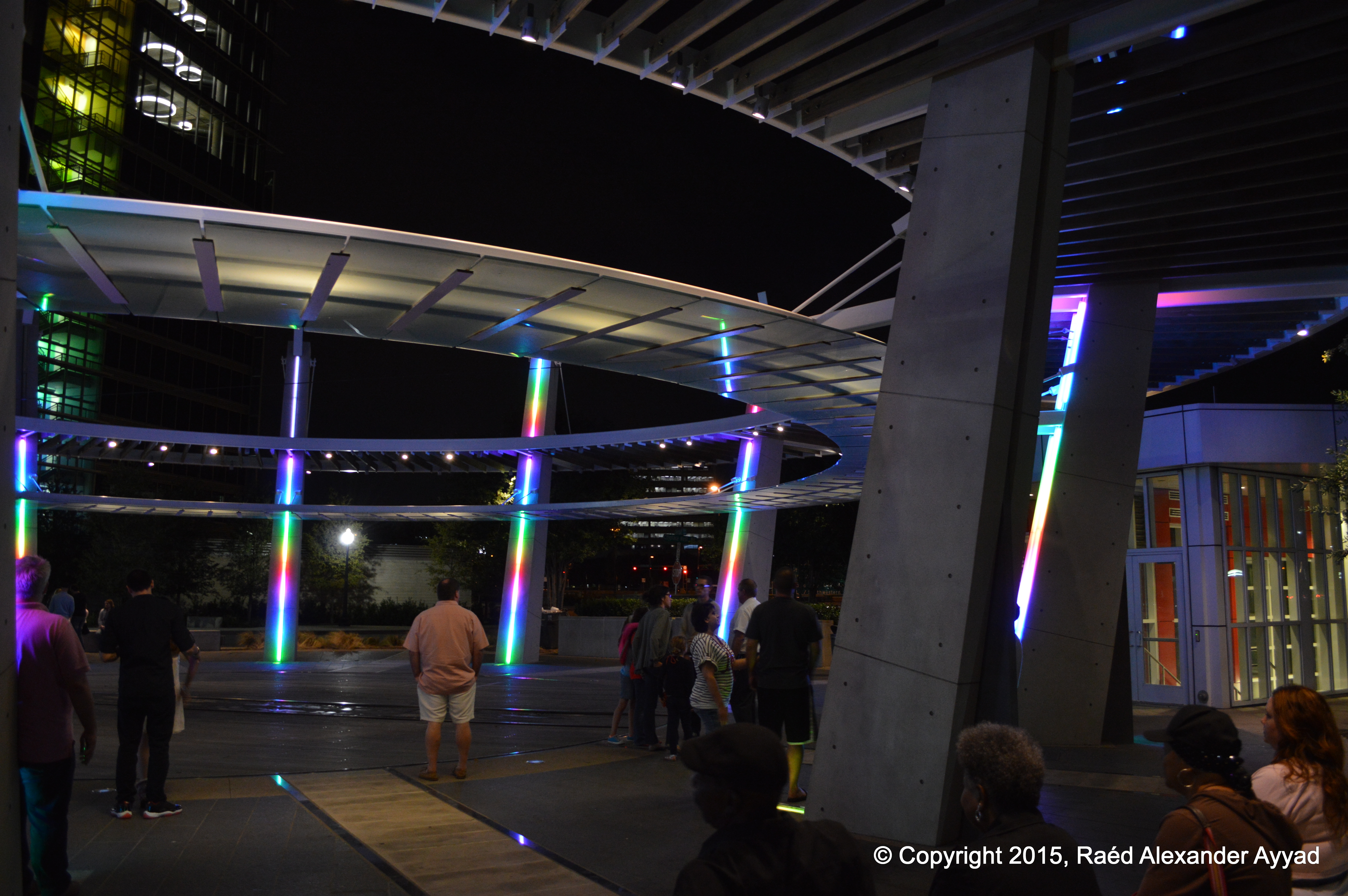
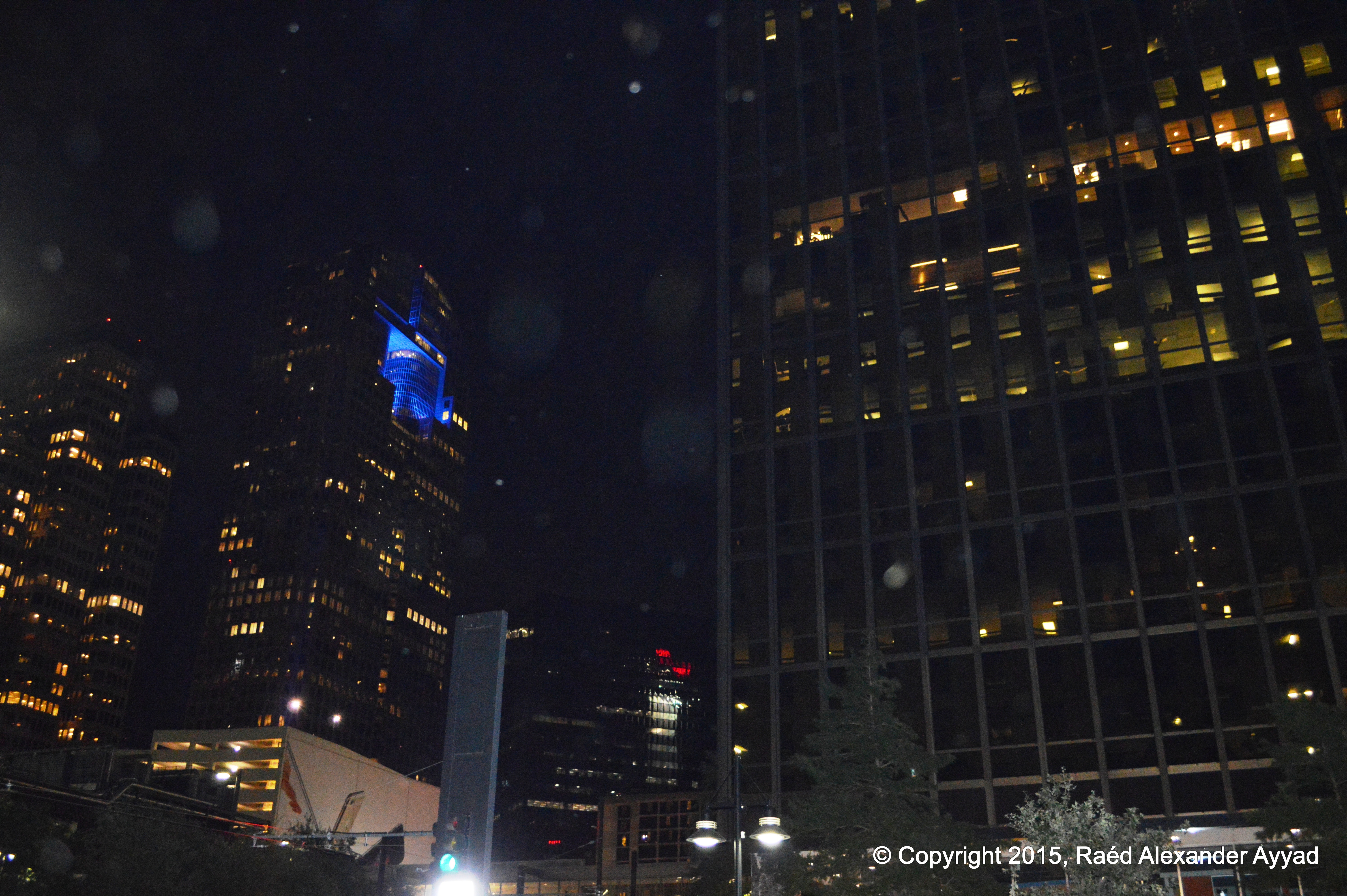
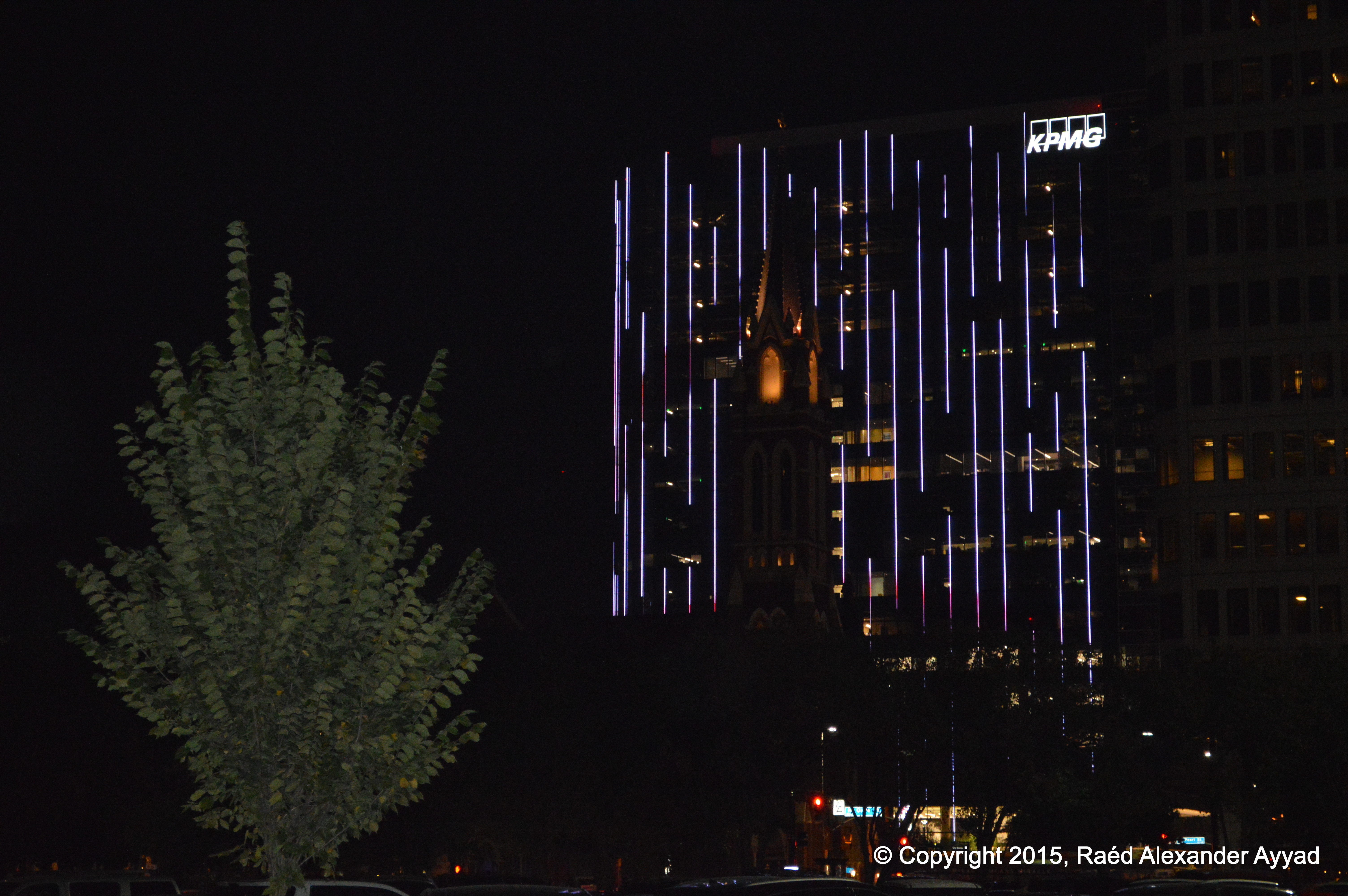
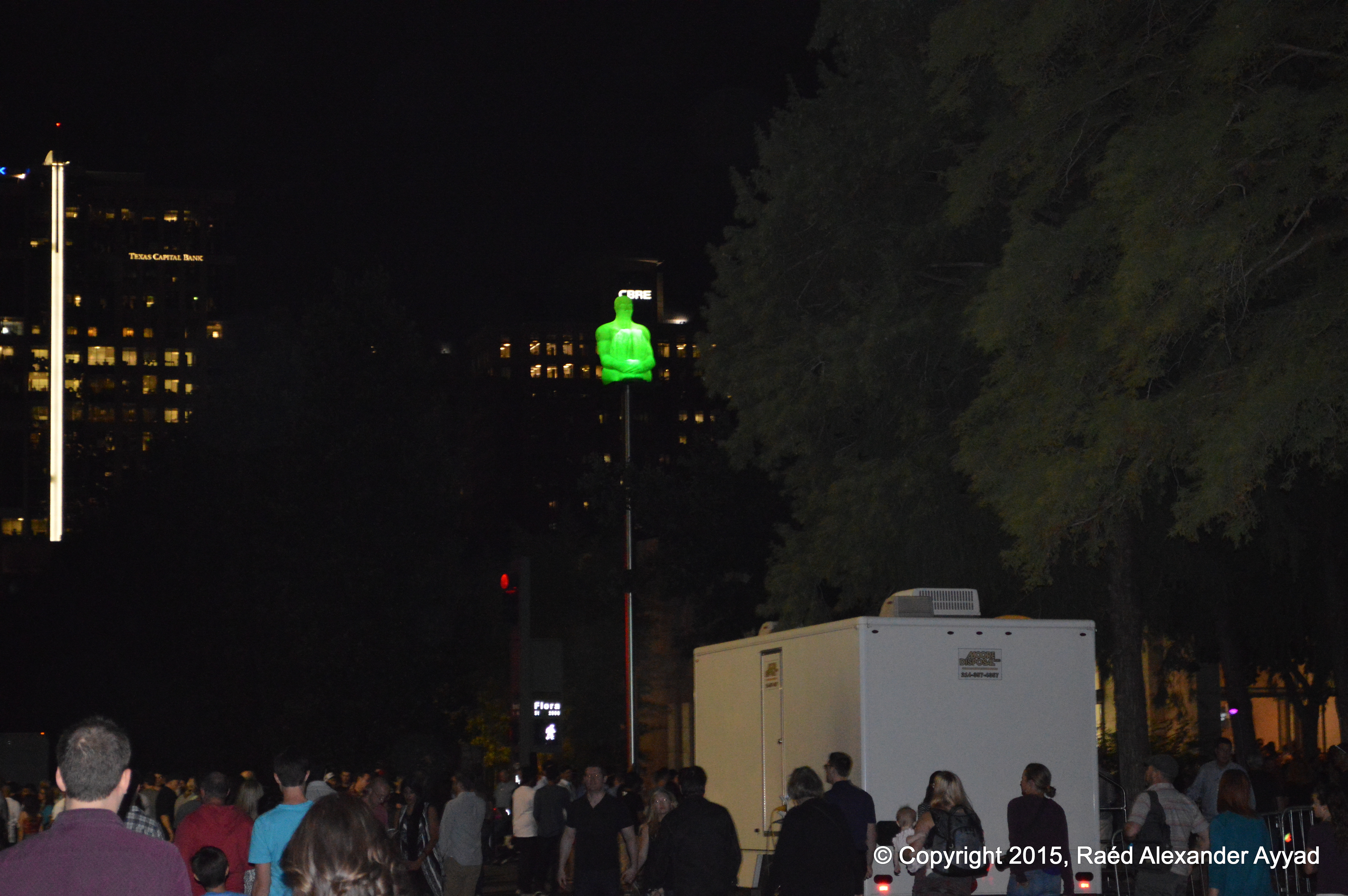
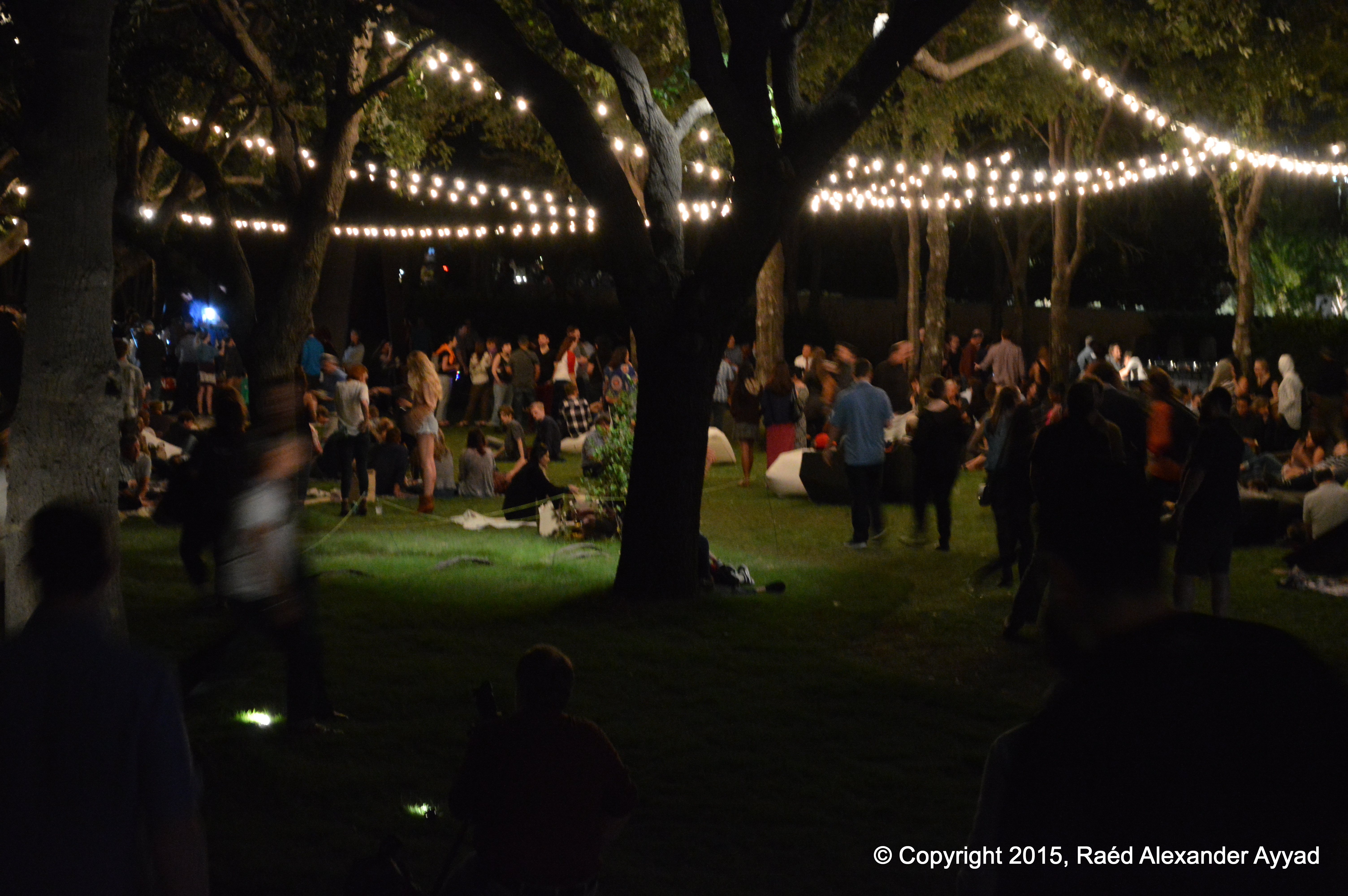
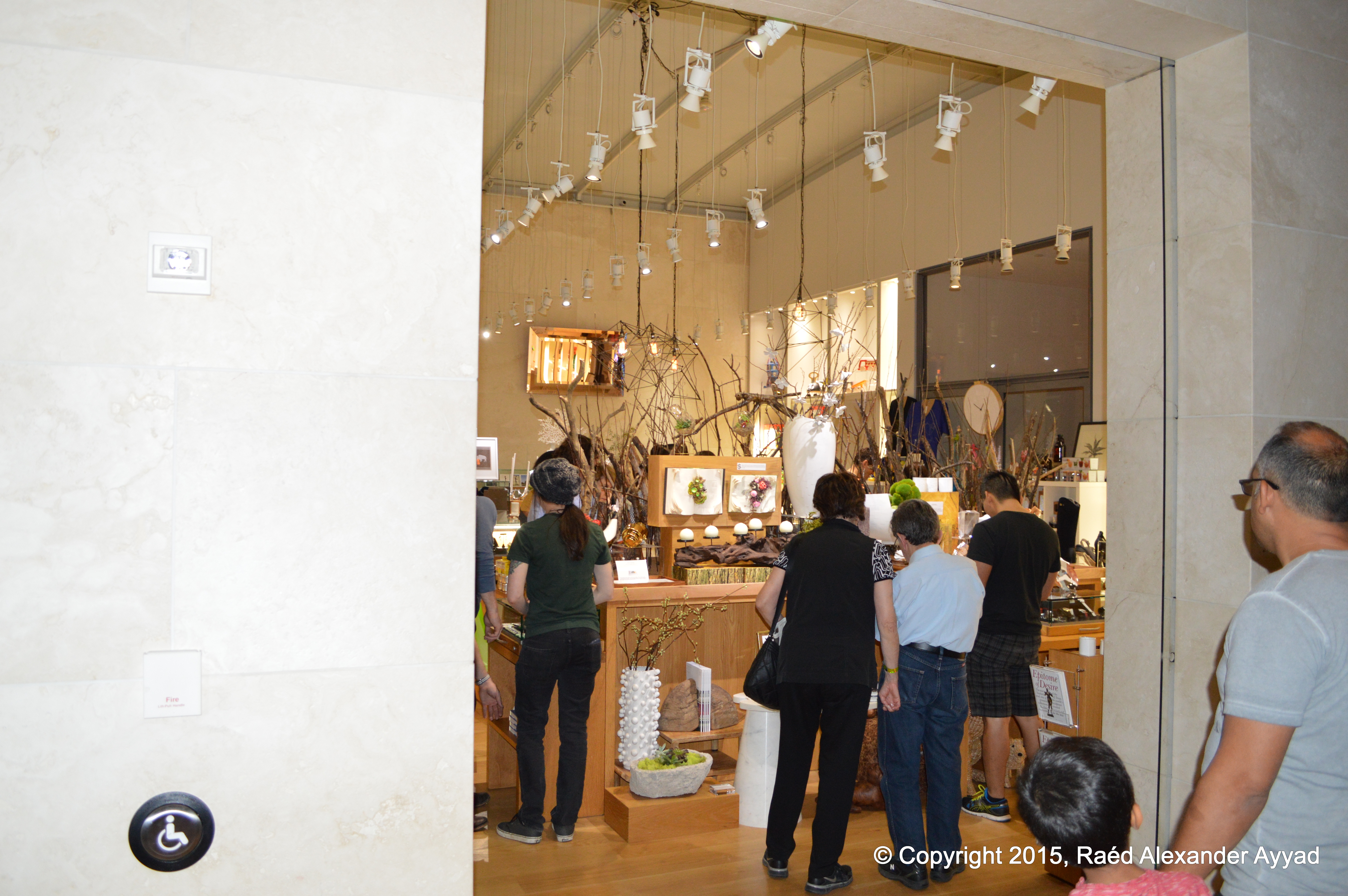
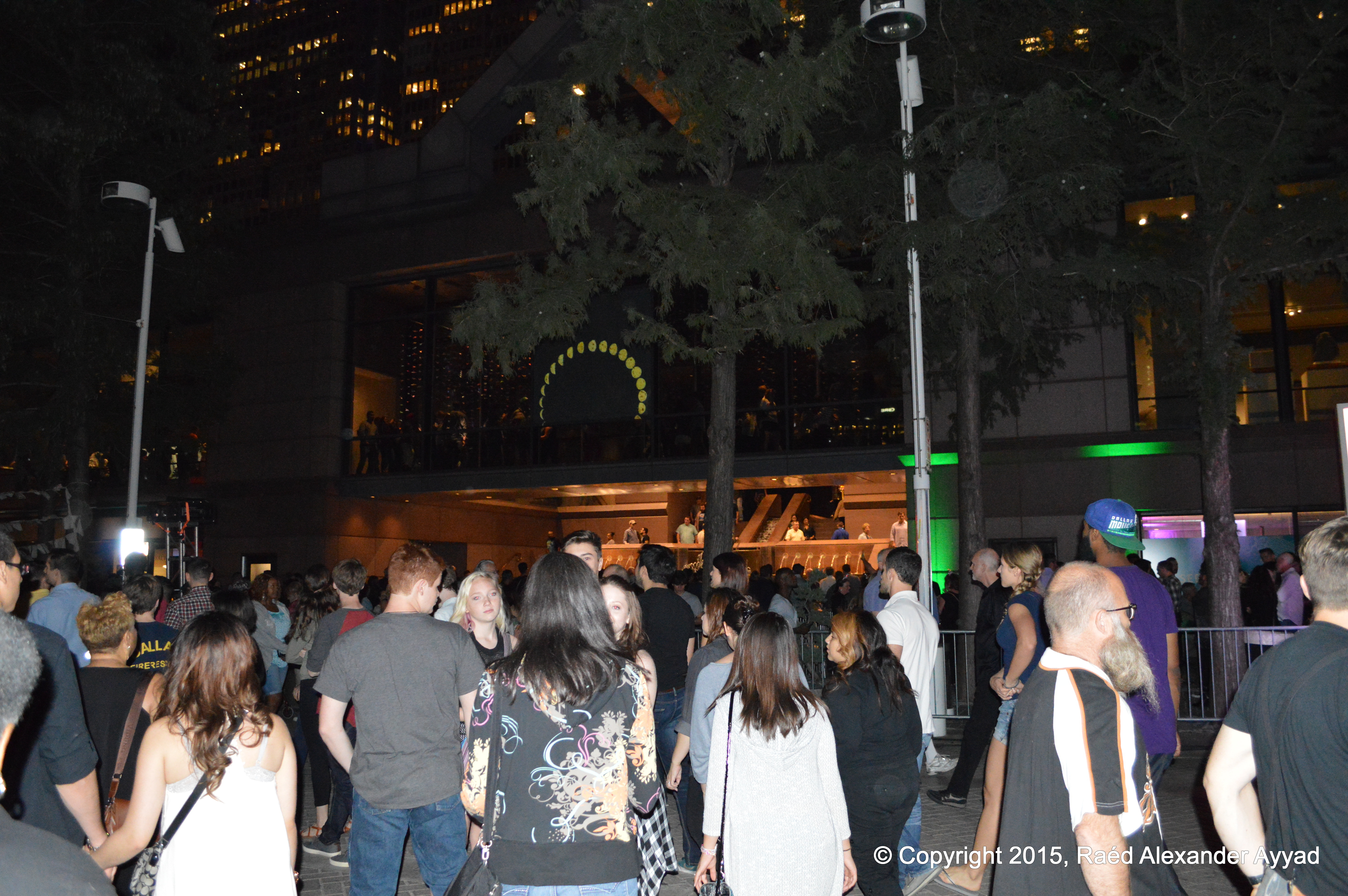
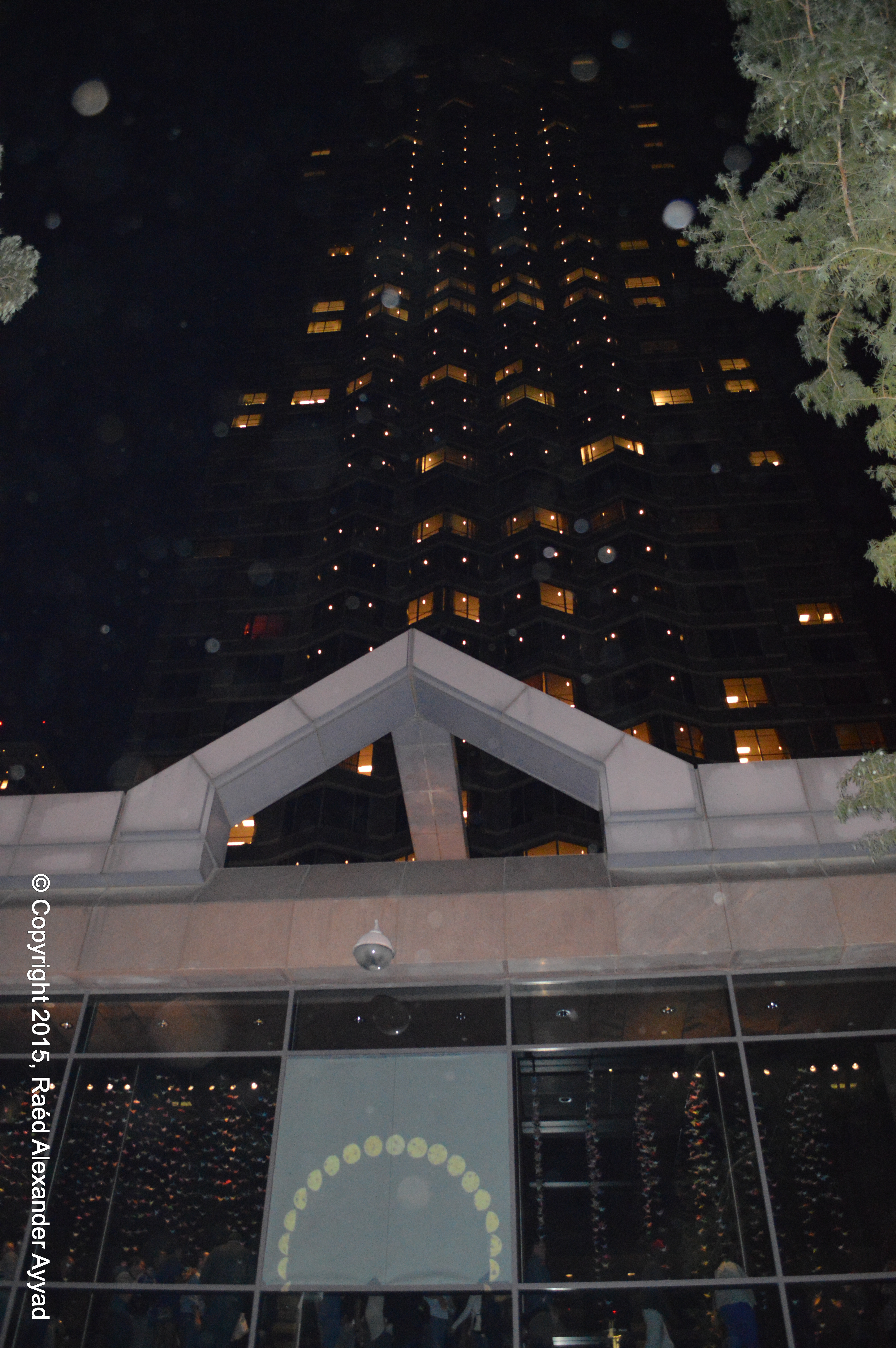
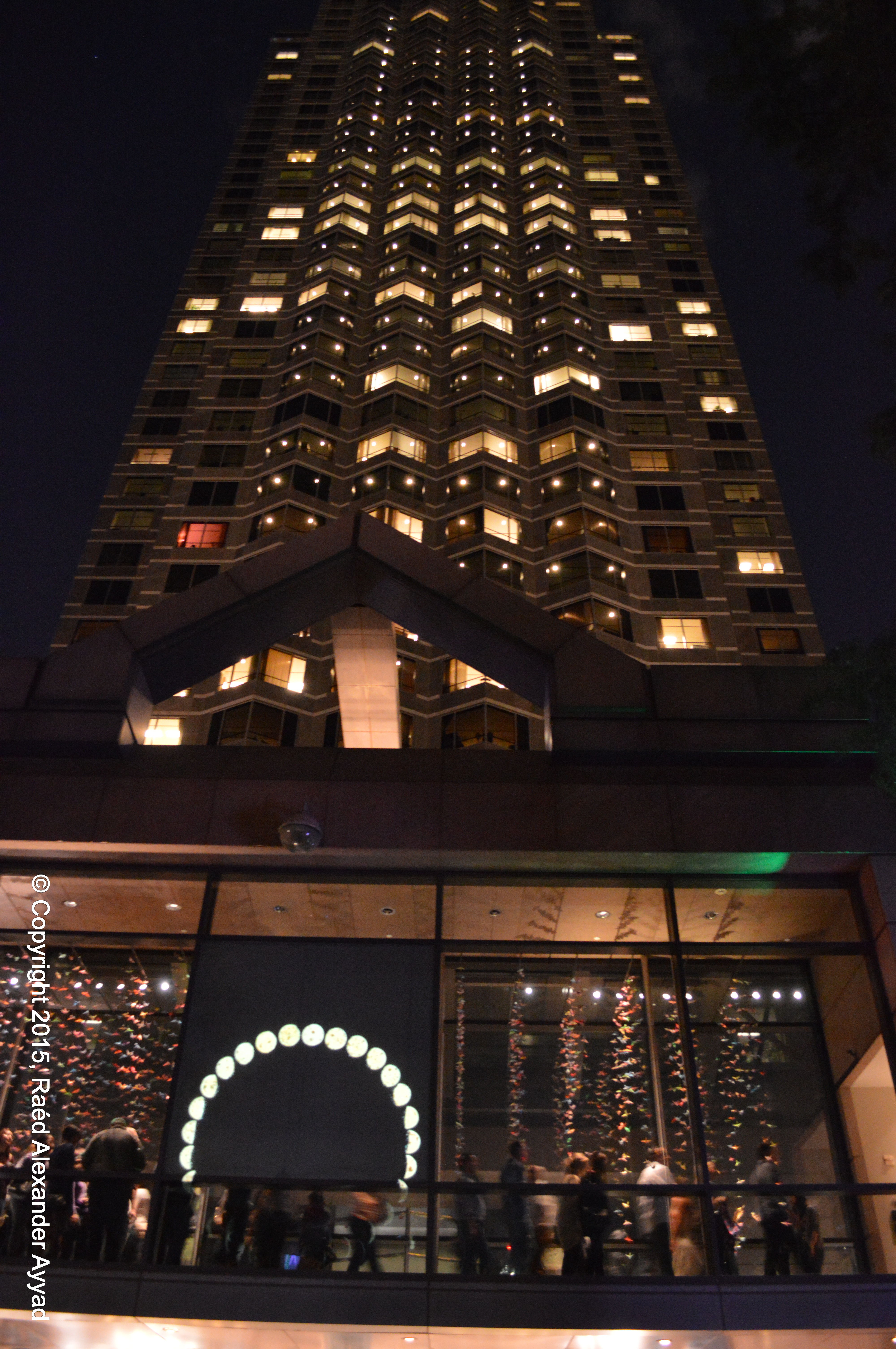
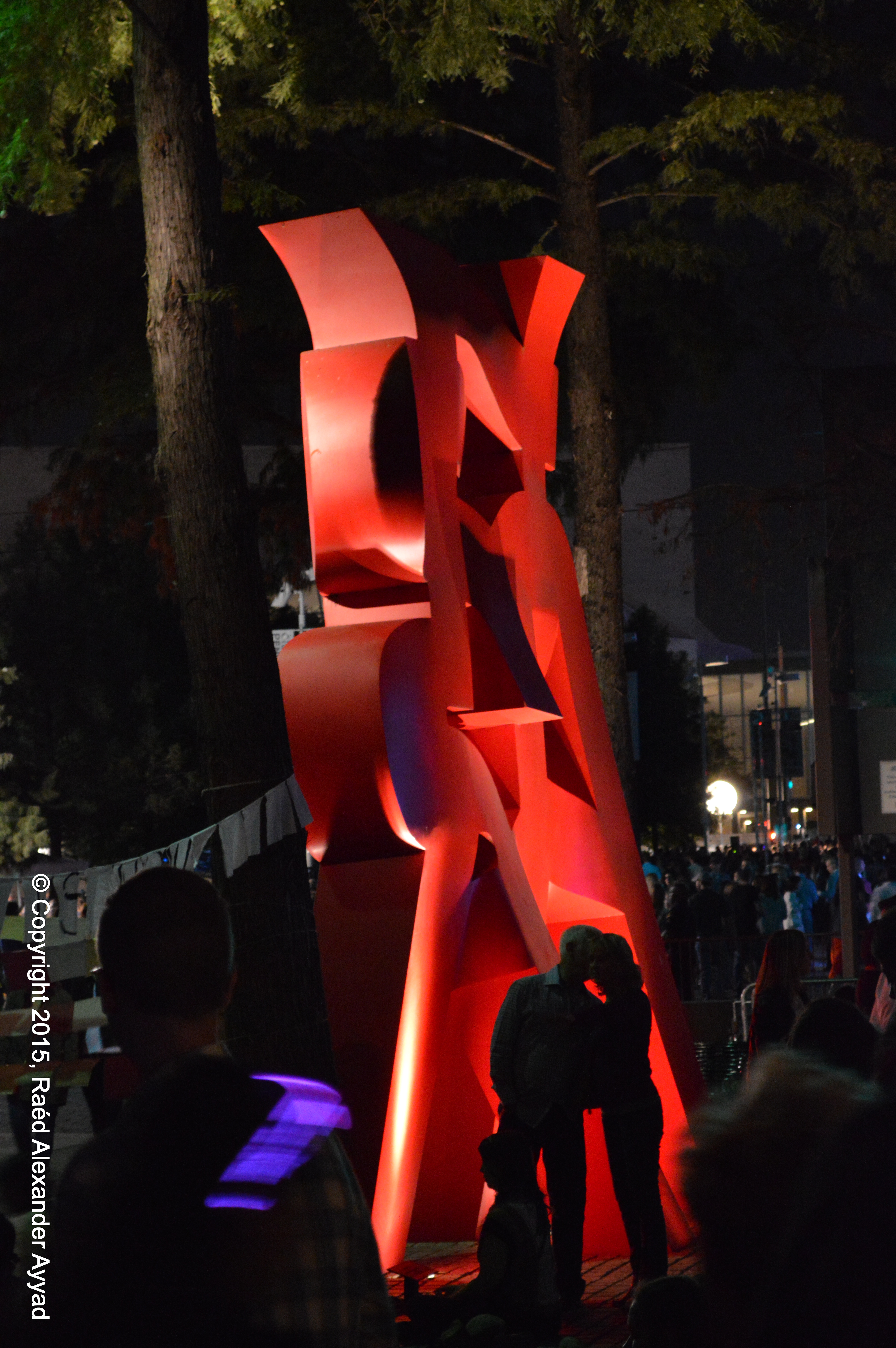
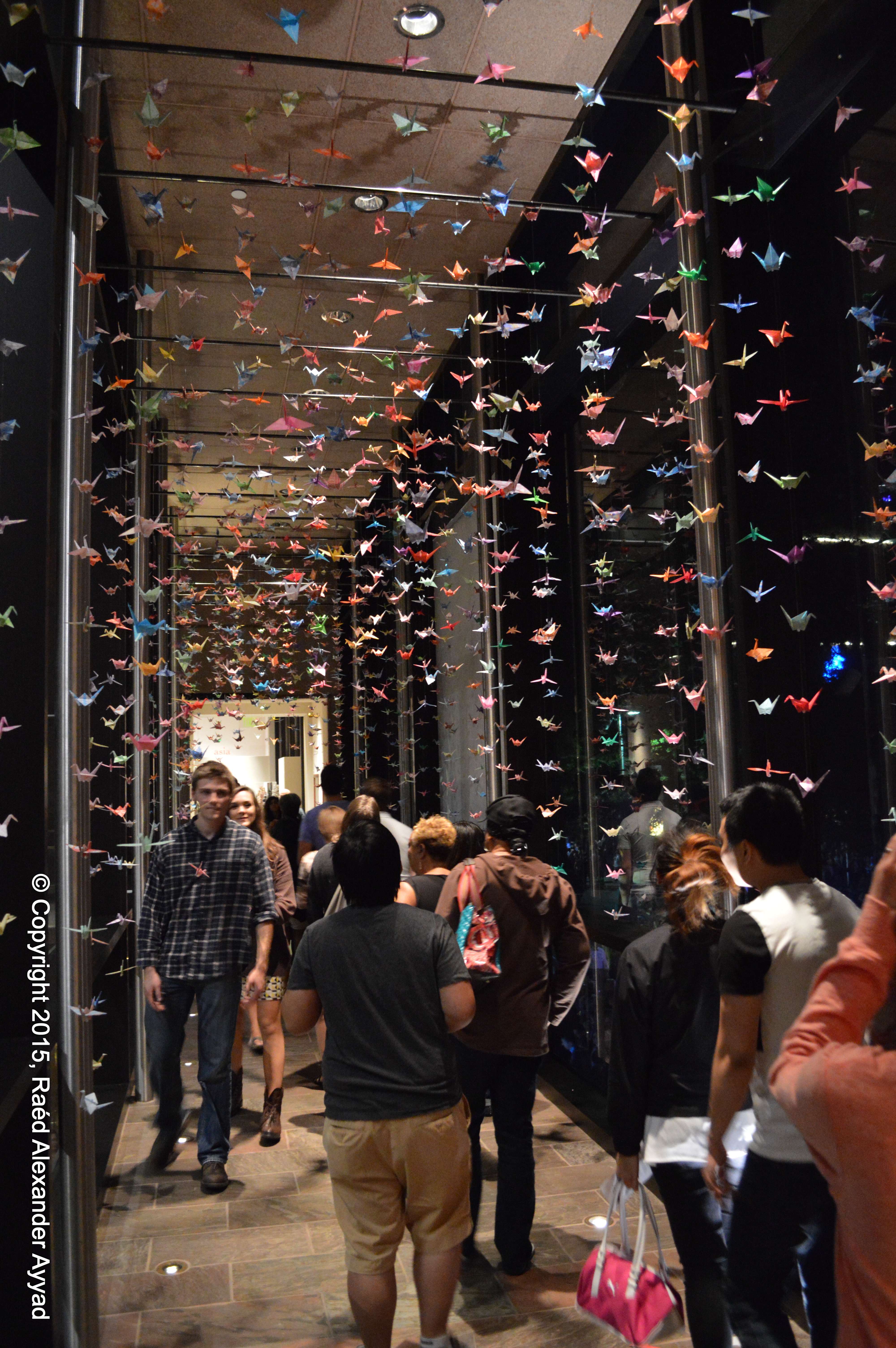
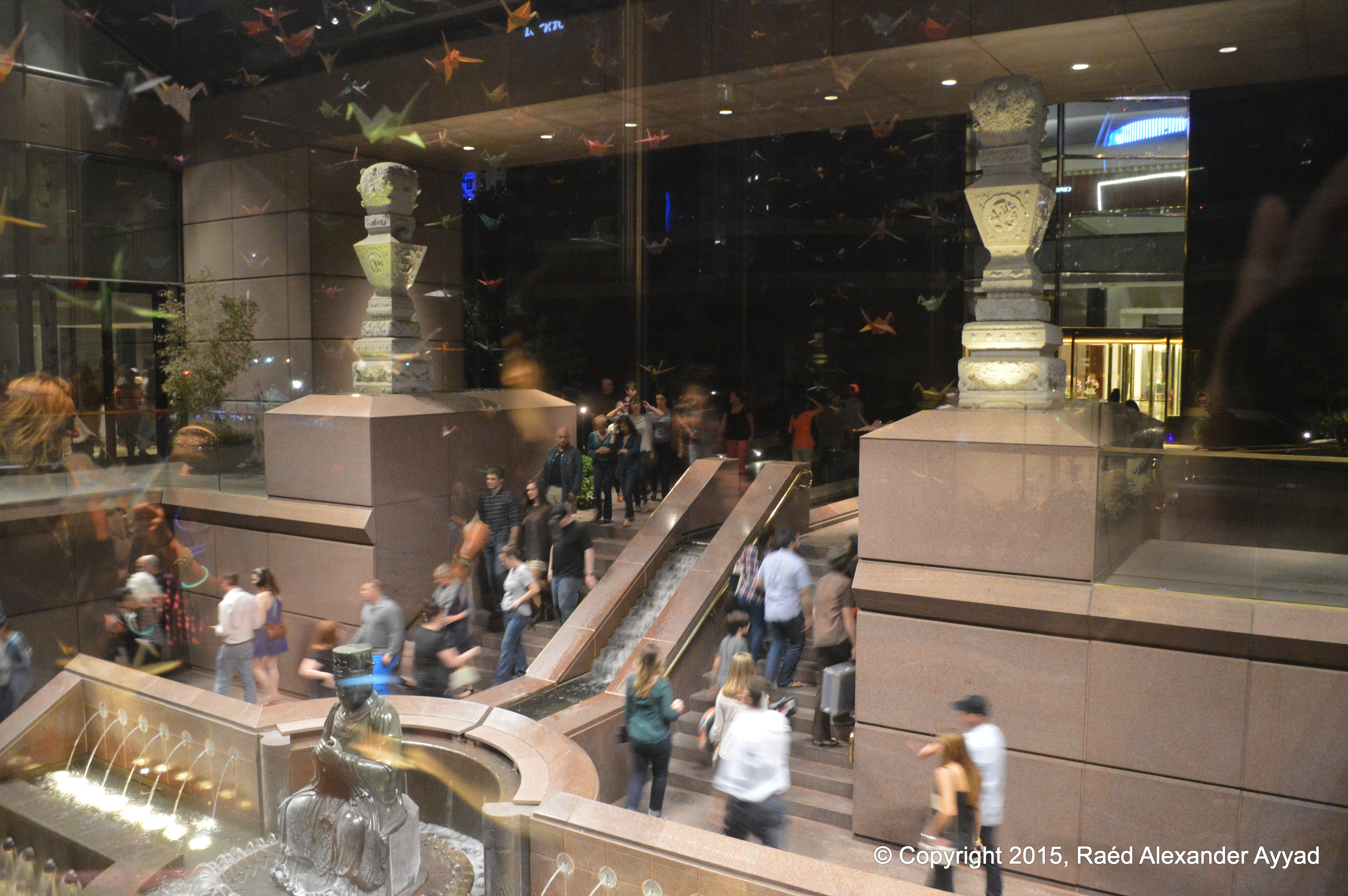
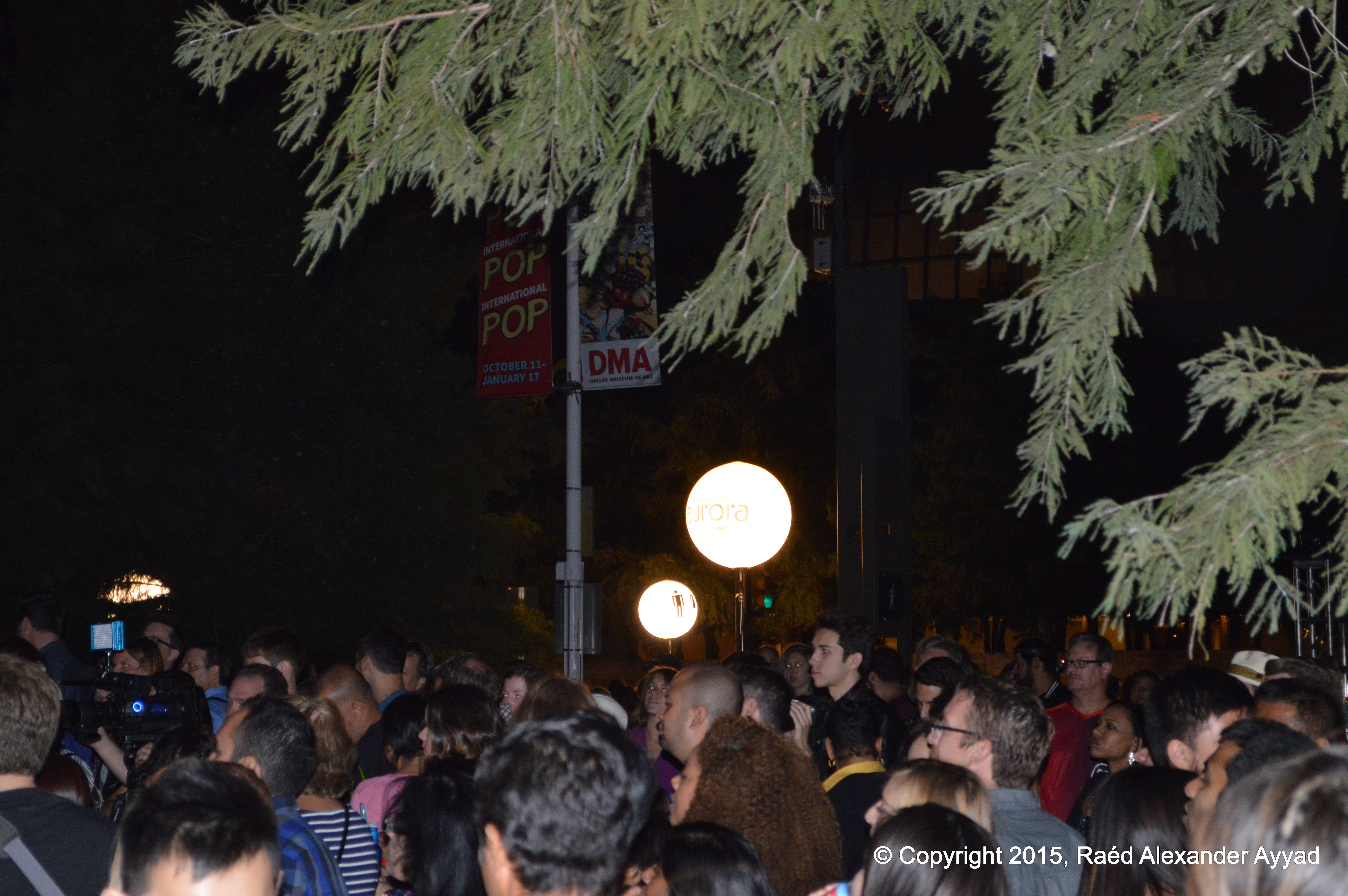
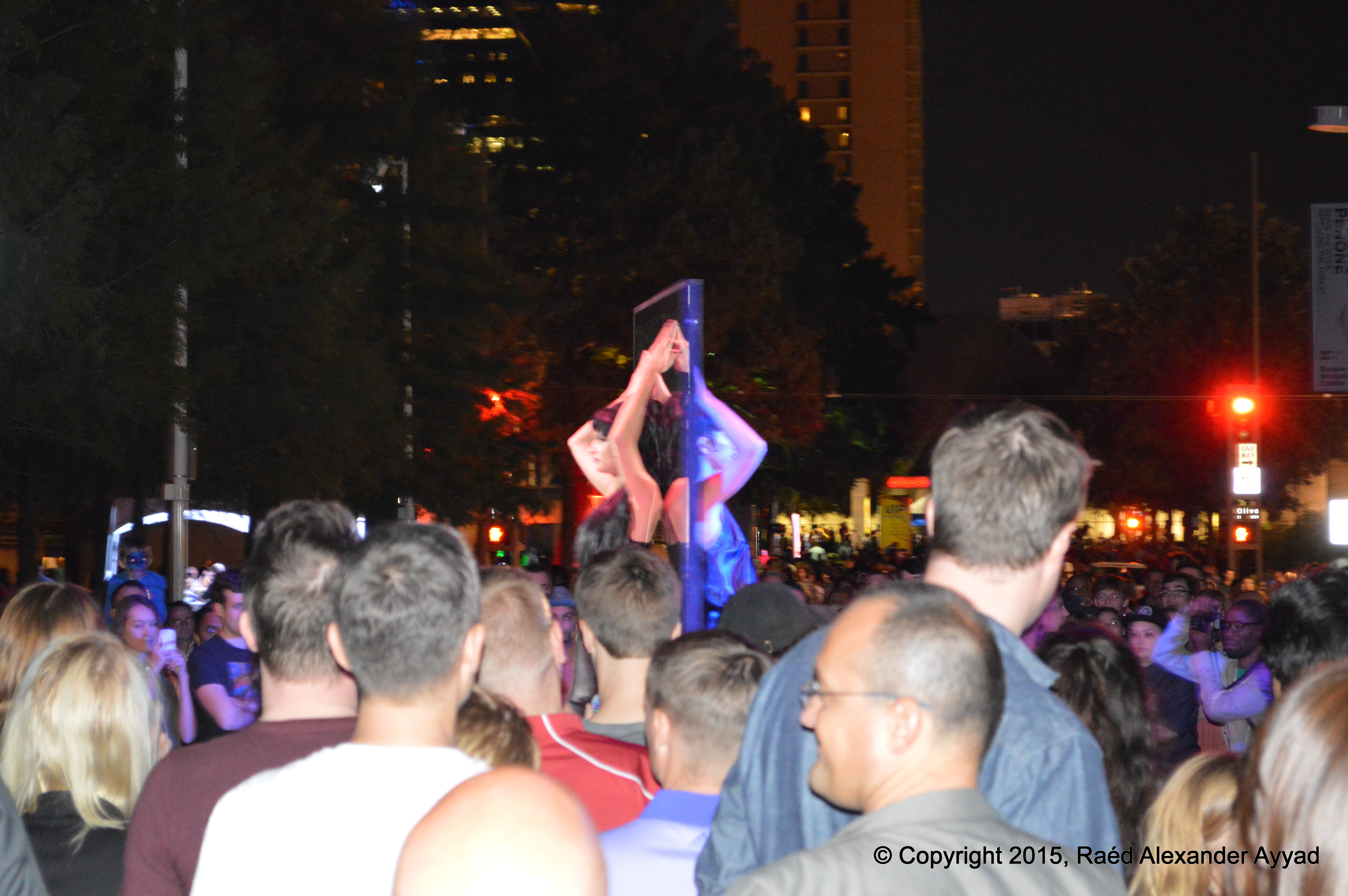
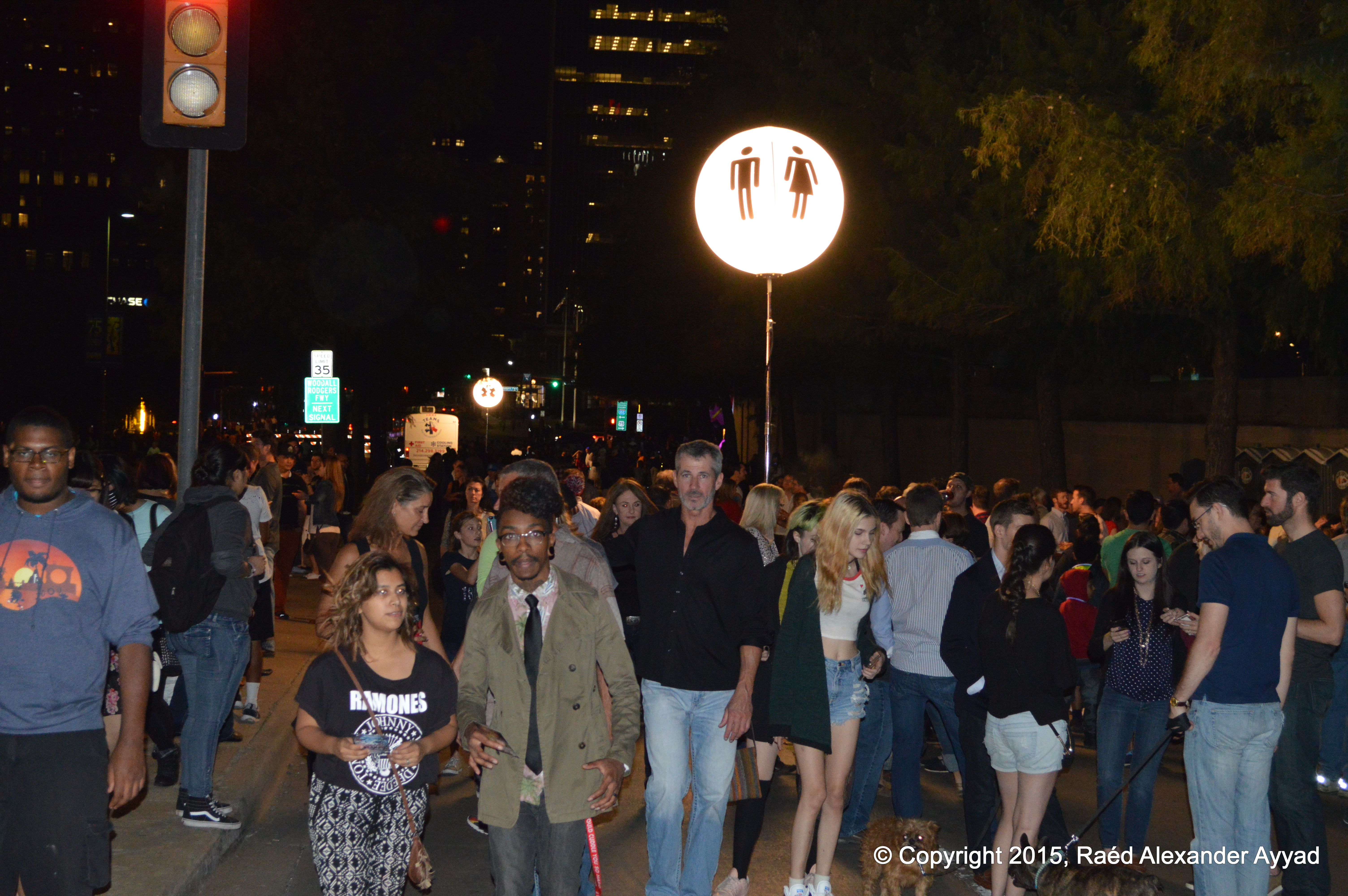
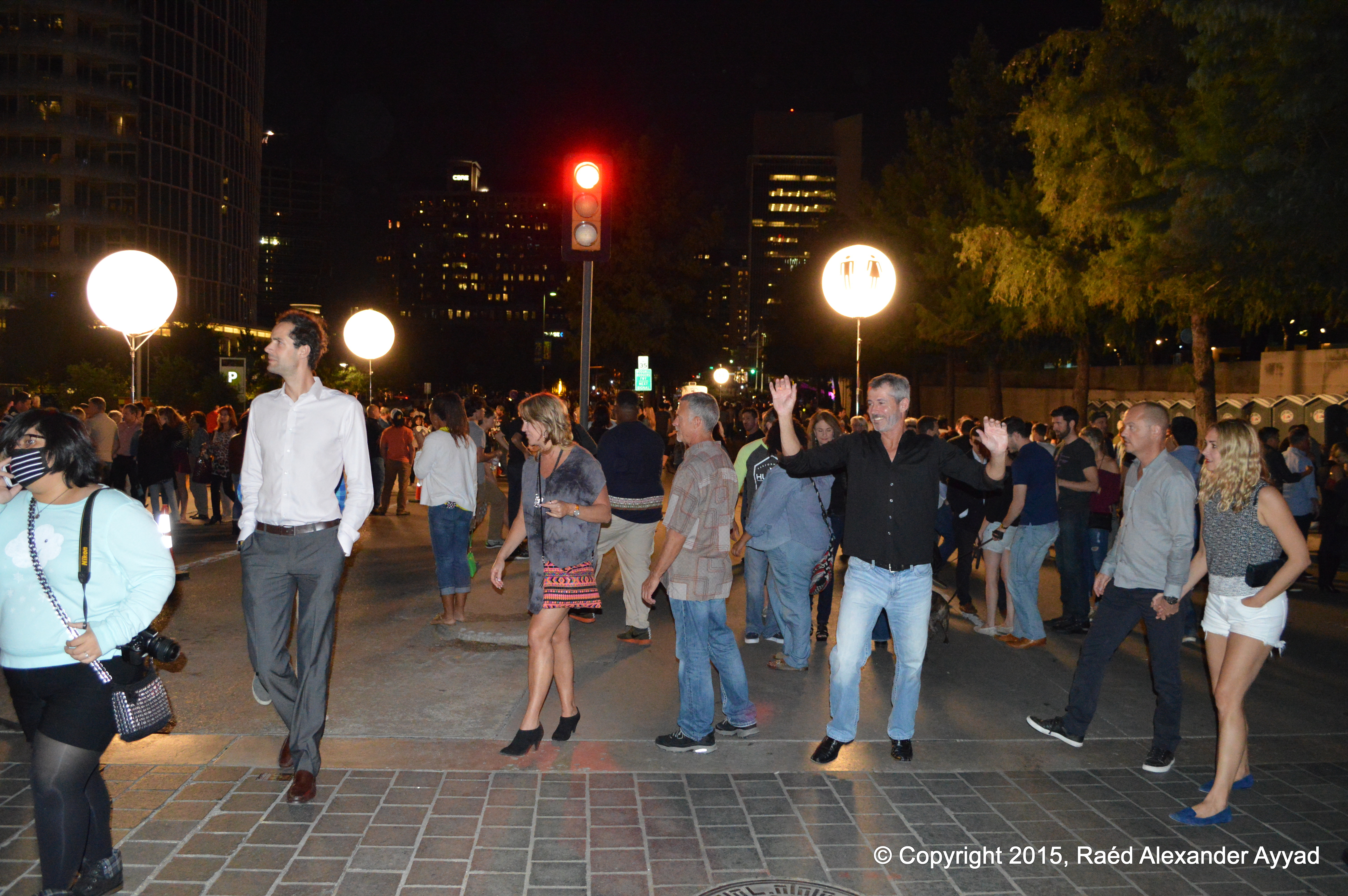
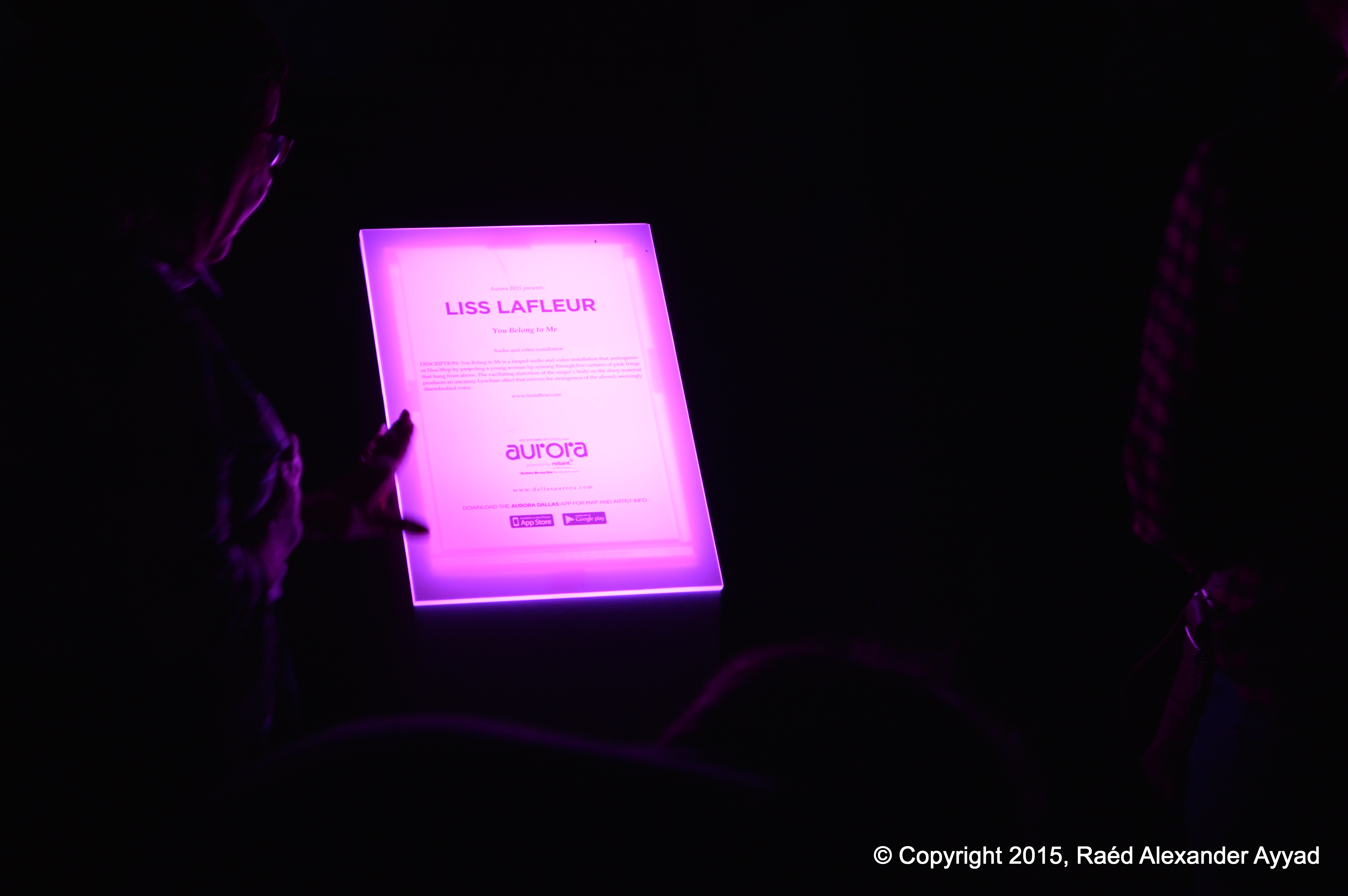
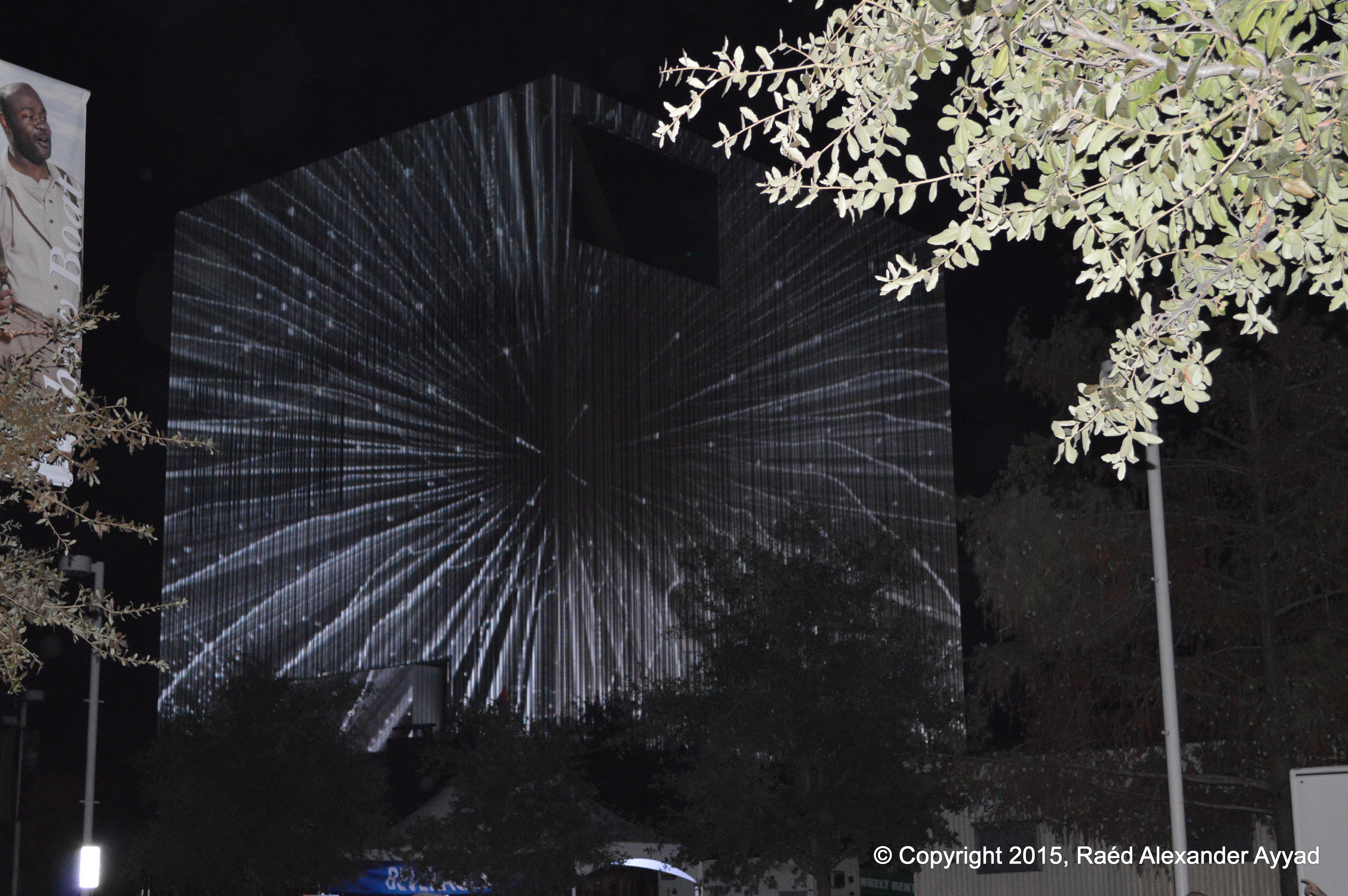
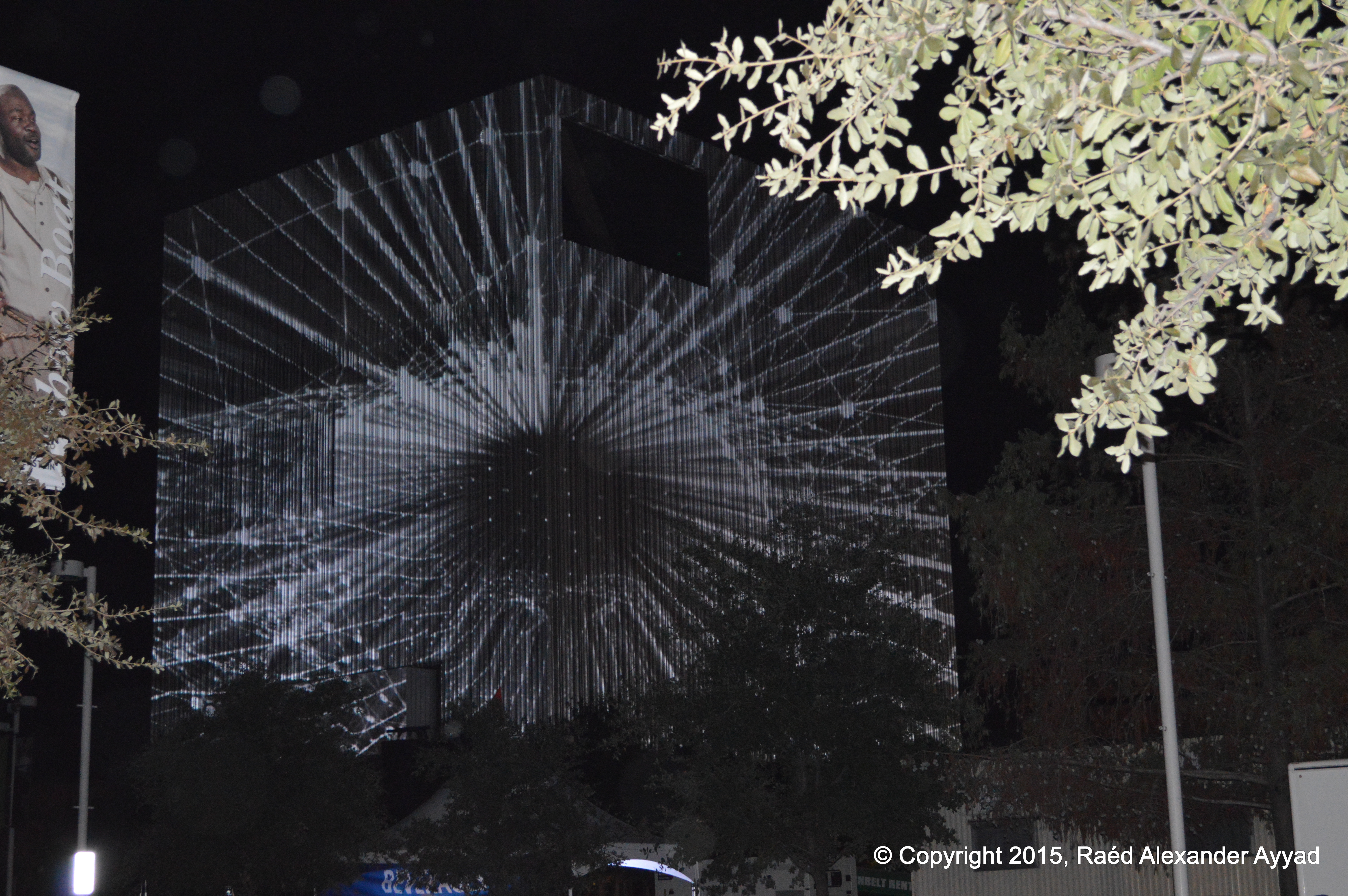
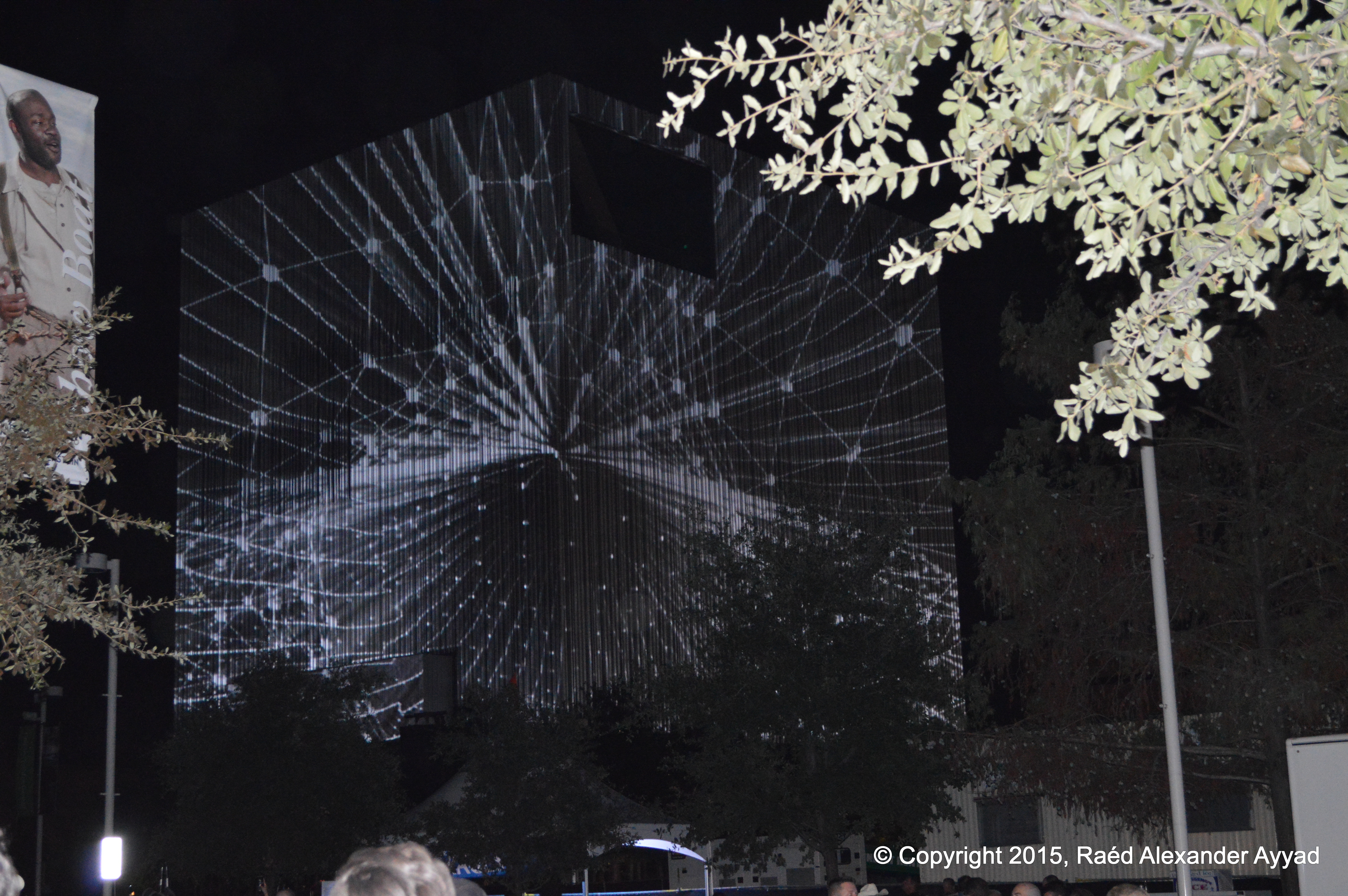
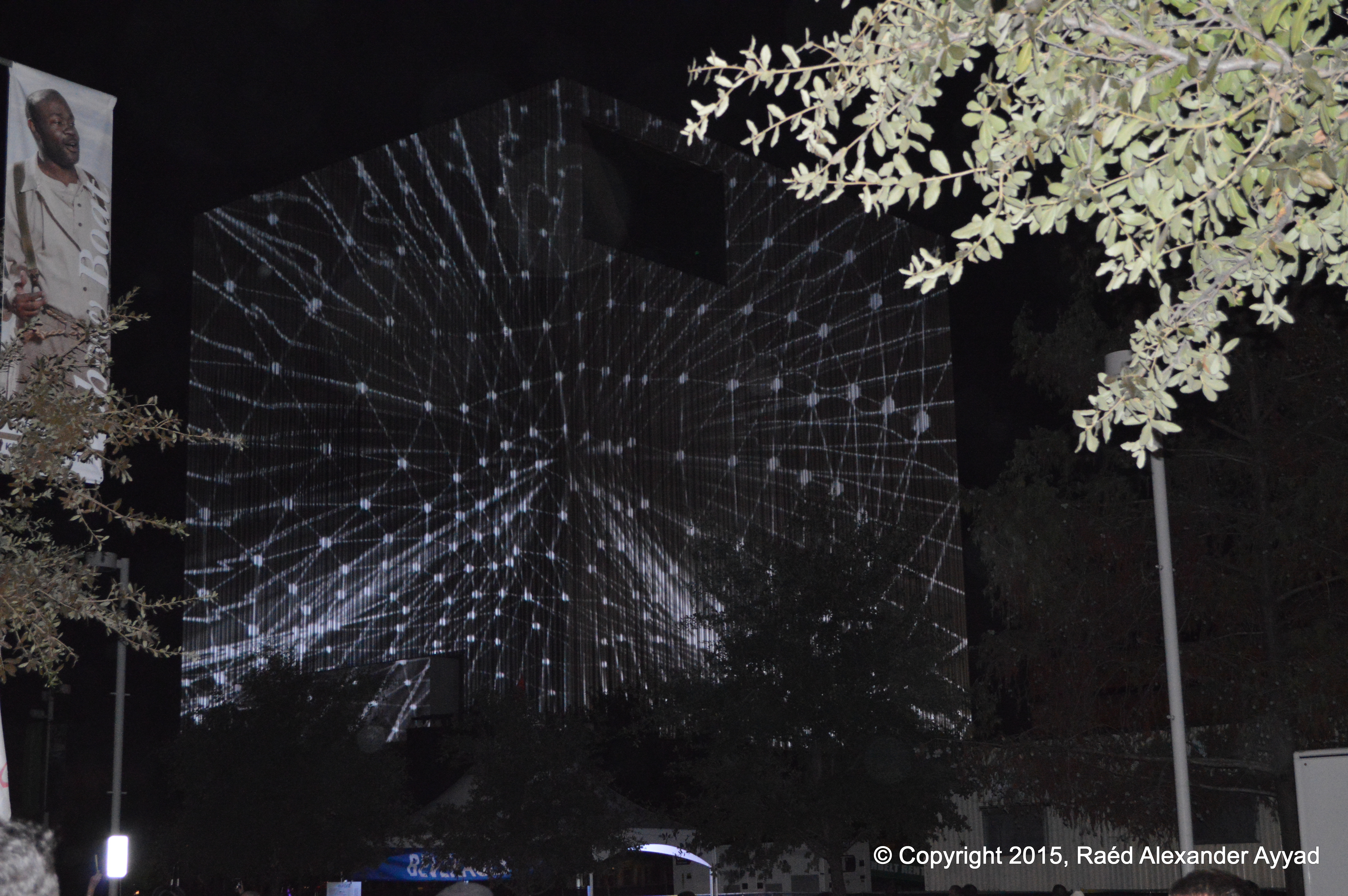
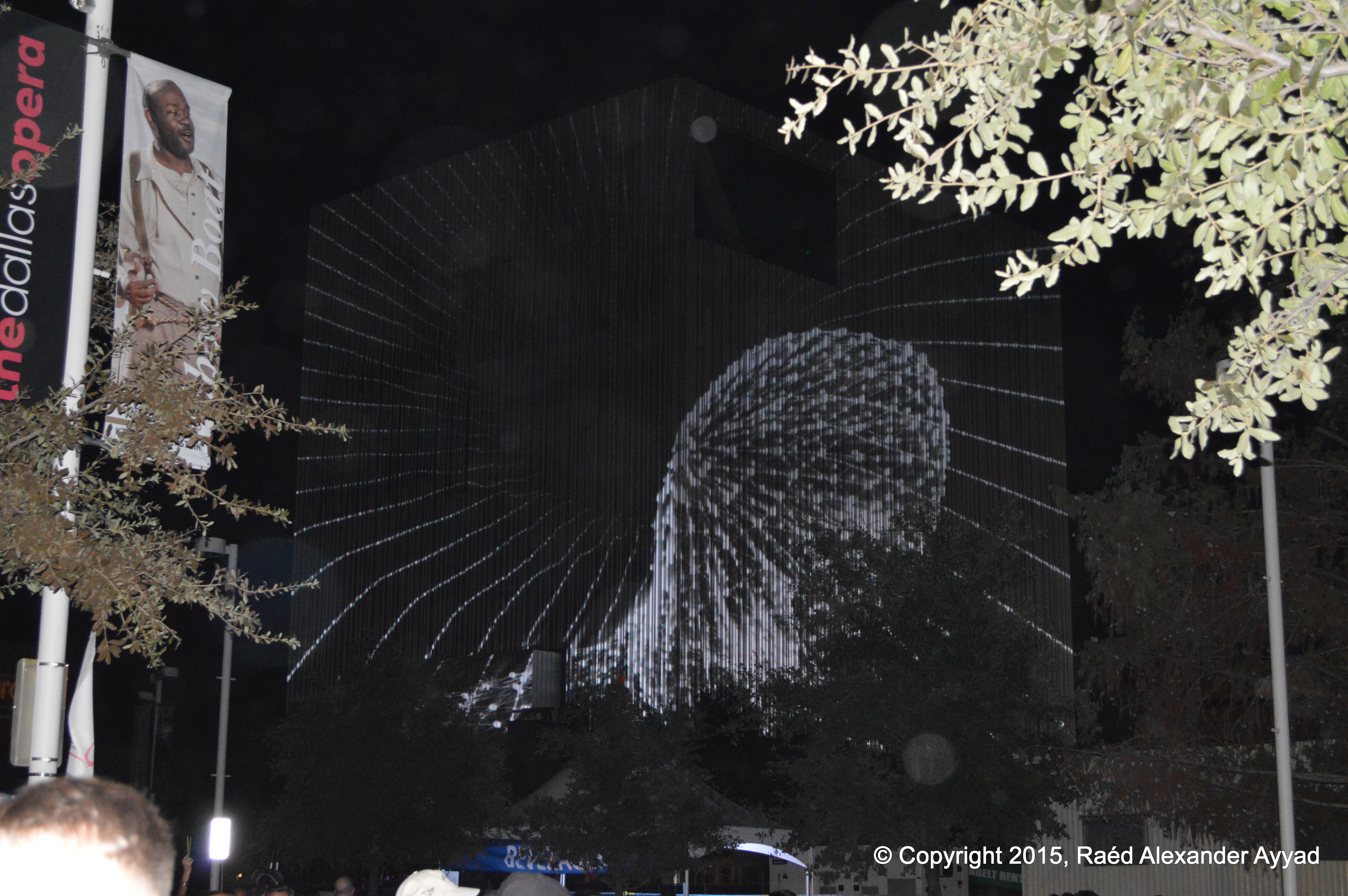
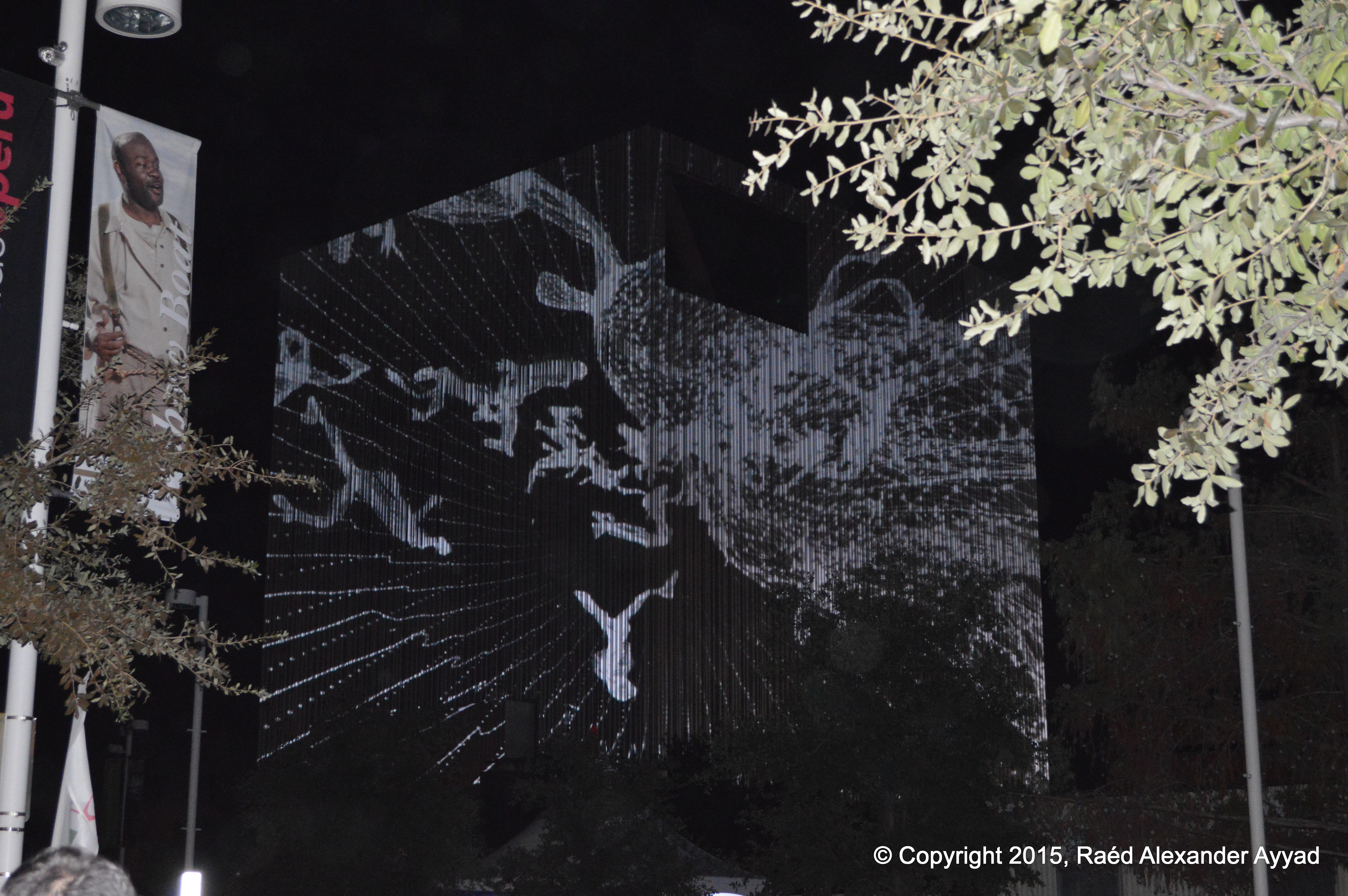
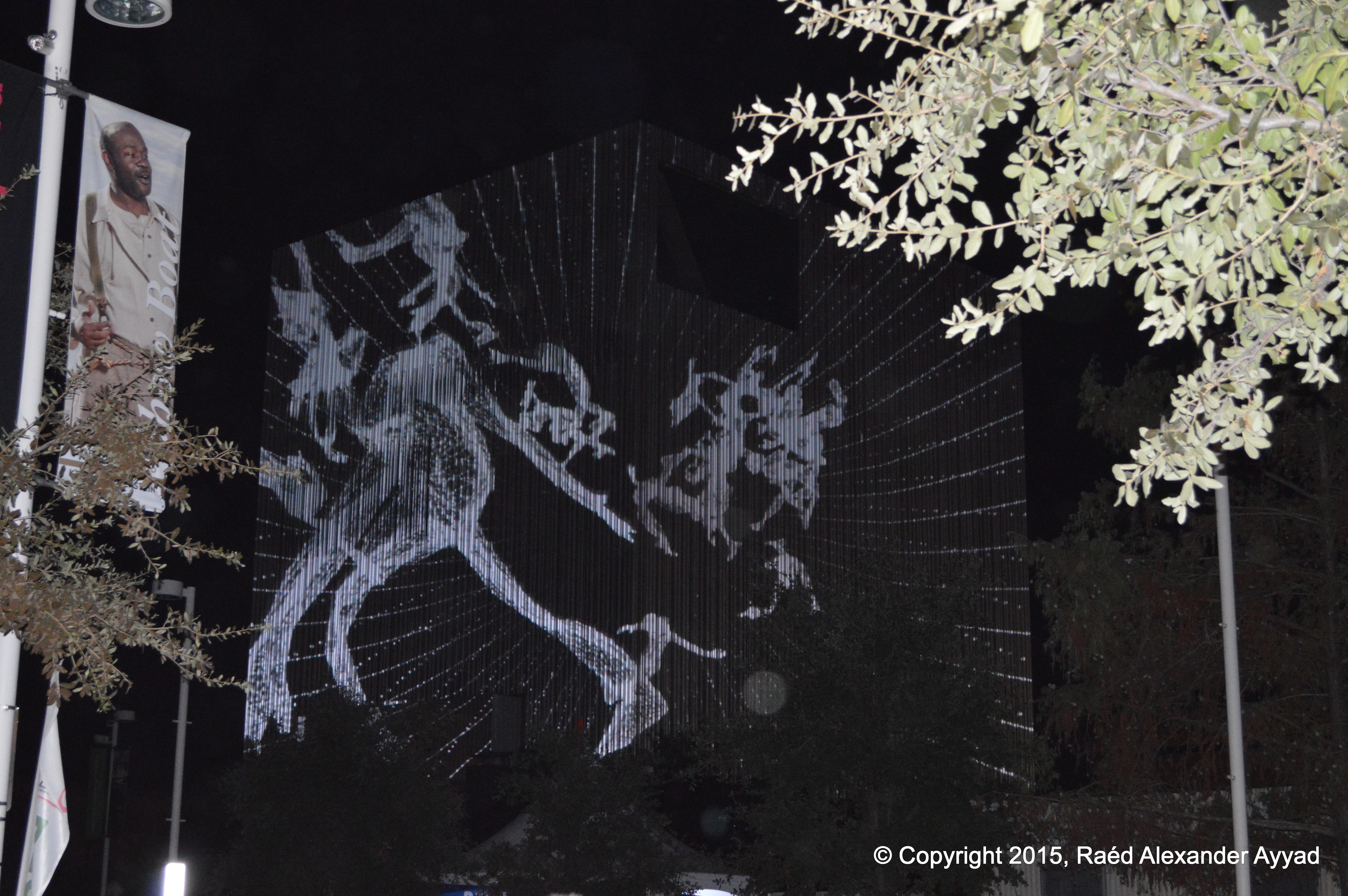
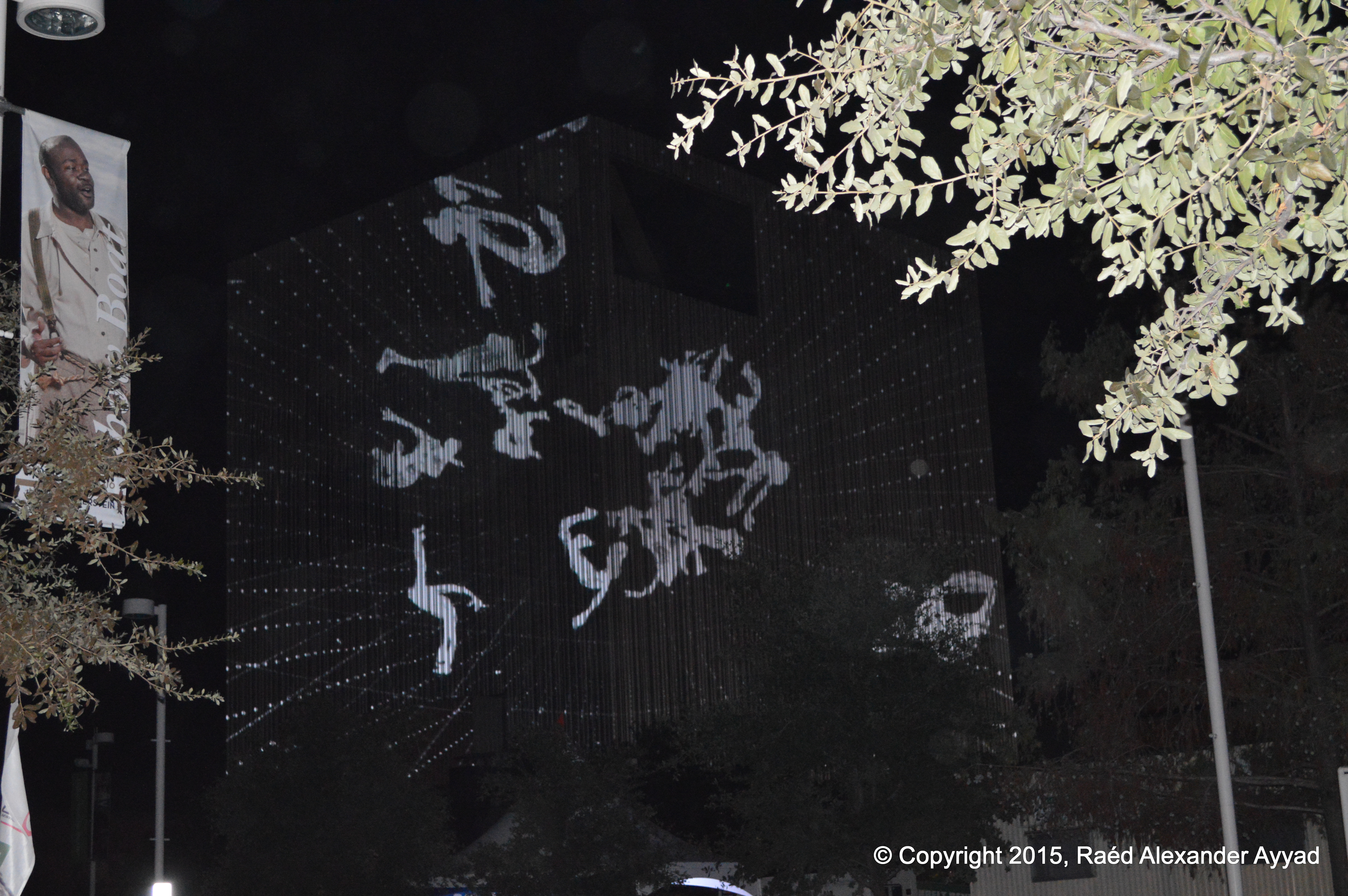
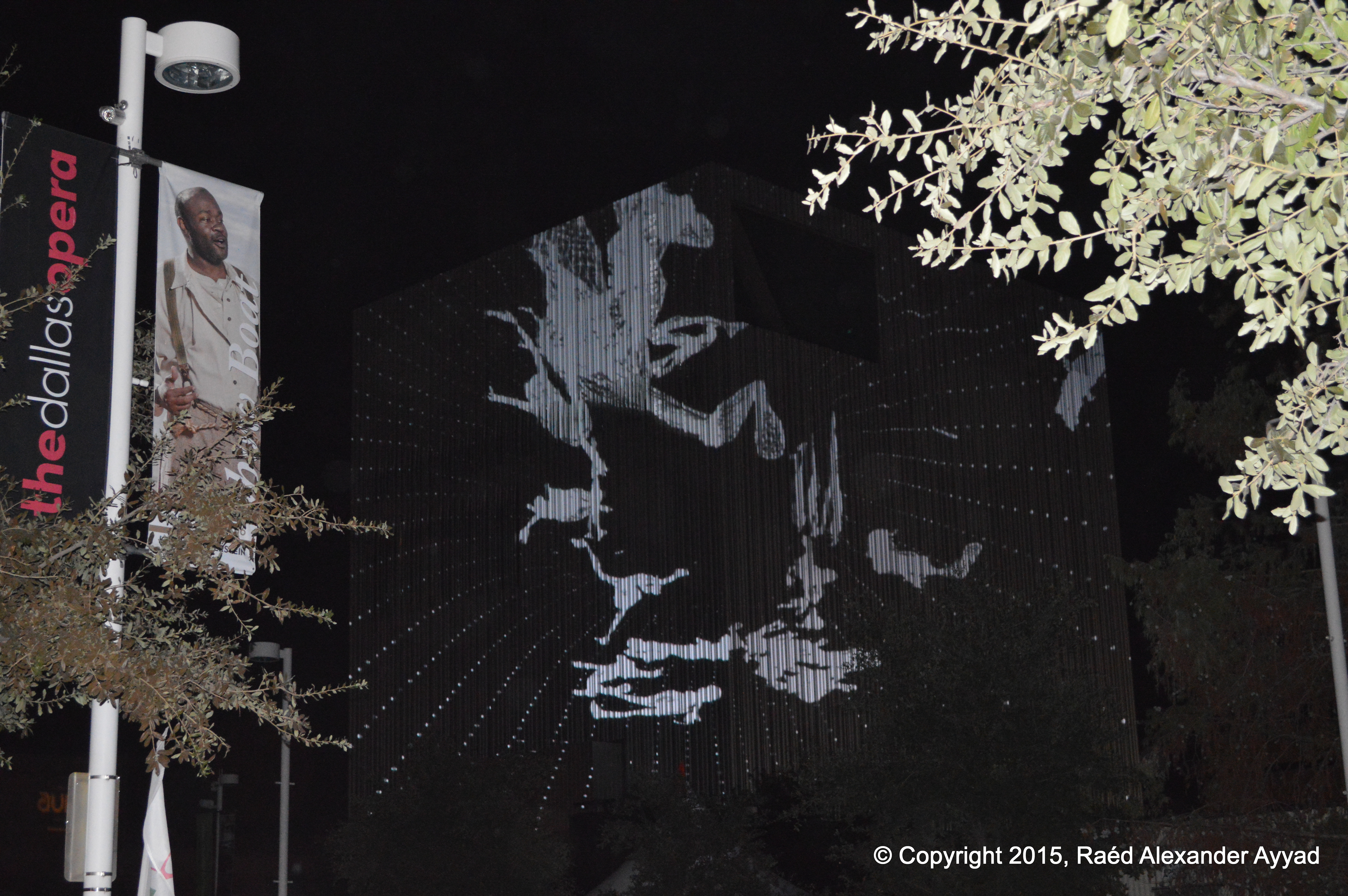
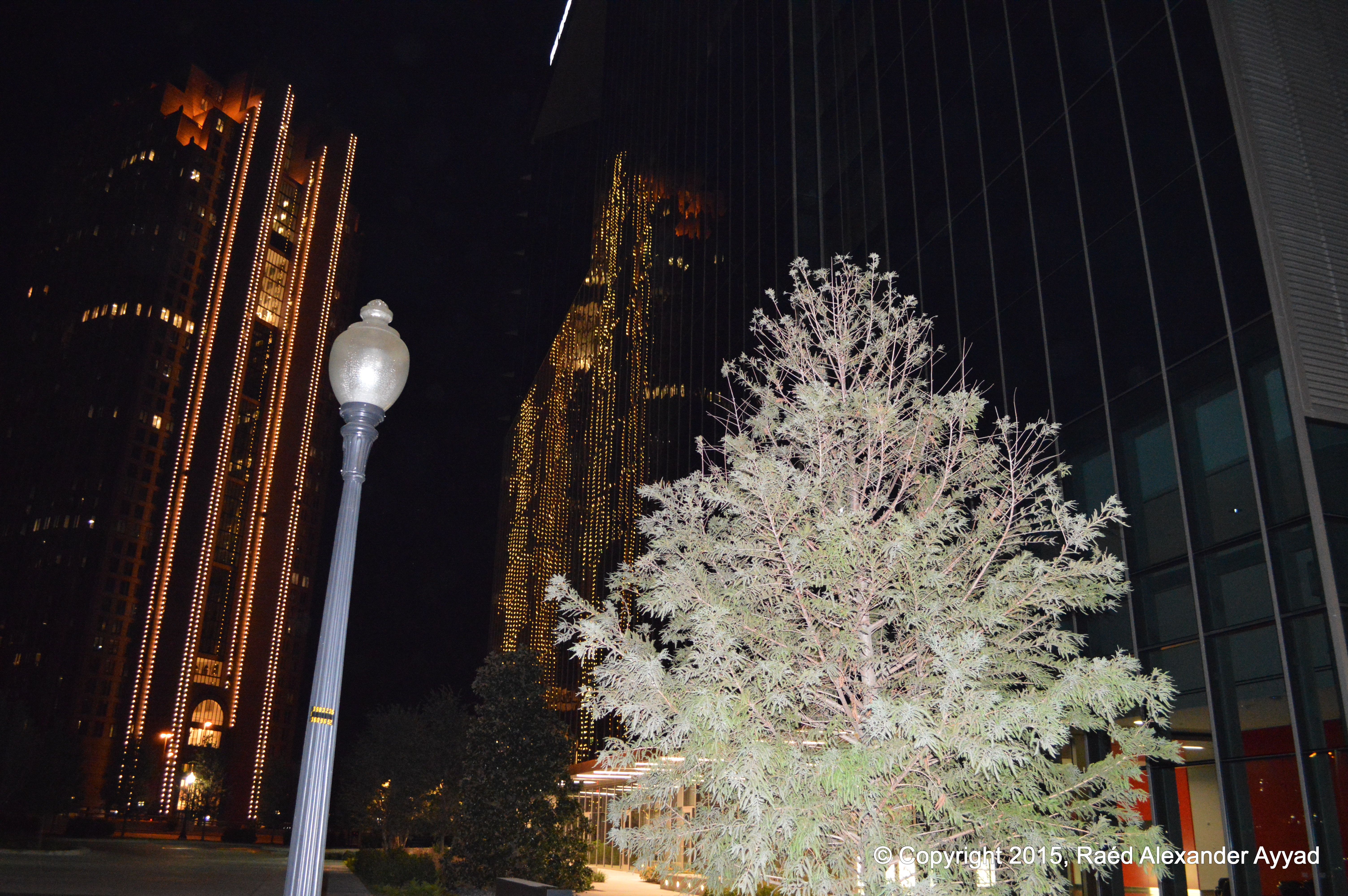
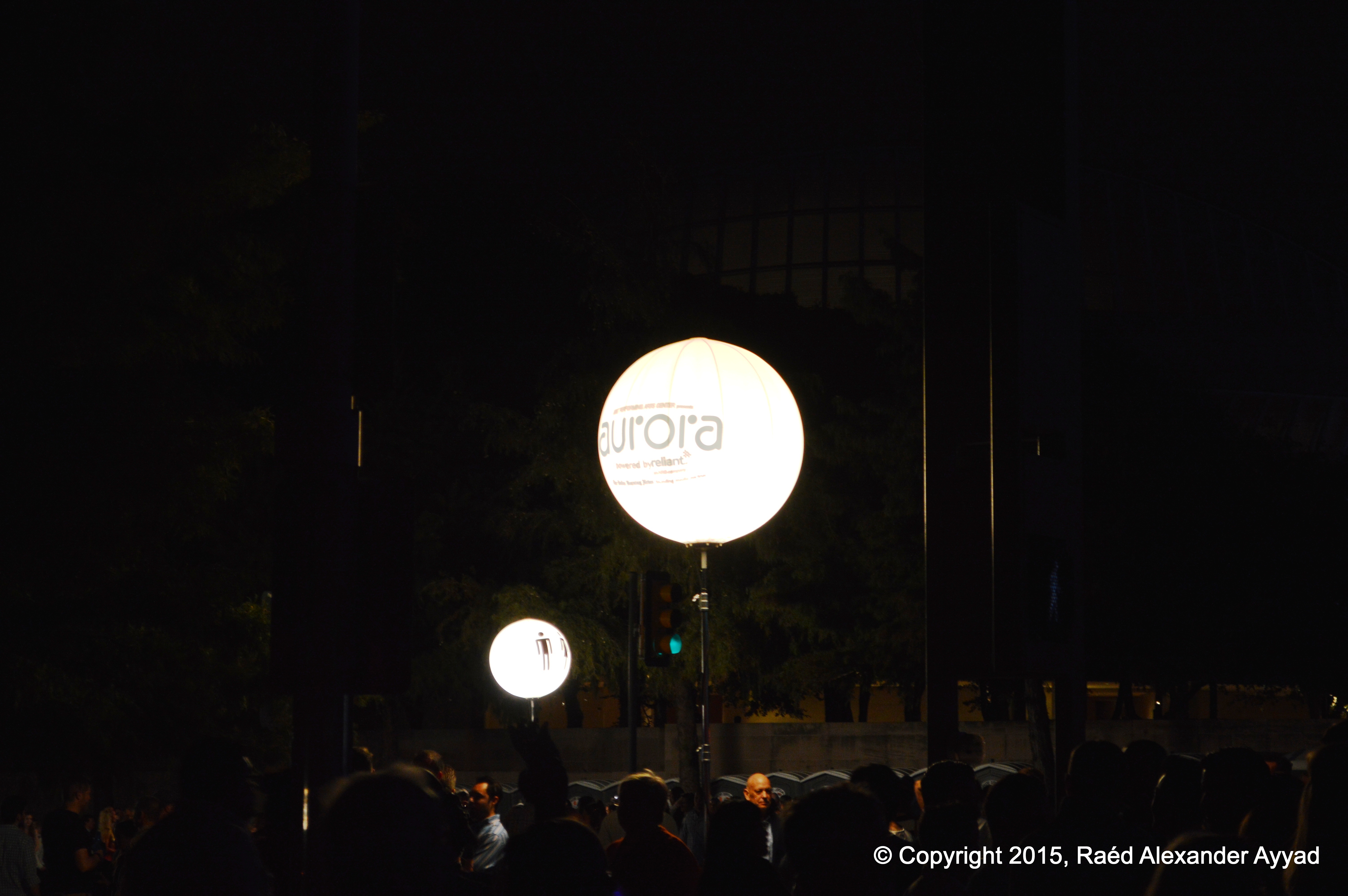
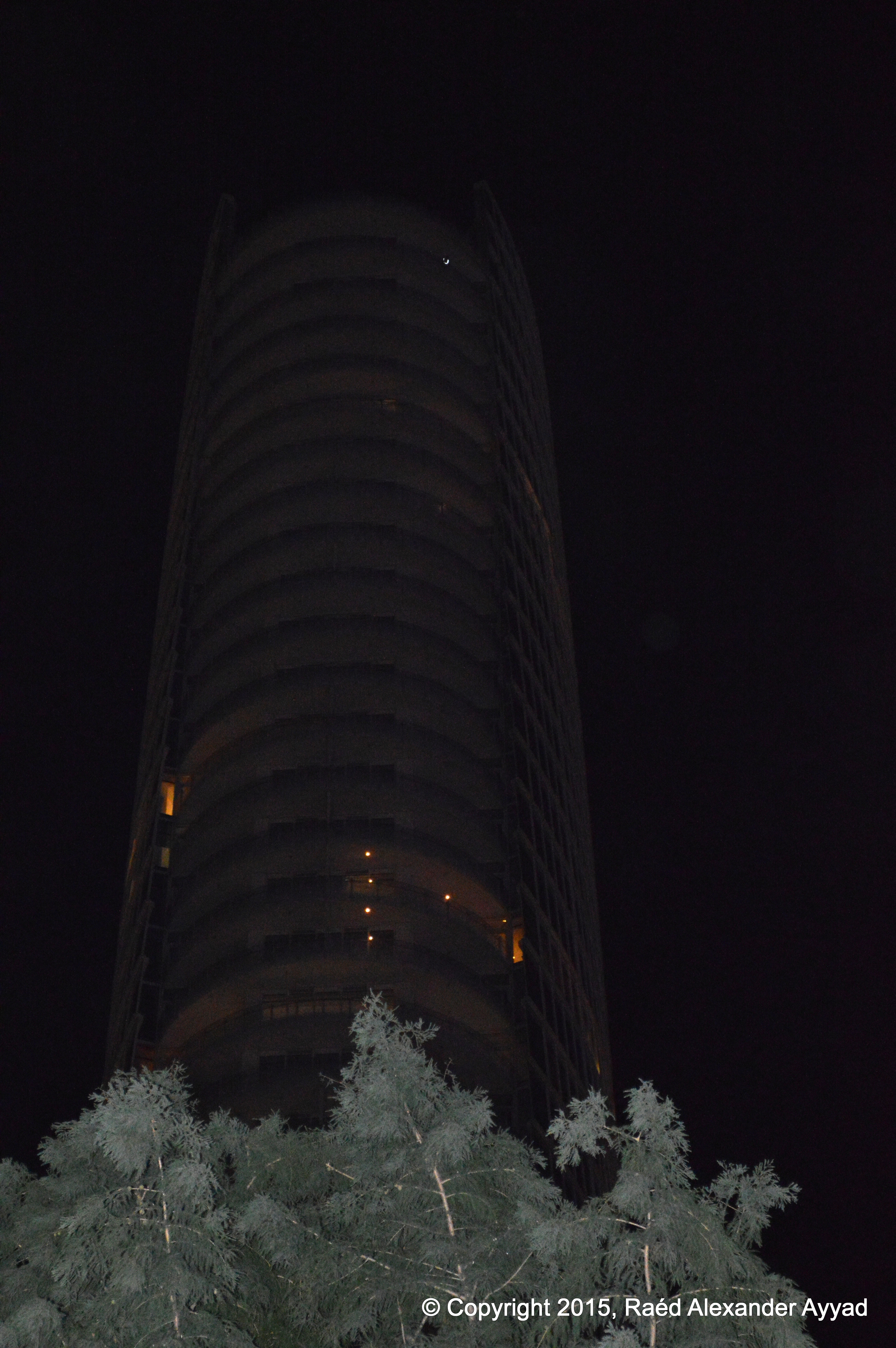
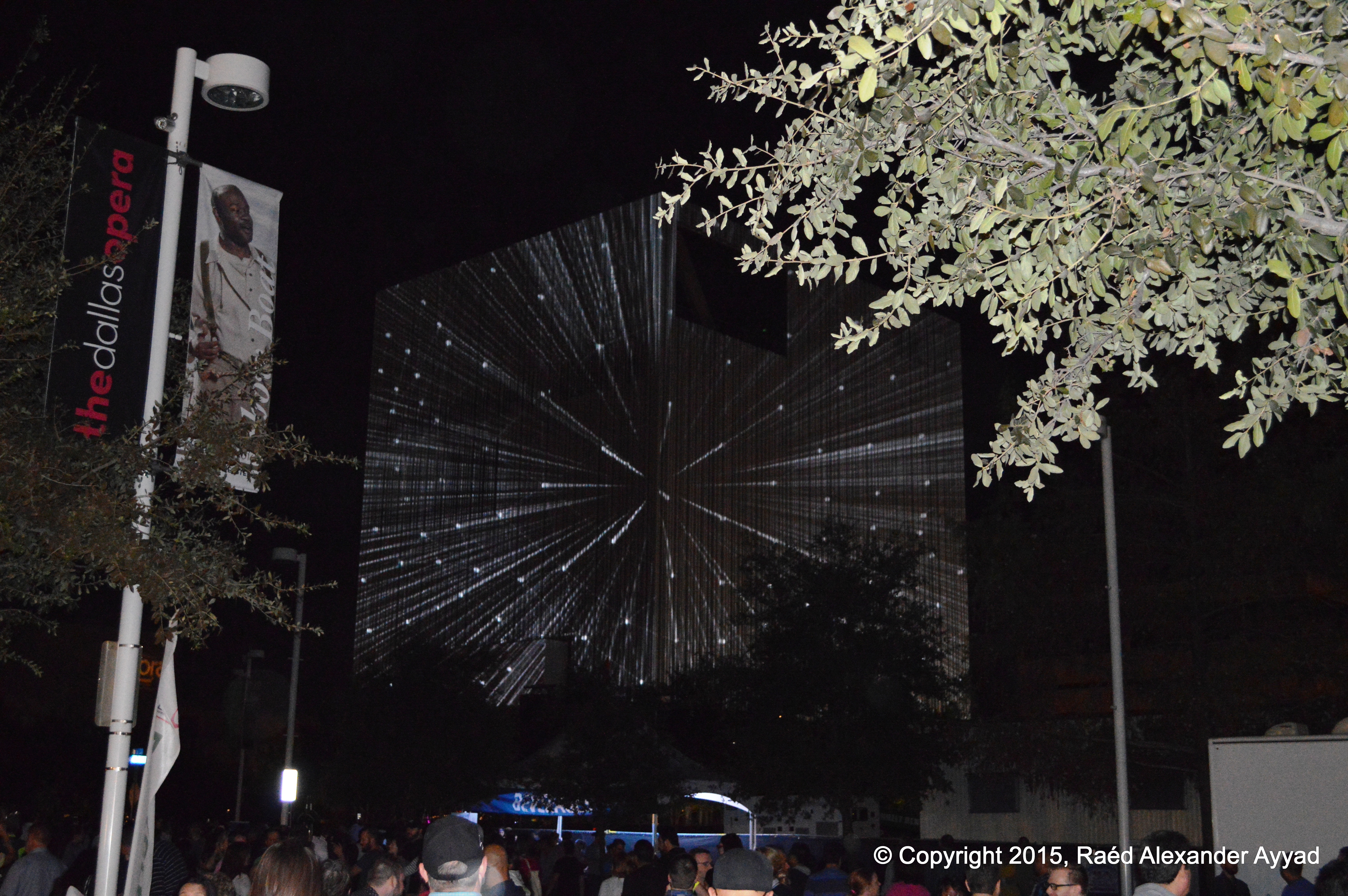
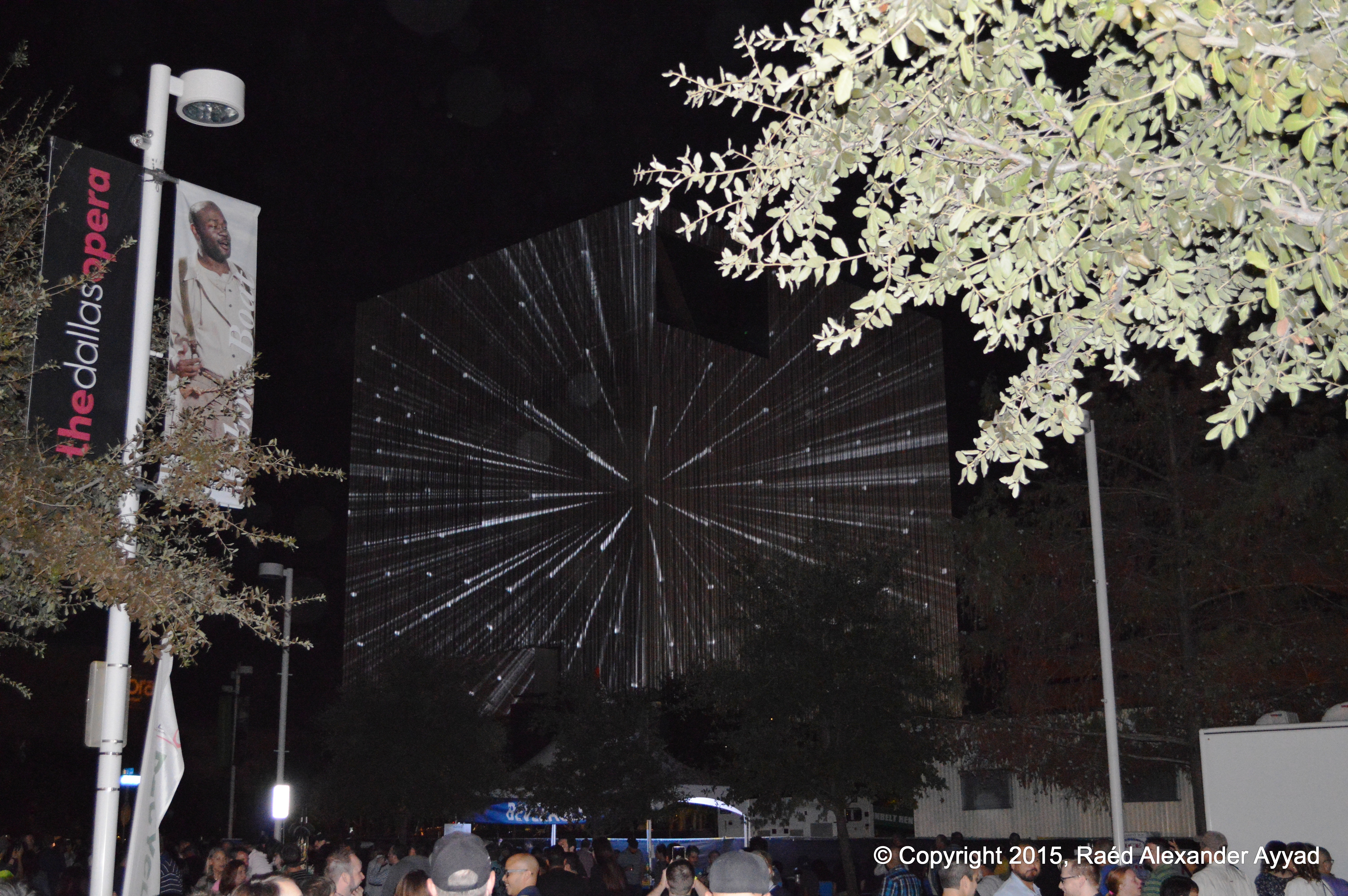
Aurora is a free and public contemporary art exhibition
centered in the 68-acres Dallas Arts District. The expansive and immersive
exhibition presents interactive light, video, performance, and sound
artworks in exciting and unexpected public spaces.
It is ironic that I recalled today that one of my neighbors,
another friend, had mentioned the event to me, during a conversation
about his work at the Dallas Center for the Performing Arts, and his preparation
for the event as one of the event's engineers, but it did not register in my
mind at the
time!
If I attempt to describe this one-night event with words or
photographs, I know that I will fall short of being true in my presentation,
because it must be experienced, but here is a video that will give you some
idea:
CBS11 Aurora: A Celebration of Light, Video and Sound
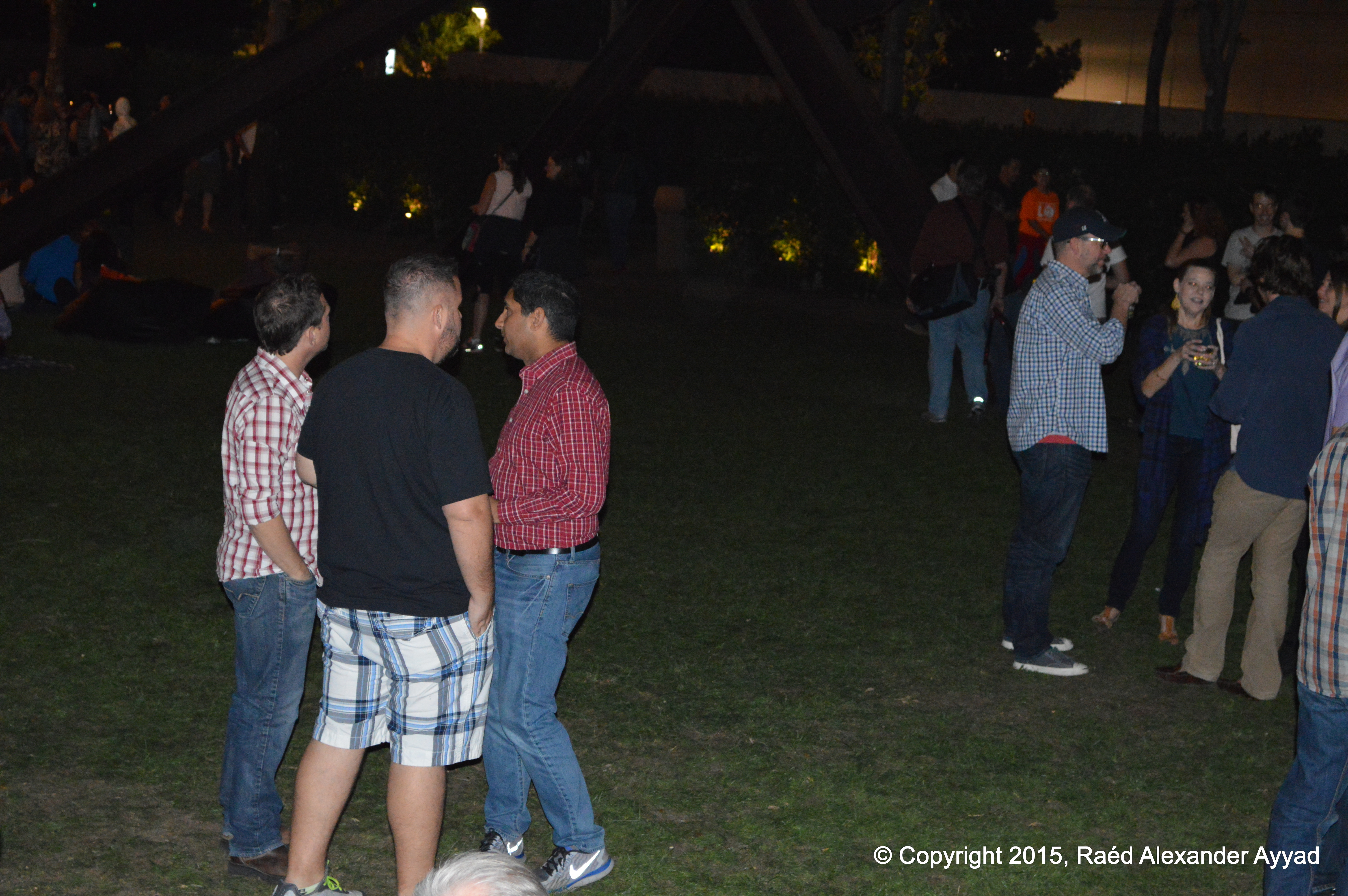
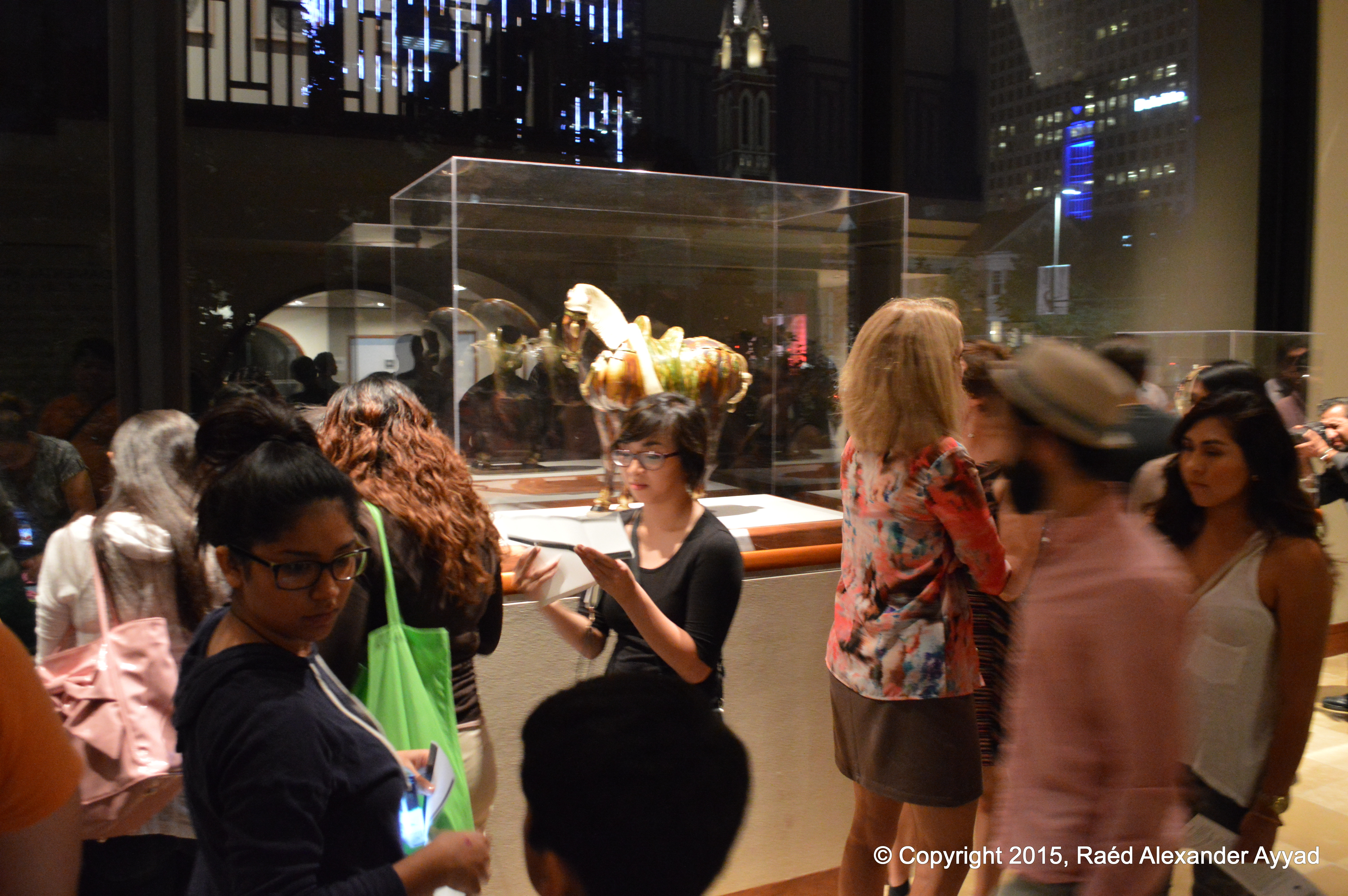
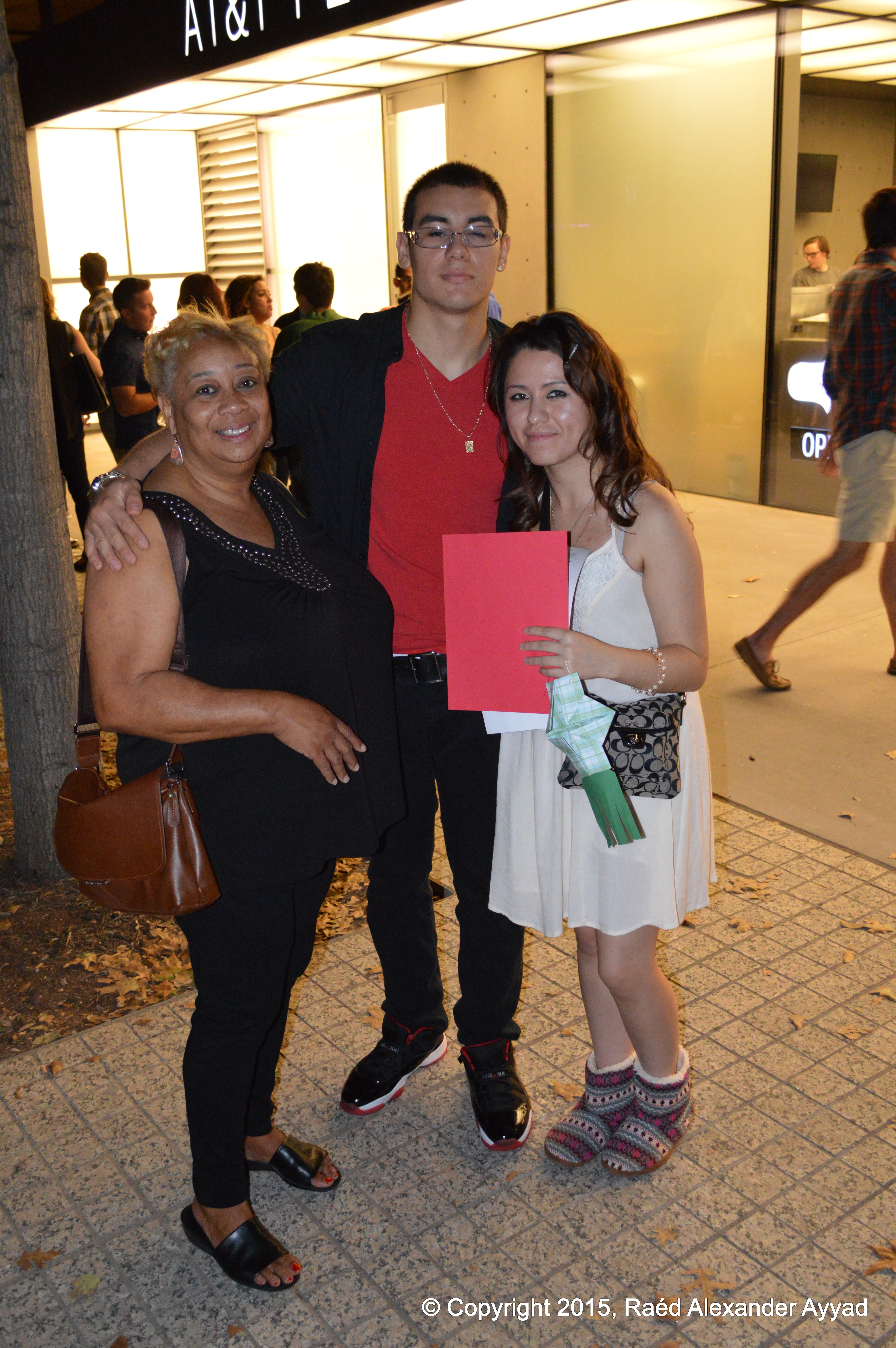
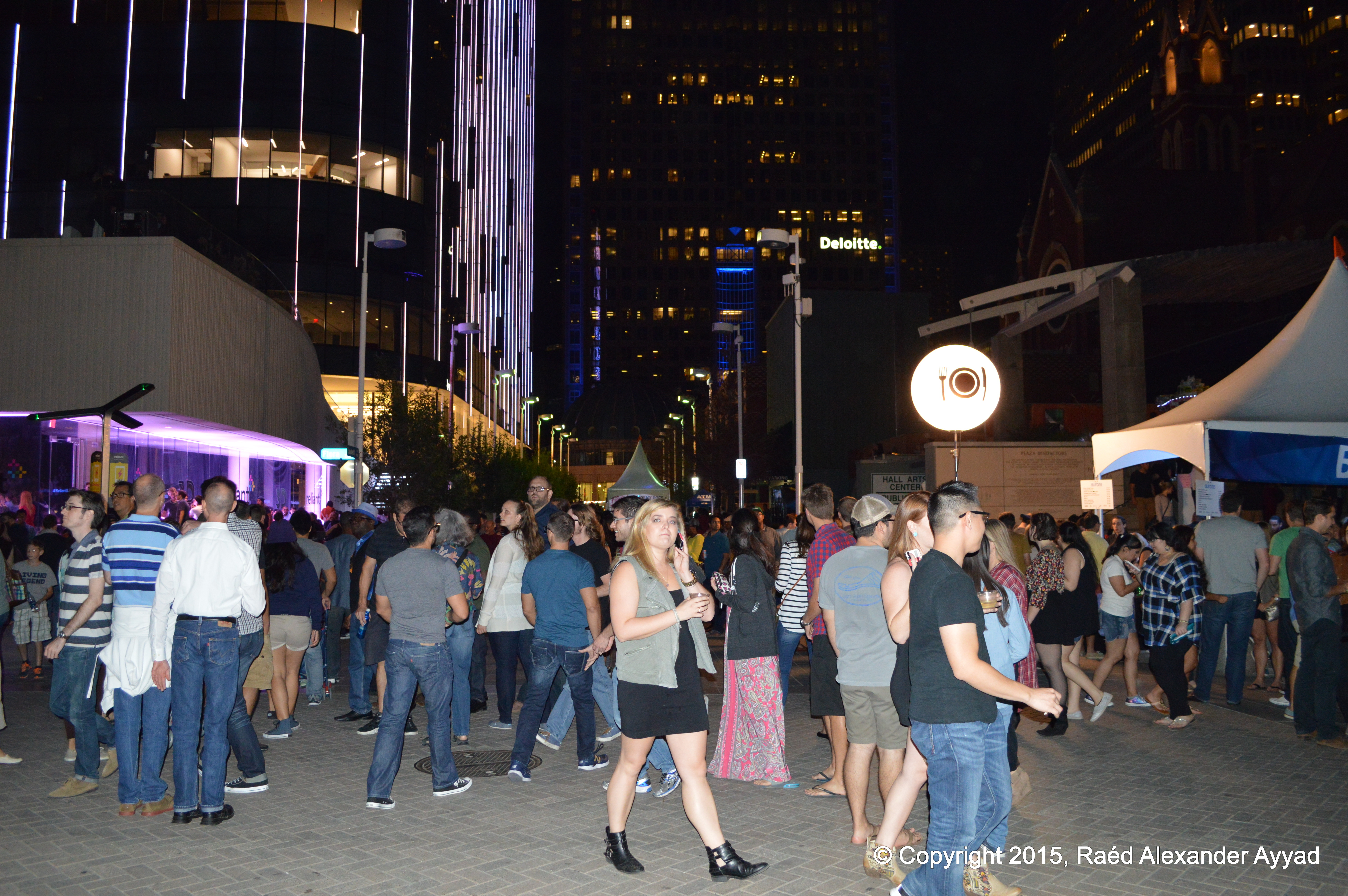
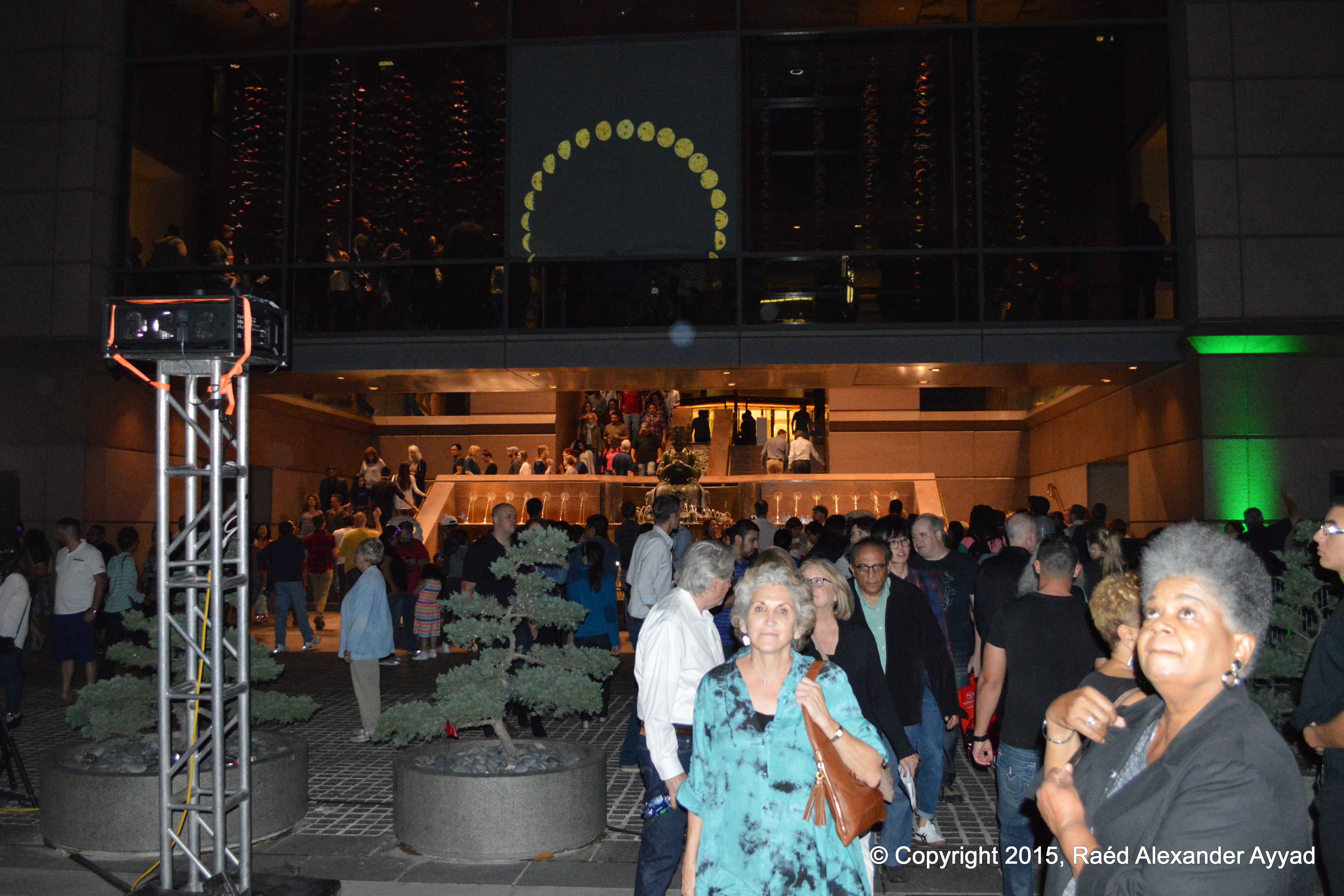
I can imagine that for some of those who attended this event,
they may have experienced sensory overload! Around every corner there was
something to interact with! There were people of all age groups and
backgrounds, but the diverse crowd certainly seemed to attract younger
people ranging from teens to those in their 50s. All those I saw at the
event were friendly, very jovial, inquisitive, and seemed to be enjoying
their time and all that the
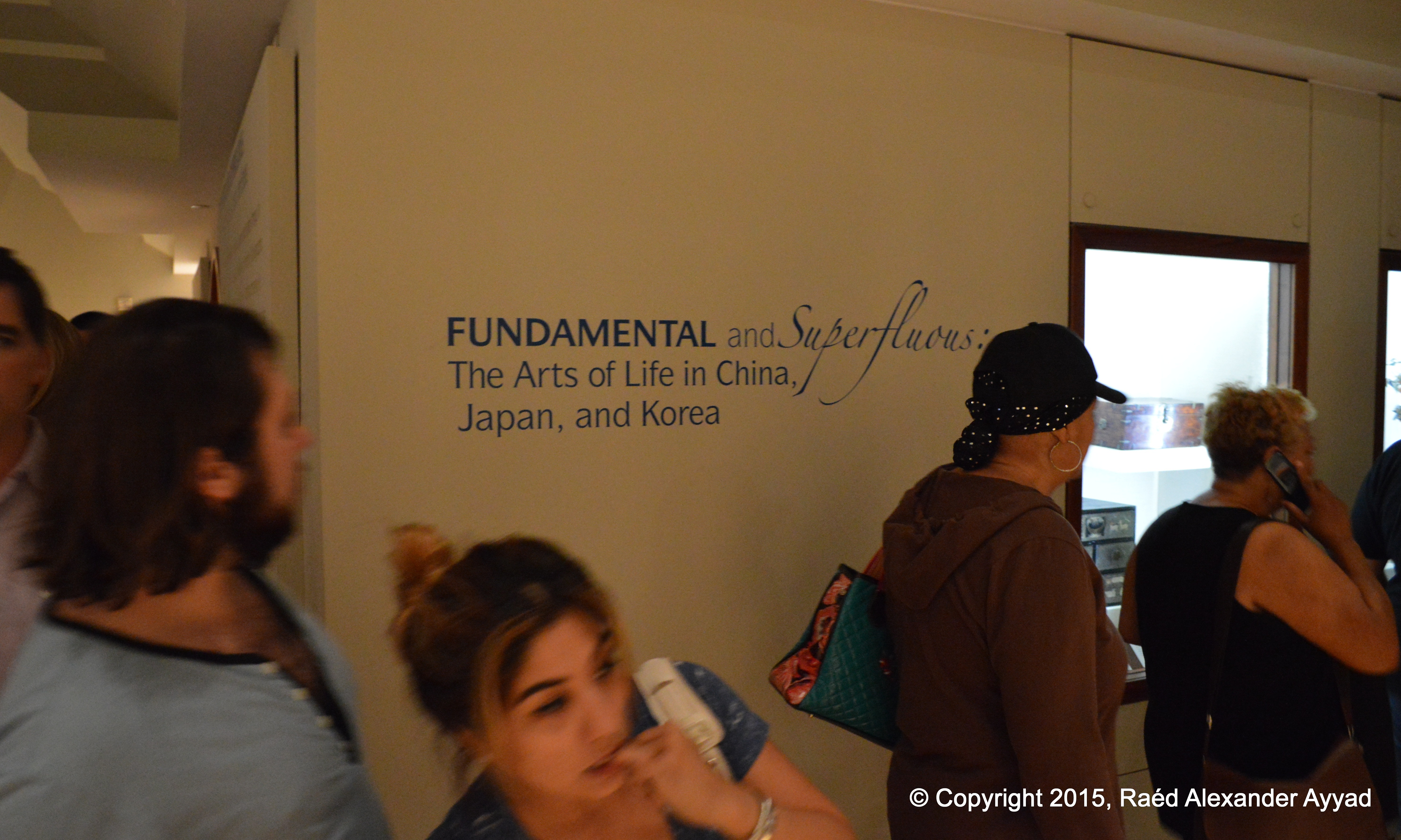
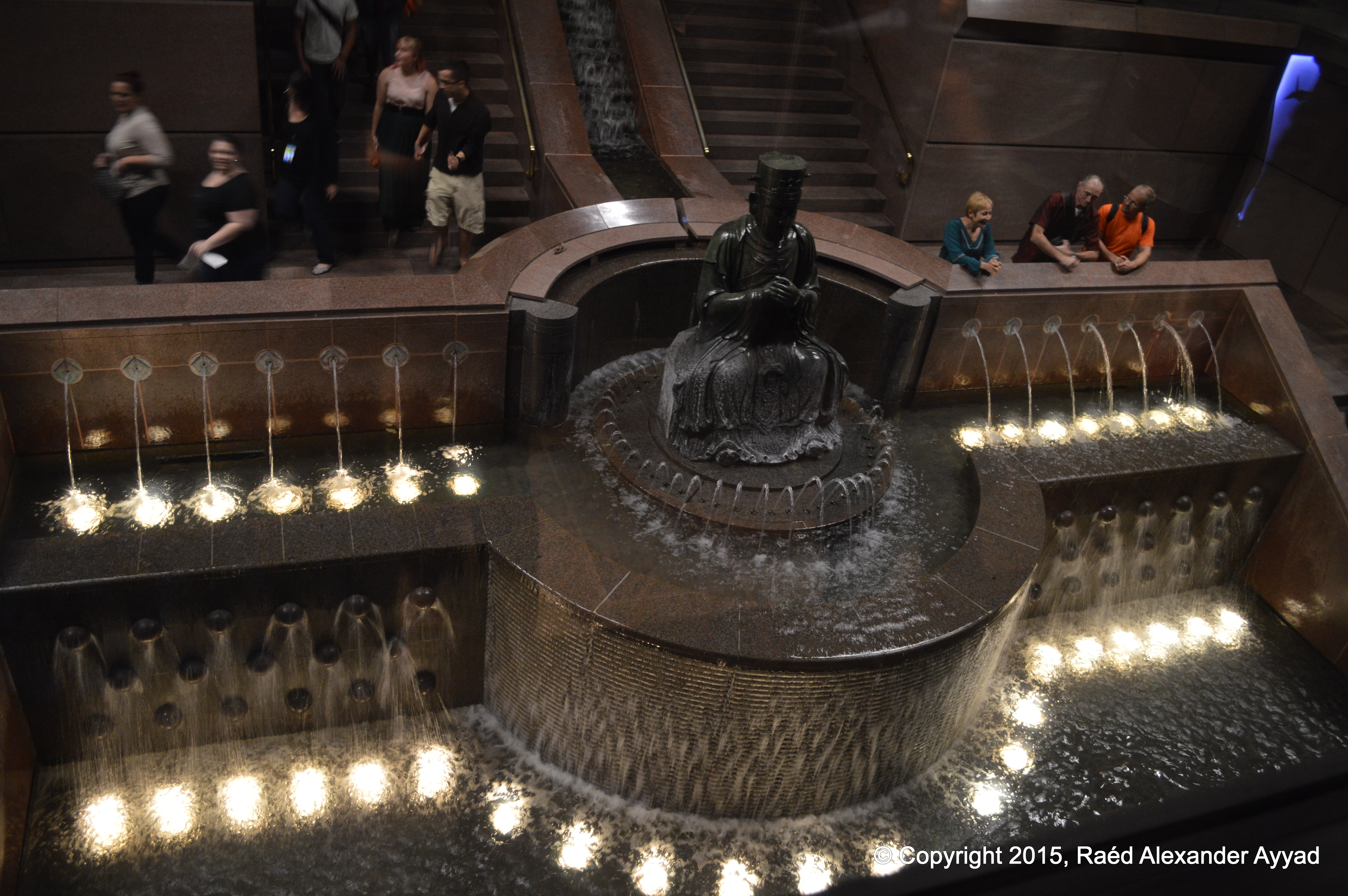
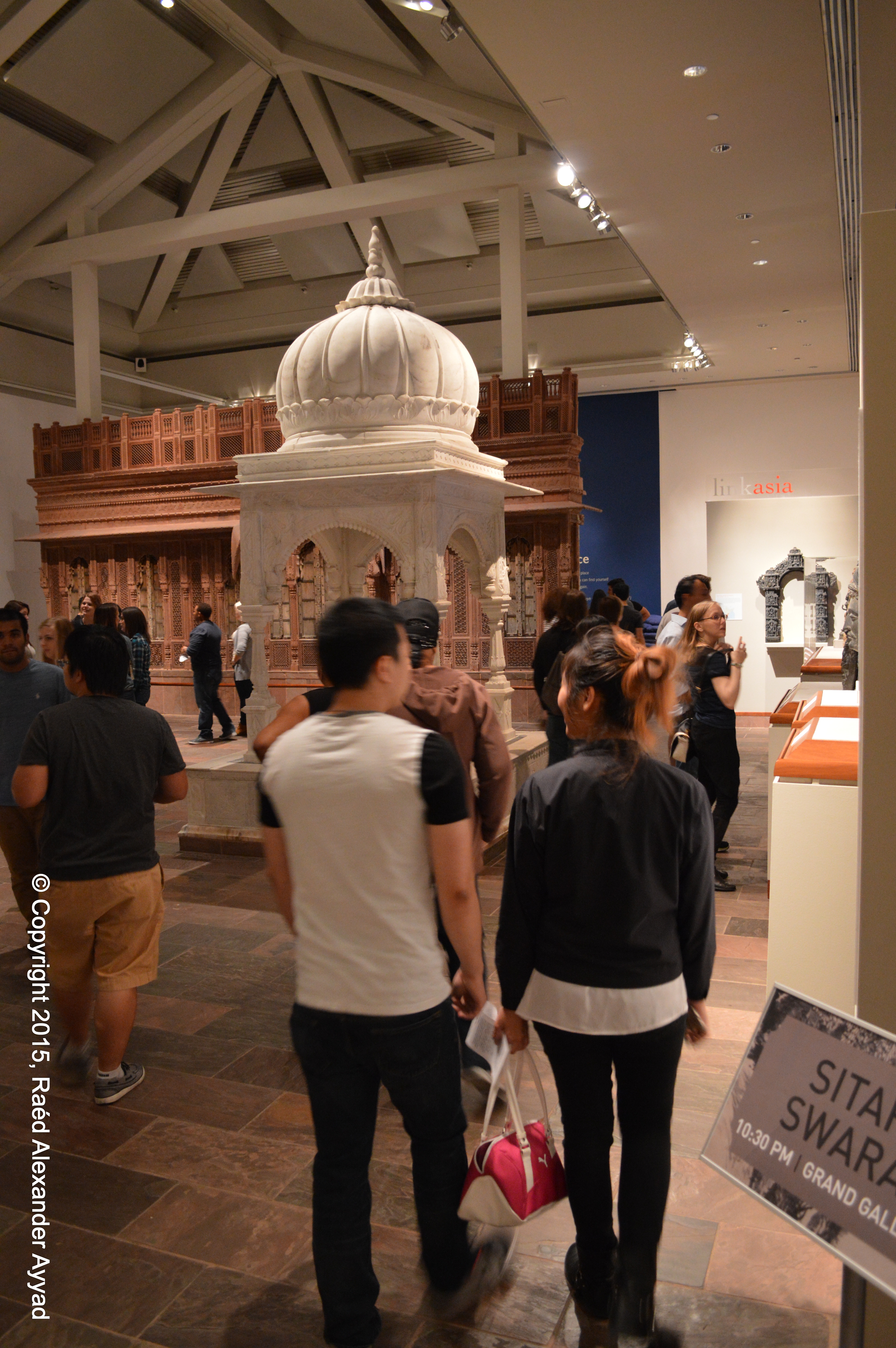
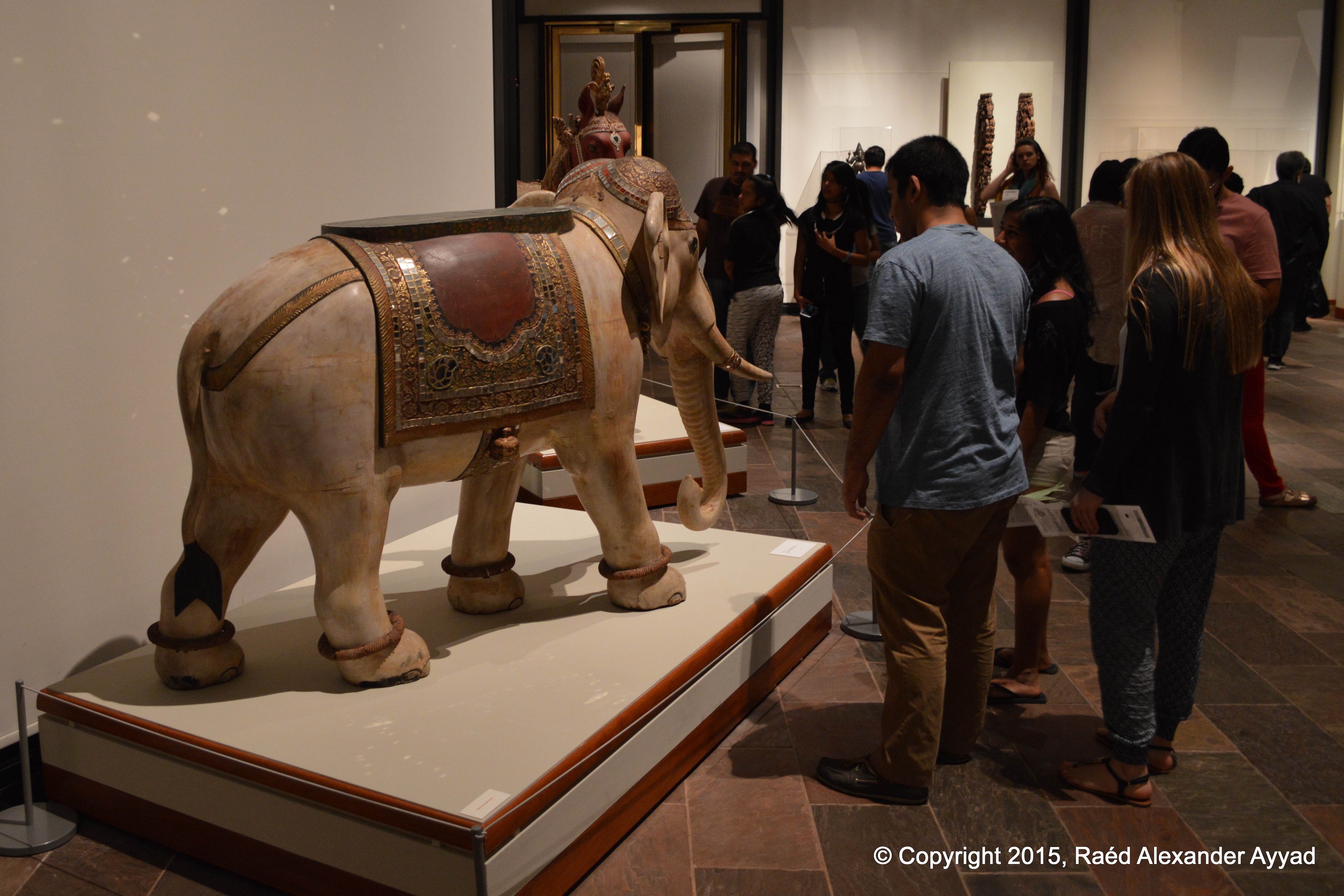
Arts District in Dallas offers from Museums, to other venues. Two of the
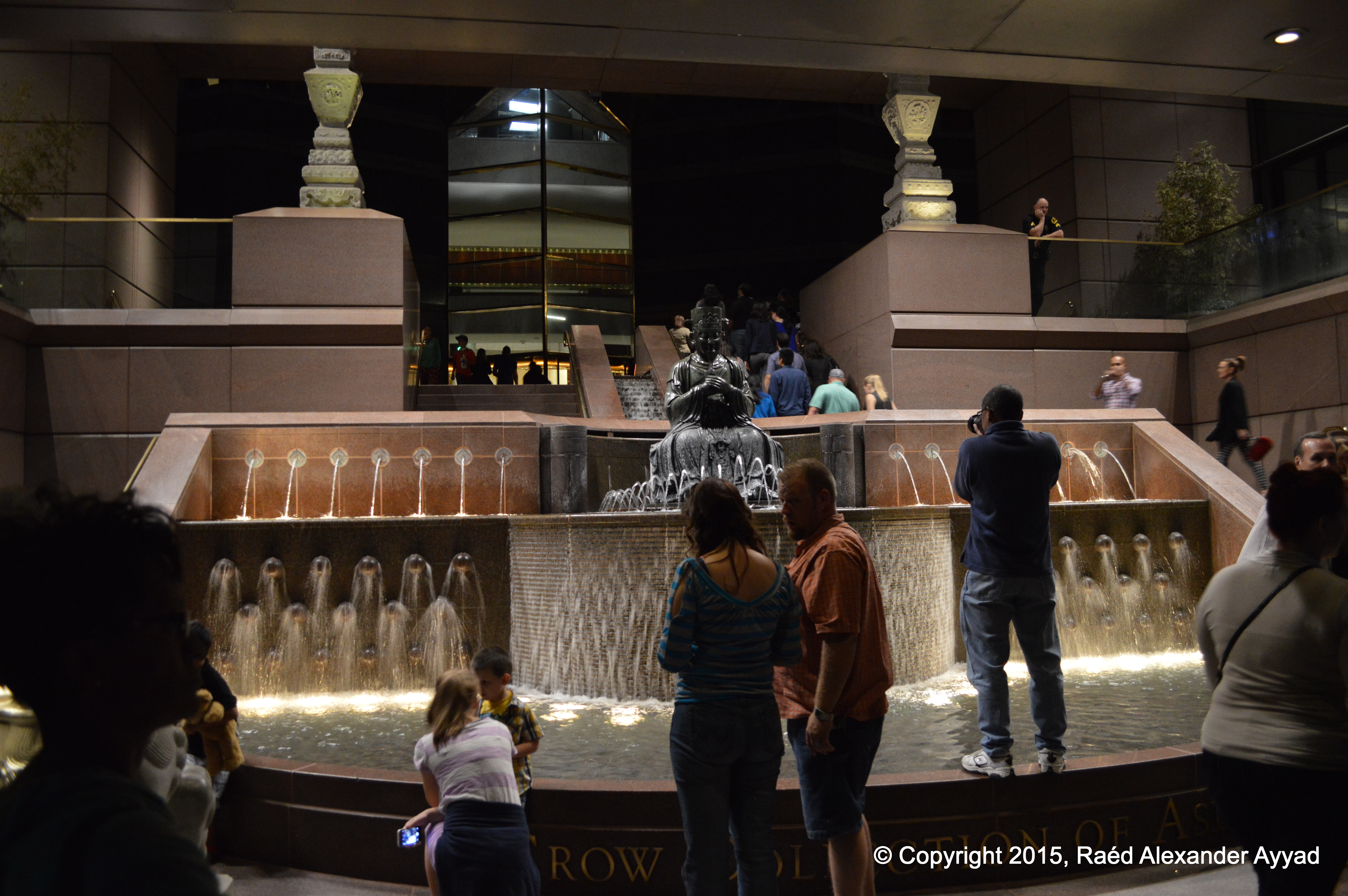
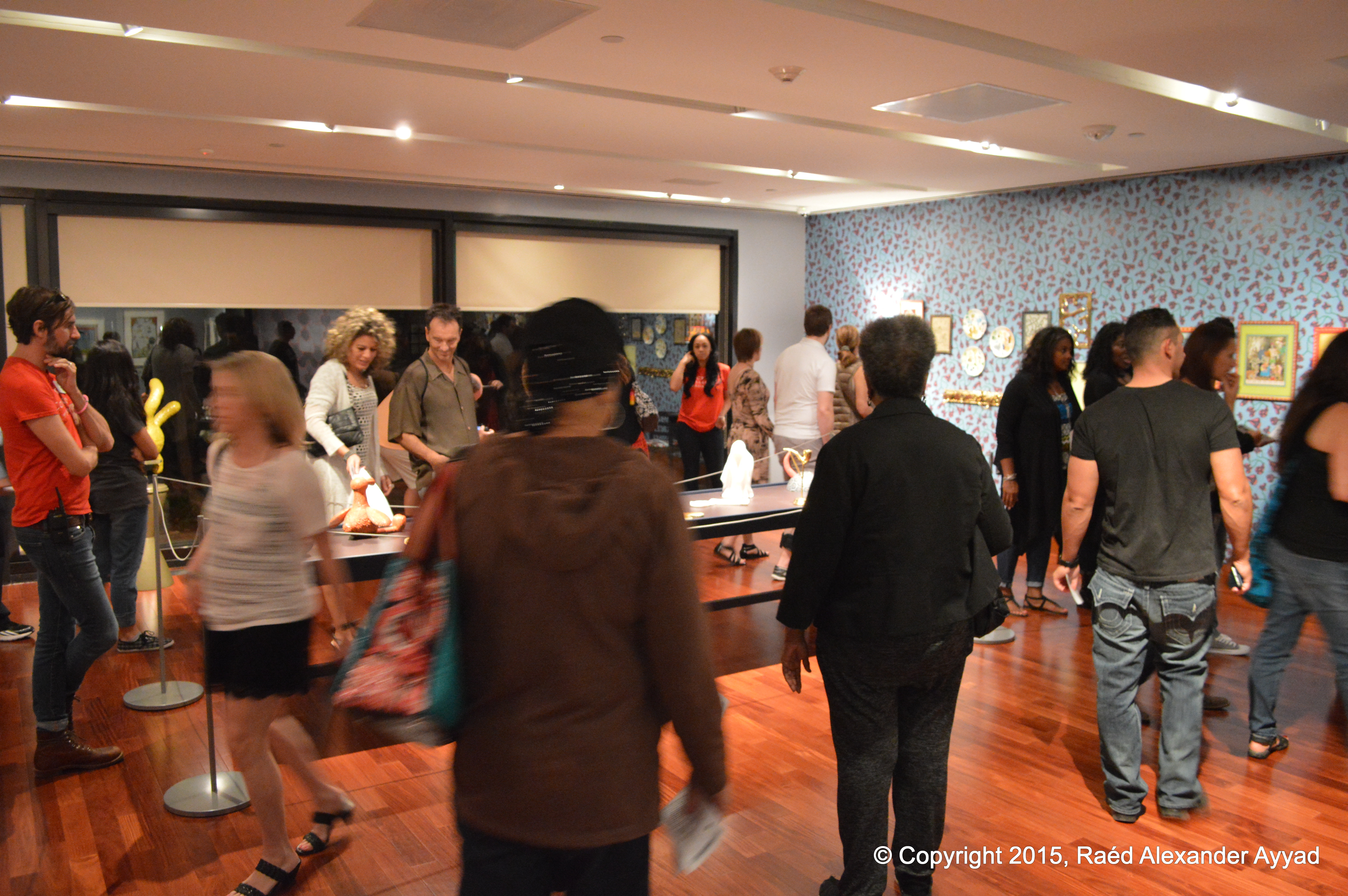
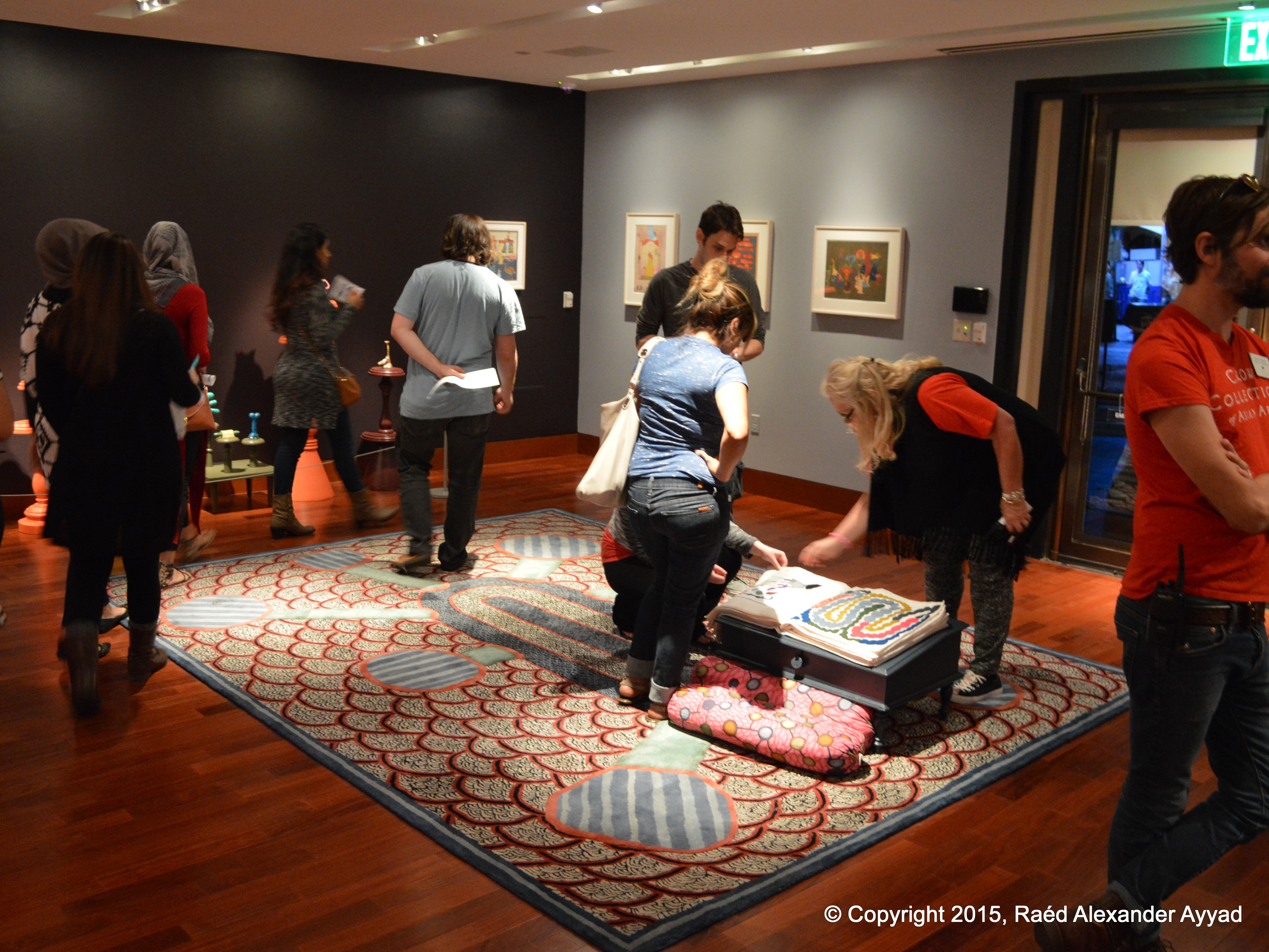
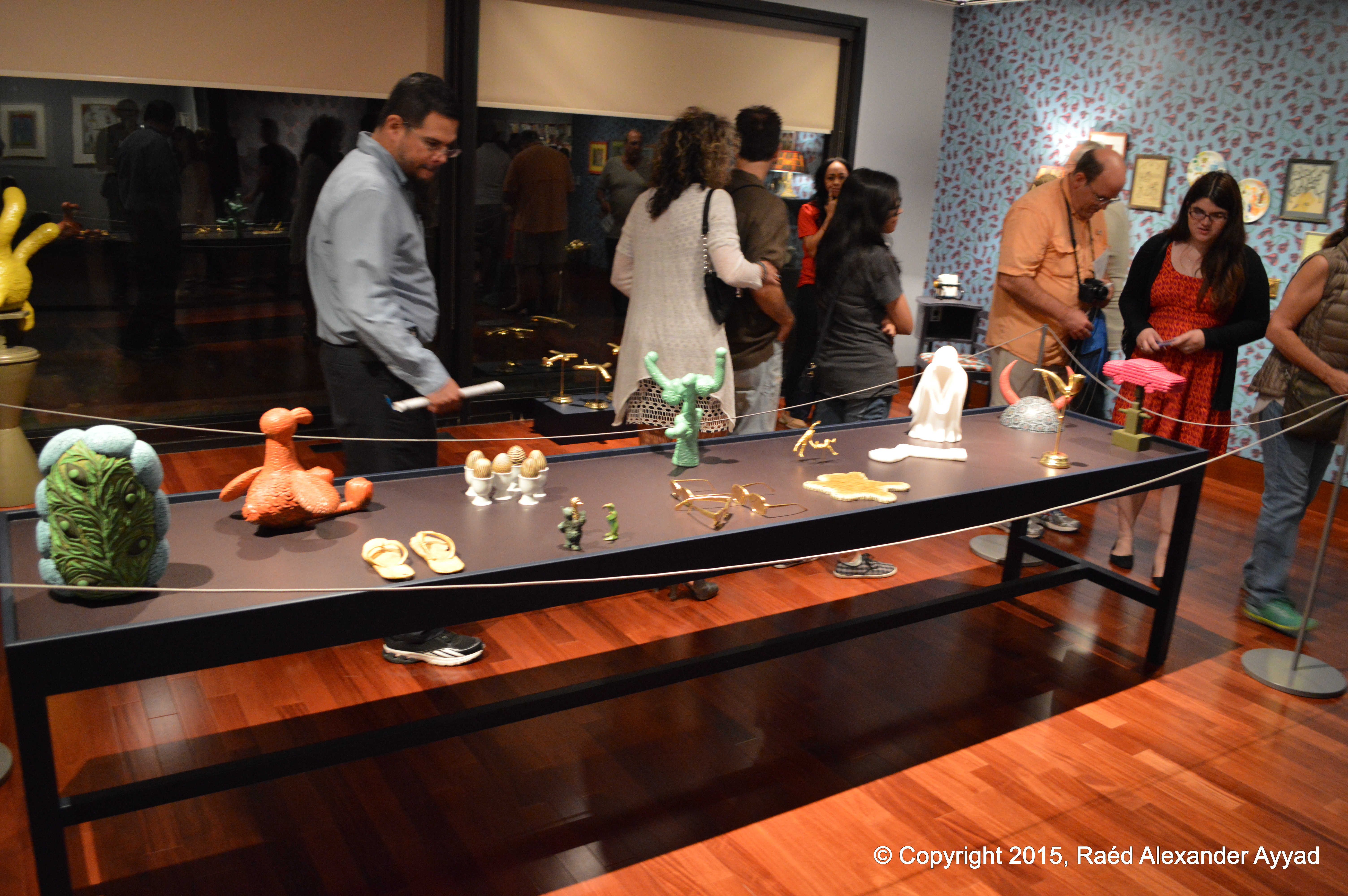
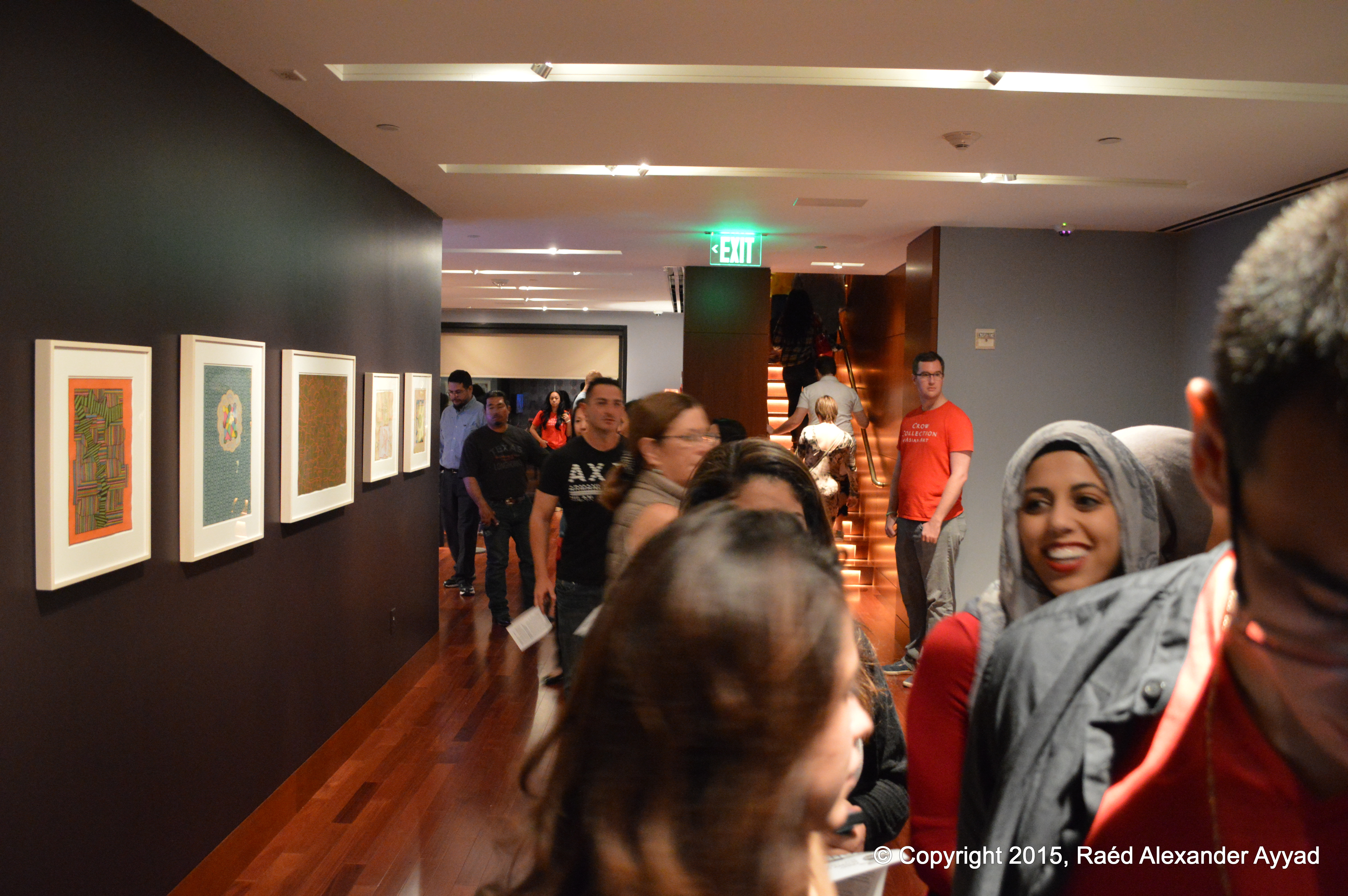
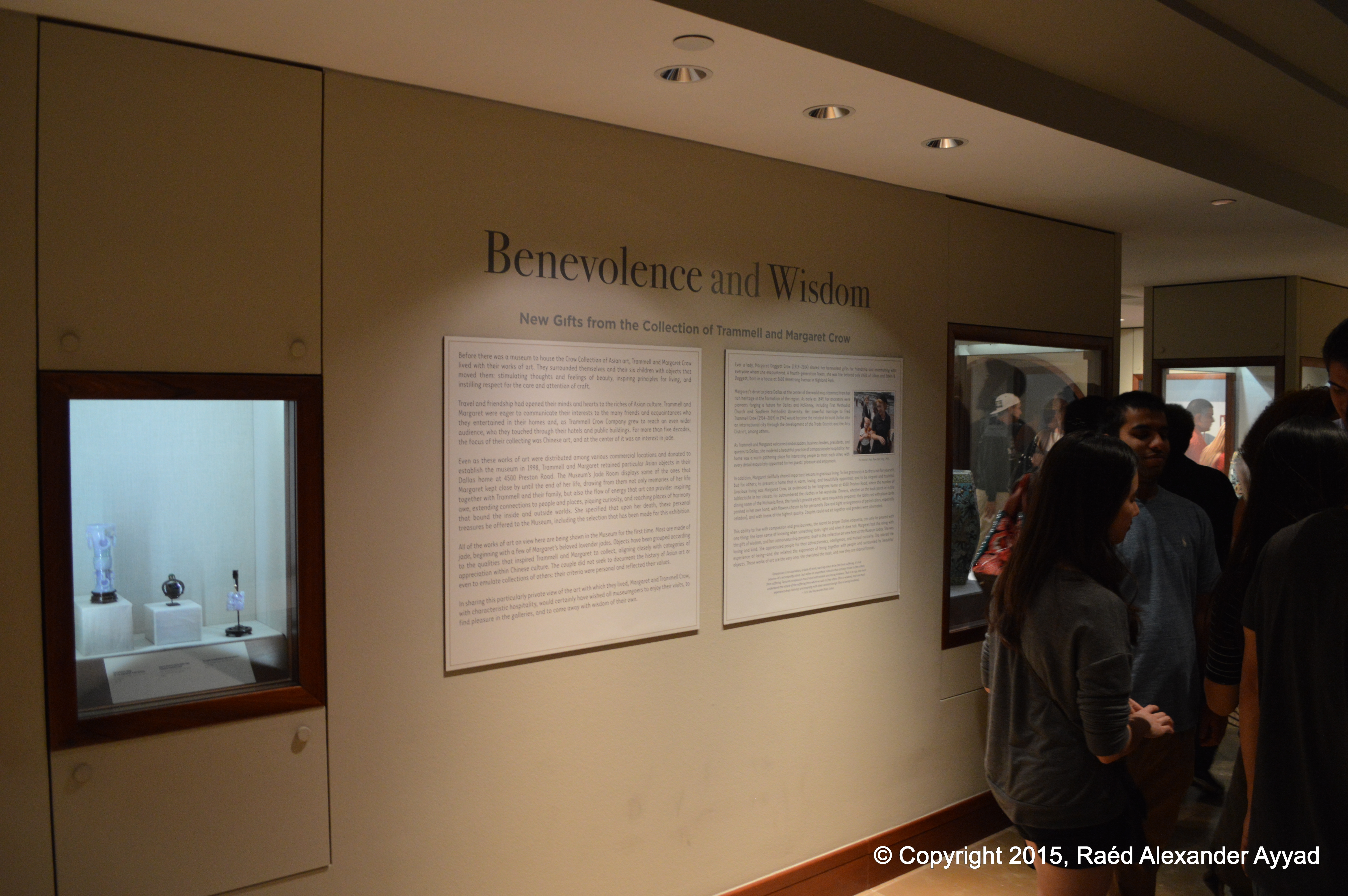
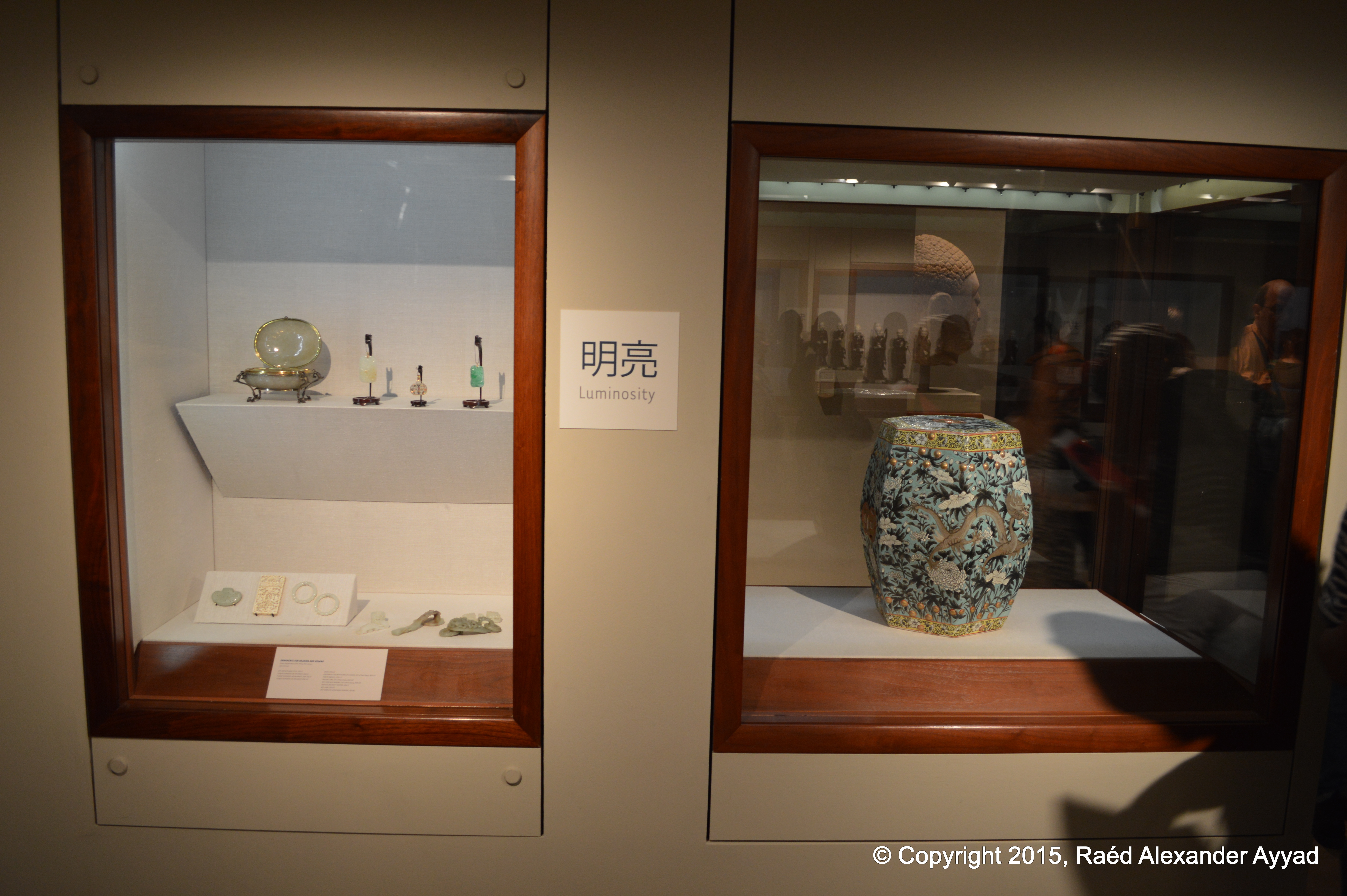
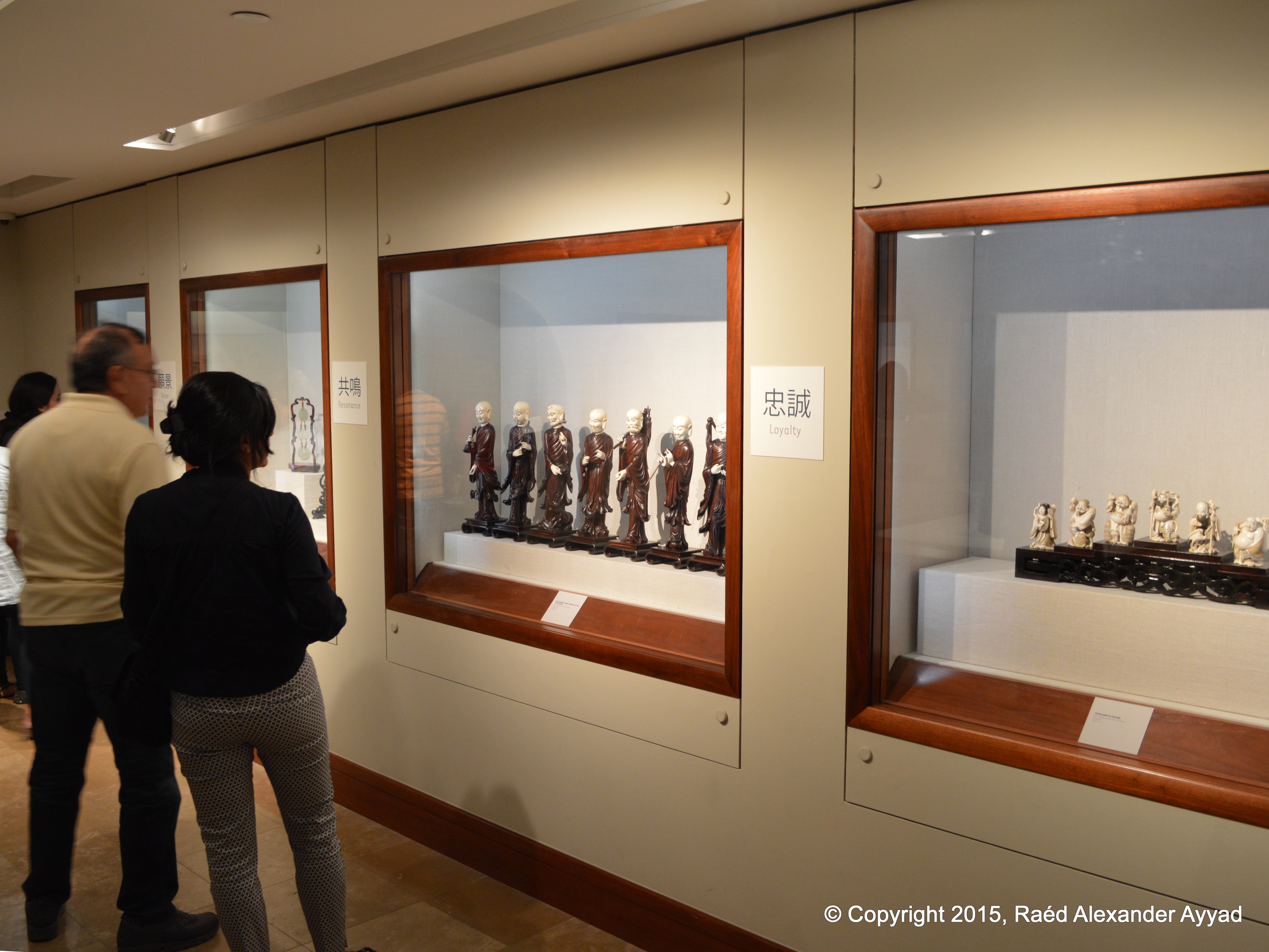
several places I visited were the Crow Collection of Asian Art, and
the Nasher Sculpture Center.
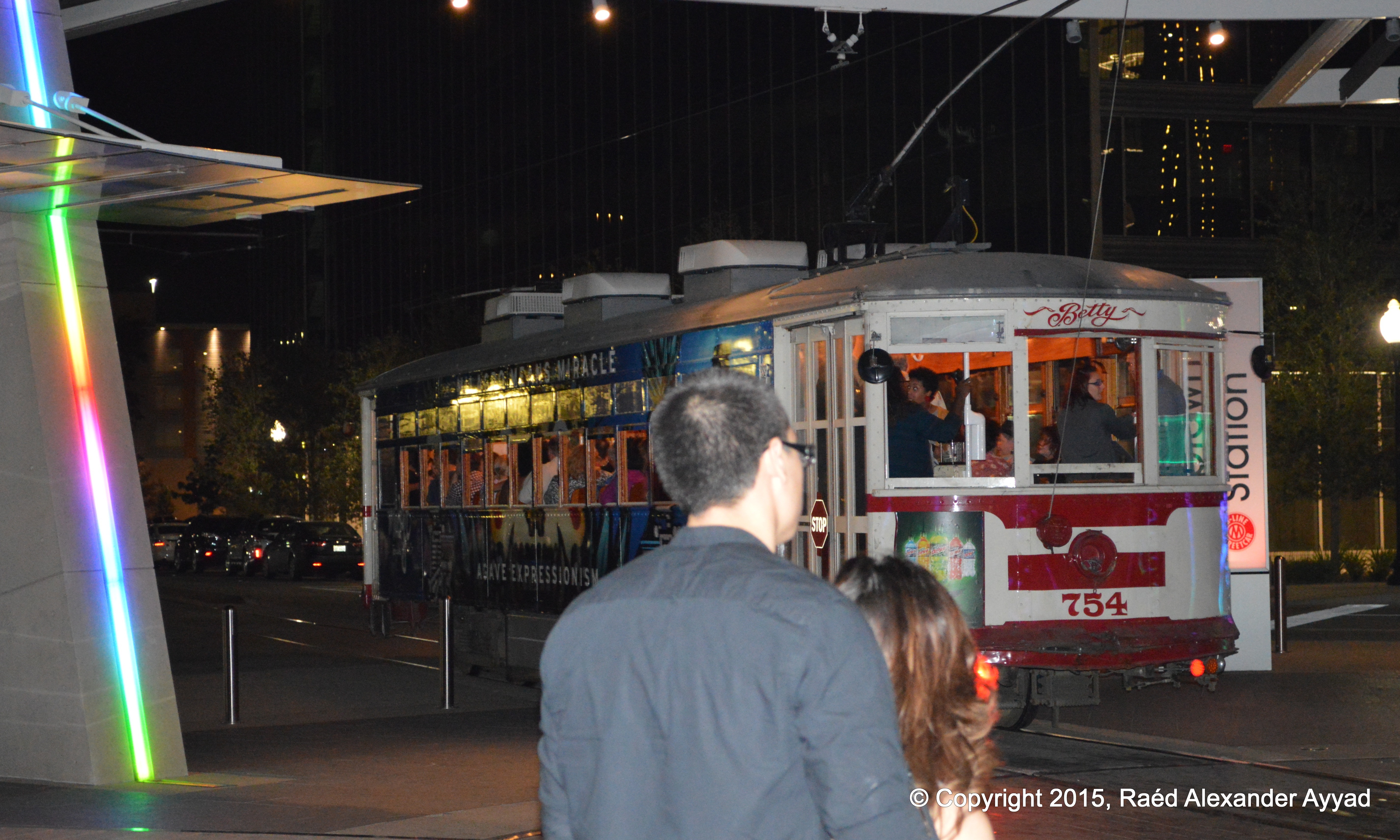
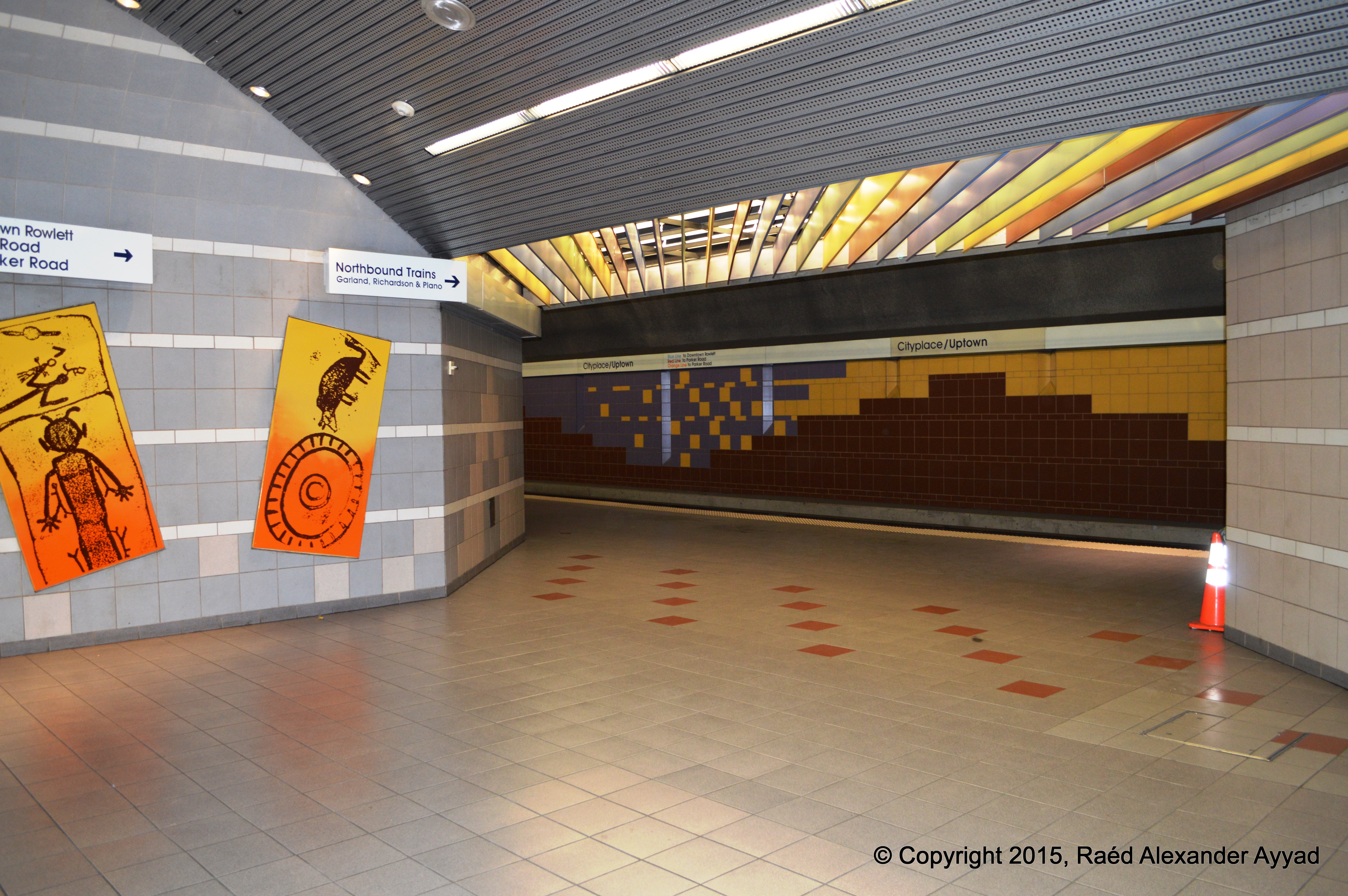
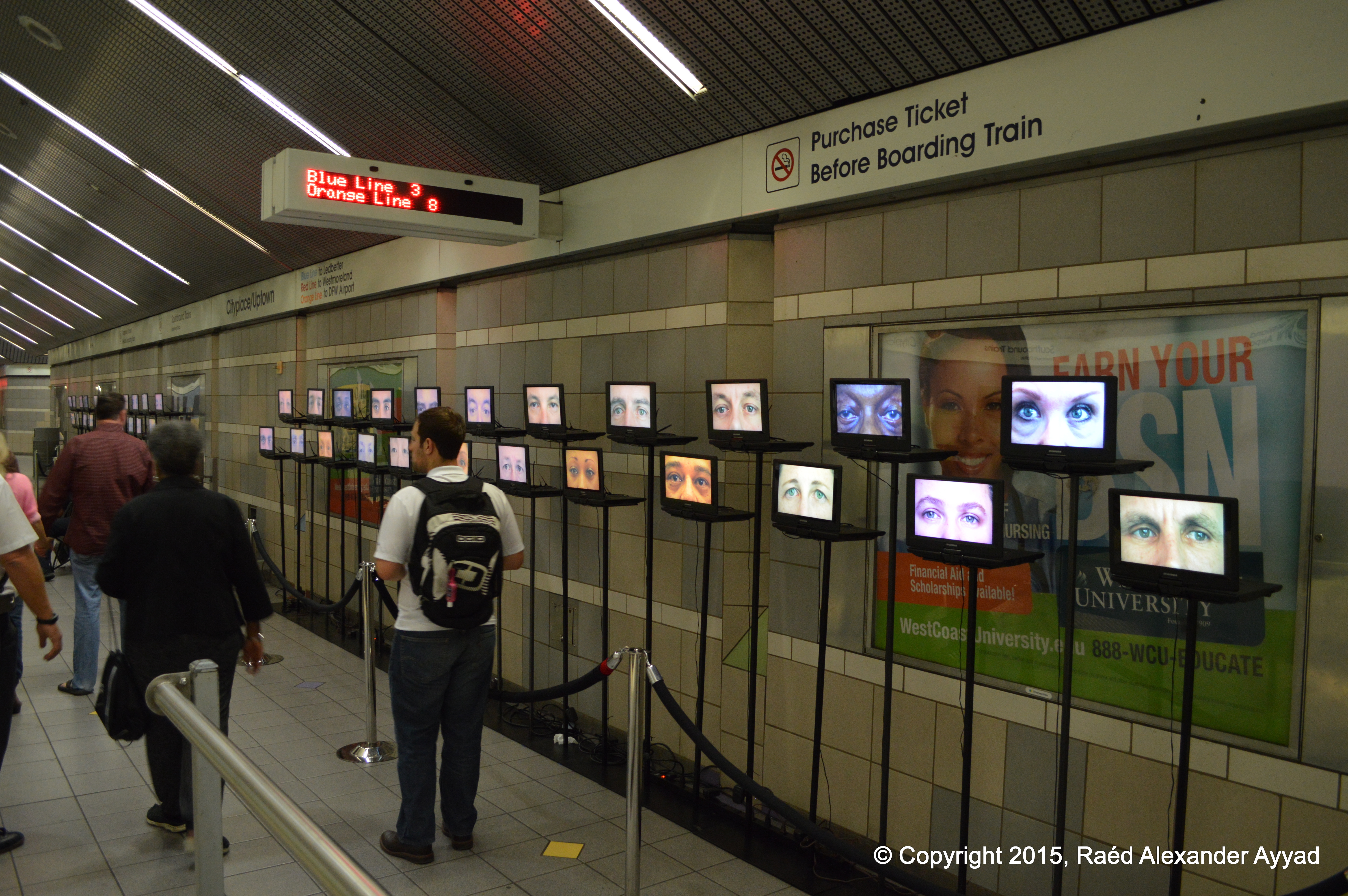
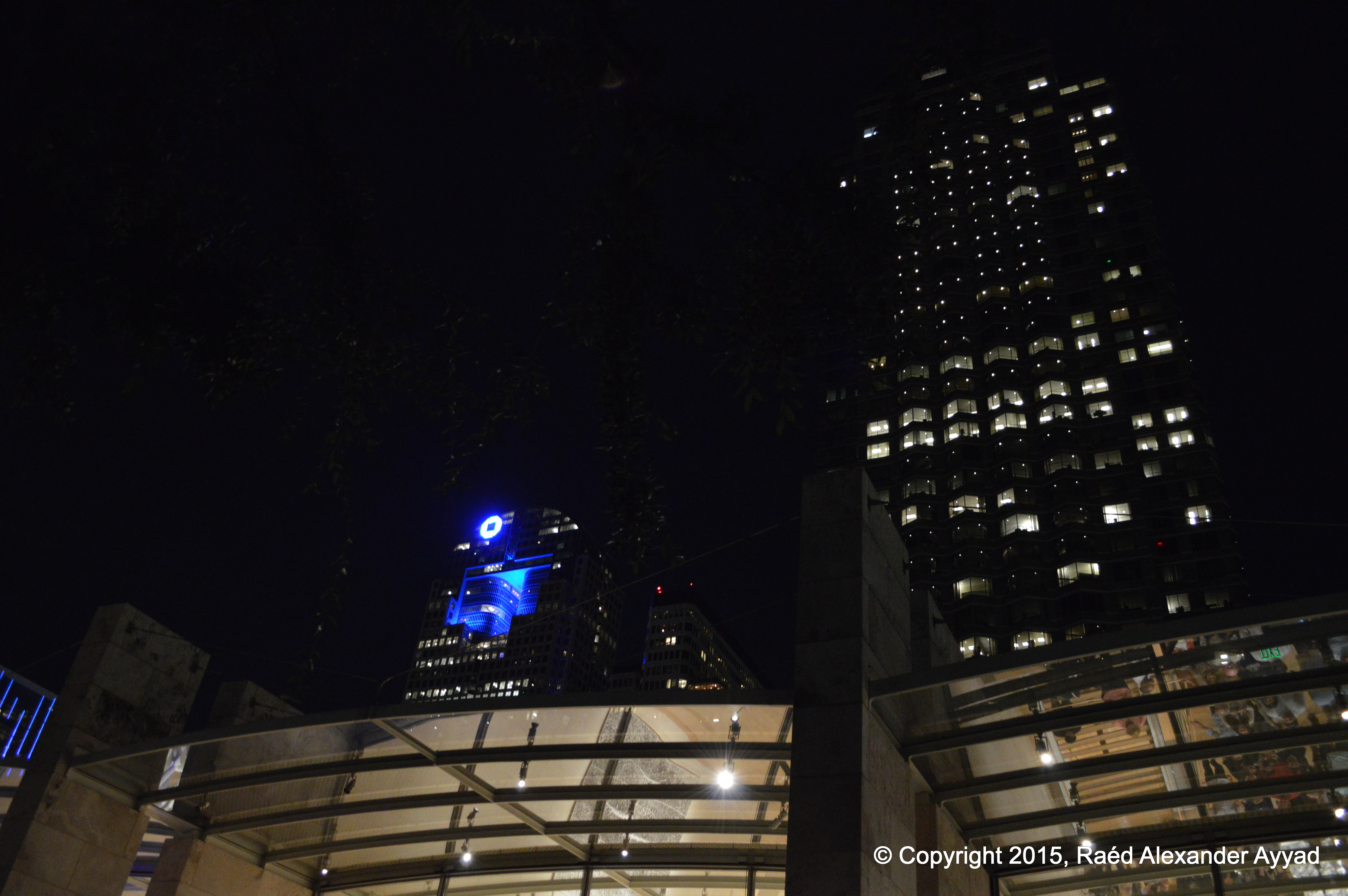
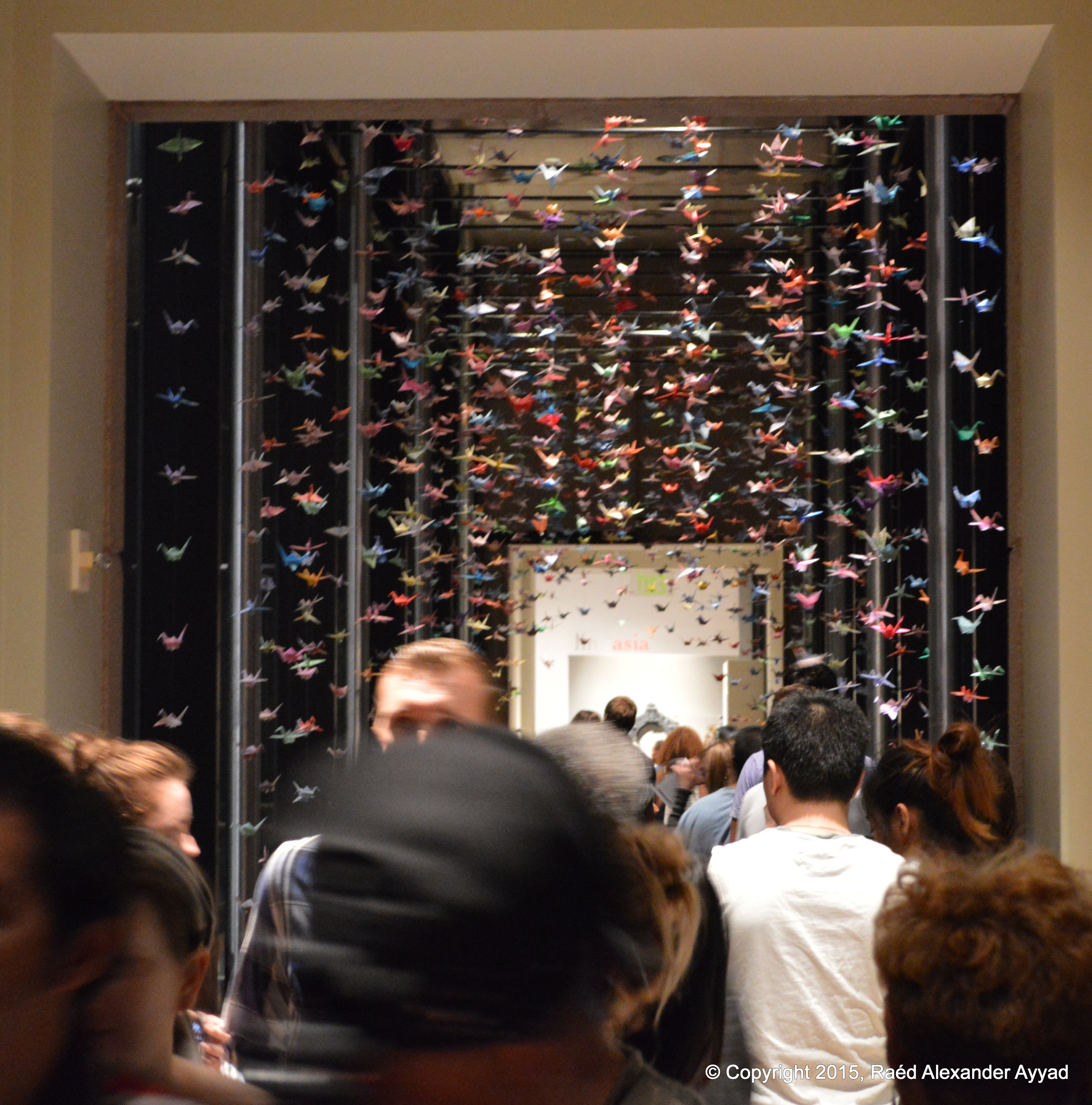
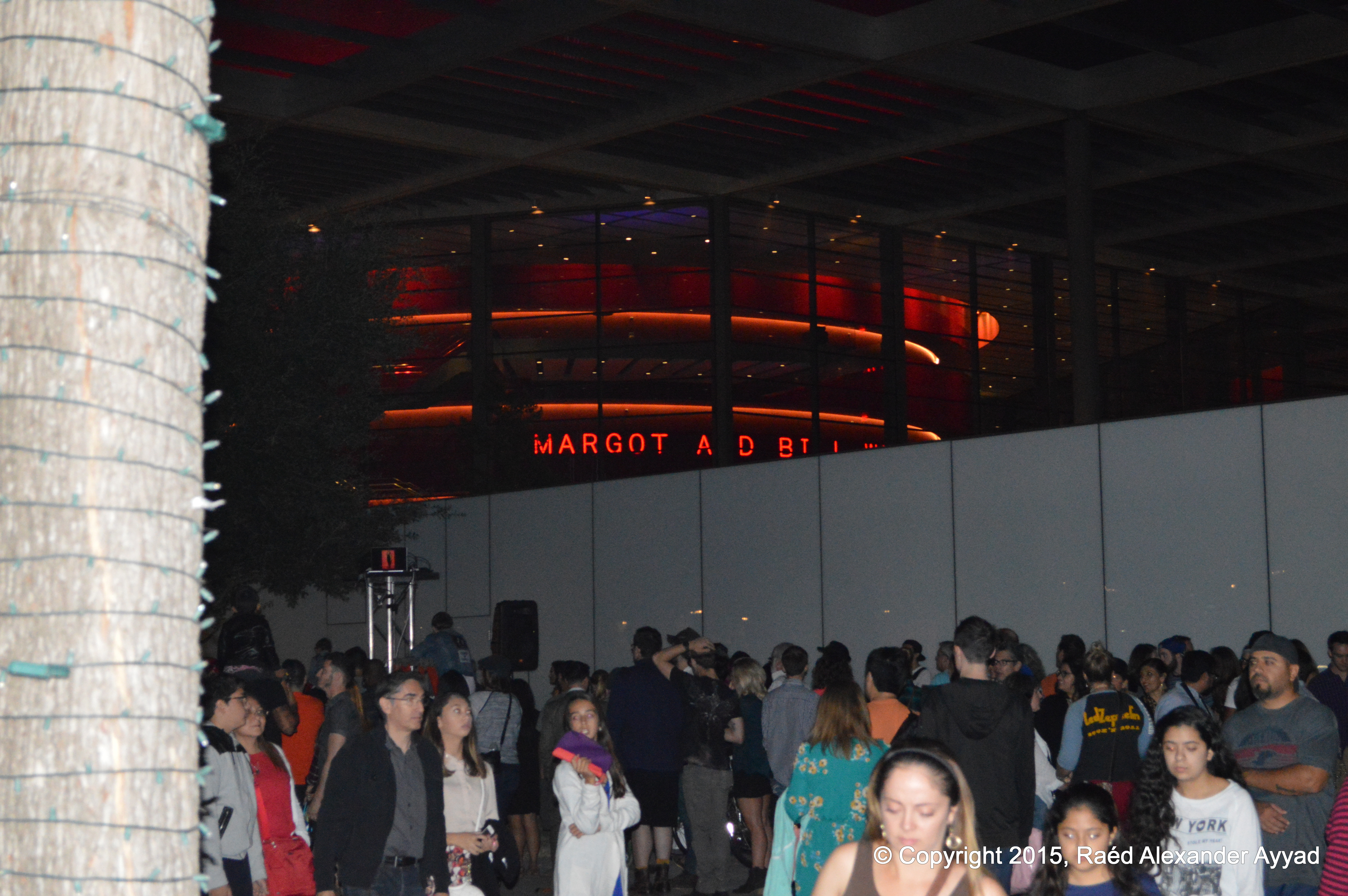
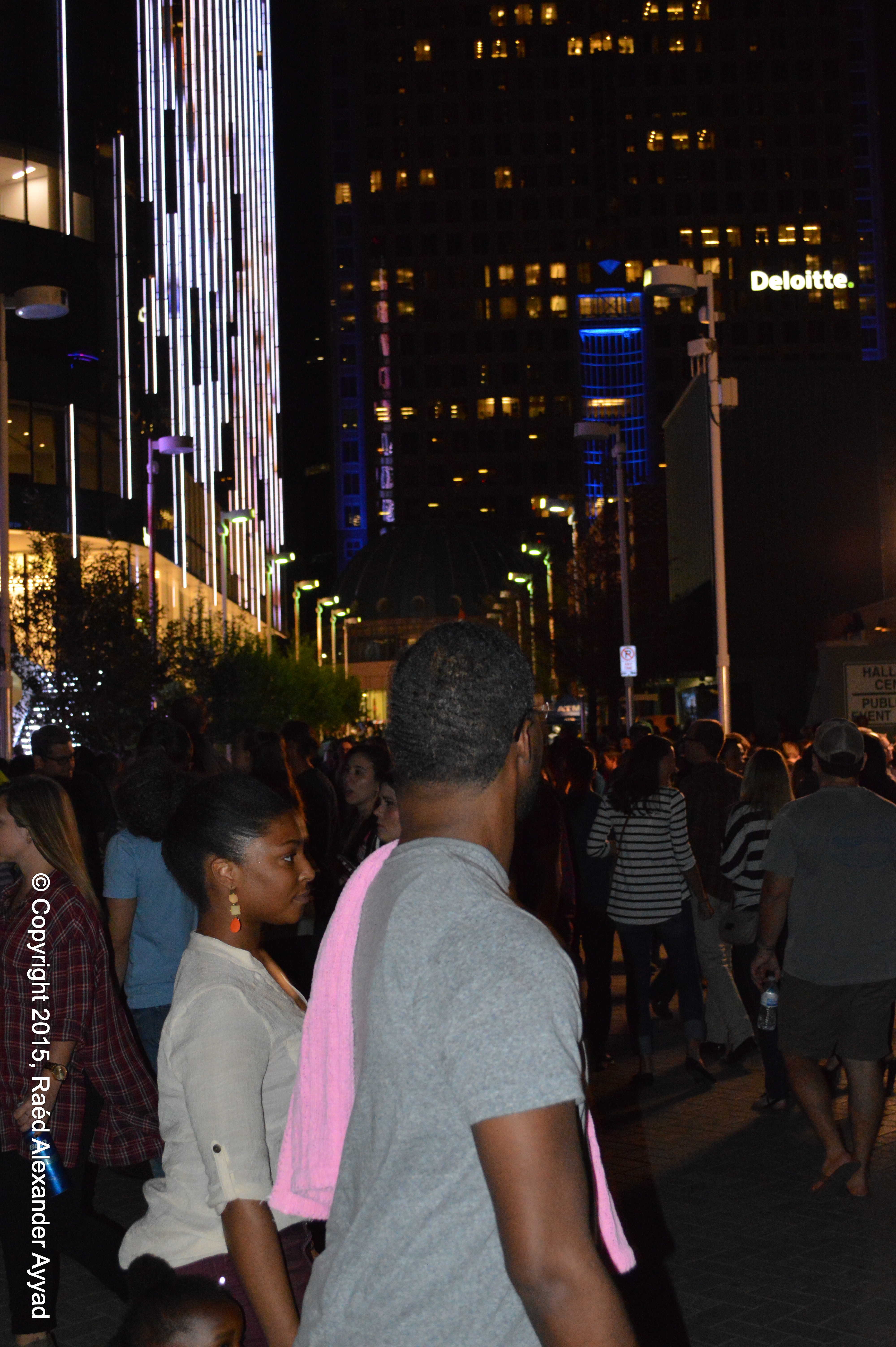
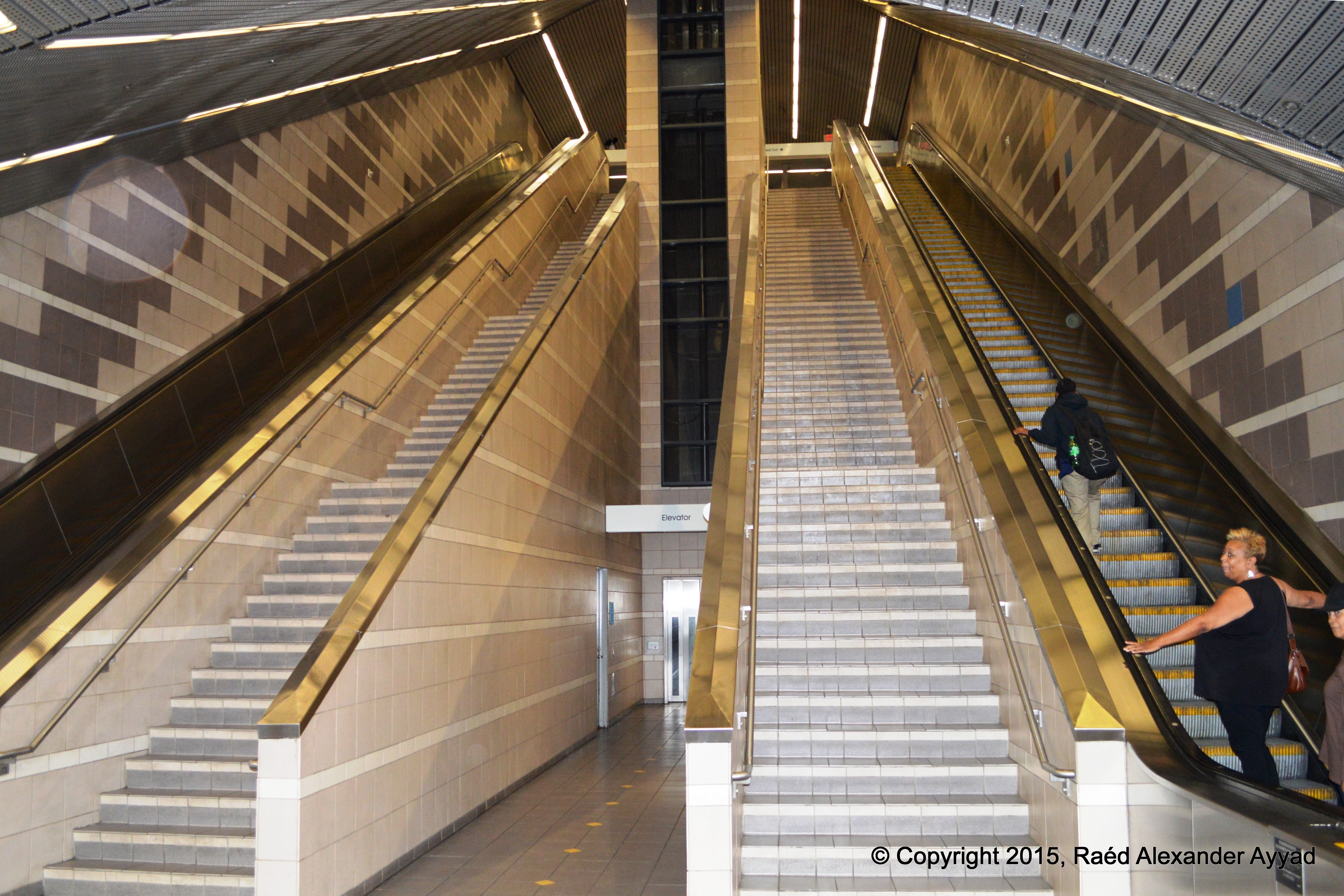
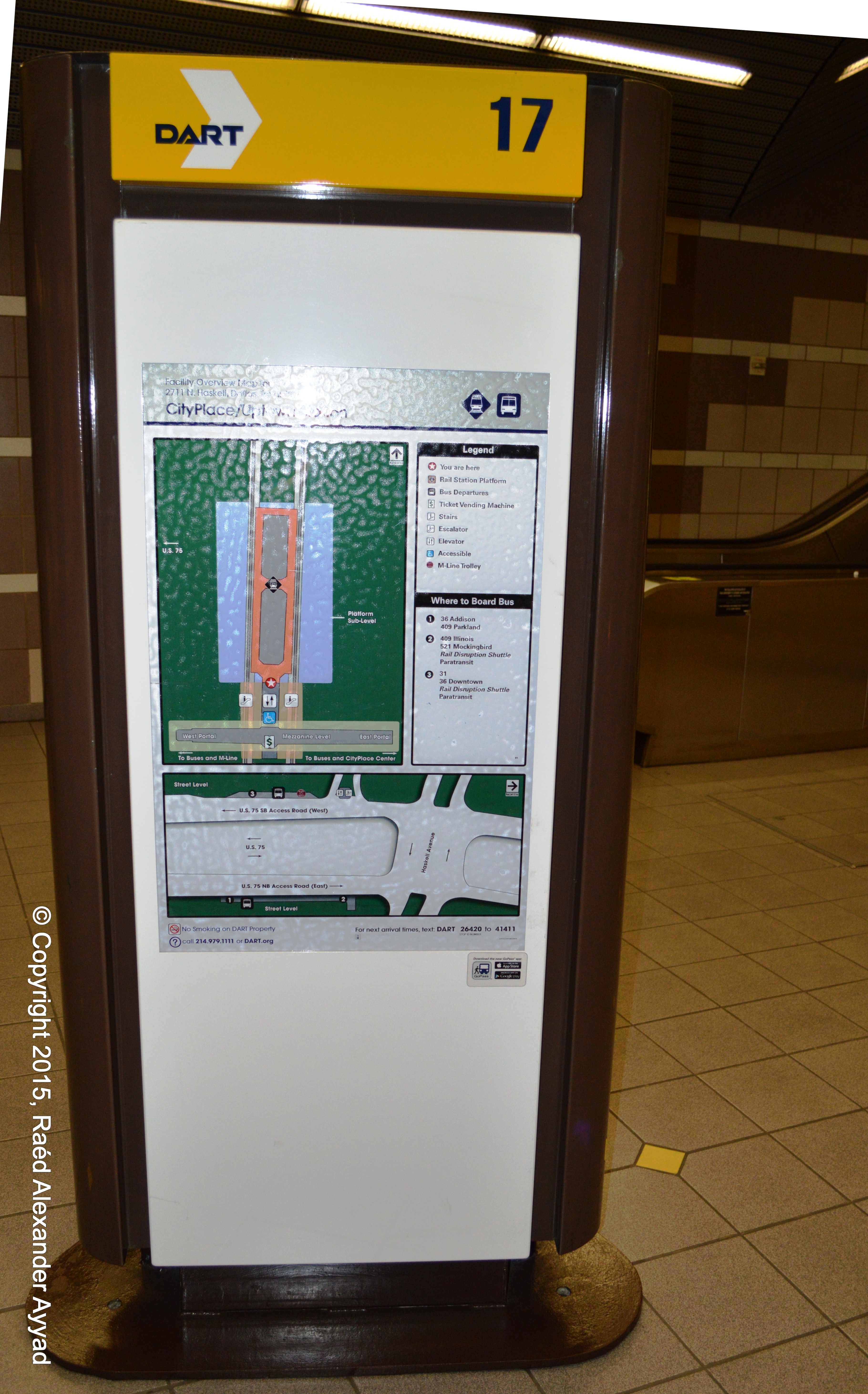
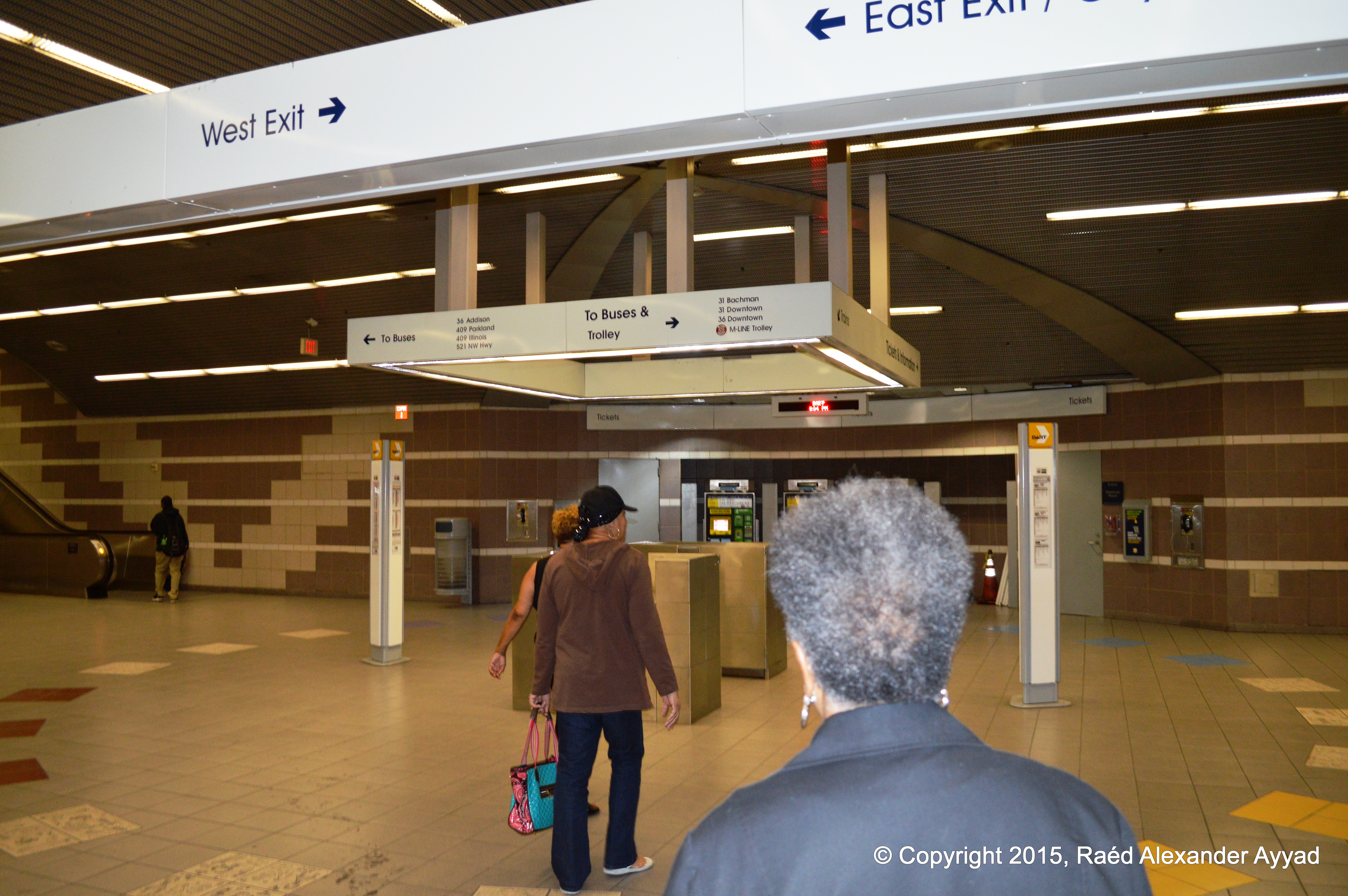
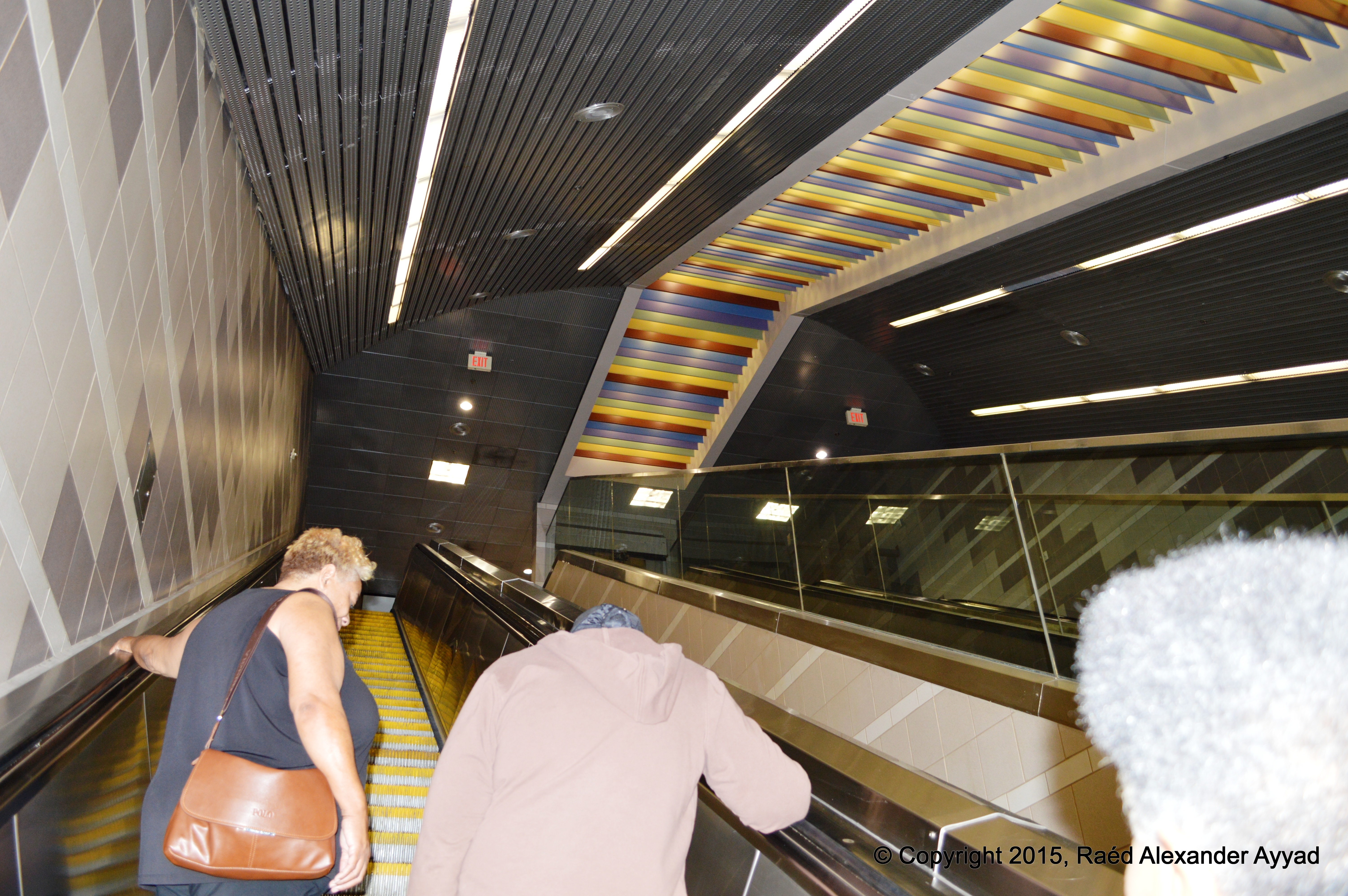
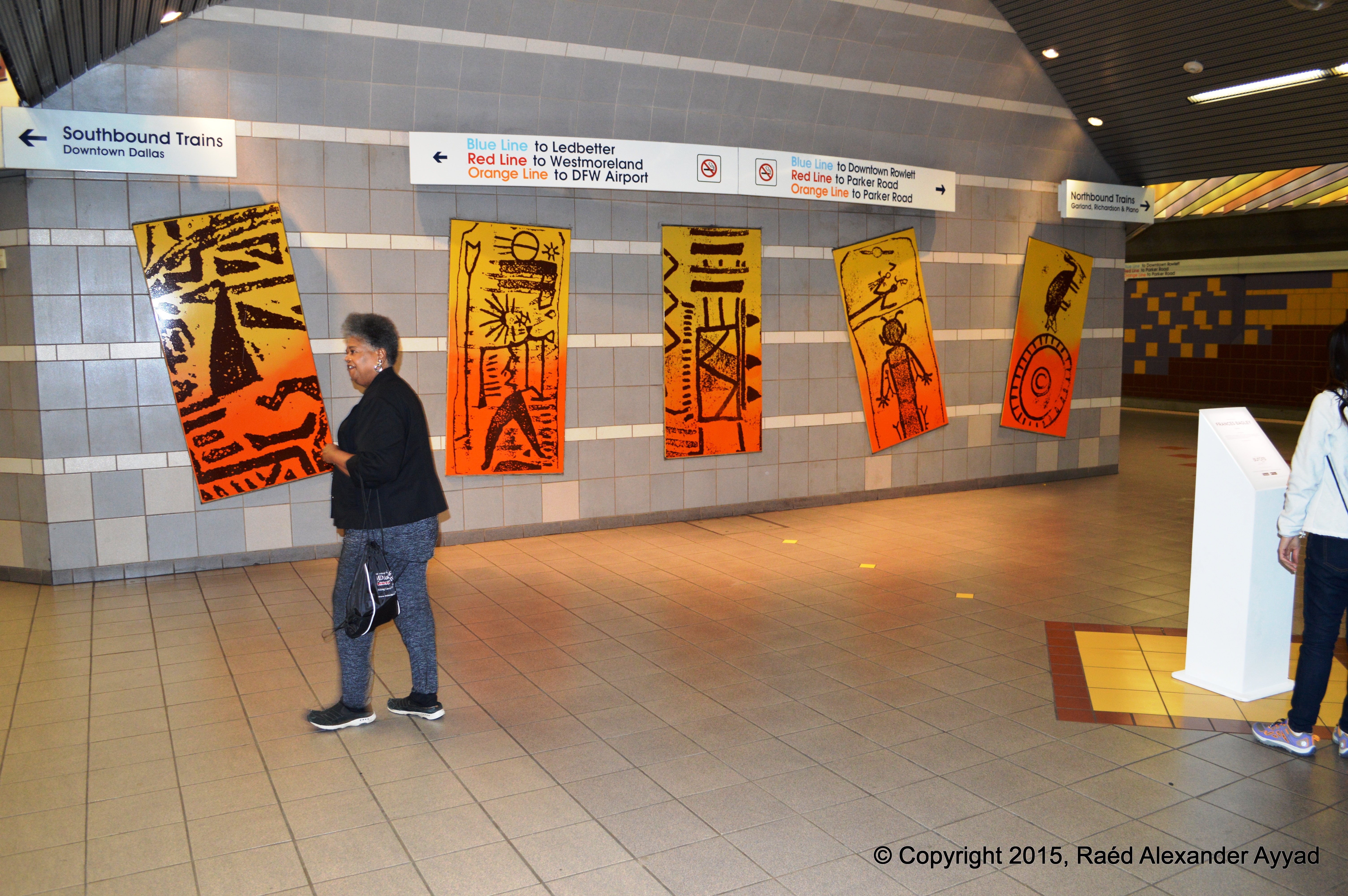
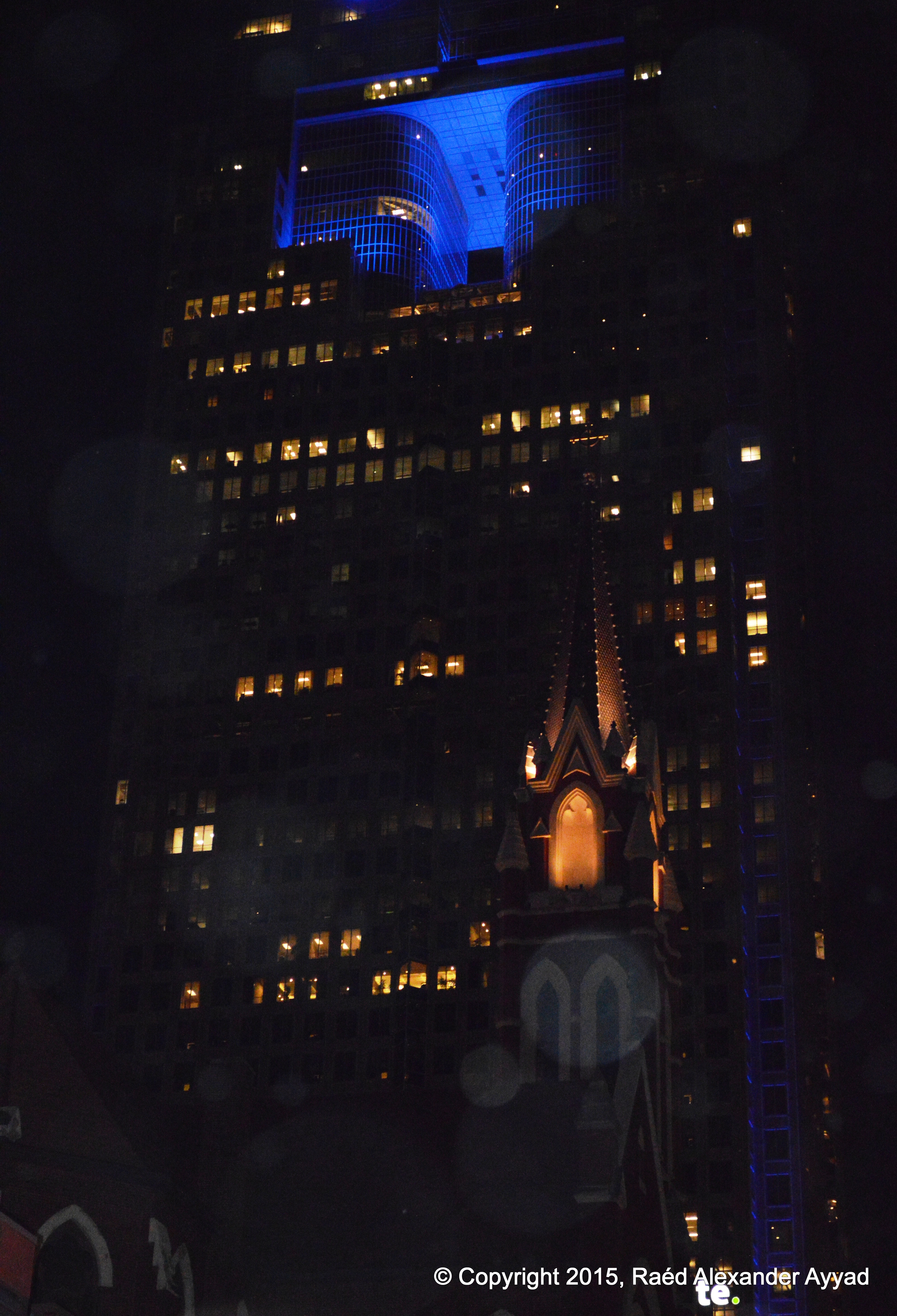
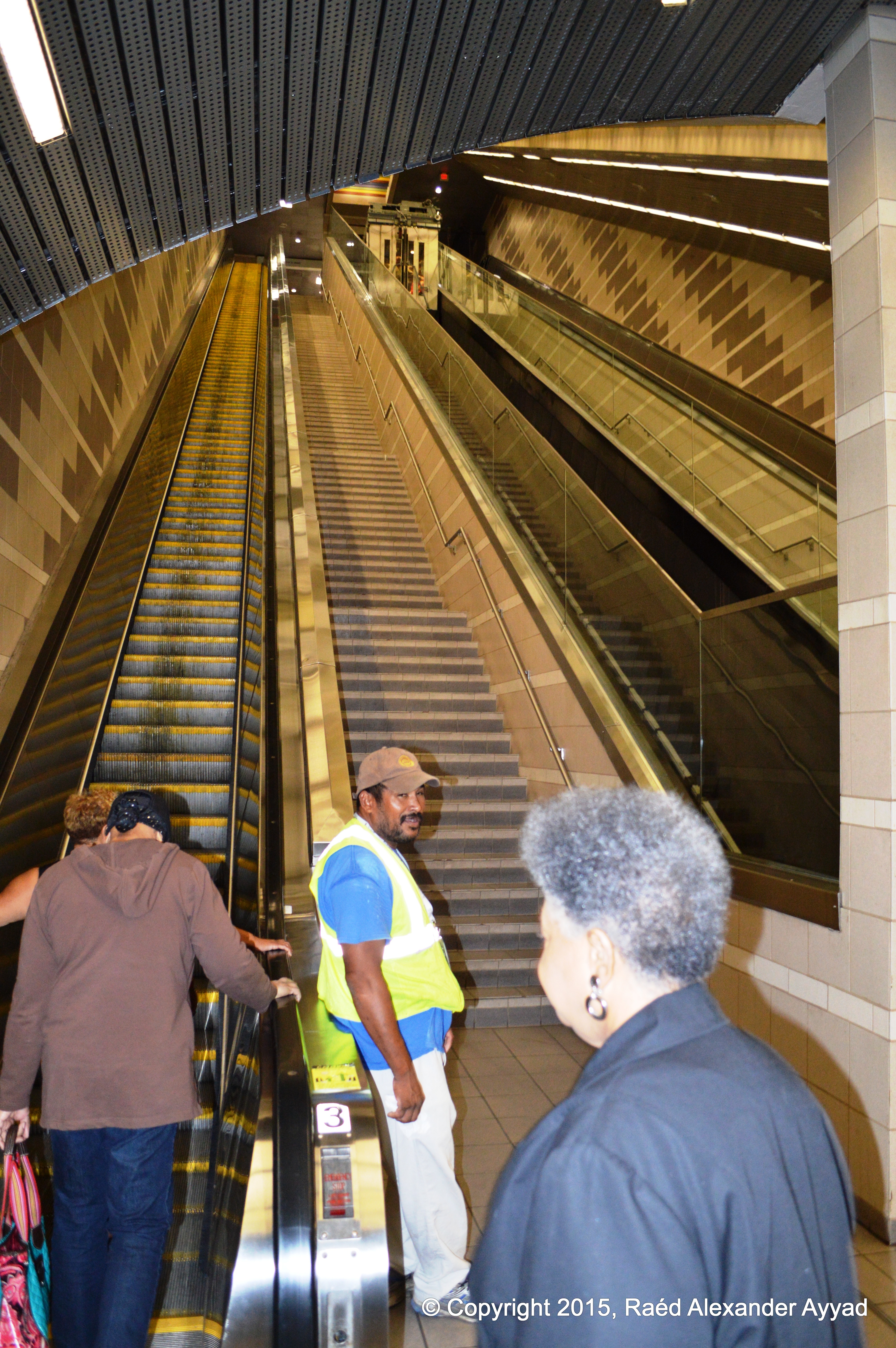
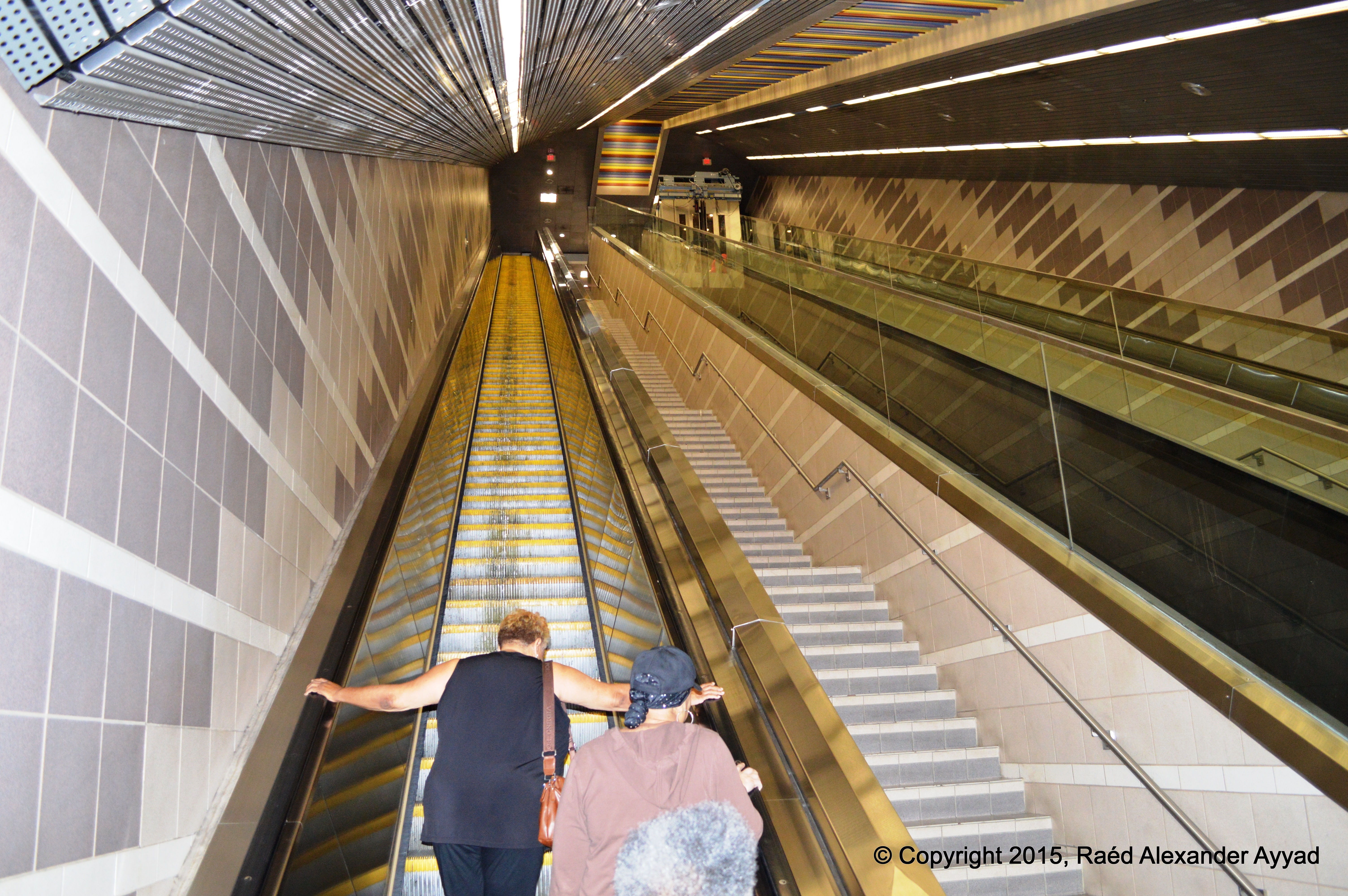
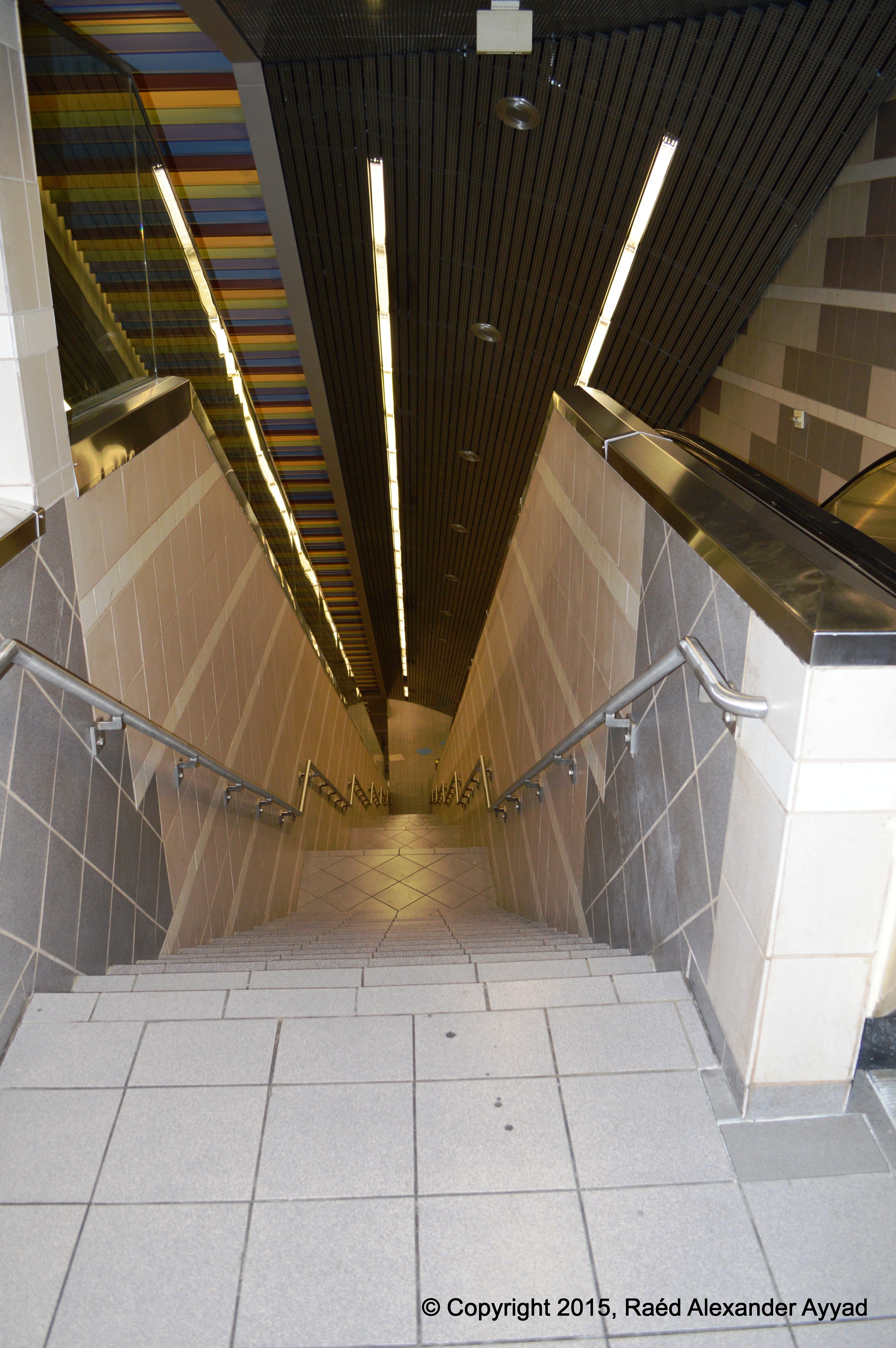
The
Dallas Area Rapid Transit (DART) train stations were part of the
event too, where visual art productions were displayed, including but not
limited to the Eye's expo... which was setup at the Uptown Station.
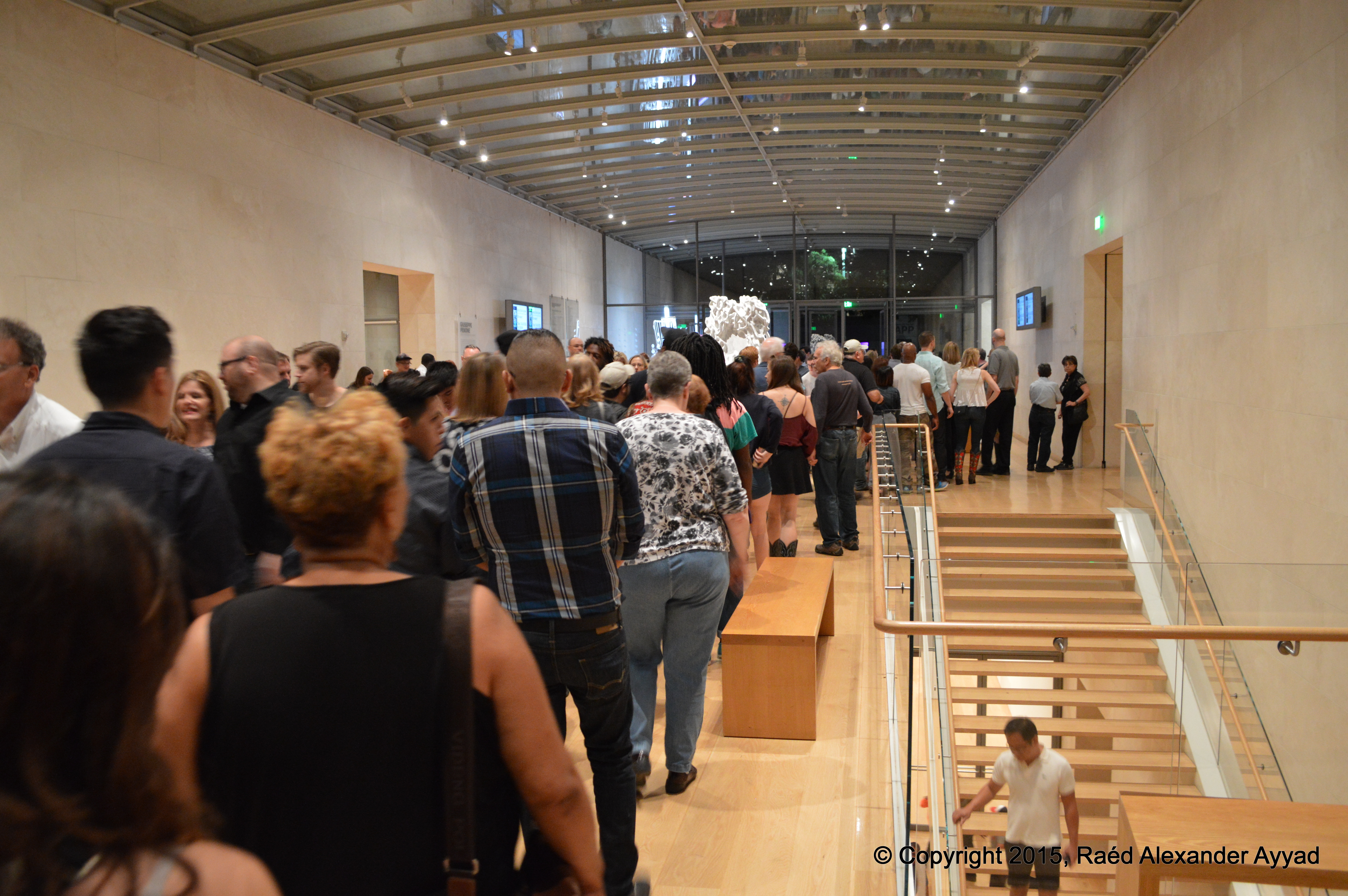
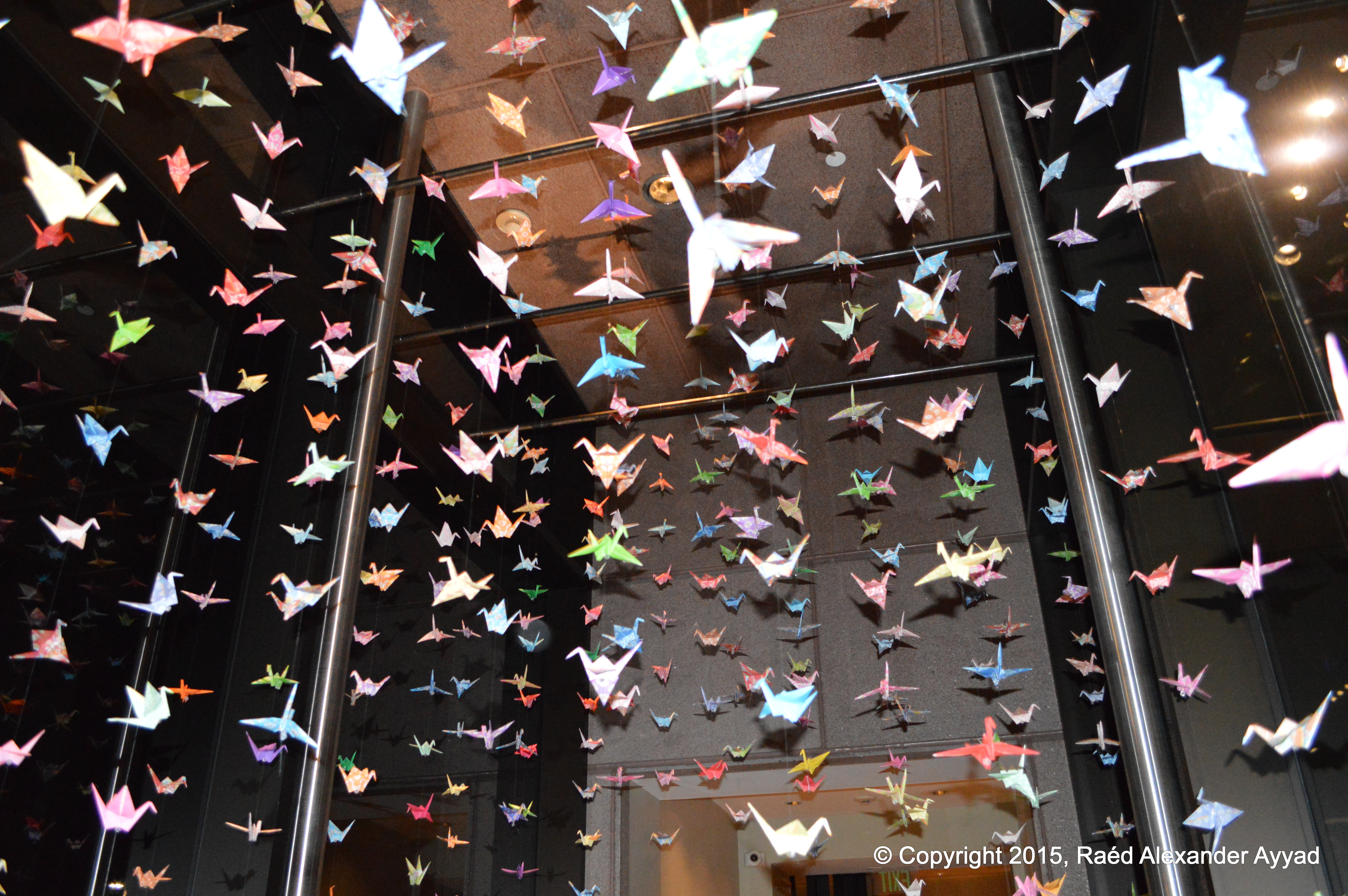
I managed to take some stills, which I will share with you,
but, please understand that, often, I was not able to use the camera flash in this
setting of dynamic and constant movement -choosing to adhere to the proper etiquette of
being in such an environment... I did my best to keep a steady hand, and to
minimize any blurring! ... enjoy:
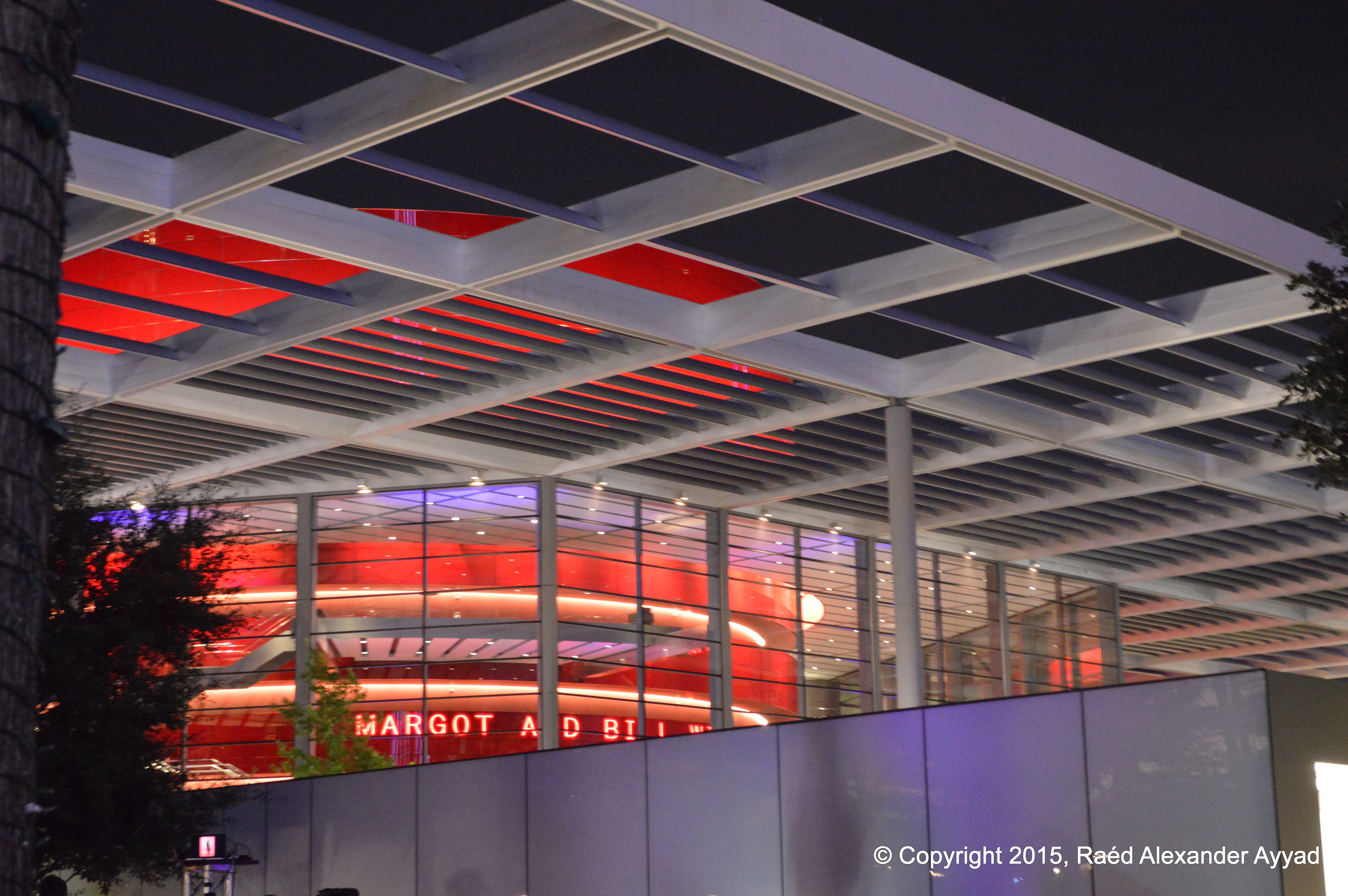
I must say that even though I frequent the Dallas Arts
District, especially the
Morton H. Meyerson Symphony Center -one of the worlds great
orchestral halls, and the home of our Dallas Symphony Orchestra, I almost
did not recognize it! Talk about loosing situational awareness! But, I do
admit that it was awesome just to spontaneously interact and move among the
people and enjoy the event from the inside out.
The organizers plan to make Aurora a regular
attraction in Dallas, so, I do hope to see you at next event! To learn more,
you can visit the event's website at:
http://dallasaurora.com/
.
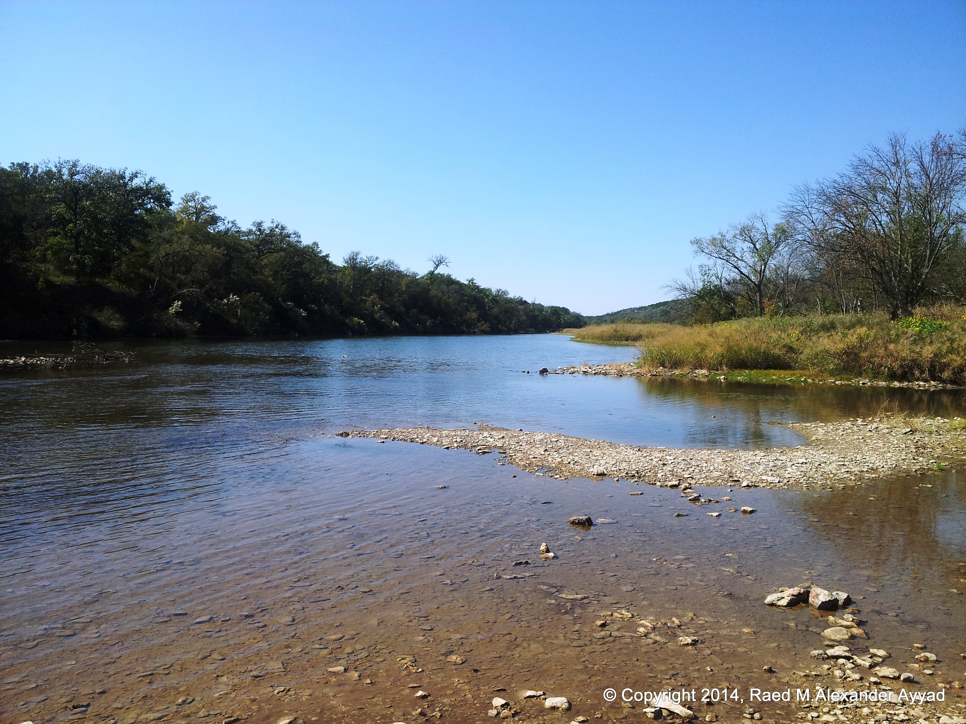
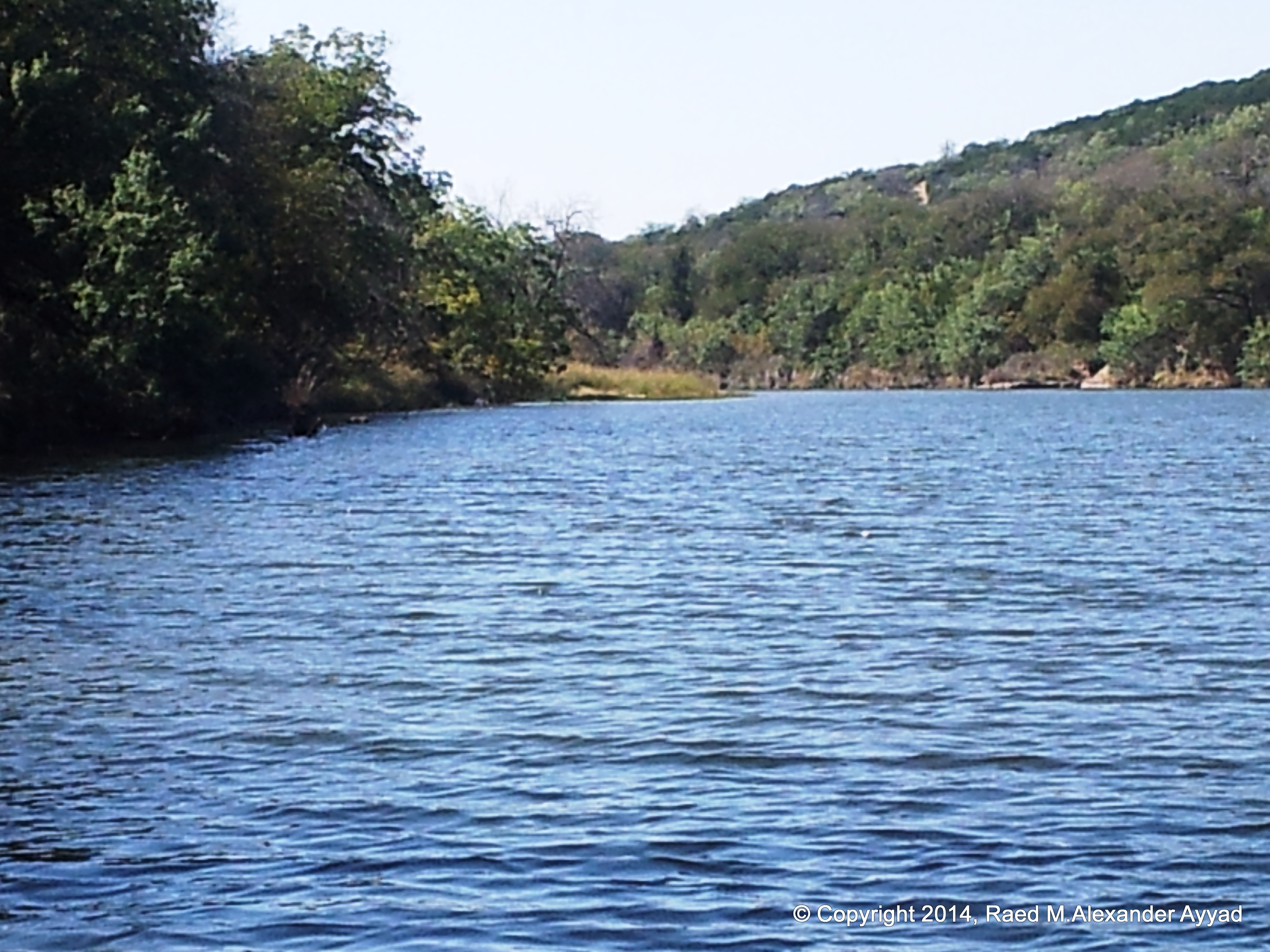
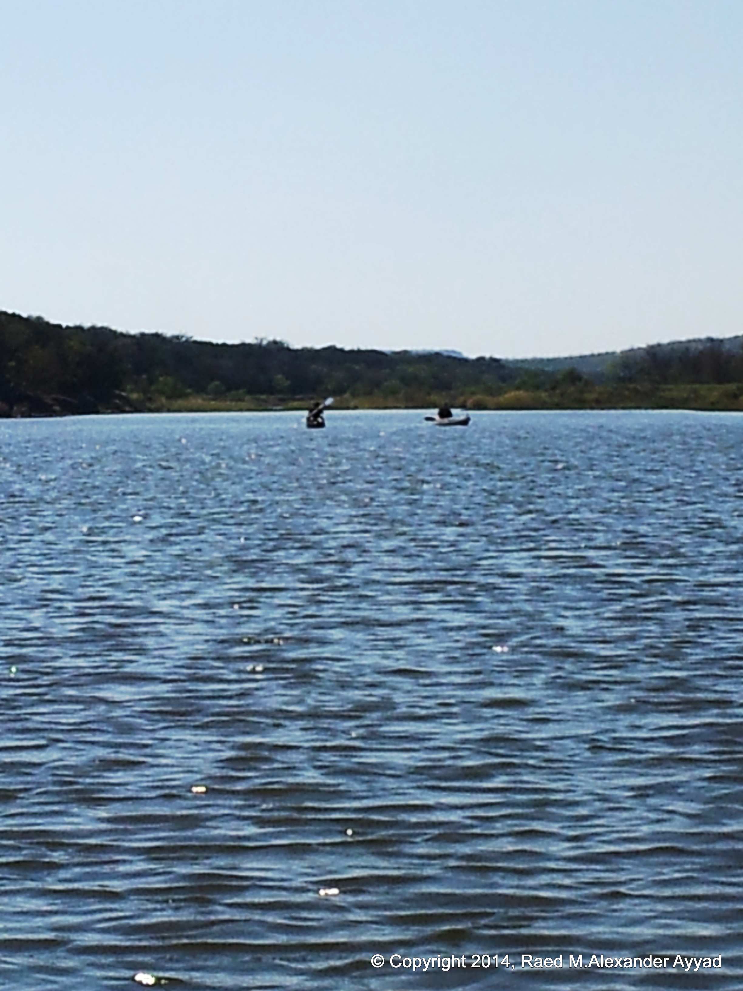
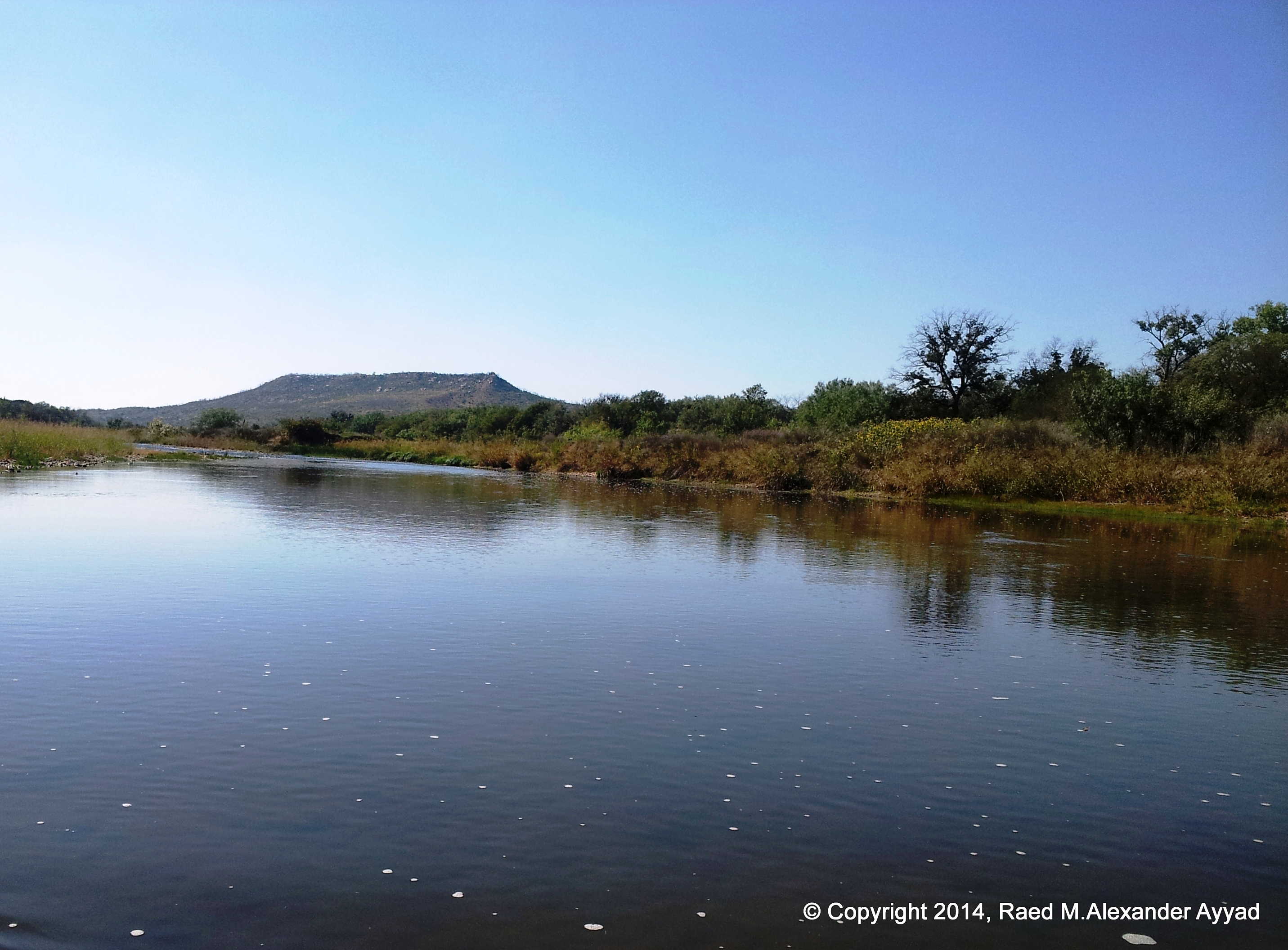
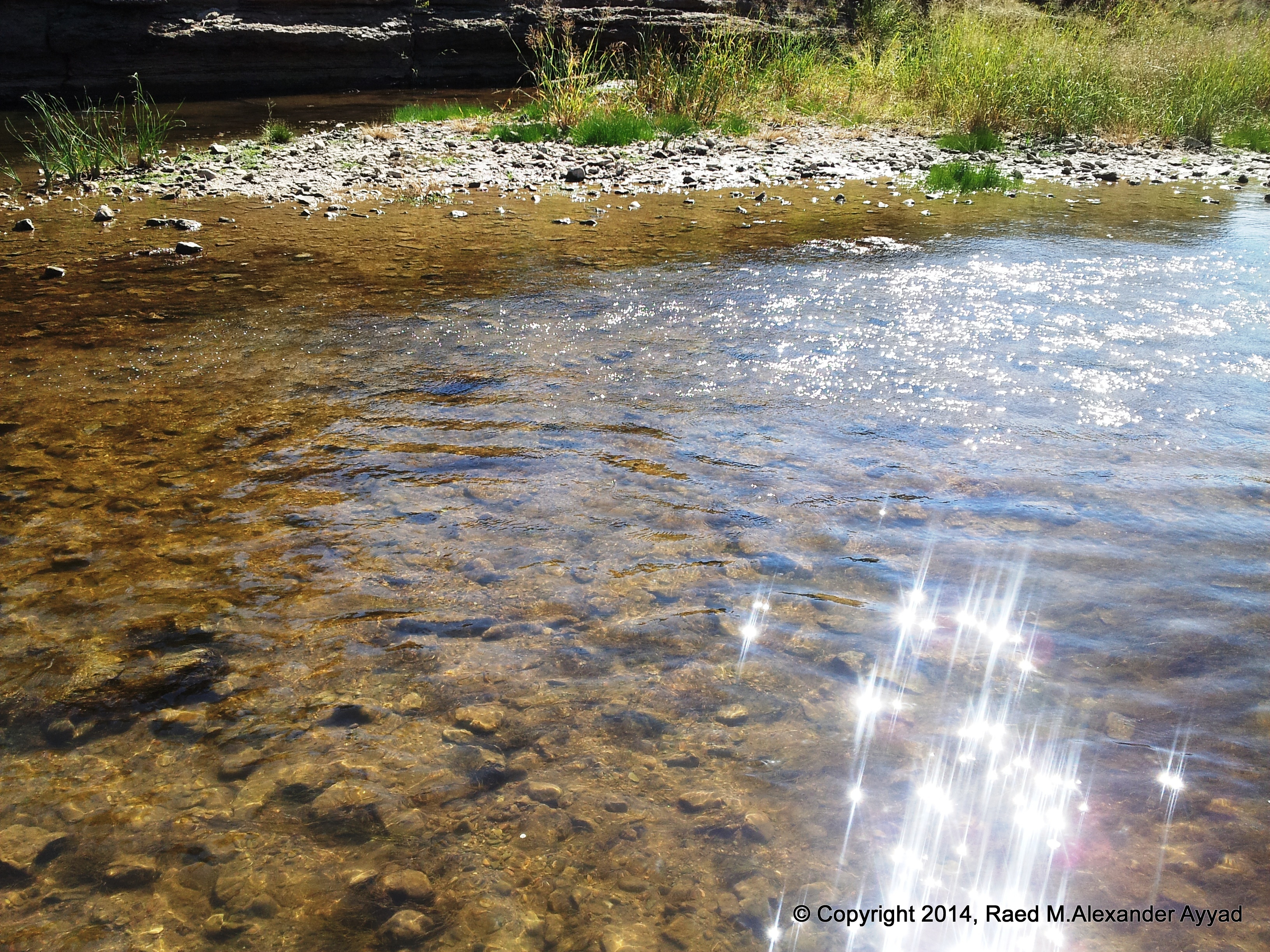
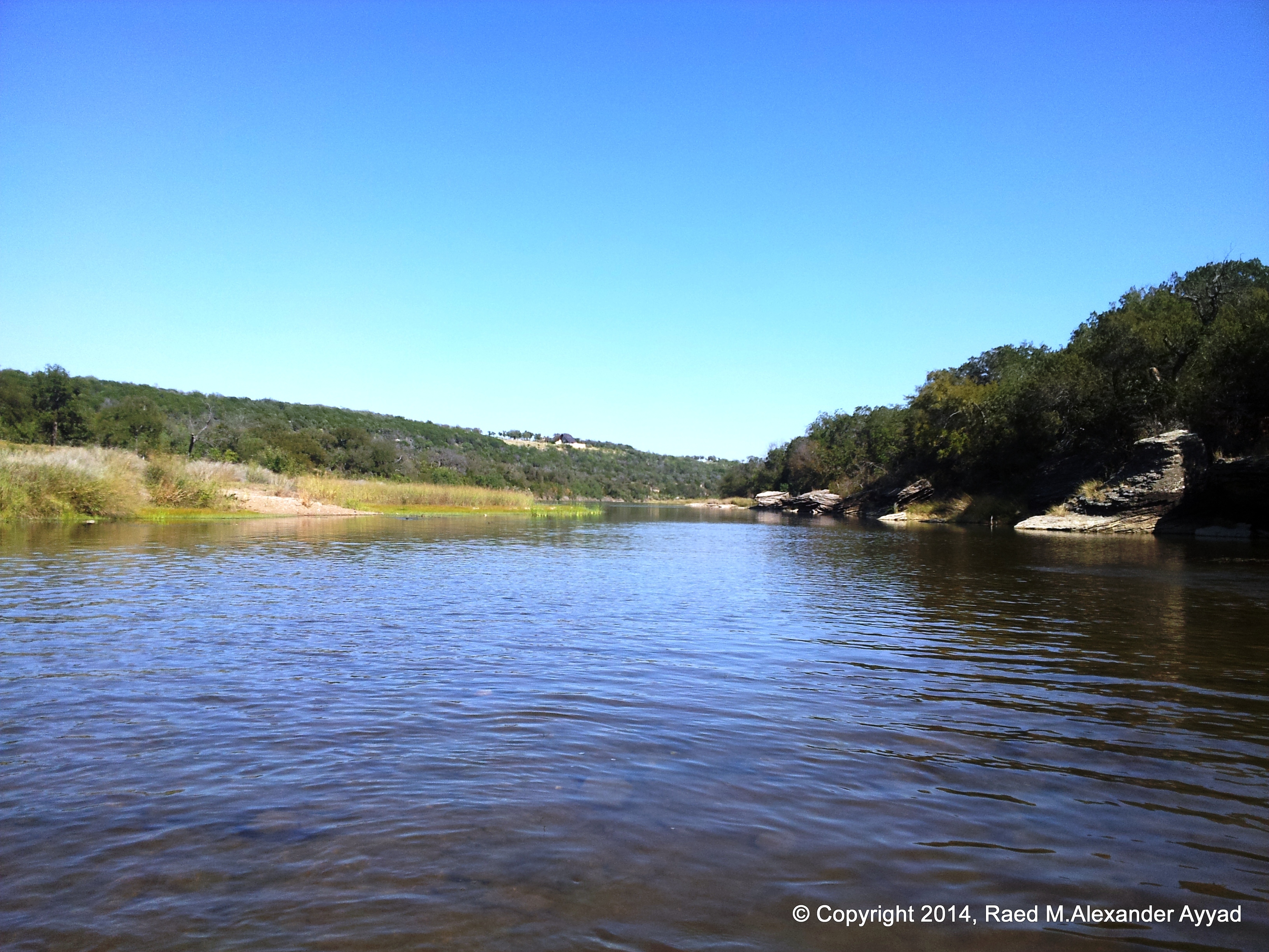
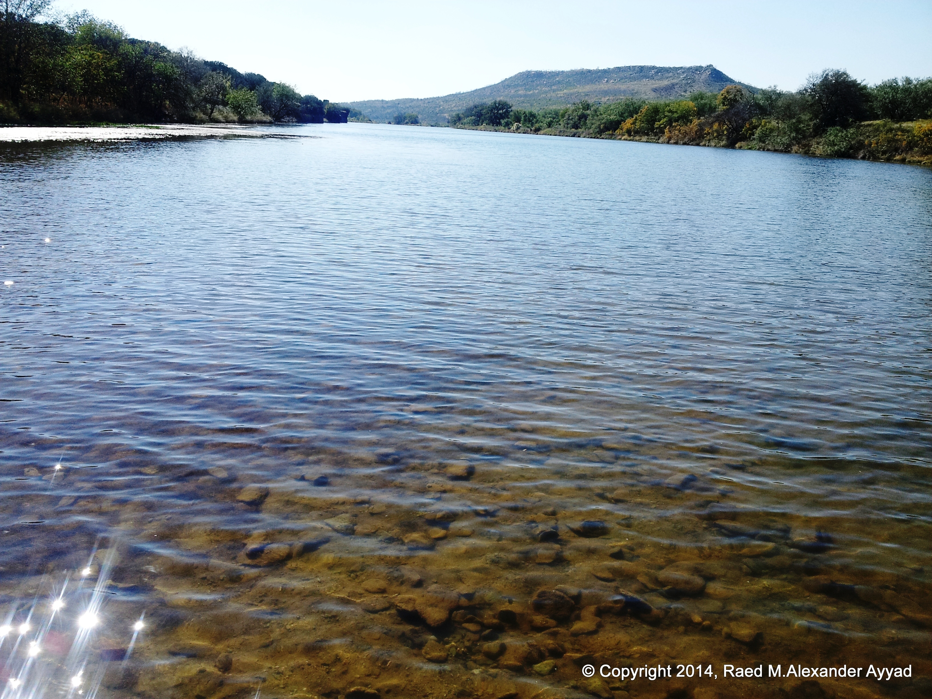
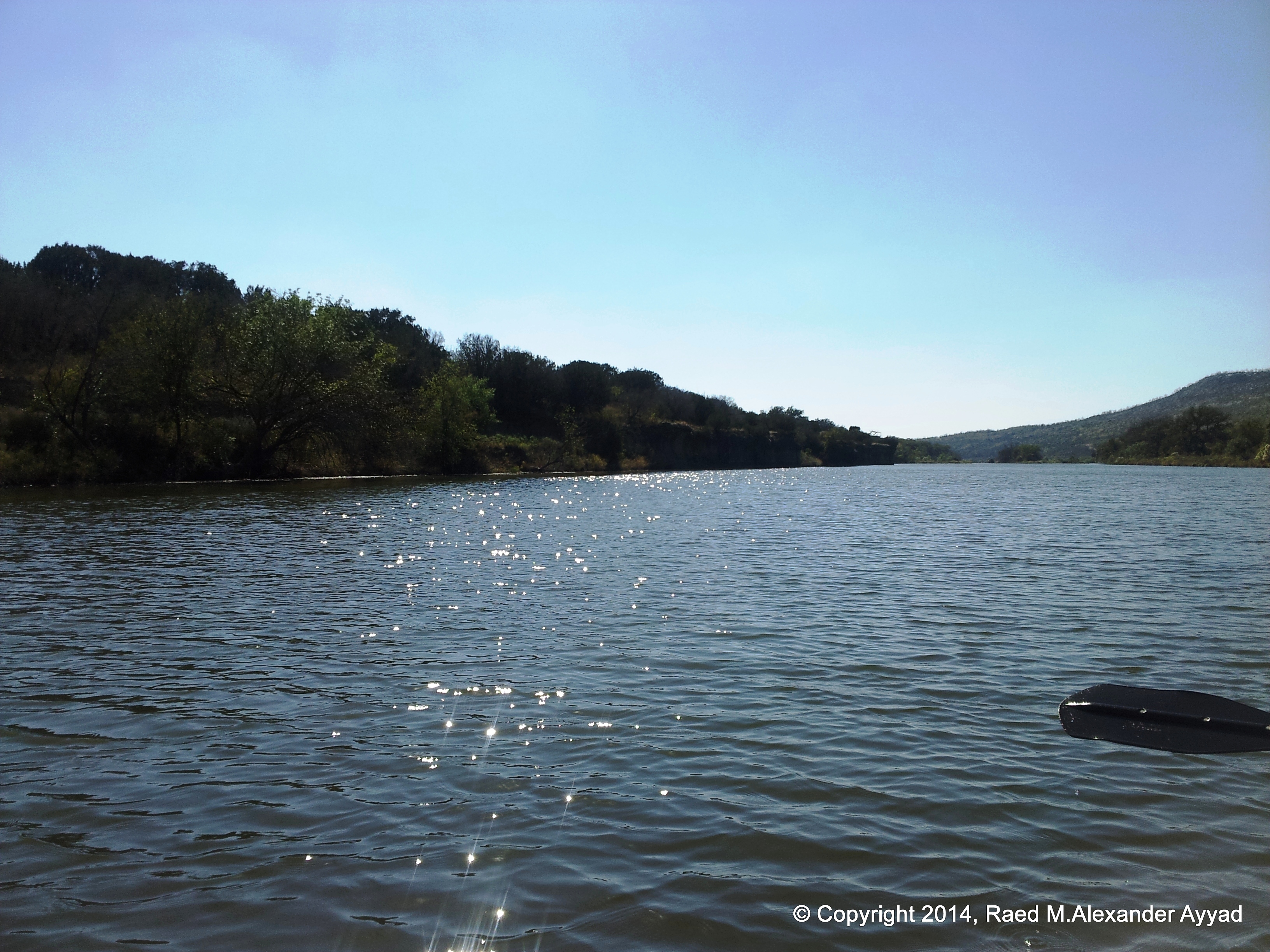
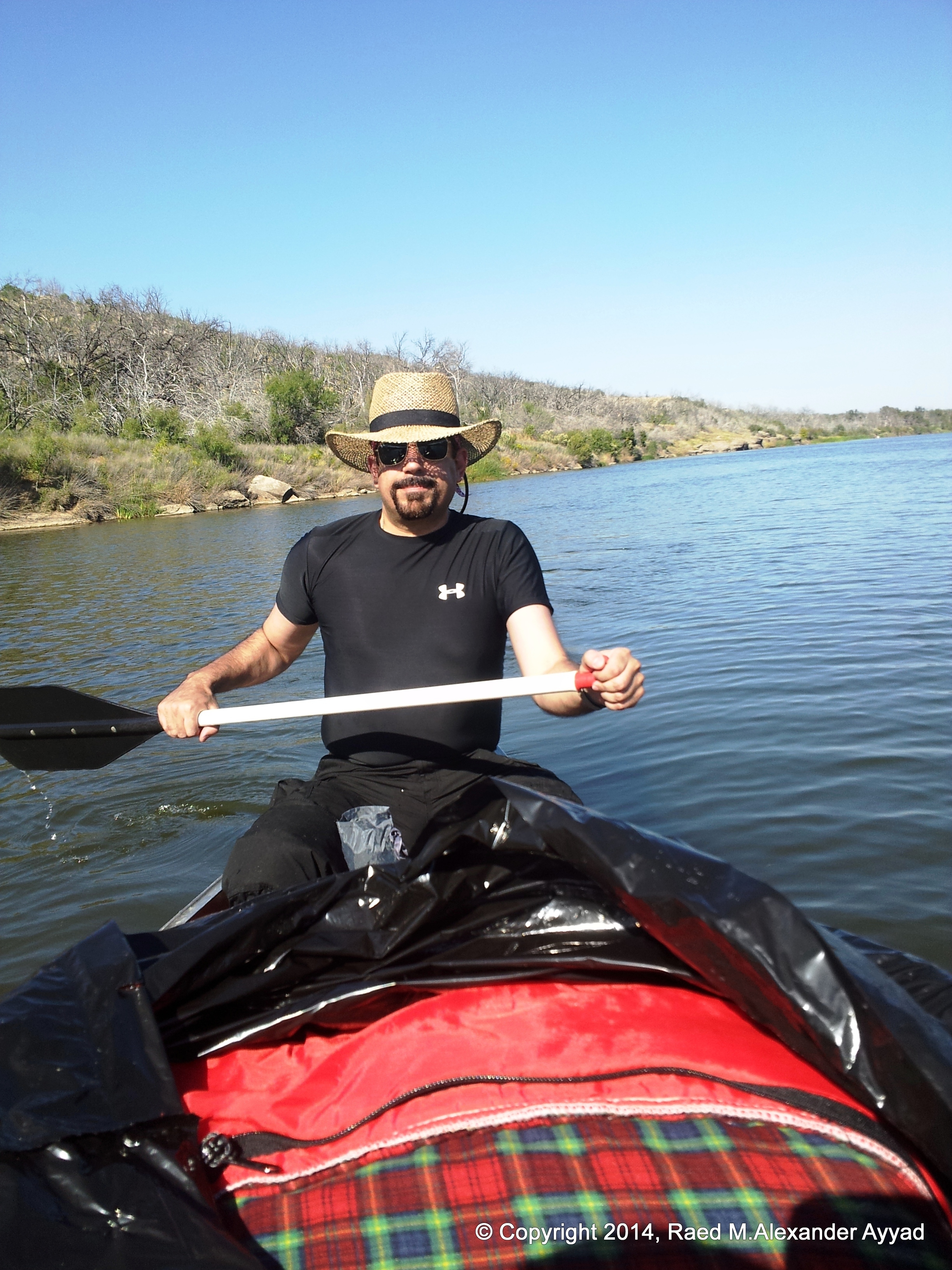
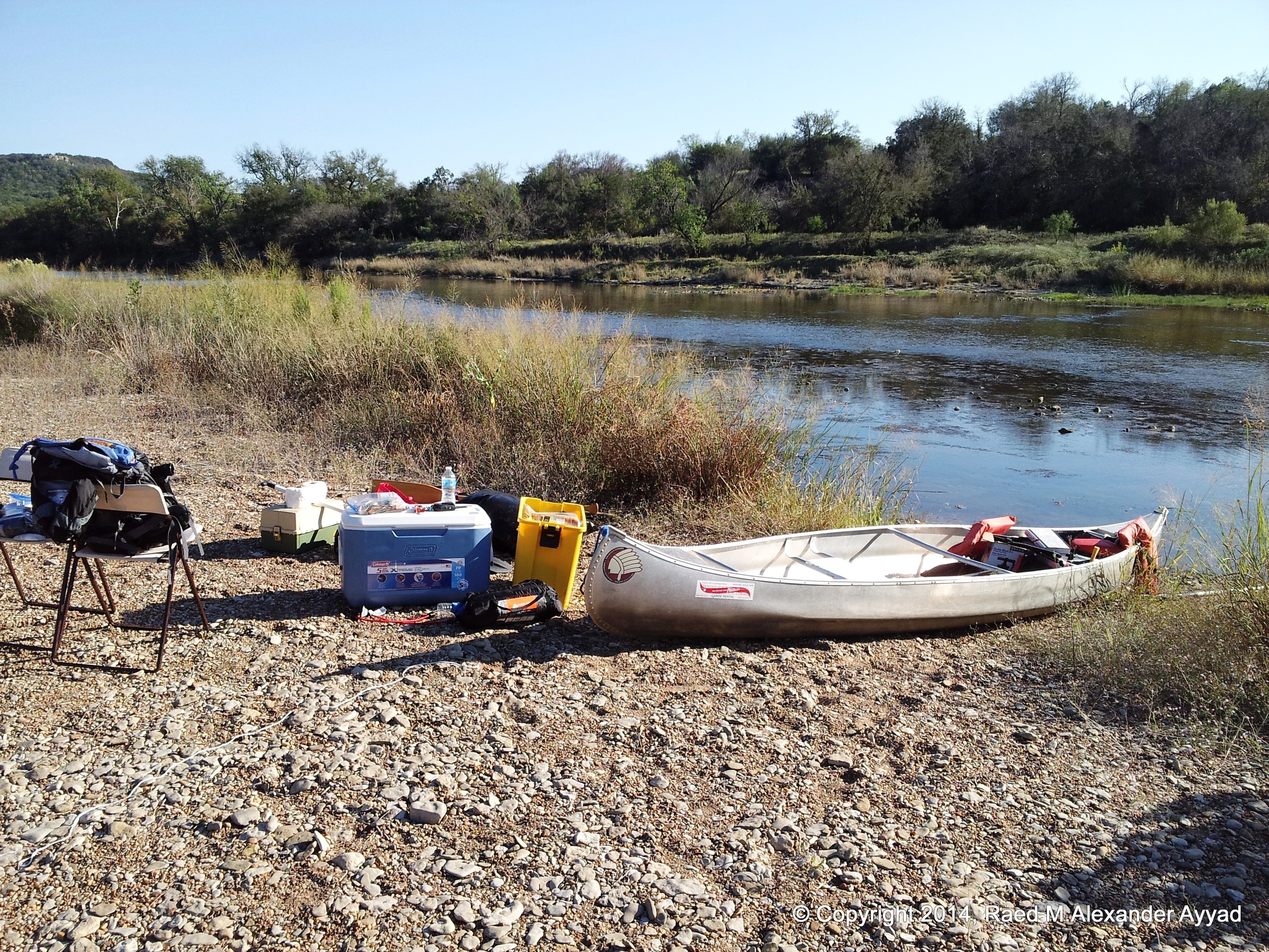
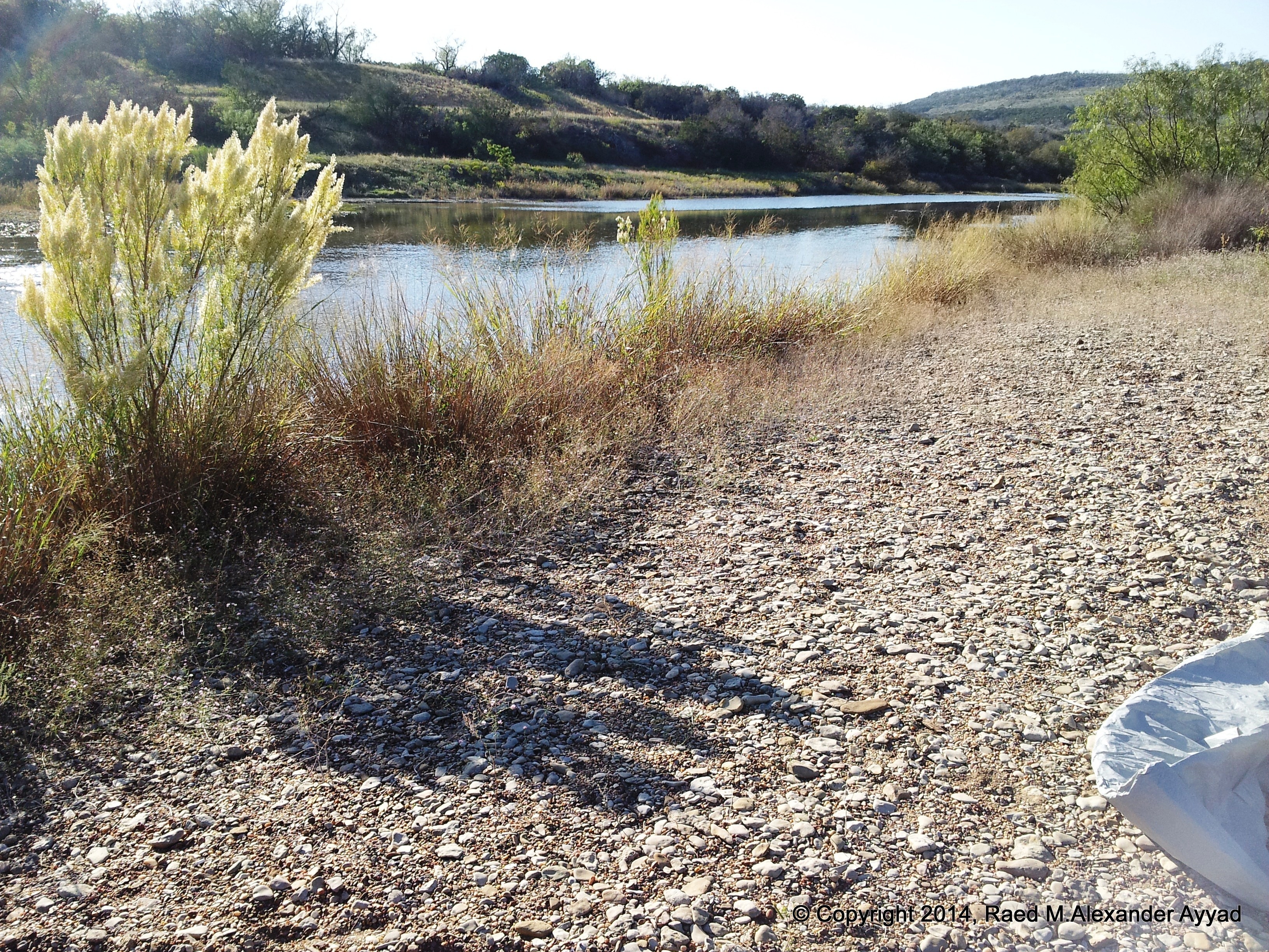
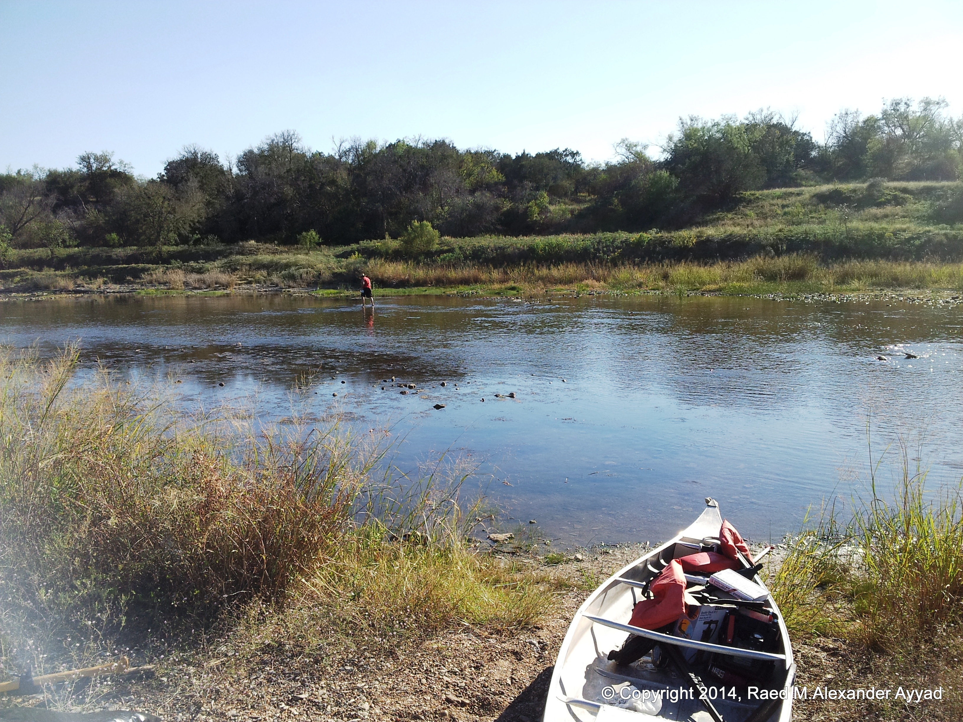
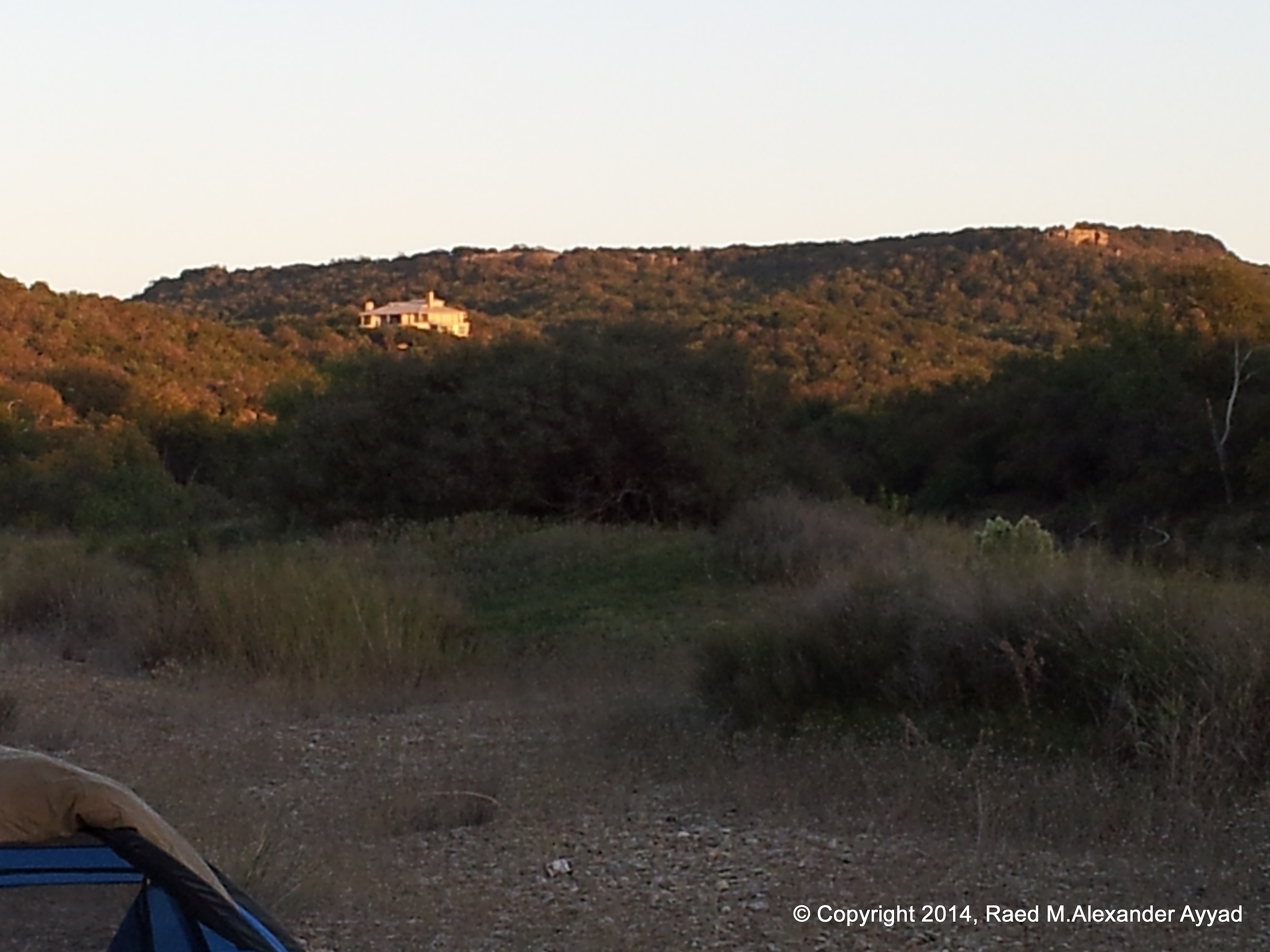
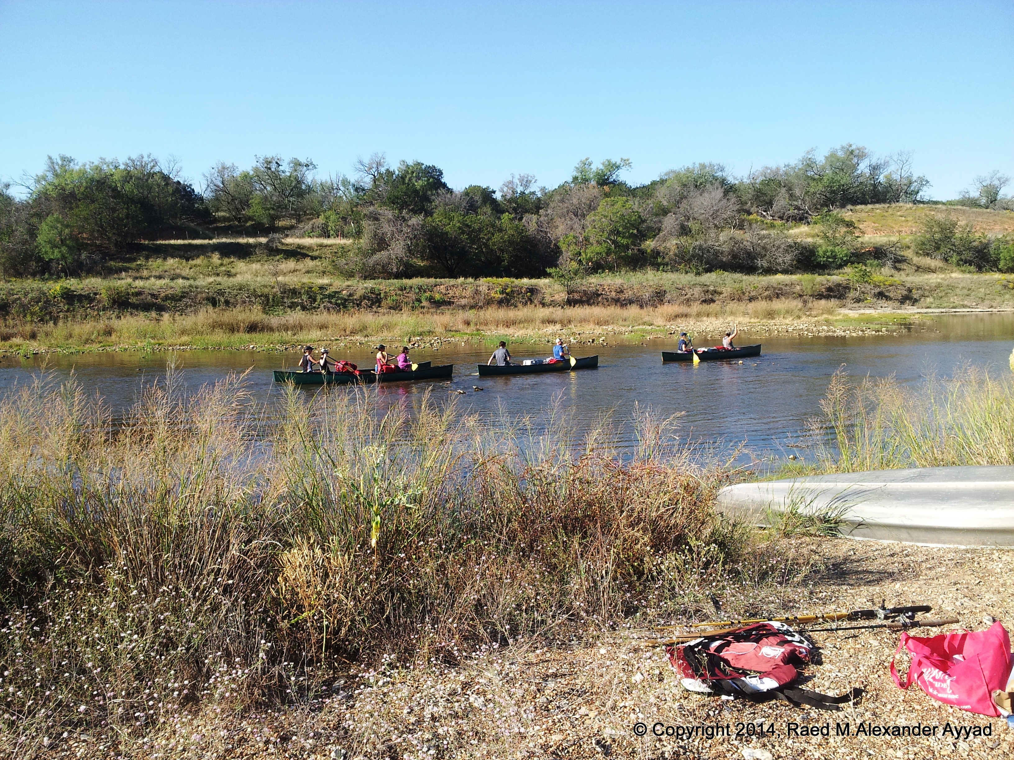
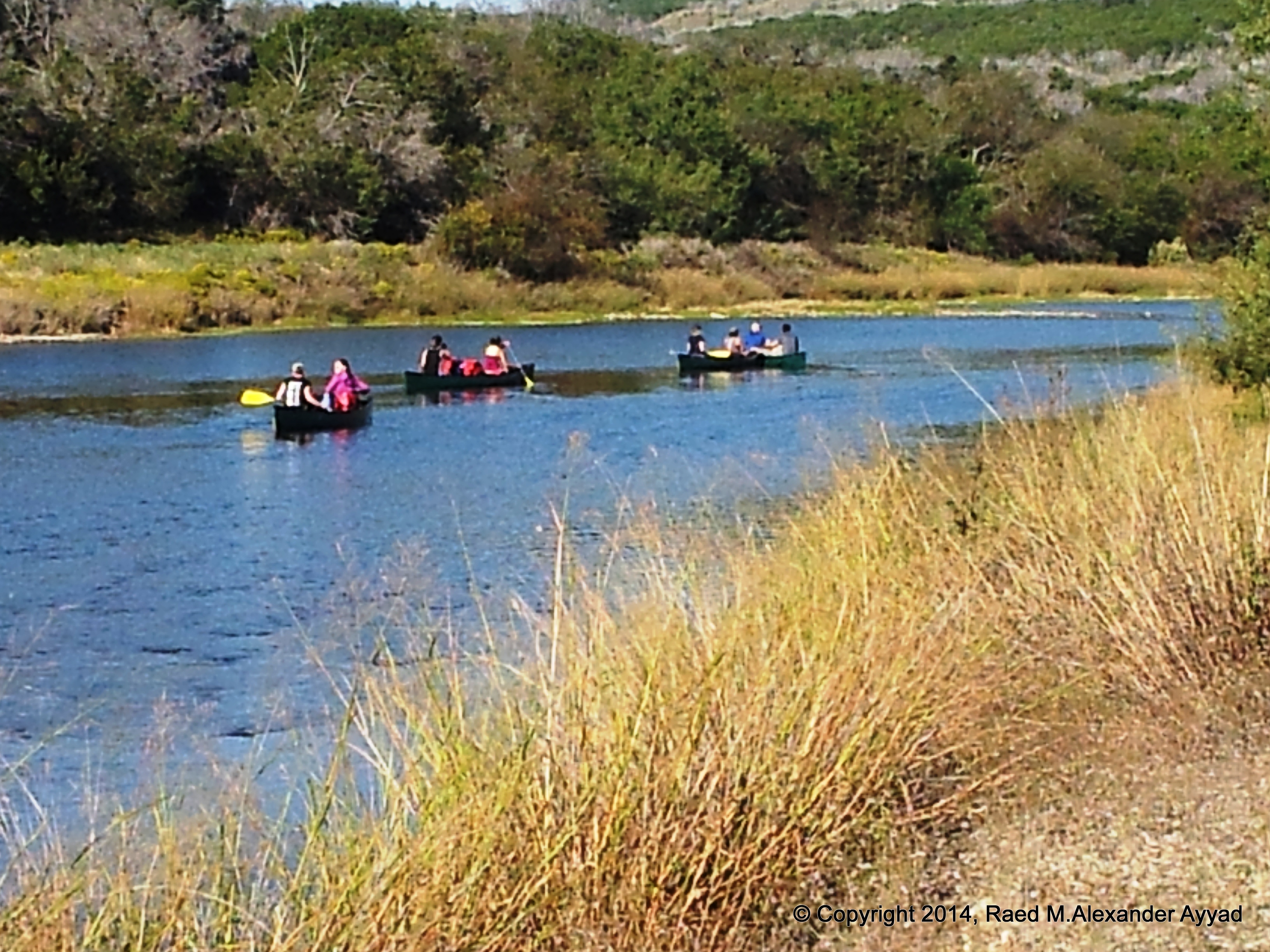
What
a canoeing and camping trek, and what a suntan we gained! [lol]. The
original scope of this adventure had included many more people, with
children, but by the time all was confirmed, the purpose of this trip became for myself and my
friend, Mike "Scallywag" Roberts, to lead the way and explore the upper Brazos basin around
Graford, by canoe, over a span of three days, and then plan for a follow-up trip with
more people to journey this stretch of 20-miles again!
A flop on my behalf was that I forgot my primary
camera gear at home, but my saving grace came in the form of two things, I
had my backup Digital Canon Vixia Video Camera, with a charged battery no-less, in
my High Sierra rucksack -which I keep ready and packed for
spare-of-the-moment action, and I was able to use my SGS phone
camera for stills (which worked out since there is no cellular reception
throughout most of the river basin we explored). The problem with the Samsung
Galaxy phone camera that I used is that when it came to zooming into scenes, the
digital zoom was not worth a cent, and the quality of the photos suffered.
Lastly, I did have my brand new "Digipower Universal Battery Charger," which
when the time came to charge my camera's battery, it did not not charge it
at all (retested later at home for a whole day, and the results were the
same).
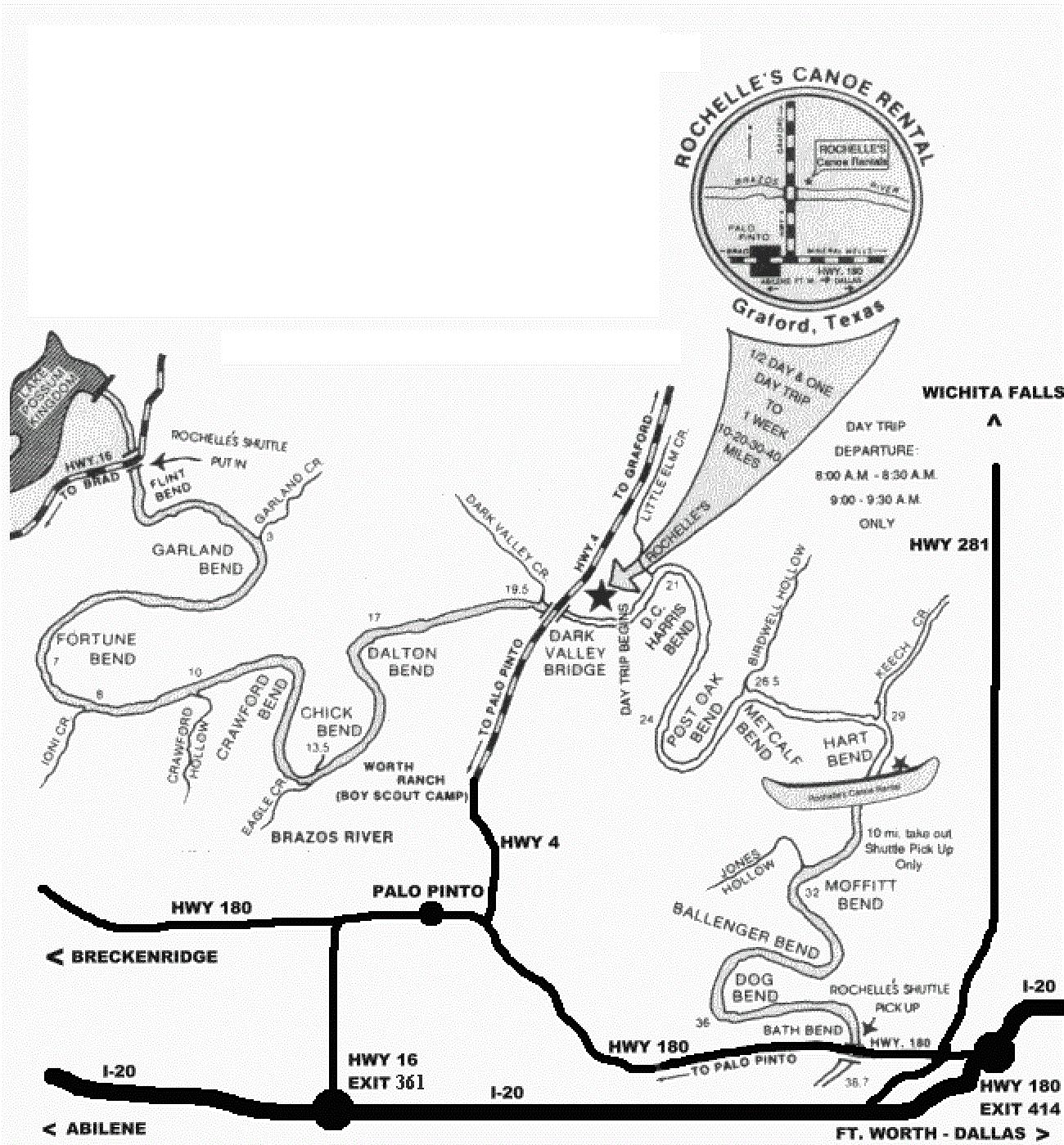
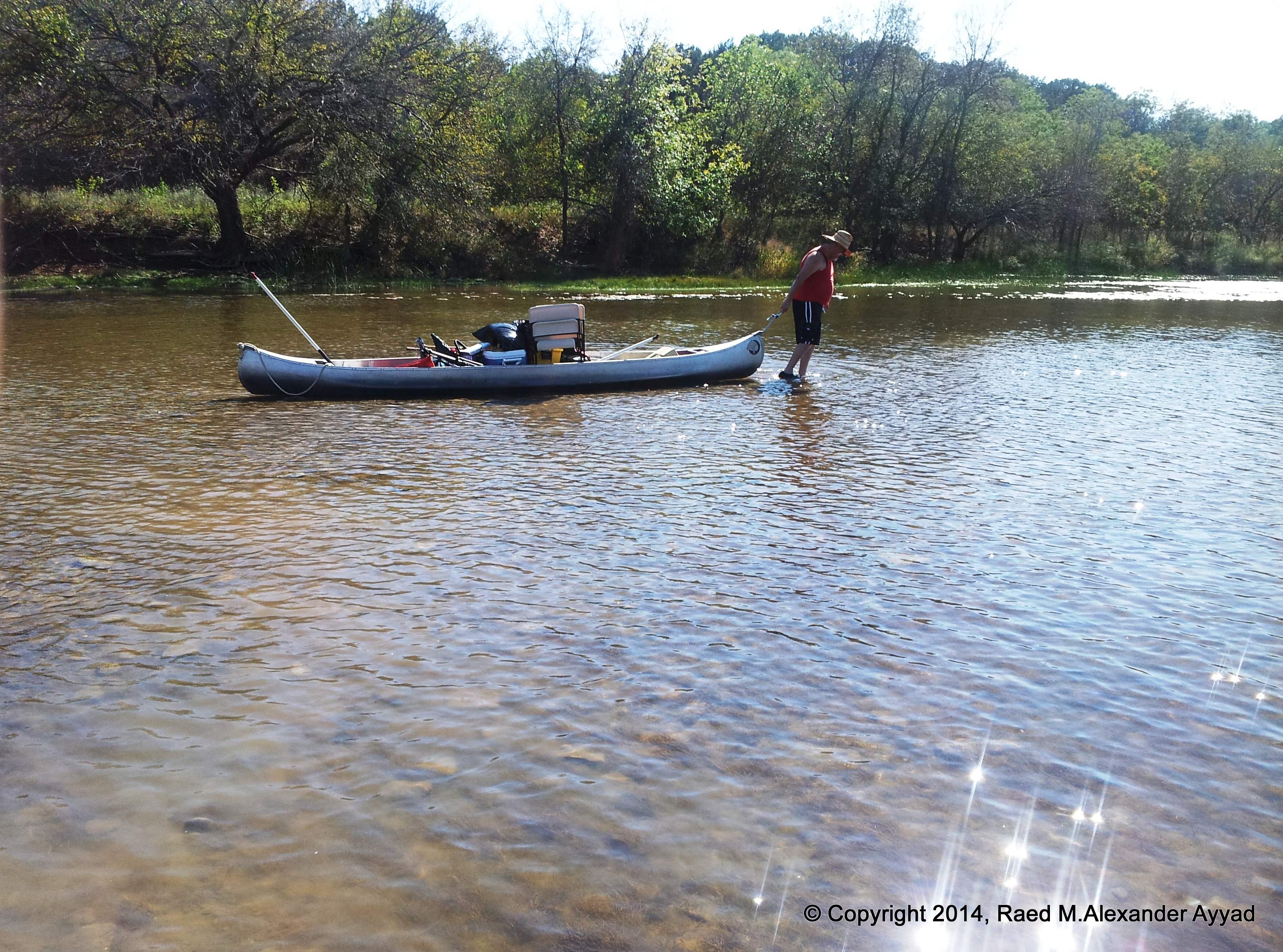
Anyway... moving on... I did not want to use my kayak for
this trip, so, we rented our canoe from Rochelle's Canoe
Rentals, which is adjacent to the Dark Valley Bridge in Graford (we were advised that they will shuttle your vehicle and equipment for a
nominal charge -we secured our own transportation.
Further more, Mrs. Rochelle shared that if other members of The Texas
Pilots Association would like to use their services, they are willing to work out some deals with you
depending on the size of your party, so,
let us know -by email- if you would like to do business with them, and we will provide you with the
necessary info.)
Camping at
Possum Kingdom State Park, or PK as it is popularly known, has its own rewards, and I will share more about that location in the near future. The
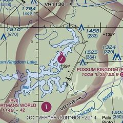
airport, F35, which I have alluded to herein is located within the perimeter of the PK
state park.
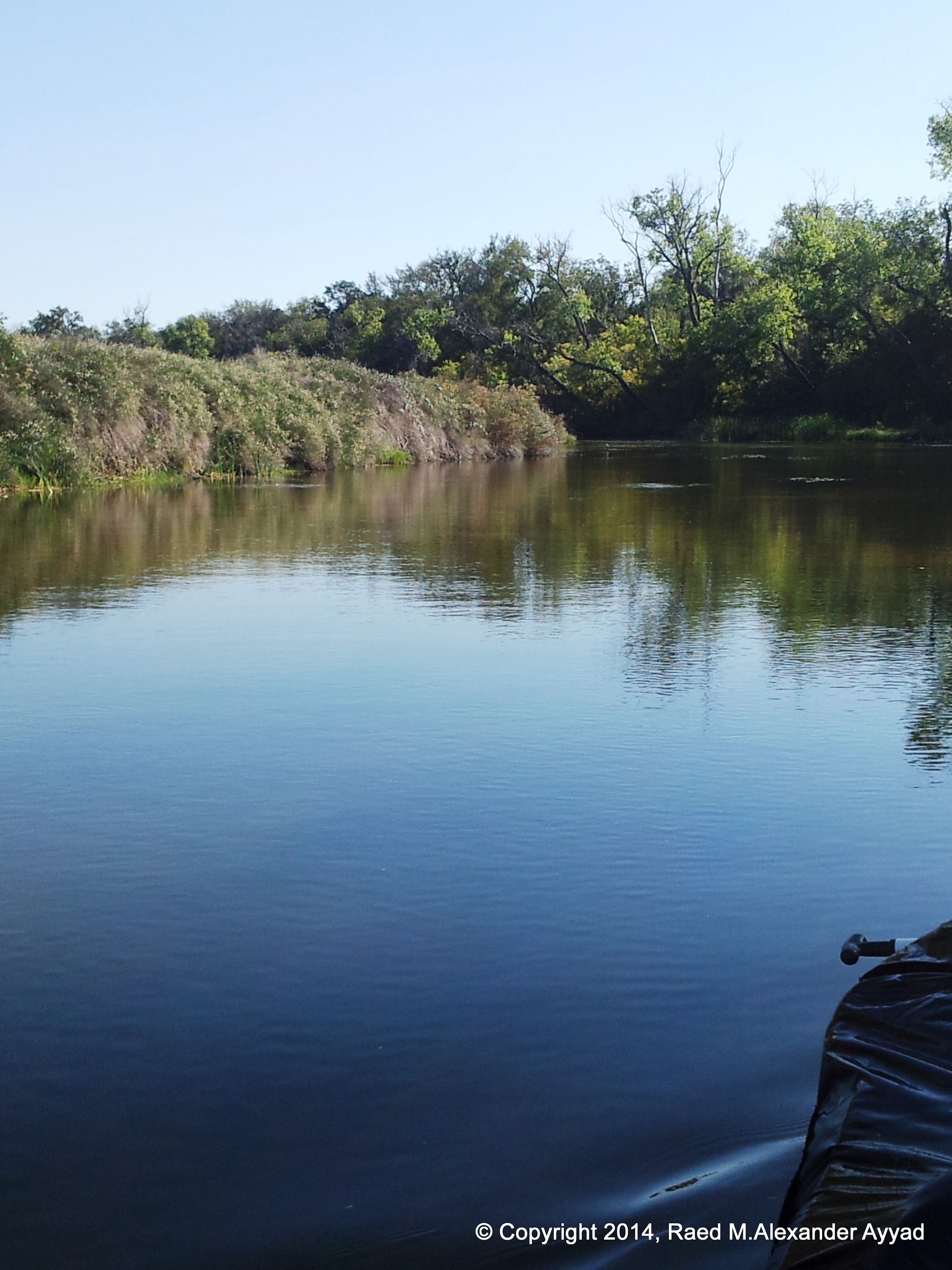
A BIT ABOUT
THE RIVER...
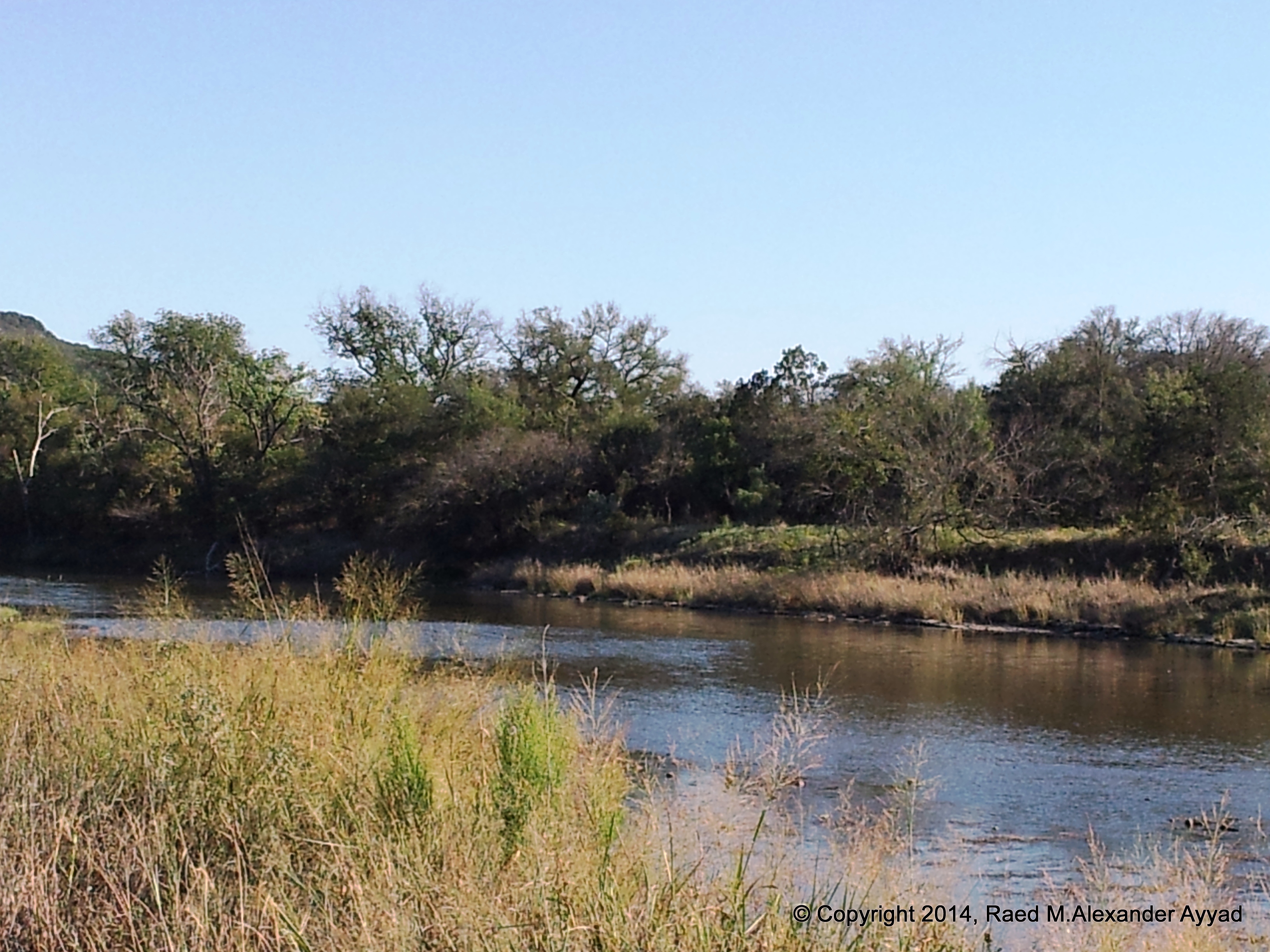
A bit about
this section of the river... many believe that the first portion of this trip,
the 19.5-miles from the Highway 16 crossing to the Dark Valley Bridge
(Highway 4) is the most scenic, rustic and exciting trip the upper Brazos
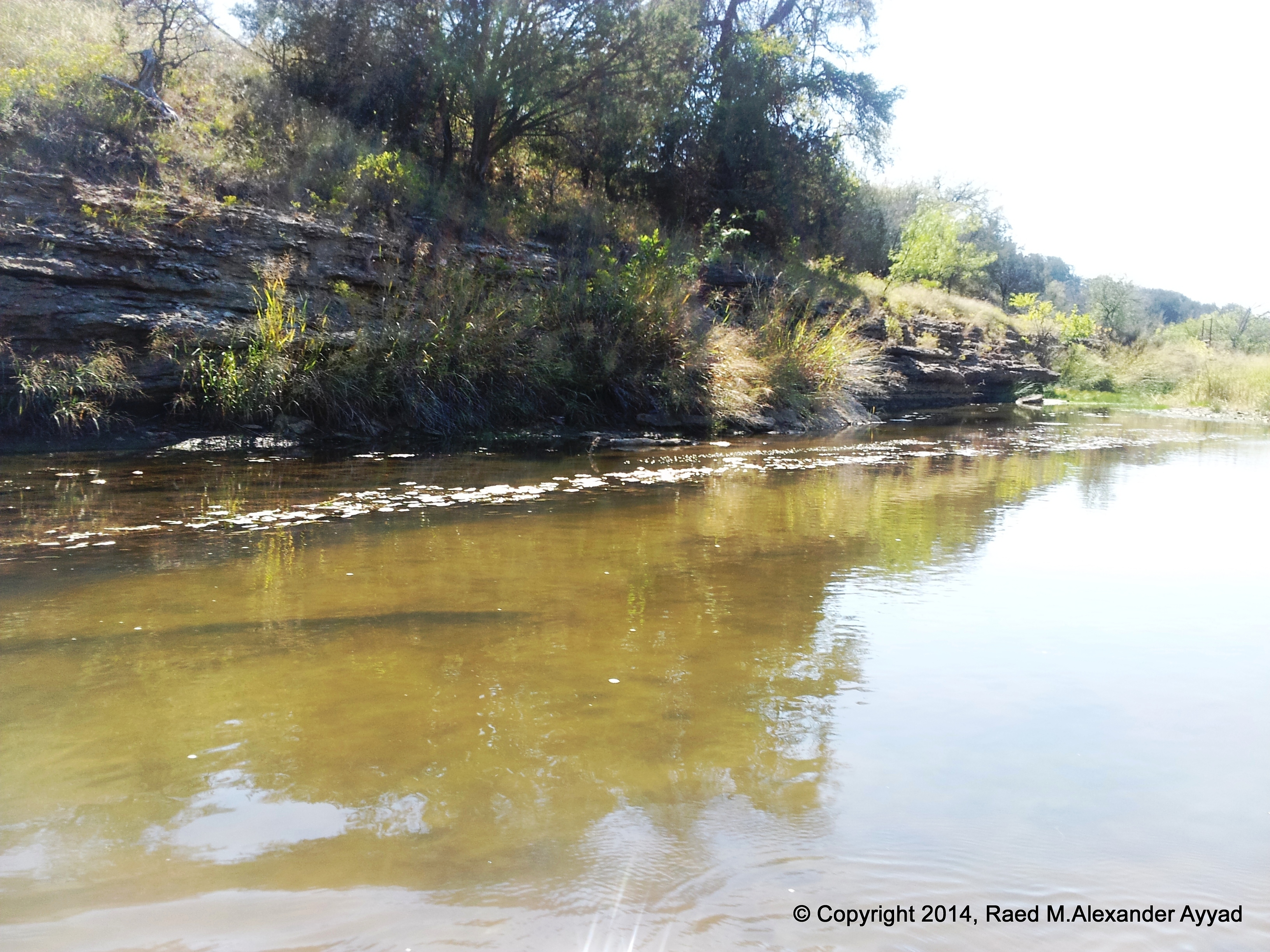
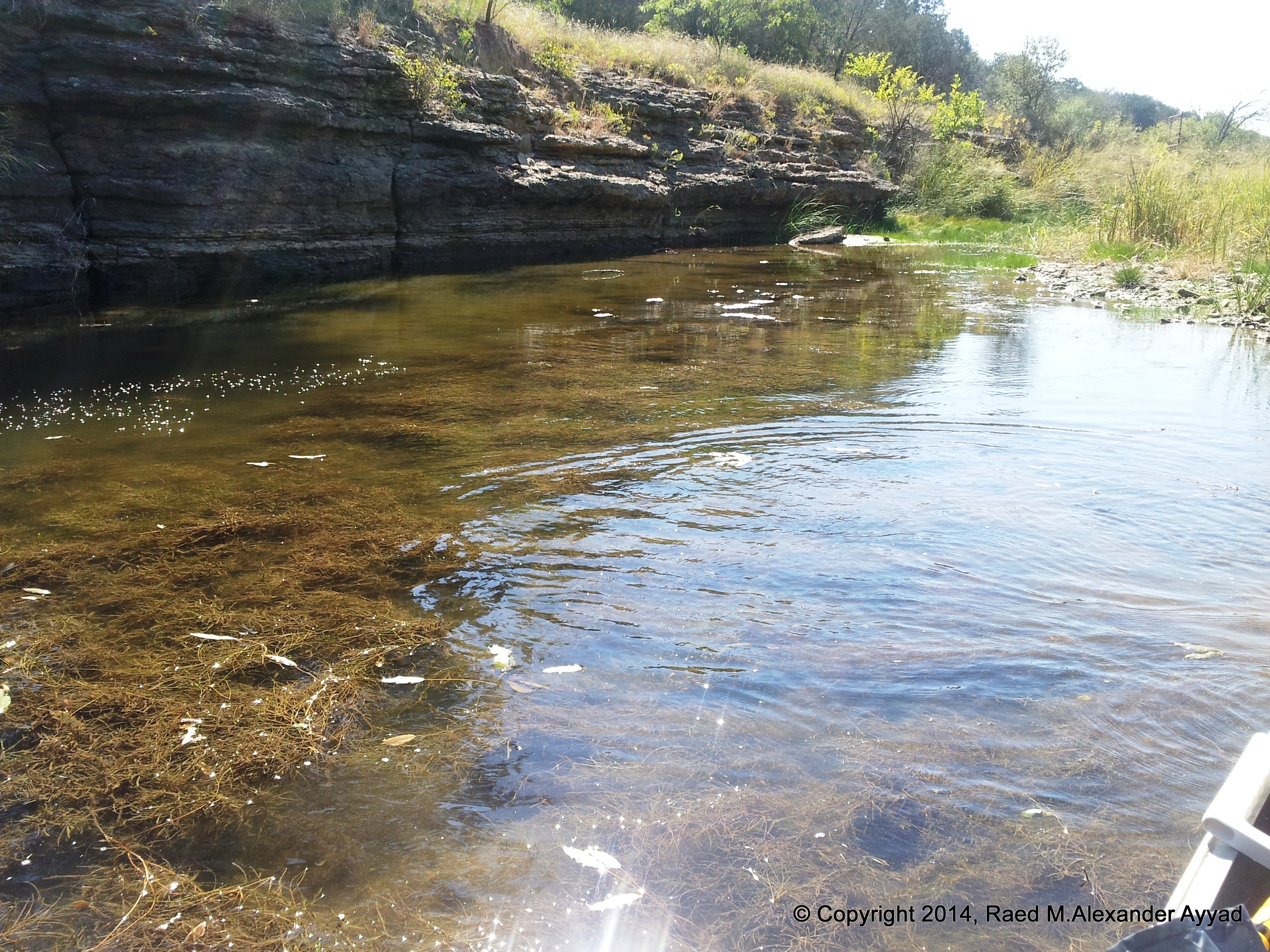
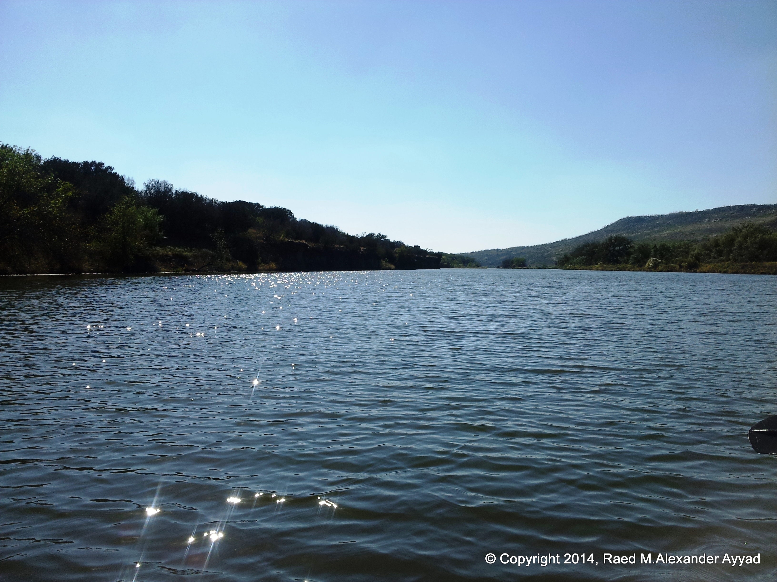
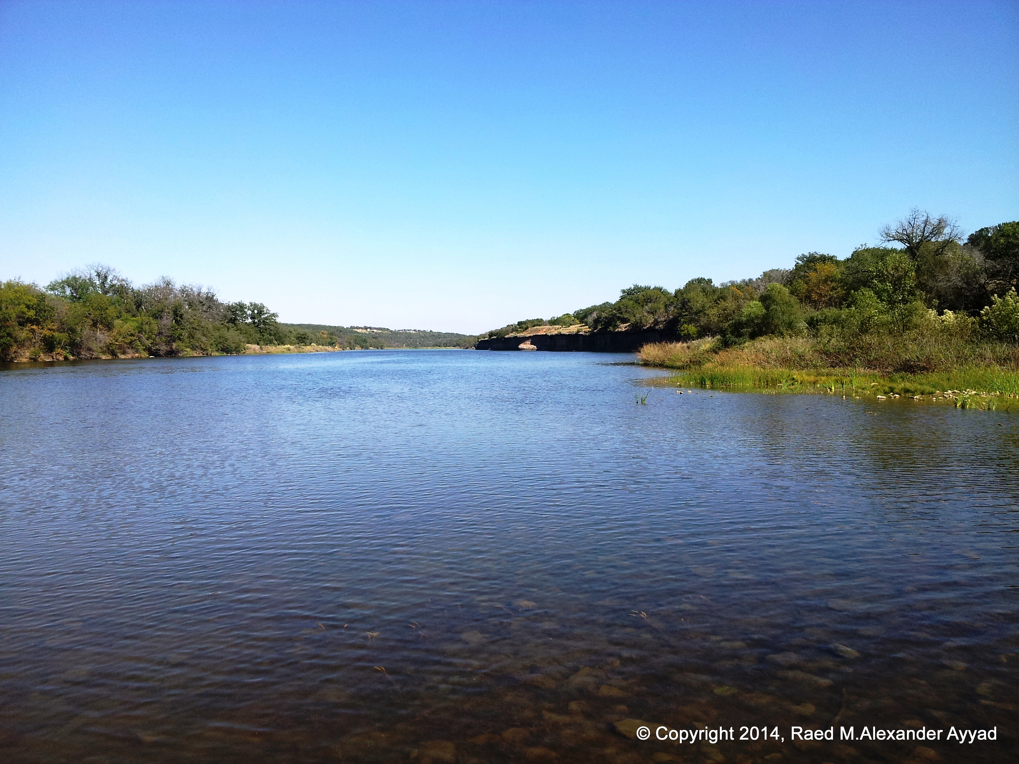
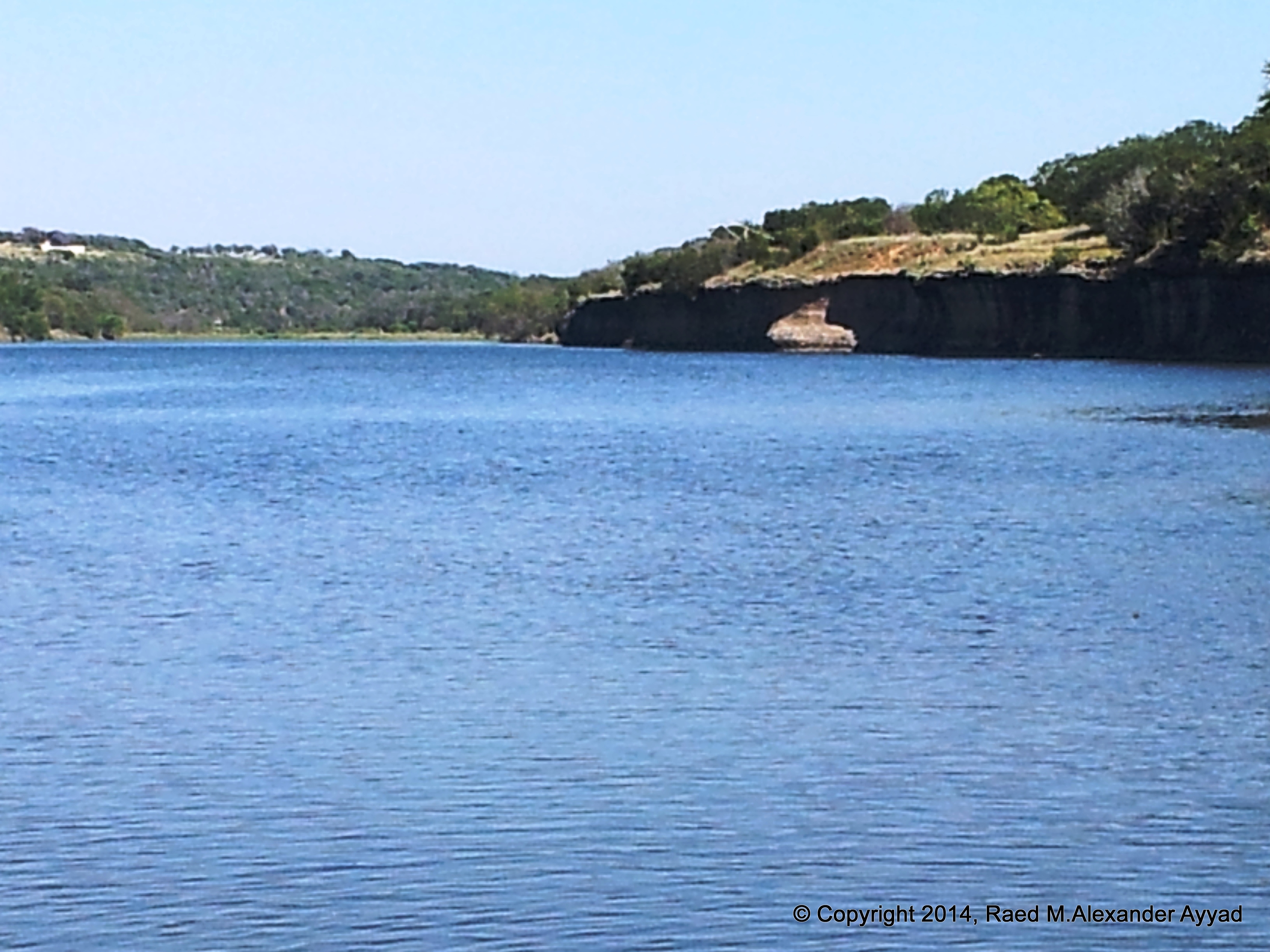
has to offer... we'll let you be the judge of that!
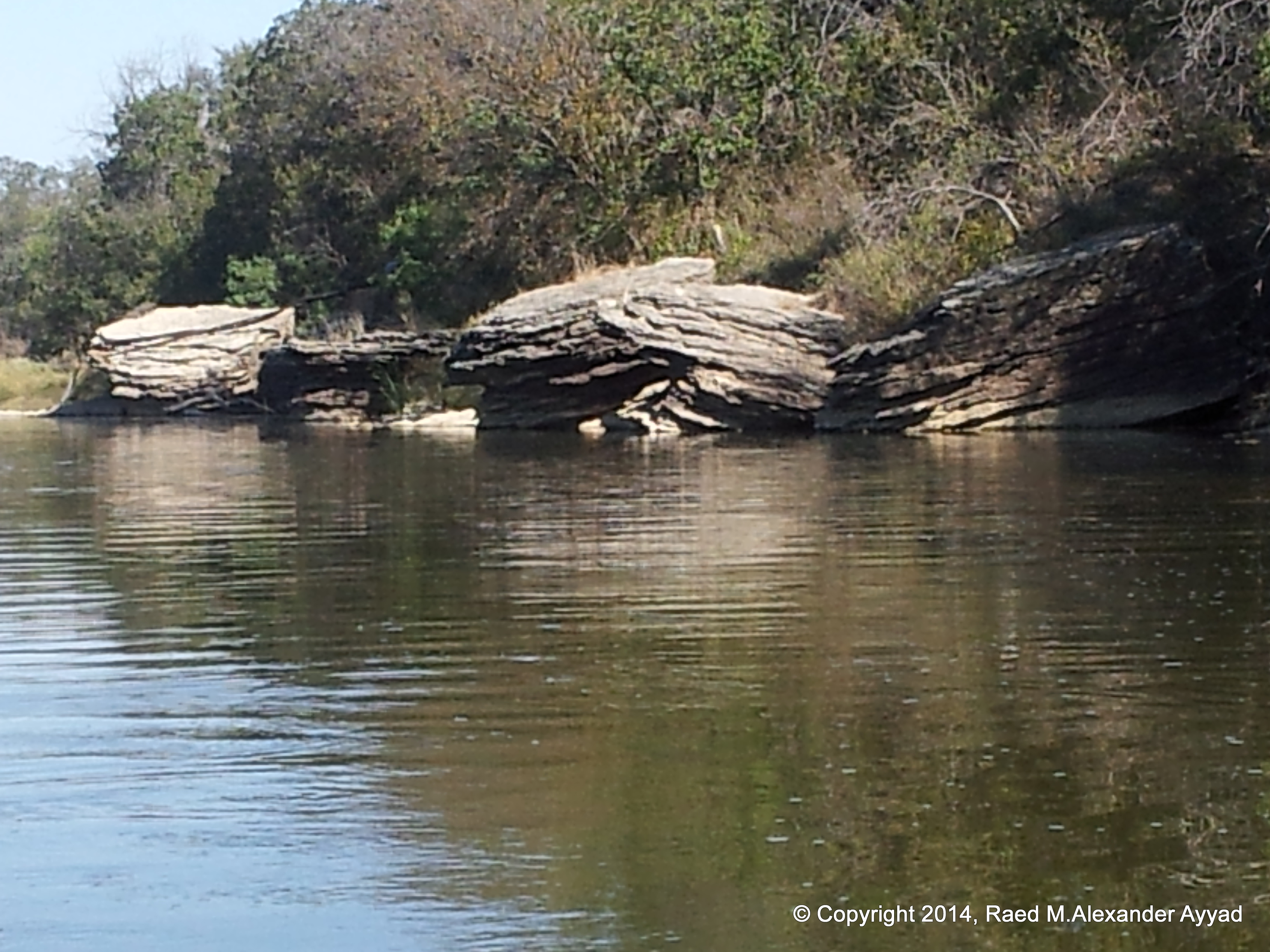
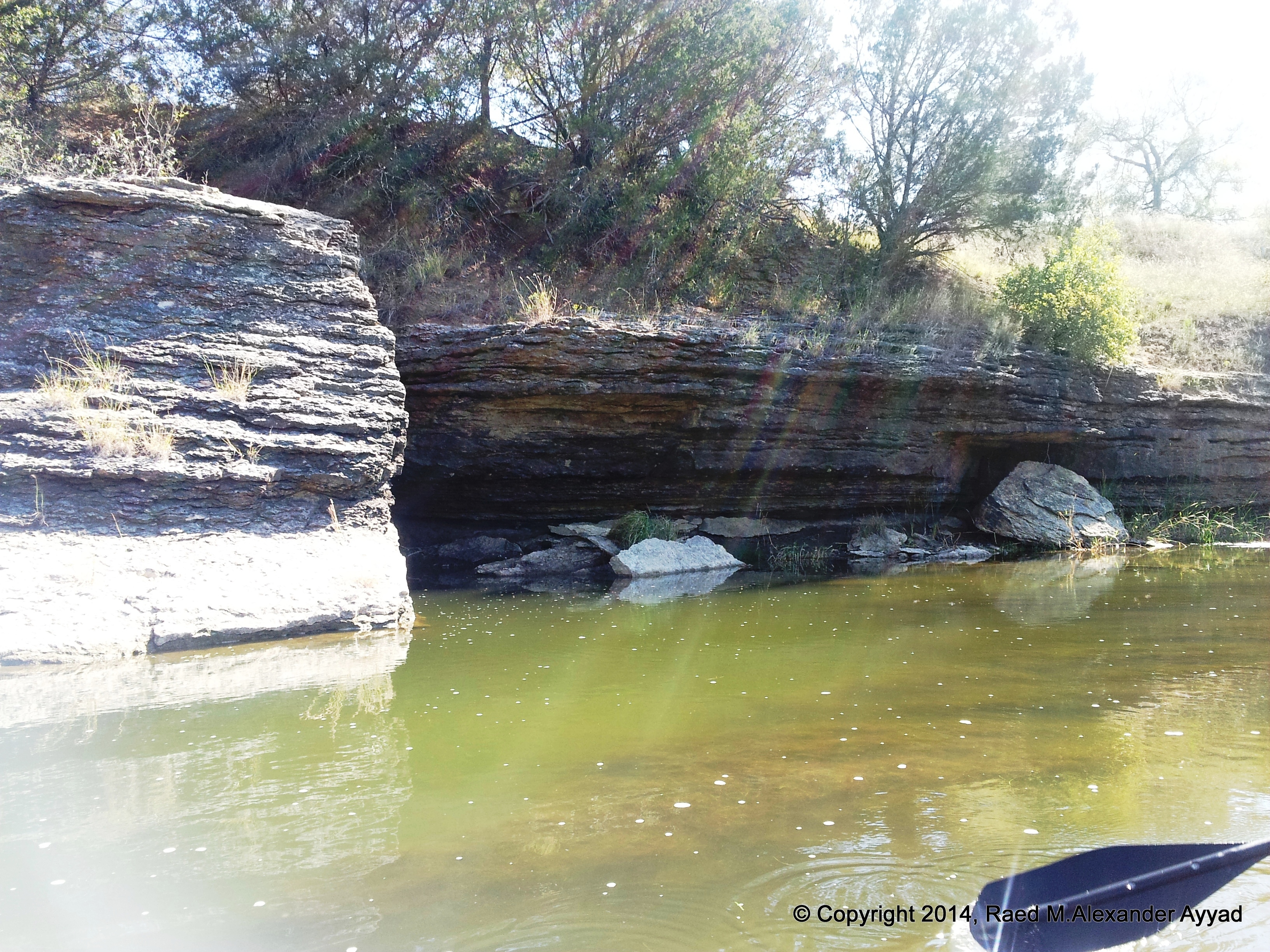
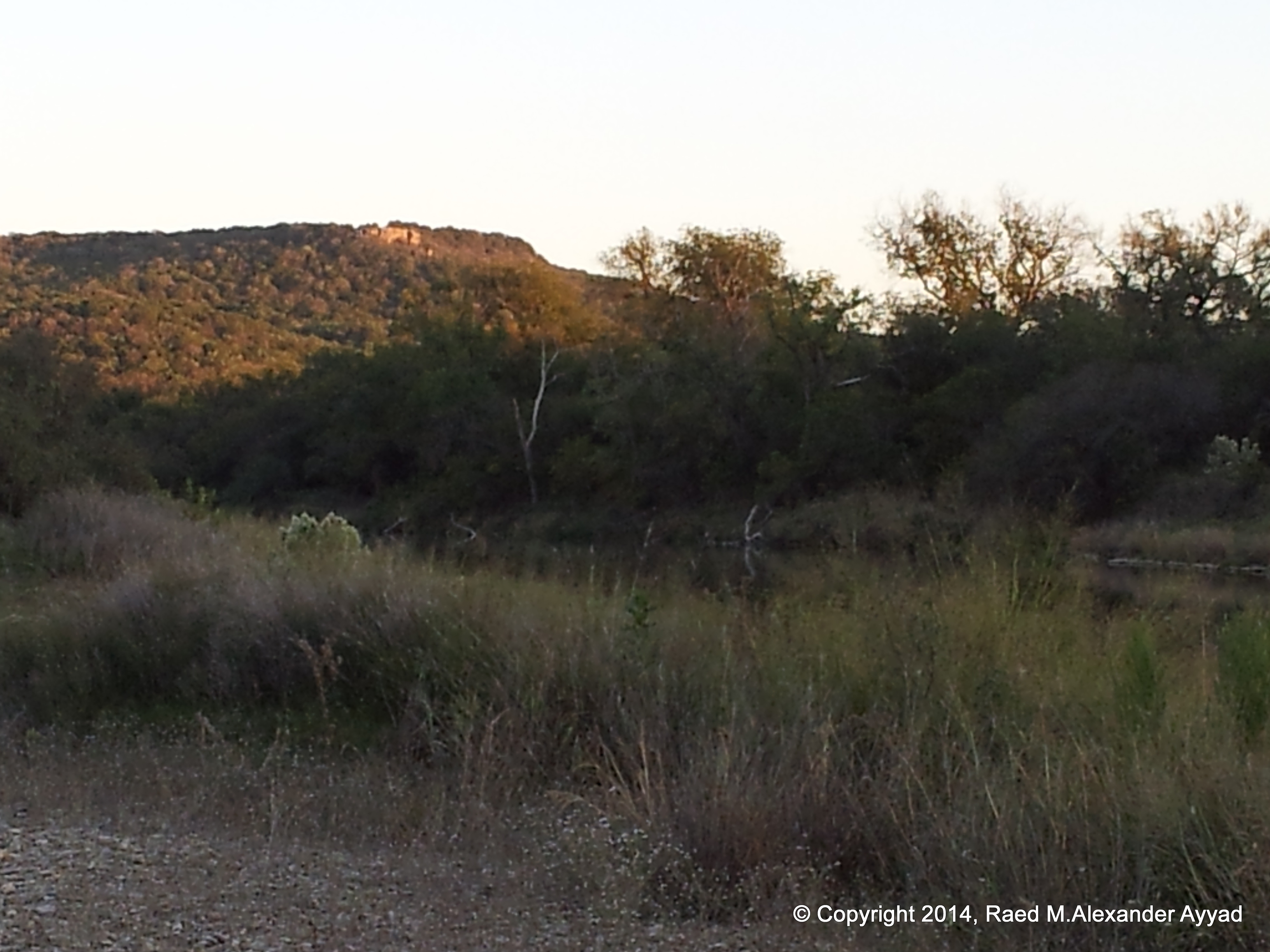
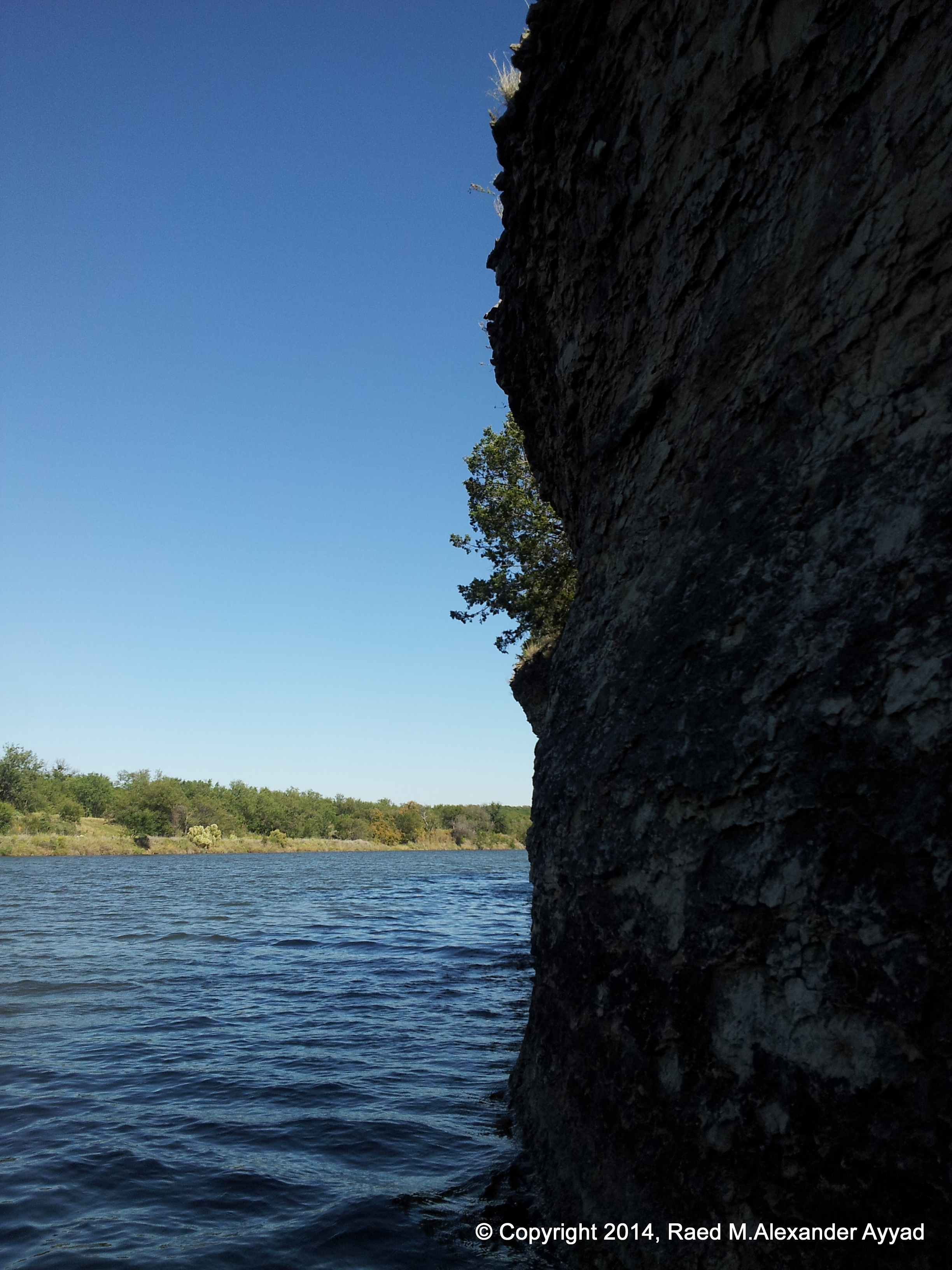
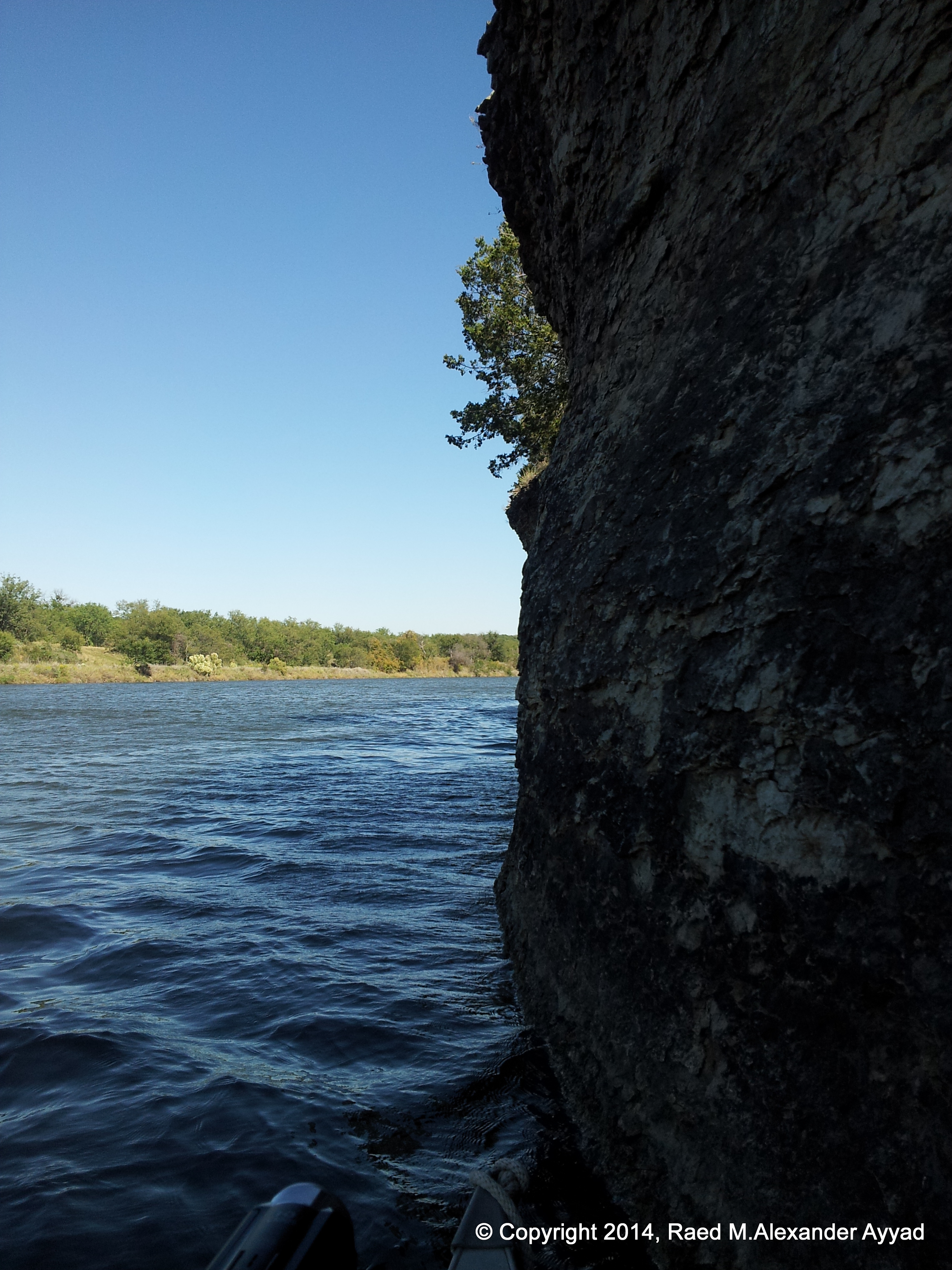
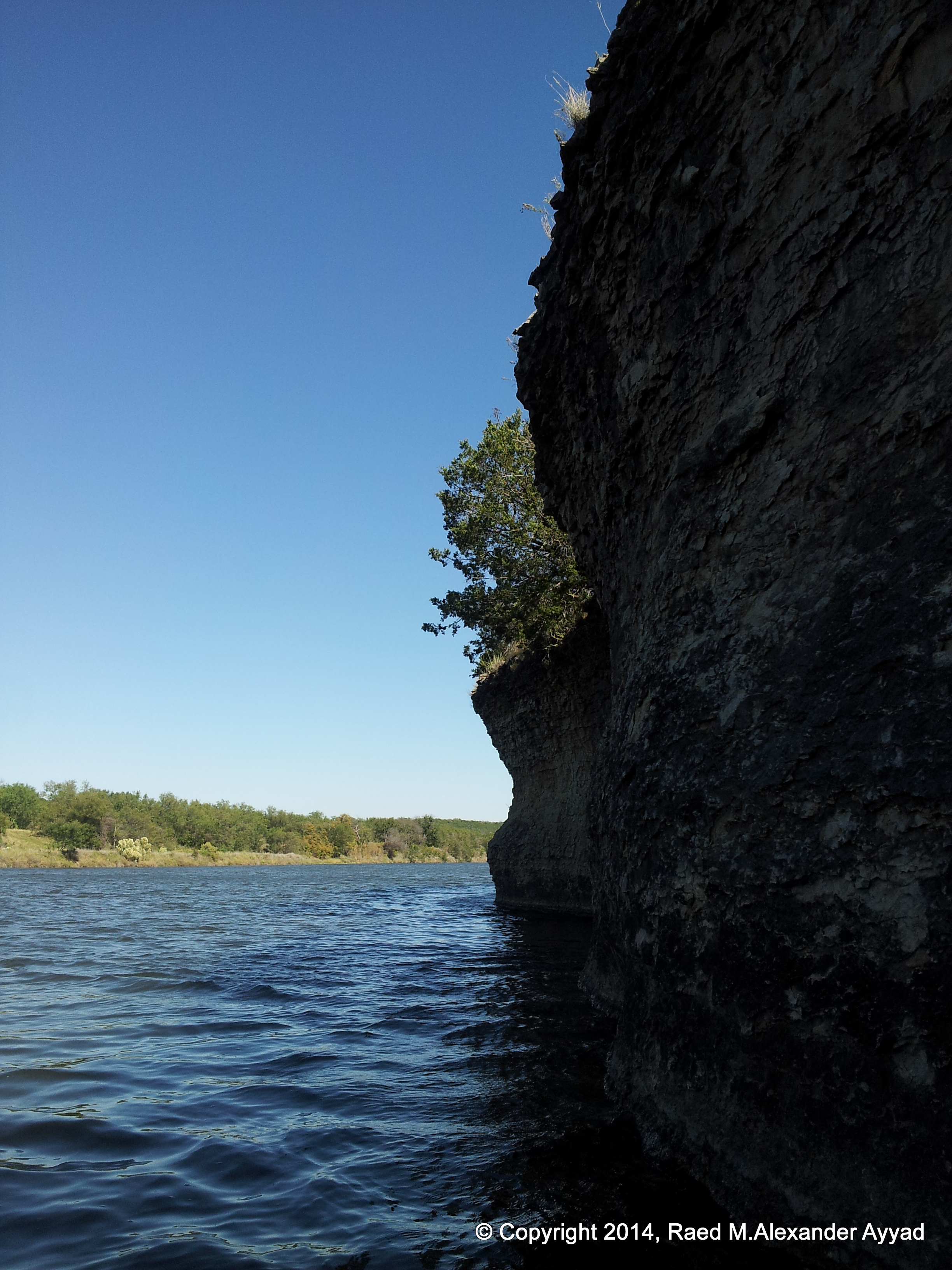
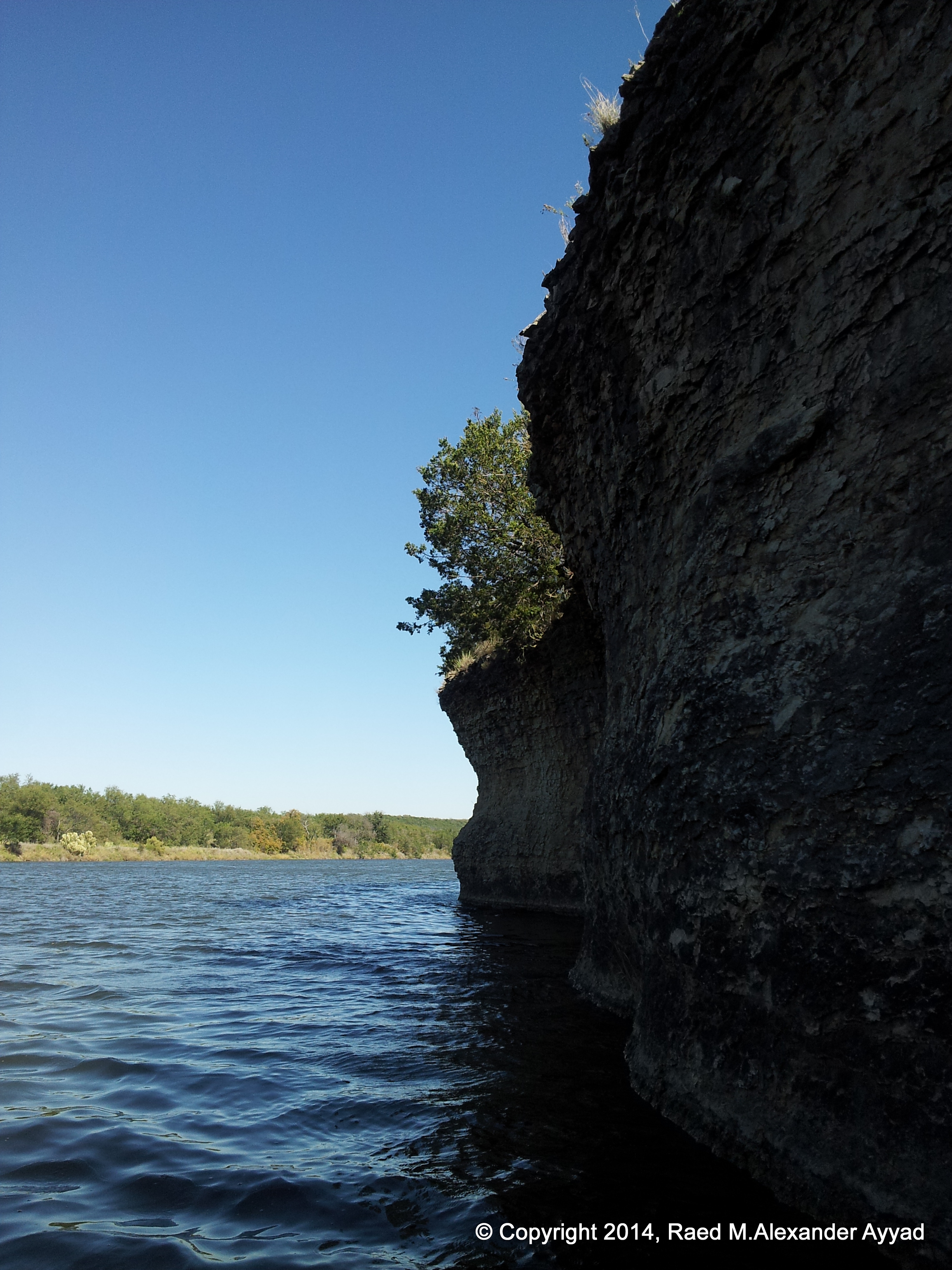
The craggy
cliffs and boulders echo the historic past of the Brazos. The Brazos is
probably the river that Indians of the Caddoan linguistic group called
Tokonohono. This name is preserved in the narratives of the expedition led
by Ren?Robert Cavelier, Sieur de La Salle, and the Brazos is widely
identified as the river that La Salle named the Maligne.
The name
Brazos was probably first applied to the Colorado River, and there is
considerable evidence that several early explorers got the Colorado and the
Brazos rivers confused. In 1716 Isidro F?ix de Espinosa and Domingo
Ram?qqv probably called the Brazos "la Trinidad," but the present names
were established well before the end of the Spanish period. The full name of
the river, often used in Spanish accounts, is Los Brazos de Dios, "the arms
of God." Many legends have grown up explaining the name. Probably the
earliest is that Francisco V?quez de Coronado and his men wandering up the
Llano Estacado were about to perish from lack of water when the Indians
guided them to a small stream, which the men then named Brazos de Dios.
Another
account tells of a Spanish ship tossed about by a storm in the Gulf of
Mexico that had exhausted its supply of drinking water. The sailors were
parched with thirst, lost, and unable to determine which direction they
should go to find land, when one of the crew noticed a muddy streak in the
waters. The ship followed the streak's current to the mouth of a wide river
on a great rise. The ship sailed up the river, and the sailors drank fresh
water and were saved. In gratitude they christened the unknown stream Brazos
de Dios.
Another
account fixes the naming of the stream in the 1760s, when an extreme drought
made it impossible for the Spanish miners on the San Saba to work. They had
heard that the drought was even worse toward the south. They headed toward
the Waco Indian village where, according to reports, there was a
never-failing stream. Many of the men and beasts died en route, and the
precious bullion was buried, but the few who finally reached the stream
named it Brazos de Dios. The last story, told to Albert Pike in 1831,
accounts for the reversal of the names of the Colorado and the Brazos.
If
you are interested in the history of the Brazos, a good read maybe a book
titled "Goodbye
to a River" by John Graves.
BACK TO OUR
JOURNEY....
A
recommended put-in point for such a trip is the Highway 16 bridge below
Possum Kingdom Lake. Although there are a few exciting rapids, especially
one below the mouth of loni Creek, this is a trip to be enjoyed by everyone
and all ages.
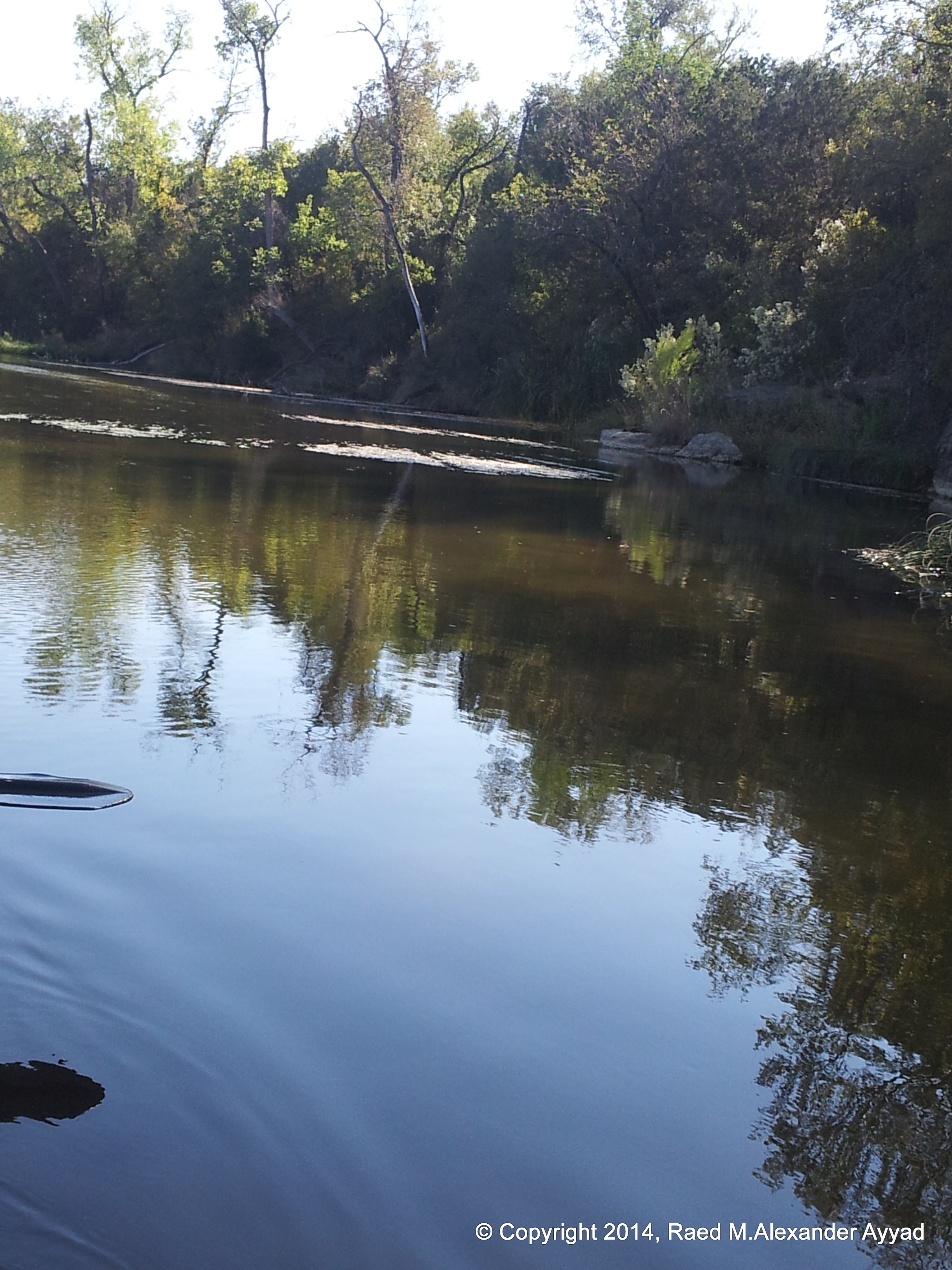
Spring and
autumn are usually the best seasons for the trip. Water levels are better at
these times and temperatures are more bearable. It is recommended that the
hot summer months are good only if there is adequate water flow for
enjoyable canoeing. Even at low water levels, the river starts to deepen in
the Chick Bend area. There will still be some shallows at low water levels,
but they will be shorter and less tiring.
Speaking
about the summer, that brings me to the Texas sun! Sun-block is your friend,
which is a lesson Mike learned on this trip! Initially, being an
outdoorsman, he thought he did not need it, and did not bring any, although
once we were at the launch site, he recanted that thought on his own, and
was the first to use the supply I secured before we put-in... You will
notice how Scallywag's upper-body was roasted red in the photos, even with
his use of the sun-block! imagine if he did not. The direct sunlight is
intensified by what is being reflected off the water surface and
surroundings... people who snow ski/board understand this well too!
Here are
common myths about sun protection:
You
can't get a sunburn on a cloudy day: Up to 80 percent of the UV rays
that cause sun damage penetrate clouds, so your chances of getting
sunburn on a cloudy day are quite high. Also, since UV rays can be
reflected off of water, sand, snow, and concrete, you can even get a
sunburn in the shade or when skiing on a cold, winter day. (Source:
American Academy of Dermatology)
Suntanned skin is healthy: A suntan is a sign of skin damage, just
like a sunburn. (Source: American Academy of Dermatology)
Wearing a t-shirt while in the sun will protect you from burning:
While clothing provides some protection, a standard white t-shirt
only has an SPF of about 7. If it's wet, the SPF can go down as low
as 3. The darker and thicker the clothing, the more protection it
provides. (Source: Skin Cancer Foundation)
If
you have dark skin, you don't need to use sunscreen: Although dark
skin does not burn in the sun as easily as fair skin, the sun can
still damage the skin. (Source: National Cancer Institute)
You
need to sunbathe to make sure you have enough Vitamin D: Vitamin D
is present in everyday foods. The American Academy of Dermatology
does not recommend deliberate sun exposure for the purpose of
getting Vitamin D. (Source: American Academy of Dermatology)
SPFs
over 30 don't give you more protection: Sunscreens are rated or
classified by the strength of their sun protection factor (SPF). The
SPF numbers on the packaging can range from as low as 2 to greater
than 50. These numbers refer to the product's ability to deflect the
sun's burning rays (UVB). However, some sunscreens now include
compounds such as titanium dioxide, zinc oxide and avobenzone which
helps protect against UVA rays as well. The sunscreen SPF rating is
calculated by comparing the amount of time needed to produce a
sunburn on sunscreen-protected skin to the amount of time needed to
cause a sunburn on unprotected skin.
If
you've lathered yourself with a high SPF sunscreen, you're fully
protected from the sun: Skin care experts recommend using a
combination of sun protection tactics that include seeking shade,
using sunscreen with SPF 15 or higher, and wearing UV-blocking
sunglasses, a hat, and clothing that protects exposed skin. (Source:
Centers for Disease Control)
By the
way, many people mistakenly think that a sunscreen with an SPF 45 rating
would give three times as much protection as one with an SPF of 15. This
is not true. SPF 15 sunscreens filter out about 93% of UVB rays, while
SPF 30 sunscreens filter out about 97%, SPF 50 sunscreens filter 98%,
and SPF 100 filter 99%. The higher you go, the smaller the difference
becomes. No sunscreen protects you completely. (Source: American Academy
of Dermatology)
OK, that is
the end of that public service announcement!! [lol] ... Back to our
adventure!
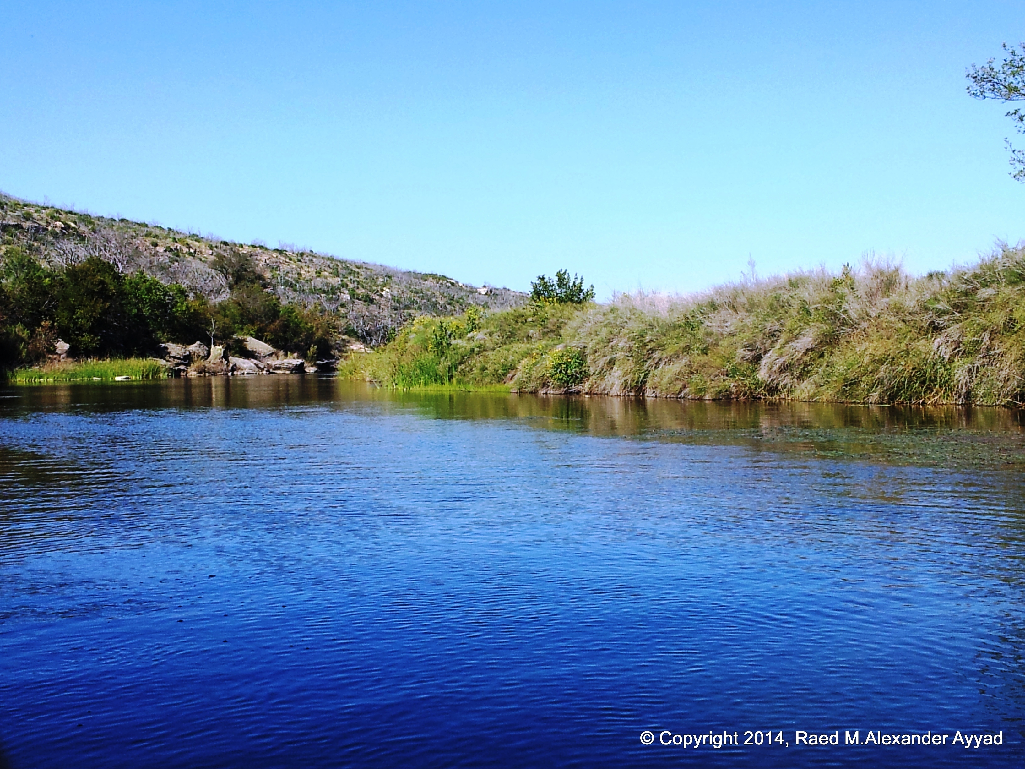
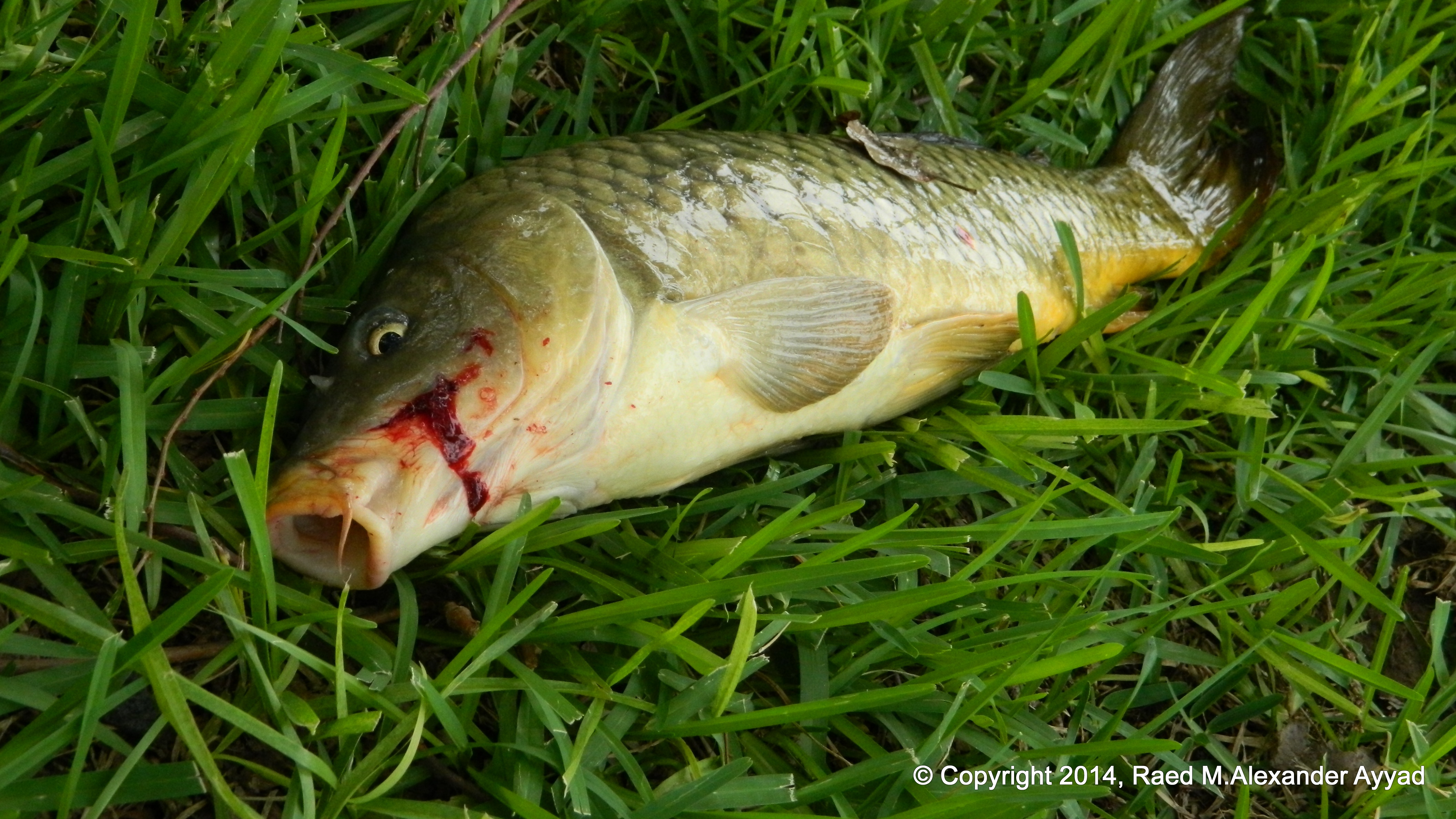
It is told
that fishing for
pan fish, bass and catfish is usually good to excellent. This also is
dependent upon water flow and conditions. Even though we had setout to do
some fishing as part of this trip - especially for Mike who is a very able
fisherman- we really did not spend enough time doing
so, for we were more taken by exploring the terrain and the river and
enjoying the canoeing experience. There are many photogenic spots,
especially the rocky sections of Garland and Chick Bend, or some of the small
exciting rapids. There are abundant and adequate campsites, however, be
aware that there are no
parks or public camping facilities. All gear which is needed must be
carried with you.
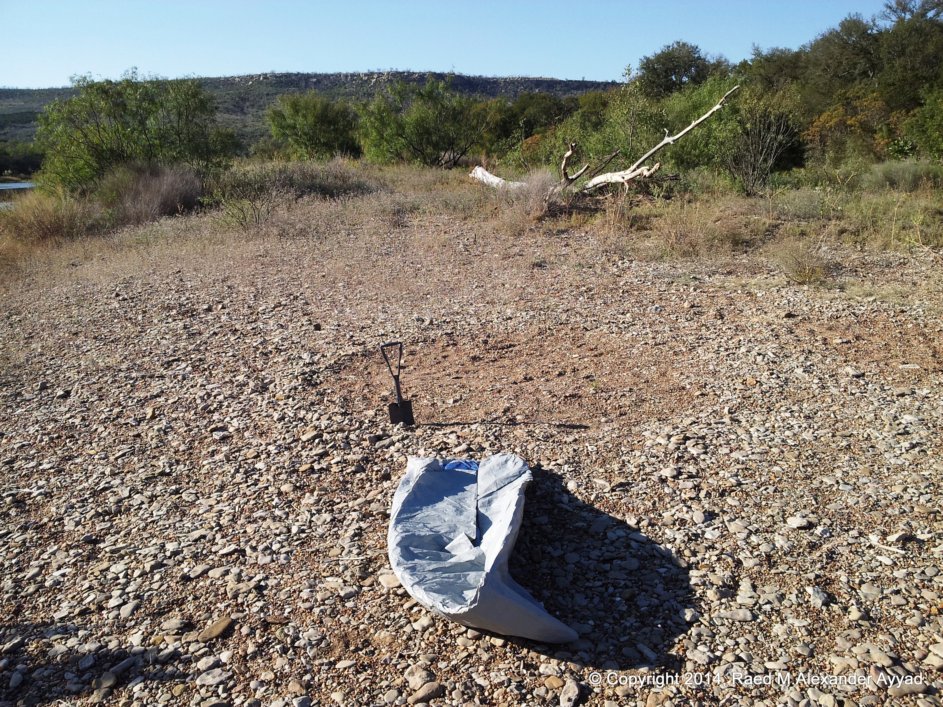
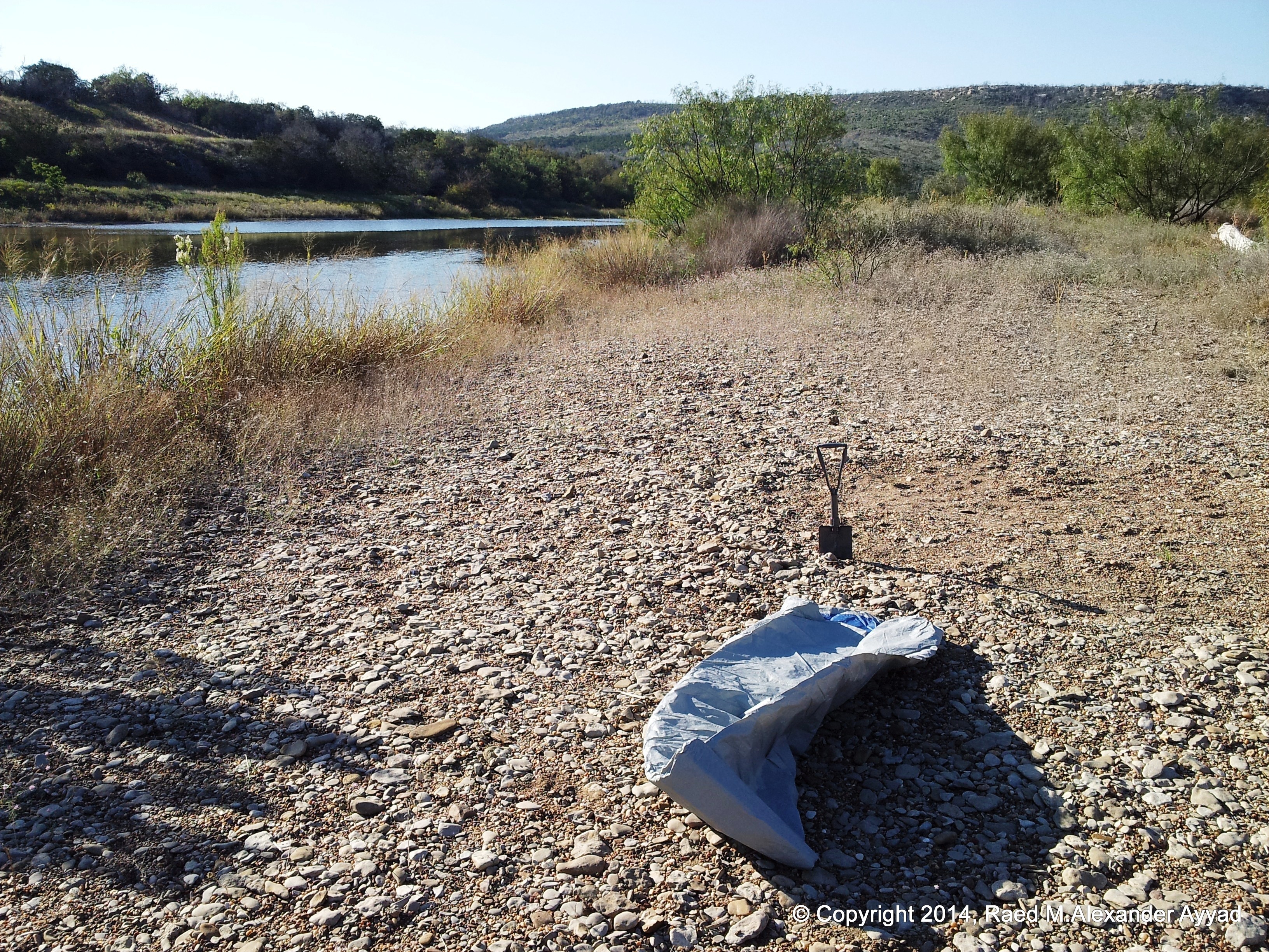
In regards
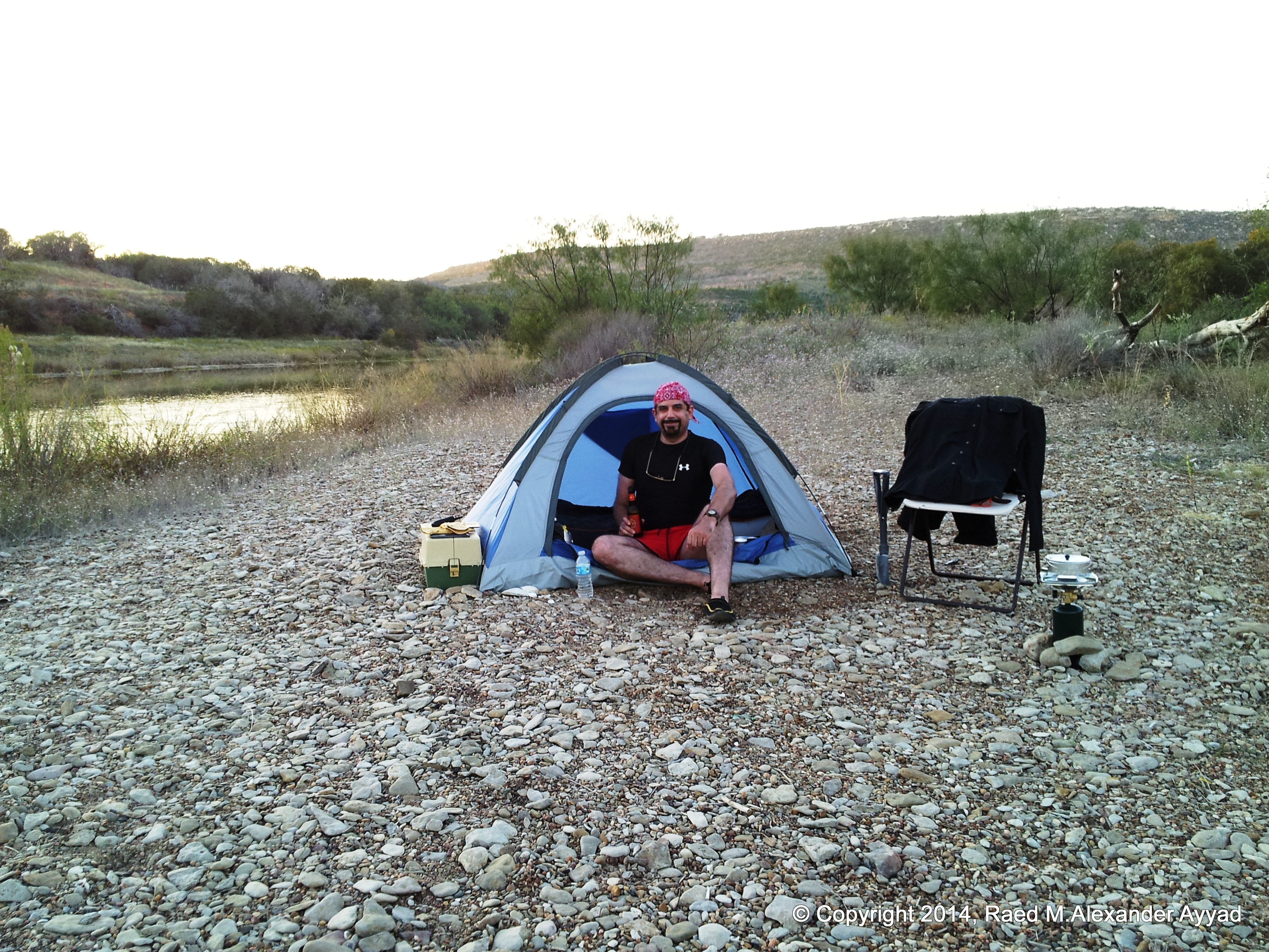
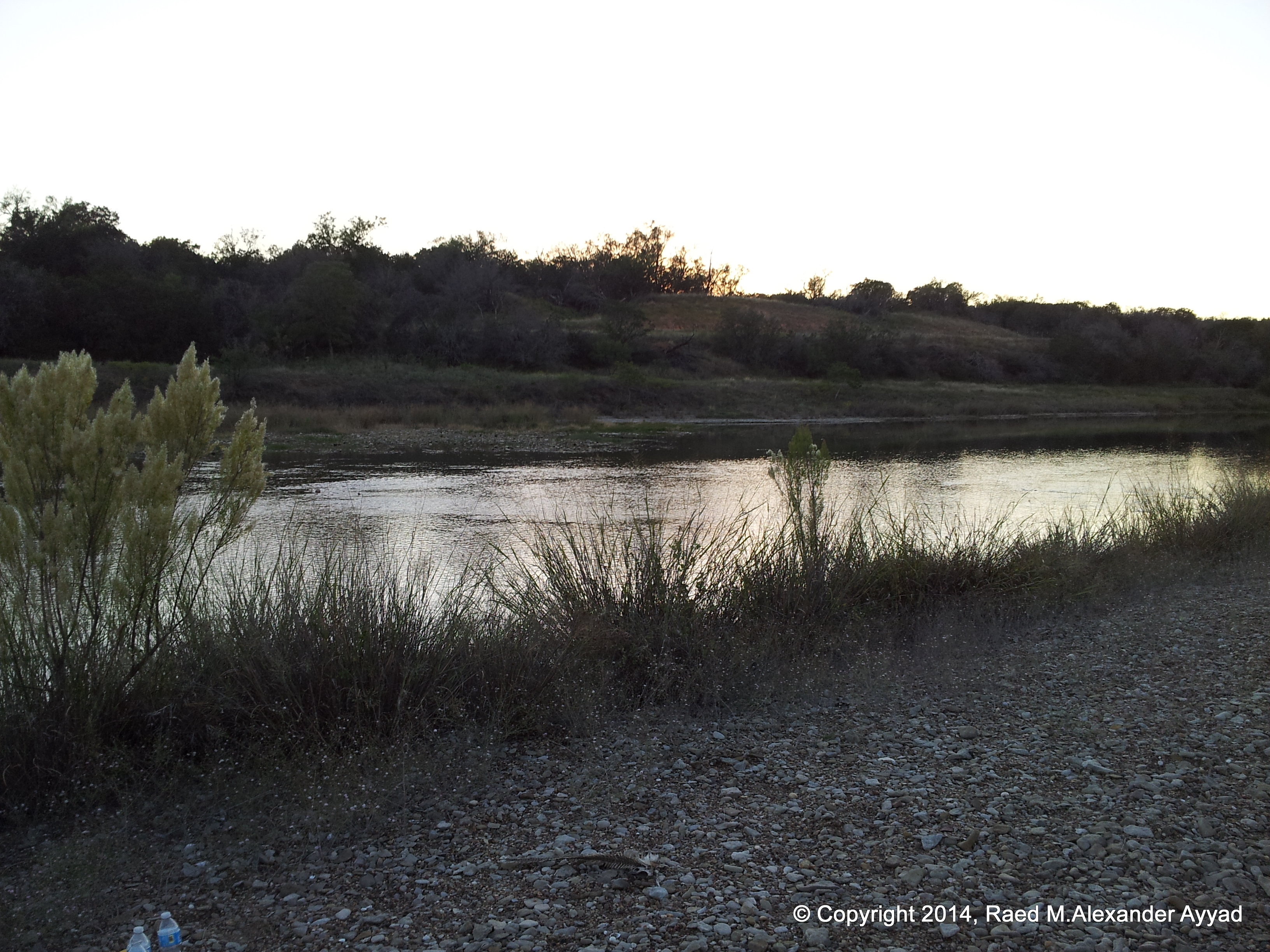
to camping, rather than doing so on the banks of the river, we chose one of
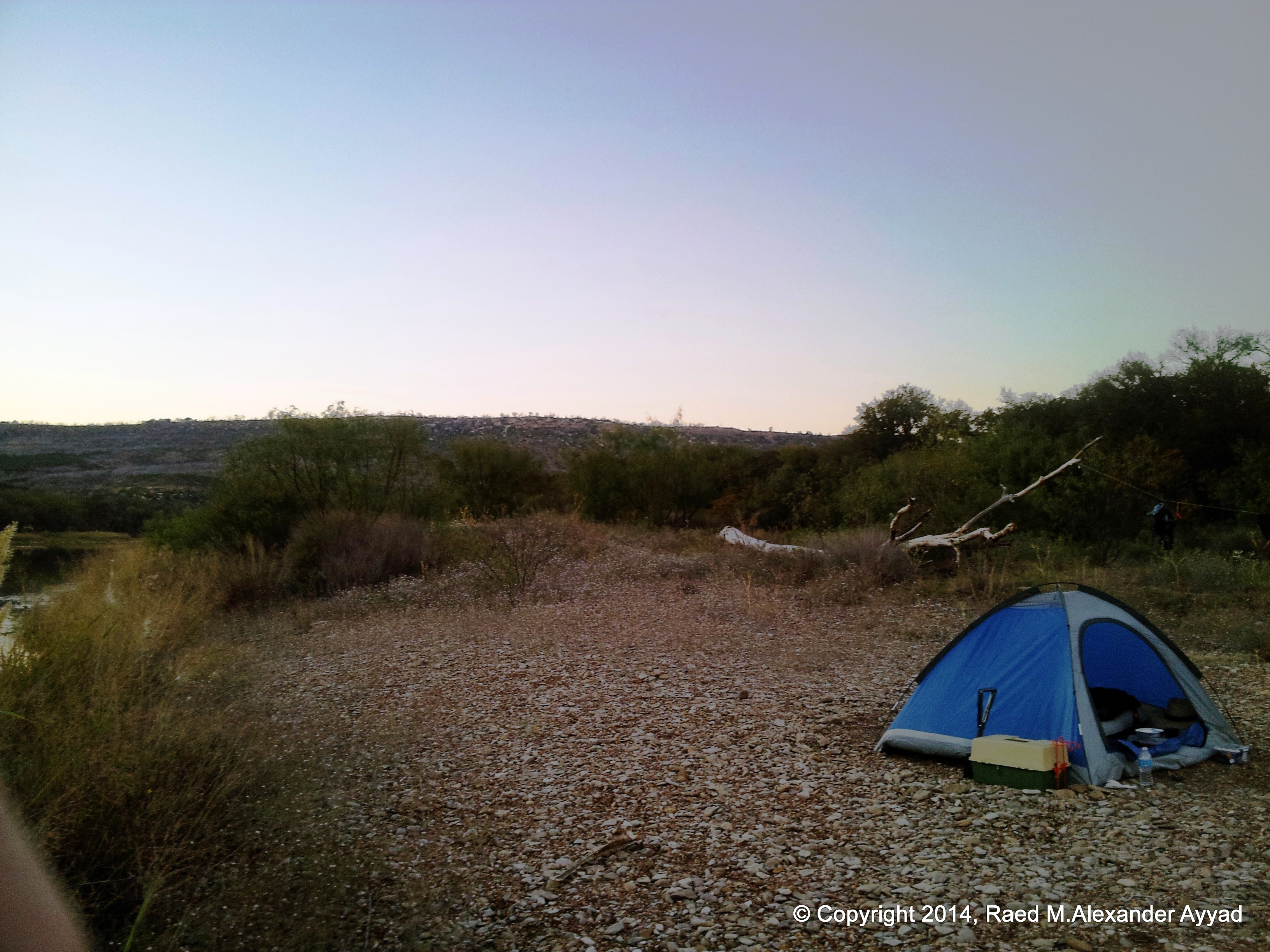
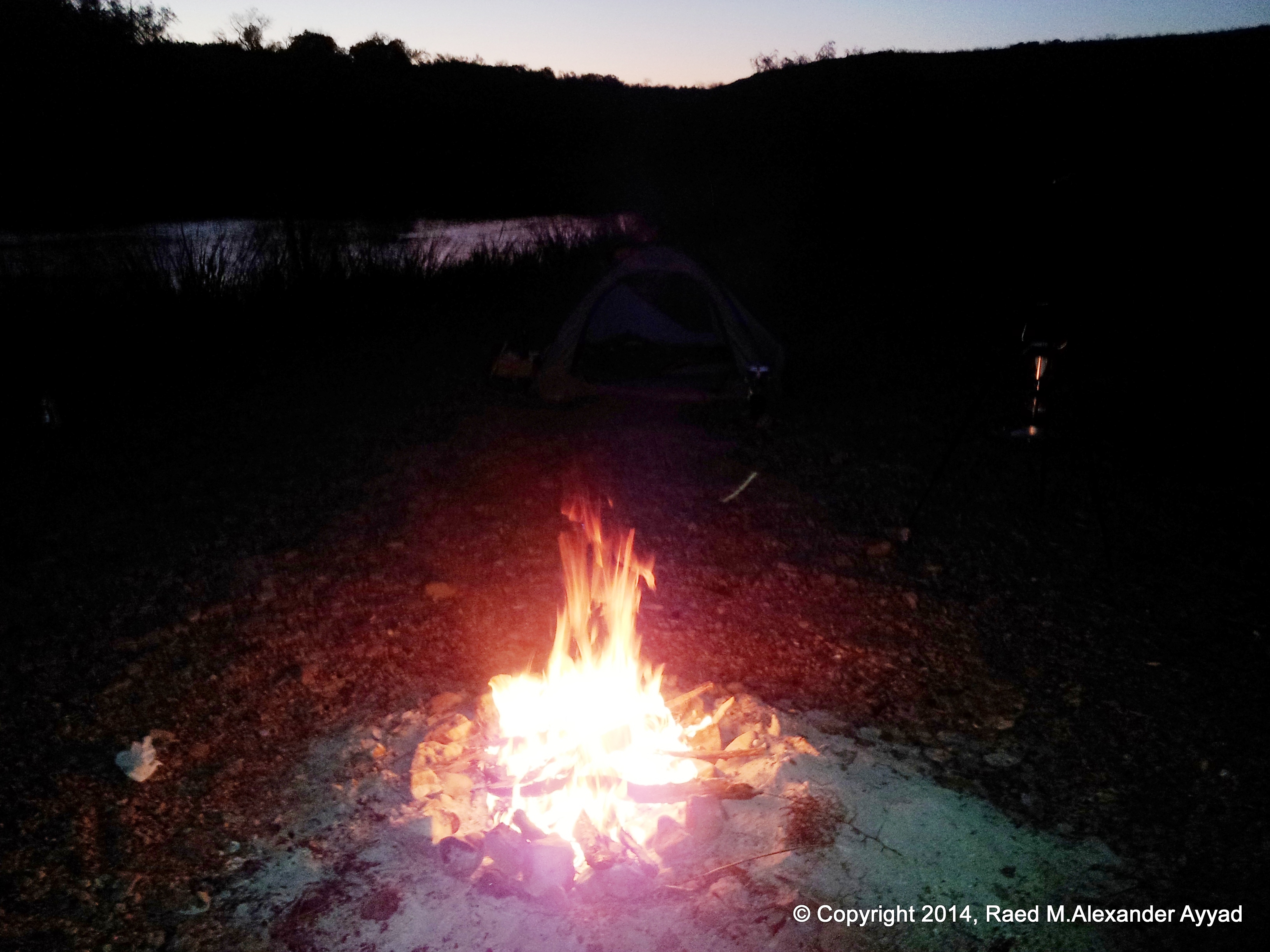
the larger islands in the middle of the river to setup our campsite. It was
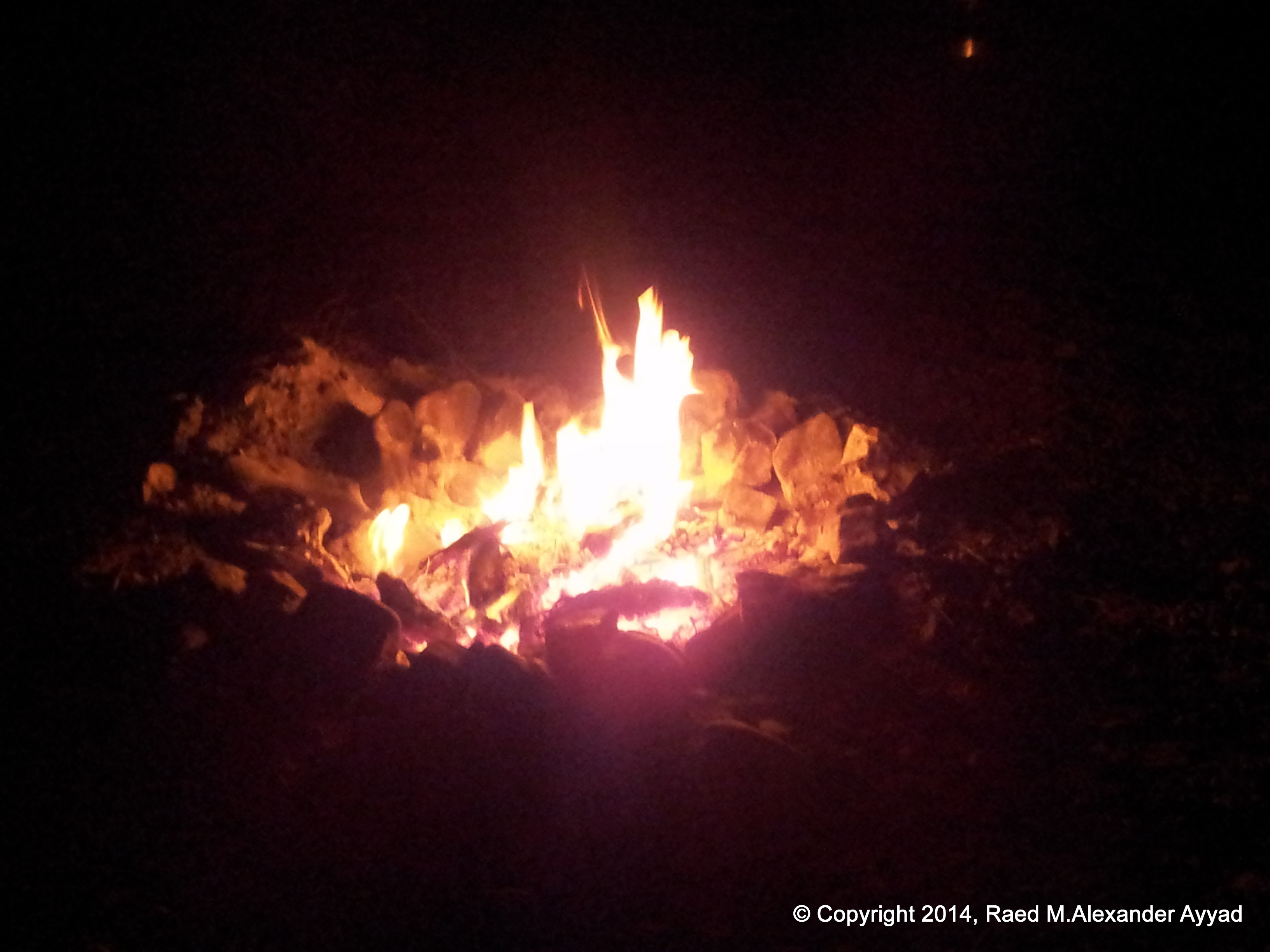
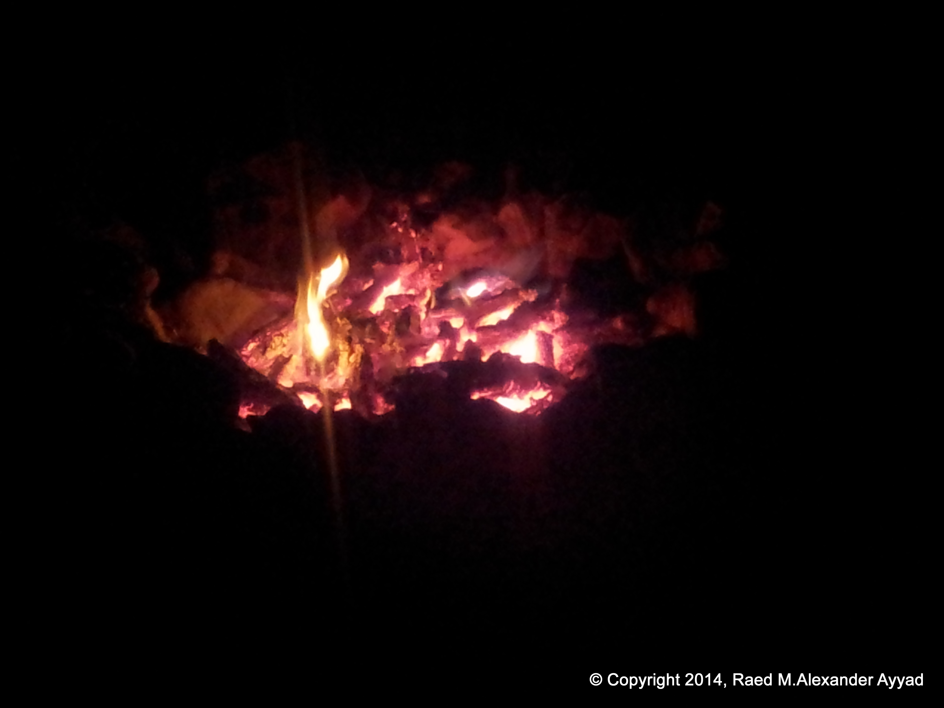
obvious that someone used the same location in the past, because we found a
ring of rocks that was used to contain a camp fire which we were able to
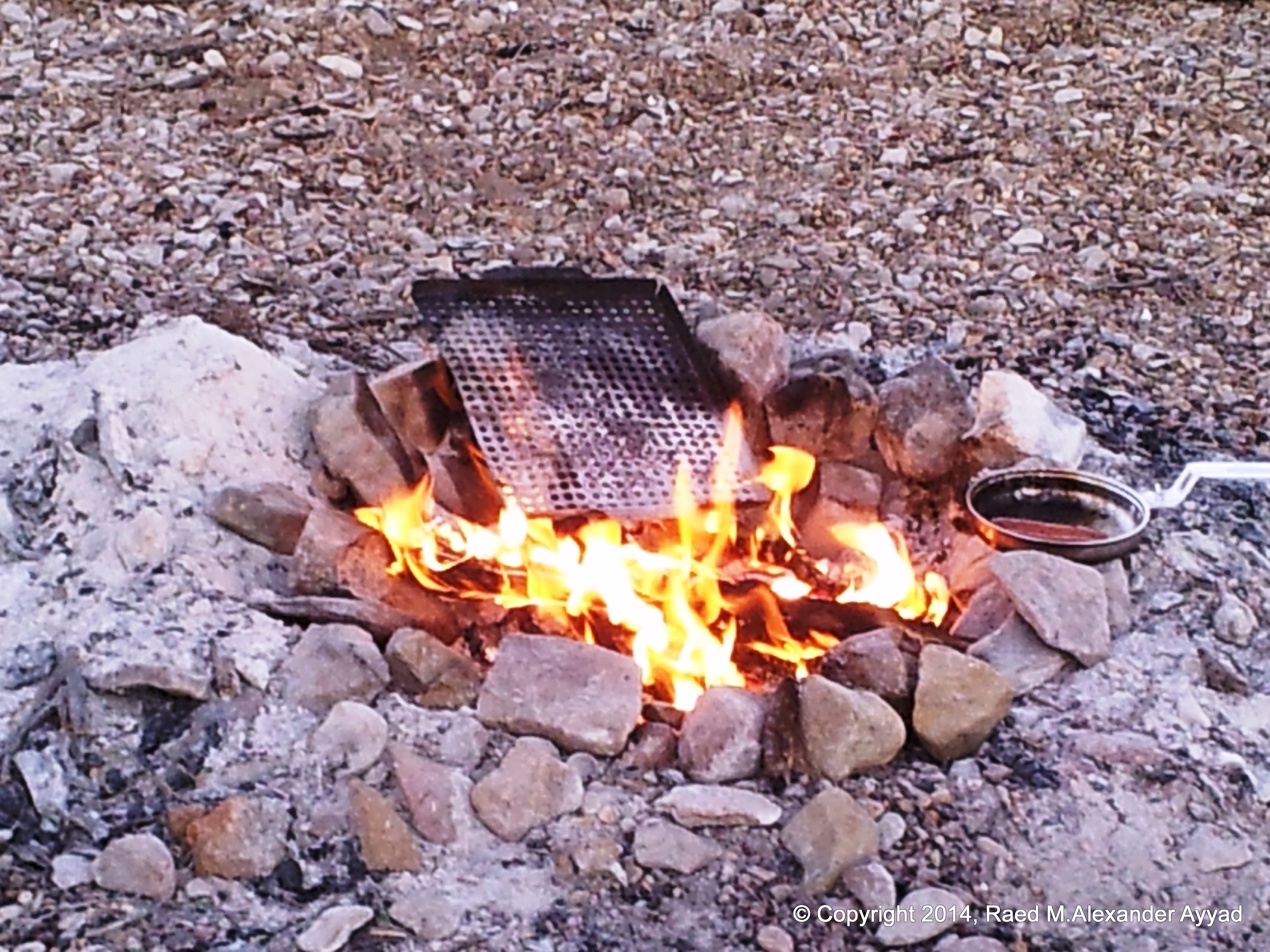
salvage and reuse!
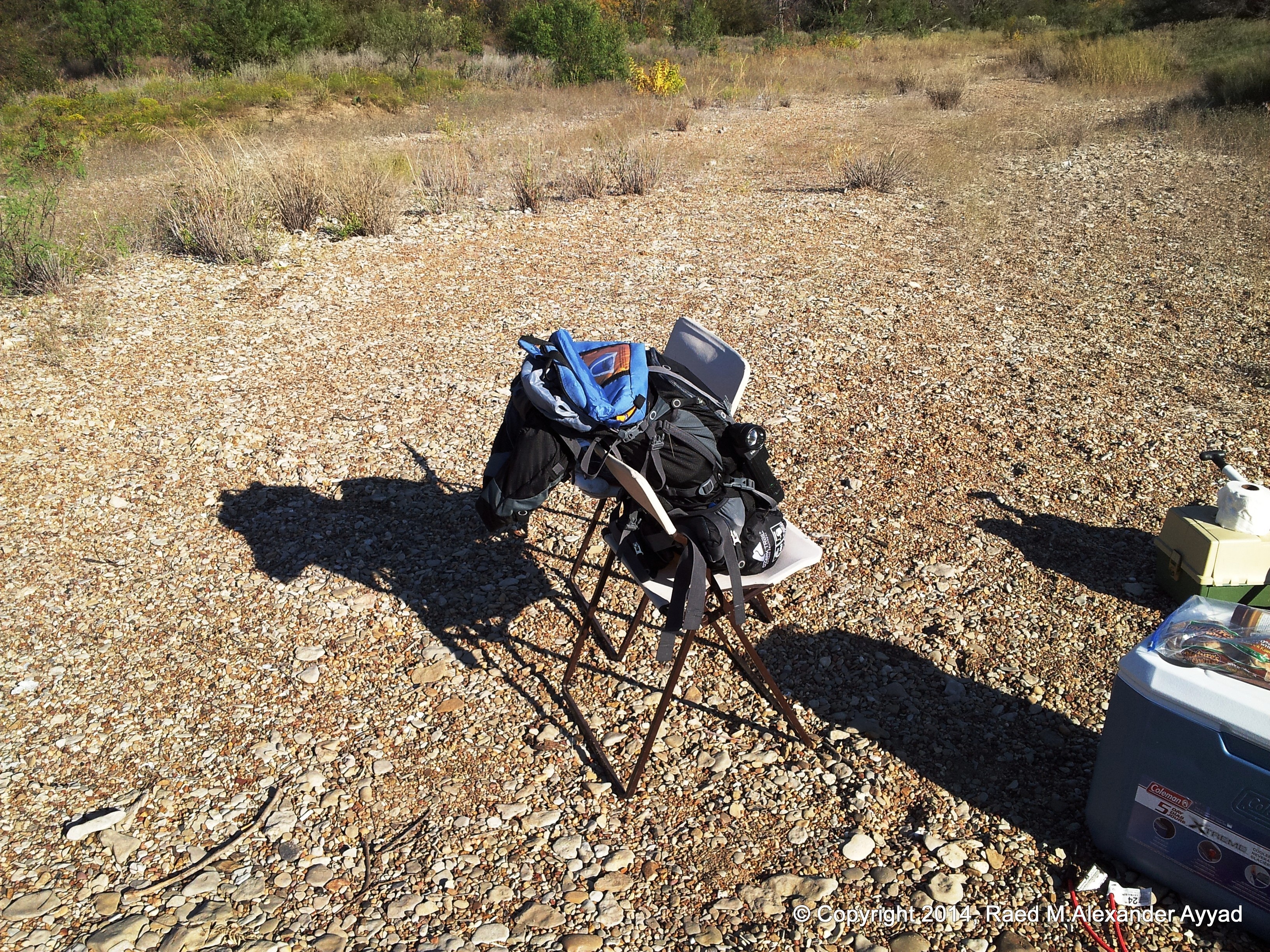
For food,
originally thinking that we will be hiking on the trip, I travelled
relatively lightly (everything I usually fit in my rucksack and carry on my
back -which includes a camelbak hydration reservoir and a water purification
system), which meant nonperishables (trail mixes, granola bars, summer
sausage, crackers, peanut-butter, honey, coffee, tea and water). Once I
realized that Mike brought an icebox, we added spicy smoked sausage links,
eggs, butter, condiments, a baguette, brew (I am not talking about iced-tea
[lol]), more water, and live fishing bait!
Mike also
brought a couple of folding chairs, a larger tent and inflatable bed for his
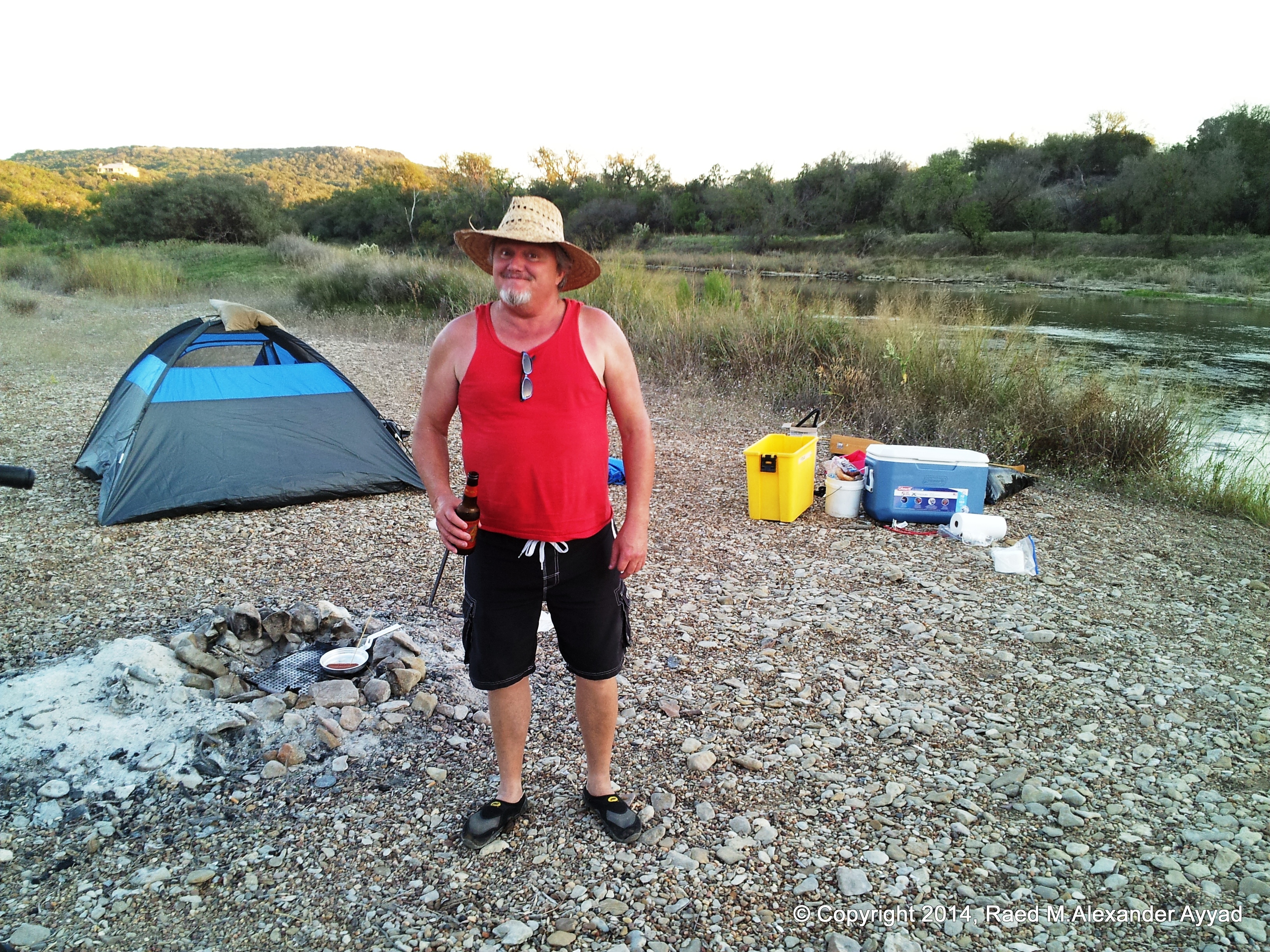
comfort, so, my added luxury item of choice was my trusted and versatile "Stanley J45C09
900-Peak-Amp Jump Start System" (or "The Football" as it is nicknamed
-first by my pal Douglas "Doc" Dow,
referencing the U.S. president's "emergency satchel"), which we used to recharge our electronics
and run our portable USB powered devices such as cameras, my tablet,
GPS/Transceivers, and Smartphones.
All and all,
by the end of this trip, and to date, there were
certainly three very notable and memorable images which were burnt in my mind,
and which I left this experience with...
... the
first is the memory of the laughs I had with my brother (Mike) during
the canoeing trip and after (mostly at ourselves and certain incidents we
experienced! [I am snickering right now as I think of them!])...
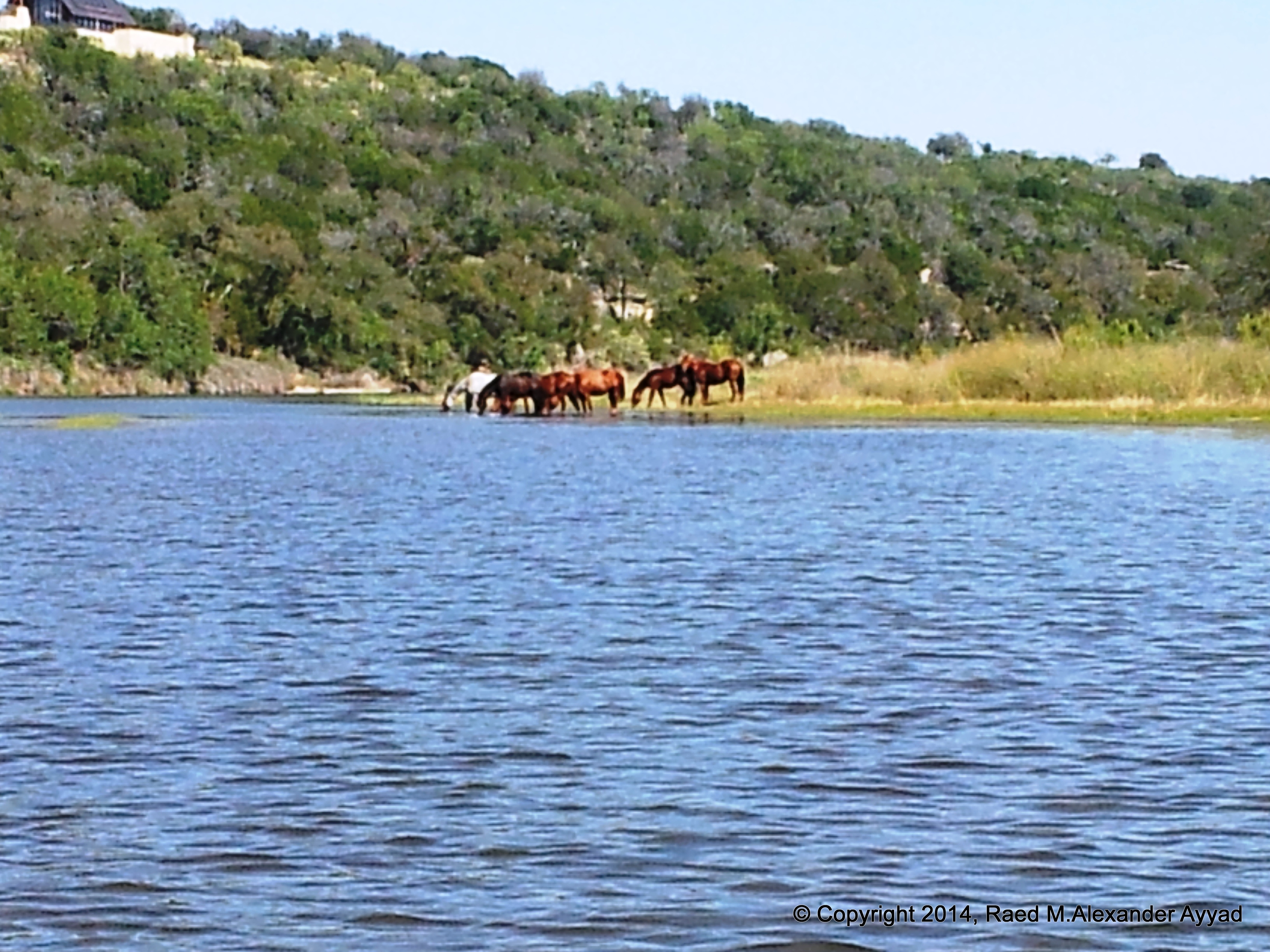
... the
second is the image of a herd of what seemed to be feral horses that
came galloping to the river to drink at one bank, and which later we found
out that they crossed the river to the other bank -after they were behind us
and out of our sight- and caught up with us before they went up the cliff
and disappeared from our view again...
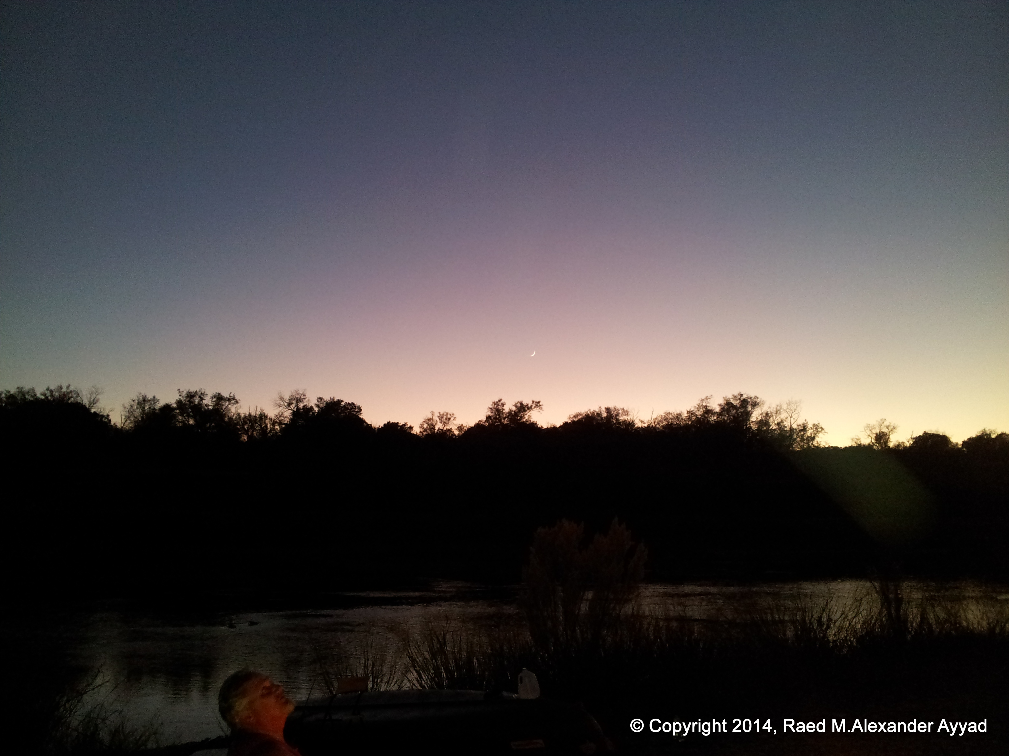
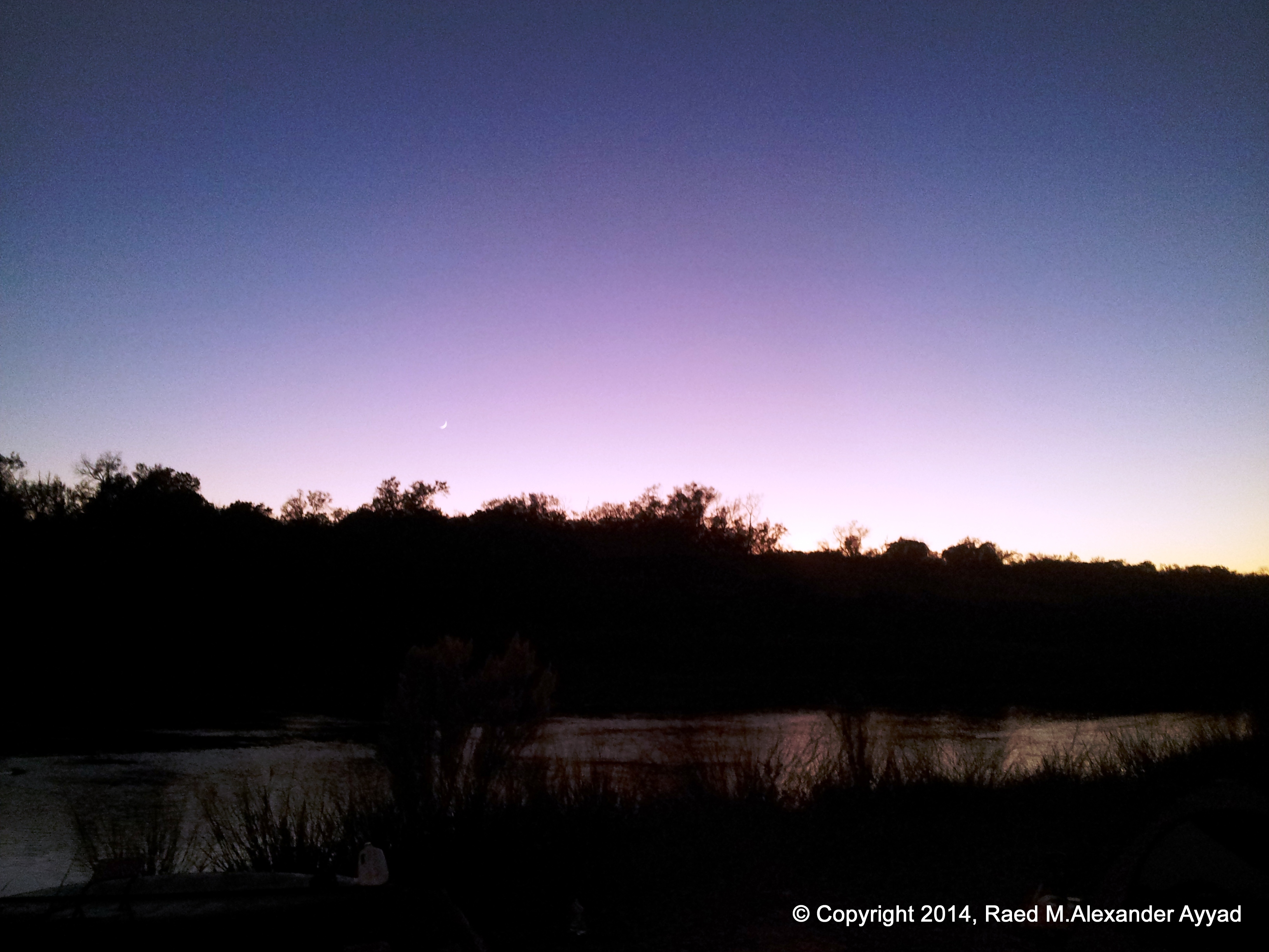
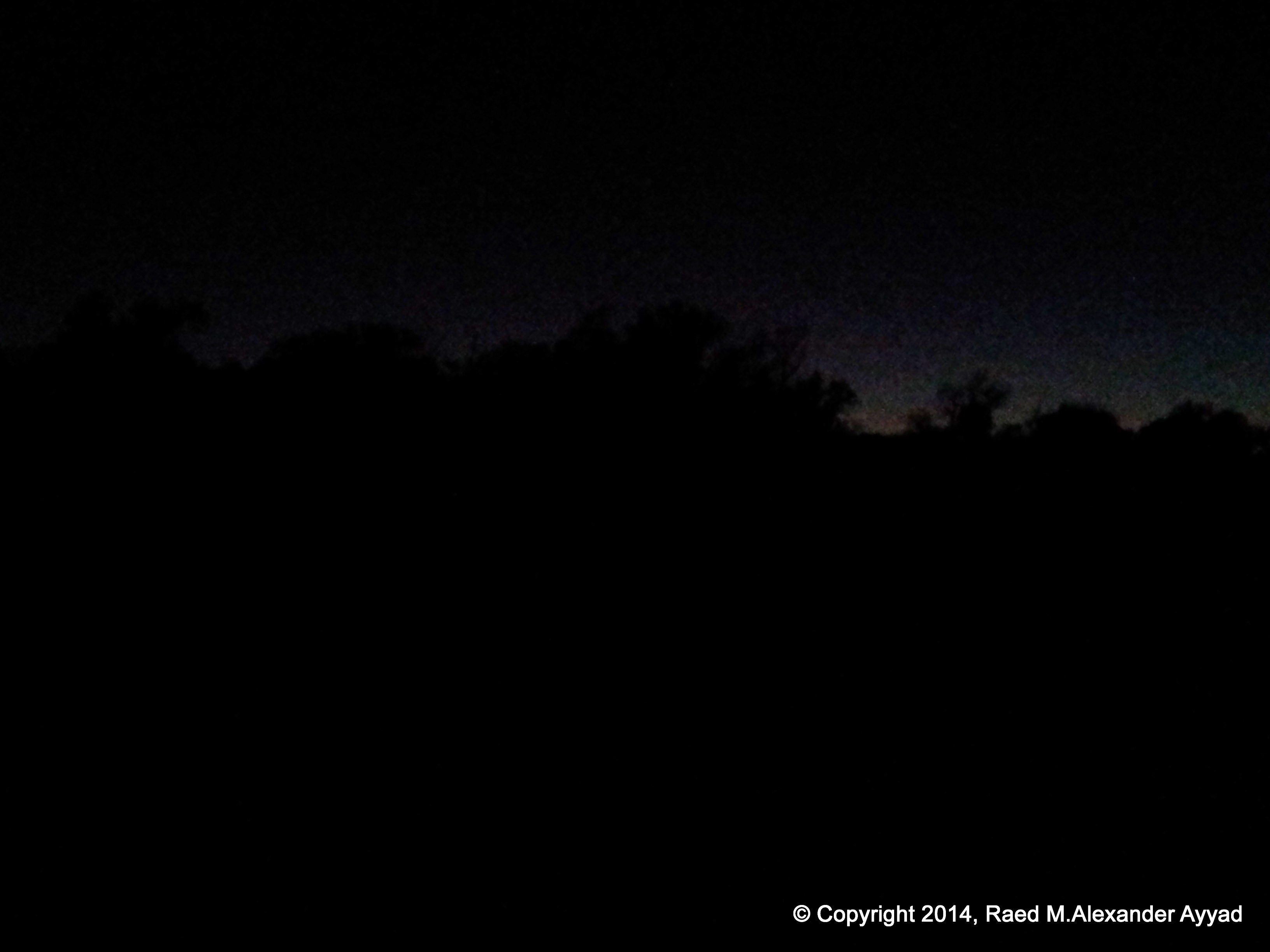
... and the
third is the image of the night sky, the sliver of the new moon at
sunset, airglow, and the densities of stars upon stars that illuminated the
heavens... millions... nay... billions! While I laid
my head down to sleep for the night, I quickly noticed that the head of my
sleeping bag and my pillow were oriented towards the constellation
Sagittarius, and my left shoulder towards the planet Mars... it all was
amazing and full of wonder! ... what romantic beauty.
Unfortunately, not having my proper photography gear, I was not able to
document the imagery of the night sky on this trip.
The only
victim of this trip was my favorite straw hat that was deformed during the
last night of camping, where I woke-up the next morning to find my right leg
resting on top of its crown and crushing it! I still have not given-up
efforts to restore it to its original shape [lol].
Mike pulling canoe through shallows... it is "obvious" that he is loving it! [lol]
"Row, row, row your boat gently down the stream..." =)
Scallywag, being himself! [LOL] Making faces, and being happy that he does not have to row the canoe anymore! =)
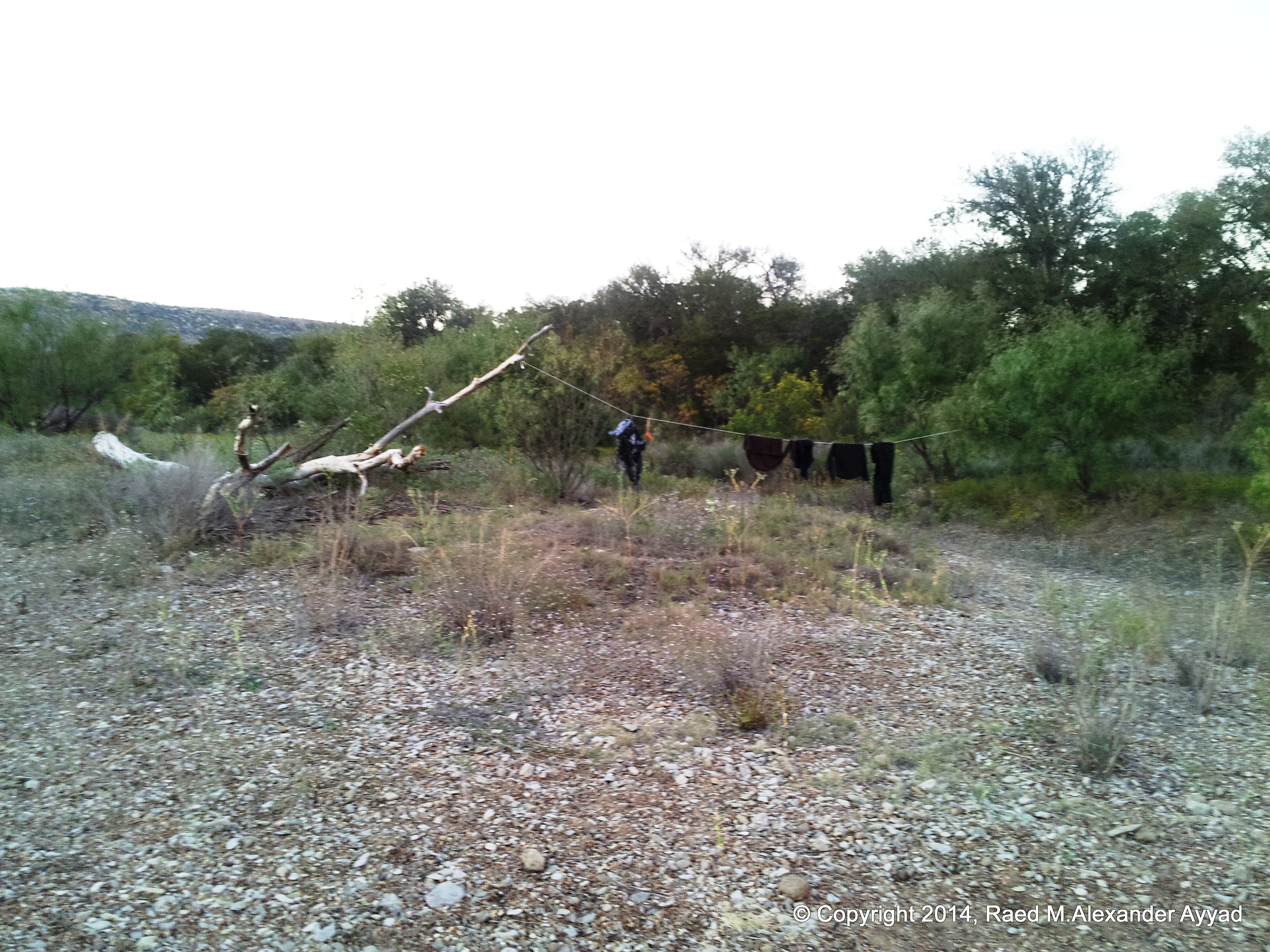
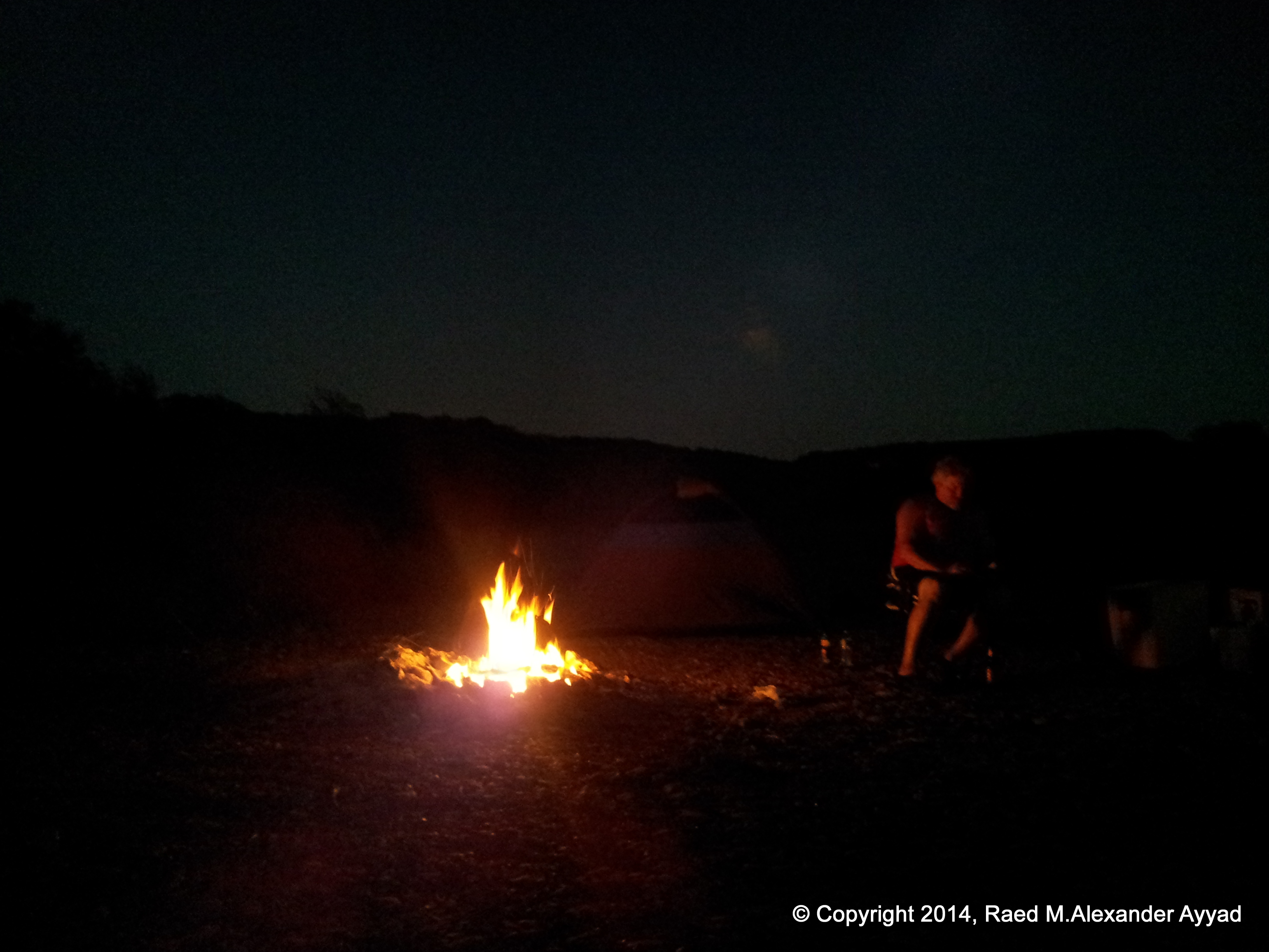
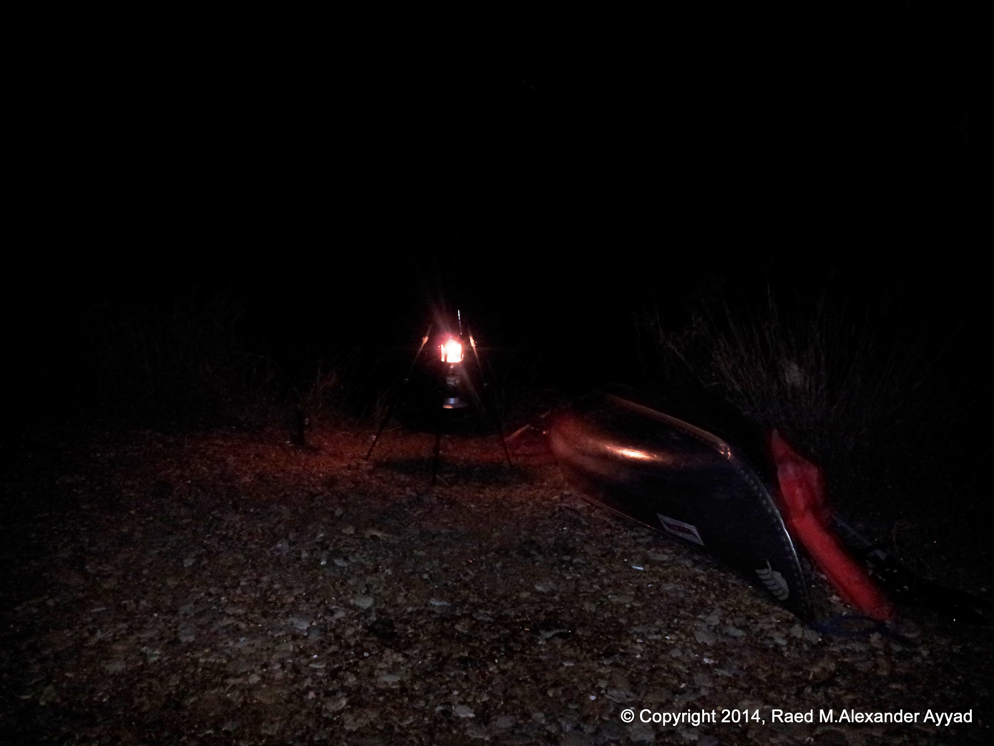
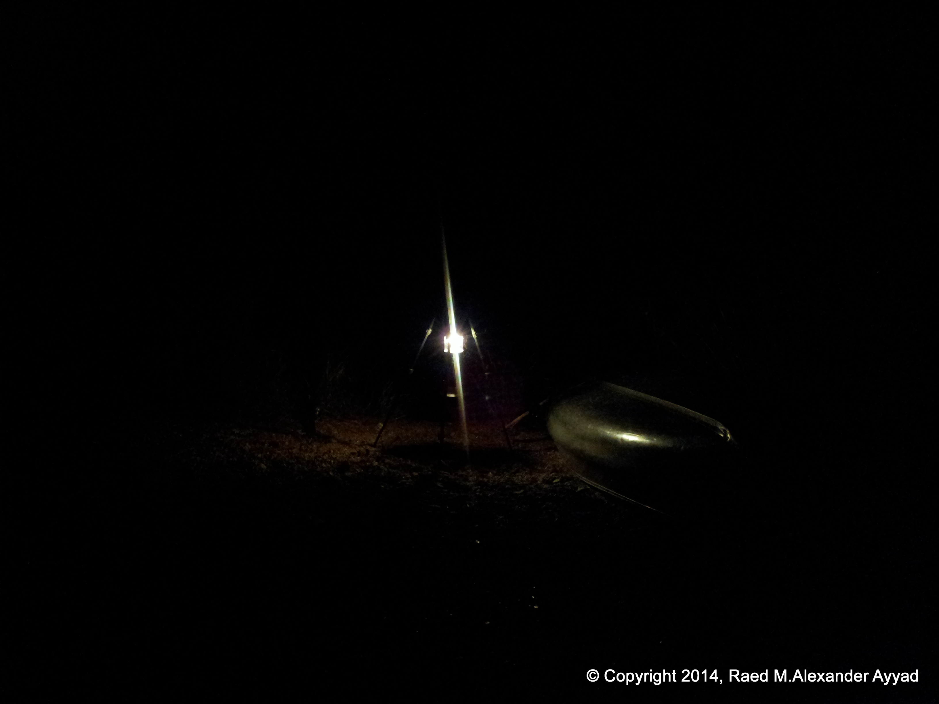
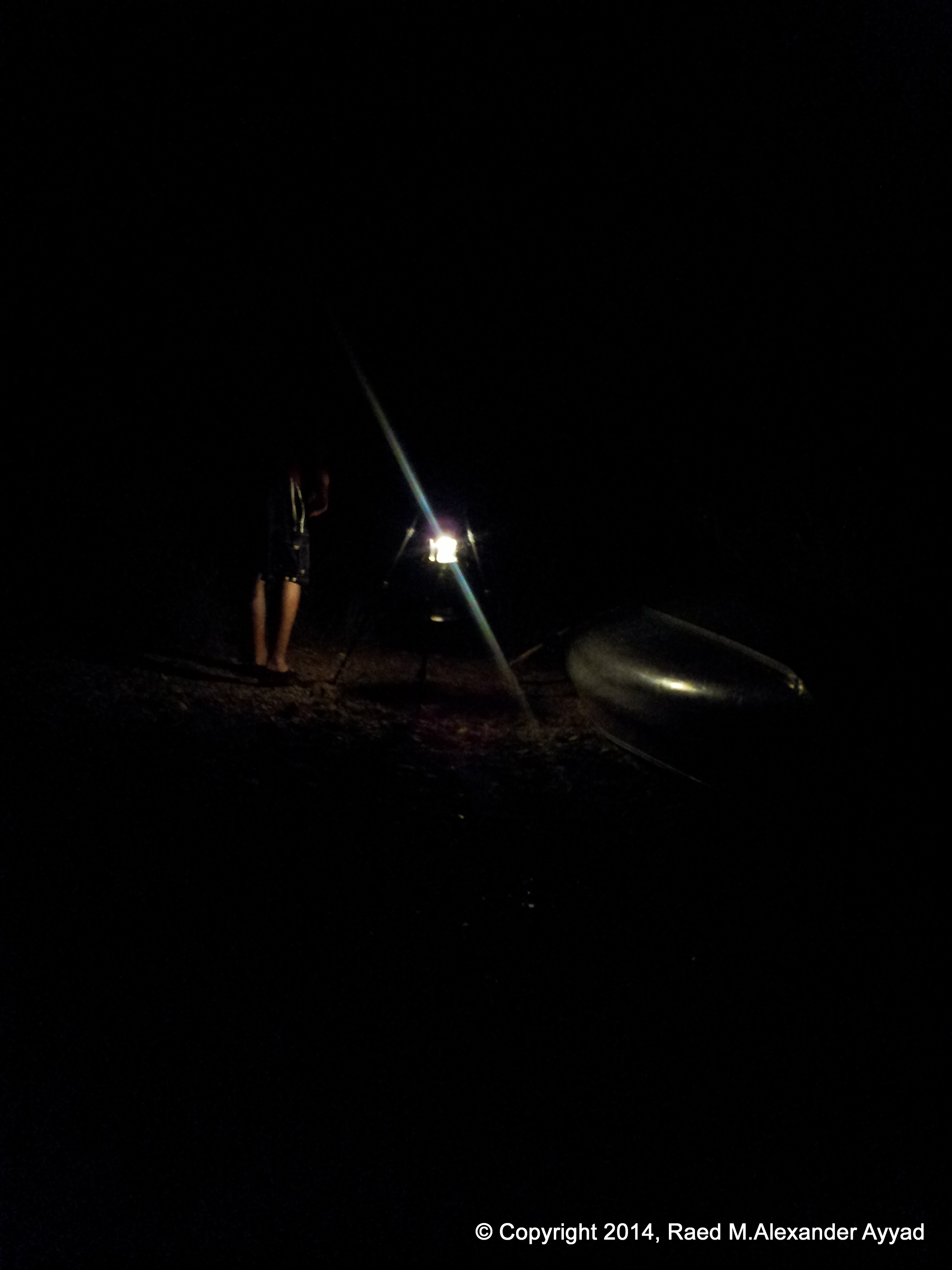
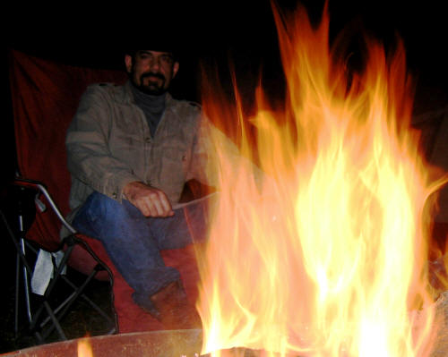
Chillin' with a "cool one" after setting up my campsite, cloths line, and campfire =)
Sorry! Consistantly, at meal times, we were too hungry to think of taking photos of the food being cooked! 'Must be the fresh air!
Mike staring at the stars above...
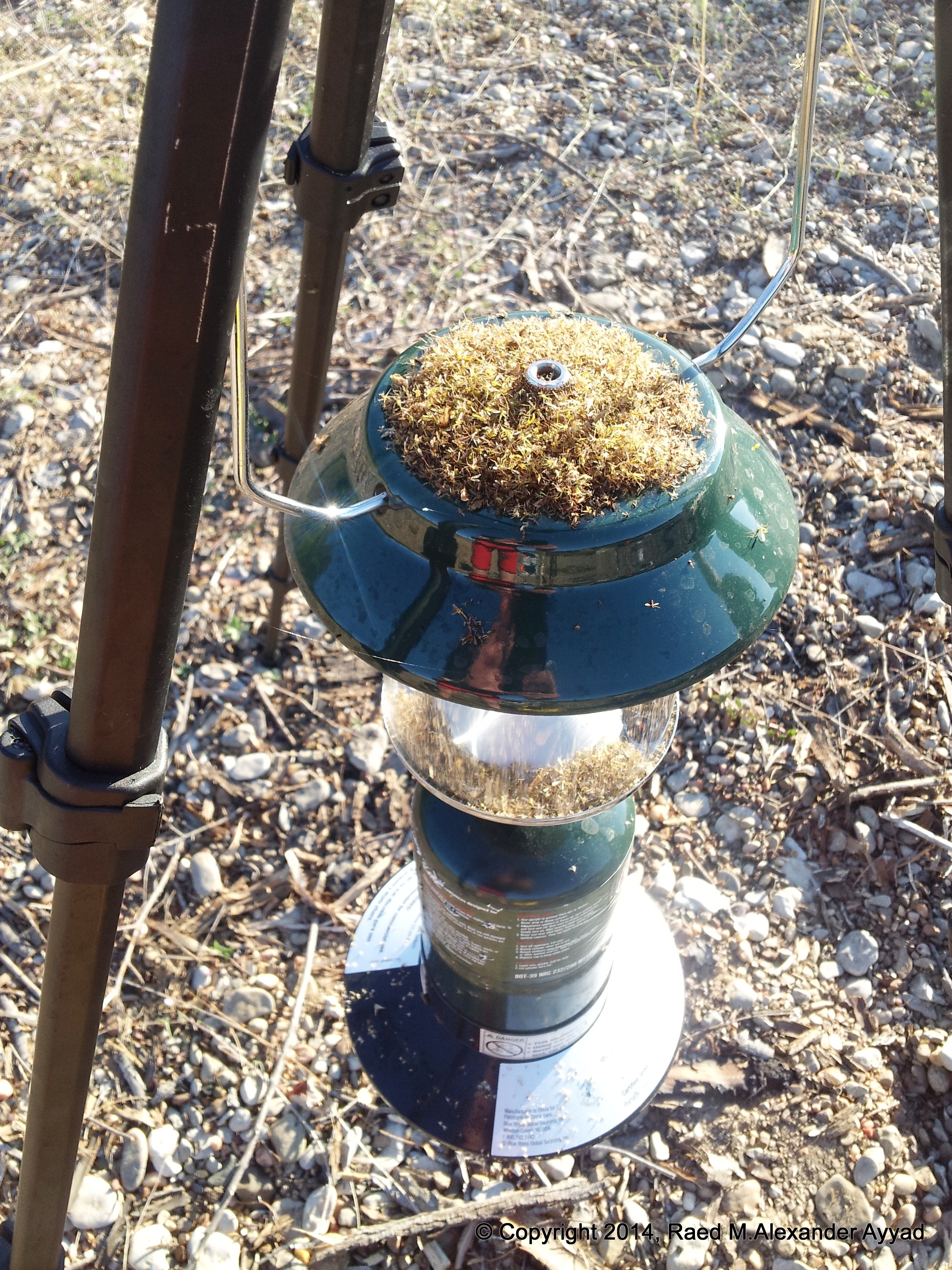
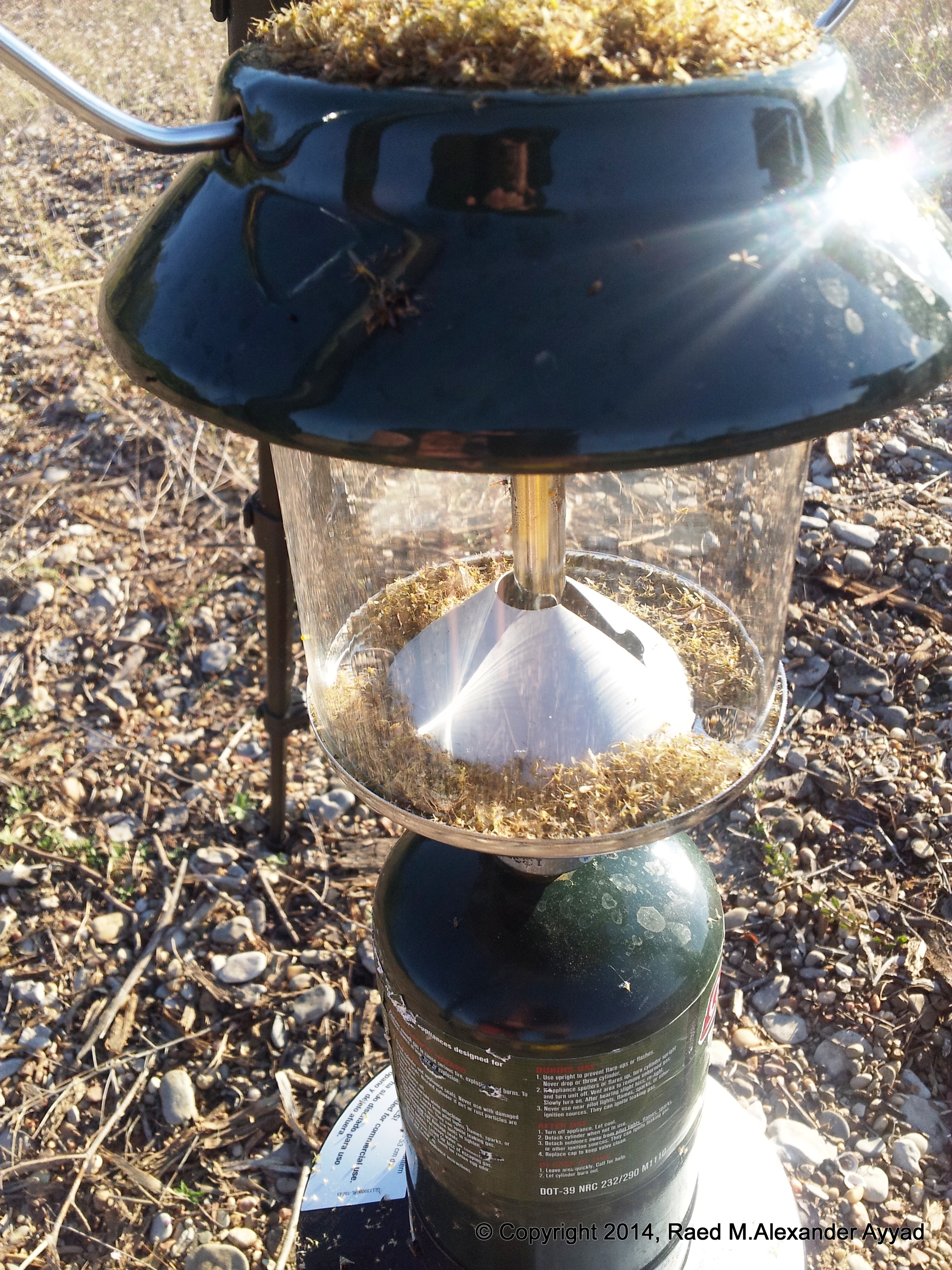
... light... bugs... heat... dead!
... Hey! Wait for us!! =p
Packing my campsite to get back on the river!
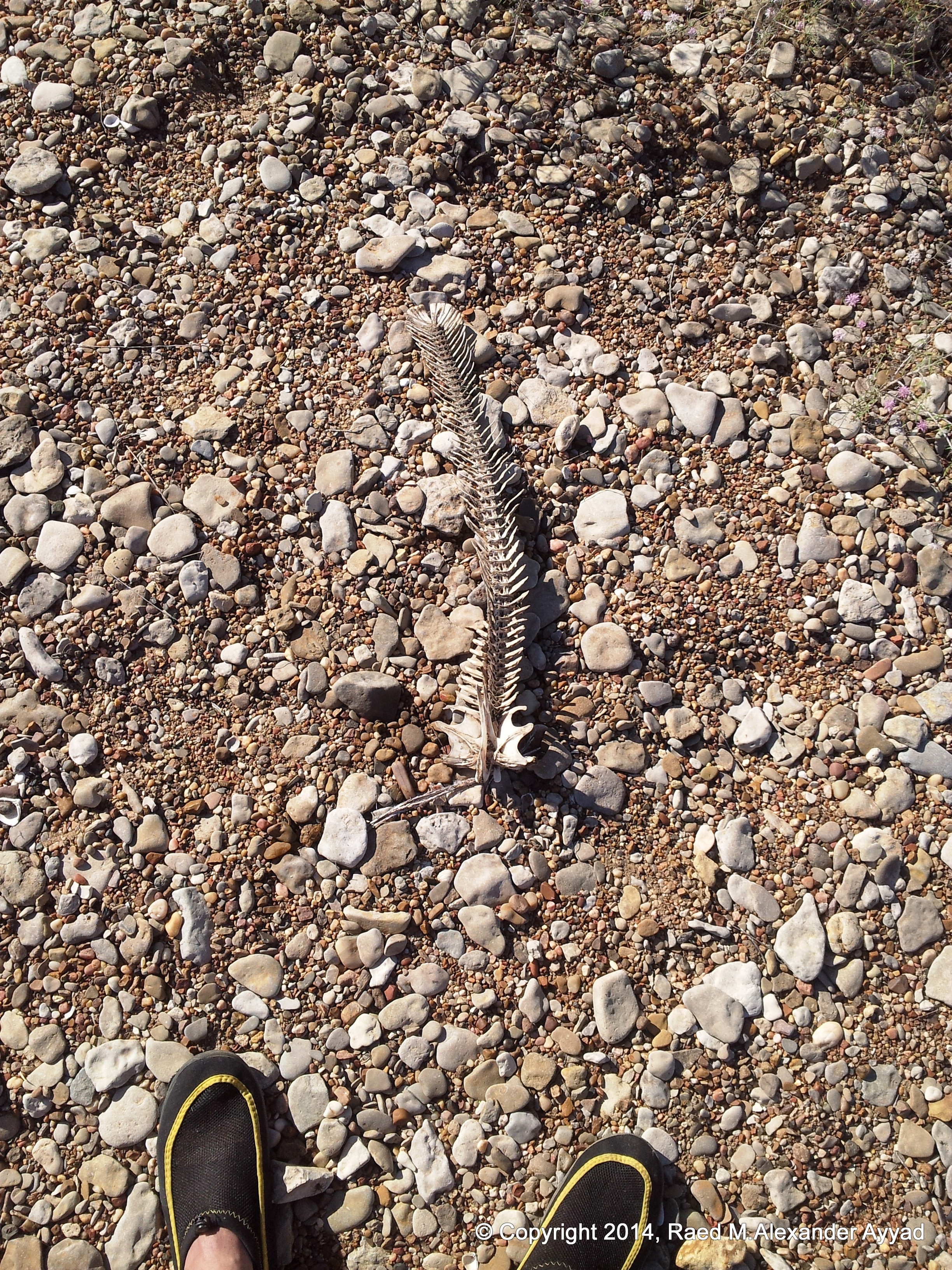
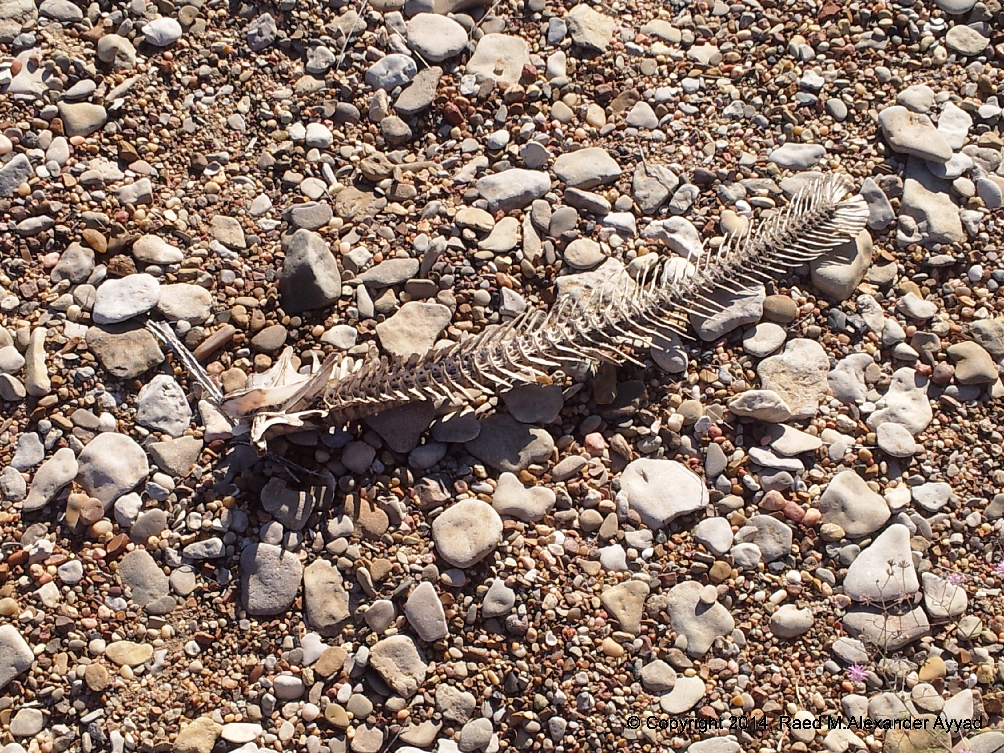
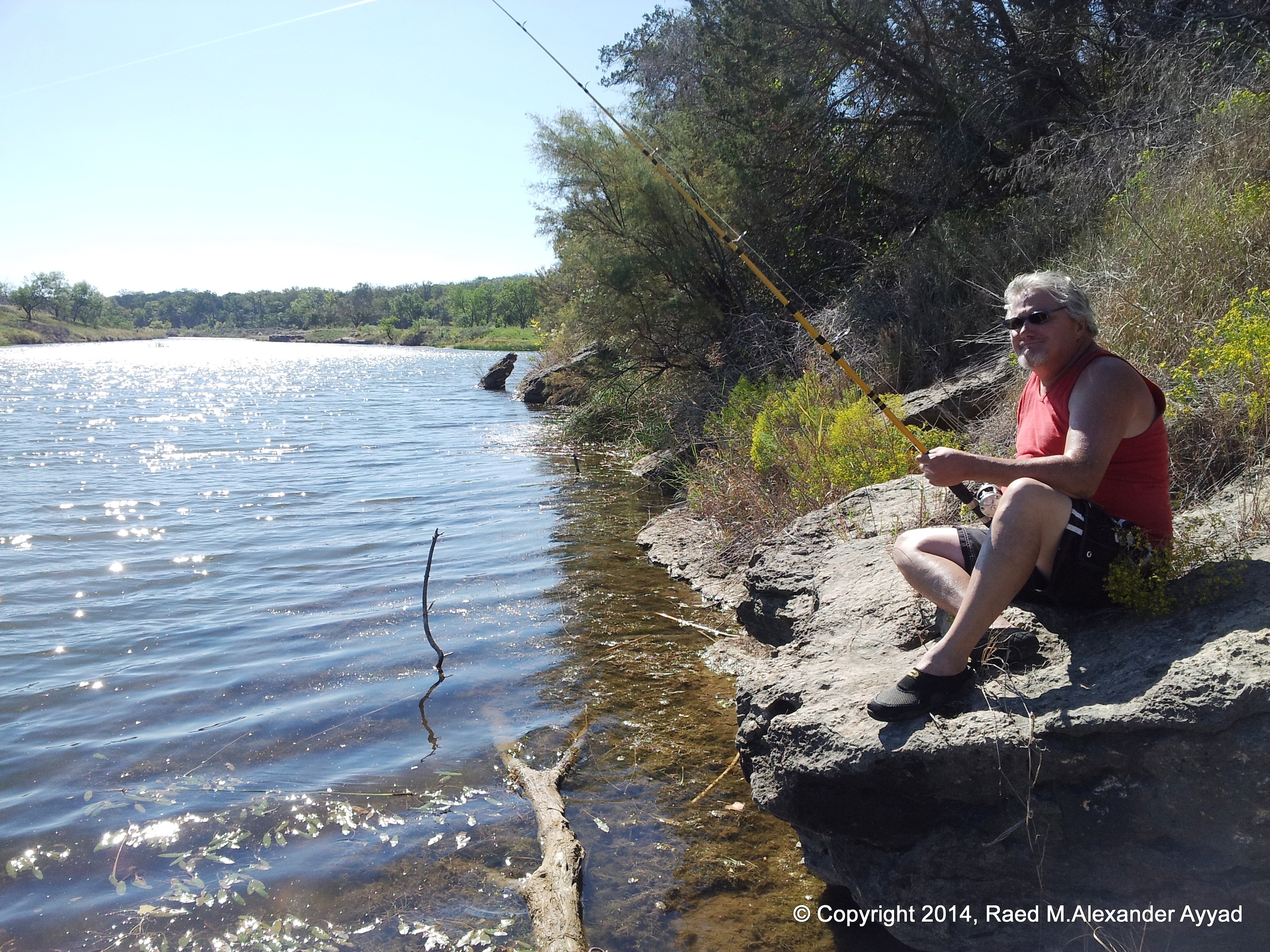
... Perhaps of a Gar?
... Perhaps of a Gar?
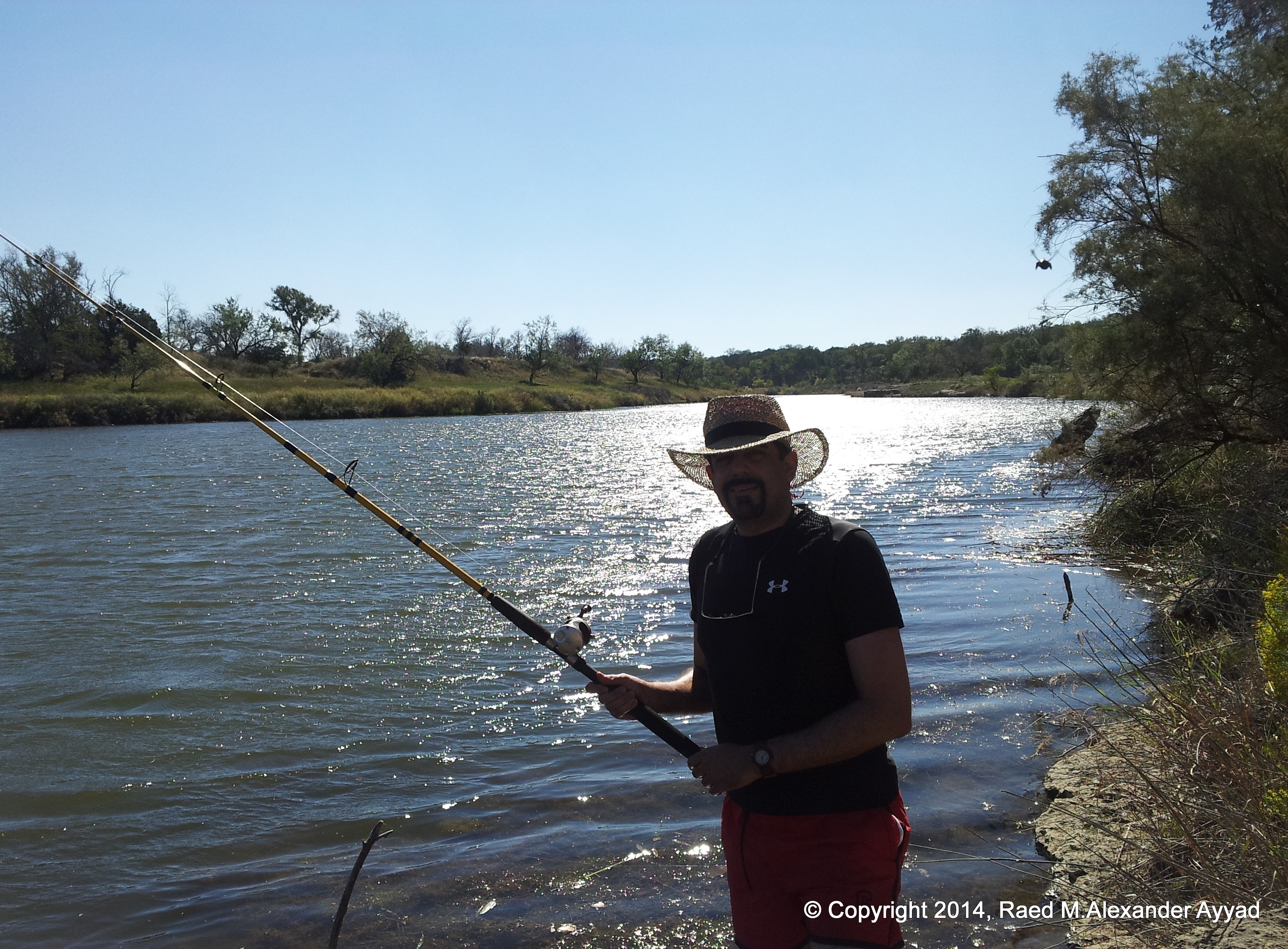
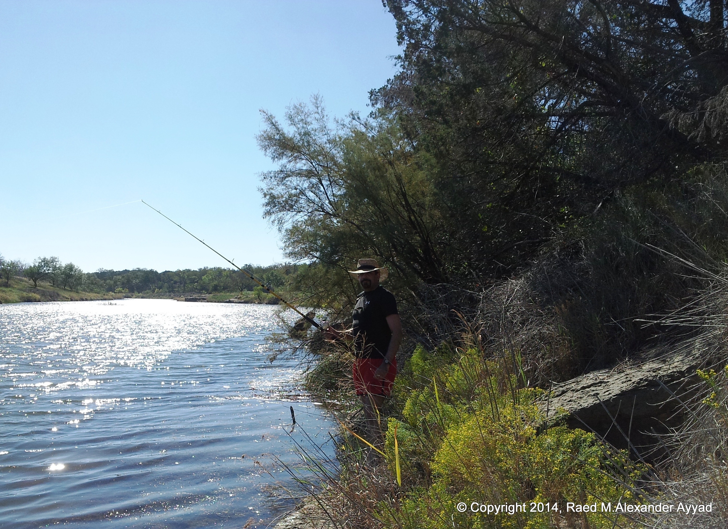
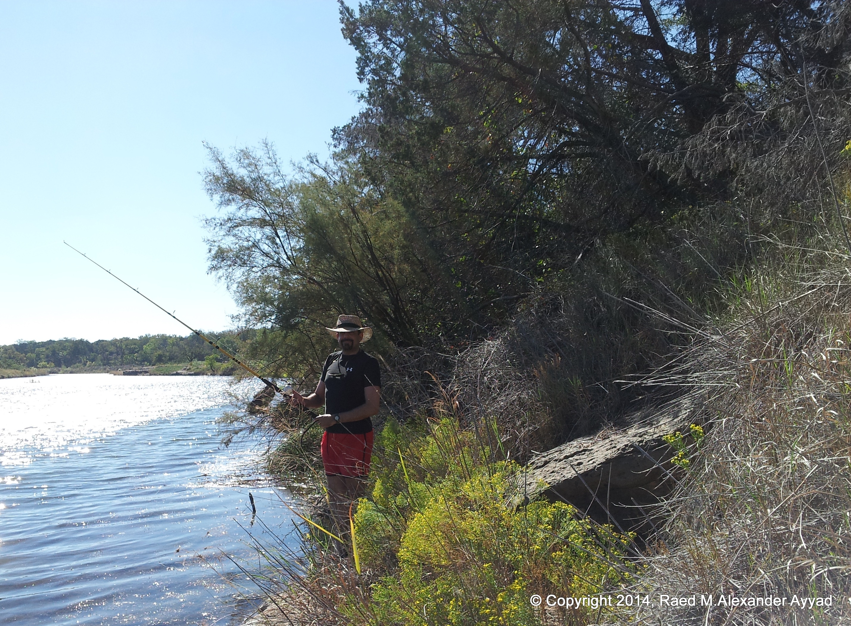
Aside of being a notable cook, Scallywag, is an expert fisherman! ... tackle, archery, air rifle, speargun, etc. ... he does it all!
A bit of fishing around noon time... did not catch any fish =(
If you plan to fly-into the Possum Kingdom Airport (F35), then you can learn
more about it by clicking on the sectional
image above at the beginning of this commentary. I will be
posting more videos of this canoeing trip, and of the river, very soon!
I have to go
for now, so, as always, I wish you all safe soaring
and exploring!
Kayaking, fishing, eating, resting and
spending a good time with country folks!
(July-August, 2014)
A Morning
on the Banks of a Texas River
August 3, 2014
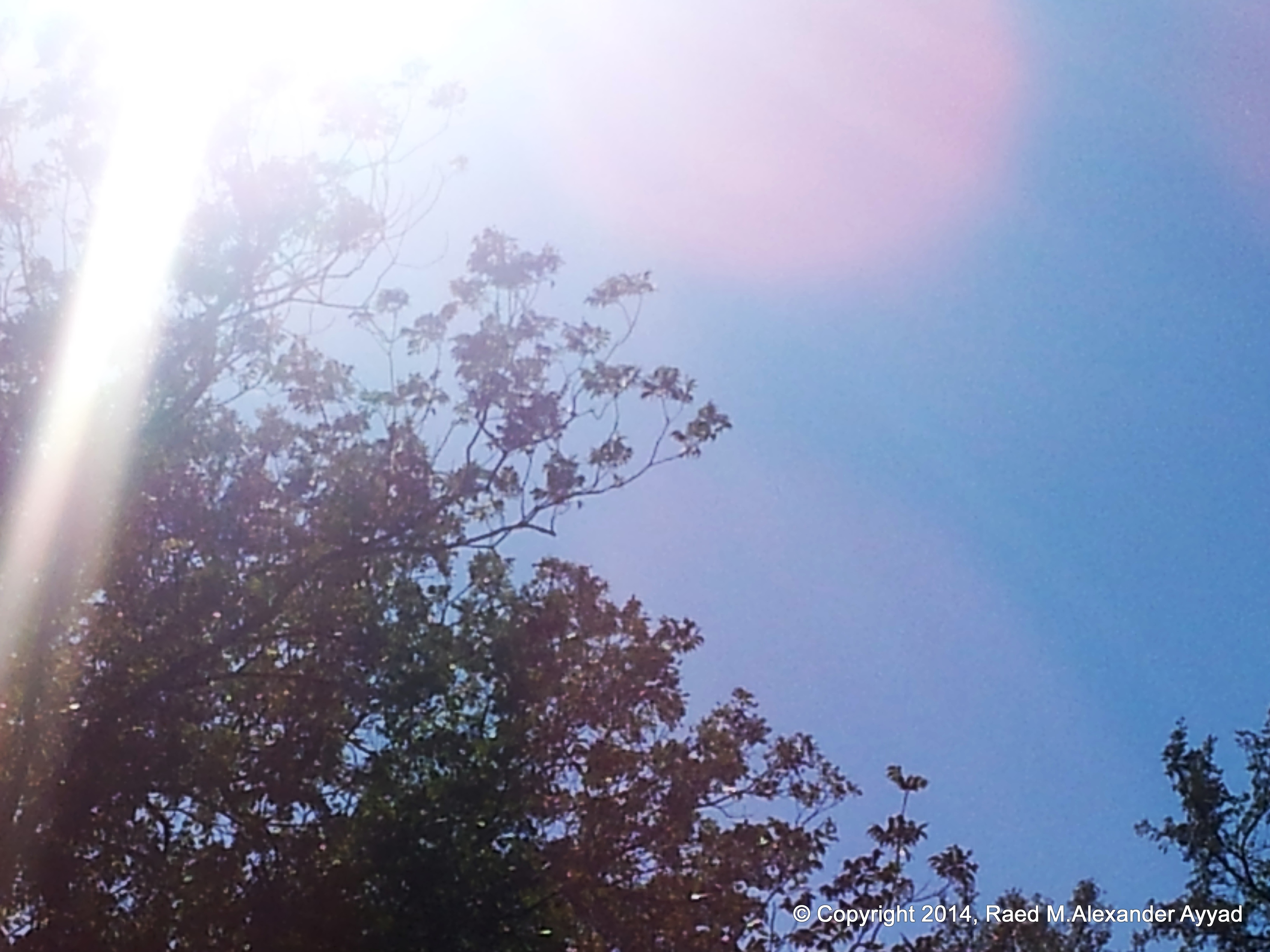
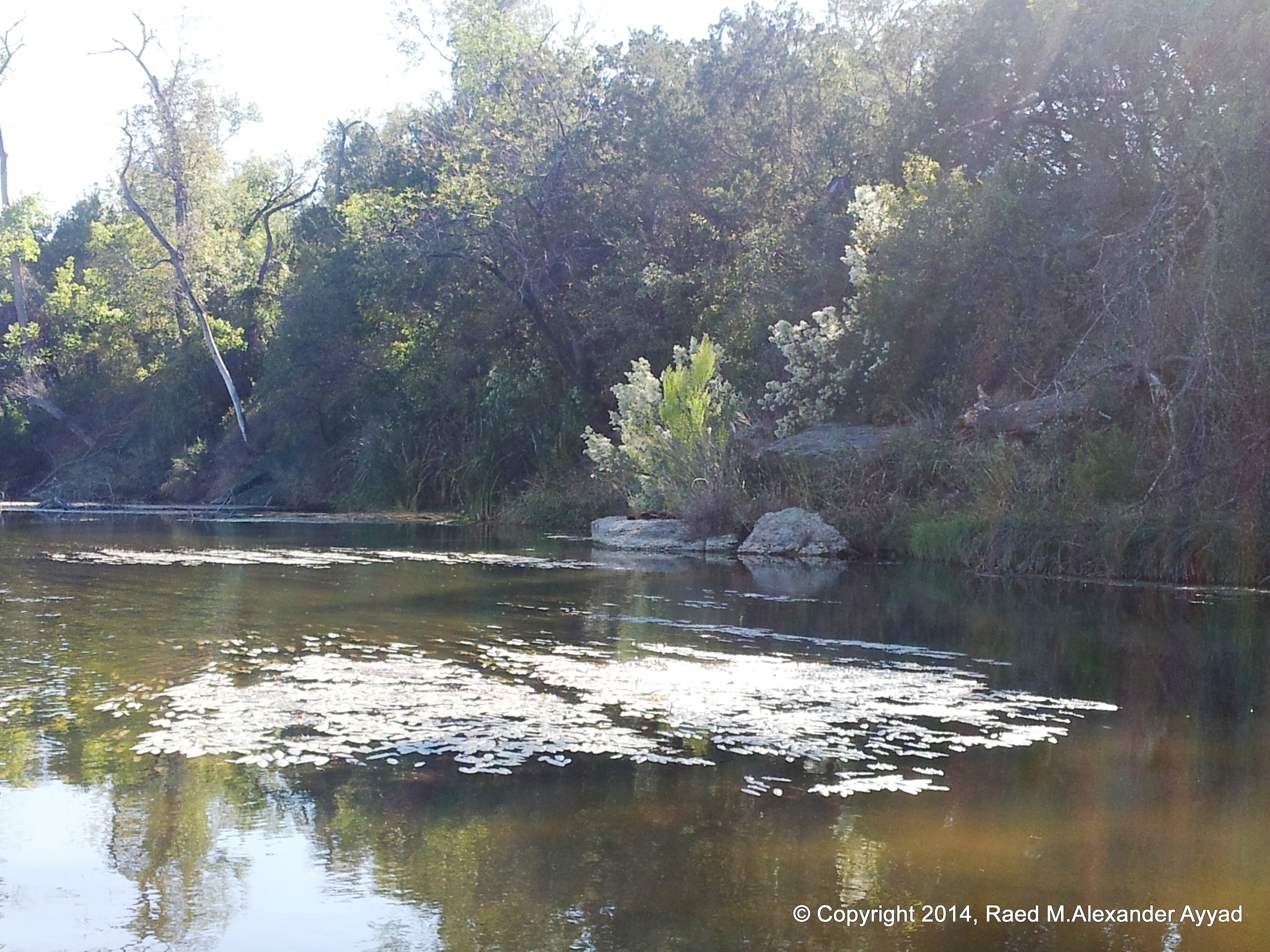
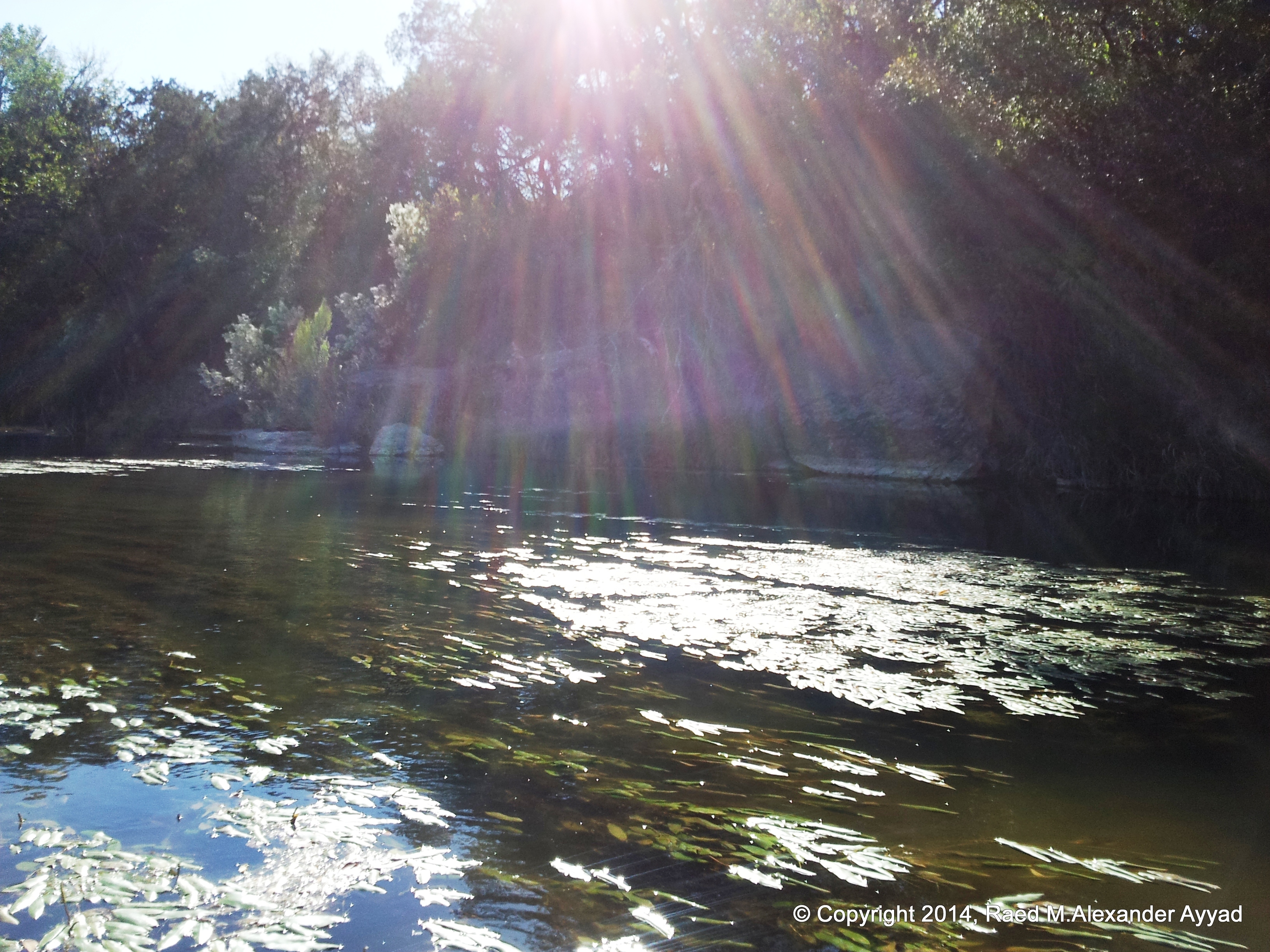
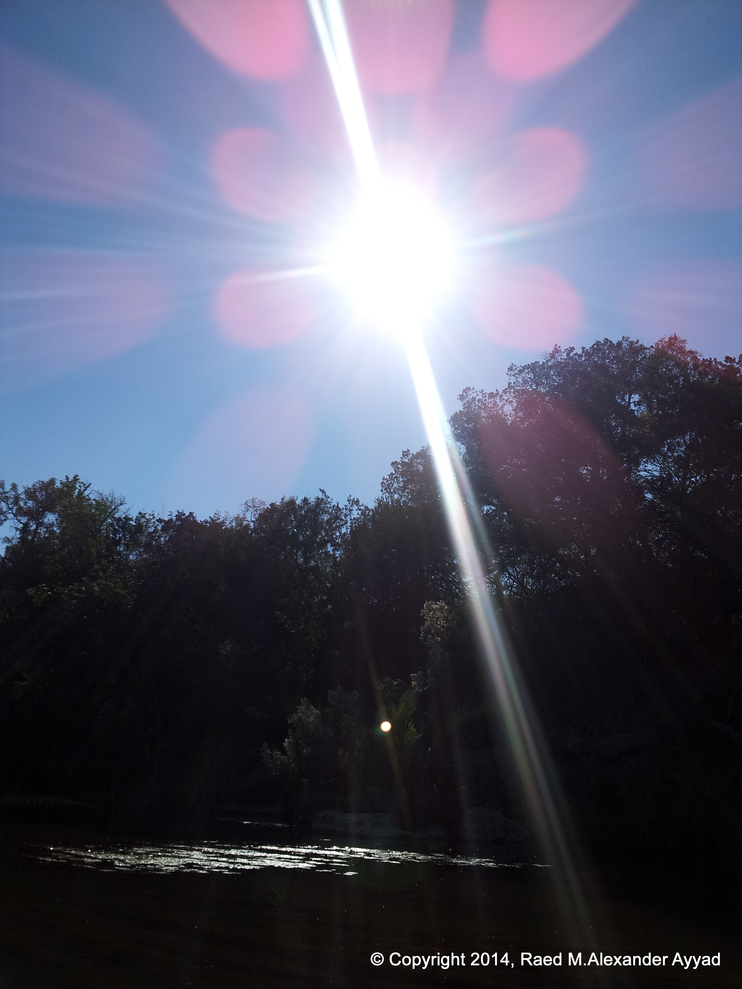
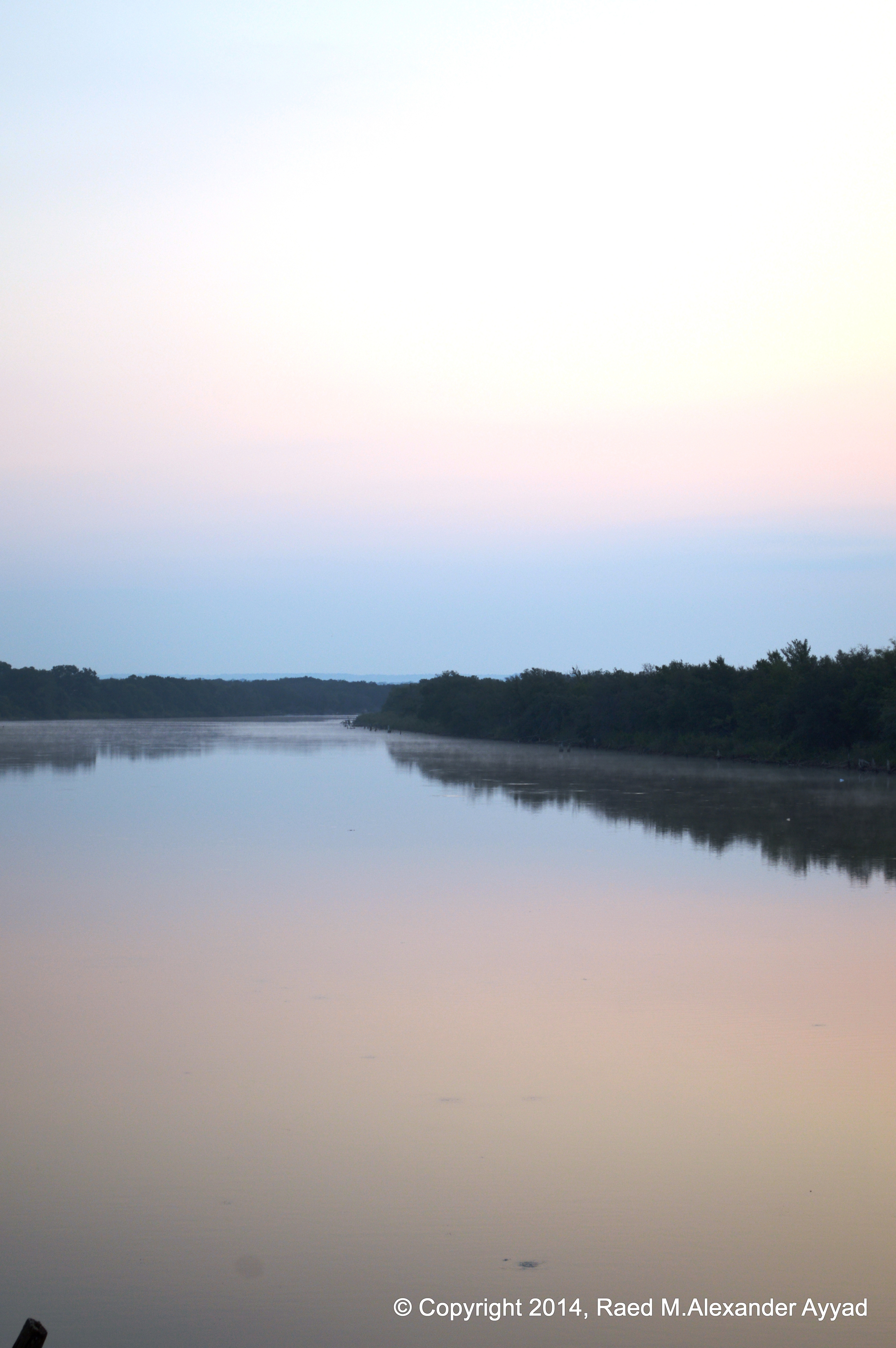
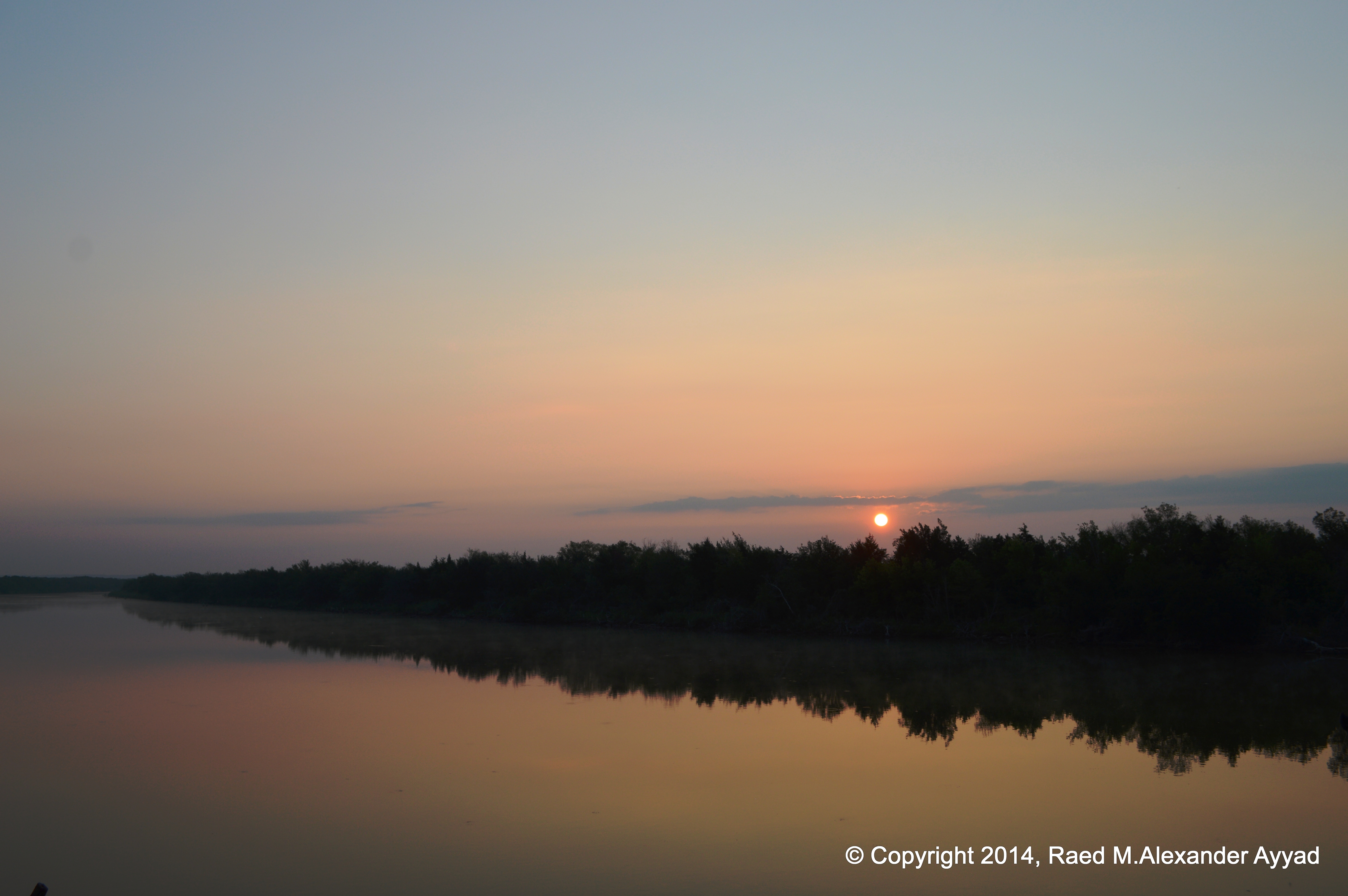
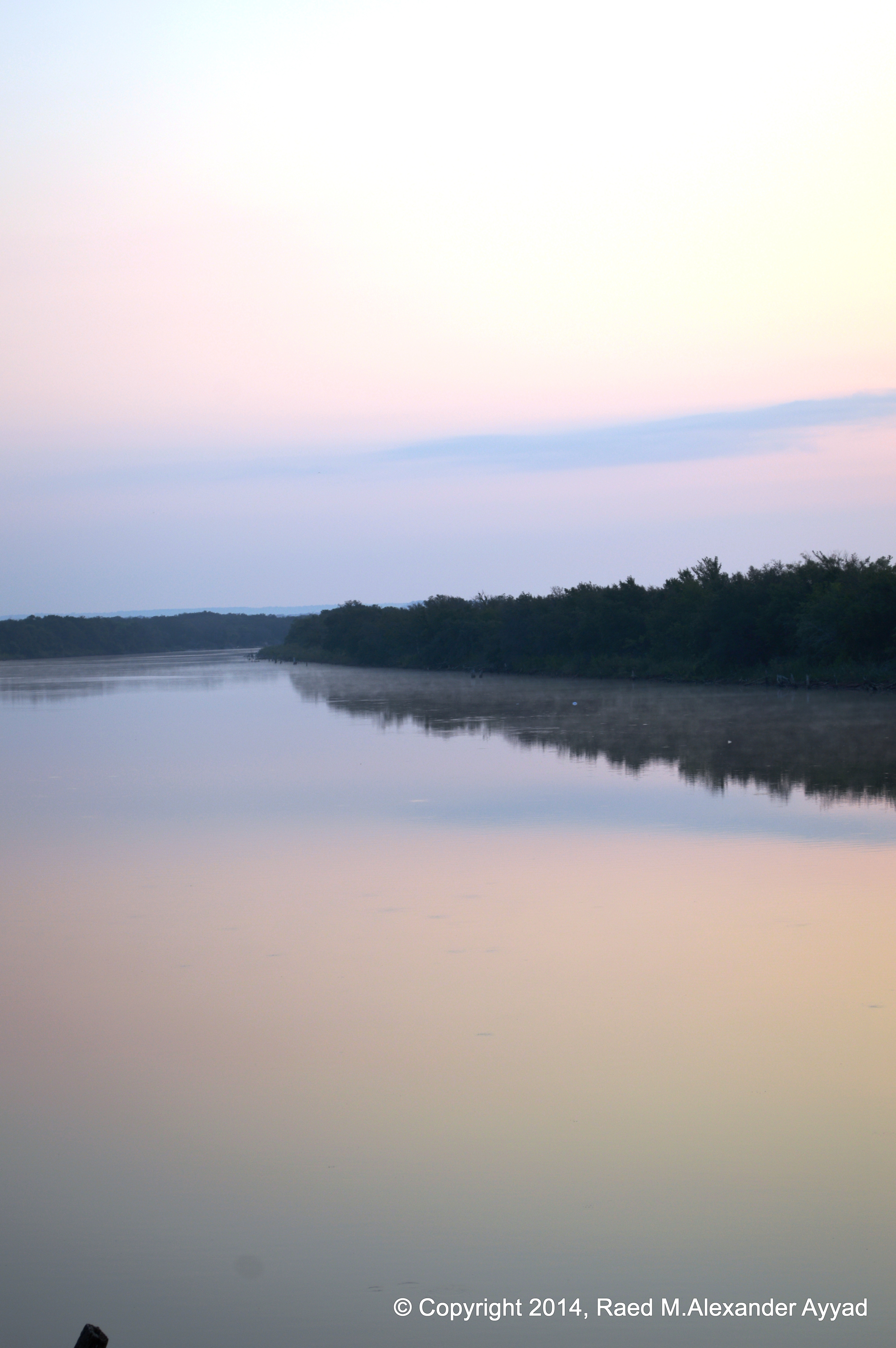
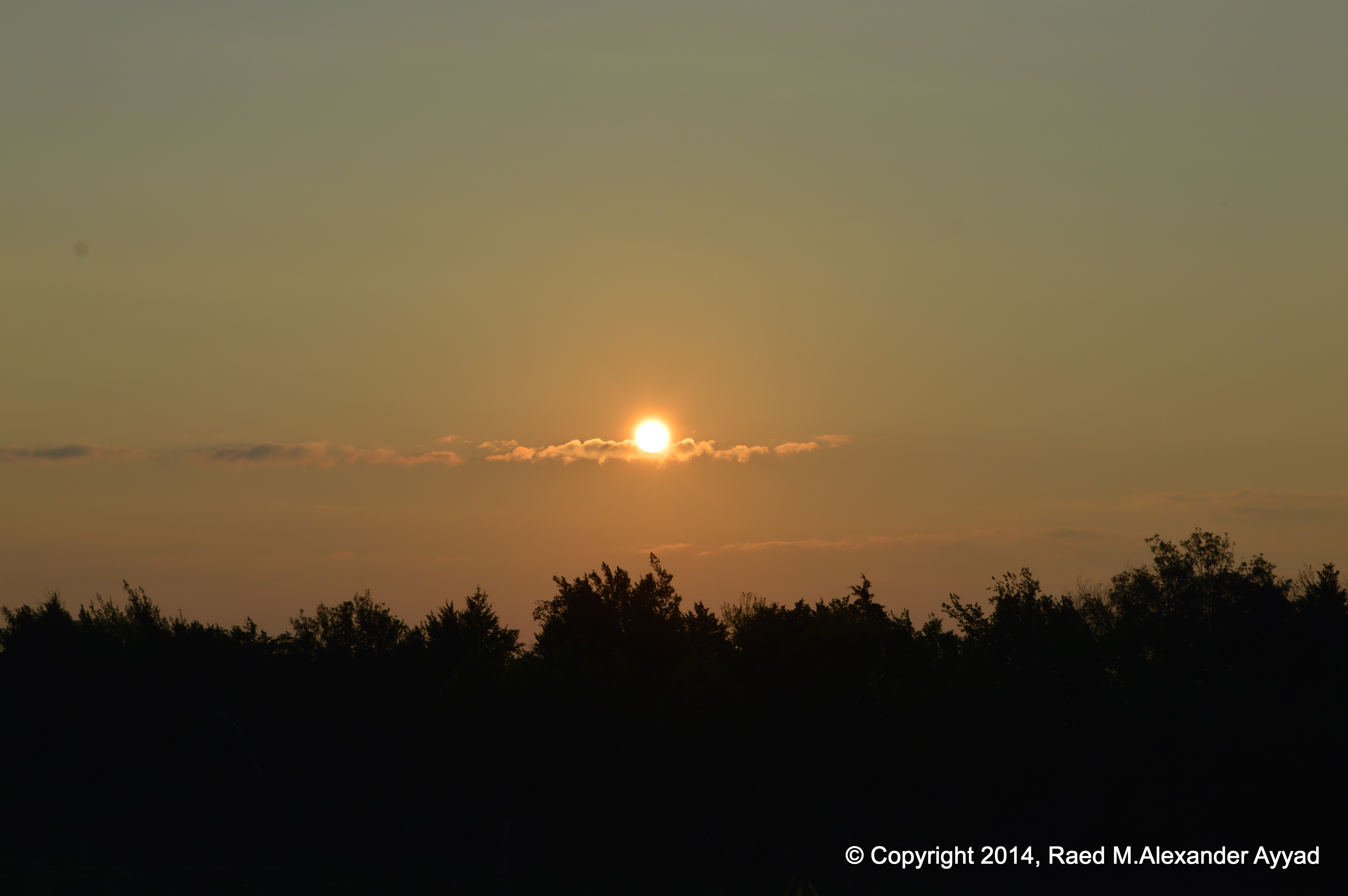
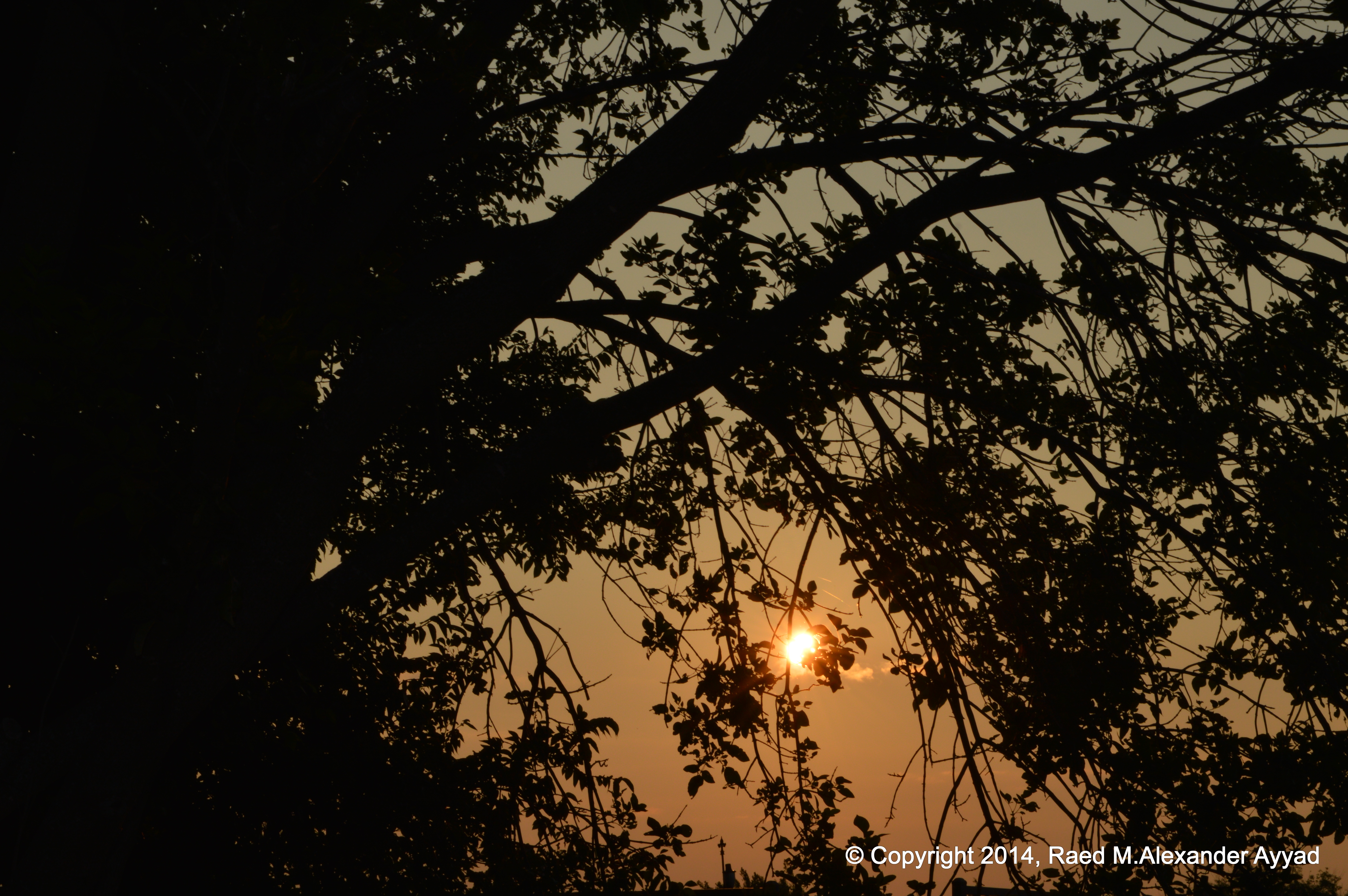
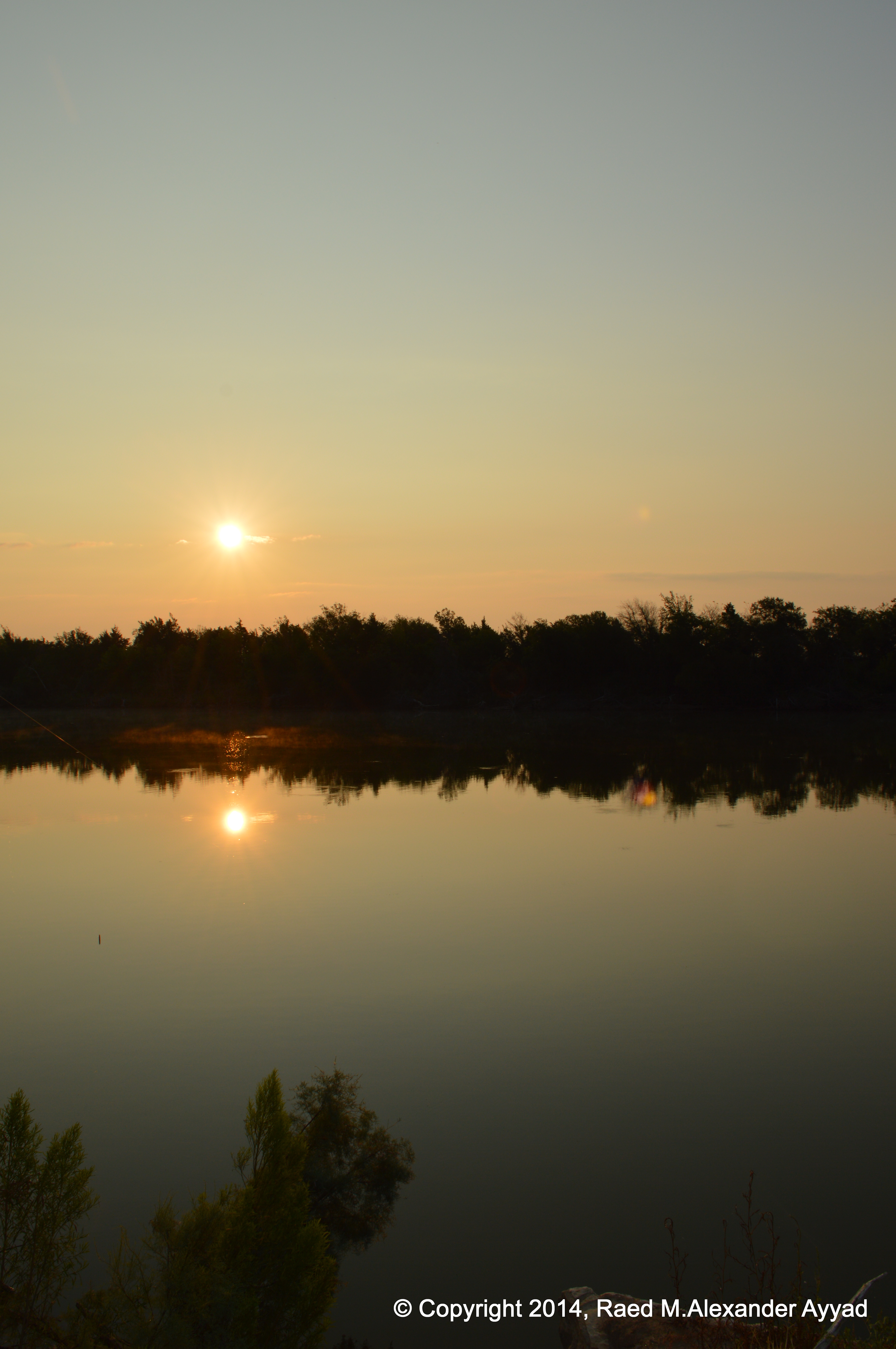
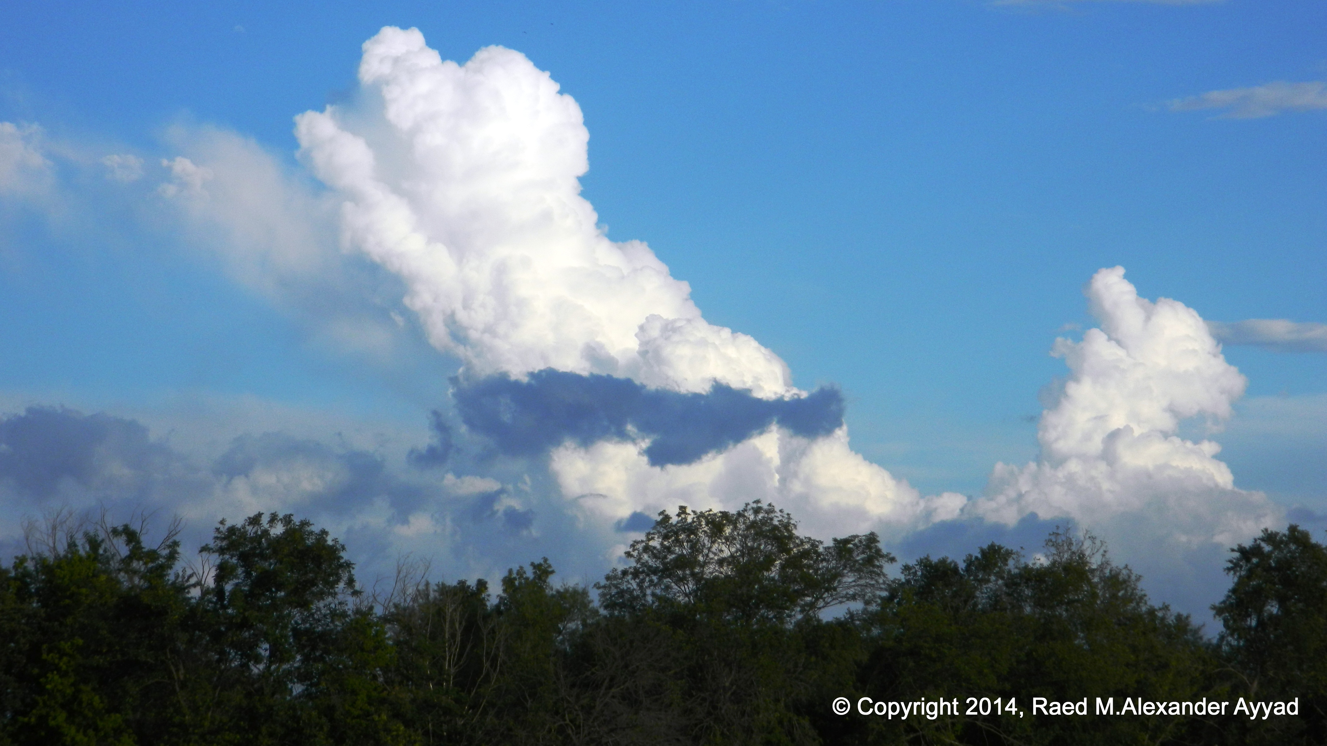
I stare at the sun as it rises. I literally can feel its rays tracing my
skin as if it were the warm gentle touch of a caressing woman draped in silk
charmeuse. I focus my camera lens at the source, and, save. The silhouette
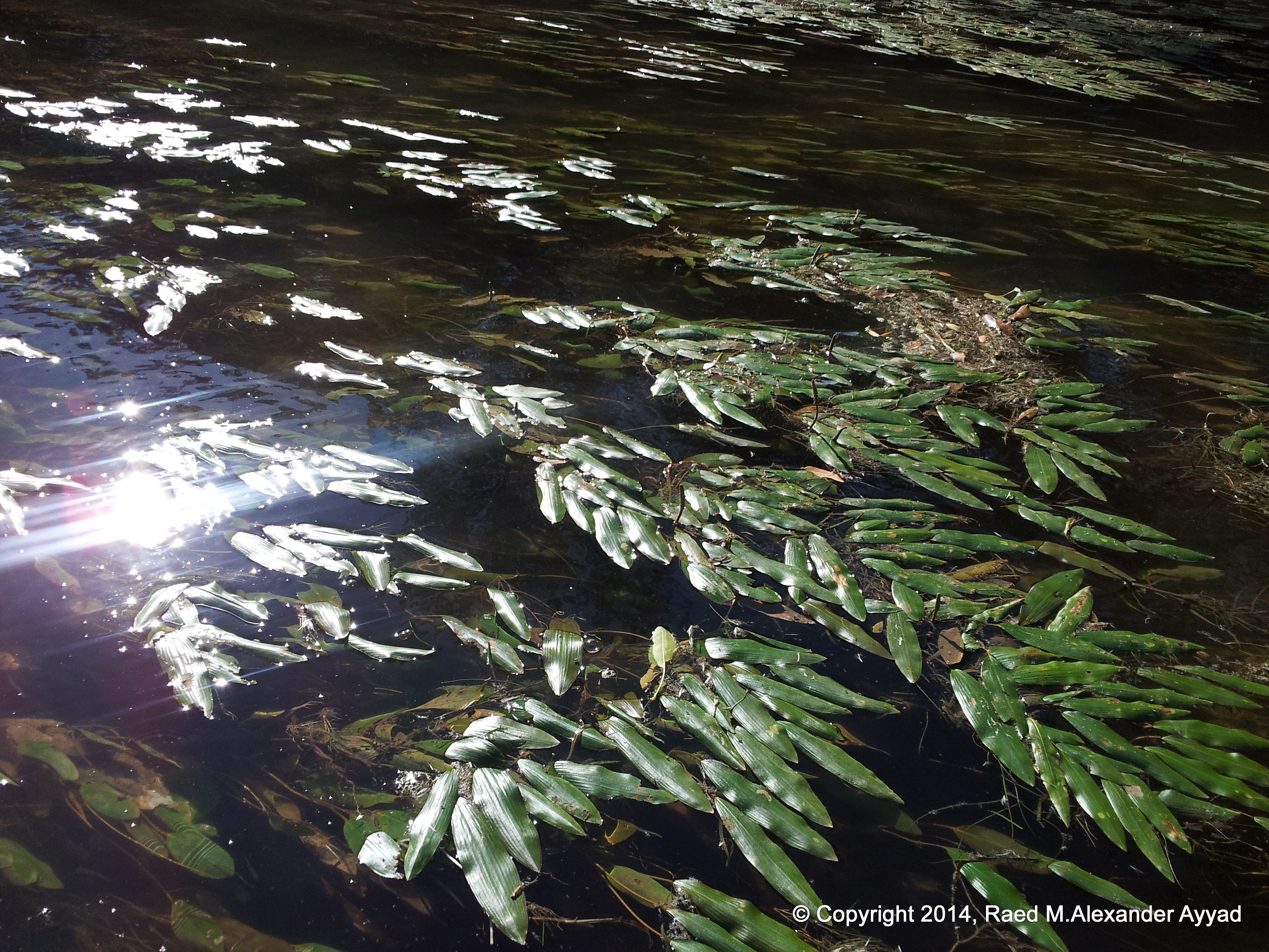
of the trees and the ripples on the river?s surface -caused by the leaping
fish and the air bubbles from the turtles- are spellbinding, in an otherwise
appearance that parodies a polished mirror.
Twenty-four hours ago, I was sleeping at home after staying up late reading
in bed. Nothing would have awoken me until I got my eight hours of sleep
first, and that is how it was. The usual routine, after waking-up at home,
was that I would conduct the daily pilgrimage and roam my humble abode,
stretch in front of the balcony, take a lung full of city air into my chest
and then start my jovial productive day? However, often after the passing of
weeks of this routine, my warm home starts to seem dreary for some odd
reason.
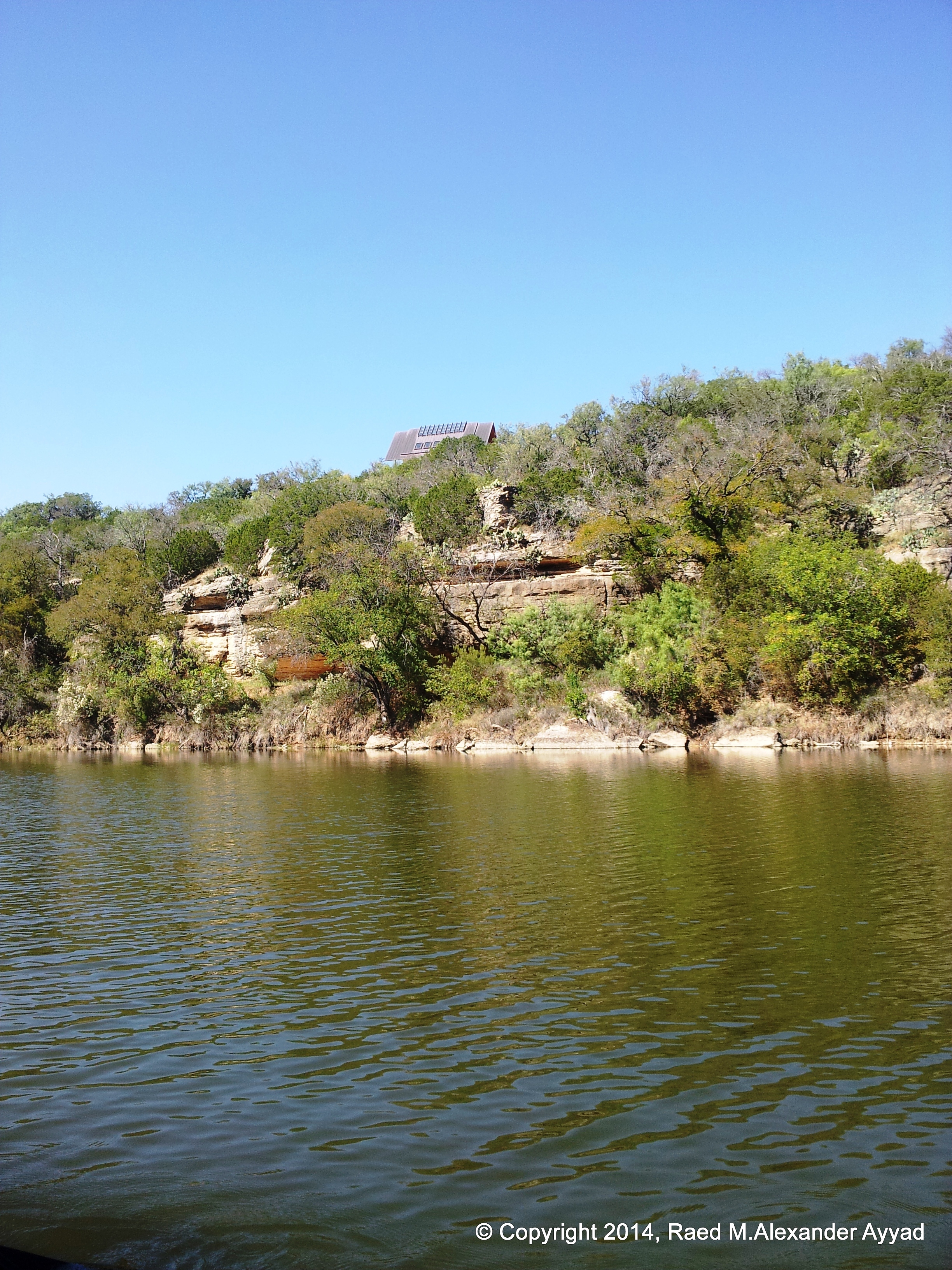
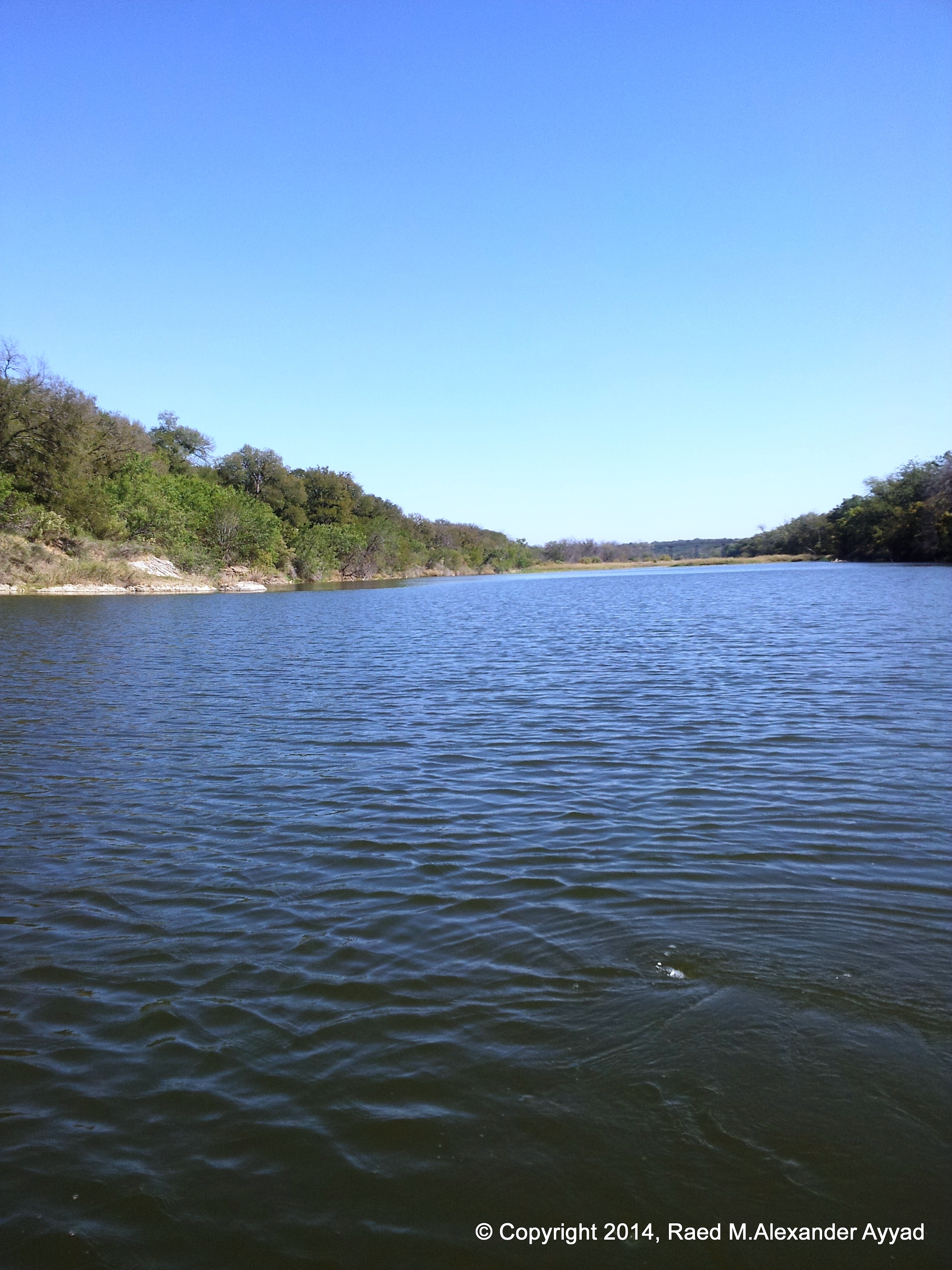
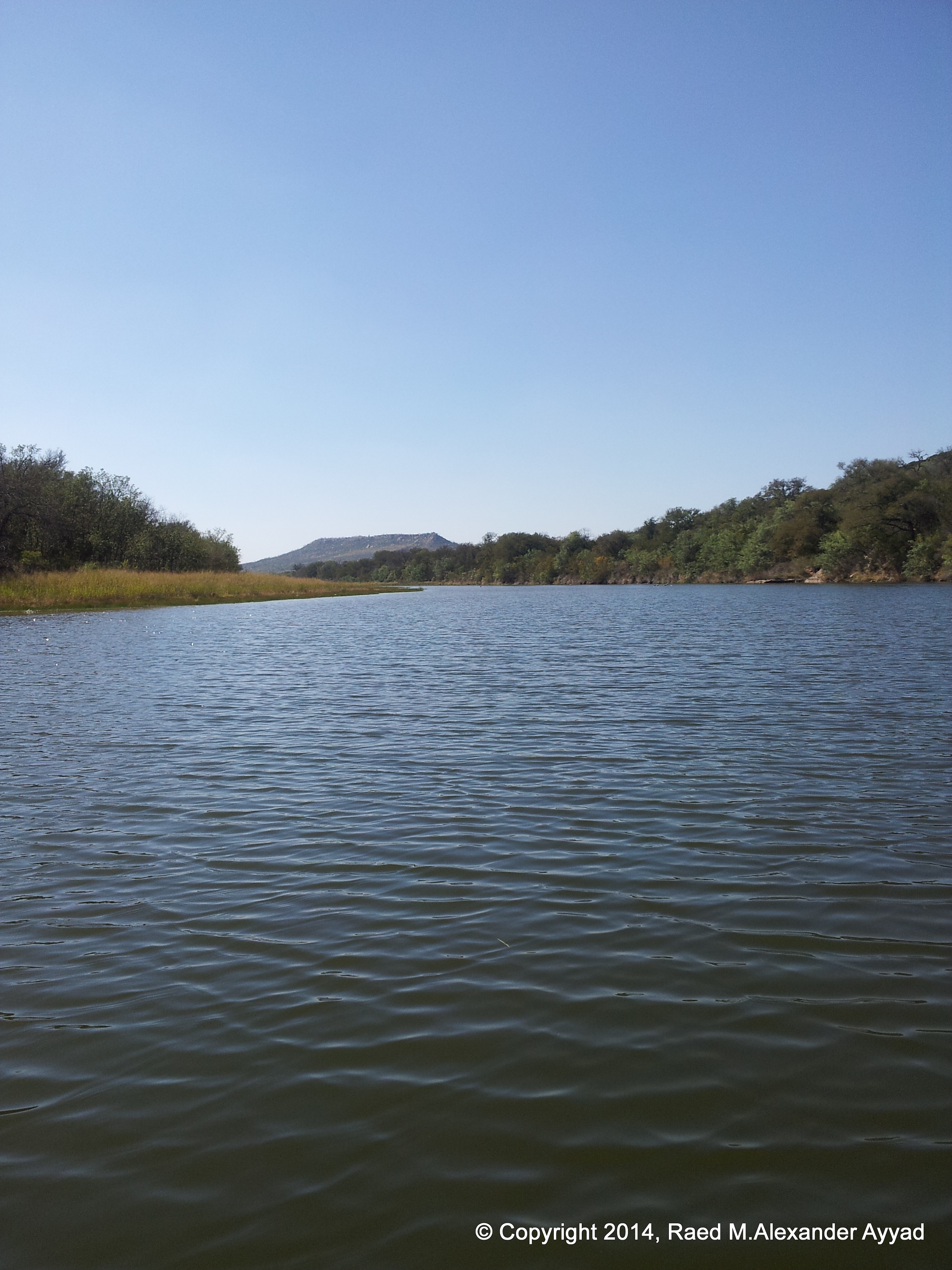
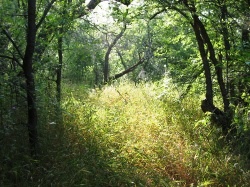
Out here in the country, it is a whole different story ? whole different
dynamics it seems. I was up last night till past midnight chatting with
friends and neighbors while sitting on the banks of the Brazos River. A
friend of mine has a little nice property right on the water, where I have
sought refuge from the city?s excessive concrete and blacktop, metal, glass,
noise, and amplified heat.
Without any mechanical trigger, this morning I found myself up less than
five hours after I faded into dream land, and just as the sun started rising
about the horizon. I got up and walked barefoot to the kitchen and had a
glass of water, then I thought to go back to sleep, but I just could not? as
usual when I am out here, I had a very strange attraction to step outside.
I slid my feet into my slippers as I looked out of the ceiling-to-floor
glass wall window facing the river in the room I slept in, and then I brewed
a cup of hot coffee, donned on my straw hat, grabbed my Nikon HDSLR camera
and stepped out.
The moment I stepped onto the patio, the unseasonably cool steady fresh air
hit my body as if I took a dive into the water? it was invigorating! I
suddenly felt charged and truly alive; simultaneously, I stared at the
river, the trees and the sky above us all? all were so picturesque?
tranquility in one of its finest and most beautiful forms.
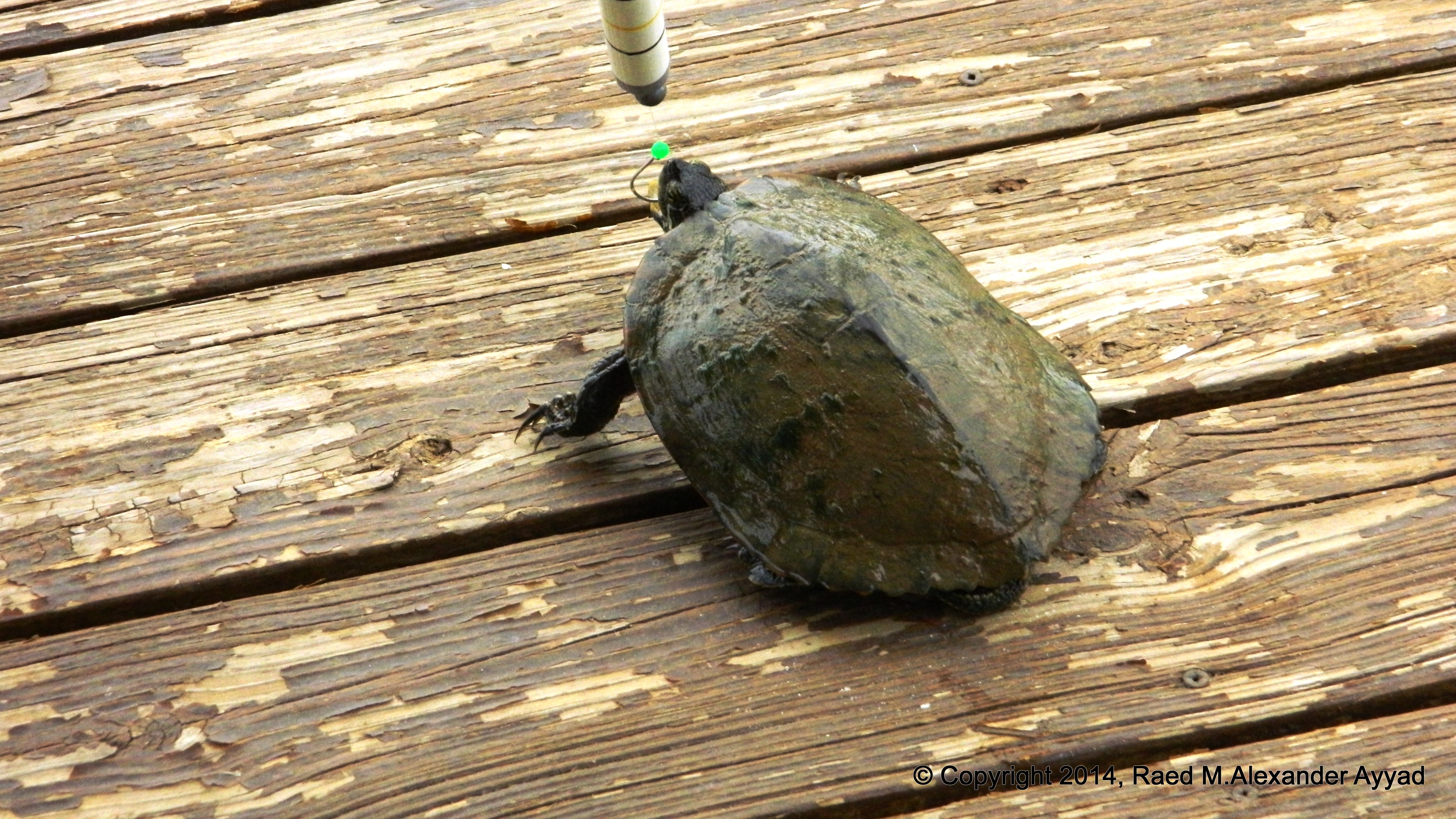
Arriving at the dock thirty paces away, I recast the fishing rig I had in
the water since last night, where fortunately the turtles did not nab my
bait as they so expertly do most often, making me feel sometimes as if I am
running an ?all you can eat? free buffet! Obviously, I would not classify
myself as an expert fisherman? more like an apprentice! I just reentered
into the world of angling newly after attaining my fishing license again
after an absence of many years.
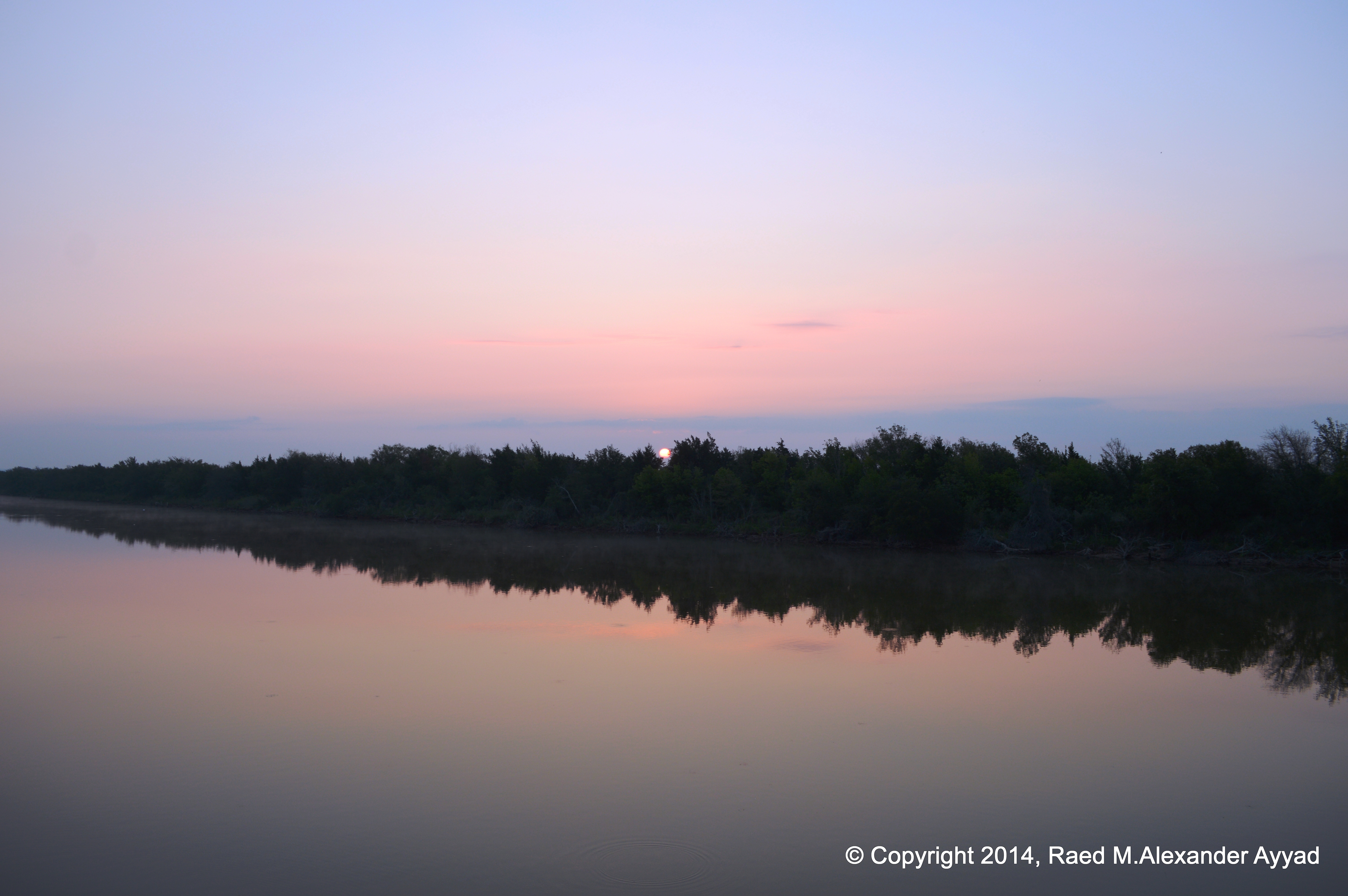
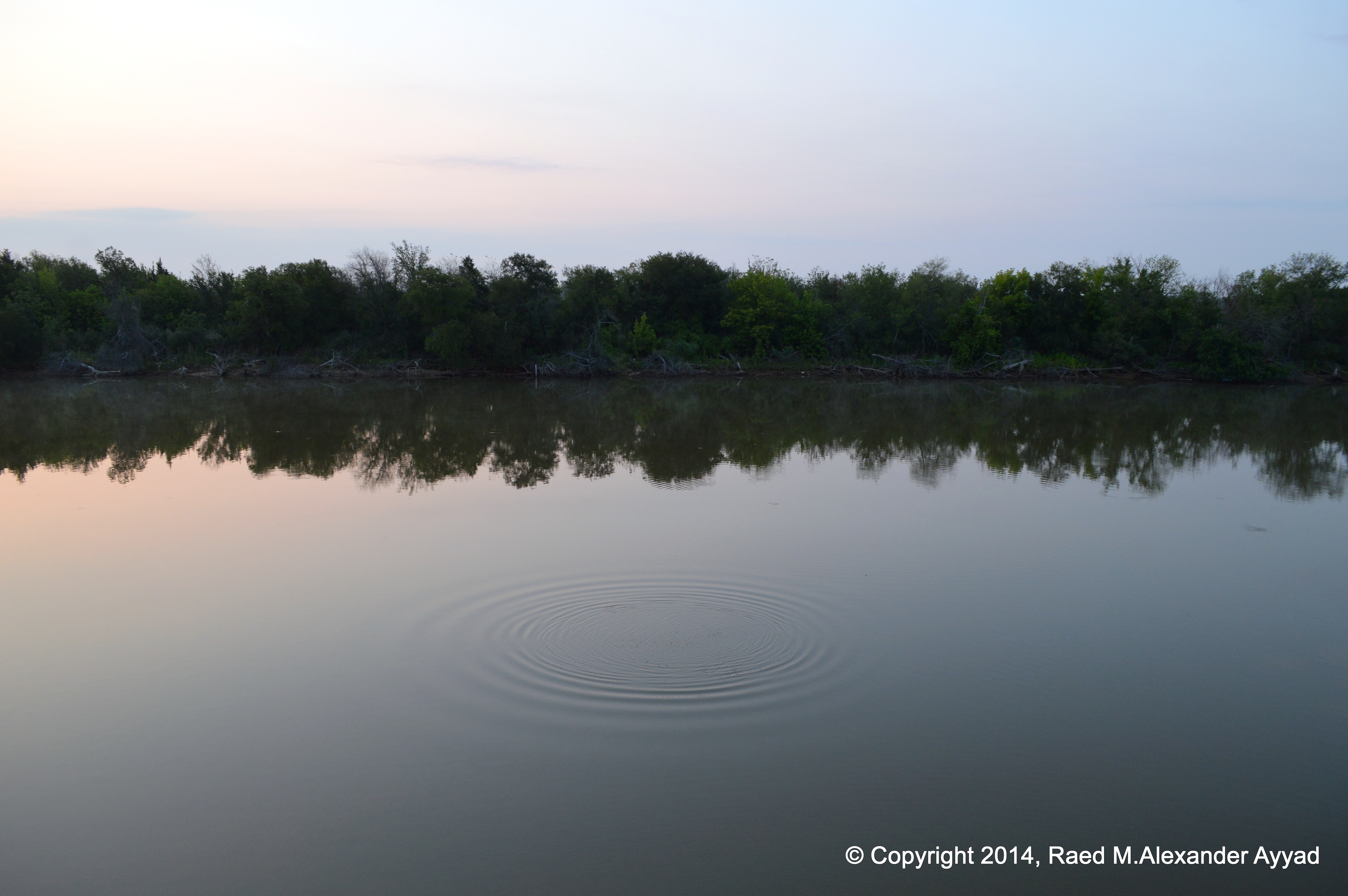
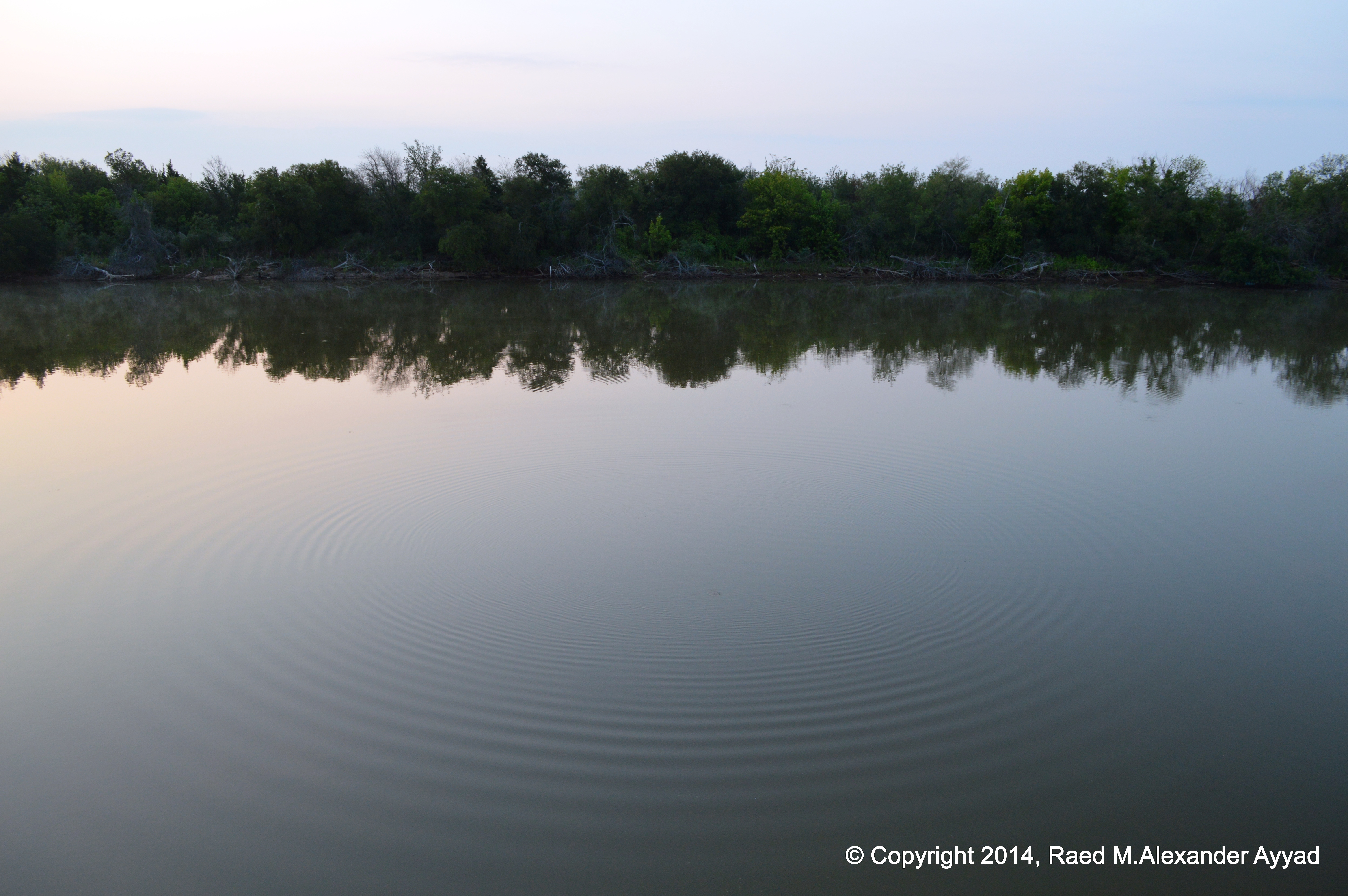
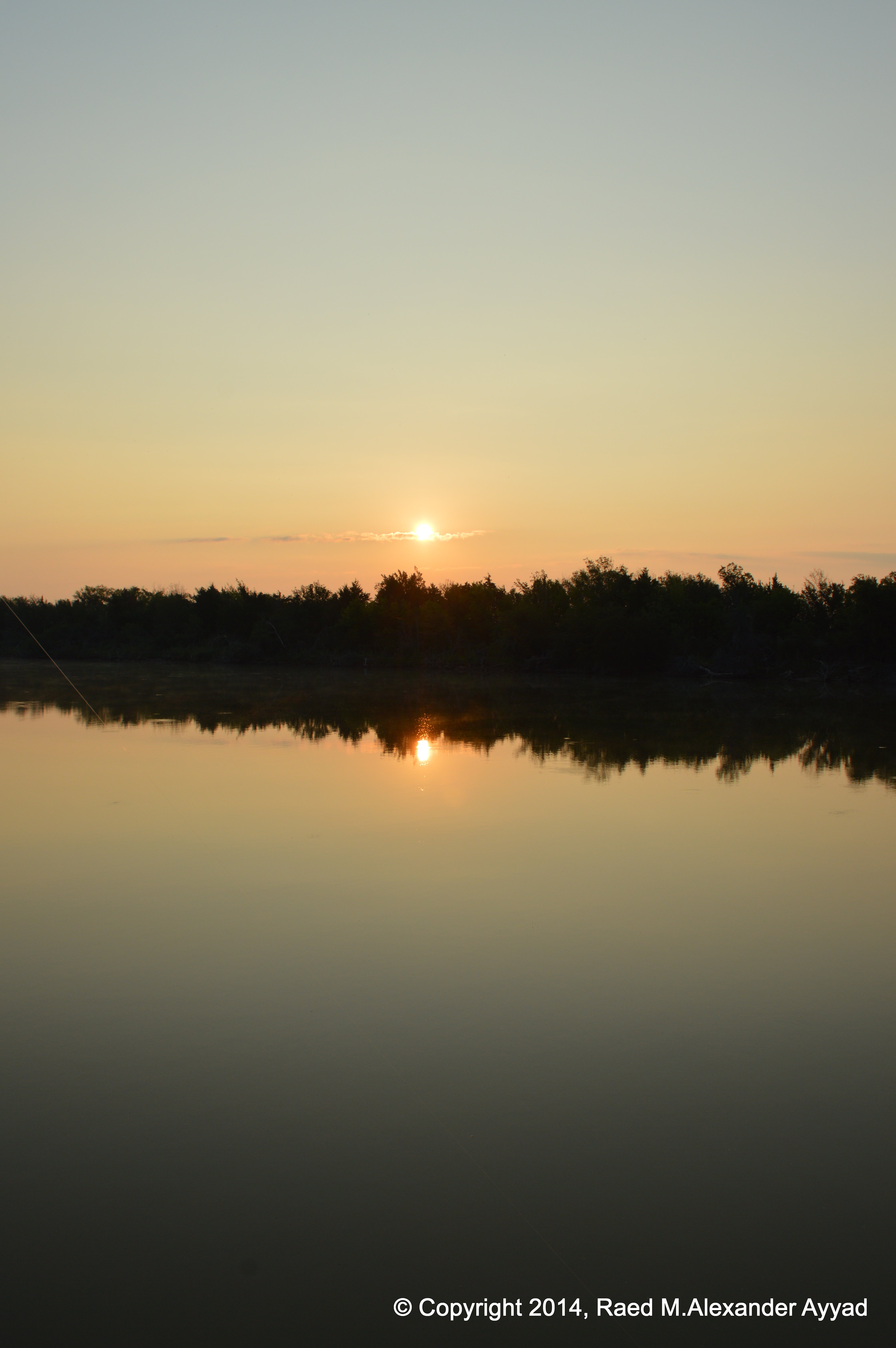
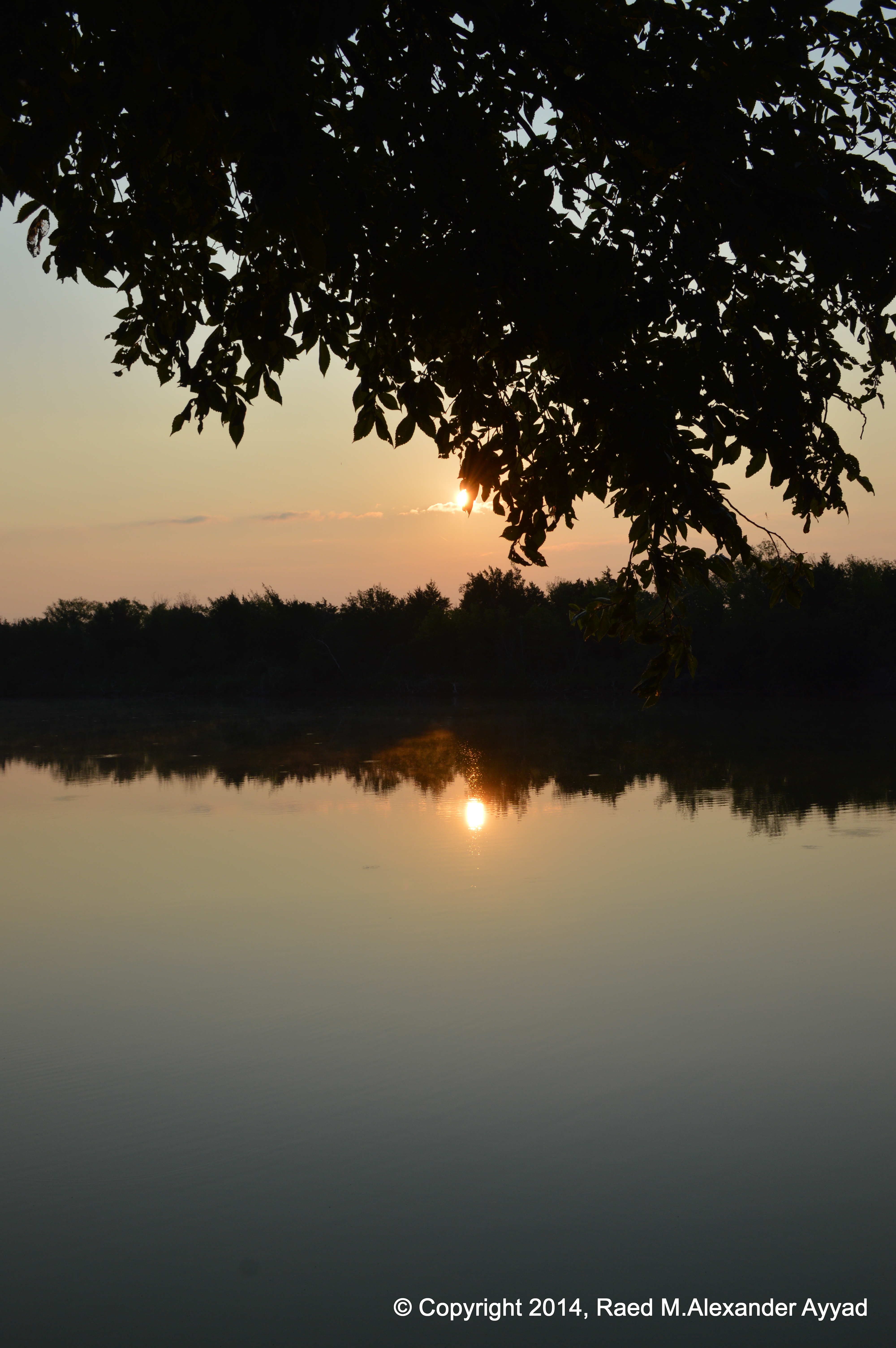
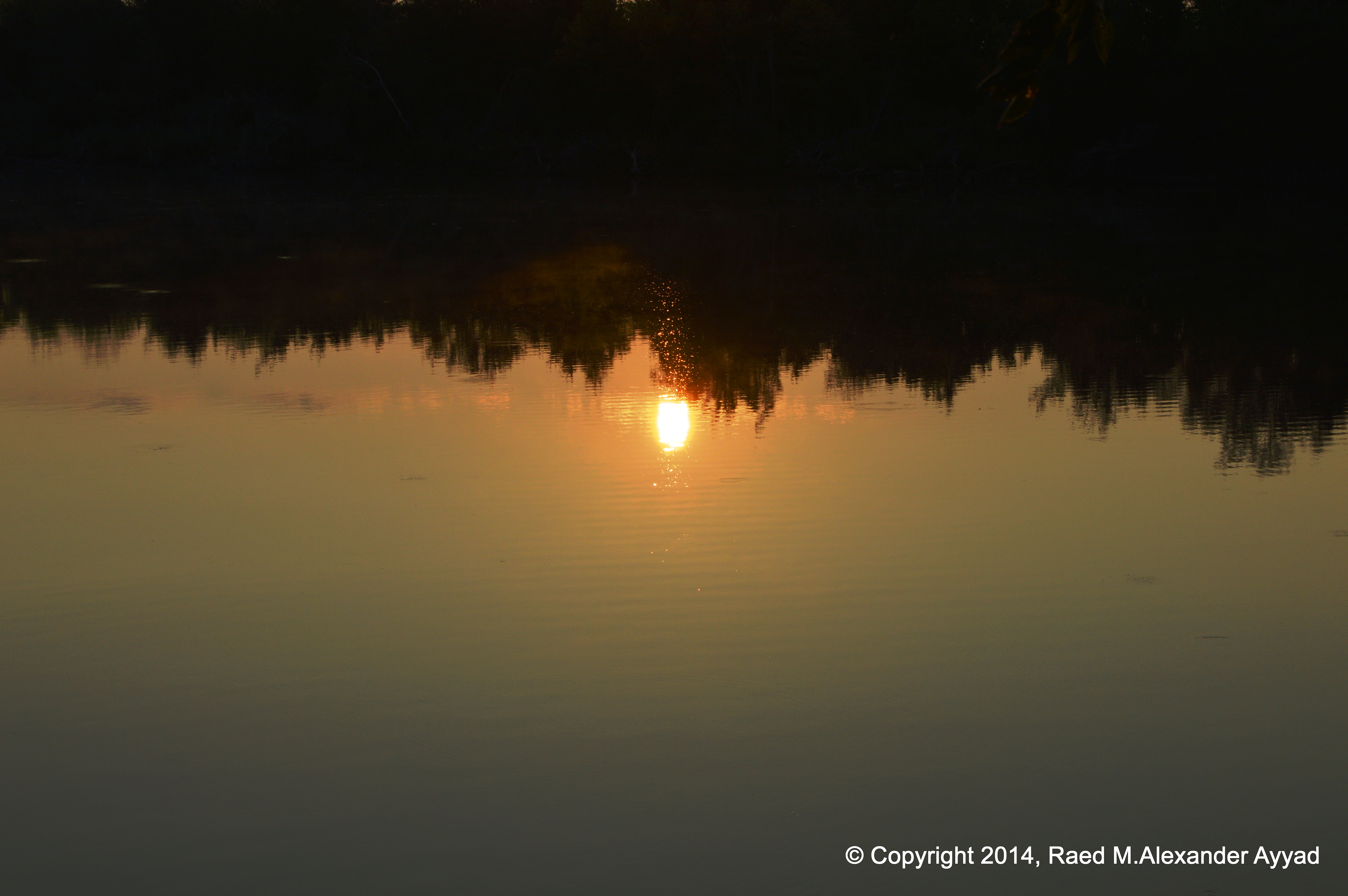
The surface ripples created by the entry of the rig into the water were
hypnotic, and I stared at them for a while until I noticed the hints of the
warm colors of the sun?s rays starting to shimmer on the outgrowing rings of
concentric waves. I raised my head slowly upwards to find myself gazing at
the arc of that yellow star, the sun, peeking behind the trees across the
river. I climbed the stairs to the second level of the dock and turned on
the camera and started saving memory prompters on the device.
The coffee was still steaming in the cup, so, I took a few sips as I sat
down on a chaise and started to absorb the ambiance? it was heavenly. But,
nature had still more and more to offer. As I relocated to another chair
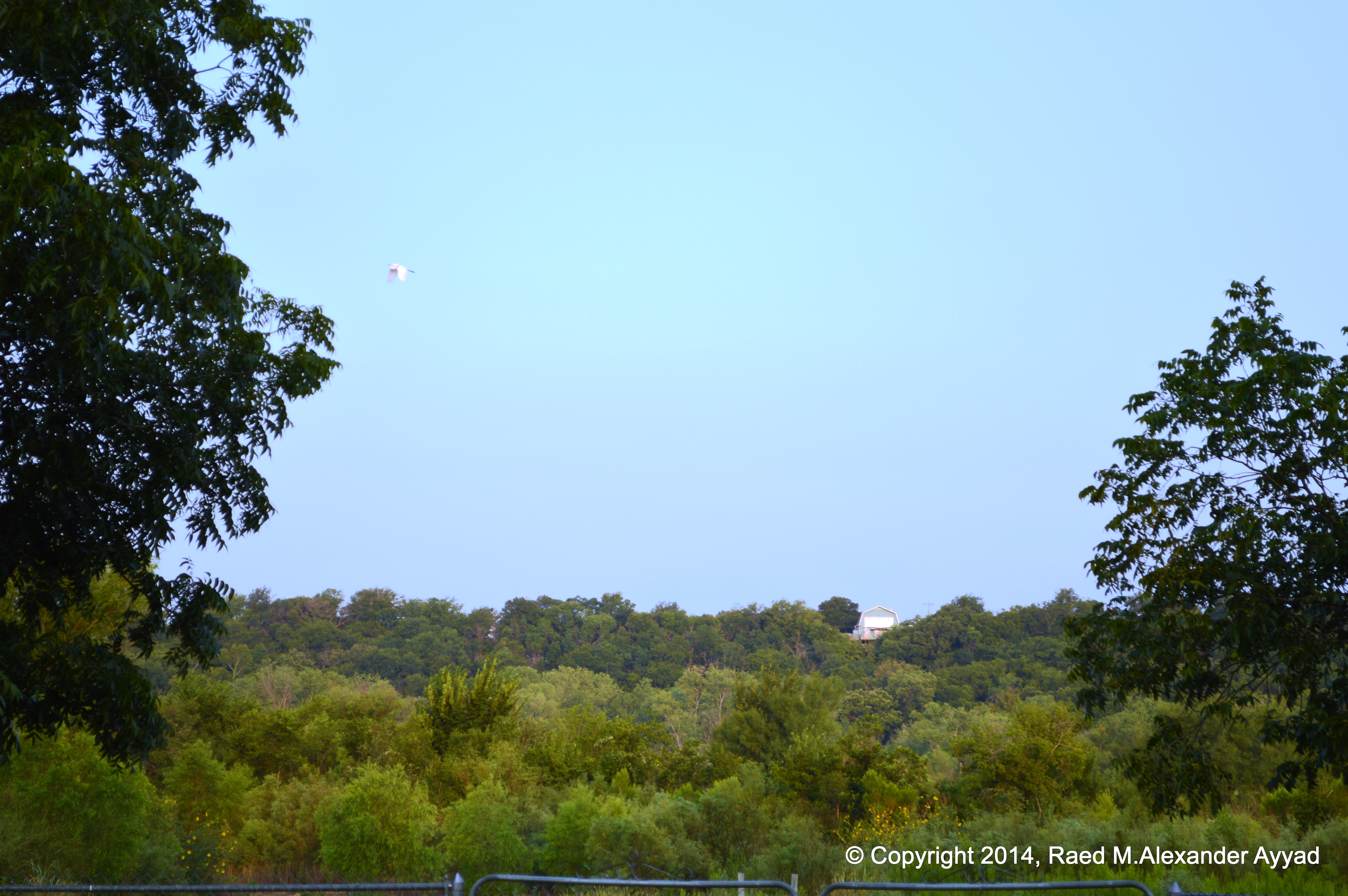
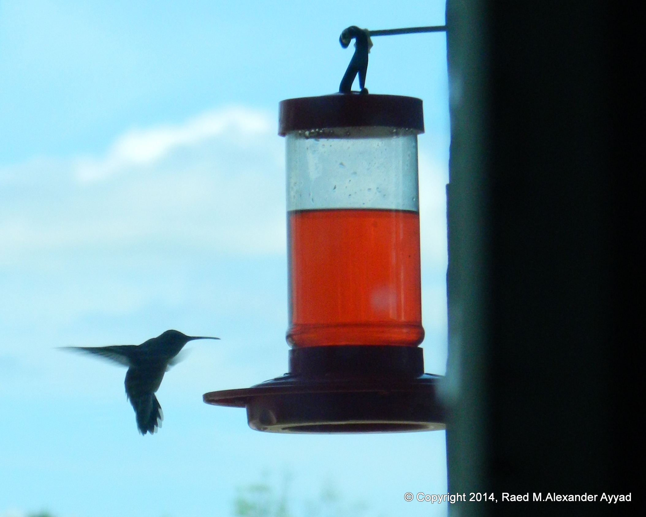
with a better view, right across of me, no more than six feet away, a
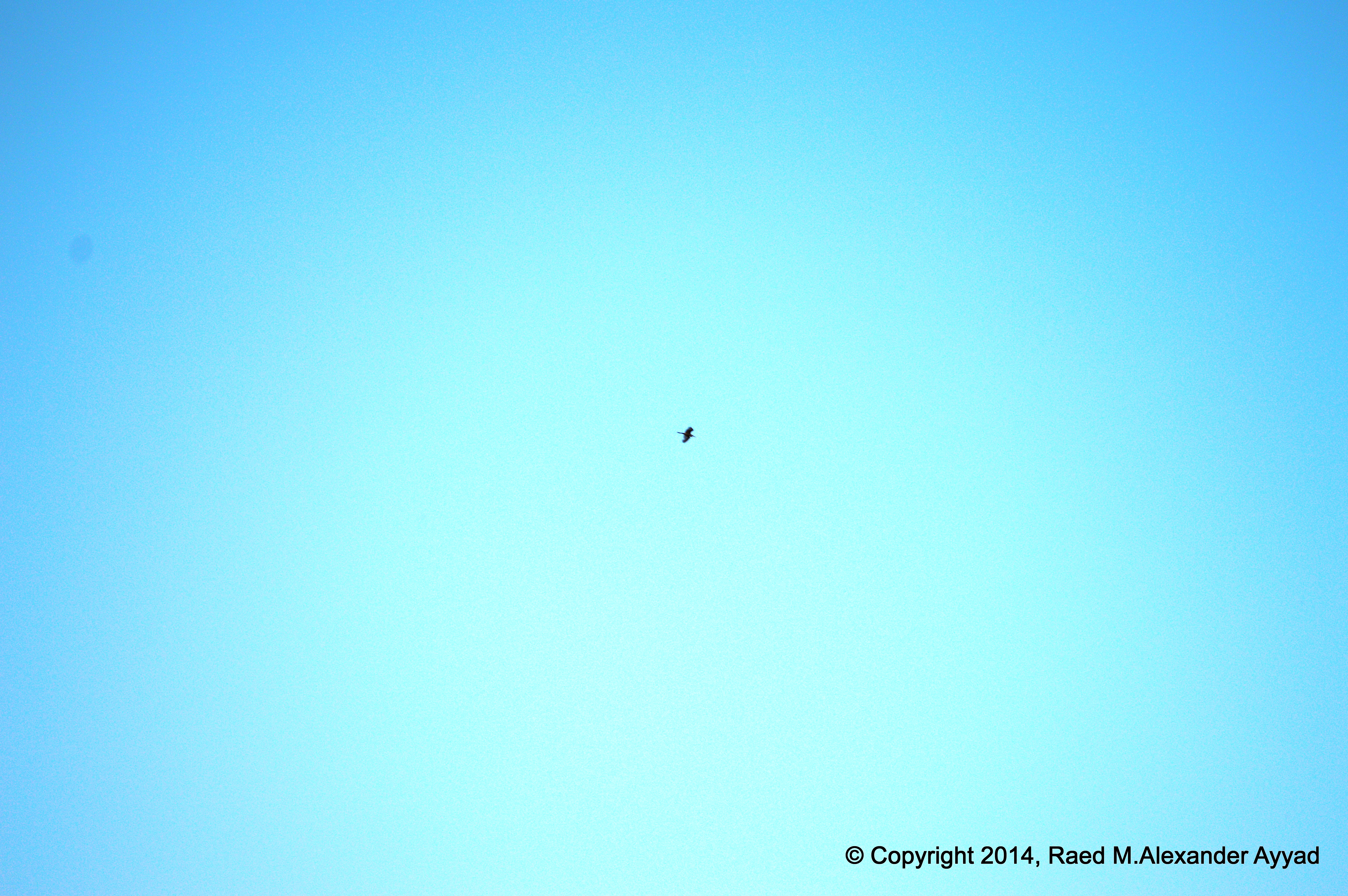
humming bird hovered in front of my face? seconds later, it moved out of my
sight as fast as it came into my visual frame.
My heart started fluttering from excitement as fast as the little bird?s
wings were beating the cool light breeze that started passing around us? I
looked about as if I was expecting to see someone to say: ?did you see
that?!? but, I quickly realized that it was just a special and private
moment between the bird and I.
All this reminded me of a quote from Norman Maclean?s book, A River Runs
Through It and Other Stories, ?Eventually, all things merge into one, and a
river runs through it. The river was cut by the world's great flood and runs
over rocks from the basement of time. On some of the rocks are timeless
raindrops. Under the rocks are the words, and some of the words are theirs.
I am haunted by waters.?
For a week, I have been working on attaining much needed
rest; I was reminded, yet again, that it is never about the number of hours
of sleep we acquire, it is in the quality of it. At home there are many
distractions and routines that sometimes just take the pleasure inherit in
life out of it? perhaps it is the artificiality of it all on today?s ?modern
life?? out here, in the midst of relatively undisturbed nature, it all comes
back together, and so do I.
I think that it is a needed experience for any person who chooses to remain
healthy, not only physically, but mentally too. Travelling about an hour by
car from my home landed me universes away from where I was. Get out there;
get out of the caves you have imprisoned yourself in? those cube shaped
caves. Allow yourself to be reborn? get back into the open wilderness, the
open sky? welcoming and generous nature.
There are so many places to experience such a gift around us here in Texas
(as well as all other places). You may not have access to a private lake -or
river- property, or generous friends who do, but you still can find similar
places in nature you can call your own, even if temporarily. Visit the
website of the Texas Parks and Wildlife, and locate the one sanctuary that
will serve your needs out of over a hundred great places; rent a cabin or
take a tent, pack smart, be spontaneous if you like, go with fun companions,
and prepare to be grounded and recharged to tackle your daily routines
again!
For pilots who want to fly into the area, you have two
choices (the areas I hang around): the first is to fly into the city of
Granbury (GDJ), and the second is to fly into city Weatherford (WEA), Peach
Capital of Texas! It many be worth it to know that Granbury Regional Airport
does provide courtesy cars on first come first serve bases, which can
make a big difference to you.
The airport management at Granbury tout their reputation for
being the friendliest airport around, and I may agree at most levels, but
then again, this is Texas, and most people around here are very friendly
-but, I'll let you be the judge!
In regards to Granbury, and not to get into the politics of
things, but it may be worth it to share the following -since you may notice
it anyway: Unfortunately, about Lake Granbury, from what many residents of
the city have told me during my visits, it seems that the Brazos River
Authority keep selling excessive amounts of the lake's waters, to businesses, keeping the level lower
than what the citizens expect, creating a drought-ridden looking
landscape around the lake, and in turn, also leading to the devaluation to many properties in the
area, to say the least, which has been a concern and a point of contention
with some lake-property owners. I haven't verified these claims.
Another beautiful area of our
state that I encourage you to explore! Perhaps we will cross paths around
there sometime! If we do, I will treat you to breakfast at Mary's!
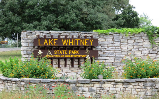
The 955-acre Lake Whitney State Park was acquired in 1954 by
a Department of the Army lease and opened in May 1965. The park is along the
east shore of Lake Whitney, west of Hillsboro in Hill County.
The park is located on Lake Whitney near ruins of Towash, an early Texas
settlement inundated by Lake Whitney. Towash Village was named for the chief
of the Hainai Indians, who moved into the area in 1835.
The park is located in the Grand Prairie subregion of the
Blackland Prairie natural region. It has open disturbed tallgrass prairie
remnants with scattered groves of live oak and a small area of post
oak/blackjack oak woodland. In the spring, bluebonnets, Indian paintbrushes
and over 40 species of wildflowers cover the roadside and landscape. Common
animals include white-tailed deer, raccoons and squirrels, and foxes,
coyotes and bobcats are occasionally spotted; 194 species of birds have been
sighted, including wild turkeys and bald eagles.
Activities include camping, hiking, mountain biking, picnicking, boating,
fishing, swimming (buoyed area - no lifeguard on duty), scuba diving, water
skiing, nature study and excellent birding.
An annual youth fishing tournament is held on the first Saturday in June,
and "aircraft fly-ins" are held at various times.
Those who made it before me!
The entrance into the park.
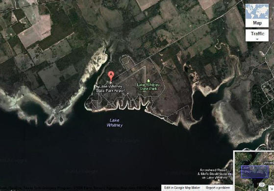
Satellite image of the park and its location on the lake. It also shows the
airport at the park.
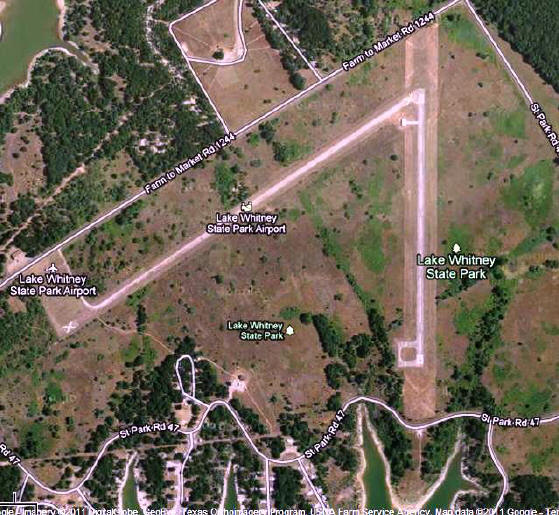
The airport at the park
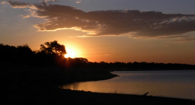
Sunset at Lake Whitney
Soon, much more to come... Videos and photos!
Lake Whitney State Park Airport
Airport Use:
Open to the public
Activation Date:
November 1955
Status:
Operational
Control Tower:
No
Seg-Circle:
Yes
SEGMENTED CIRCLE NSTD, ONLY HALF CIRCLE PRESENT DUE TO PROXIMITY
OF RUNWAY.
Beacon:
None
Wind Indicator:
Yes, Not Lighted
A.R.T.C.C.:
FORT WORTH
F.S.S.:
FORT WORTH
NOTAMs Facility:
FTW (NOTAM-D available)
Sectional Chart:
SAN ANTONIO
Airspace Analysis:
NO OBJECTION
Attendance:
Unattended
Airport Communications
CTAF:
122.900
ATIS at ACT (20.0 S):
123.85
ASOS at ACT (20.0 S):
254-754-6148
AWOS-3 at CNW (22.8 SE):
134.225 254-867-3880
Nearby Navigation Aids
ID
Name
Freq
Radial / Range
ACT
WACO
115.30
333?
16.5
JEN
GLEN ROSE
115.00
112?
29.7
TPL
TEMPLE
110.40
355?
43.0
GNL
GROESBECK
108.80
291?
46.5
ID
Name
Freq
Bearing / Range
CN
LEROI
378
119?
18.3
ROB
ROBINSON
400
142?
29.4
MNZ
HAMILTON
251
238?
44.0
LXY
MEXIA
329
104?
46.8
Runway 17/35
Dimensions:
2000 x 50 feet
Surface:
Asphalt in Fair Condition
Weight Limits:
S-10
Runway 17
Runway 35
Gradient:
0.1
0.1
Traffic Pattern:
Left
Left
Markings:
Basic in good condition.
Basic in good condition.
Obstacles:
30 ft Tree 640 ft from runway, 90 ft left of center
40 ft Tree 545 ft from runway, 130 ft left of center
A
relaxing round-trip flight onboard a 1973 Cessna C-150L, originating from
Ft. Worth Spinks (FWS), with a tour over Cowtown and a touch'n'go at Ft.
Worth Meacham International Airport (FTW), then landing back at FWS.
fter
my helicopter excursion over Ft. Worth on the 31st of last month, I got back
into the grind of things at the office. I am not sure what my last week
would have been like if I had not had that break! The week was certainly
classified as a hi-energy, hi-pressure one!
Fortunately, I have been saving change here and there,
checking the suit pockets, couch cushions and under the car seats, and
finally I found myself with enough dough to rent a plane for an hour to soar
high, free, and relax! Initially, I thought to visit Denton, Texas, and fly
out of DTO, but unfortunately, their aircraft rates were not competitive,
and I had no desire to drive to Dallas today, for I was not sure what the
traffic was like!
Fort Worth, on the other hand, a quiet and mellow big city,
especially on a weekend day during siesta time! ... just what I was looking
for! A slow paced, easy going quiet day with such very friendly people. I
cruised towards the city, and headed towards Ft. Worth Spinks Airport -I
know some good people there who own a location that leases a Cessna 150L
(among other equipment) for a relatively reasonable rate (without me having
to shop too much for a more competitive charter elsewhere)... it is also a
C-150 which I have flown before.
The day was a tad windy, and I knew that I will have to
contend with crosswinds, more on landing than take-off! those darn cross
winds! [lol] The 150 is a relatively light aircraft, so it was interesting
to fly it on a breezy day like this! After arriving to the airport, I met
with a corporate-jet pilot friend, Drew, who is also a CFI when he has spare
time, and we figured that we can chill out and fly over Fort Worth and the
surrounding area, rather than fly towards Arlington (GKY) where I initially
was thinking to cruise over, for I had noticed a lot of small jet traffic in
the area prior to arriving to Spinks. I verified later that there was an
event taking place at the Ball Park, and that could have explained the air
traffic I observed.
Being that I decided not to contend with the semi-congested
airspace over GKY, the decision above mentioned, about flying Fort Worth was
made. The take-off was fairly routine and uneventful, with the need to
simply correct for the wind pushing the aircraft of center-line alignment,
then we followed pattern and headed north.
After about 30 minutes of flying around, and taking a bit of
video footage, I adjusted our heading towards Ft. Worth Meacham
International Airport, and as we approached I requested clearance to do a
touch'n'go, which was granted. One thing was very noticeable to me, and that
was a voice I have not heard before at the Meacham ATC... it was the voice
of a VERY charming lady! [lol] It really caught my attention, and Drew and I
commented on it, but nonetheless, did not distract me from my PIC duties!
[lol]
As we flew in parallel to the runway on the downwind leg, I
recalled that I wanted to video the touch'n'go (or circuits and bumps, as my
British friends would say), so I asked Drew if he would pilot... he gladly
agreed, so, I gave him the controls, and he acknowledged that he had them,
and I started turning the v-cam... This was the second time I used the Sony
DCR-SX85, which again, proved to be a disappointment -for a Sony camera- when
it came to the resolution, being it the quality of the video and certainly
the stills... For the few stills I took during the flight, I used my newer
Nikon this time instead of my older Canon (that served me very well over the
years).
Anyway, Drew executed a very nice landing, albeit a touch
rough, because the darn 150 did not want to land!! LOL! the effects of the
crosswinds on this light aircraft were noticeable with no doubt! After a few
seconds, full throttle was engaged, and the procedures for takeoff (or
aborted landing) was followed until we reached about 2000ft, when I
took-over the controls again; I flew the aircraft to 2200ft and held it
there.
After taking some stills of Ft. Worth downtown, and doing
some aerial maneuvers while maintaining a relative south heading, I started
our approach back to Spinks, and accordingly the preparations to descend
after we requested clearance to land for a final stop, which was granted.
I could feel the wind pushing the plane around, and up and
down, and I figured, da*n it! This landing is going to be interesting...
Drew looked at me with CFI eyes and a light nod [lol], and it was clear that
he was going to watch me take this baby in and land her to final stop!
Oookie, Mr. professional pilot! I will! [lol] Well... Everything was
beautifully aligned, 'maintained the airspeed and altitude until I was
hovering over the runway, and suddenly I felt the aircraft wanting to fly
sideways to my left and the wings being tipped over! I De-Crabbed, Crabbed,
and slideslipped until I flared for landing! Initially I felt like a
ballerino, and then suddenly I turned into Michael Flatley with Riverdance/Lord
of the Dance!! [lol]... before a couple of thoughts where done flying
through my mind the mains touched the runway, and slowly I brought the nose
down then applied the brakes; at that moment I recognized without
doubt that I landed right of center while concurrently imagining the gentlemen
seated in the ATC tower observing my
landing, shaking their
heads, and laughing!! [lol] ... but, I did not care for long about that (the
embarrassment)! I made a safe
landing, I made the needed corrections, and I started taxiing towards
the hangers.
We took the grass strip once we were off the active runway
(after requesting permission), while pulling/holding the yoke all the way
out as I adjusted the throttle to counteract the resistance of the turf
surface, where I continued in that position until we pulled back out onto
the ramp that lead us to the apron in front of our hanger. I have not taxied
on grass before, so I really enjoyed the experience!
... and the rest of the day is history... checklists, tie downs, good-byes, the ending of the video recording, and then leaving to grab some chow
on the way home!! What a nice day! I wish that you all were there flying
with us!
Note: If you do not know who Michael Flatley and Riverdance are,
watch and enjoy this short clip:
Flying out of
Fort Worth Meacham International Airport (FTW)
to tour downtown Cowtown/Panther
City
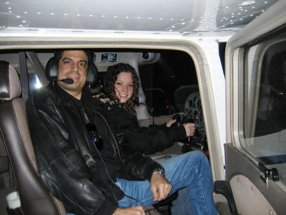
in a 2007 Schweizer 269C helicopter
March 31, 2012
Weather conditions:
Ground level temp: Hot, and humid, 82?F (~28?C), visibility:
clear, some turbulence, precipitation: 0
ell,
as I have shared before, why keep the joy of flying to yourself?! Yes, we
will always meet less creative, less adventurous, and less imaginative
people, who may not "understand us," but I assure you that there are many
out there just like us living for the opportunity to jump on the chance to
try and enjoy such a delightful, practical, and exciting experience!
You don't have to go far at all! just look around you... your
own family, friends, or -for heavens sake- your own gal or guy! What is more
romantic or fun than a sunset or sunrise flight with the one you love, or
flying together with the family to a vacation spot somewhere? and what is
more romantic than to let your special one fly you for a spell (while you
keep your 'eyes' on the controls -if they are not certified yet)?!
Guys and gals who fly: if you are one of those who need an
excuse to go flying: V-day is approaching! skip spending your cash, or
scrounged-up change (for us less affluent folks [lol]), on the boring gifts
that end up in the attic or garage sale, and plan to give the gift of an
everlasting memory! that is a smart investment and resources well spent!
invest in the love of the one you love! ... hint, hint!
* * *
After several adventurous and prosperous weeks of work at the office
('speaking about my full-time for-pay career that, among other tools, helps me support my
full-time not-for-profit work as
an active team member and supporter of The TPA),
studying and leading projects while reading and sending data from one computer
screen to another, drowning in teleconferences, looking down at reports,
analyzing, addressing challenges, and dealing
with the heck of the business world that most of us Americans are familiar
with... it was time to recharge, meditate and relax, else go wacky-bonkers!
... I stepped out of the office on Friday and looked up at the big Texas sky
above me with one thought in my mind, the same thought that was on my mind
at the beginning of the week: I am going to go flying this
weekend! It was either that (a bit of R&R), or soon enough start spending
dough on treatments for stress related ailments of the mind and body as
-unfortunately and sadly- many Americans do today! I would rather live by
the proverb: "An ounce of prevention is worth a pound of cure."
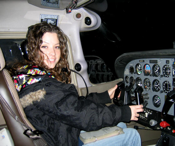
Saturday came, and we were ready for it! "We" are Ashley and
I. Our adventure started near Dallas-Fort Worth International Airport (DFW),
on the Fort Worth county side, where we drove from; then we flew out of the
city of Addison, Texas, and its municipal airport (ADS). The Drive from home to Addison took us about 35
minutes -the road traffic was very reasonable, and the GPS in the car helped
me avoid high traffic areas and maneuver through construction areas without
getting lost while I drove! [lol]
The last time I flew out of ADS as a Pilot In Command (PIC)
was on the eve of Y2K! Ashley, had only flown onboard commercial jetliners, and -like many- had never been
behind the controls of any aircraft.
Having unexpectedly injured my arm and bruised a rib, mid
last week, during martial arts
sparing with a mild-tempered, pleasant, eager, and confident Black-belt, 1.5
times my overall size, at the Dojang (道場), who always has a broad smile on
his face that reminds me of the cat Tom after he swallows the mouse Jerry
(in the animation "Adventures of Tom & Jerry")!
-admittedly, I was dodo enough not to wear my arm guards so
that I can block his attacks properly... %@#$&! as the horse in the cartoon
to the right of this paragraph describes!...
... anyway, I digress... I did not feel comfortable to fly
the plane in that condition while carrying "precious cargo" (Ashley) on
board, so, turning negative into positive, I decided to surprise her: today,
the bambina will be at the controls! yep! and I solicited the professional
services of a friend, Certified Flight Instructor (CFI), and recent addition
to The TPA membership, Eric, to do the instructing (also, this way Ashley
can officially claim her flying hours on her first pilot log book!).
My mission changed... it pays to be flexible and dynamic when
needed! My presence now was for the joy of the ride... well, the flight...
and to do a tad of instructing/guiding when
appropriate or necessary, and act as a co-pilot to assist with checklists
incase of an emergency (I was requested to be a backseat driver/pilot, and I
volunteered to be a cheerleader to boot! how unique! [lol]), otherwise, my
primary focus was to enjoy watching Ashley experience the joy and wonder of flying as
a PIC, and to do a bit of "video-ing" with a new DCR-SX85 Sony camera I got my hands
on (which I hate to say that I was VERY disappointed with), and a smidge of "pitcure-ing"
with my good ol' Canon, and
a bunch of chillaxing as a VIP passenger! [lol]
At ADS. New pilot briefing done. Checklists done. One
heck of a meticulous person! well done item by item.
Now, let's go!
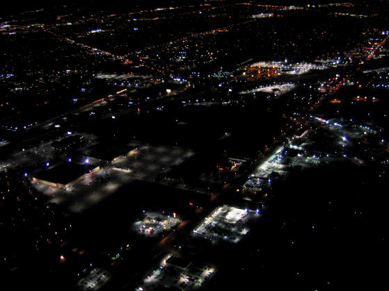
Due to the density of Dallas Love Field's (DAL)
commercial jetliner traffic tonight, we were politely and apologetically denied a
request to tour over the Dallas downtown area during the time we wanted -we
requested this via the ADS Air Traffic Controllers (ATCs), who were kind
enough to check for us with DAL; so, instead, we charted a flight plan that
took us in an arc heading eastbound around Dallas, avoiding the DAL
aerospace, then flying southbound over White Rock Lake, and then
south-southwest towards Lancaster (LNC), where, after we declared our
location and intentions over the radio -being that LNC is not a controlled
airport, Ashley practiced some flight maneuvers over and around the airport and
its runway that lay there almost resembling a tall and narrow Christmas tree
with the coloring of its lights midst the surrounding darkness.
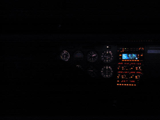
La se?rita flying us over
Lancaster, Texas, at about 2200ft and an airspeed of about 120KAS
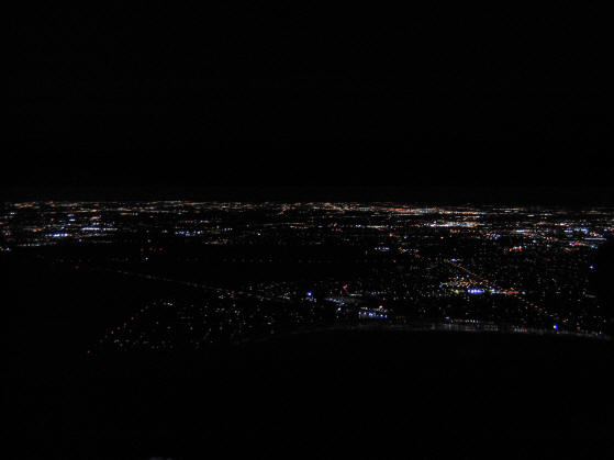
Ashley flew us by the communication masts that tower around +1700ft
(+520m) over the hills of the city of Cedar Hill, then we headed towards
Arlington Municipal Airport (GKY). We flew over and around Joe Poole Lake
until we paralleled its western shores as we aimed north again, and this is
when we requested clearance to perform a touch-n-go at GKY. The ATCs at GKY
were very kind and professional -as it was with all these ATC towers we
contacted- and GKY approved our request... Ashley started the process of
aligning the plane's approach with the cleared runway (34)... on final, mixture, carb heat, watch
airspeed, continue decent, flaps, aim for threshold, pull nose up, stall,
glide, touchdown! throttle-up to max power while
preventing yaw and keeping wings level, max rate climb speed, trim, raise
flaps -no more than 10 deg at a time, allow speed to increase further, trim,
raise remaining flaps, achieve best rate climb, trim... and we were aloft again
with this promising student-pilot at the controls!
We flew over the
Arlington Highlands where we could clearly see the "Dave & Busters"
location as we rounded the area, and read the "Bed, Bath & Beyond" on that
building as we circled west then back north-east-north... the parking-lots in the middle of
the Highlands were pretty full, hopefully indicating good business for the
fair city of Arlington, and good times for its citizens and neighbors on this Saturday
night!
Can you guess where are we flying?
Time was flying (pun intended! [lol]) as we continued to have
fun; but speaking for myself at this stage, I was starting to become
famished (I complained that this flight had no food service! [lol])! So, we started heading
back up northeast to ADS via the reverse route we took flying to GKY after
over an hour and a half of flight. We
passed downtown Dallas to our left; downtown Dallas looked like a beautiful
bride with her bridesmaids, and all were dressed in a tasteful display of
light adorning the architecture of the buildings. I recorded some video
(hopefully I will be able to extract some good stills to post here soon.)
About six or so miles from ADS we called in for clearance to
land back at our departure airport... it was cordially granted.
The temperature was chilly, and the sky was relatively clear;
after landing, and stepping out of the warm aircraft cockpit, the
temperature contrast was pretty noticeable! After Ashley and I helped Eric push, guide, and
park the aircraft in the hanger at the head of several other sister C-172s
that were tucked-in for the night, then closing and securing the bay doors,
we went in where Ashley got her first flight logged on her pilot log book...
she officially earned 1.6 hours of flight towards her pilots license
training, which I truly hope that she will chose to pursue, because I
believe -as I had when we first met- that she's got the gift!
After leaving the airport, we jetted out and cruised to grab some chow and winddown, in
the city of
Las
Colinas, Texas, on the way back home. Flying like this can really open a person's appetite,
especially if you had not eaten much prior to the flight! Ashley noted that
she was not thinking about food until after we landed and she started
absorbing the reality of the experience she just had [lol]... Of
course, my true excitement for her feelings did not prevent me from being
hungry, and I was the one who ate... Ashley... well, some gals just... just don't
chow down, and at most times, in contrast to most men, nibble like elegant cats!
and that is simply part of their wonderful charm. [lol]
[Due to the size of the original file, these videos are being updated
into three volumes.
The Simulator
Training is displayed above ...
The Checklist and flight videos are being
uploaded and are coming very soon!]
I have never flown with someone who picked-up so
quickly on how to control and fly a plane! ...
... Oh! and bring us back down to earth in one
piece... well, with a little help ;-)
Campsites & Other Facilities:
Facilities include restrooms with showers; picnic sites with tables and
grills; hike-in, primitive campsites; campsites with water and
electricity; 4.5 miles of hiking/backpacking trails; 10.3 miles of
mountain bike trails; 2 boat ramps (ten lanes); group picnic pavilions
(capacities 50 and 100); and 2 trailer dump stations. All campsites have
electricity and water and are located in wooded areas. Nearby Joe Pool
Marina (972/299-9010) offers a year-round grocery store, plus boat
rentals, and a fishing barge.
Wireless internet access (Wi-Fi) is available in some areas
of the park for visitors to use. Please check with the park for details.
Reference material for nearby airports
Unfortunately, this is not going to be a "camping with the plane" event
[sad snif], but, there are several airports within 20 minutes from the
park.
More
details about the airports listed above can be found at:
We will be exploring -in the near future- "camping with your plane"
adventures in Texas (ex. Big Bend Ranch State Park), and also in some of
our neighboring States such as: Oklahoma
(ex. Lake Texoma), and Arizona (ex.
Payson)!
Activities:
1,826 acres of rugged, natural beauty
Ready for adventure and R&R at the same time!
Set for camping, hiking, riding and even fishing!
Tent and Sleeping-bag, small icebox and water
thermos, food and mess-kit, towel and change of proper cloths, tools,
hiking and first-aid gear, lantern and stove, foldable table, a compact
portable 12VDC power source... oh! and last but not least: camera,
windup radio, & a good book for the cold and stormy Saturday!
Camping
- Features 355 mostly wooded campsites with a shade shelter over
some of the picnic tables. Each site has water, electricity, a
fire-ring, a lantern pole, and a picnic table. All campsites are within
walking distance of restrooms with hot showers. Additionally, there are
30 primitive campsites.
Mountain
Biking and Hiking- Cedar Hill State Park is
home to the premier North Texas mountain bike trail. The DORBA trail,
named for the volunteers of the Dallas Off Road Biking Association, was
built by mountain bikers for mountain bikers. Over 1200 acres of prime
mountain bike landscape are crisscrossed with 15 miles of intense
riding. This exciting trail is closed after rainfall so call
972/291-3900 and press star 2 for trail conditions.
Birdwatching
- Birdwatching is a popular activity year-round at Cedar Hill State
Park. The most sought after bird at the park is the Painted Bunting.
Painted Buntings abound in the Park from the first week of May through
August each year. The park is home to other neotropical migrants
including the Yellow-billed cuckoo, the Indigo Bunting, the Chuck-will's
Widow and many others. Fall and winter brings: Ruby-crowned Kinglets;
Yellow-rumped Warblers; Gold Finch; American Kestrel; and Cedar Waxwing.
Resident birds include the Eastern Bluebird, the Greater Roadrunner, the
Loggerhead Shrike, the Red-tailed Hawk, the Great Horned Owl, both the
Turkey and Black Vulture, and the Bewick's Wren. The park's bird list
contains almost 200 species!
Picnicking:
There are over 200 picnic tables with waist-high grills, and most have a
view of the lake. A few things can compete with dining al-fresco,
year-around, especially here in Texas where the fall (autumn) and winter
weather is relatively mild in most places around the state! Make it a
family and friends event, or, why not just a romantic one for two? A
candle-lit dinner does not have to be indoors!
Or, you
can use your own grill if you like!
Chillaxing
and warming-up by the campfire, before hunkering-down for the night and
getting some rest
Fishing:
Features two lighted fishing jetties and a perch pond for youngsters.
Lake fishing includes largemouth black bass, crappie ,and catfish. Slot
limit on Joe Pool is 5 largemouth bass limit of fish under 14 inches or
over 21 inches, with only one being 21 inches or greater. Crappie must
be over 10 inches and the limit is 25 fish.
Swimming beach: The park has a gravel swimming
beach surrounded by picnic tables with grills. There are no lifeguards
on duty; therefore, swimming is at your own risk.
Playgrounds: The park has 3 playgrounds
conveniently located throughout the park.
Boating:
Two concrete four-lane boat ramps welcome our boating enthusiast. There
is also ample lighted boat trailer parking.
1 and 2 person kayak rentals are
available through a concessionaire from March through October.
Joe
Pool Marina:
A convenient store that sells bait, fishing gear, and camping gear, as
well as some food products. Yearly boat slip rentals are available. In
addition they have an indoor/outdoor fishing barge. They can be
contacted by calling 972/299-9010.
The Fort Worth Alliance Airshow (AFW)
Fall (Autumn) 2011
An overcast day at Fort Worth, Texas -Fort Worth Alliance Airshow, October
23, 2011
Well!
Here we are at the end of October, and very
soon we will be darting through November too... another circuit around the
sun is almost complete, and a new journey is about to start!
Hello and welcome to you one and all!
Today, October 23, 2011, a relatively breezy, overcast and cool
noon (81F/65F - 27C/19C) with a personal estimation of the cloud ceiling at
this hour to be ~3000ft... I ventured and drove to the Fort Worth Alliance
Airshow to take more photos to only learn that it has been cancelled
for the day. Not one of the desert camo fatigues-dressed guards would tell of the reason, although one
answered my inquiry politely with a very friendly but mischievous and humorous smile, by saying: "orders, sir"
as he leaned towards my coup?s open
right-side window... I laughed in return and
thanked him for his attention as I waved and accelerated forward.
The cancellation did not stop many people and
families from parking along the sides of roads by Alliance Airport (AFW) to view the parked
aircraft, including the USAF Thunderbirds' F16 Fighting Falcons, and a C-17;
several seemed hopeful that the show will still go on as they sat on their
folding chairs with their coolers, chatting along and staring at the runways
for any movement and at the sky every time we heard a sound that resembled
an aircraft above!
I left the airport and headed to Cabela's, off
I-35W, based on a "hint" that an "official" at the airport gave me, which
was that there might yet still be a fly-over to be seen from that location;
I arrived. After meeting with a group of aviation enthusiast of all ages,
individuals and families, parked at Cabela's, still waiting with their
binoculars and cameras for a demonstration show, I informed them of what I
learned about the cancellation; yet, we all decided to remain hopeful! And
we remained there until 1600 as we chatted and talked about aviation, the
aviation industry, and even history. Several of the enthusiast-spectators
were not just hobbyist, for several of them were aviation professionals, and
several others were ex-armed forces.
It was originally thought that the reason for
the apparent cancellation was the overcast weather, which cleared around
1500CST, but we could not understand why the access to the static Airshow
was prohibited... We were told later that the reason the Airshow was
cancelled was due to one of the visitor parking areas being "flooded" from
the rains of last night... everyone's answer to that revelation was: "what?!
I can't believe it!"
There were people from all over the
DFW-metroplex and other areas, adults whom many had their families and
children with them... the disappointment was seen on all their faces. I
managed to shoot some photos, and later we saw what looked from the distance
like two F-35's take-off with a thunderous echoing roar heading north while
climbing rapidly into the cloud-cover where they disappeared. At about 1600
a Cessna, which seemed to originate from Arlington (GKY), did two fly-by's
over Alliance without touching down, and that is when everyone became
totally convinced that there is no remaining hope.
It was a privilege to meet all these wonderful
folks, and interact with them and their families, of which several
expressed their genuine interest in supporting The TPA and its vision! that alone
made my drive worth while!
I decided afterwards to take further advantage
of being in the area and transit to Roanoke's Northwest Regional Airport
(52F), which is reportedly the largest privately owned airport in Texas -if
I am not mistaken, to visit some old friends based there, and while I was
there, I also made a few new ones, such as Rico, an intelligent,
open-minded, ambitious, and educated ex-Marine, who now works in the
aviation maintenance industry... I was happy that I stopped by. The only
unfortunate thing was that I was very hungry by now, and the Blue Hanger
Cafe at 52F was closed for the day! Darn!
If you missed the event on Saturday, Oct. 22,
2011, then here is a couple of videos from the event... I was assured by
several of our supporters that there are more videos and photos that will be
shared with us soon:
Recognizing that this is not the last
opportunity to witness this show, I would like to remind you, dear reader:
If you are interested in catching this Airshow
at other cities/towns, please visit the event
calendar page and find the show you are interested in. If you can not
find it listed and you would like some help, drop us an email or give us a
call, and I am confident that we at The Texas Pilots Association will be
able to help you!
I Hope to personally cross paths with y'all
soon!
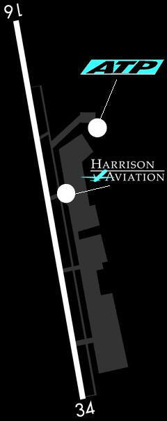
Fort
Worth Spinks Airport (FWS) & Cleburne Municipal Airport (CPT)
As the searing sun's radiation, and sweltering heat, grill us -here in Texas- this summer, and
as I develop another healthy and protective layer of suntanned skin, I
figured that I might-as-well earn a few hours flying in the same bright
sunshine, yet at a bit cooler
altitude while at it!
Spinks Airport, opened
in 1988, and is a general aviation reliever airport for the
Dallas/Fort Worth Metroplex. It is located 13 miles south of downtown
Fort Worth and offers easy access to Interstate 35W and by-passes the
DFW Class B airspace. The airport is adjacent
to the now closed Oak Grove Airport, which was built by Maurice Hunger
?Pappy? Spinks. Spinks was named the 2007 Most Improved Airport by the
TxDOT Aviation. The airport offers high quality facilities to include a
full service FBO, multiple maintenance facilities, three flight
schools, AWOS, car rental, and hotel facilities only minutes away. An
estimated $15 million in private hangar developments have been
constructed since 2006.
After the video below loads, click on the
"Play" button if you would like to view it:
[This video is the low resolution version]
PERSONAL NOTES:
Slight cross-wind during the touch-and-go at CPT and during the landing at
FWS. The last time I flew a C150 was in 1990-1991, so it was fun to fly it
again, but I was also reminded during this journey of its weaker engine vs.
both the PA-28-161 and the C172R/S which I got used to flying. I think that in
a good headwind I can get the C150 to hover! Nonetheless, I repeat, it was
tons of fun to fly it, and I would love to do it again!
The ATC's were very courteous and professional at FWS. I visited the control
tower, before I left the airport area, and met then spent sometime with both
ATC's on duty: Scott and Clinton; they both shared some useful information,
and it was nice to see them in action doing their job. CPT is not a
controlled airport.
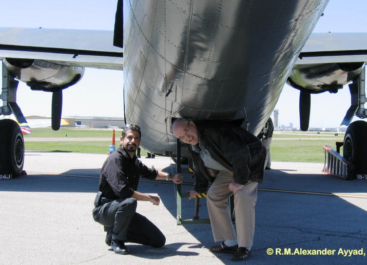
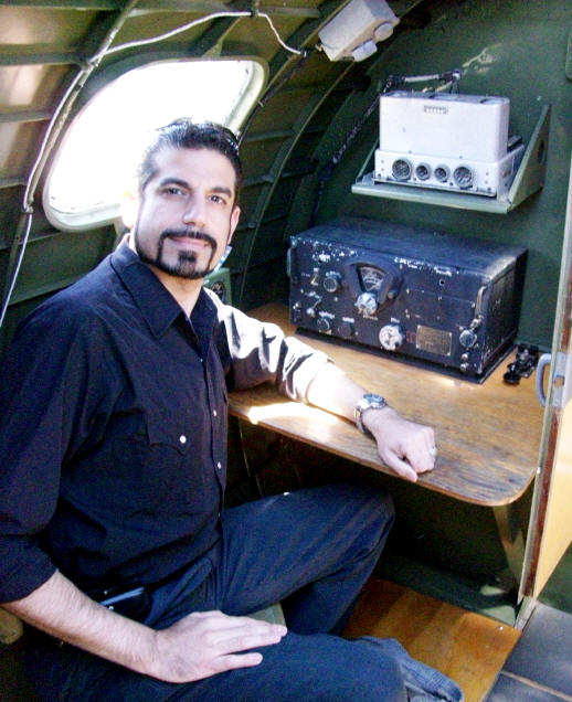
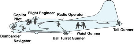
The B-17, Flying Fortress' radio operator:
The radio operator was isolated from the rest of
the crew in the midsection of the bomber. He had a restricted view and
usually had to sit at his receiver and sweat out the battle that raged
outside. Yet he was a key member of the team, handling the communications
equipment which frequently proved a life saver for the crew. One of the
first jobs the radio operator did when entering his position was to tune in
his equipment and make sure the frequencies were correct. The signal was
strong at base, but the further away the mission ranged, the weaker the
signal grew. All coded transmissions were sent or received by Morse code so
even though the signal might be weak and contain static, the message could
be understood. Each mission had a primary and secondary target; if the lead
pilot decided the primary was a bad risk due to weather or adverse
conditions he could elect to attack the secondary target. It was the duty of
the radio operator to inform headquarters in a coded message which target
was bombed and the bombing results. This information often affected the
planning of the next day?s mission.
While the aircraft was en route the radio operator listened for any messages
that might be sent from headquarters, such as a decision to abort the
mission. Another function of the radio operator was to receive a radio fix
for the navigator. The radio operator would hold his Morse key down and
transmit a solid signal for approximately one minute. This signal was
received at widely spaced installations with highly sensitive radio
compasses. This signal was then read and a line projected on a map from
various installations that would intersect to indicate the aircraft?s
position. The same procedure could be used should a B-17 be forced to ditch
at sea. If the plane was within friendly territory and went down, a distress
signal was transmitted by holding the Morse key down and sending out this
constant signal. The aircraft?s position was then given to air-sea rescue
and the signal assisted in saving many crews.
Source of image and excerpt: Commemorative
Air Force (CAF)
The radio compartment was located between two bulkheads on
the B-17: one directly behind the bomb bay and the other just forward of the
ball turret. The radio operator sat facing forward on the left hand side of
the aircraft with a work table in front of him. The liaison radio receiver
and transmitting key were located on the radio operator?s table, while the
liaison radio transmitter was mounted to the bulkhead directly behind him.
These sets were used for long range communication in Morse code and were
known as wireless telegraphy or W/T. On the right-hand side of the rear
bulkhead were five transmitter tuning units.
Located on the forward right side of the aircraft were two transmitters and
three receivers for the command radio. Known as R/T (radio telephone), its
purpose was as a short-range vocal communication with nearby air or ground
stations. The pilots used the command radio by use of their controls mounted
in the cockpit overhead. The radio operator was also trained as a gunner and
manned a flexible .50 caliber machine gun out the top of his compartment. On
early B-17?s the hatch was removed so the gun could be maneuvered. This let
in the cold slipstream and made the radio operator?s duties very
uncomfortable. Later B-17?s had an enclosed covering with the gun attached
to a special swivel socket so the top hatch did not have to be removed.
Under the floor of the radio room compartment was a large camera used to
take photos of the bomb run. The radio operator activated the camera during
the bomb run to take photos of the target area.
The radio operator was also trained as the first aid man of the crew. Other
emergency equipment and tools were located in the radio room, considered to
be the safest place in the aircraft during ditching or crash landing. In the
event of such an emergency all crew members, except the pilots, would come
to the radio room and sit with their backs toward the forward bulkhead.
Short clip from the B-17 while flying over Dallas
Short clip of the B-17, at Dallas Love Field (DAL),
while taxiing and parking after landing from the tour
flight
More photos from this event can be found on the
Album Page
Big Bend Ranch State Park... Targeting for a
visit!!
Before end of 2012
Things you can do
with an aircraft, and places you can go!
More can be
found on the Fly Texas Page
... Outer space is literally the limit!


 Once
I awoke, showered, and groomed myself, I was recharged like dynamite and
ready to go! I prepared my camera gear bag, and headed out. Thanksgiving morning
was an overcast one, and we were anticipating thunderstorms to roll-in, but
later in the afternoon. The temperature was a cool 65?F, but refreshingly
pleasant -especially for an event like this! Registration started at 0700,
and the race was supposed to start at 0900.
Once
I awoke, showered, and groomed myself, I was recharged like dynamite and
ready to go! I prepared my camera gear bag, and headed out. Thanksgiving morning
was an overcast one, and we were anticipating thunderstorms to roll-in, but
later in the afternoon. The temperature was a cool 65?F, but refreshingly
pleasant -especially for an event like this! Registration started at 0700,
and the race was supposed to start at 0900.


 ell,
as I have shared before, why keep the joy of flying to yourself?! Yes, we
will always meet less creative, less adventurous, and less imaginative
people, who may not "understand us," but I assure you that there are many
out there just like us living for the opportunity to jump on the chance to
try and enjoy such a delightful, practical, and exciting experience!
ell,
as I have shared before, why keep the joy of flying to yourself?! Yes, we
will always meet less creative, less adventurous, and less imaginative
people, who may not "understand us," but I assure you that there are many
out there just like us living for the opportunity to jump on the chance to
try and enjoy such a delightful, practical, and exciting experience! 

 Ashley flew us by the communication masts that tower around +1700ft
(+520m) over the hills of the city of Cedar Hill, then we headed towards
Arlington Municipal Airport (GKY). We flew over and around Joe Poole Lake
until we paralleled its western shores as we aimed north again, and this is
when we requested clearance to perform a touch-n-go at GKY. The ATCs at GKY
were very kind and professional -as it was with all these ATC towers we
contacted- and GKY approved our request... Ashley started the process of
aligning the plane's approach with the cleared runway (34)... on final, mixture, carb heat, watch
airspeed, continue decent, flaps, aim for threshold, pull nose up, stall,
glide, touchdown! throttle-up to max power while
preventing yaw and keeping wings level, max rate climb speed, trim, raise
flaps -no more than 10 deg at a time, allow speed to increase further, trim,
raise remaining flaps, achieve best rate climb, trim... and we were aloft again
with this promising student-pilot at the controls!
Ashley flew us by the communication masts that tower around +1700ft
(+520m) over the hills of the city of Cedar Hill, then we headed towards
Arlington Municipal Airport (GKY). We flew over and around Joe Poole Lake
until we paralleled its western shores as we aimed north again, and this is
when we requested clearance to perform a touch-n-go at GKY. The ATCs at GKY
were very kind and professional -as it was with all these ATC towers we
contacted- and GKY approved our request... Ashley started the process of
aligning the plane's approach with the cleared runway (34)... on final, mixture, carb heat, watch
airspeed, continue decent, flaps, aim for threshold, pull nose up, stall,
glide, touchdown! throttle-up to max power while
preventing yaw and keeping wings level, max rate climb speed, trim, raise
flaps -no more than 10 deg at a time, allow speed to increase further, trim,
raise remaining flaps, achieve best rate climb, trim... and we were aloft again
with this promising student-pilot at the controls!

 Camping
- Features 355 mostly wooded campsites with a shade shelter over
some of the picnic tables. Each site has water, electricity, a
fire-ring, a lantern pole, and a picnic table. All campsites are within
walking distance of restrooms with hot showers. Additionally, there are
30 primitive campsites.
Camping
- Features 355 mostly wooded campsites with a shade shelter over
some of the picnic tables. Each site has water, electricity, a
fire-ring, a lantern pole, and a picnic table. All campsites are within
walking distance of restrooms with hot showers. Additionally, there are
30 primitive campsites. 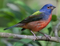 Birdwatching
- Birdwatching is a popular activity year-round at Cedar Hill State
Park. The most sought after bird at the park is the Painted Bunting.
Painted Buntings abound in the Park from the first week of May through
August each year. The park is home to other neotropical migrants
including the Yellow-billed cuckoo, the Indigo Bunting, the Chuck-will's
Widow and many others. Fall and winter brings: Ruby-crowned Kinglets;
Yellow-rumped Warblers; Gold Finch; American Kestrel; and Cedar Waxwing.
Resident birds include the Eastern Bluebird, the Greater Roadrunner, the
Loggerhead Shrike, the Red-tailed Hawk, the Great Horned Owl, both the
Turkey and Black Vulture, and the Bewick's Wren. The park's bird list
contains almost 200 species!
Birdwatching
- Birdwatching is a popular activity year-round at Cedar Hill State
Park. The most sought after bird at the park is the Painted Bunting.
Painted Buntings abound in the Park from the first week of May through
August each year. The park is home to other neotropical migrants
including the Yellow-billed cuckoo, the Indigo Bunting, the Chuck-will's
Widow and many others. Fall and winter brings: Ruby-crowned Kinglets;
Yellow-rumped Warblers; Gold Finch; American Kestrel; and Cedar Waxwing.
Resident birds include the Eastern Bluebird, the Greater Roadrunner, the
Loggerhead Shrike, the Red-tailed Hawk, the Great Horned Owl, both the
Turkey and Black Vulture, and the Bewick's Wren. The park's bird list
contains almost 200 species!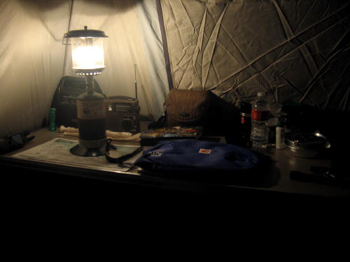
 Fishing:
Features two lighted fishing jetties and a perch pond for youngsters.
Lake fishing includes largemouth black bass, crappie ,and catfish. Slot
limit on Joe Pool is 5 largemouth bass limit of fish under 14 inches or
over 21 inches, with only one being 21 inches or greater. Crappie must
be over 10 inches and the limit is 25 fish.
Fishing:
Features two lighted fishing jetties and a perch pond for youngsters.
Lake fishing includes largemouth black bass, crappie ,and catfish. Slot
limit on Joe Pool is 5 largemouth bass limit of fish under 14 inches or
over 21 inches, with only one being 21 inches or greater. Crappie must
be over 10 inches and the limit is 25 fish.  Joe
Pool Marina:
A convenient store that sells bait, fishing gear, and camping gear, as
well as some food products. Yearly boat slip rentals are available. In
addition they have an indoor/outdoor fishing barge. They can be
contacted by calling 972/299-9010.
Joe
Pool Marina:
A convenient store that sells bait, fishing gear, and camping gear, as
well as some food products. Yearly boat slip rentals are available. In
addition they have an indoor/outdoor fishing barge. They can be
contacted by calling 972/299-9010. 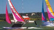
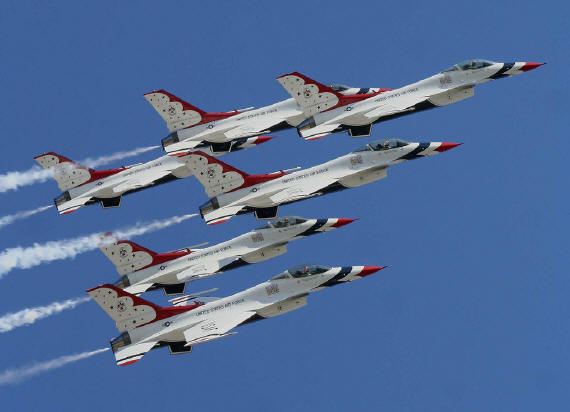
 Hello
everyone!
Hello
everyone!